Kleine Rundtour von Briançon nach Fort des Têtes
Eine road-Radroute, die von Briancon aus startet.
Entdecken Sie die Schönheit entlang dieser 44 km langen Strecke
Karte
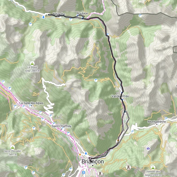
Eine kurze, aber intensive Radtour mit 651 Höhenmetern durch die atemberaubende Natur der Region. Highlights wie Val-des-Prés und Fort des Têtes bieten einen Einblick in die vielfältige Landschaft und Kultur entlang der Strecke.
road
44 km
651 m
Entspannen
Streckenprofil
Höhepunkte auf der Strecke
0 km
0 km
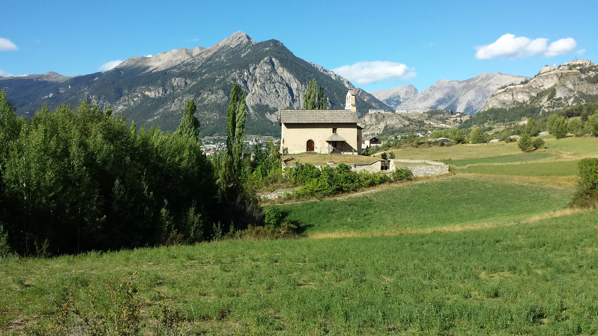
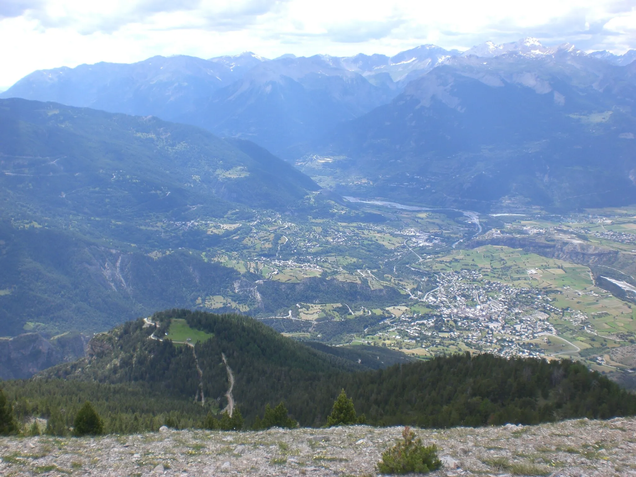
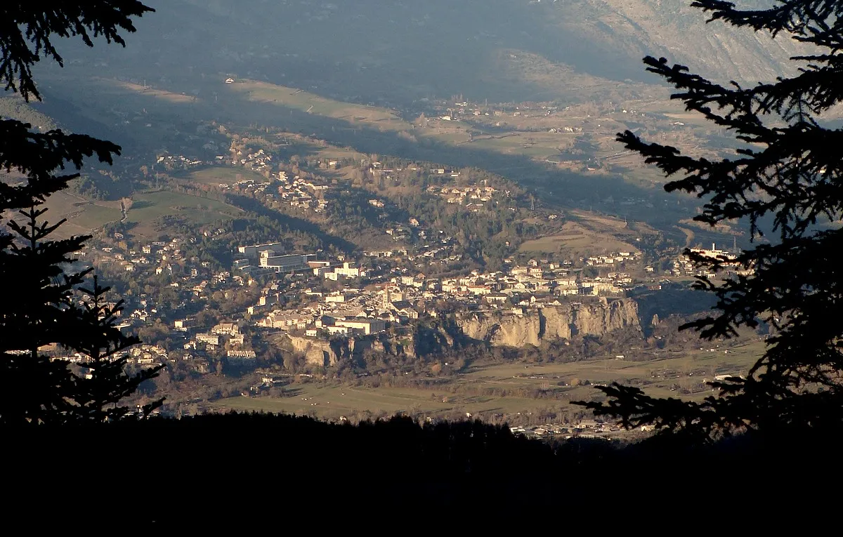
Start: Briançon City centerBriançon: Eldorado für Bergfahrer und Tourenrennen
Briançon ist eine Stadt in den französischen Alpen und ein Paradies für Bergradfahrer. Die Gegend bietet einige der bekanntesten Pässe der Tour de France, wie den Col du Galibier und den Col d'Izoard, die passionierte Radfahrer herausfordern.8 km
8 km
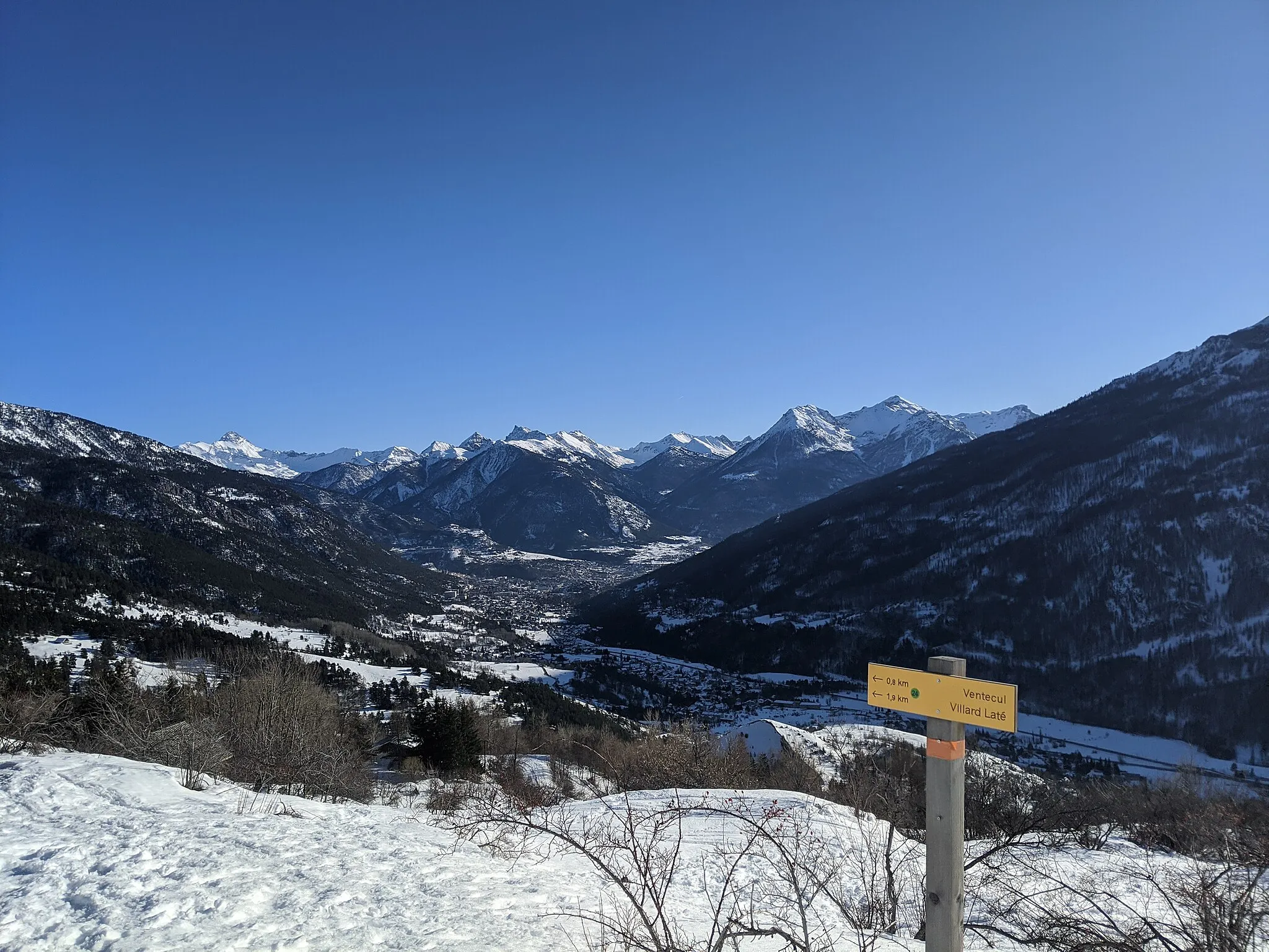
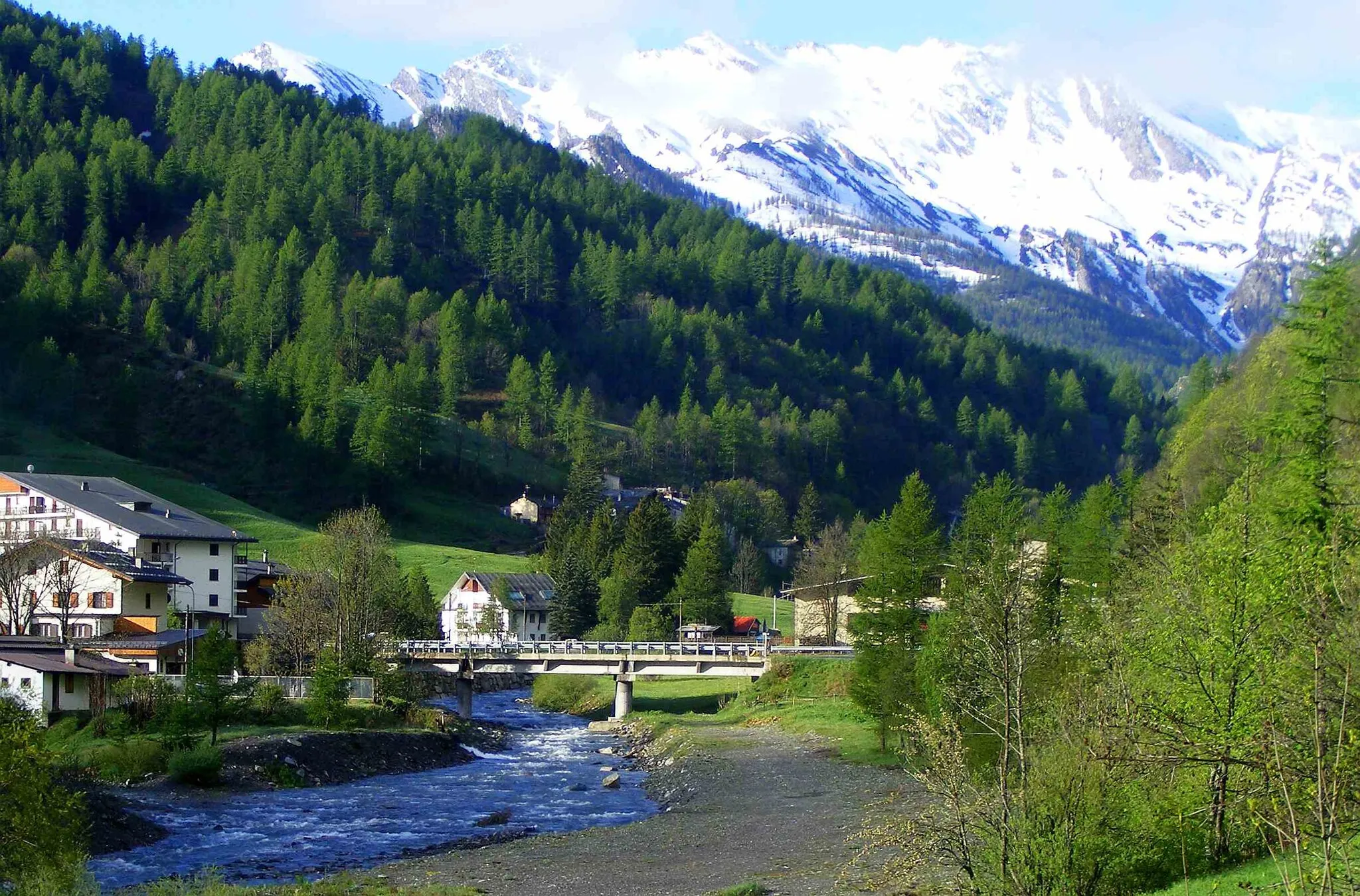
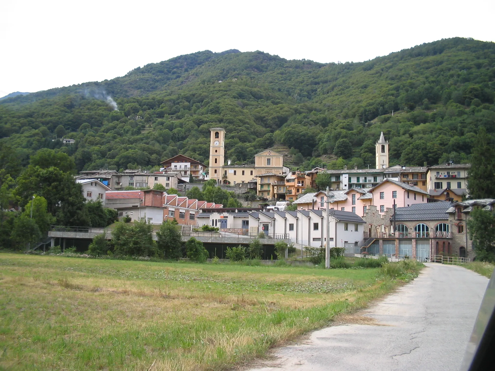
Val-des-PrésDorfVal-des-Prés ist ein malerisches Dorf an der Route.
20 km
20 km
NévacheDorfNévache ist ein schöner Ort zum Verweilen und Entspannen.
38 km
38 km
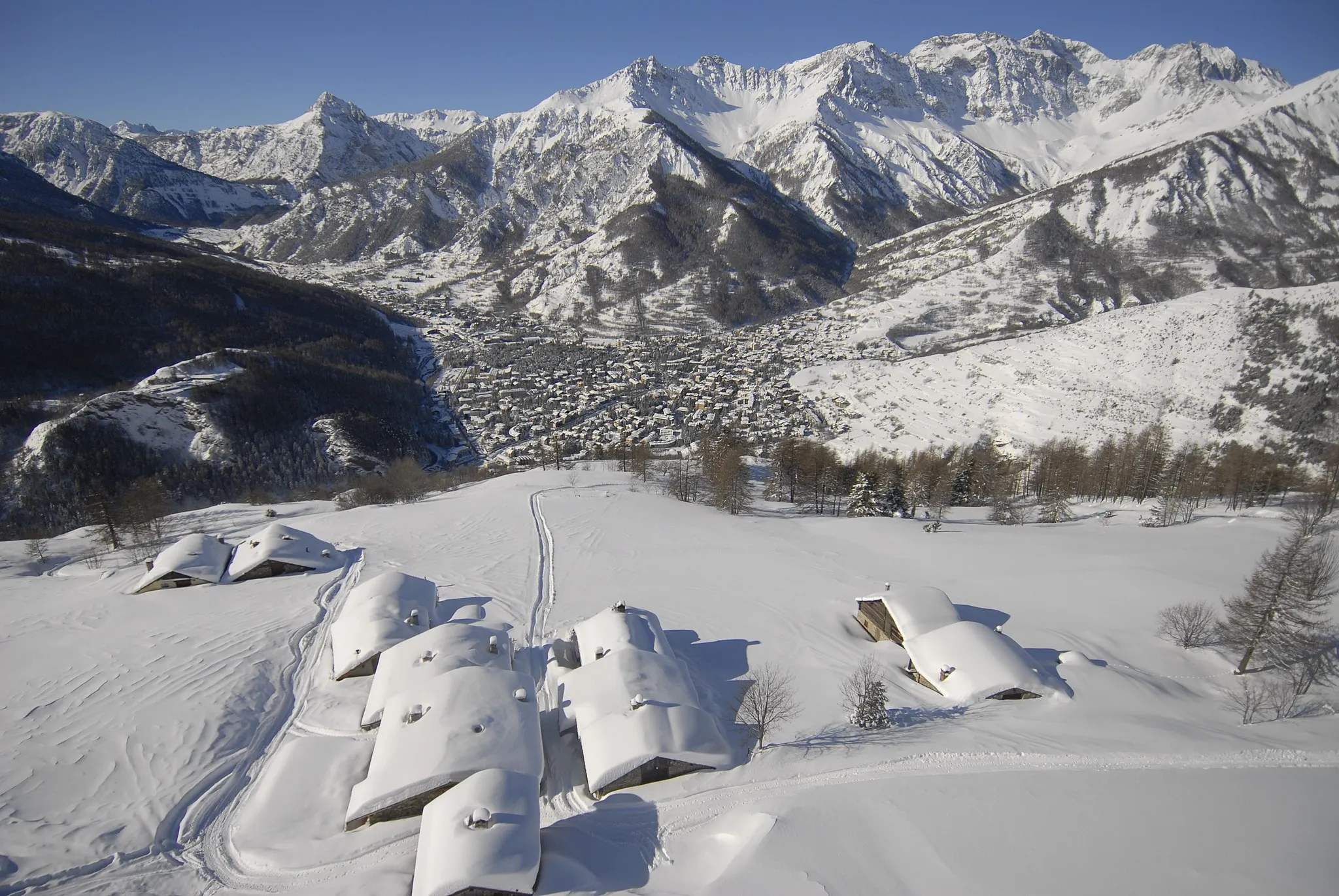
Les AlbertsWeilerLes Alberts ist ein charmantes Dorf mit historischem Flair.
44 km
44 km
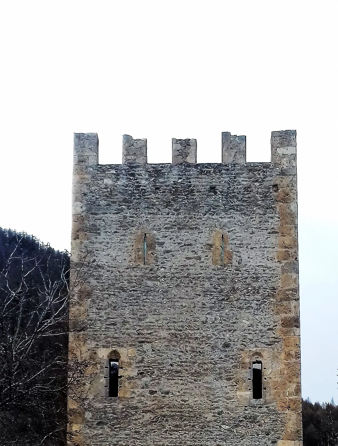
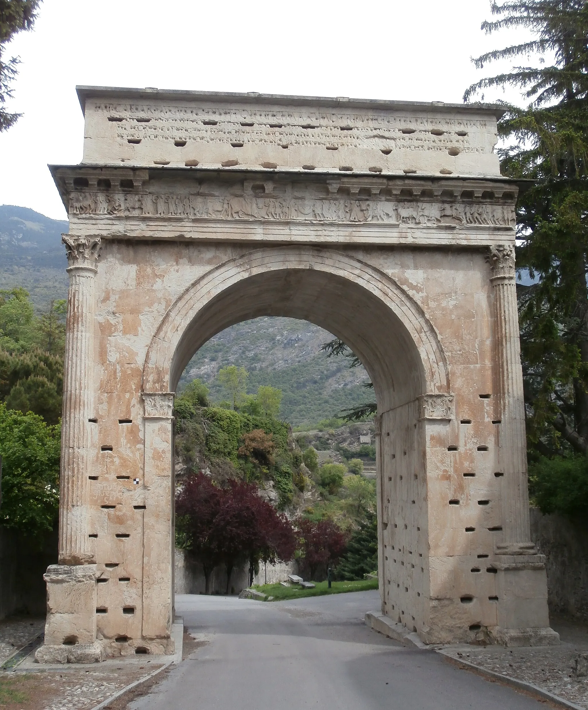
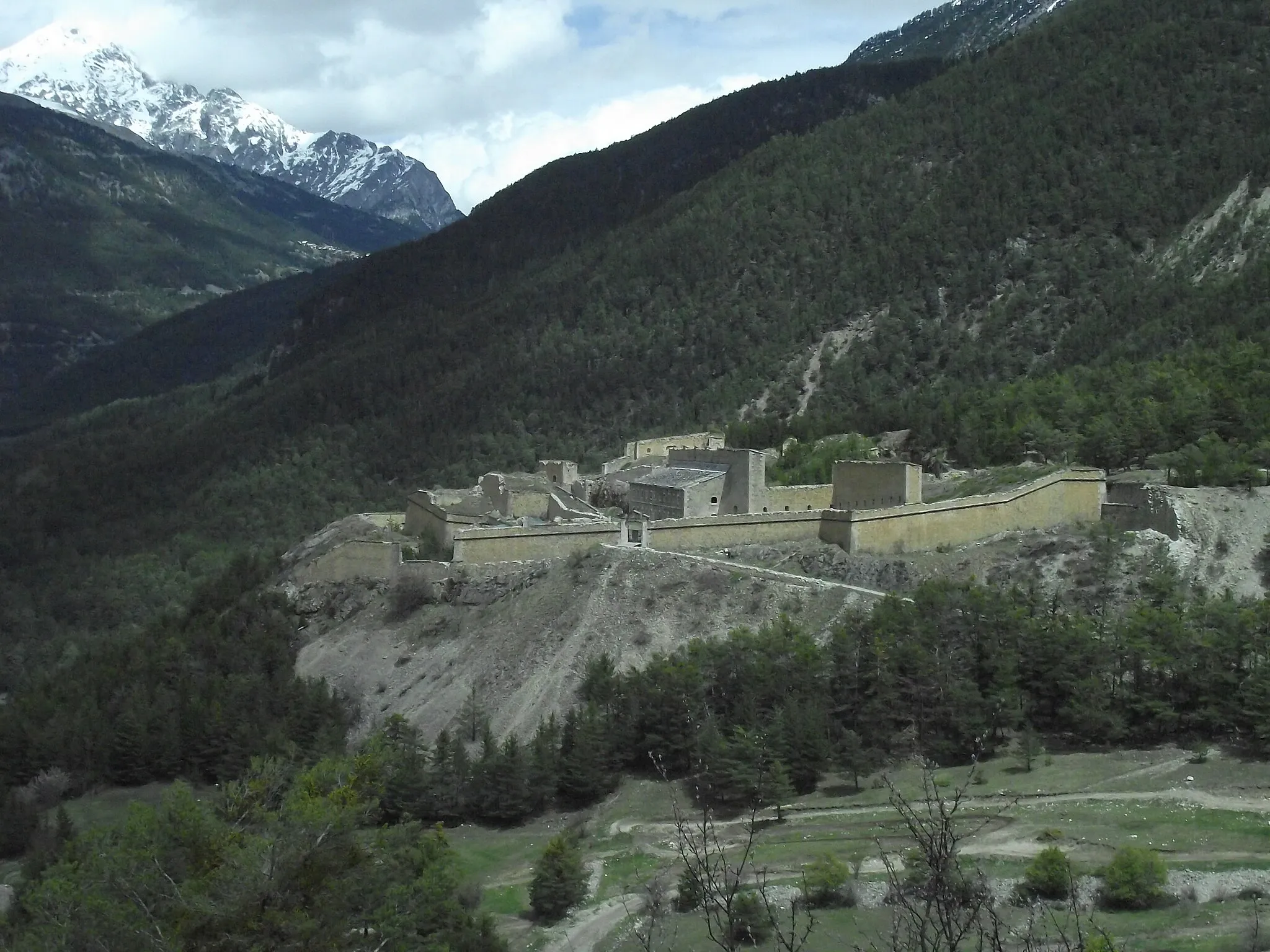
Fort des TêtesSchlossFort des Têtes ist ein historisches Fort mit beeindruckender Architektur.
44 km
44 km
Ziel: Briançon City centerBriançon: Eldorado für Bergfahrer und Tourenrennen
Radwege von Briancon:
Kleine Rundtour von Briançon nach Fort des Têtes Rundtour von Briançon nach Col d'Izoard Gravel-Abenteuer nach Fort des Salettes Gravel-Abenteuer von Briançon nach Cesana Torinese Gemütliche Radtour nach Puy-Saint-André Bergstraße zum Col d'Izoard Gravel-Erkundung von Montgenèvre Abenteuerliche Gravel-Tour von Briançon nach Oulx Entdecken Sie die Natur: Gravel-Tour von Briançon nach Montgenèvre Bergstraße nach Les Chalps
In der Nähe befinden sich Fahrradrouten: