Gravel-Abenteuer von Briançon nach Cesana Torinese
Eine gravel-Radroute, die von Briancon aus startet.
Aufregende 79 km durch atemberaubende Natur
Karte
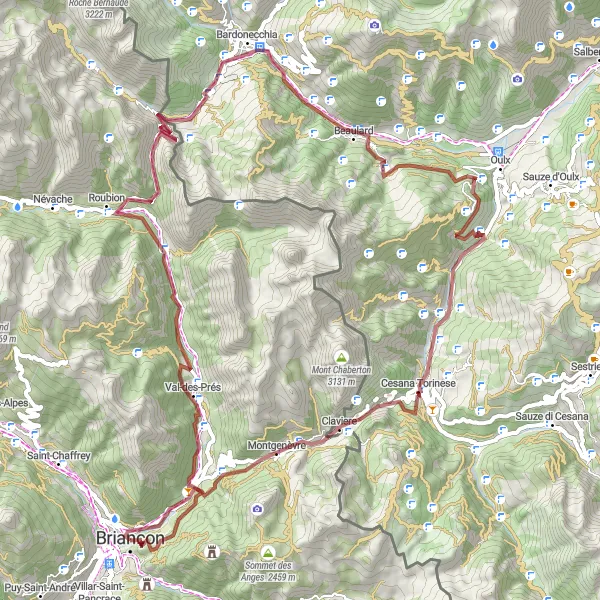
Diese 79 km lange Gravel-Tour mit 2473 Höhenmetern führt von Briançon nach Cesana Torinese. Unterwegs passieren Sie Highlights wie Fort du Randouillet und Roche Mayor. Die Route bietet eine gute Mischung aus Herausforderungen und beeindruckenden Landschaften.
gravel
79 km
2473 m
Schwierig
Streckenprofil
Höhepunkte auf der Strecke
0 km
0 km
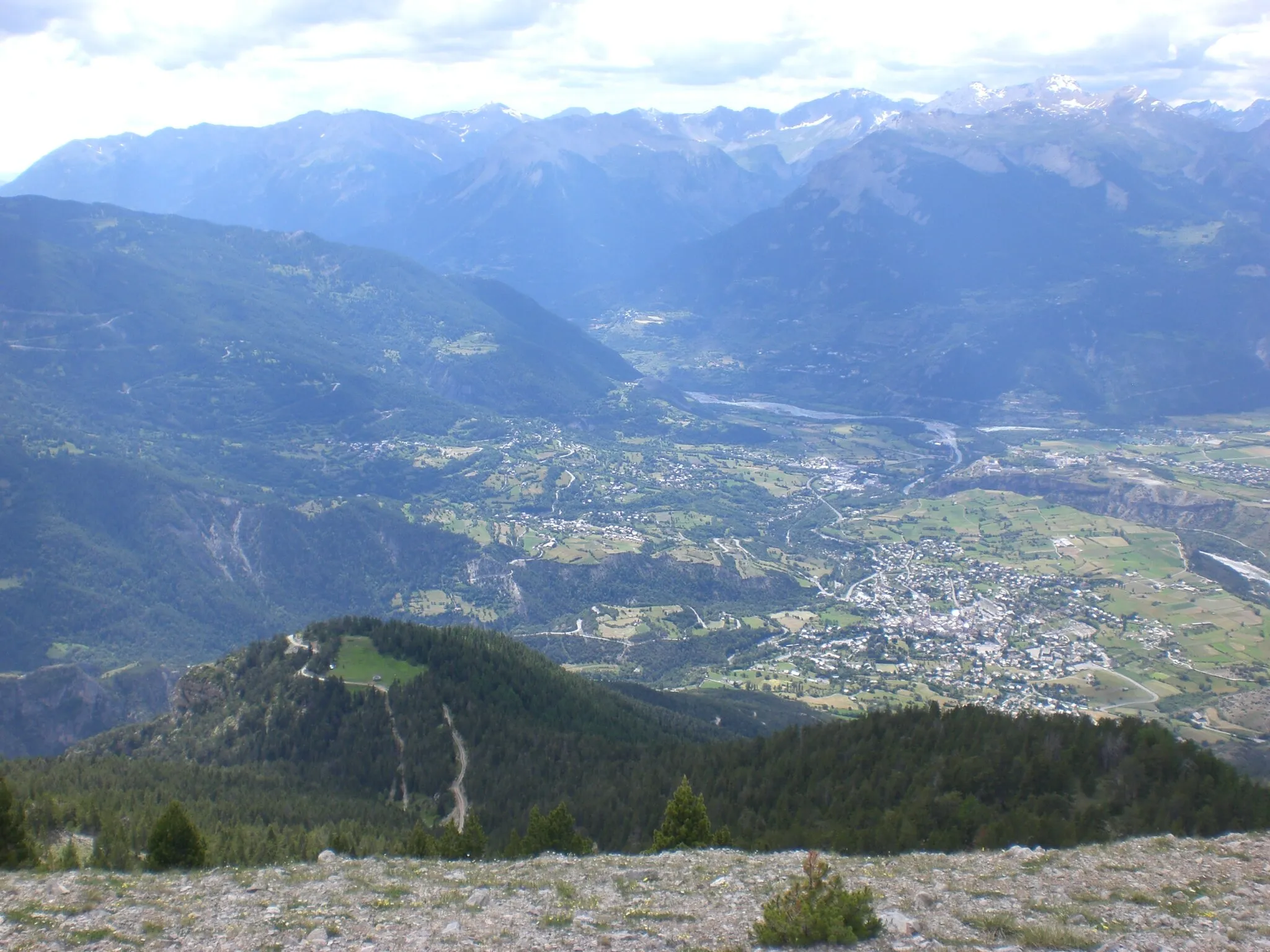
Start: Briançon City centerBriançon: Eldorado für Bergfahrer und Tourenrennen
Briançon ist eine Stadt in den französischen Alpen und ein Paradies für Bergradfahrer. Die Gegend bietet einige der bekanntesten Pässe der Tour de France, wie den Col du Galibier und den Col d'Izoard, die passionierte Radfahrer herausfordern.2 km
2 km
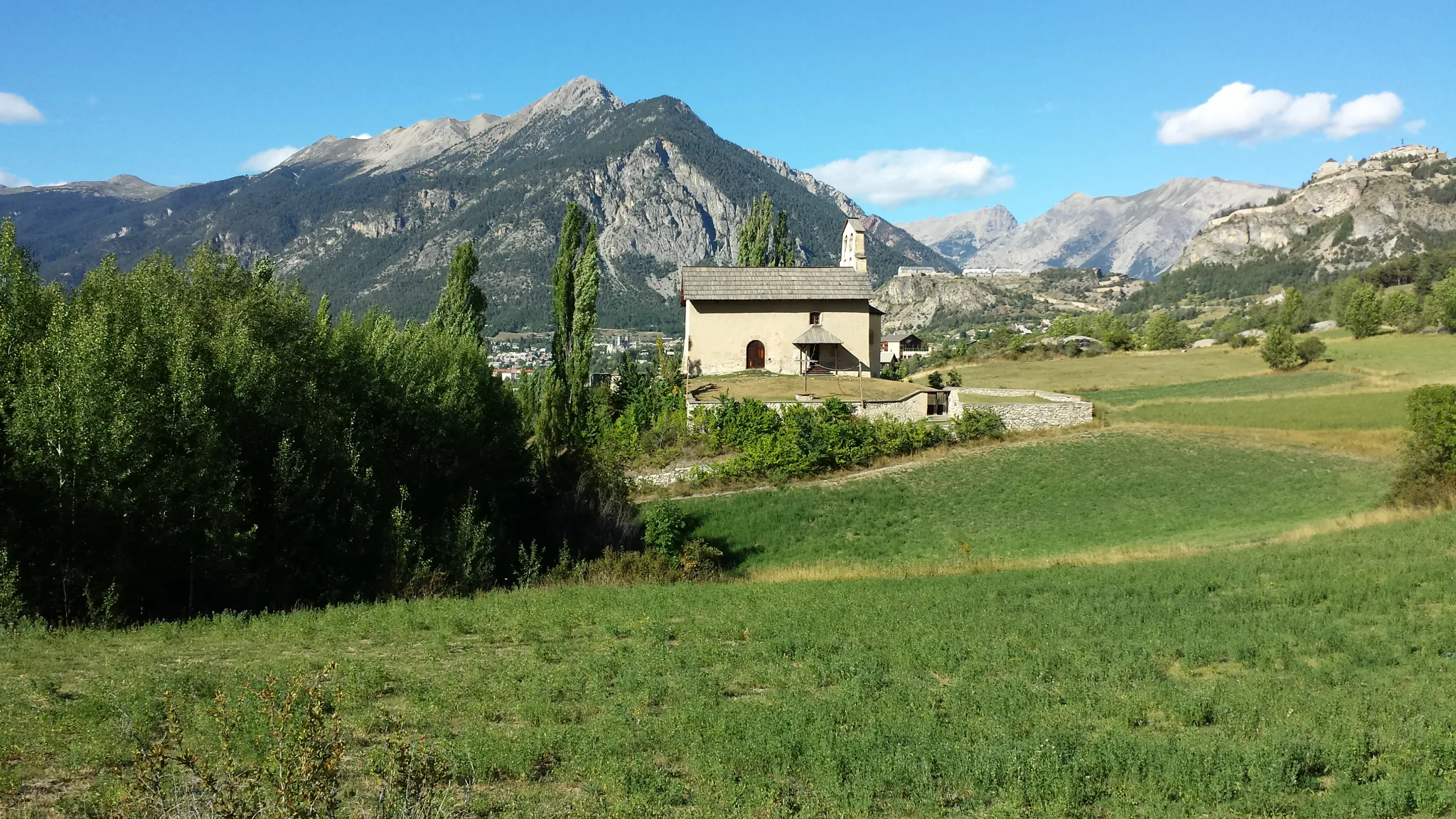
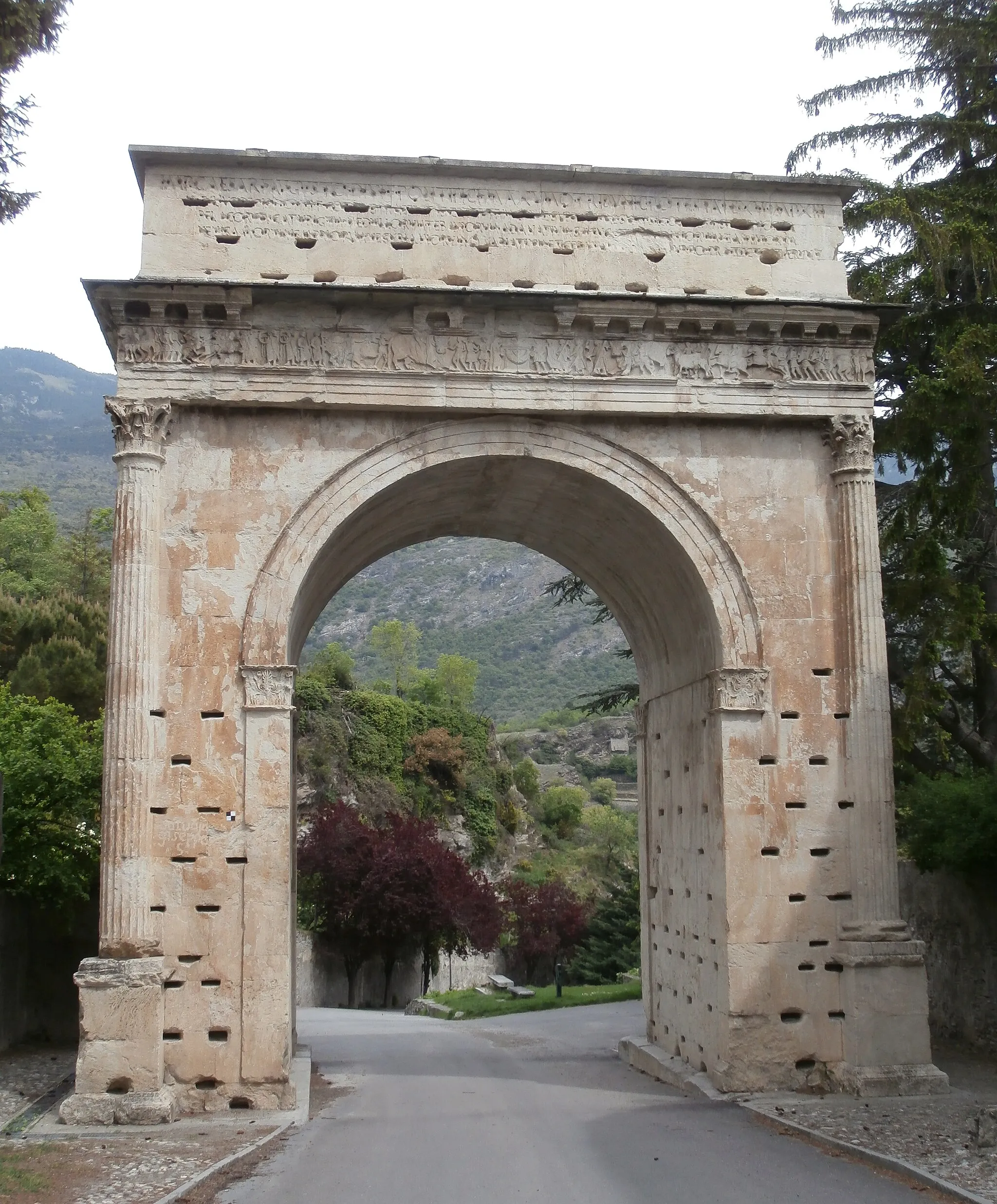
Fort du RandouilletSchlossFort du Randouillet ist ein historisches Fort mit beeindruckender Architektur.
10 km
10 km
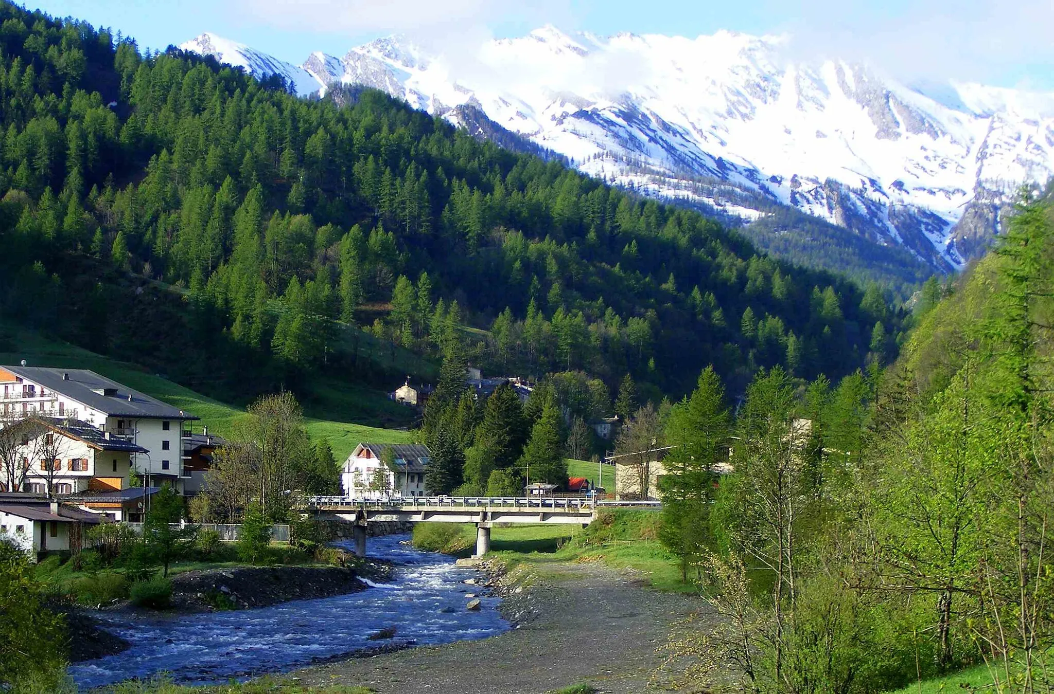
Val-des-PrésDorfVal-des-Prés ist ein charmantes Dorf entlang der Strecke.
23 km
23 km
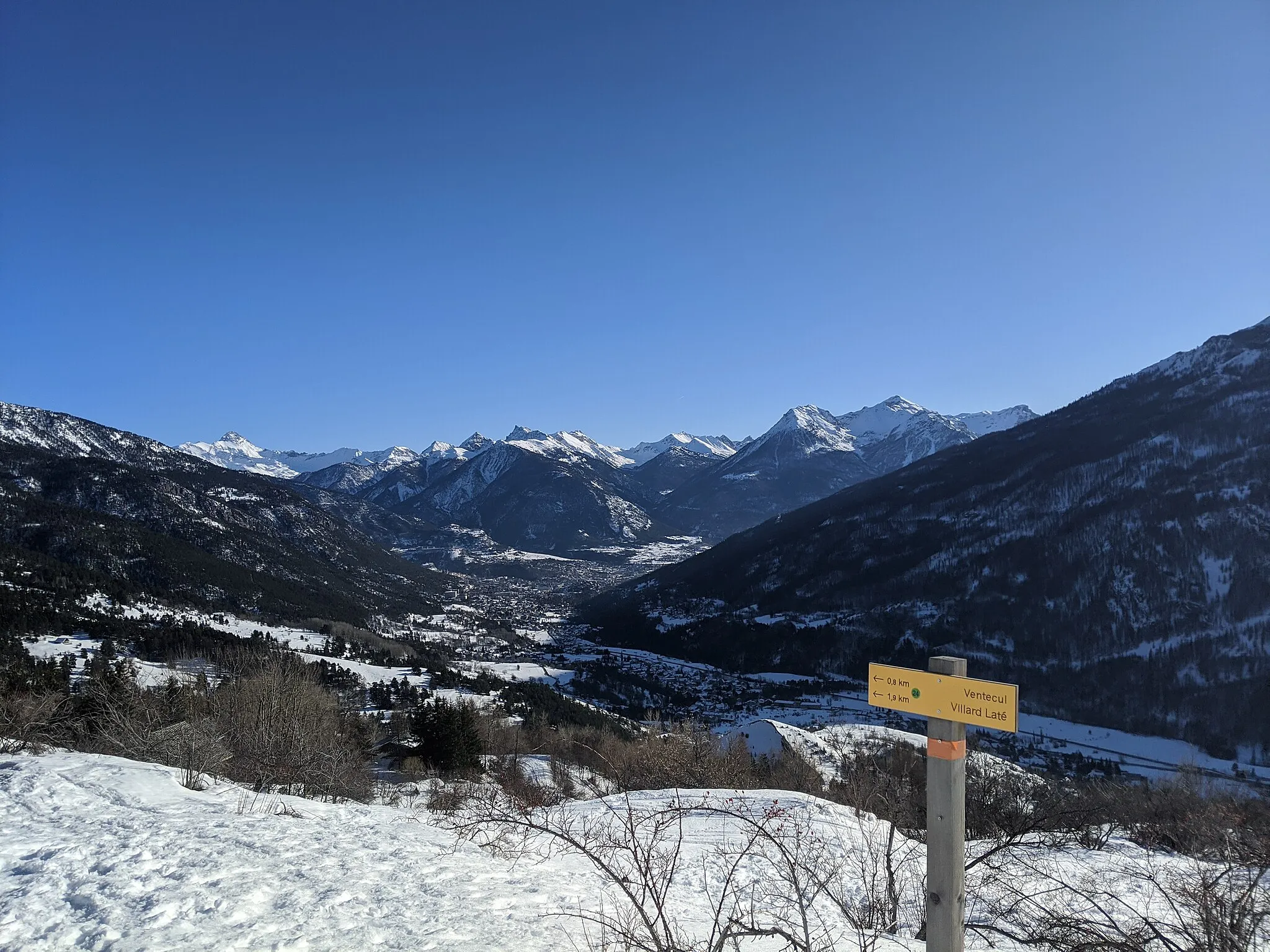
Col de l'Échelle1762 mBergpassCol de l'Échelle bietet spektakuläre Ausblicke auf die Umgebung.
35 km
35 km
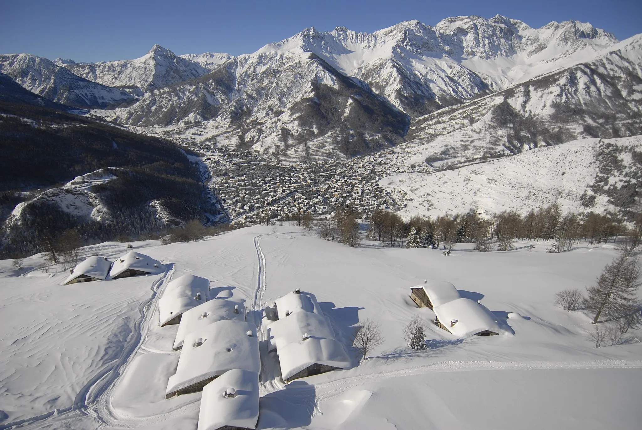
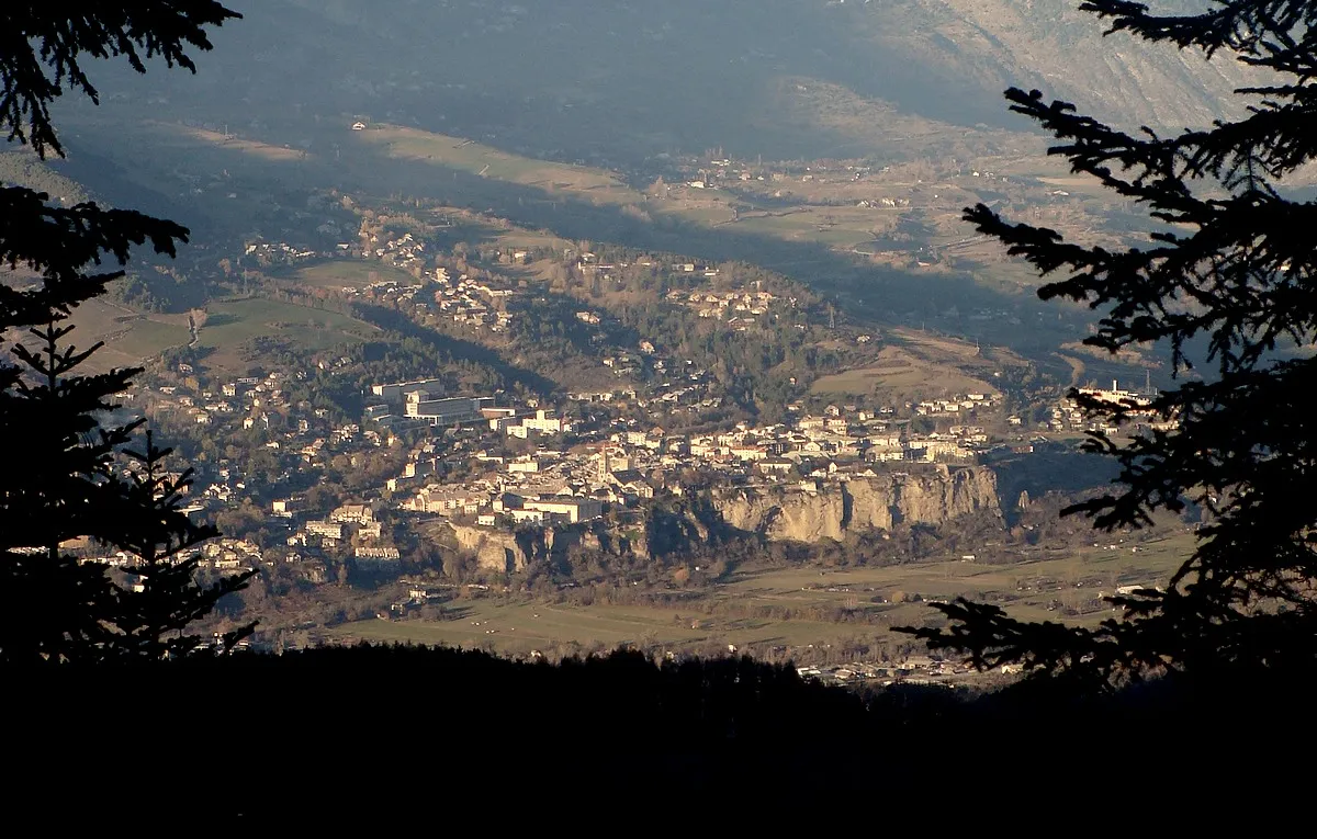
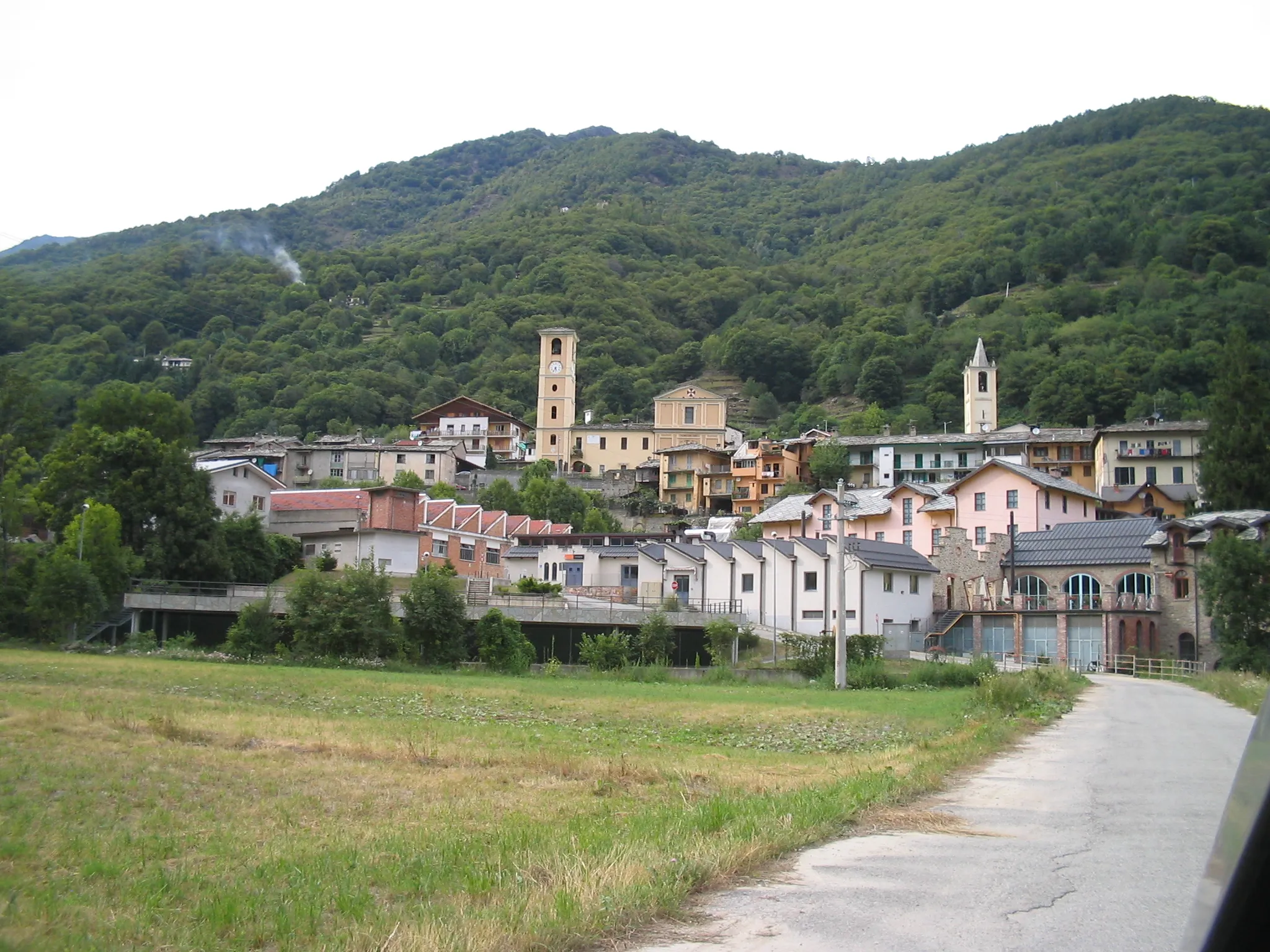
BardonecchiaDorfBardonecchia ist eine interessante Stadt nahe der Grenze zu Frankreich.
36 km
36 km
Chateaux1419 mGipfelChateaux ist ein malerisches Dorf mit historischem Charme.
46 km
46 km
Roche Mayor1268 mGipfelRoche Mayor ist ein natürlicher Felsvorsprung mit beeindruckender Geologie.
53 km
53 km
AmazasWeilerAmazas ist ein ruhiges Dorf entlang der Route.
61 km
61 km
Cesana TorineseDorfCesana Torinese ist das Ziel und bietet tolle Möglichkeiten zur Entspannung und Erholung.
69 km
69 km
Col de Montgenèvre1850 mBergpassCol de Montgenèvre ist ein herausfordernder Anstieg mit spektakulärer Aussicht.
77 km
77 km
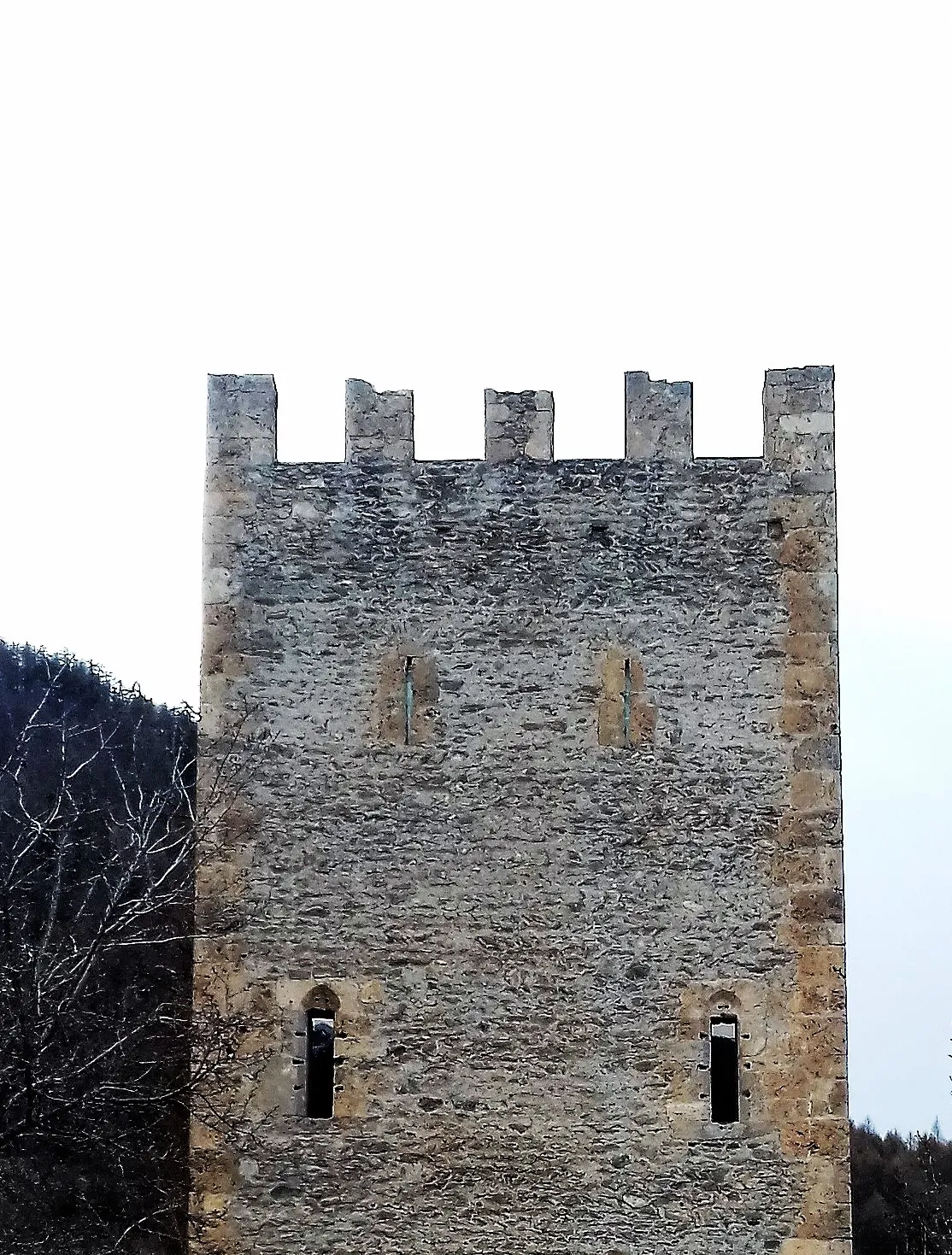
Fort des SalettesSchlossFort des Salettes ist eine historische Sehenswürdigkeit entlang der Strecke.
79 km
79 km
Ziel: Briançon City centerBriançon: Eldorado für Bergfahrer und Tourenrennen
Radwege von Briancon:
Kleine Rundtour von Briançon nach Fort des Têtes Rundtour von Briançon nach Col d'Izoard Gravel-Abenteuer nach Fort des Salettes Gravel-Abenteuer von Briançon nach Cesana Torinese Gemütliche Radtour nach Puy-Saint-André Bergstraße zum Col d'Izoard Gravel-Erkundung von Montgenèvre Abenteuerliche Gravel-Tour von Briançon nach Oulx Entdecken Sie die Natur: Gravel-Tour von Briançon nach Montgenèvre Bergstraße nach Les Chalps
In der Nähe befinden sich Fahrradrouten: