Rundtour von Briançon nach Col d'Izoard
Eine road-Radroute, die von Briancon aus startet.
Eine atemberaubende Route mit dem Highlight Col d'Izoard
Karte
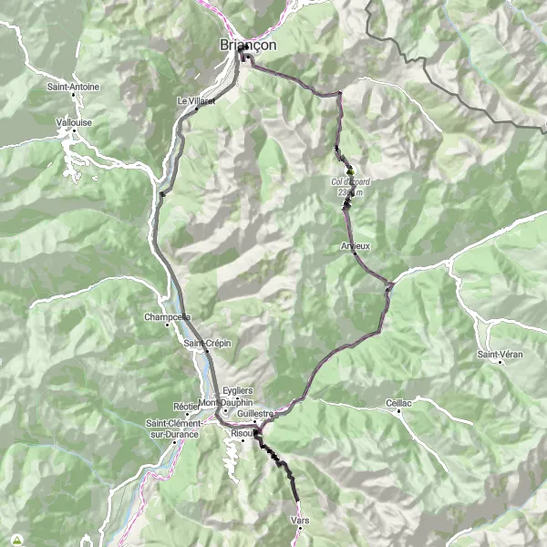
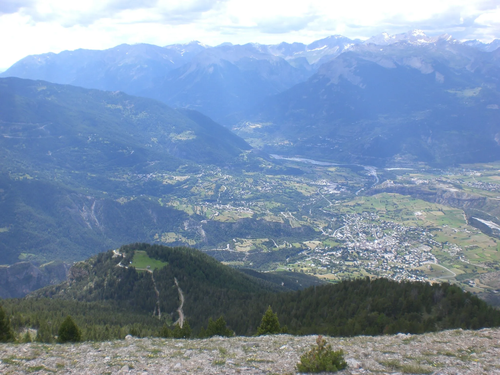
Diese 106 km lange Radtour mit insgesamt 3132 Höhenmetern bietet eine spektakuläre Aussicht auf den Col d'Izoard. Unterwegs passieren Sie das Fort du Randouillet und die Maison du Roy. Ein absolutes Muss für Radfahrer, die die Schönheit der Natur erleben wollen.
road
106 km
3132 m
Schwierig
Streckenprofil
Höhepunkte auf der Strecke
0 km
0 km
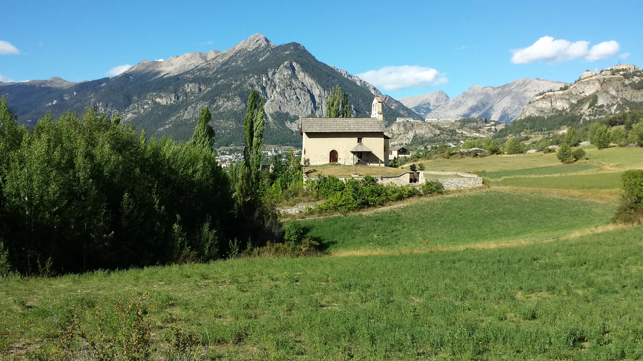
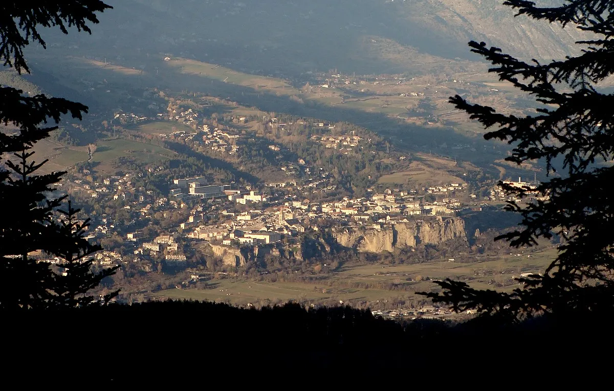
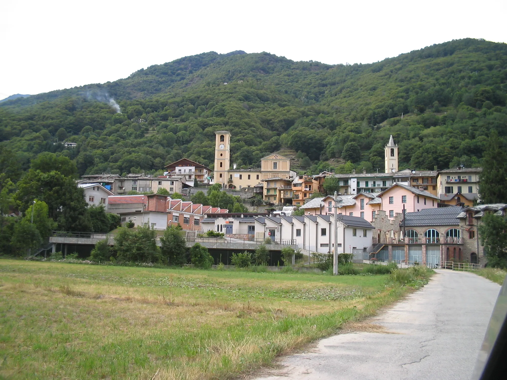
Start: Briançon City centerBriançon: Eldorado für Bergfahrer und Tourenrennen
Briançon ist eine Stadt in den französischen Alpen und ein Paradies für Bergradfahrer. Die Gegend bietet einige der bekanntesten Pässe der Tour de France, wie den Col du Galibier und den Col d'Izoard, die passionierte Radfahrer herausfordern.3 km
3 km
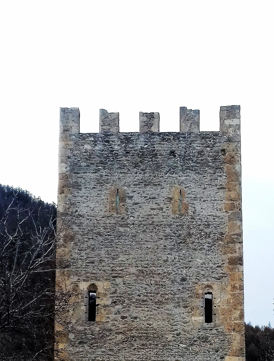
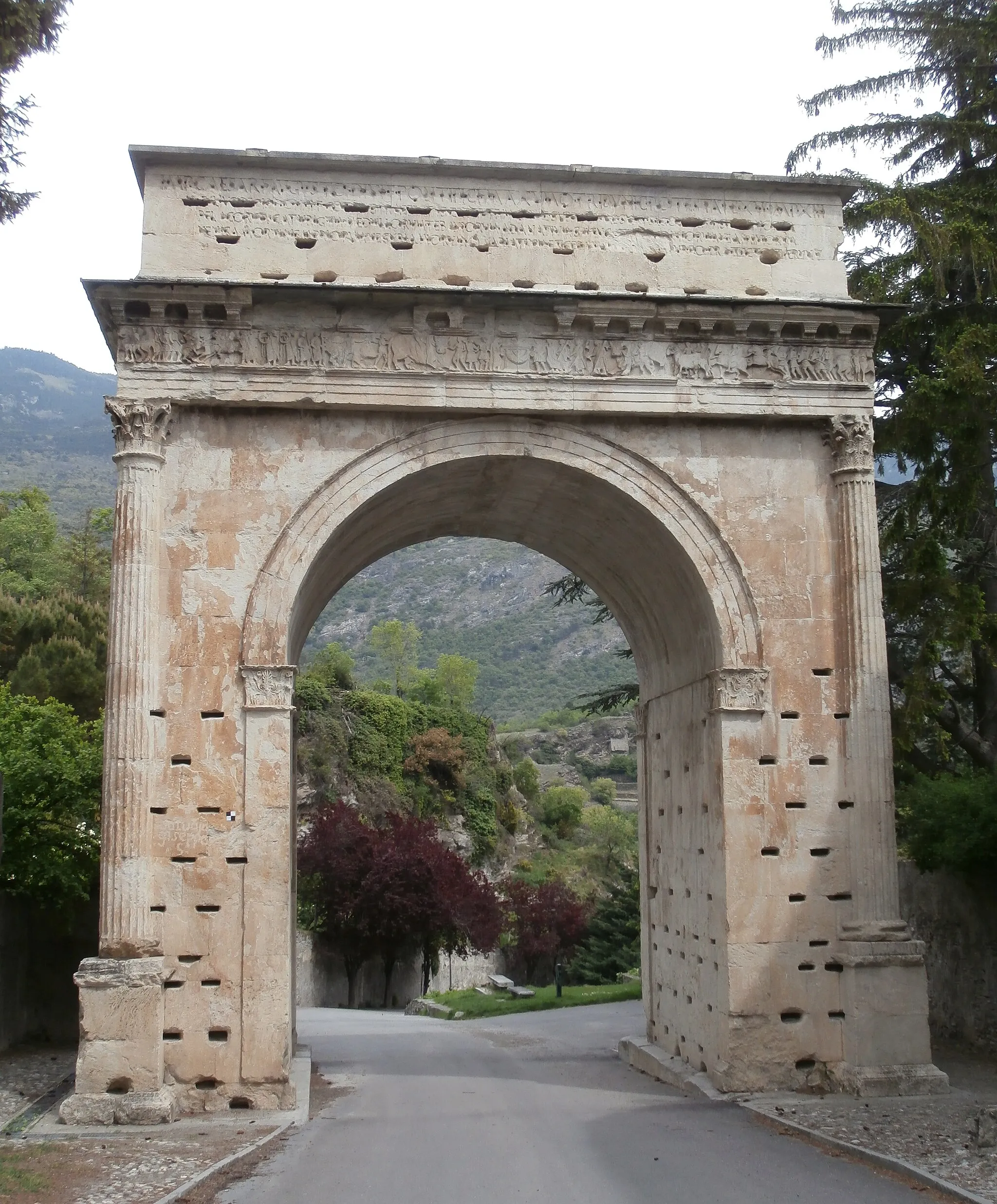
Fort du RandouilletSchlossDas Fort du Randouillet bietet einen historischen Einblick in die Region.
12 km
12 km
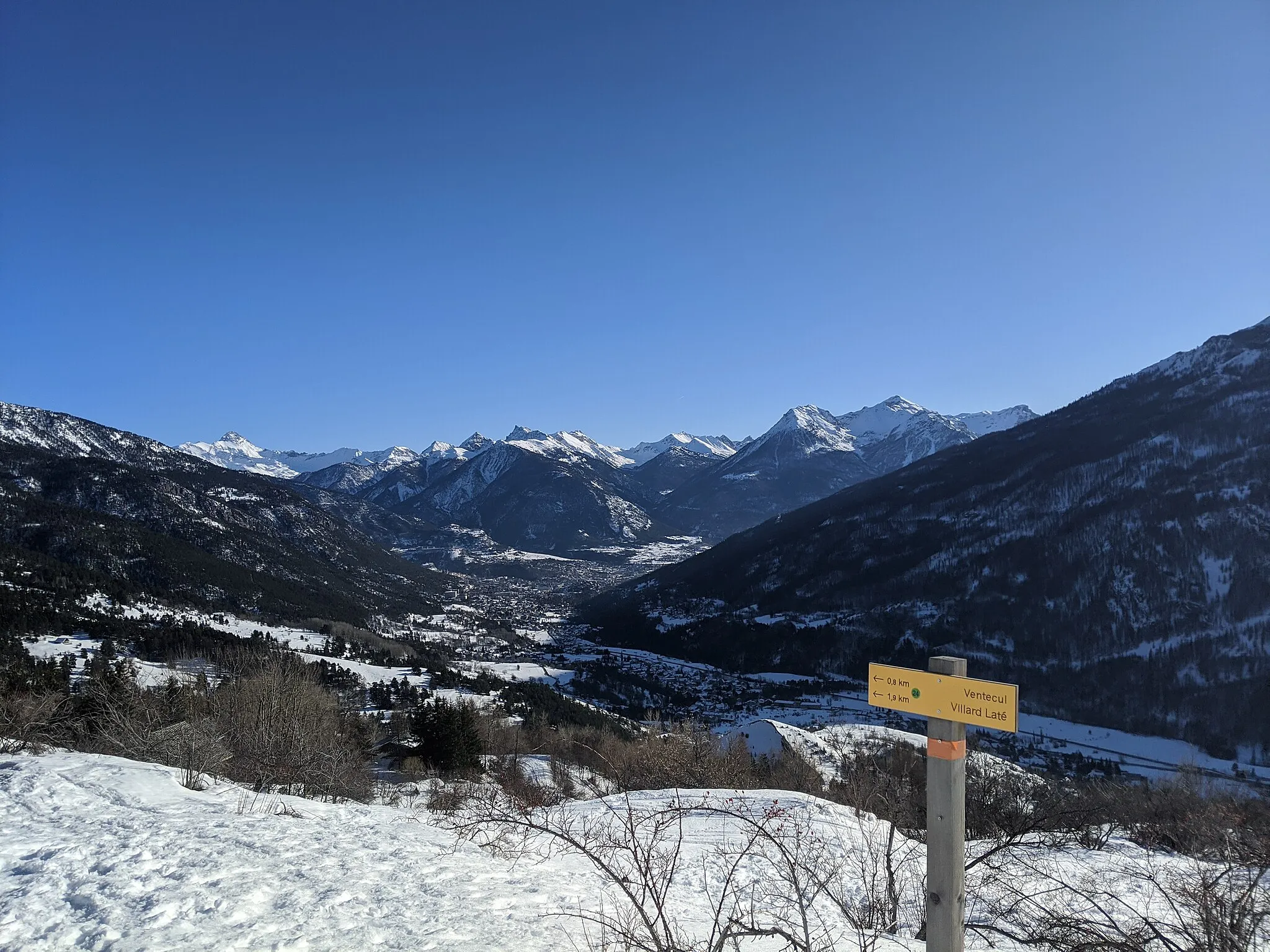
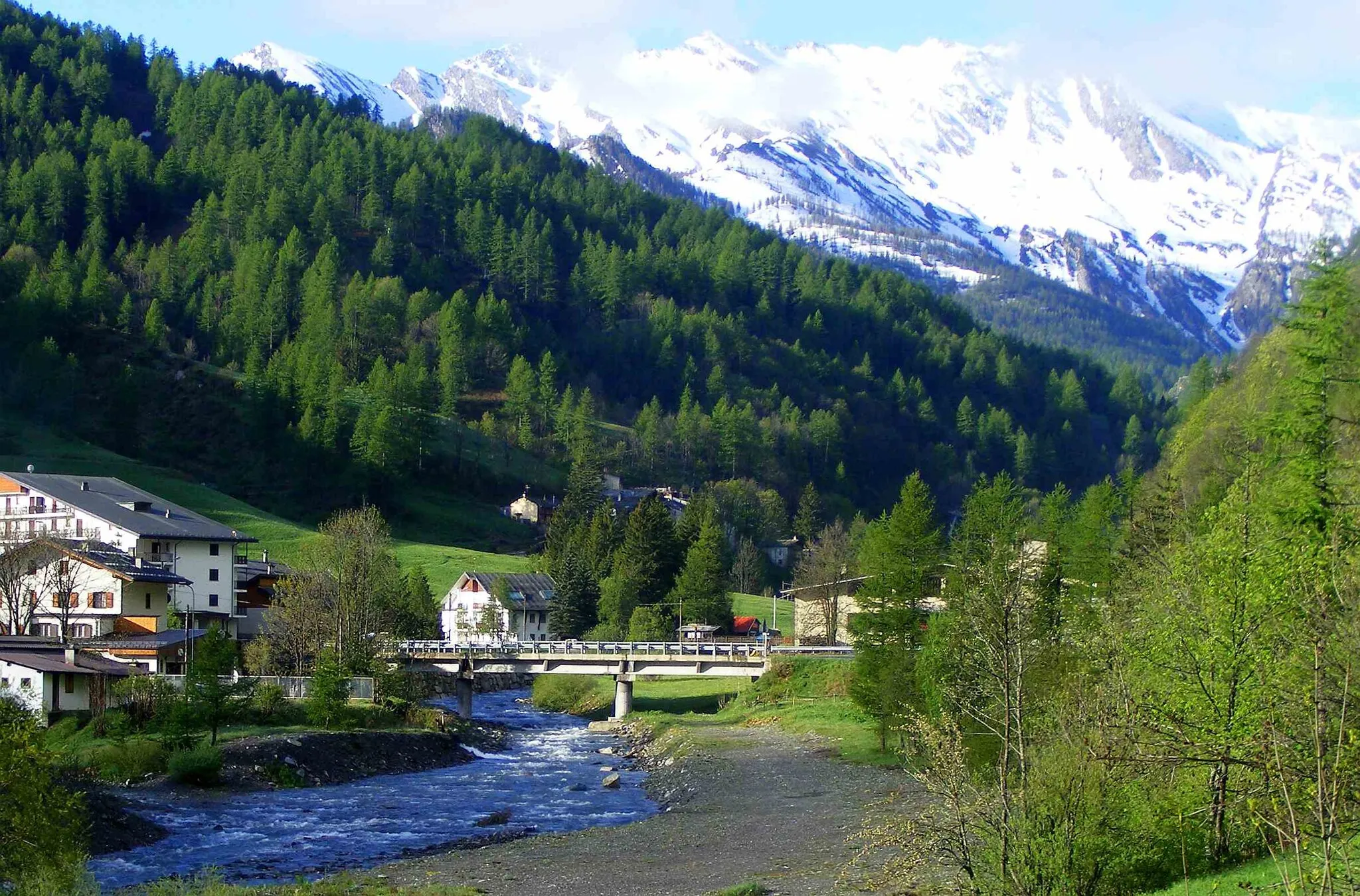
Le LausWeilerLe Laus ist ein malerisches Dorf, das die Geschichte der Gegend widerspiegelt.
20 km
20 km
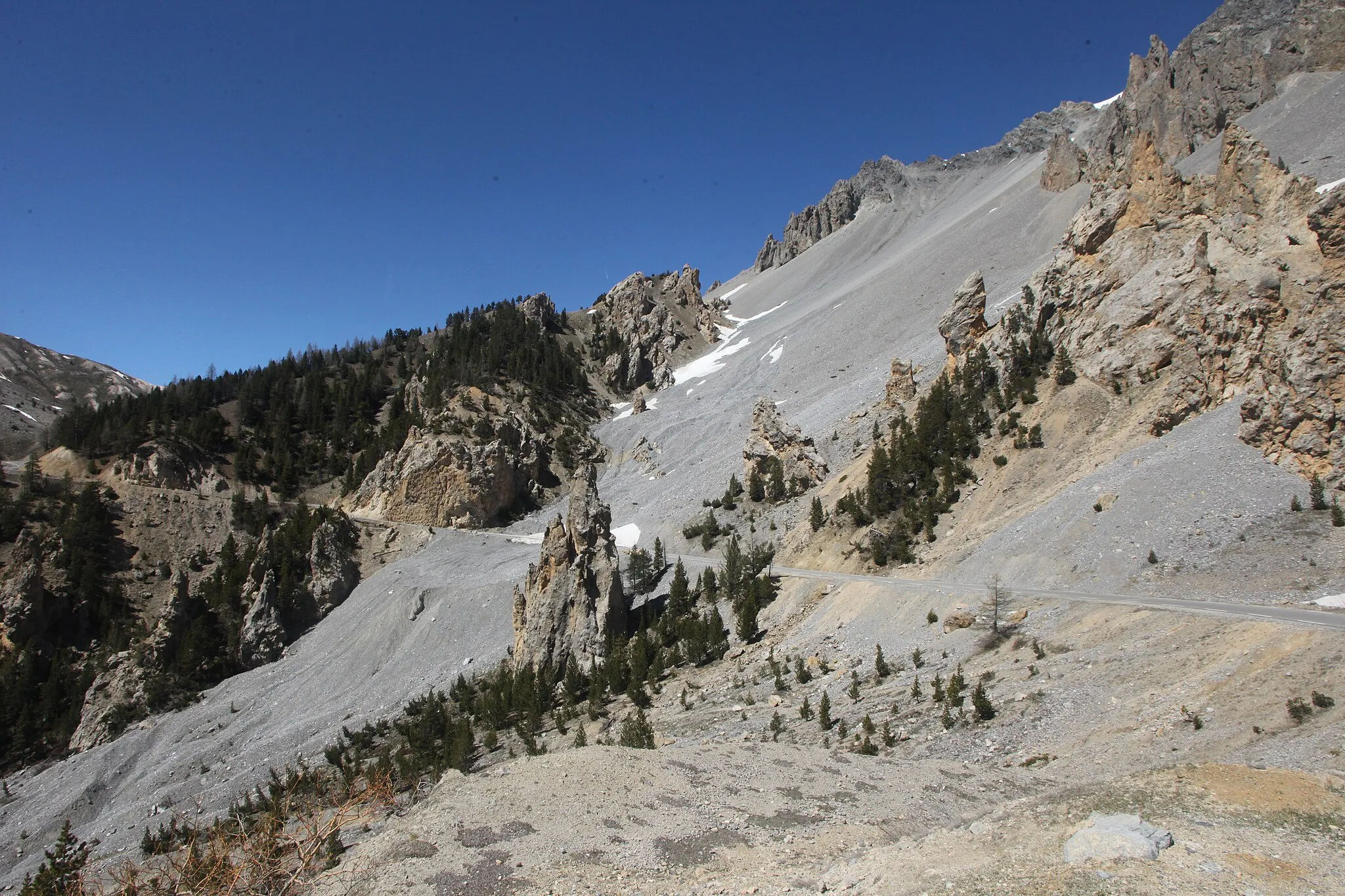
Col d'Izoard2360 mBergpassDer Col d'Izoard bietet atemberaubende Ausblicke auf die umliegenden Berge.
30 km
30 km
ArvieuxDorfArvieux ist ein charmantes Dorf, das als perfekte Raststätte dient.
35 km
35 km
L'Ange Gardien1496 mGipfelL'Ange Gardien ist ein idyllischer Ort für eine Pause.
46 km
46 km
Maison du RoyWeilerDie Maison du Roy ist ein historisches Gebäude mit interessanter Architektur.
48 km
48 km
Rocher de l'Aigle1510 mGipfelRocher de l'Aigle bietet eine spektakuläre Aussicht auf die Landschaft.
72 km
72 km
RisoulDorfRisoul ist eine malerische Stadt am Rande der Route.
96 km
96 km
Saint-Martin-de-QueyrièresDorfSaint-Martin-de-Queyrières ist ein hübsches Dorf entlang des Weges.
106 km
106 km
Ziel: Briançon City centerBriançon: Eldorado für Bergfahrer und Tourenrennen
Radwege von Briancon:
Kleine Rundtour von Briançon nach Fort des Têtes Rundtour von Briançon nach Col d'Izoard Gravel-Abenteuer nach Fort des Salettes Gravel-Abenteuer von Briançon nach Cesana Torinese Gemütliche Radtour nach Puy-Saint-André Bergstraße zum Col d'Izoard Gravel-Erkundung von Montgenèvre Abenteuerliche Gravel-Tour von Briançon nach Oulx Entdecken Sie die Natur: Gravel-Tour von Briançon nach Montgenèvre Bergstraße nach Les Chalps
In der Nähe befinden sich Fahrradrouten: