Abenteuerroute durch La Tania und Bozel
Eine gravel-Radroute, die von Val Thorens aus startet.
Eine spannende Fahrt durch die französischen Alpen
Karte
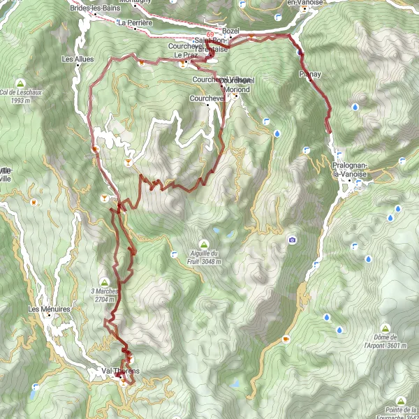
Diese 83 km lange Gravelstrecke führt Sie durch die malerischen Ortschaften La Tania und Bozel. Erleben Sie herausfordernde Anstiege und spektakuläre Ausblicke auf Ihrem Weg durch die Berglandschaft.
gravel
83 km
4292 m
Wild
Streckenprofil
Höhepunkte auf der Strecke
0 km
0 km
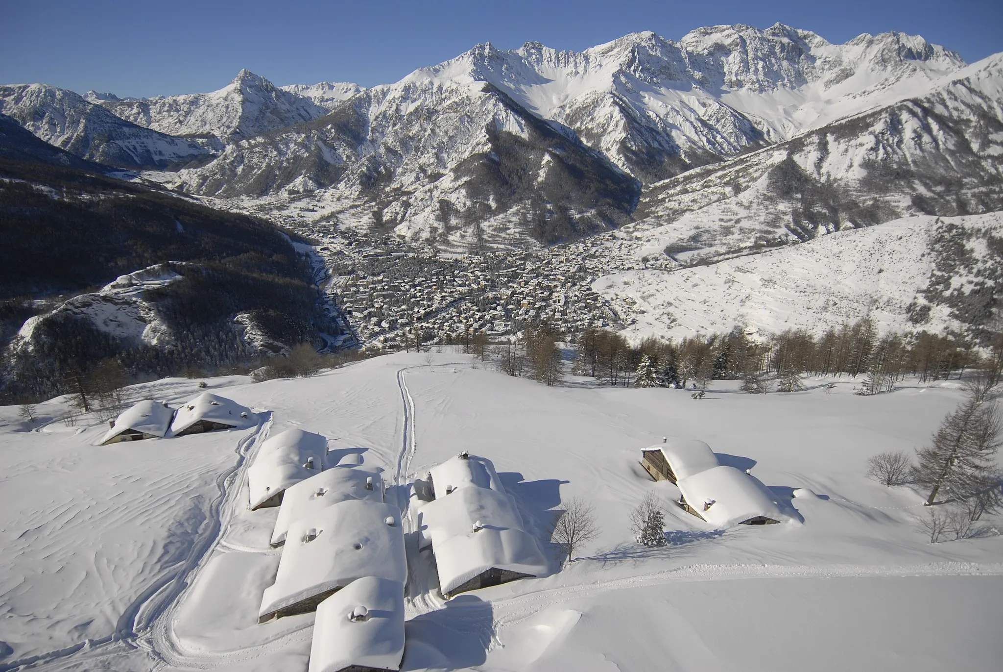
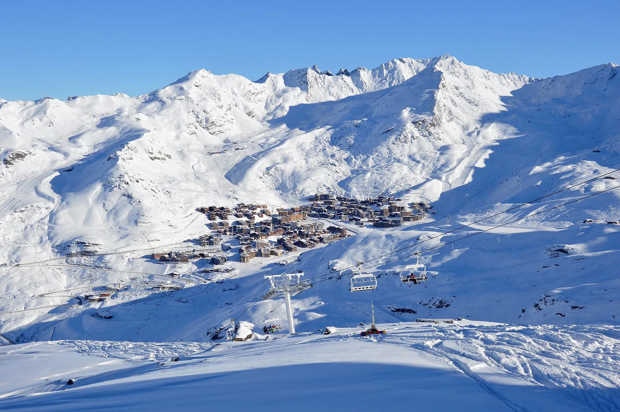
Start: Val Thorens Village centerVal Thorens: Alpine Herausforderungen im Sommer - perfekt für Bergfahrer.
Val Thorens ist ein bekanntes Skigebiet, das im Sommer auch für Radsportler attraktiv ist. Die Bergstraßen rund um Val Thorens bieten herausfordernde Anstiege und atemberaubende Ausblicke.3 km
3 km
Les ChardonsPicknickplatzGenießen Sie die Herausforderung des Anstiegs zu Les Chardons.
22 km
22 km
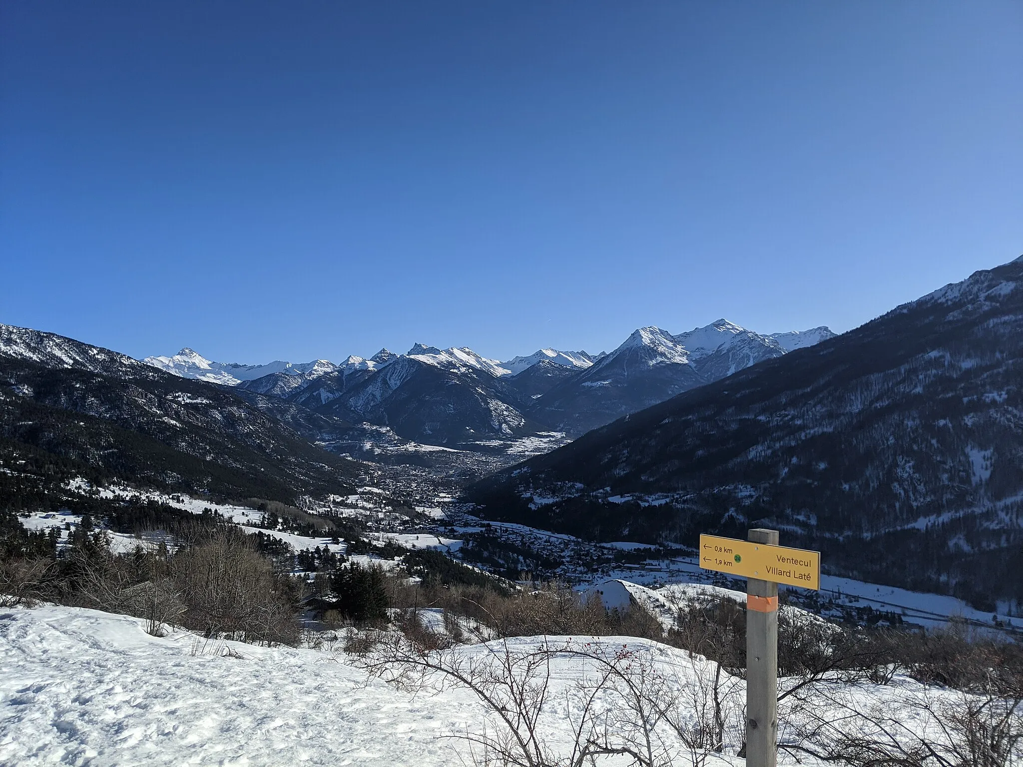
La TaniaWeilerErkunden Sie das idyllische La Tania.
47 km
47 km
BozelDorfTauchen Sie ein in die Natur von Bozel.
54 km
54 km
CourchevelDorfBesuchen Sie das malerische Courchevel.
63 km
63 km
Saulire2738 mGipfelErklimmen Sie den Saulire und genießen Sie den Ausblick.
74 km
74 km
3 Marches2704 mGipfelErklimmen Sie die 3 Marches mit einem spektakulären Panoramablick.
83 km
83 km
Val ThorensDorfErreichen Sie Ihr Ziel in Val Thorens und entspannen Sie sich.
83 km
83 km
Ziel: Val Thorens Village centerVal Thorens: Alpine Herausforderungen im Sommer - perfekt für Bergfahrer.
Radwege von Val Thorens:
Panoramastraßen durch Savoyen Gravel Route durch Les Ménuires und Villarlurin Panoramastraße durch Saint-Laurent-de-la-Côte und Les Bruyères Abenteuerliche Schotterwege Wildnis und Abenteuer Gravelabenteuer von Val Thorens nach Courchevel Moriond Abenteuerroute durch La Tania und Bozel Herausfordernde Alpenstraßen Herausforderung in den Bergen Erkundungstour von Les Ménuires nach Val Thorens
In der Nähe befinden sich Fahrradrouten: