55 km Tour mit 961 m Steigung
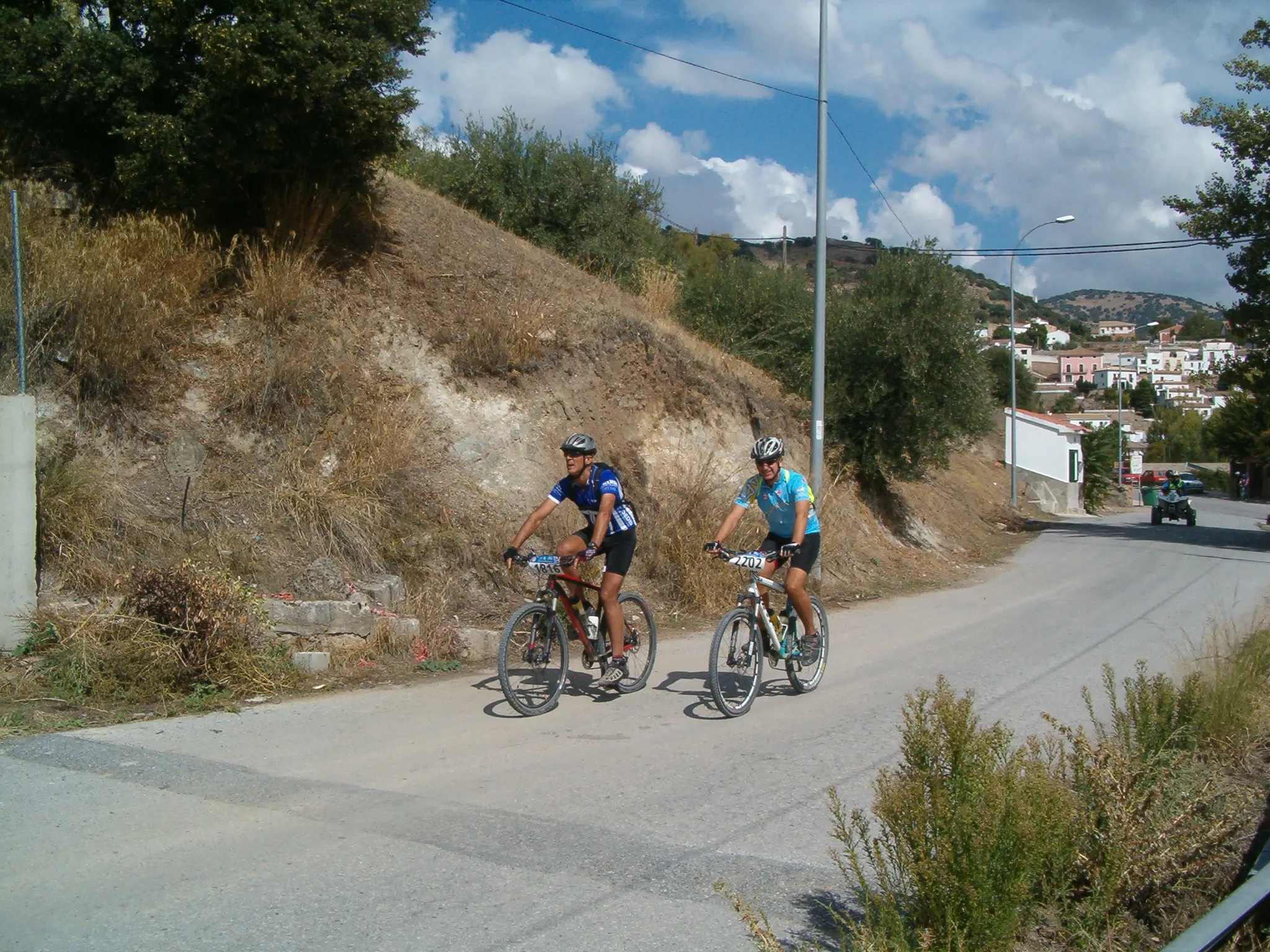
Eine road-Radroute, die von Alcalá la Real aus startet.
Eine abwechslungsreiche Strecke durch malerische Landschaften.
Karte
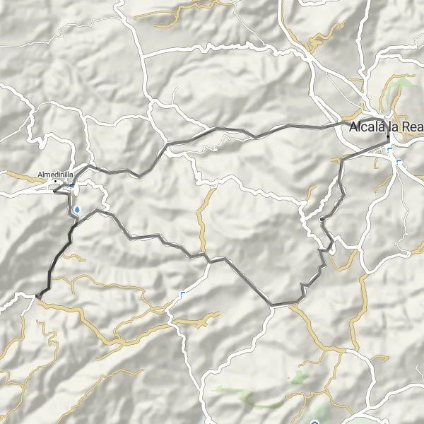
Genießen Sie auf dieser 55 km langen Tour mit 961 m Steigung die Schönheit von La Fuente Grande und den Mirador "Huertas-Isla". Besuchen Sie die Fortaleza de la Mota und den Mirador de Fátima und erleben Sie eine vielseitige Fahrt durch die Umgebung.
road
55 km
961 m
Entspannen
Streckenprofil
Höhepunkte auf der Strecke
0 km
0 km
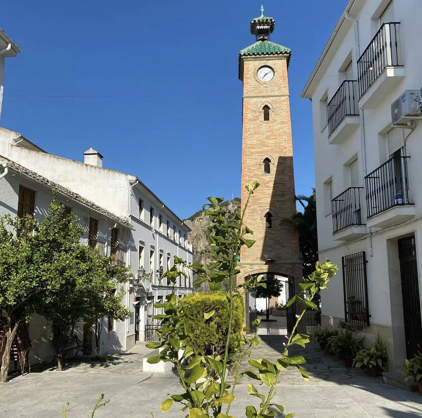
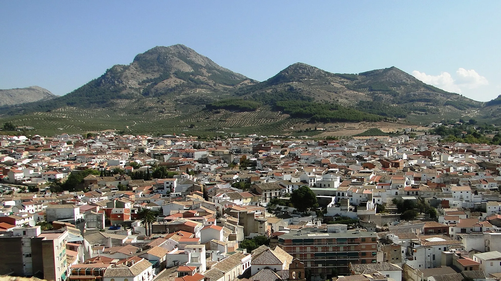
Start: Alcalá la Real City centerAlcalá la Real: Historische Sehenswürdigkeiten und anspruchsvolle Anstiege.
Alcalá la Real in Andalusien, Spanien, ist bekannt für seine mittelalterliche Burg und bietet interessante Anstiege für Radfahrer. Die Umgebung ist bergig und abwechslungsreich.32 km
32 km
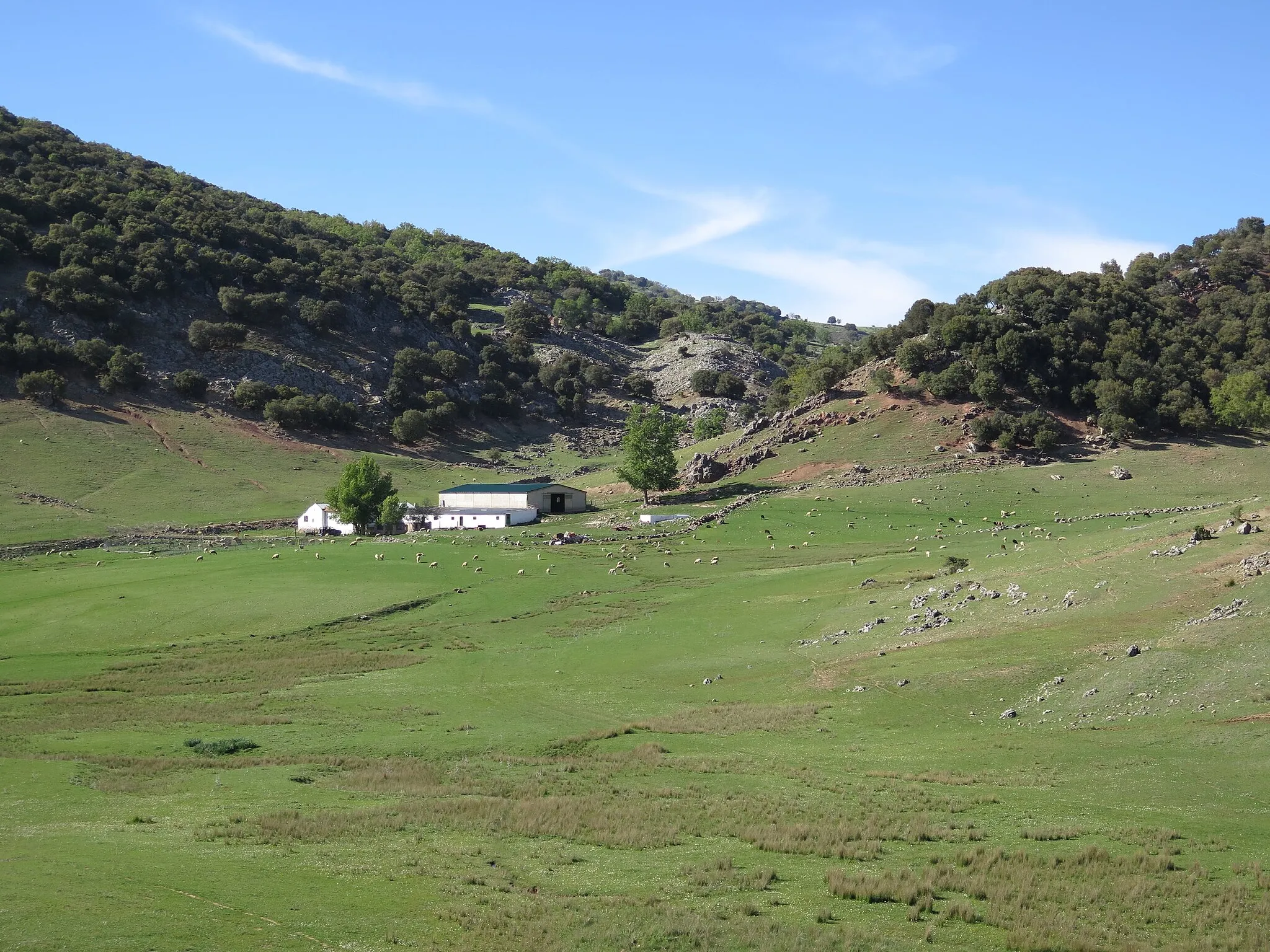
La Fuente GrandeWeilerErkunden Sie die beeindruckende La Fuente Grande.
38 km
38 km
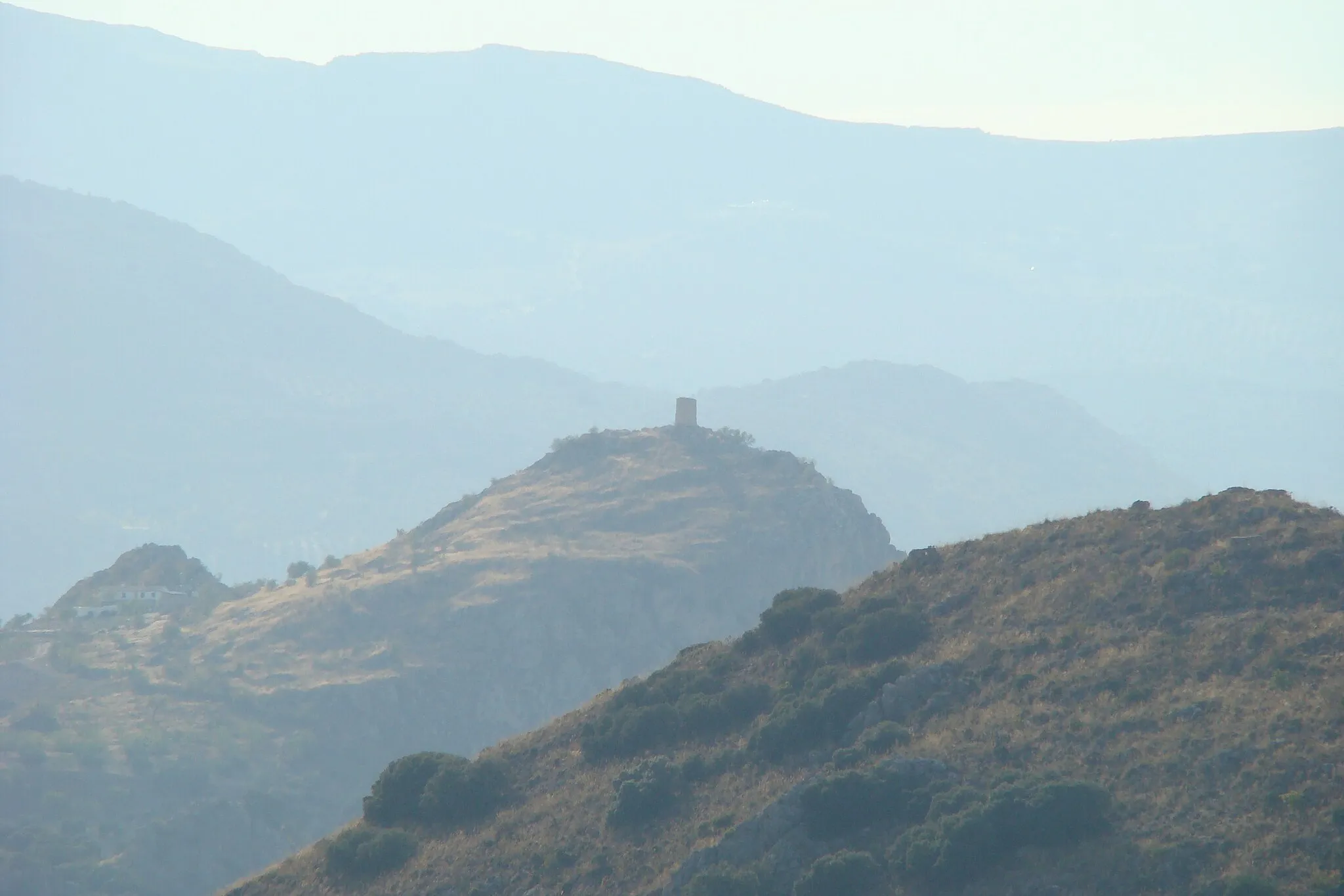
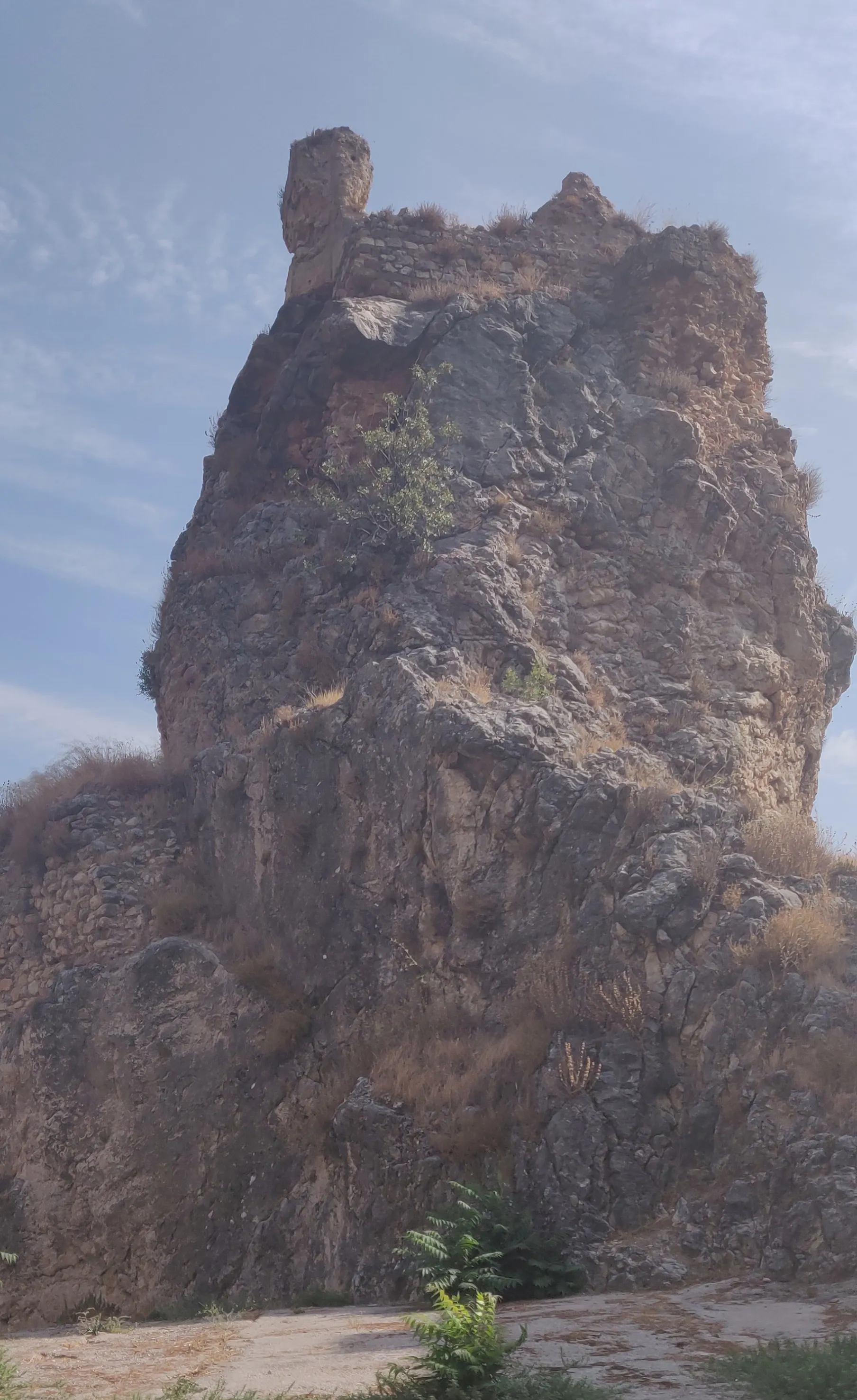
Mirador "Huertas-Isla"AussichtspunktGenießen Sie den Ausblick vom Mirador "Huertas-Isla".
54 km
54 km
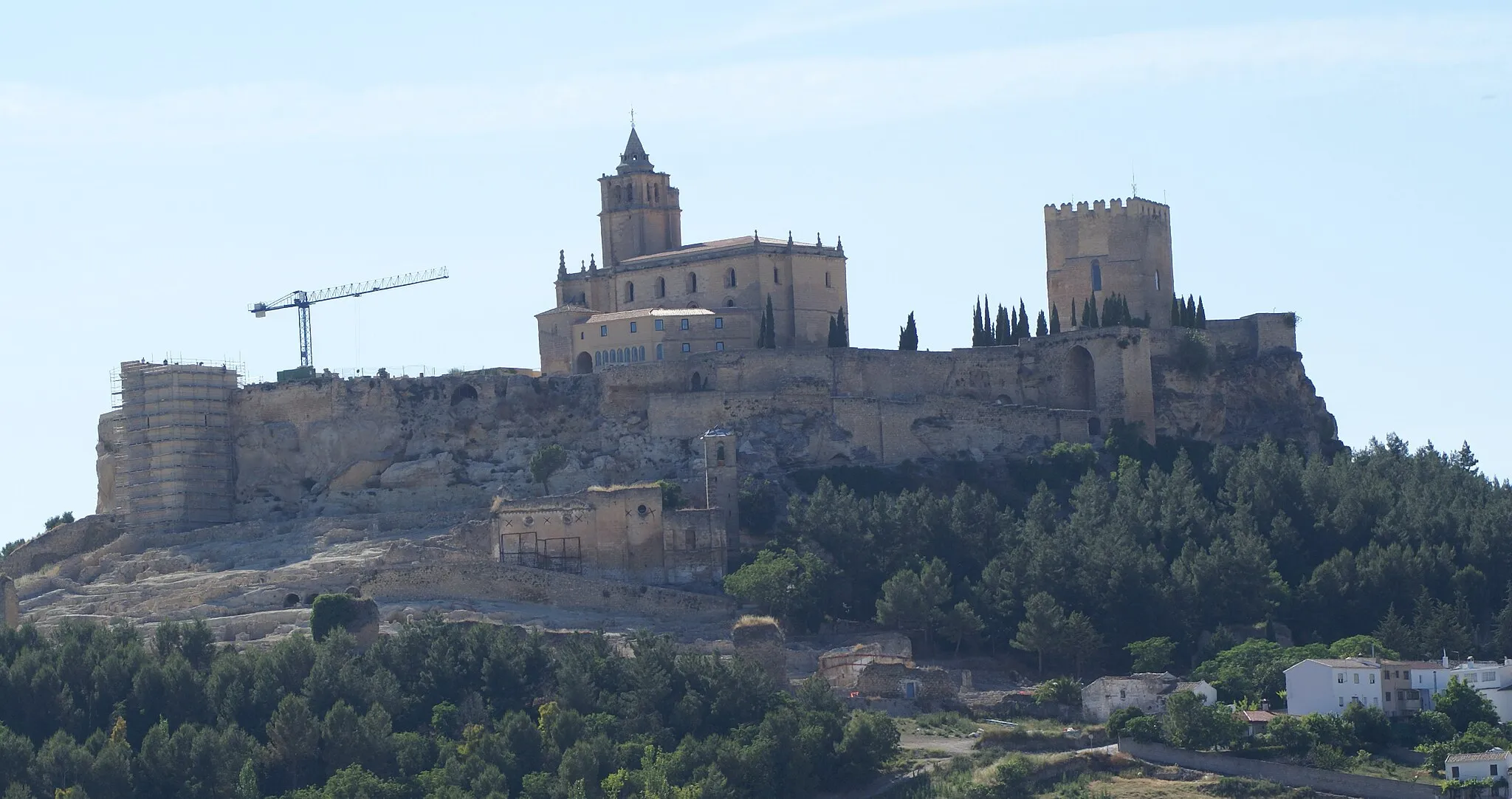
Fortaleza de la MotaSchlossBesichtigen Sie die historische Fortaleza de la Mota.
54 km
54 km
Mirador de FátimaAussichtspunktErleben Sie den Panoramablick vom Mirador de Fátima.
55 km
55 km
Ziel: Alcalá la Real City centerAlcalá la Real: Historische Sehenswürdigkeiten und anspruchsvolle Anstiege.
Radwege von Alcalá la Real:
Die Geschichte von Villeta Auf den Spuren von Frailes Rundtour über 74 km nach Alcalá la Real Abenteuerliche 100 km Tour mit 2337 m Steigung 84 km Gravel-Tour mit 1989 m Steigung Historische Burgentour 55 km Tour mit 961 m Steigung Almedinilla Entdeckungstour Gravelabenteuer El Solvito 67 km Rundtour mit 1131 m Steigung
In der Nähe befinden sich Fahrradrouten: