67 km Rundtour mit 1131 m Steigung
Eine road-Radroute, die von Alcalá la Real aus startet.
Erkunden Sie historische Stätten und malerische Landschaften.
Karte
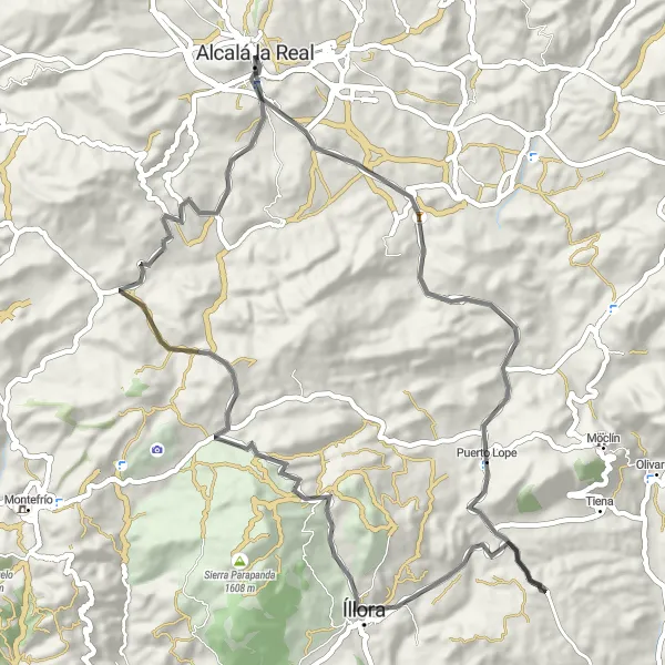
Auf dieser 67 km langen Route mit 1131 m Steigung erwarten Sie Highlights wie die Fortaleza de la Mota und der Mirador de Fátima. Entdecken Sie die Schönheit von Íllora und genießen Sie den Panoramablick.
road
67 km
1131 m
Schwierig
Streckenprofil
Höhepunkte auf der Strecke
0 km
0 km
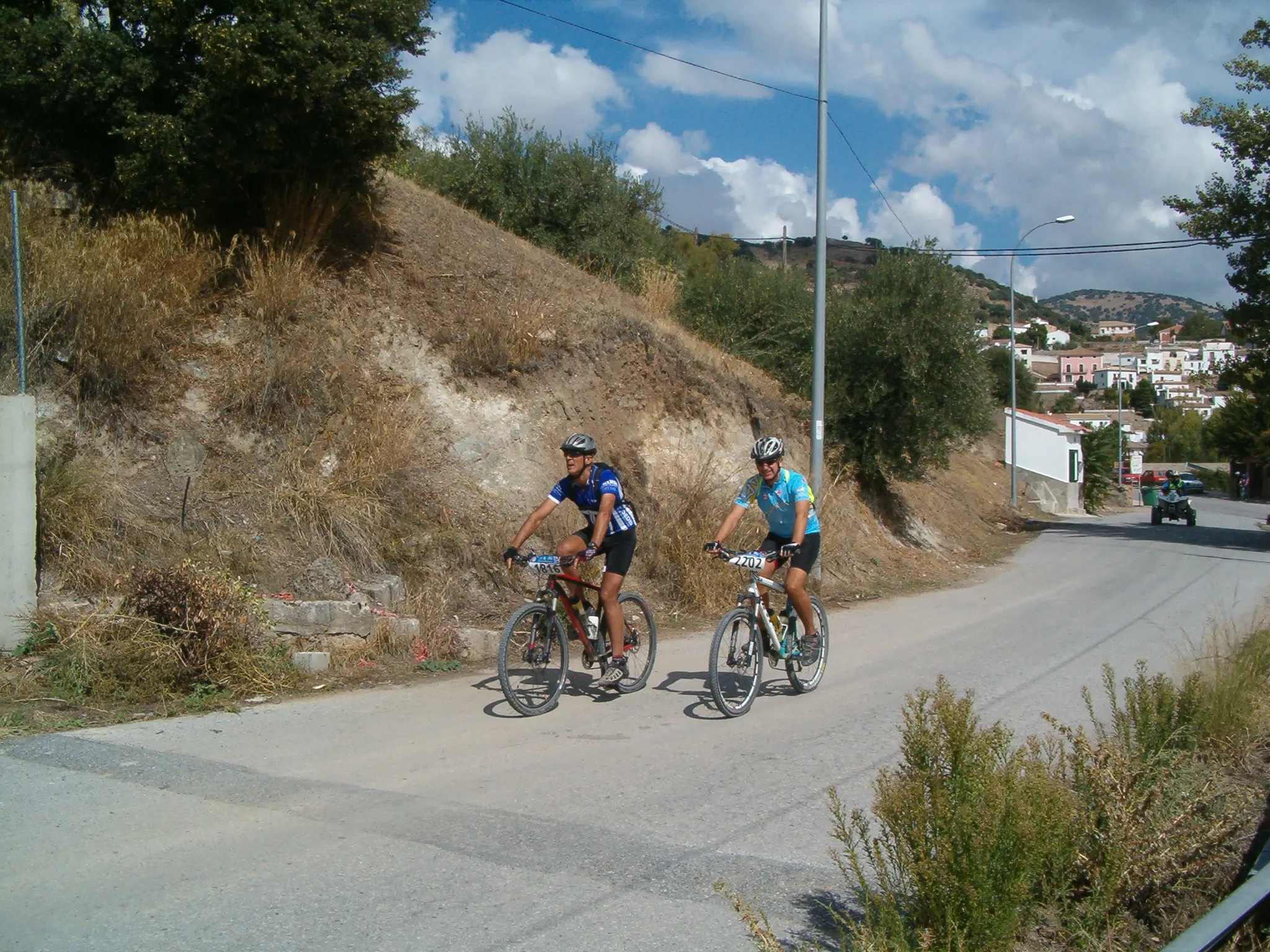
Start: Alcalá la Real City centerAlcalá la Real: Historische Sehenswürdigkeiten und anspruchsvolle Anstiege.
Alcalá la Real in Andalusien, Spanien, ist bekannt für seine mittelalterliche Burg und bietet interessante Anstiege für Radfahrer. Die Umgebung ist bergig und abwechslungsreich.0 km
0 km
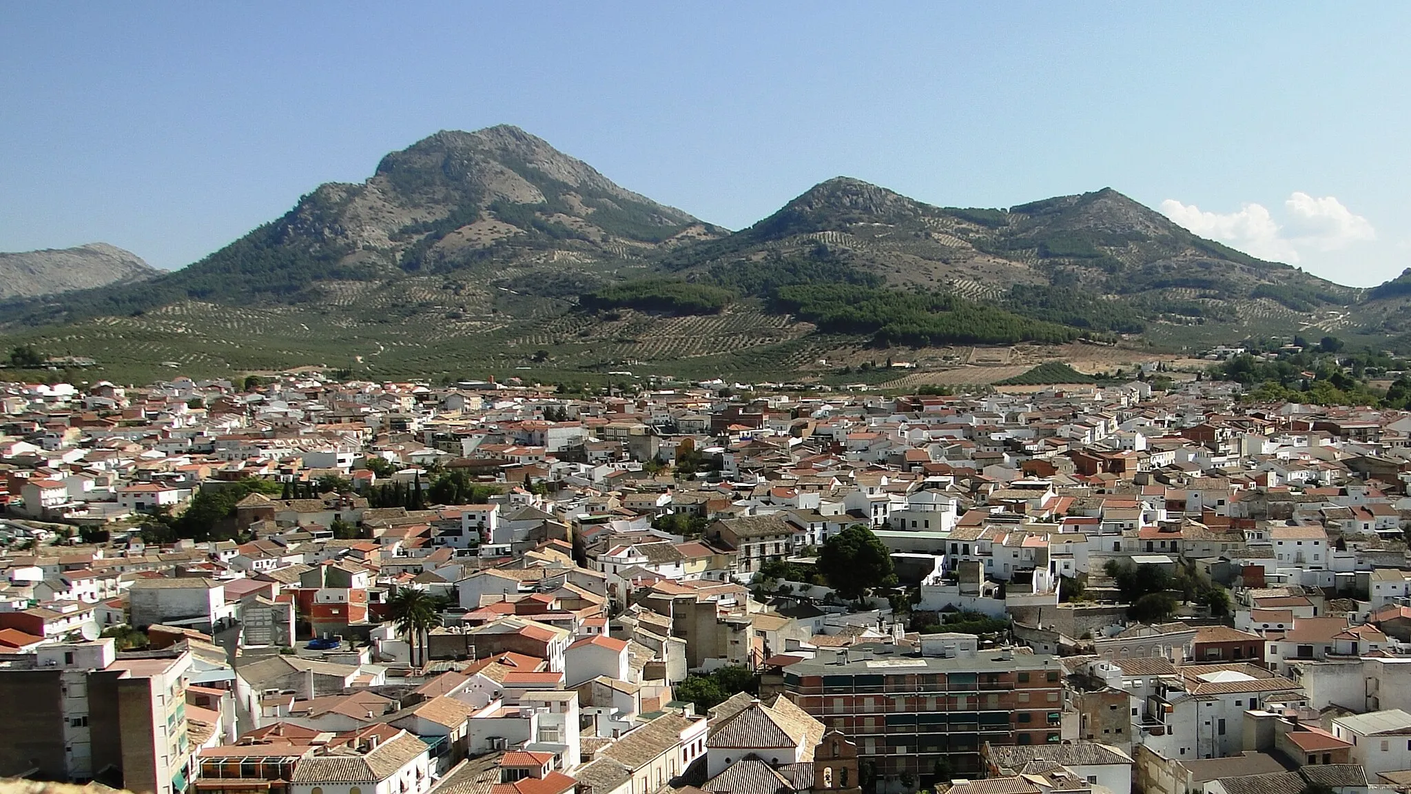
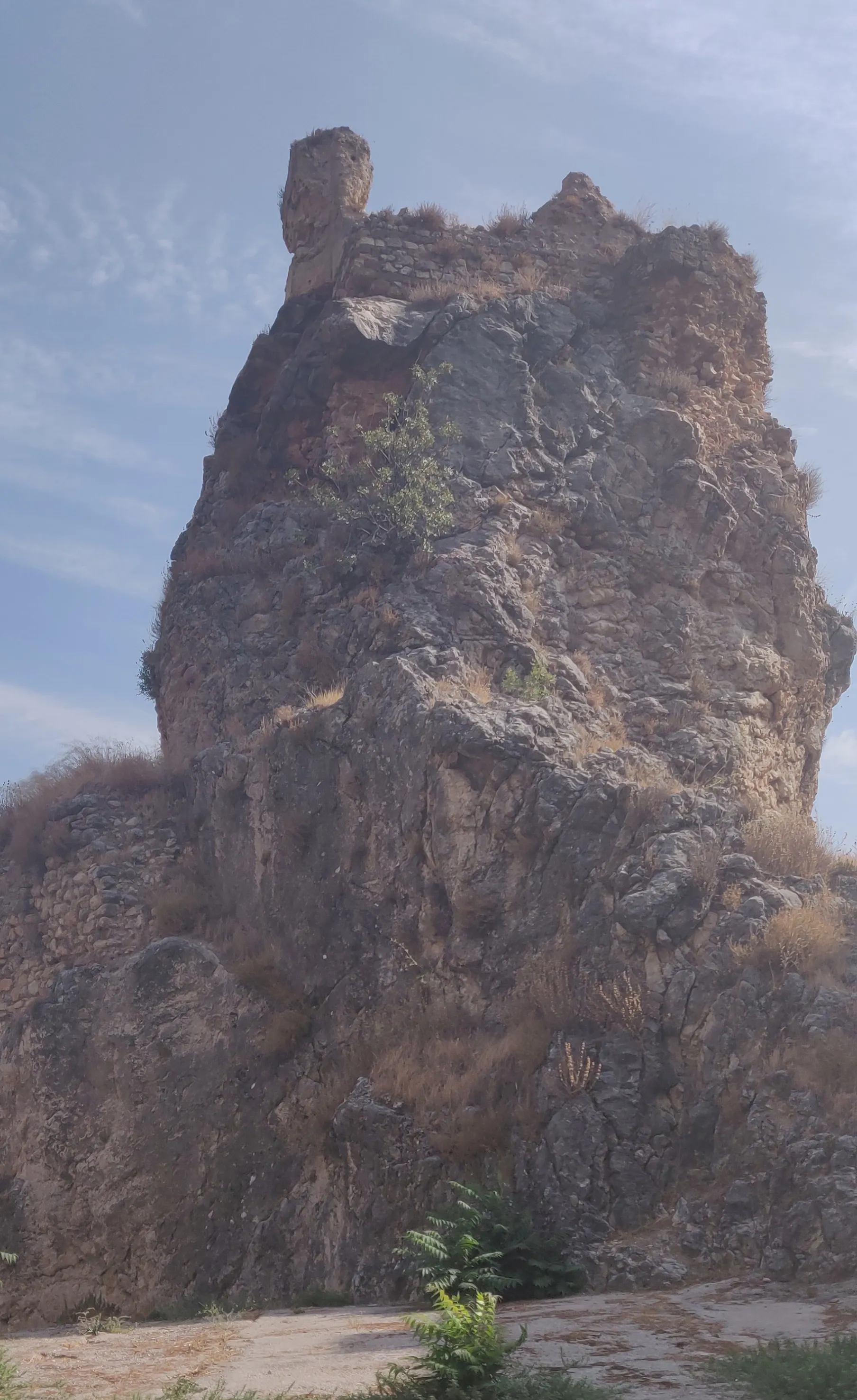
Fortaleza de la MotaSchlossBesichtigen Sie die imposante Fortaleza de la Mota.
17 km
17 km
Cerro de Mingoandrés994 mGipfelErklimmen Sie den Cerro de Mingoandrés.
20 km
20 km
Puerto LopeDorfBesuchen Sie das malerische Puerto Lope.
35 km
35 km
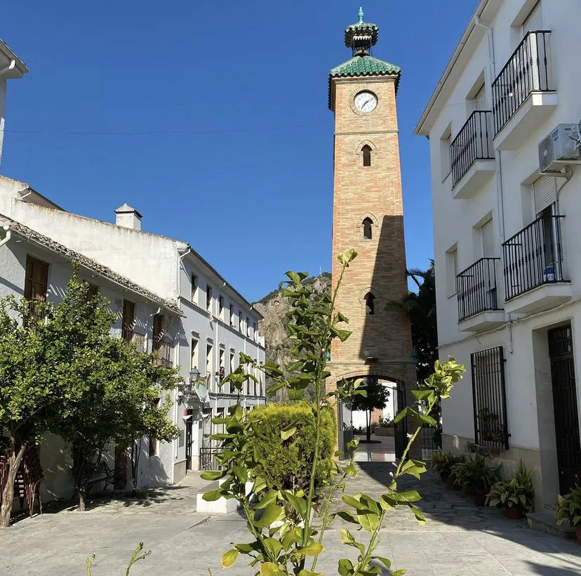
ÍlloraStadtErkunden Sie die historischen Sehenswürdigkeiten von Íllora.
67 km
67 km
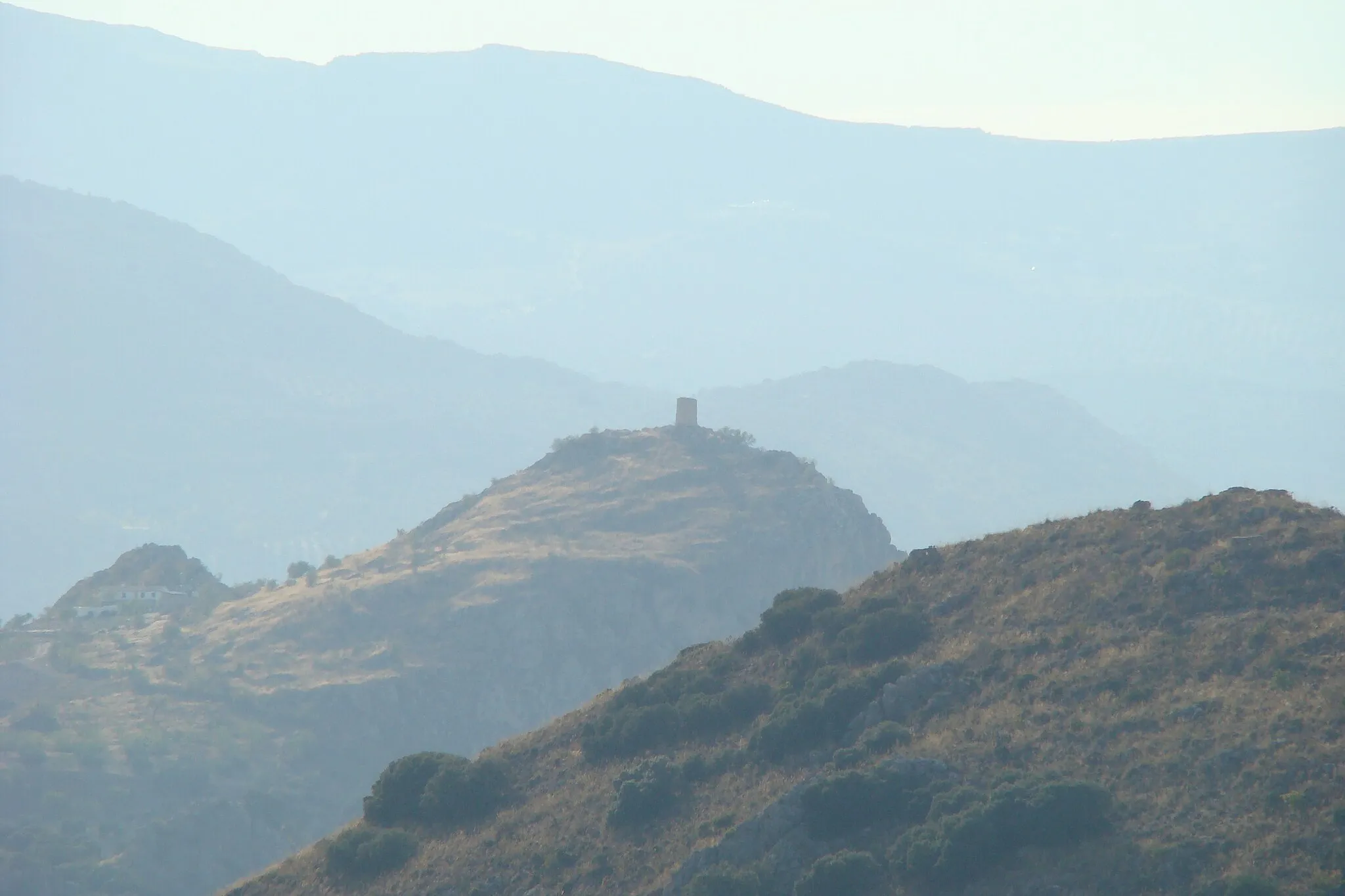
Mirador de FátimaAussichtspunktGenießen Sie den Ausblick vom Mirador de Fátima.
67 km
67 km
Ziel: Alcalá la Real City centerAlcalá la Real: Historische Sehenswürdigkeiten und anspruchsvolle Anstiege.
Radwege von Alcalá la Real:
Die Geschichte von Villeta Auf den Spuren von Frailes Rundtour über 74 km nach Alcalá la Real Abenteuerliche 100 km Tour mit 2337 m Steigung 84 km Gravel-Tour mit 1989 m Steigung Historische Burgentour 55 km Tour mit 961 m Steigung Almedinilla Entdeckungstour Gravelabenteuer El Solvito 67 km Rundtour mit 1131 m Steigung
In der Nähe befinden sich Fahrradrouten: