Entdeckungstour auf dem Gravel-Bike
Eine gravel-Radroute, die von Colindres aus startet.
Eine erlebnisreiche 41 km lange Gravel-Tour für Abenteuerliebhaber in der Nähe von Colindres.
Karte
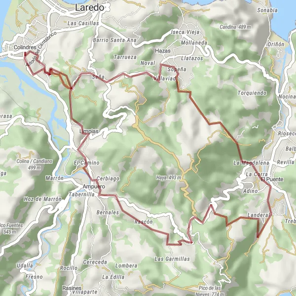
Erkunden Sie die natürliche Schönheit von Monte La Tejera, Seña, La Magdalena und Hoyo Mena und genießen Sie die malerischen Ausblicke entlang des Weges.
gravel
41 km
1250 m
Entspannen
Streckenprofil
Höhepunkte auf der Strecke
0 km
0 km
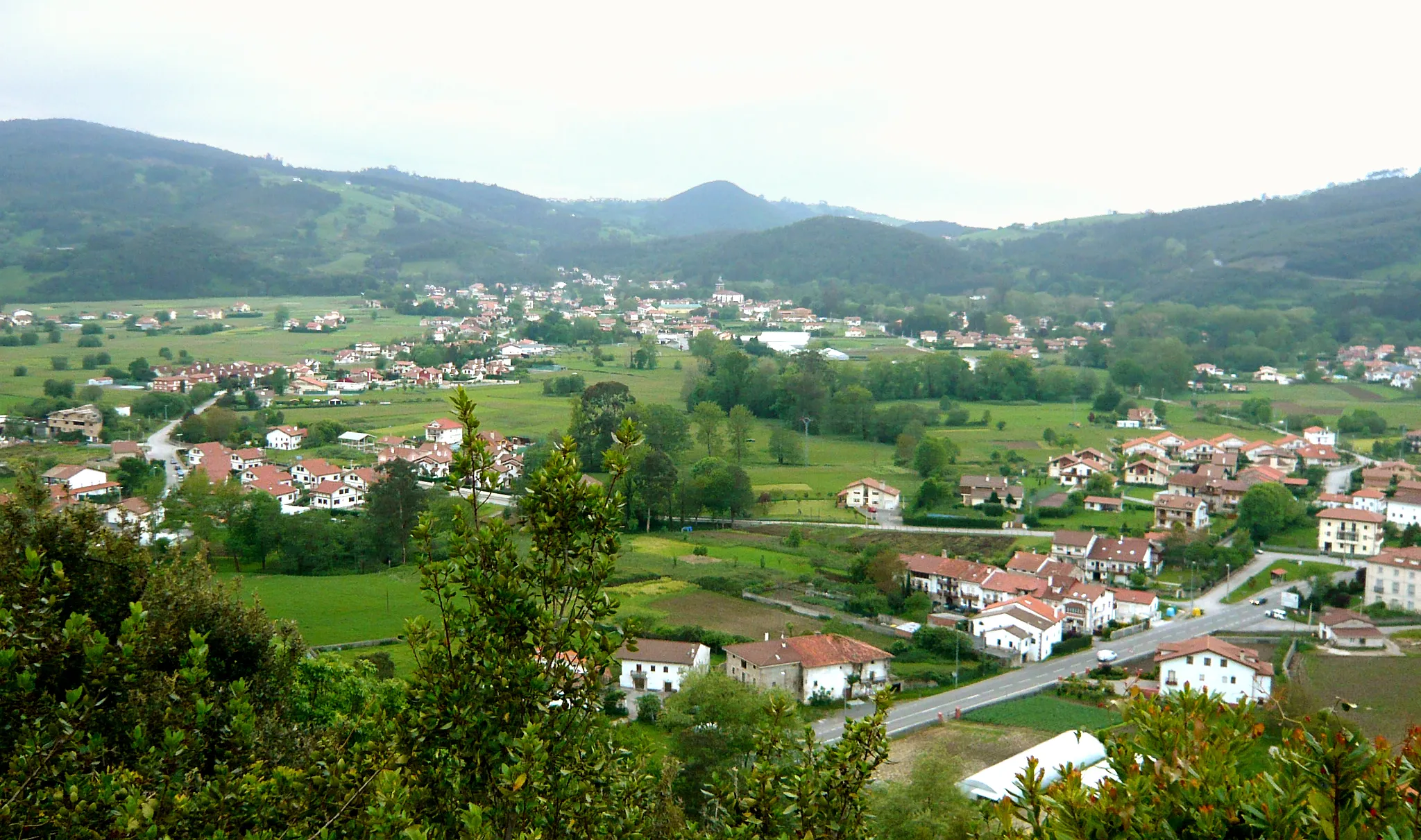
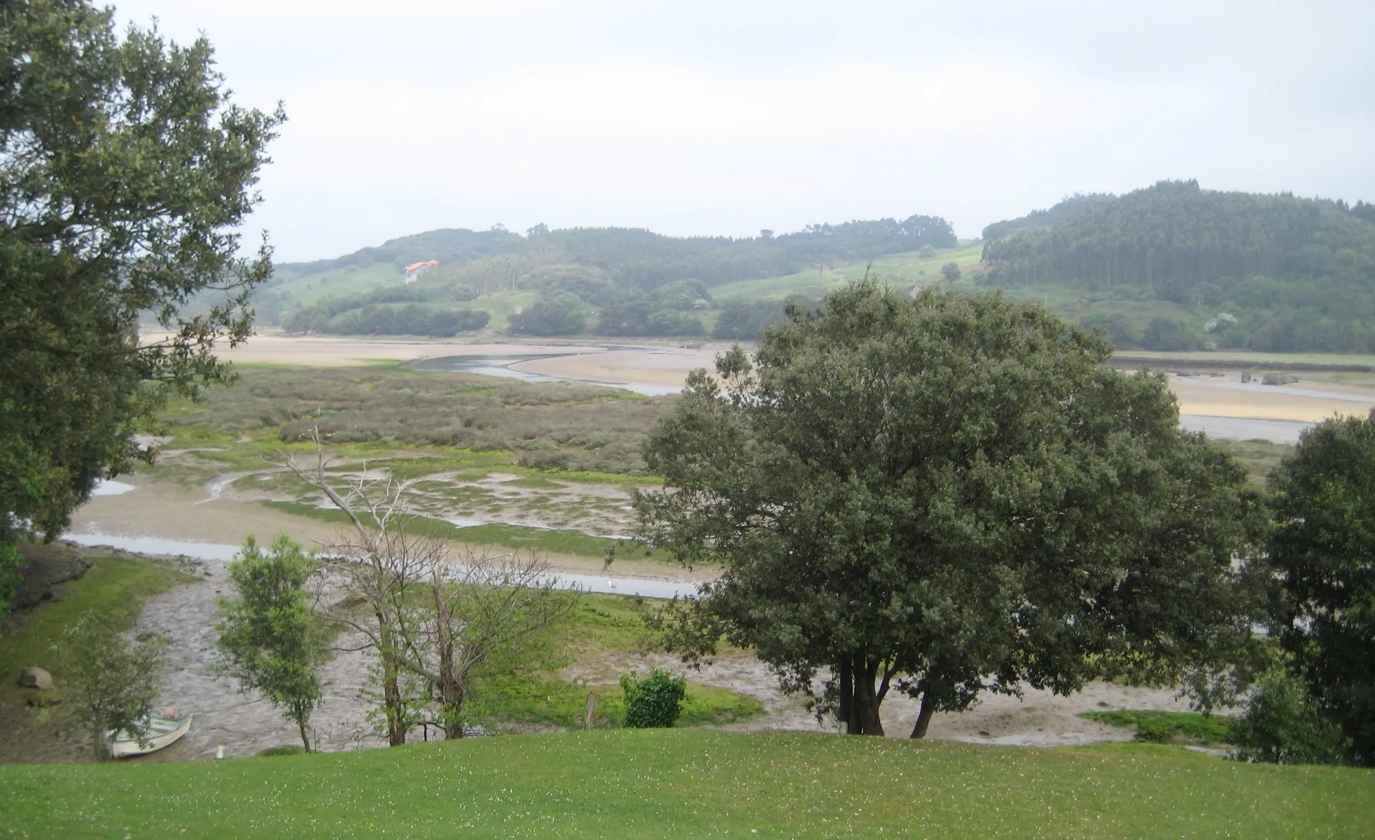
Start: Colindres Village centerColindres: Vielfältige Möglichkeiten für Radfahrer
Colindres bietet vielfältige Möglichkeiten für Radfahrer, die sowohl Herausforderungen als auch landschaftliche Schönheit suchen. Mit abwechslungsreichen Strecken und interessanten Sehenswürdigkeiten ist Colindres ein großartiges Ziel für Radtouren.4 km
4 km
Monte La Tejera253 mGipfelBestaunen Sie die Aussicht vom Monte La Tejera.
5 km
5 km
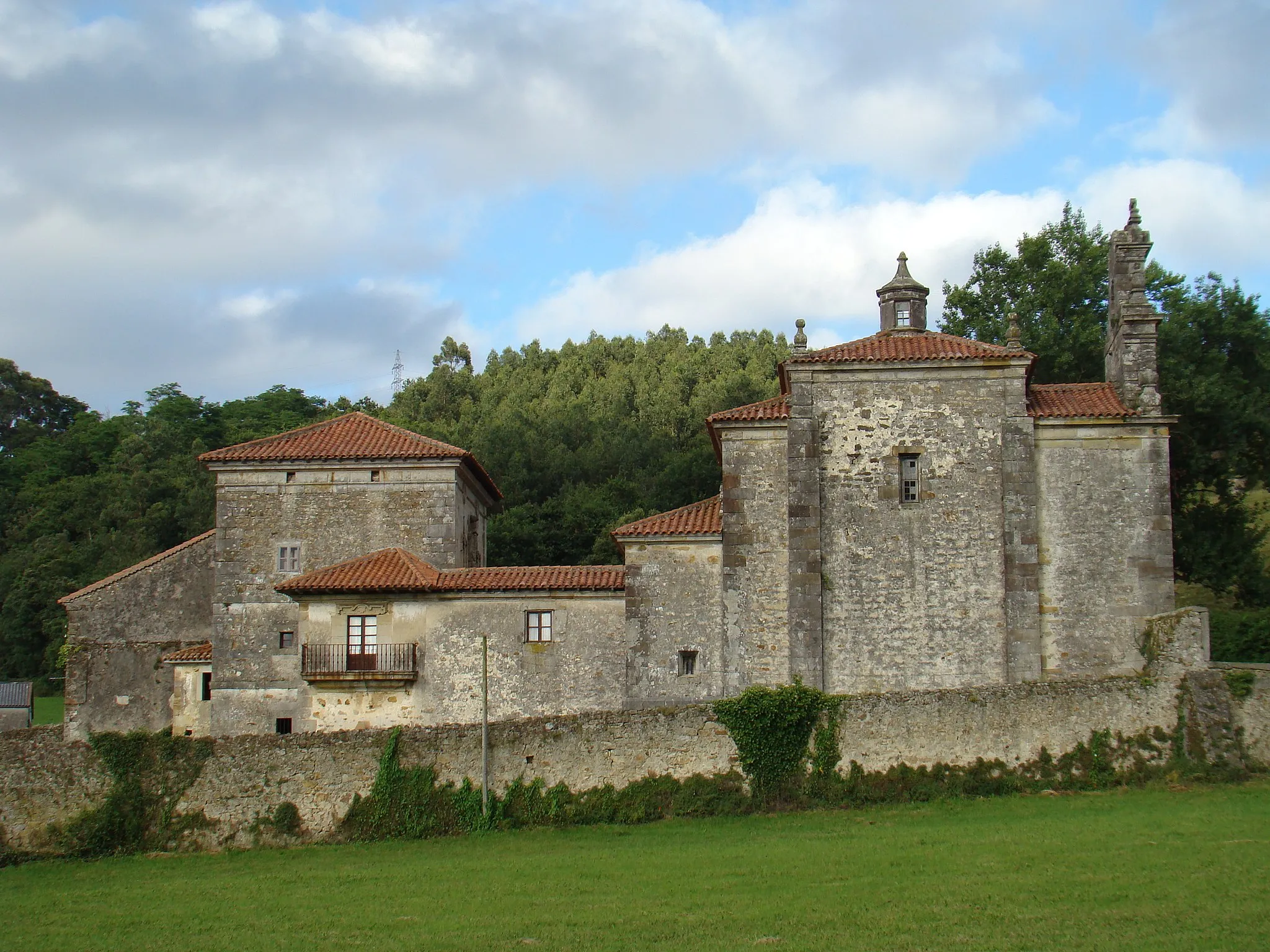
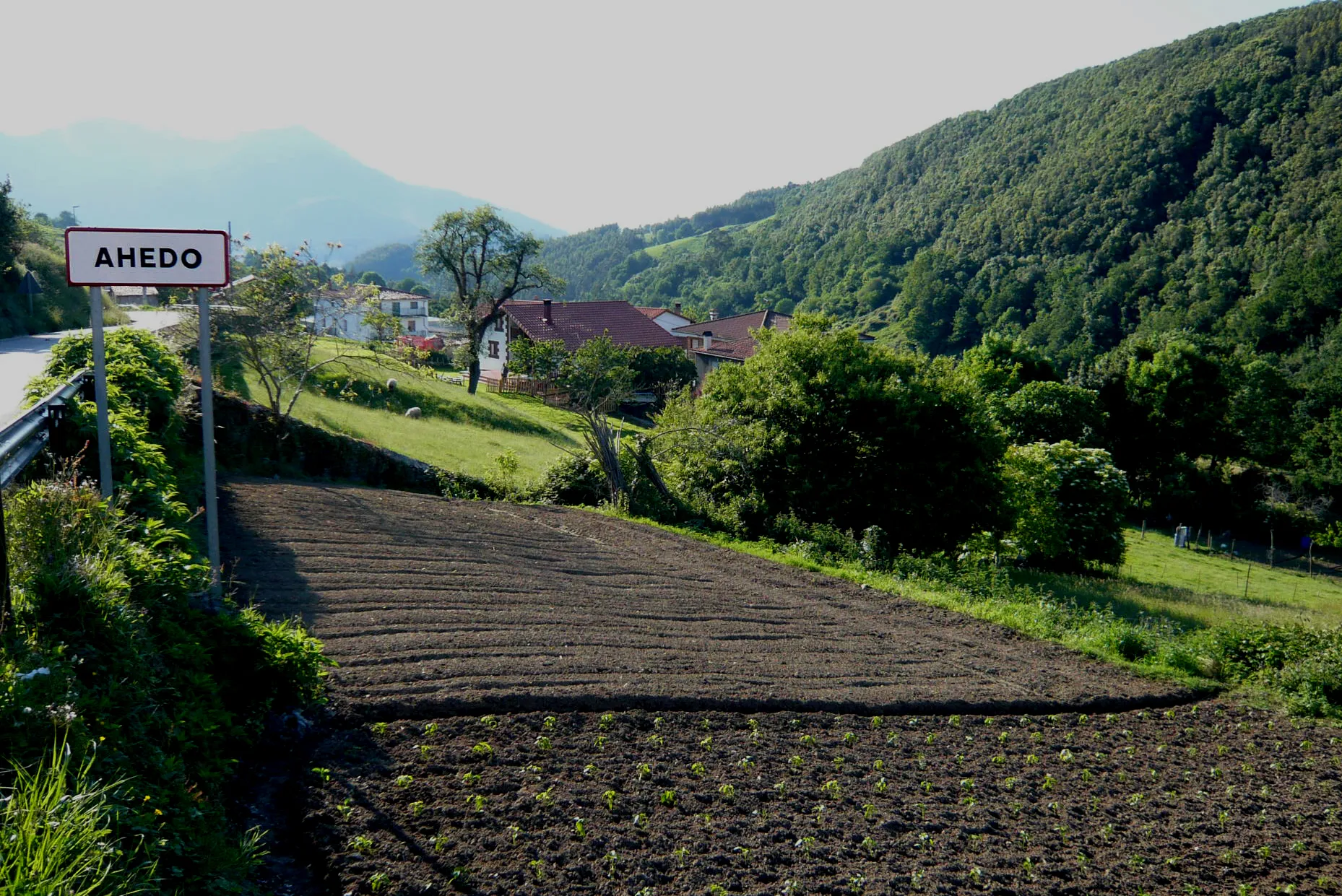
SeñaWeilerErkunden Sie das charmante Dorf Seña.
16 km
16 km
La Magdalena482 mWeilerEntdecken Sie die idyllische La Magdalena.
25 km
25 km
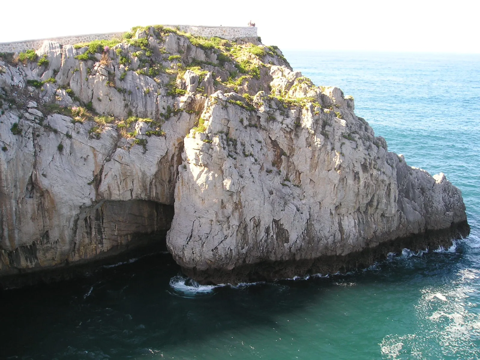
Hoyo Mena410 mGipfelGenießen Sie die Natur um Hoyo Mena.
41 km
41 km
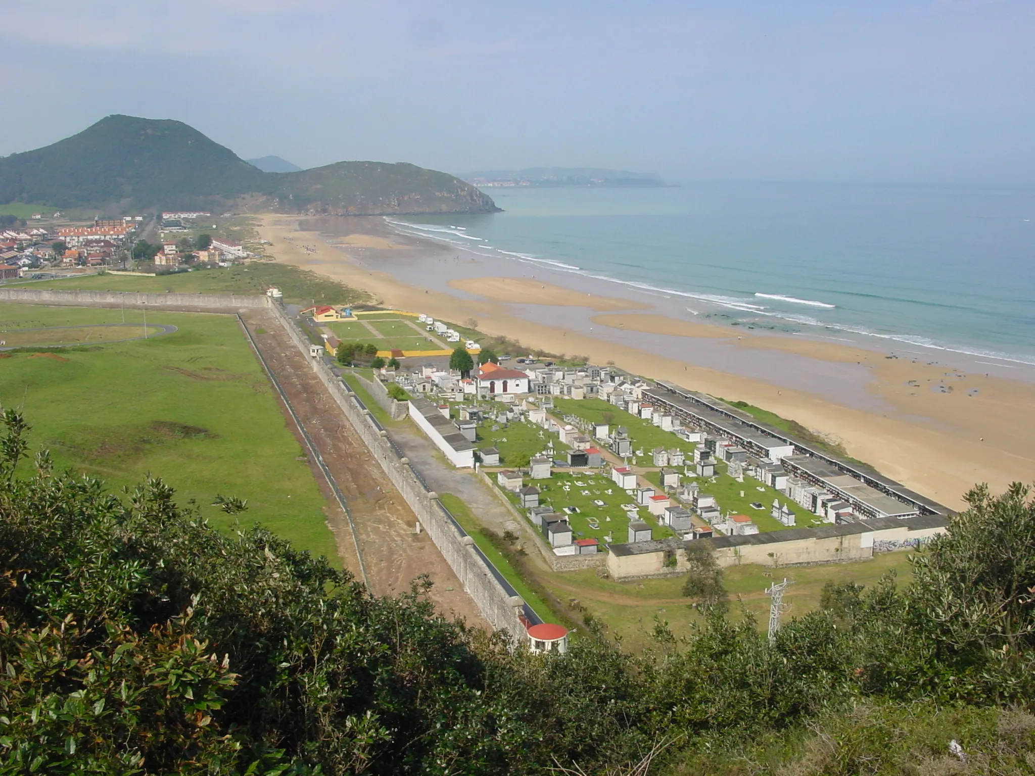
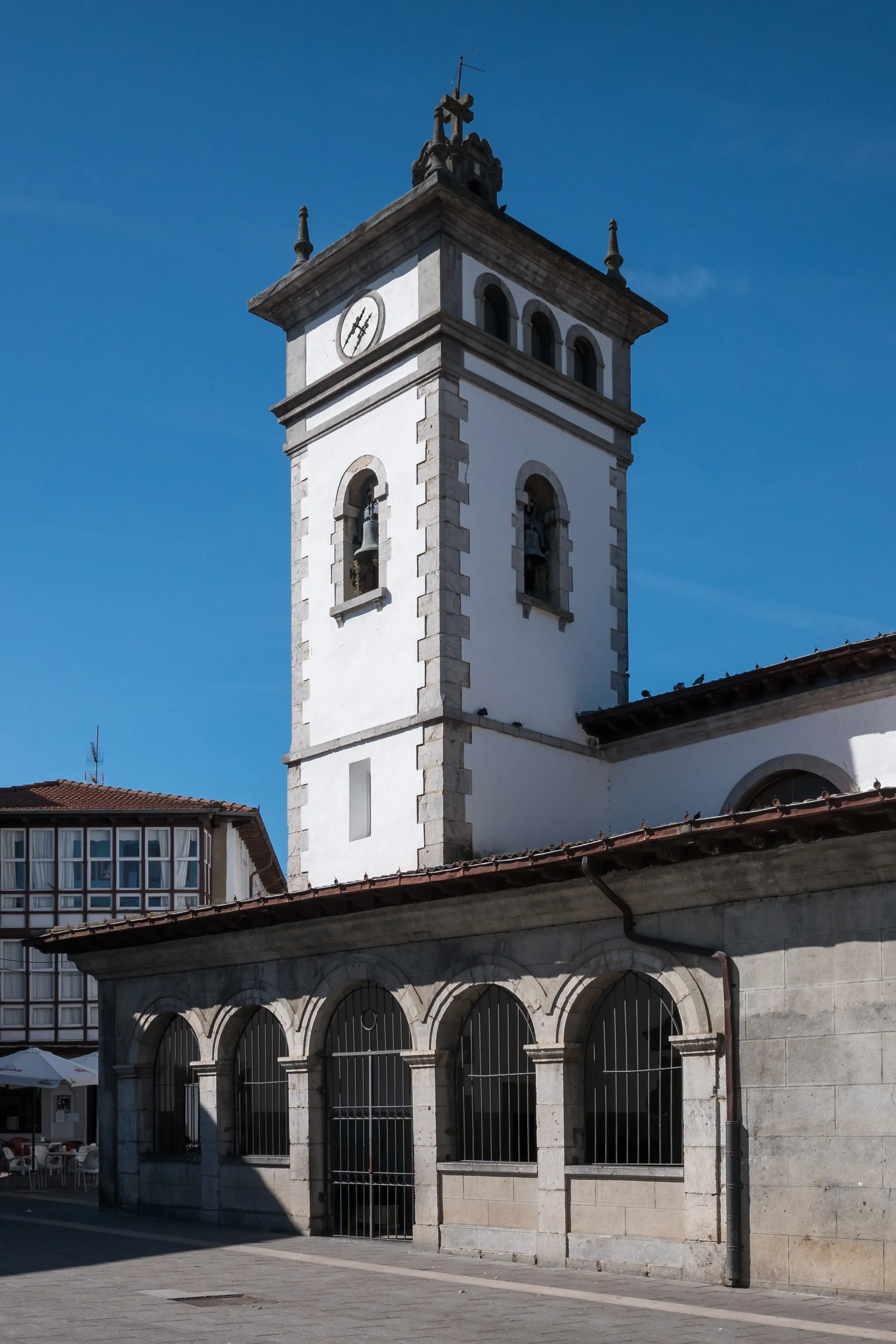
ColindresDorfErleben Sie die Fahrt durch Colindres.
41 km
41 km
Ziel: Colindres Village centerColindres: Vielfältige Möglichkeiten für Radfahrer
Radwege von Colindres:
Entdeckungstour auf dem Gravel-Bike Abenteuerliche Gravel-Tour um Colindres Epische Road-Bike-Tour durch Cantabria Gravel-Abenteuer durch die Natur Road-Bike-Tour mit intensivem Aufstieg Herausforderung um Colindres Fahrradroute um Colindres - Route mit 116 km und 1615 m Höhenunterschied Herausfordernde Rundtour in der Nähe von Colindres - 161 km mit 2522 m Anstieg Gravelabenteuer in der Nähe von Colindres Kurzstrecke um Colindres
In der Nähe befinden sich Fahrradrouten: