Gravel-Abenteuer durch die Natur
Eine gravel-Radroute, die von Colindres aus startet.
Erkunden Sie auf dieser 105 km langen Gravel-Tour die unberührte Natur und die charmanten Dörfer in der Nähe von Colindres.
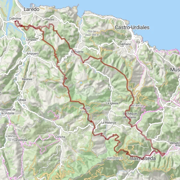
Karte
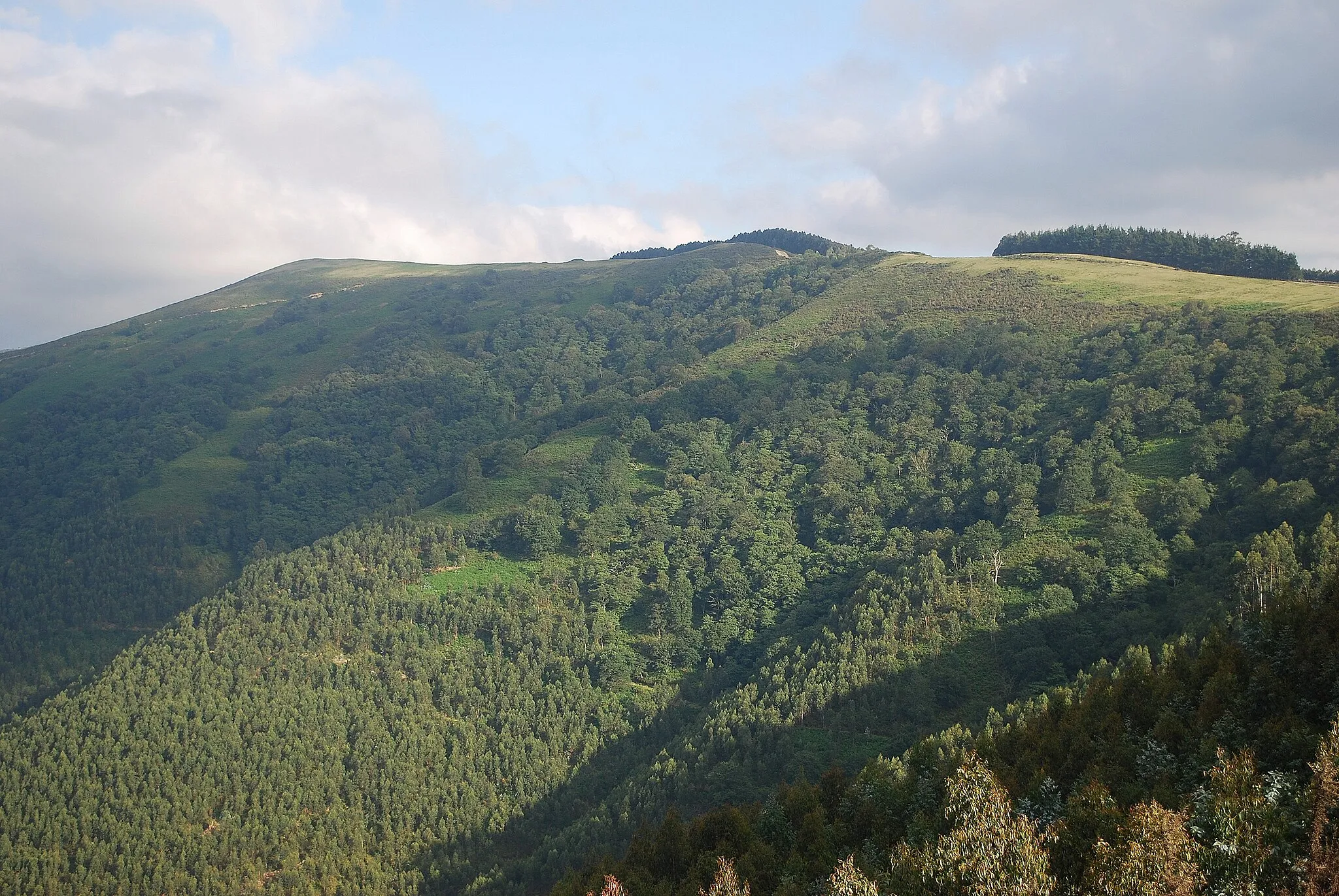
Durchqueren Sie die atemberaubende Landschaften von Seña, Peña de las Abejas, Monillo und San Miguel de Linares und entdecken Sie die historischen Stätten von Guinea, La Galupa und La Llama.
gravel
105 km
3261 m
Wild
Streckenprofil
Höhepunkte auf der Strecke
0 km
0 km
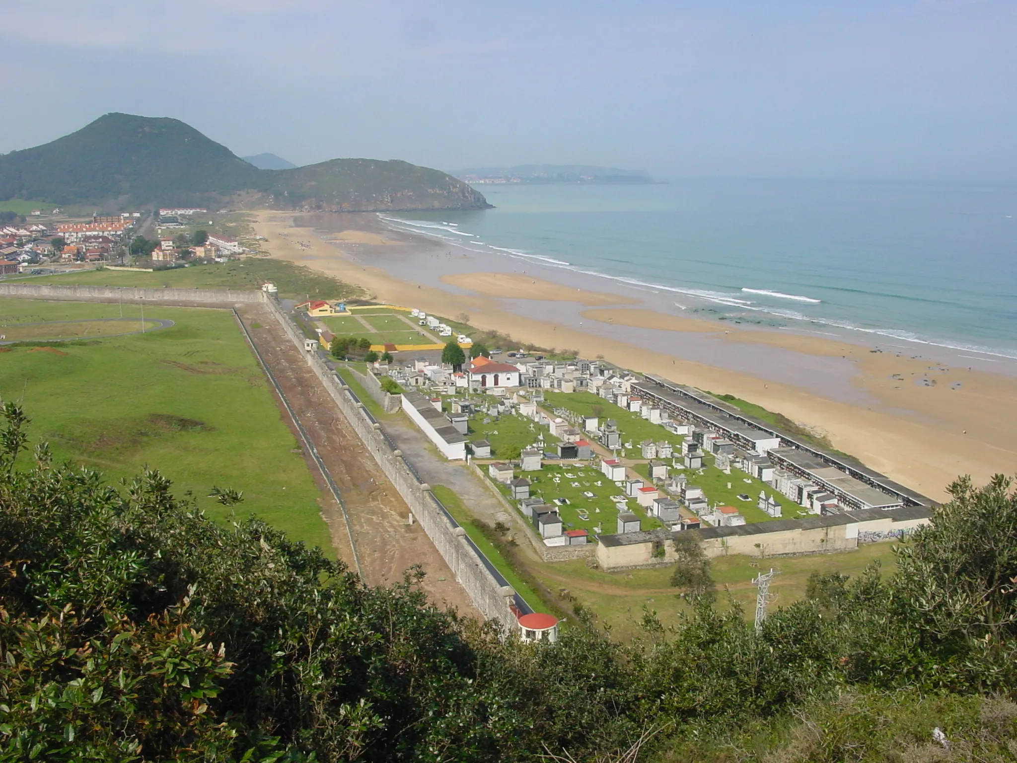
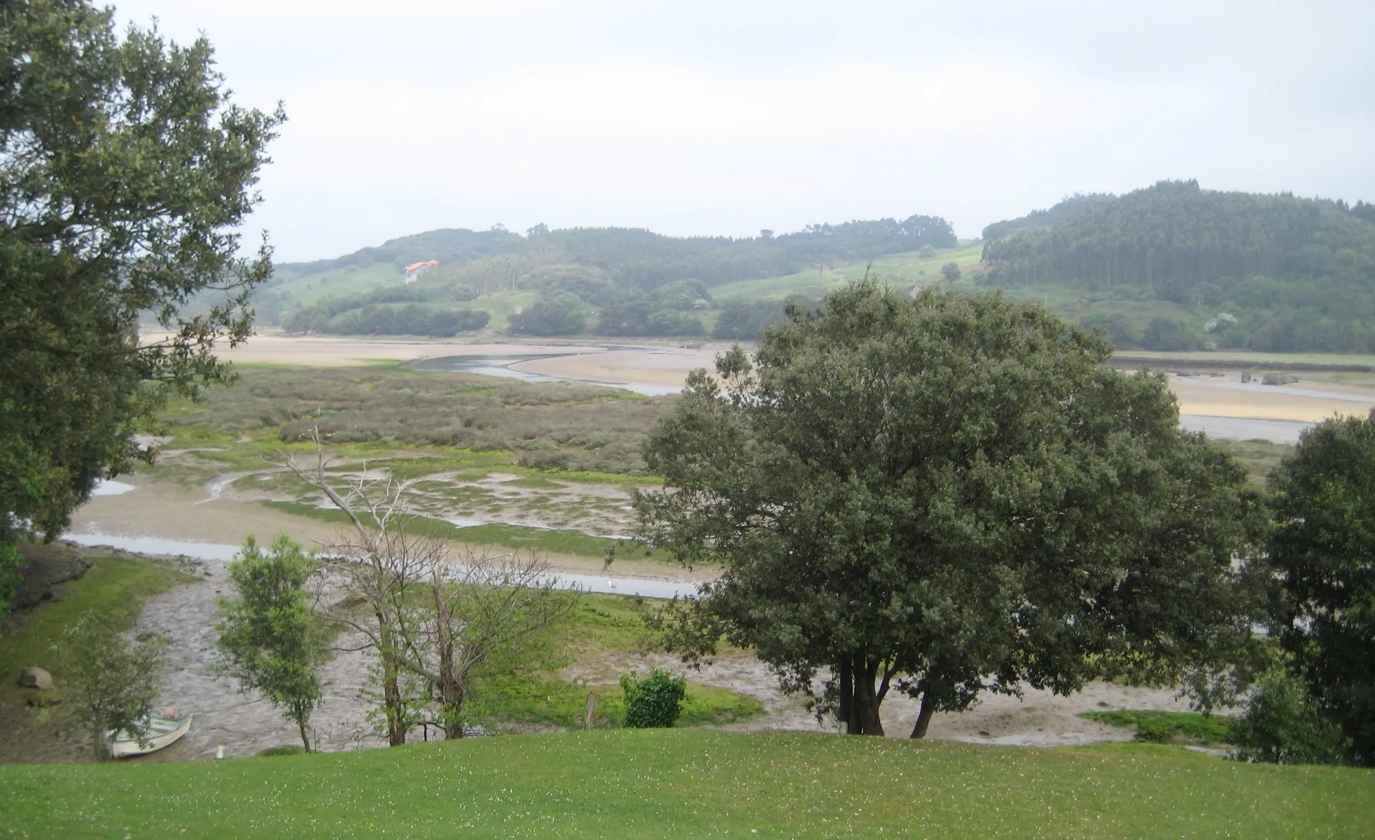
Start: Colindres Village centerColindres: Vielfältige Möglichkeiten für Radfahrer
Colindres bietet vielfältige Möglichkeiten für Radfahrer, die sowohl Herausforderungen als auch landschaftliche Schönheit suchen. Mit abwechslungsreichen Strecken und interessanten Sehenswürdigkeiten ist Colindres ein großartiges Ziel für Radtouren.5 km
5 km
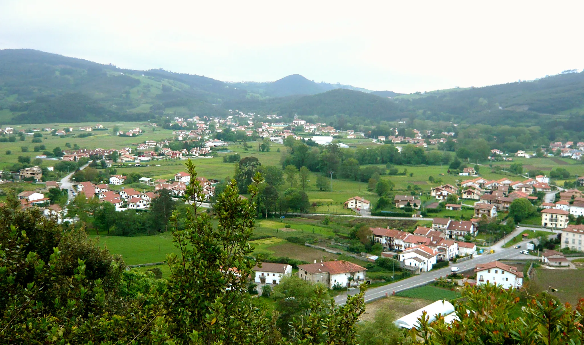
SeñaWeilerErleben Sie die Schönheit von Seña.
13 km
13 km
Peña de las Abejas338 mGipfelErkunden Sie die faszinierende Peña de las Abejas.
23 km
23 km
Monillo469 mGipfelEntdecken Sie das charmante Dorf Monillo.
38 km
38 km
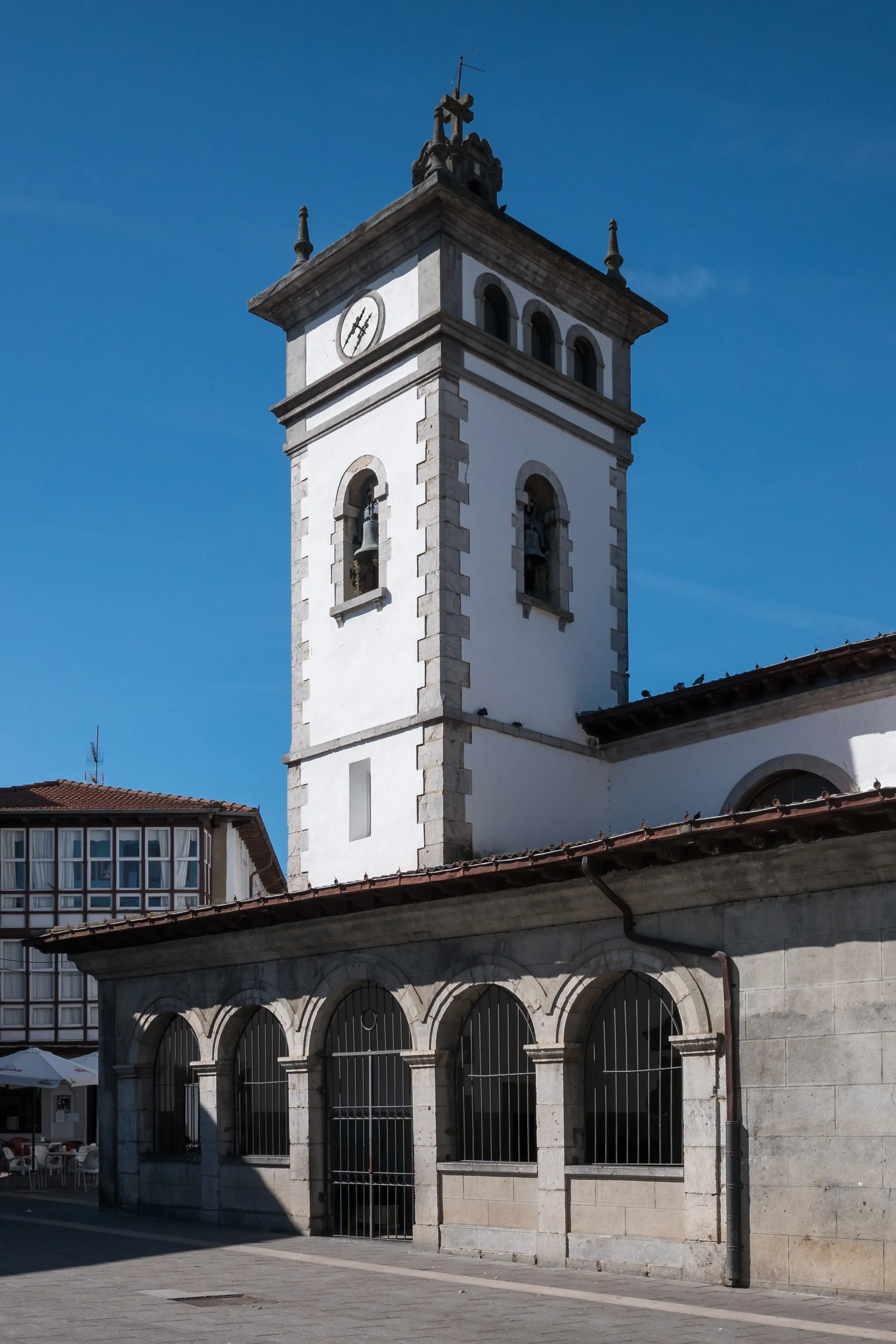
San Miguel de LinaresDorfBewundern Sie die Schätze von San Miguel de Linares.
49 km
49 km
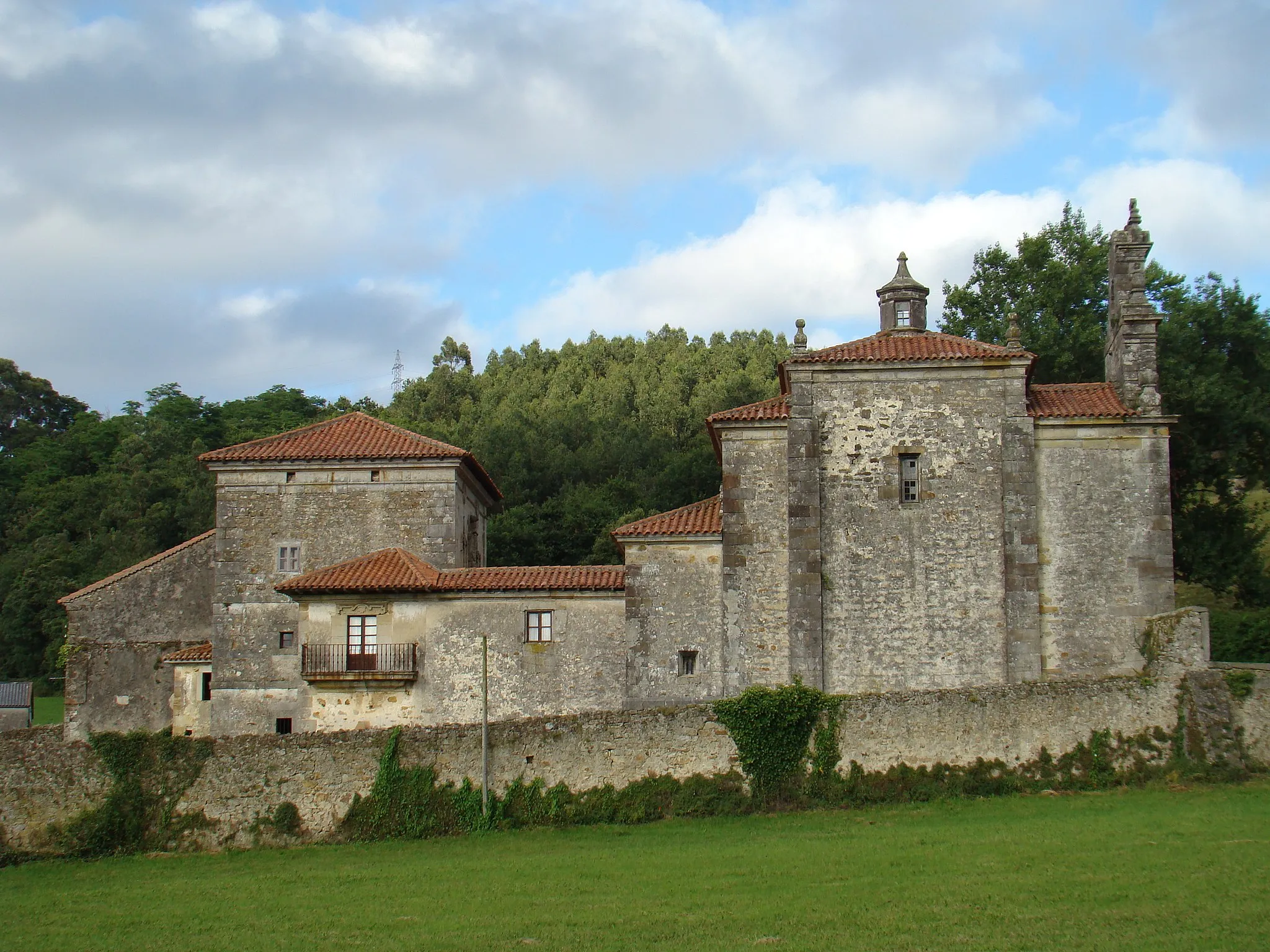
Bolunburuko burdinolaBurgruinenBesuchen Sie die historische Bolunburuko burdinola.
59 km
59 km
Guinea603 mGipfelEntdecken Sie das malerische Guinea.
81 km
81 km
La Galupa709 mGipfelErkunden Sie die historische La Galupa.
93 km
93 km
La Llama469 mGipfelBesuchen Sie das idyllische La Llama.
105 km
105 km
ColindresDorfGenießen Sie die Fahrt durch Colindres.
105 km
105 km
Ziel: Colindres Village centerColindres: Vielfältige Möglichkeiten für Radfahrer
Radwege von Colindres:
Entdeckungstour auf dem Gravel-Bike Abenteuerliche Gravel-Tour um Colindres Epische Road-Bike-Tour durch Cantabria Gravel-Abenteuer durch die Natur Road-Bike-Tour mit intensivem Aufstieg Herausforderung um Colindres Fahrradroute um Colindres - Route mit 116 km und 1615 m Höhenunterschied Herausfordernde Rundtour in der Nähe von Colindres - 161 km mit 2522 m Anstieg Gravelabenteuer in der Nähe von Colindres Kurzstrecke um Colindres
In der Nähe befinden sich Fahrradrouten: