Arzier to Aubonne Gravel Loop
Pyöräilyreitti gravel alkaen Prangins
Enjoy an 85 km gravel loop from Arzier to Aubonne, exploring the diverse landscapes of the region.
Kartta

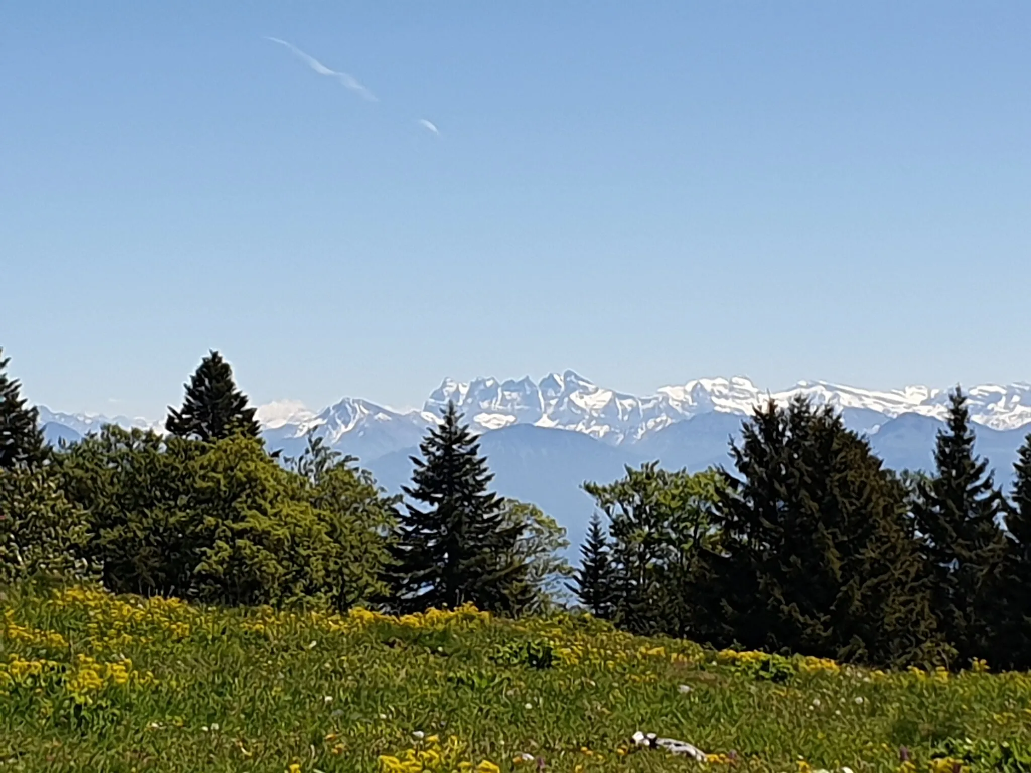
This 85 km gravel loop takes riders on a scenic journey through the picturesque landscapes near Prangins. With an ascent of 2031 meters, highlights of the route include the charming villages of Arzier and Montricher, as well as the scenic views from Col du Marchairuz.
gravel
85 km
2031 m
Raaka
Reitin profiili
Reitin kohokohdat
0 km
0 km
Aloitus: Prangins Village centerPrangins: Pyöräilyn mekka
Prangins sijaitsee Région lémaniquen alueella Sveitsissä. Alueella on upeita pyöräilyreittejä, jotka tarjoavat mahtavat näkymät ja haastavia nousuja. Lähellä sijaitsevat kuuluisat pyöräilykohteet houkuttelevat aktiivisia pyöräilijöitä. Prangins on ihanteellinen paikka maantie- ja maastopyöräilyyn.10 km
10 km
ArzierKyläExplore the rustic charm of Arzier village and its surroundings.
27 km
27 km
Col du Marchairuz1449 mVuoristosolaChallenge yourself with the ascent to Col du Marchairuz for stunning views at the top.
51 km
51 km
Le BelvédèreNäköalapaikkaTake in the panoramic views from Le Belvédère along the route.
53 km
53 km
MontricherKyläPass through the quaint village of Montricher and enjoy the scenic surroundings.
67 km
67 km
AubonneKyläExplore the historic village of Aubonne as you near the end of the route.
85 km
85 km
PranginsKyläReturn to Prangins after a challenging and rewarding gravel adventure.
85 km
85 km
Maali: Prangins Village centerPrangins: Pyöräilyn mekka
Pyöräilyreitit alkaen Prangins:
Saint-Cergue Exploration Trail Arzier to Aubonne Gravel Loop Coinsins to Gland Gravel Adventure Prangins - Arzier - Col de la Givrine - Saint-Cergue - Coinsins Chéserex and Tabagnoz Gravel Loop Grand Région Lémanique Road Adventure Prangins - Grilly - Col de la Faucille - Mijoux - Septmoncel - Les Rousses - Saint-Cergue - Trélex Jura Heights Challenge Näkymätön Nyonin reitti Kumpuileva kierros järvenrannalla