Trasa Gravel do Pfunds
Trasa rowerowa o rodzaju gravel rozpoczynająca się w miejscowości Pfunds
Odkryj piękną trasę gravel prowadzącą do Pfunds
Mapa
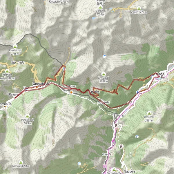
Trasa gravel o długości 41 km i przewyższeniu 2440 m prowadzi przez malownicze krajobrazy z punktami widokowymi, w tym Rauher Kopf i Aussichtspunkt Kanzeltobel.
gravel
41 km
2440 m
Trudna
Profil trasy
Najważniejsze punkty na trasie
0 km
0 km
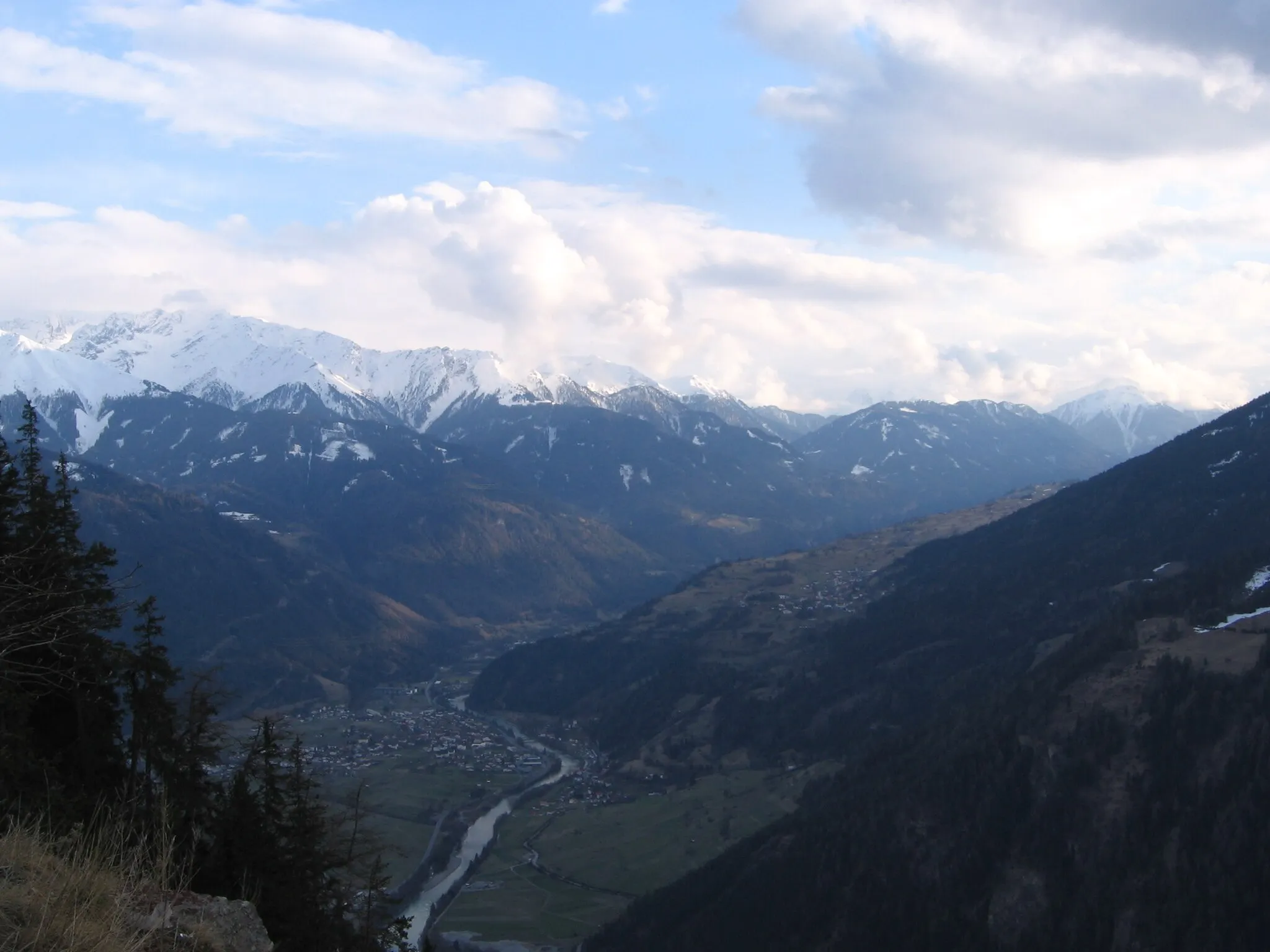
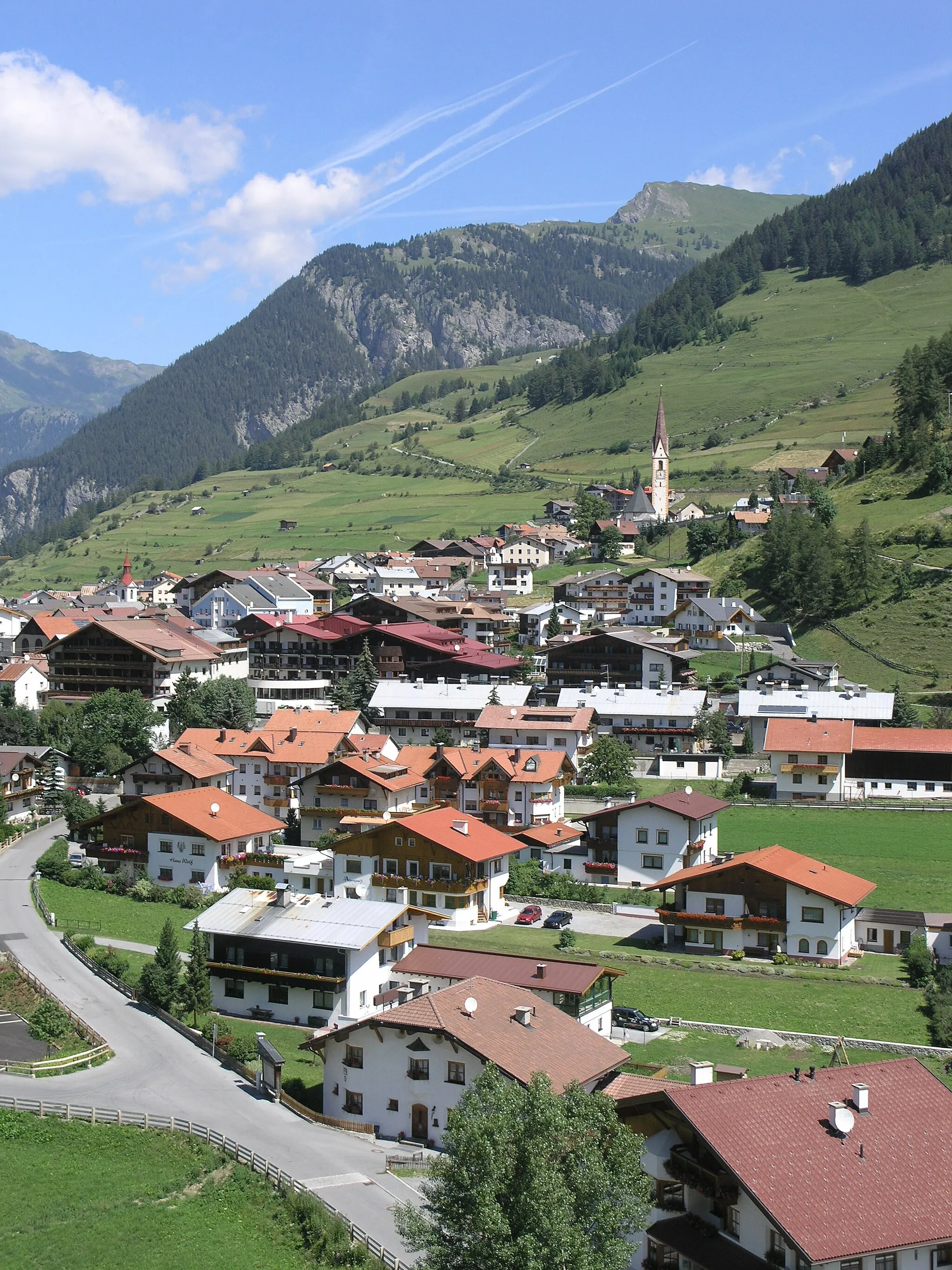
Start: Pfunds Village centerPfunds: Off-road paradise in the Austrian Alps.
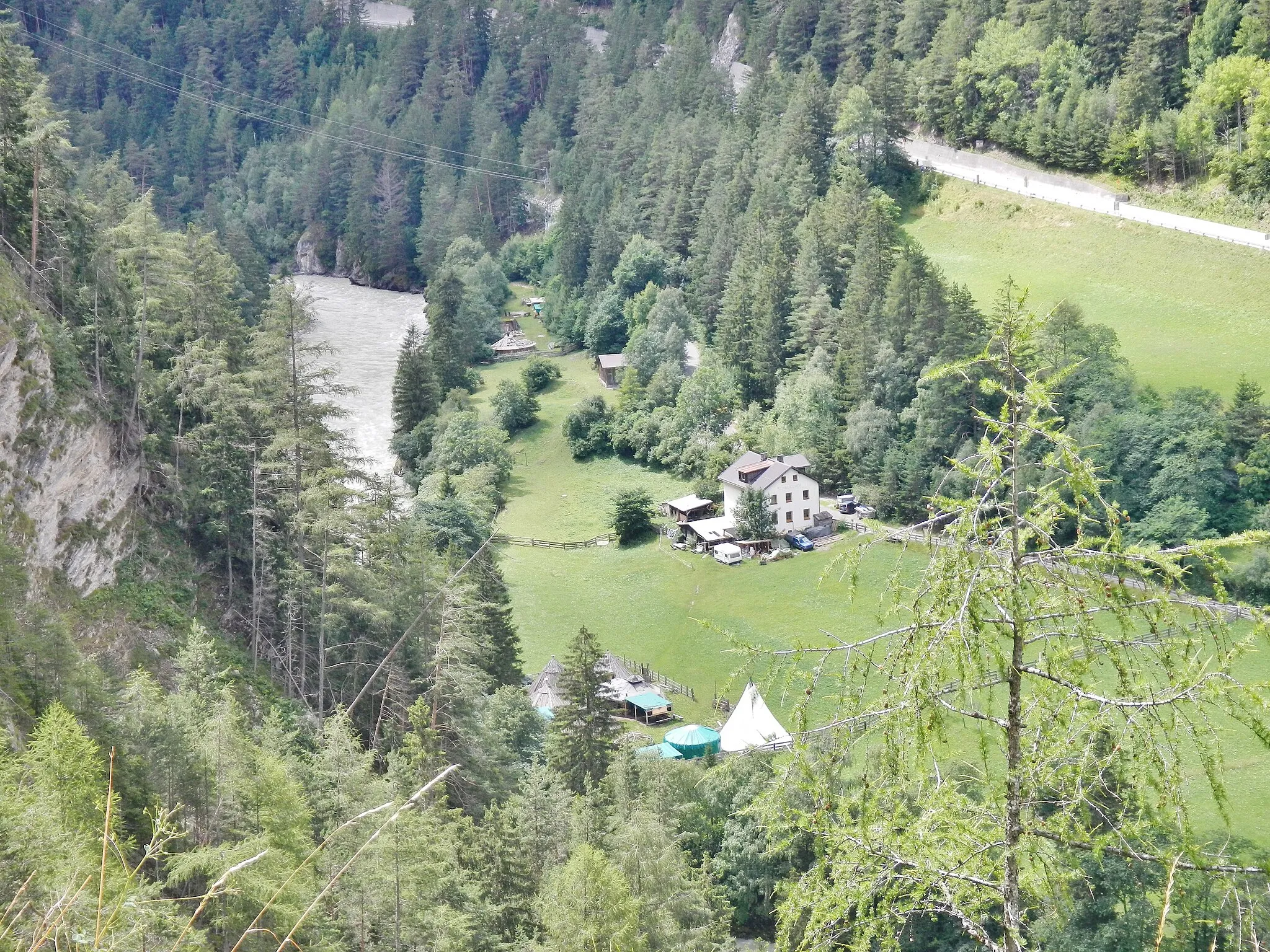
Pfunds is a lovely locality in Tirol, Austria, perfect for gravel cyclists looking to explore the breathtaking mountain scenery. The region offers a variety of gravel roads and off-road trails that will challenge and excite any cyclist. Some notable nearby climbs include Piller Höhe and Reschen Pass. With its stunning landscapes and challenging routes, Pfunds is a must-visit destination for gravel cycling enthusiasts.0 km
0 km
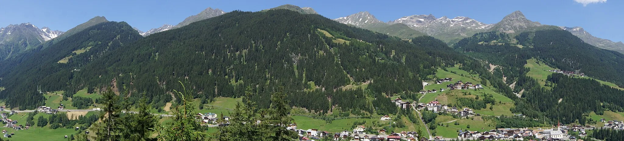
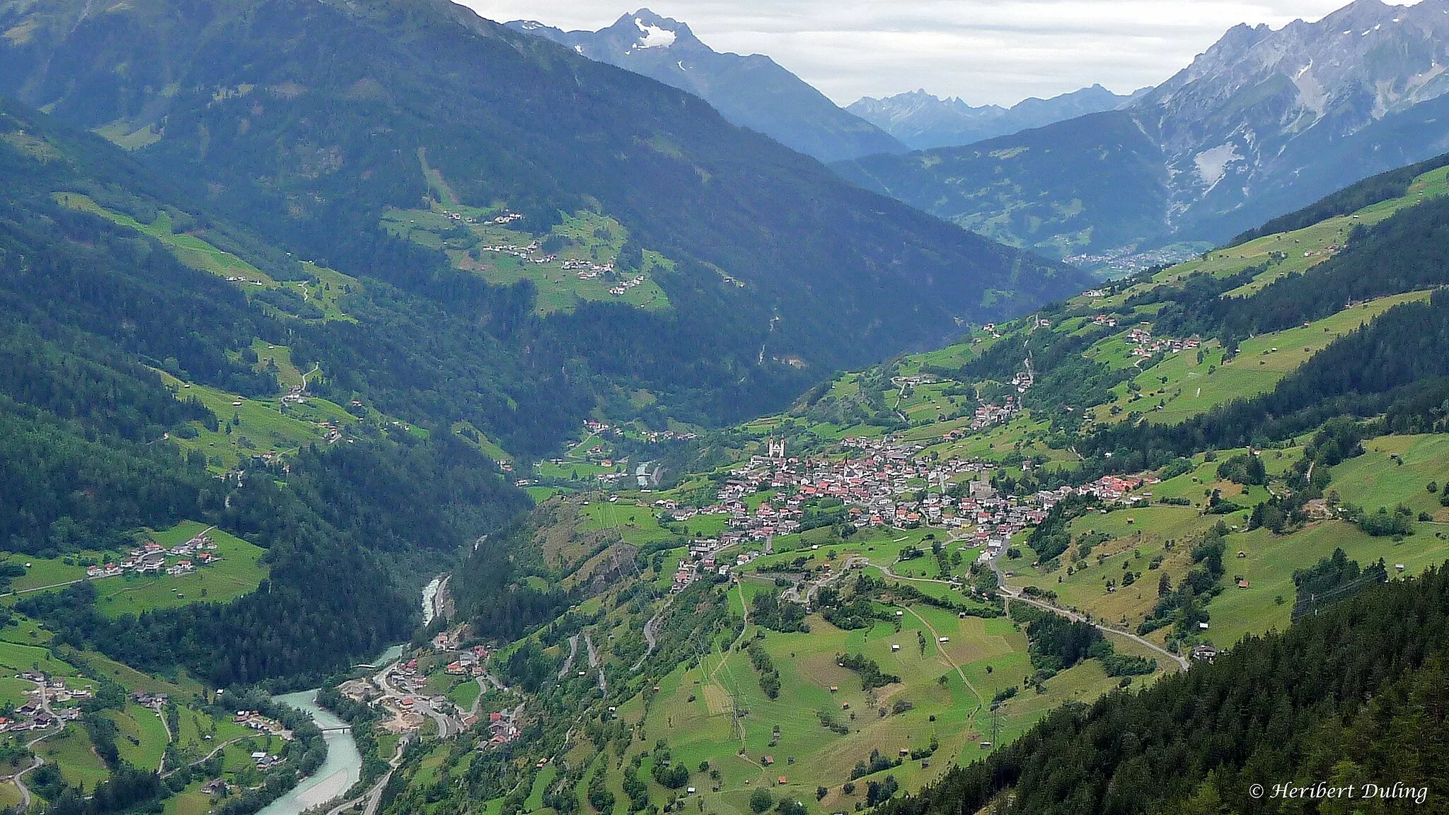
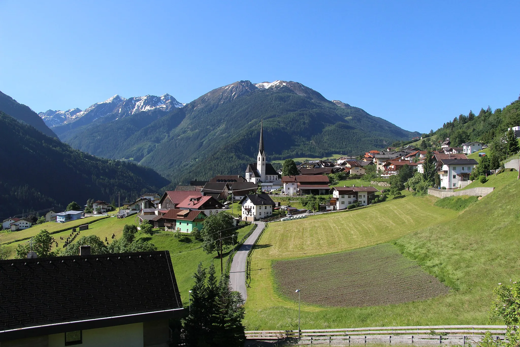
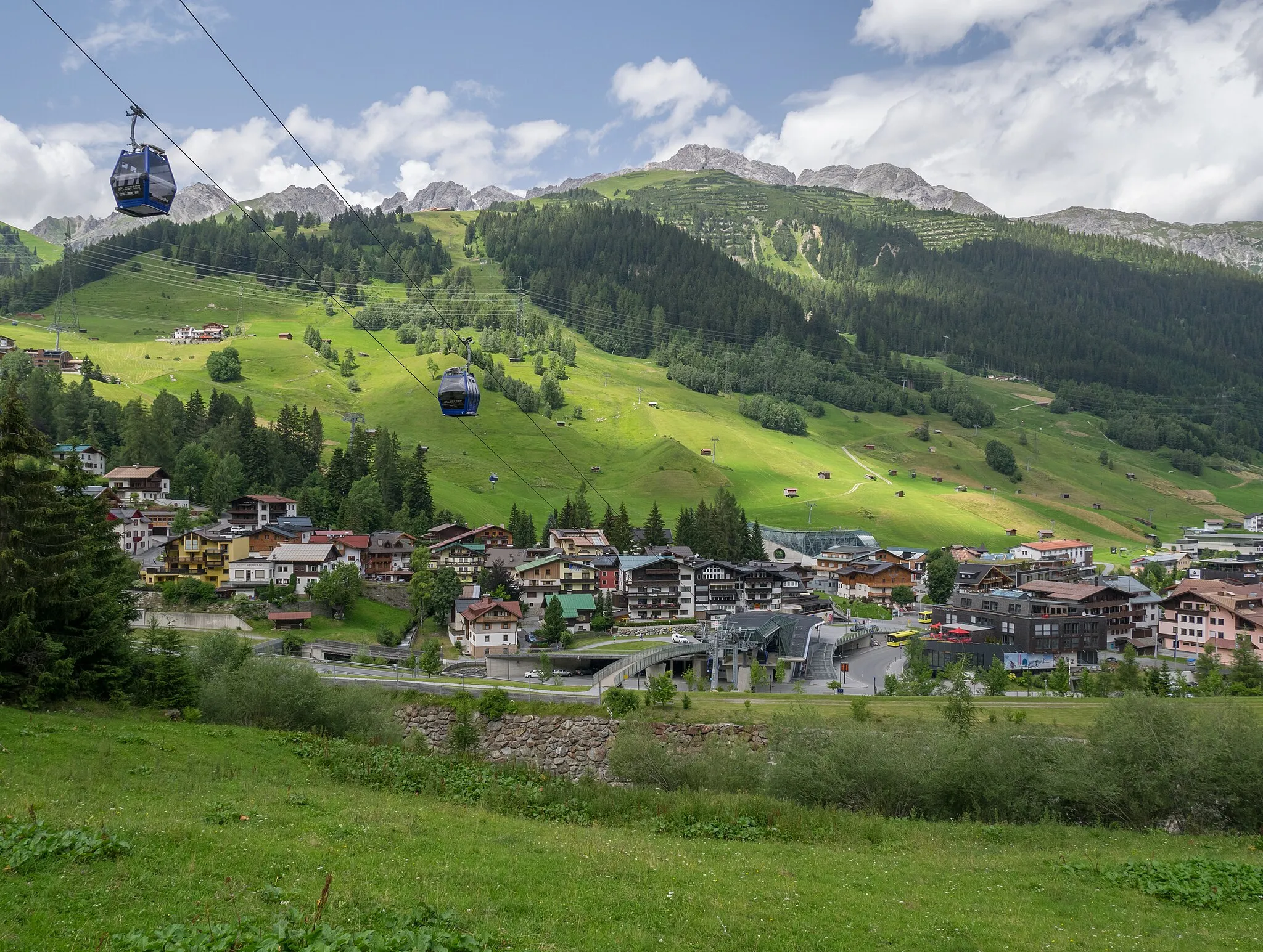
PfundsWioskaTrasa prowadzi przez urocze miasteczko Pfunds.
8 km
8 km
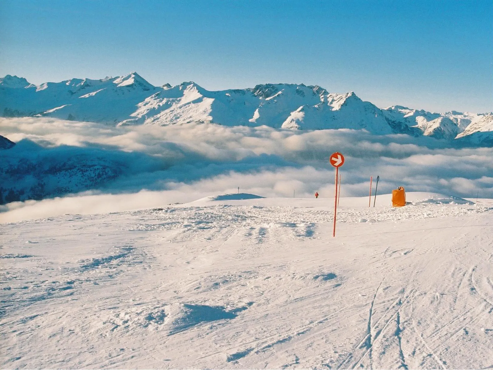
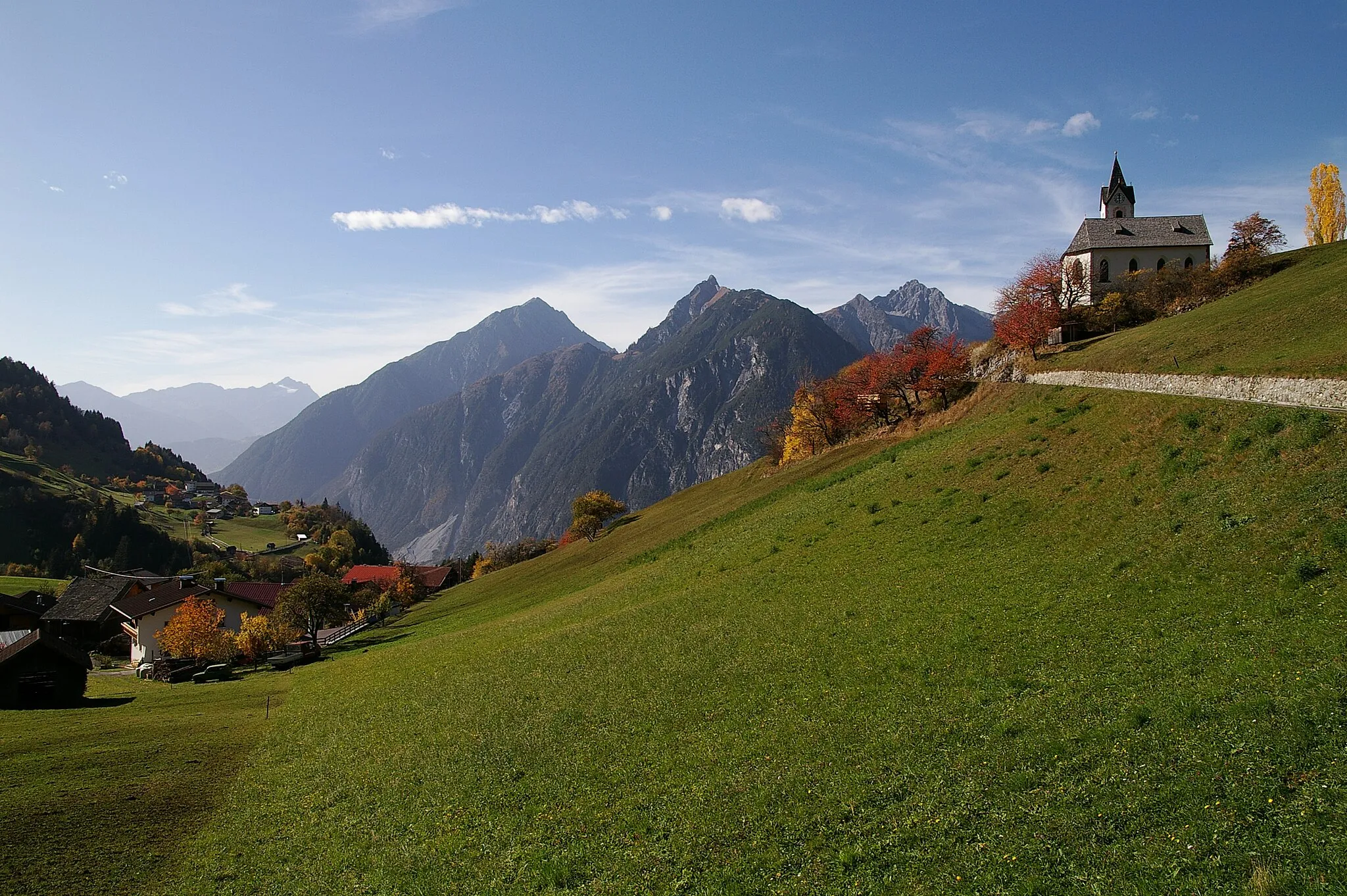
Rauher Kopf2052 mSzczytNa trasie znajduje się malowniczy punkt widokowy Rauher Kopf.
36 km
36 km
Aussichtspunkt KanzeltobelWidokAussichtspunkt Kanzeltobel zapewnia piękne widoki na okolicę.
41 km
41 km
Miejsce docelowe: Pfunds Village centerPfunds: Off-road paradise in the Austrian Alps.
Trasy rowerowe z Pfunds:
Trasa Road Rote Wand Trasa gravelowa przez Pfunds i okoliczne przełęcze Trasa Gravel do Pfunds Trasa Gravel do Rote Wand Trasa gravelowa wokół Pfunds Trasa rowerowa Pfunds - Reschensee Przejażdżka szosowa przez malownicze przełęcze i fort Nauders Trasa Road Norbertshöhe Trasa dookoła Pfunds Podbój górskich szczytów na rowerze szosowym
Trasy rowerowe w okolicy: