Trasa Gravel do Rote Wand
Trasa rowerowa o rodzaju gravel rozpoczynająca się w miejscowości Pfunds
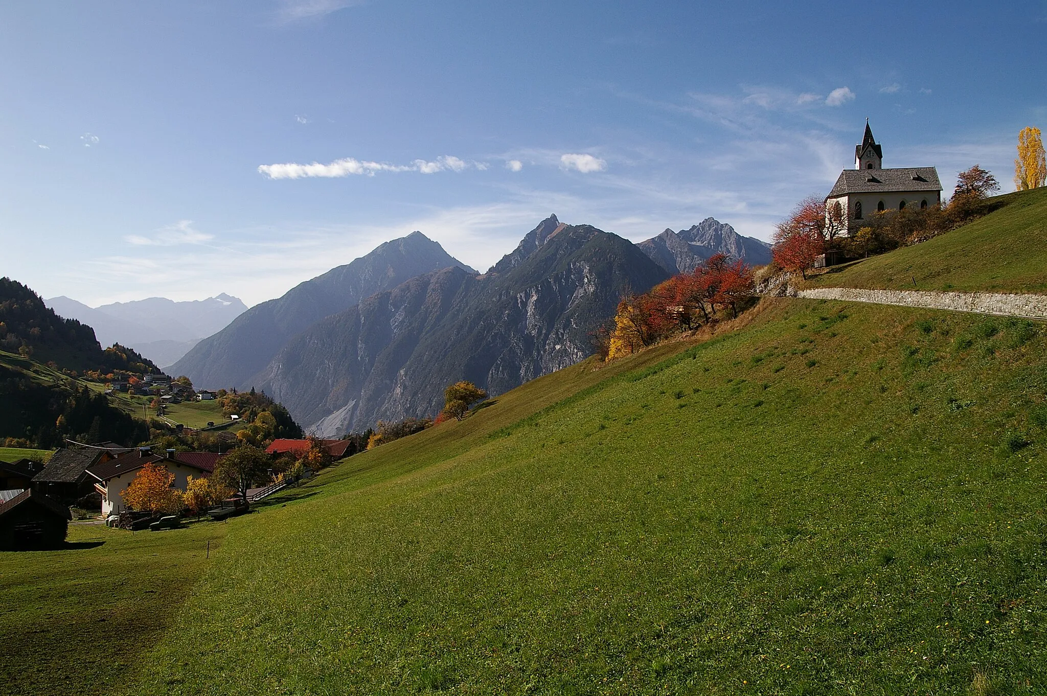
Zwiedź urocze Rote Wand na trasie gravel
Mapa
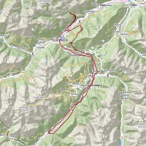
Wspaniała trasa gravel o długości 87 km i przewyższeniu 2887 m, prowadząca do malowniczych terenów z punktami widokowymi, takimi jak Rote Wand, Tösens, Burgruine Schrofenstein, Burschlboden, Zams, Aussichtshütte Anreit, Fließ, Prutz i Spieltennentrum.
gravel
87 km
2887 m
Trudna
Profil trasy
Najważniejsze punkty na trasie
0 km
0 km
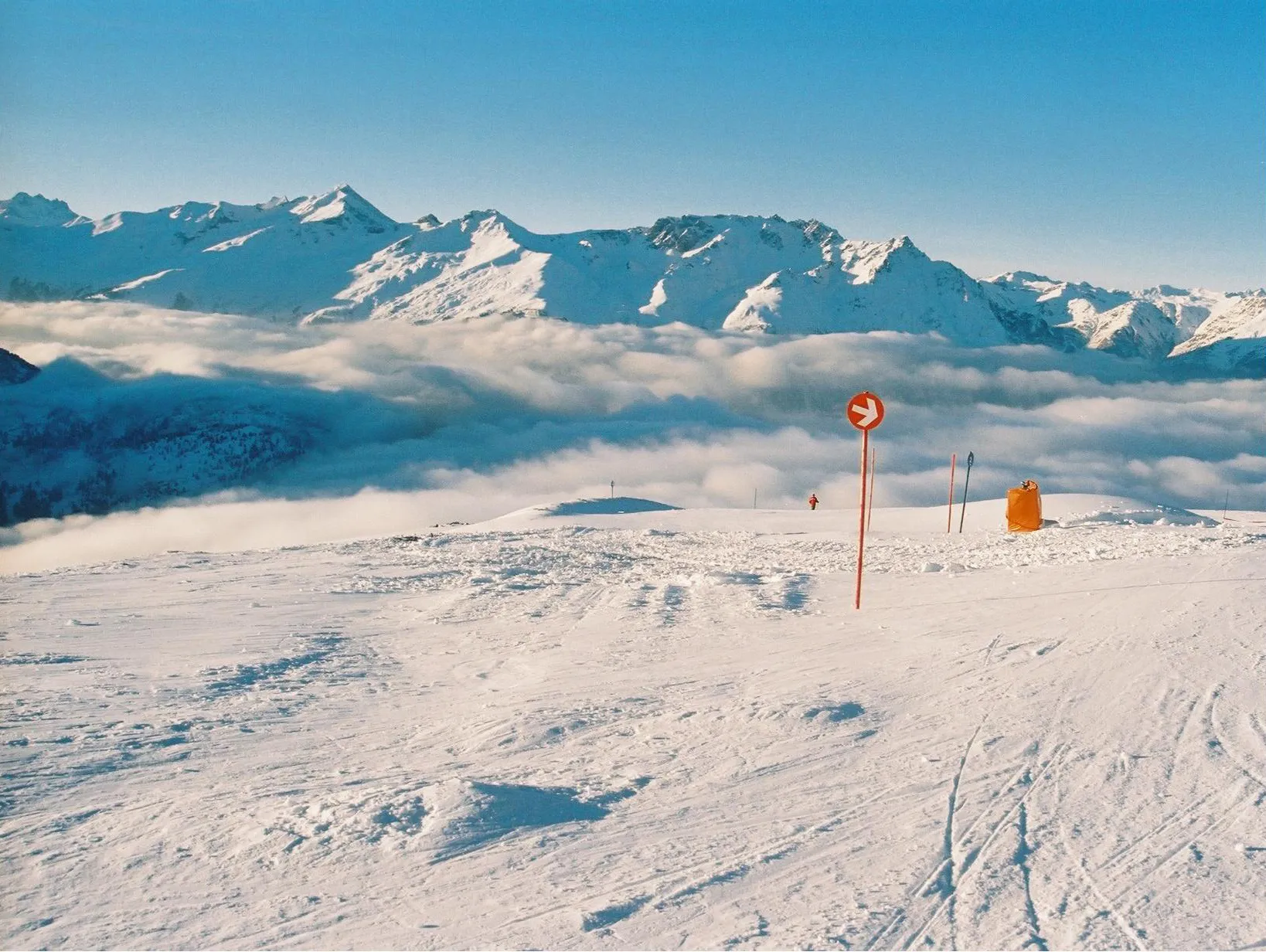
Start: Pfunds Village centerPfunds: Off-road paradise in the Austrian Alps.
Pfunds is a lovely locality in Tirol, Austria, perfect for gravel cyclists looking to explore the breathtaking mountain scenery. The region offers a variety of gravel roads and off-road trails that will challenge and excite any cyclist. Some notable nearby climbs include Piller Höhe and Reschen Pass. With its stunning landscapes and challenging routes, Pfunds is a must-visit destination for gravel cycling enthusiasts.3 km
3 km
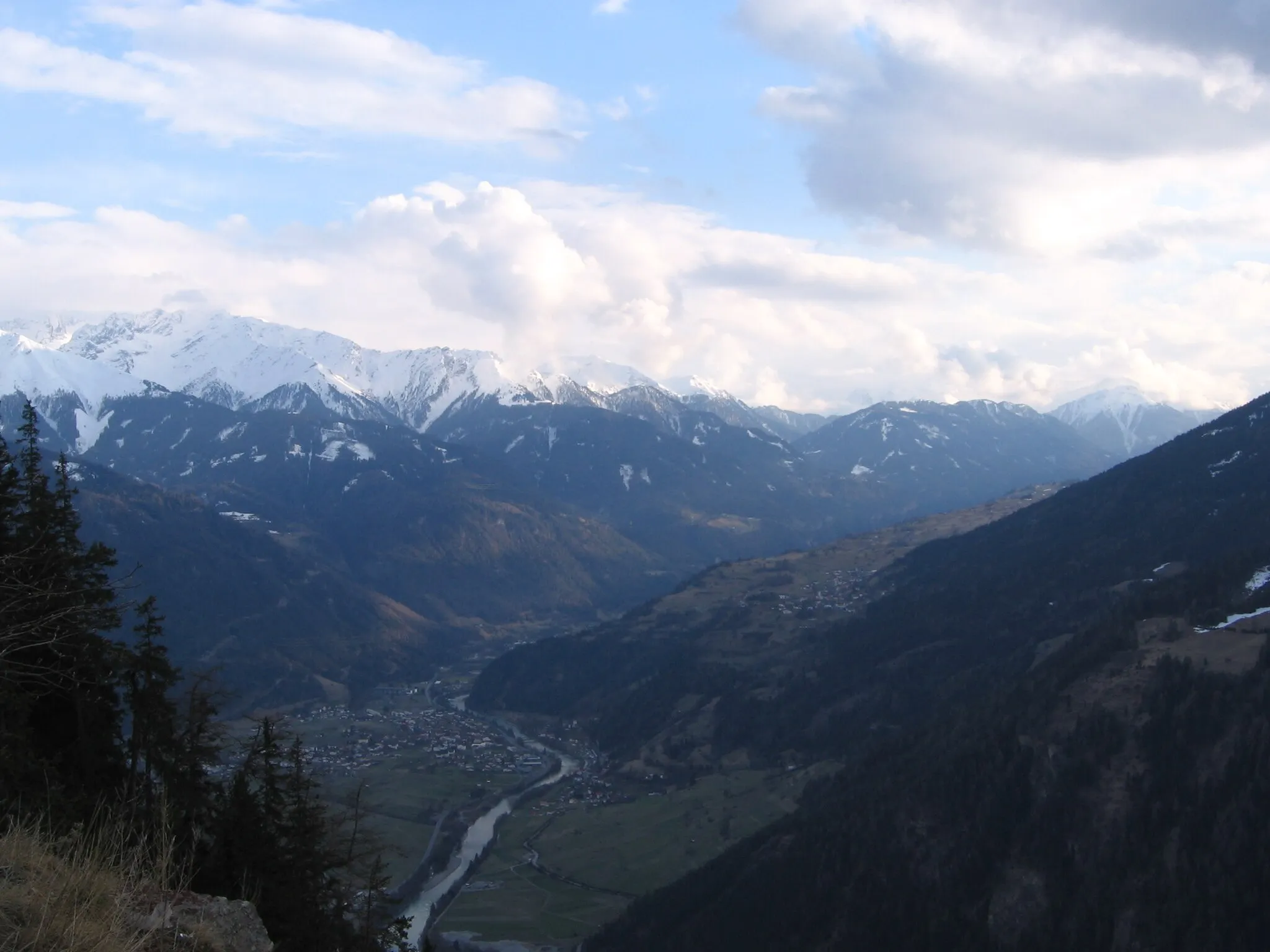
Rote Wand1382 mSzczytRote Wand to imponująca formacja skalna.
8 km
8 km
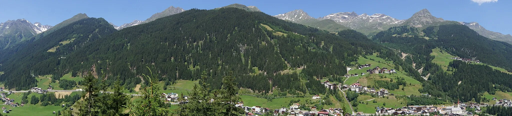
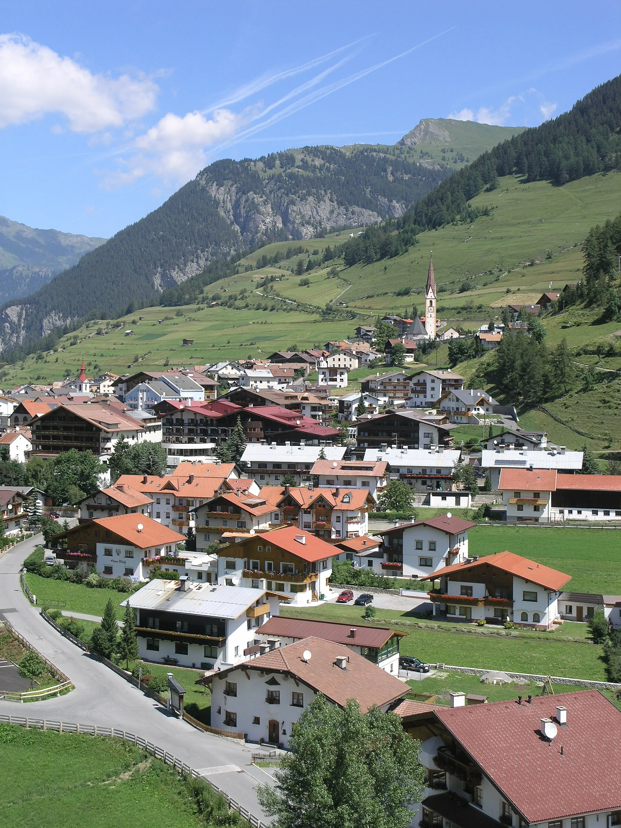
TösensWioskaTösens to urokliwa miejscowość na trasie.
31 km
31 km
Burgruine SchrofensteinZamekBurgruine Schrofenstein to ruiny zamku na trasie.
33 km
33 km
BurschlbodenWidokBurschlboden to popularny punkt widokowy.
46 km
46 km
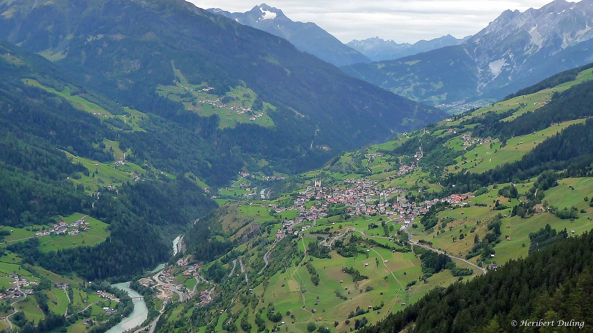
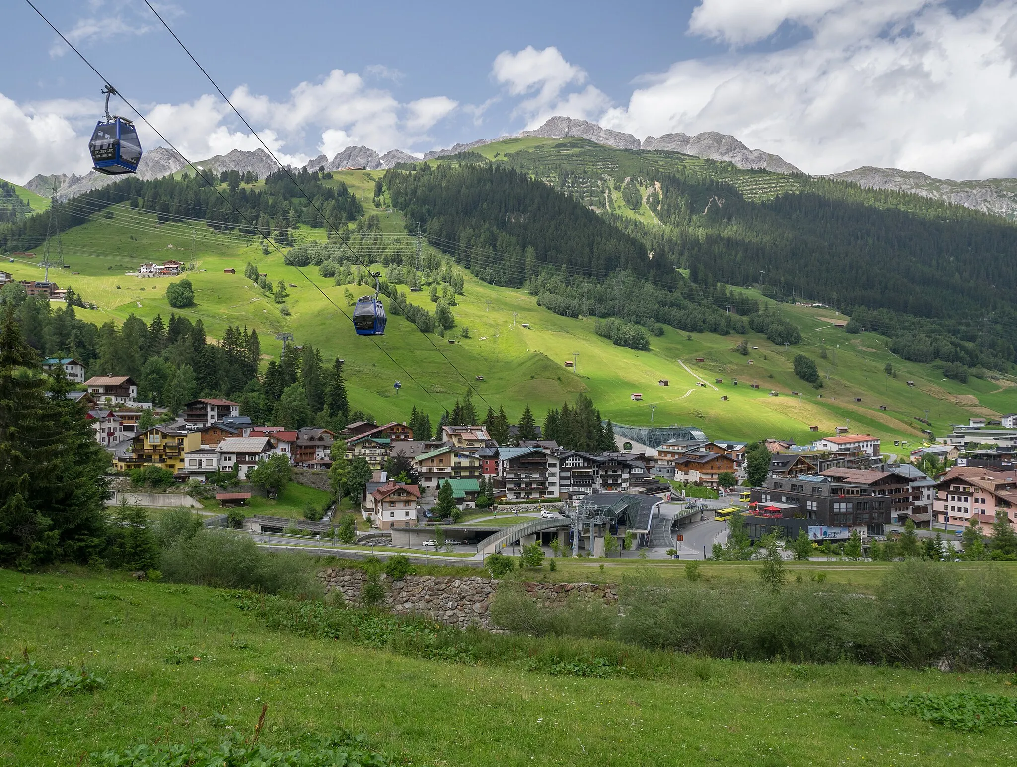
ZamsWioskaMiasto Zams oferuje wiele atrakcji turystycznych.
46 km
46 km
Aussichtshütte AnreitWidokAussichtshütte Anreit to punkt widokowy z panoramą na okolicę.
61 km
61 km
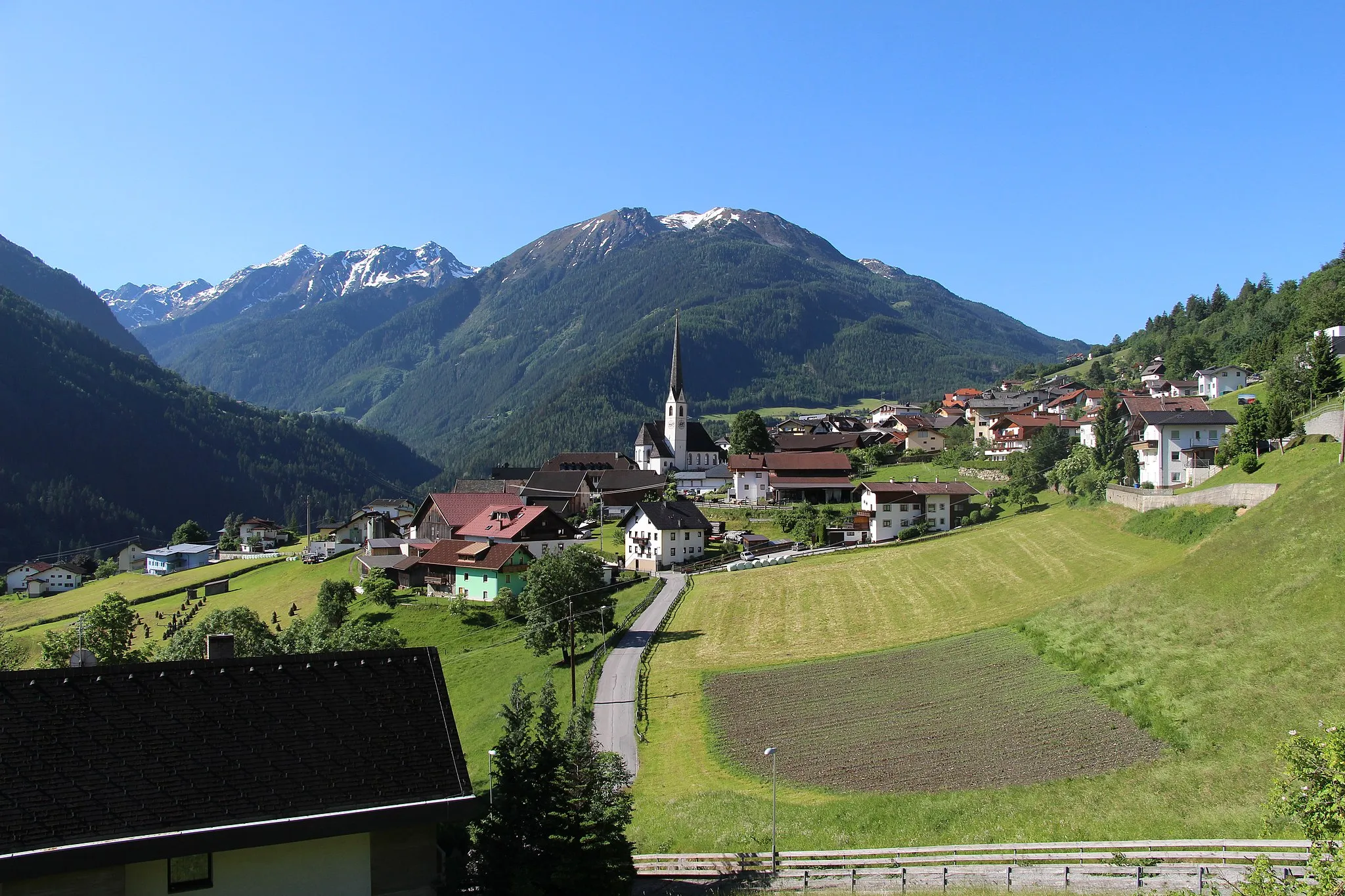
FließWioskaFließ to malownicza miejscowość na trasie.
68 km
68 km
PrutzWioskaPrutz to urokliwa miejscowość na trasie.
85 km
85 km
SpieltennentrumWidokSpieltennentrum zapewnia wiele atrakcji dla rowerzystów.
87 km
87 km
Miejsce docelowe: Pfunds Village centerPfunds: Off-road paradise in the Austrian Alps.
Trasy rowerowe z Pfunds:
Trasa Road Rote Wand Trasa gravelowa przez Pfunds i okoliczne przełęcze Trasa Gravel do Pfunds Trasa Gravel do Rote Wand Trasa gravelowa wokół Pfunds Trasa rowerowa Pfunds - Reschensee Przejażdżka szosowa przez malownicze przełęcze i fort Nauders Trasa Road Norbertshöhe Trasa dookoła Pfunds Podbój górskich szczytów na rowerze szosowym
Trasy rowerowe w okolicy: