Road cycling adventure to Hertvíkovice
Trasa rowerowa o rodzaju road rozpoczynająca się w miejscowości Rudnik
Embark on a thrilling road cycling adventure through picturesque landscapes and charming villages
Mapa
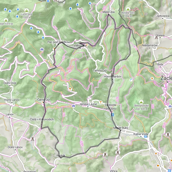
Experience an exhilarating road cycling route of 52 km with 1324 m ascent, passing through Čistá v Krkonoších, Slatinná stráň, Albeřický vrch, Hertvíkovice and more. Discover the beauty of Horní Albeřice, Skalka and the stunning views along the way.
road
52 km
1324 m
Trudna
Profil trasy
Najważniejsze punkty na trasie
0 km
0 km
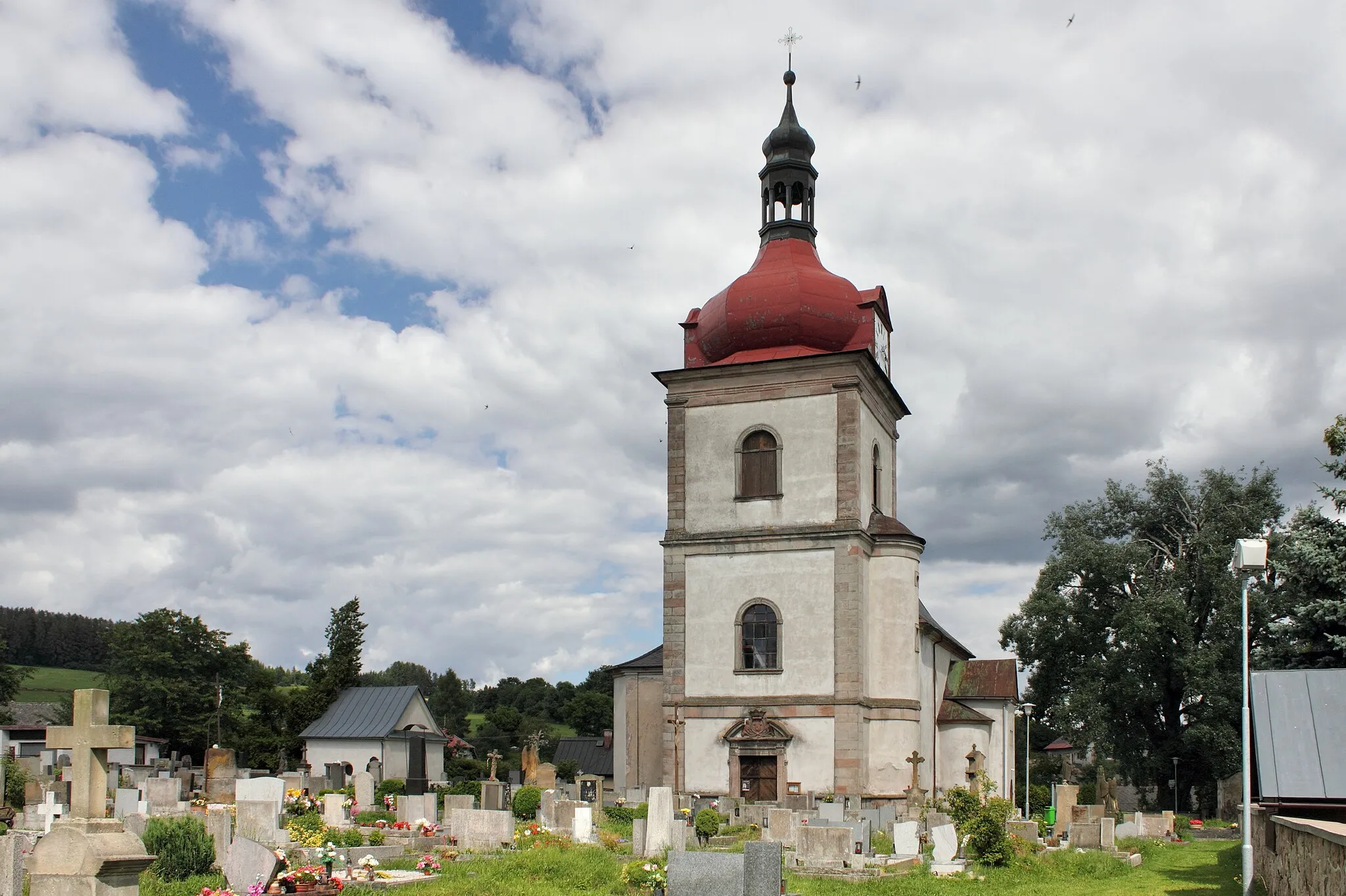
Start: Rudník Village centerRudník: Idealne miejsce do odkrywania pięknych terenów na rowerze.
Rudník to urokliwa miejscowość położona w regionie Severovýchod w Czechach, oferująca piękne widoki i ciekawe trasy rowerowe. Dla miłośników gravelu jest to doskonałe miejsce do eksploracji okolicznych pagórków i leśnych ścieżek. W okolicy znajduje się także wiele atrakcyjnych tras rowerowych dla wszystkich poziomów zaawansowania.5 km
5 km
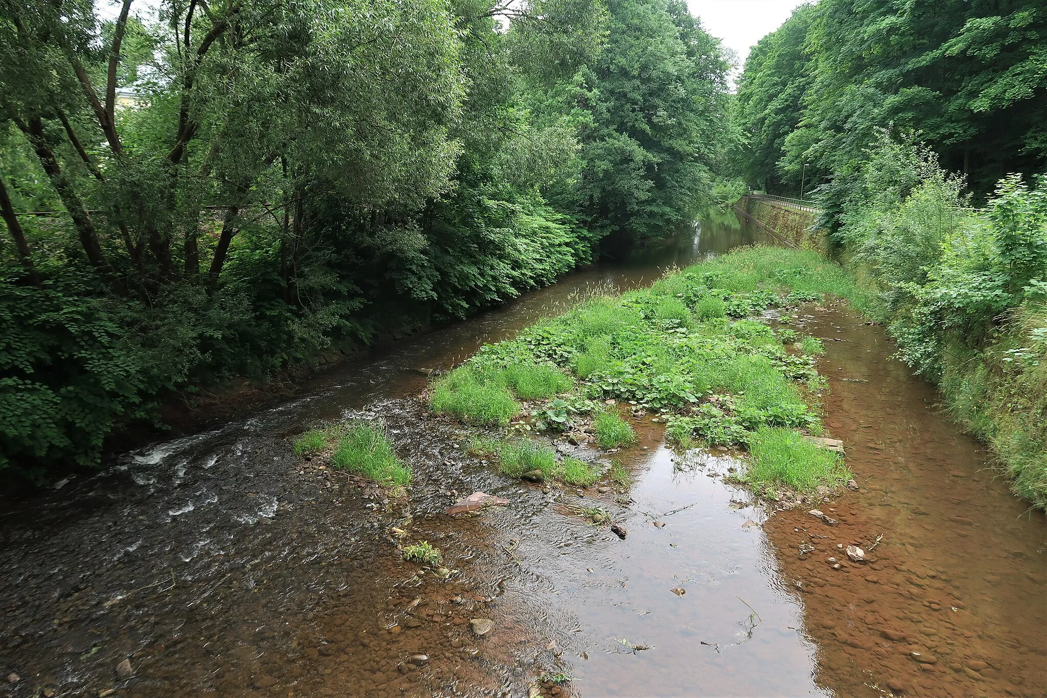
Čistá v KrkonošíchWioskaČistá v Krkonoších is a picturesque town along the route, offering a glimpse into the local culture and history.
13 km
13 km
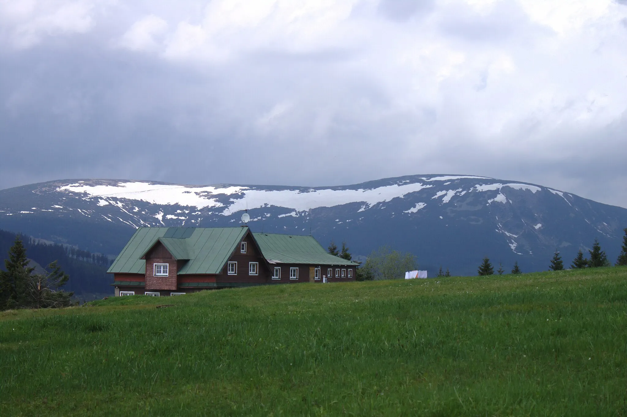
Slatinná stráň1153 mSzczytSlatinná stráň is a natural highlight, with its rugged terrain and stunning views, perfect for nature enthusiasts.
30 km
30 km
Albeřický vrch948 mSzczytAlbeřický vrch is a charming hillside village, surrounded by lush forests and rolling hills, offering a peaceful retreat.
32 km
32 km
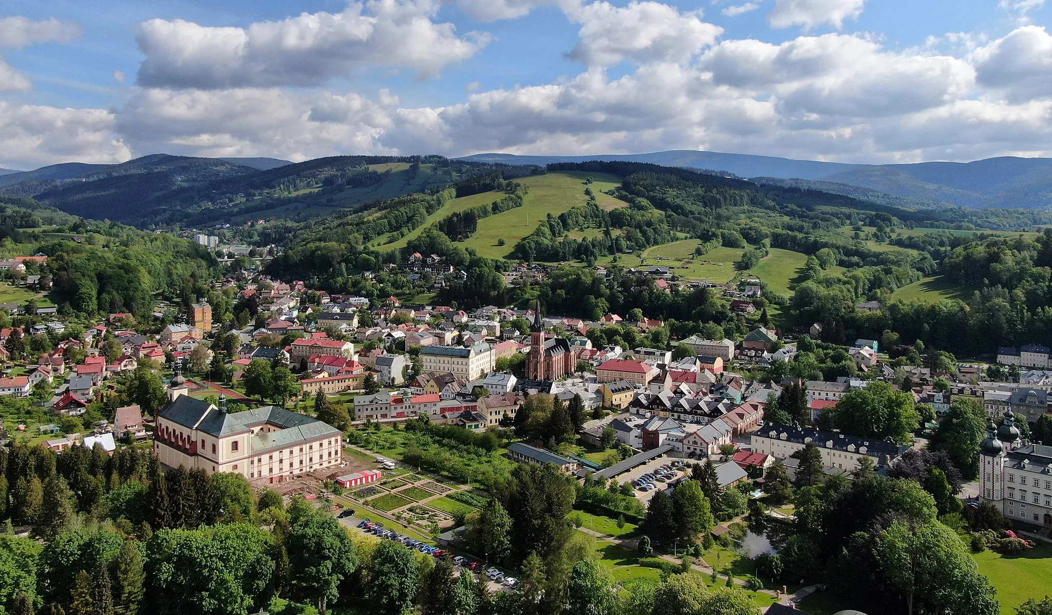
Horní AlbeřiceWioseczkaHorní Albeřice is a quaint village with traditional architecture and friendly locals, making it a perfect stop for a break.
46 km
46 km
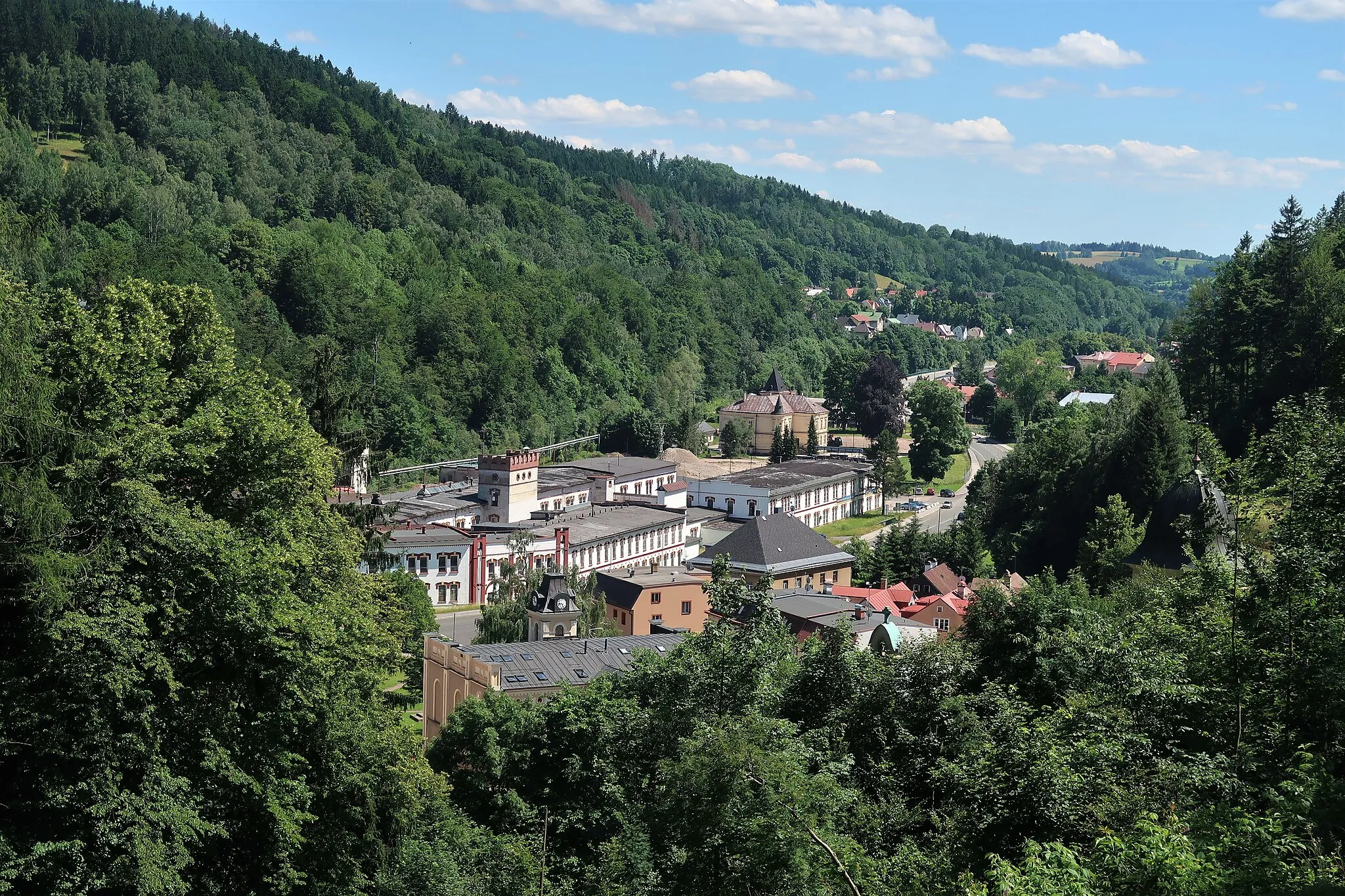
HertvíkoviceWioskaHertvíkovice is a hidden gem, with its historic buildings, winding streets and stunning views of the surrounding countryside.
48 km
48 km
Skalka550 mSzczytSkalka is a unique highlight along the route, known for its rugged terrain, stunning views and rich history.
52 km
52 km
Miejsce docelowe: Rudník Village centerRudník: Idealne miejsce do odkrywania pięknych terenów na rowerze.
Trasy rowerowe z Rudnik:
Trasa Rowerowa do Kovársko Road cycling adventure to Hertvíkovice Trasa gravelowa do Rudníku Trasa Rowerowa do Arnultovice Extreme cycling challenge through mountainous terrain Trasa szosowa przez góry i doliny Trasa Rowerowa do Kamenná Trasa Rowerowa do Nové Kocbeře Wspinaczkowa przygoda w Rudniku Trasa Rowerowa do Dolní Lysečiny
Trasy rowerowe w okolicy: