Trasa Gravel przez okolice Villelaure
Trasa rowerowa o rodzaju gravel rozpoczynająca się w miejscowości Villelaure
Przejażdżka pełna pięknych krajobrazów i urokliwych wiosek
Mapa

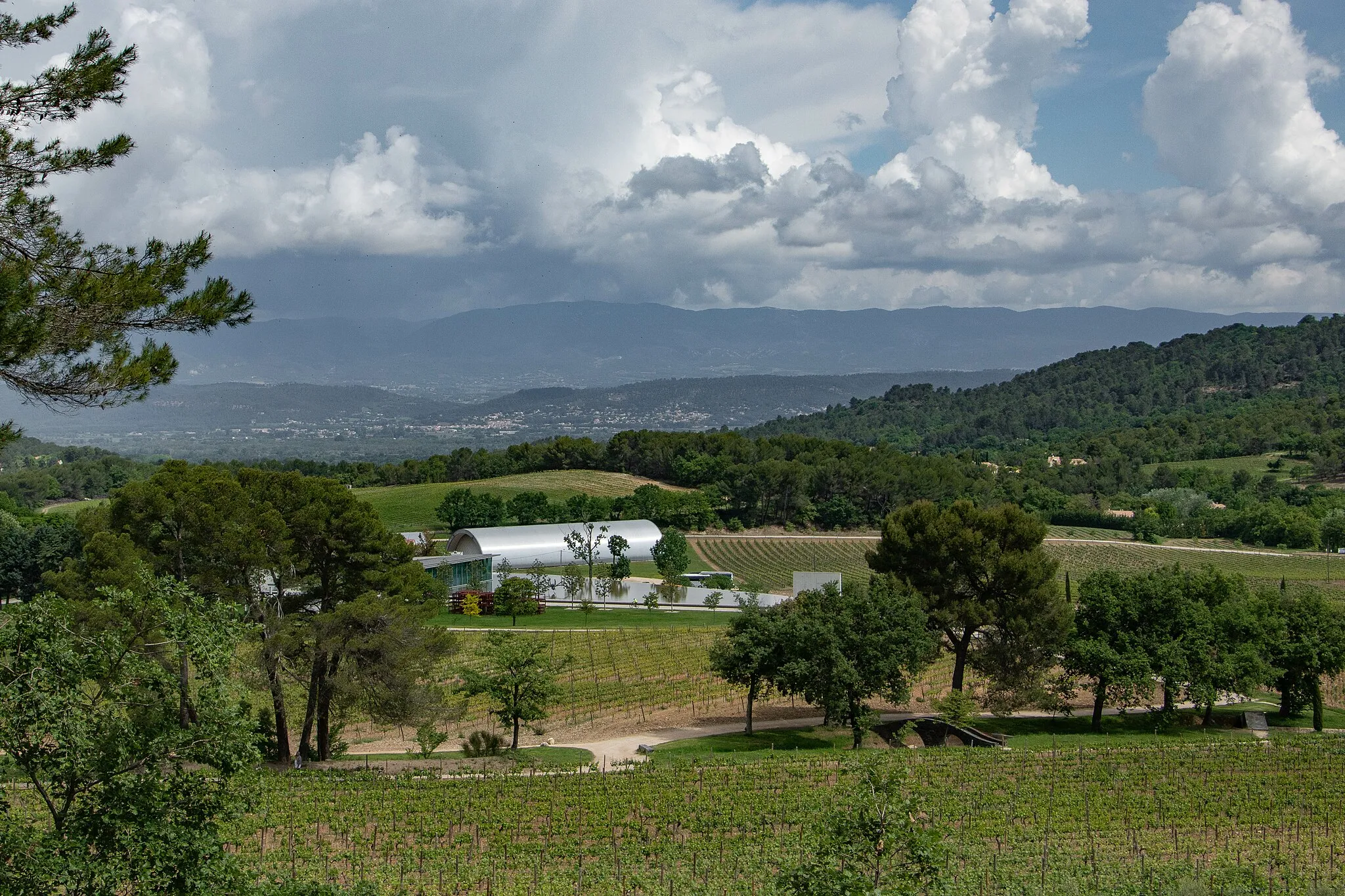
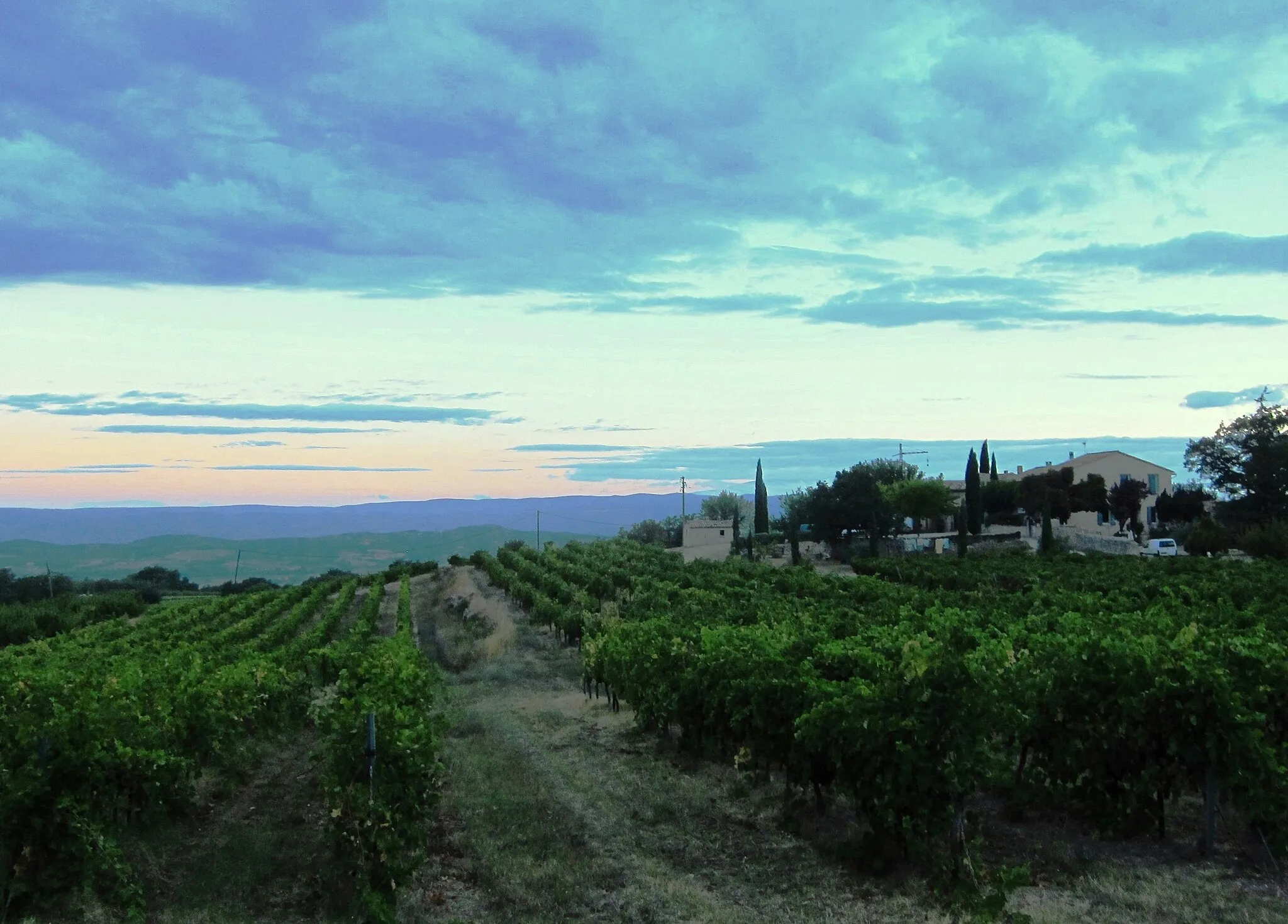
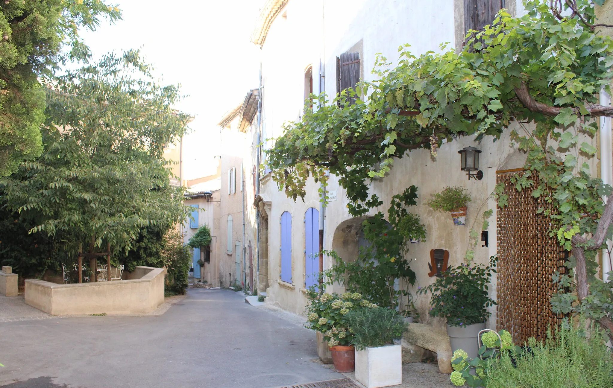
Ta trasa gravelowa przeprowadzi Cię przez malownicze okolice Villelaure, z mnóstwem urokliwych wiosek i punktów widokowych. Podziwiaj piękno Vaugines i Saignon, zatrzymaj się na chwilę w Rustrel, a następnie odwiedź urokliwą wioskę Viens. Céreste, Boufaou i Saint-Martin-de-la-Brasque to kolejne miejsca, które zachwycą Cię swoim urokiem.
gravel
95 km
2588 m
Wyrypa
Profil trasy
Najważniejsze punkty na trasie
0 km
0 km
Start: Villelaure Village centerVillelaure: Rowerowe trasy w urokliwym miasteczku Villelaure
Villelaure jest uroczym miasteczkiem w regionie Prowansja-Alpy-Lazurowe Wybrzeże, z malowniczymi uliczkami idealnymi do odkrywania na rowerze. Okolica oferuje wiele pięknych tras zarówno dla szosowych jak i gravelowych rowerzystów. Niedaleko znajdują się słynne Góry Smocze, idealne dla amatorów wyzwań.0 km
0 km
VillelaureWioskaCharming village with rich history and beautiful surroundings.
15 km
15 km
VauginesWioskaScenic beauty of Vaugines and its surroundings.
29 km
29 km
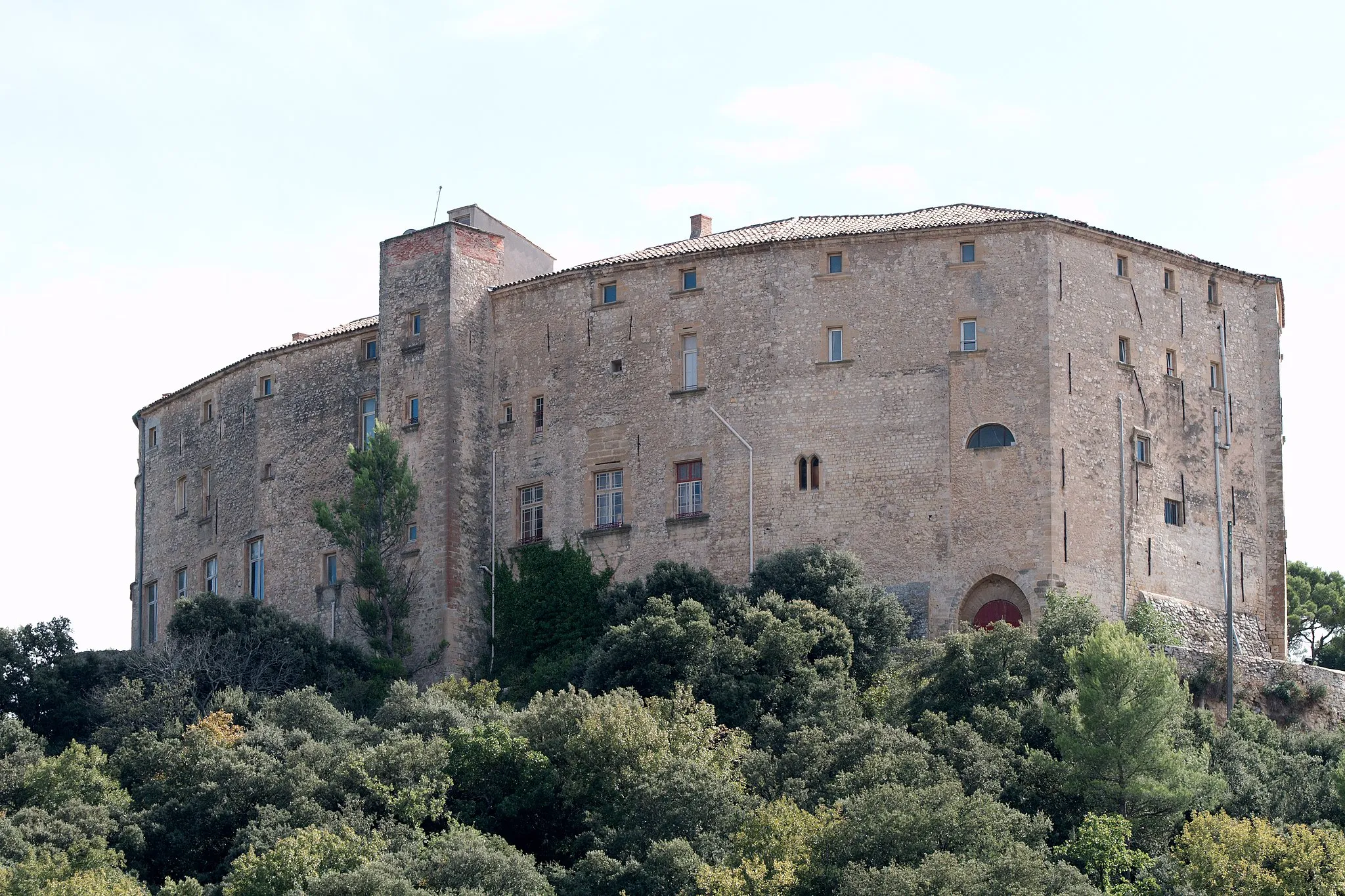
SaignonWioskaExplore the charming village of Saignon and its attractions.
41 km
41 km
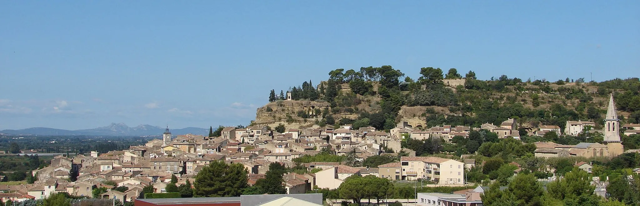
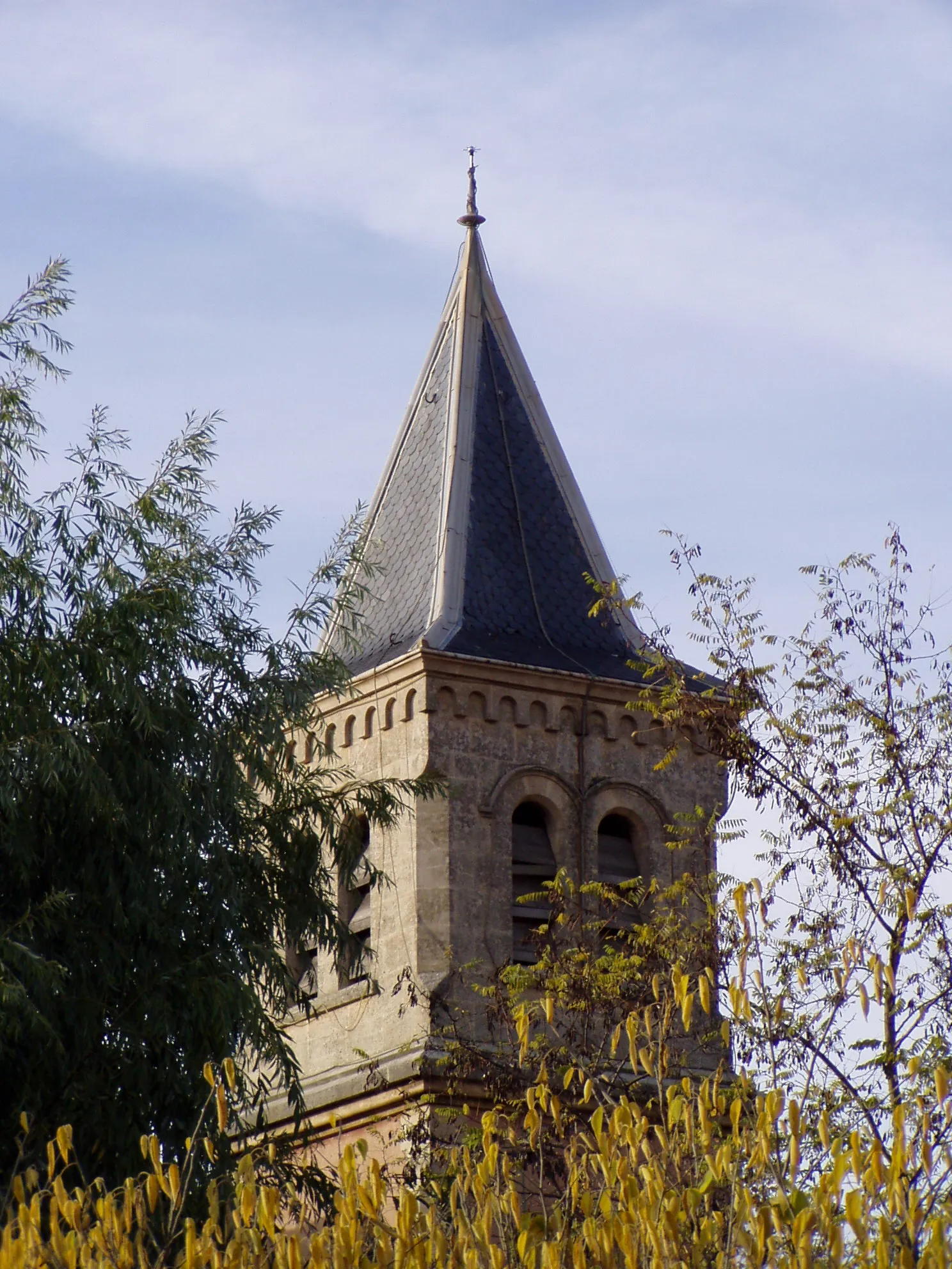
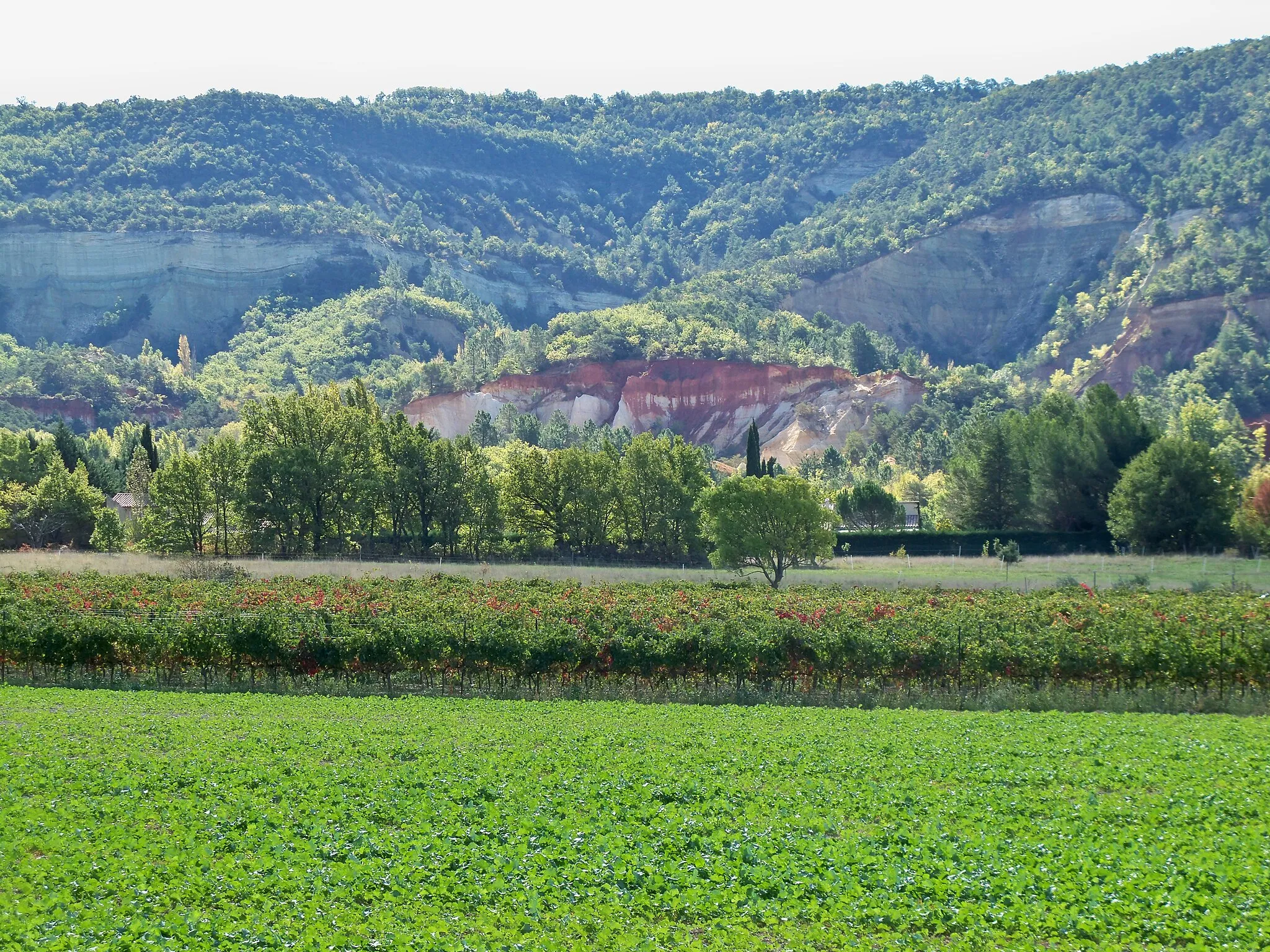
RustrelWioskaVisit the picturesque town of Rustrel and its hidden gems.
42 km
42 km
Le Pointu872 mSzczytDiscover the unique charm of Le Pointu and its surroundings.
56 km
56 km
ViensWioskaExplore the beauty of Viens and its surroundings.
64 km
64 km
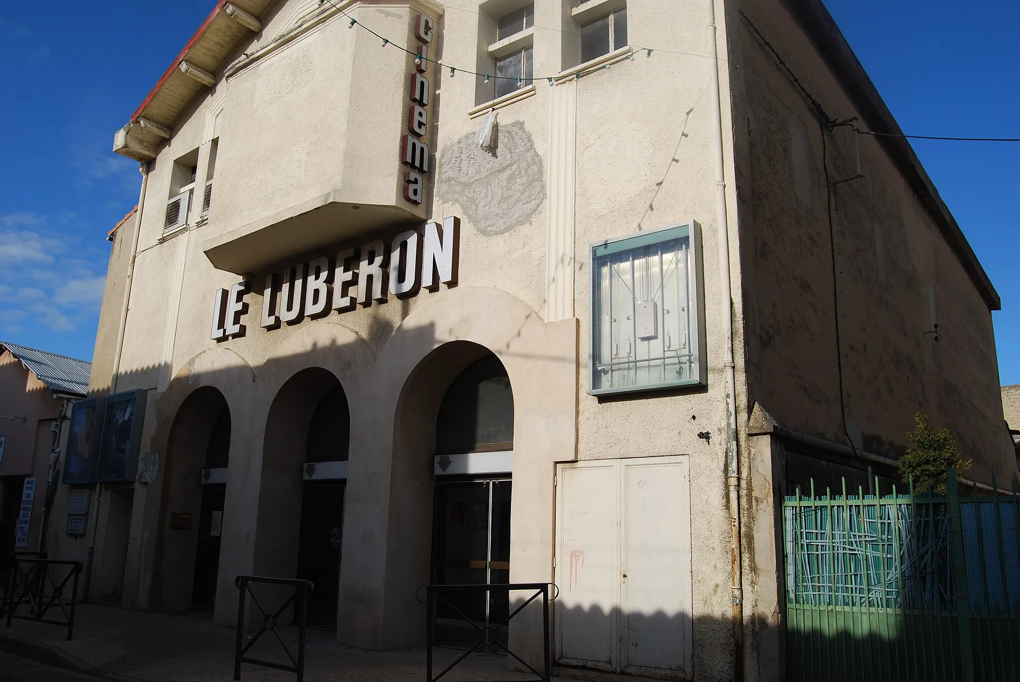
CéresteWioskaScenic beauty of Céreste and its surroundings.
71 km
71 km
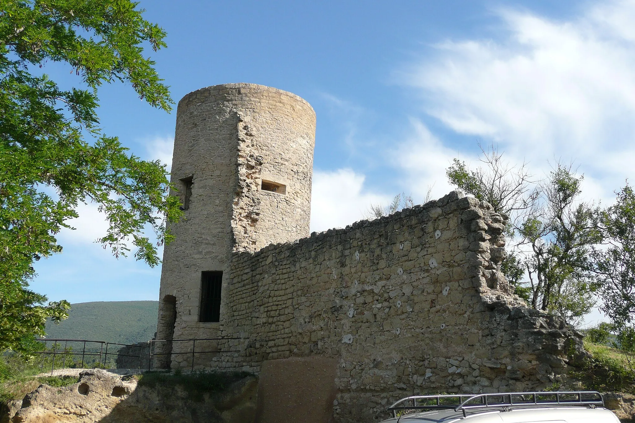
Boufaou834 mSzczytCharming village of Boufaou with its unique attractions.
80 km
80 km
Saint-Martin-de-la-BrasqueWioskaDiscover the beauty of Saint-Martin-de-la-Brasque and its hidden gems.
90 km
90 km
AnsouisWioskaExplore the charming village of Ansouis and its unique attractions.
95 km
95 km
Miejsce docelowe: Villelaure Village centerVillelaure: Rowerowe trasy w urokliwym miasteczku Villelaure
Trasy rowerowe z Villelaure:
Wycieczka do Buoux Trasa Gravel przez okolice Villelaure Trasa Gravel do Villelaure Trasa do Cucuron Trasa Gravel przez okolice Villelaure Trasa Road w okolicach Villelaure Wyprawa do Cirque de Barriès Trasa do Château de la reine Laure Przejażdżka do Pertuis Trasa Villelaure - Cadenet Trasa gravelowa przez Lourmarin i Apt Trasa przez Ansouis i Tour Saint-Jacques Trasa przez Rians i Ollières Trasa przez Aix-en-Provence i Bouc-Bel-Air Trasa przez Lambesc i Cavaillon Trasa Villelaure - Cadenet
Trasy rowerowe w okolicy: