Trasa Gravel do Villelaure
Trasa rowerowa o rodzaju gravel rozpoczynająca się w miejscowości Villelaure
Przejażdżka pełna pięknych widoków i urokliwych miejsc
Mapa
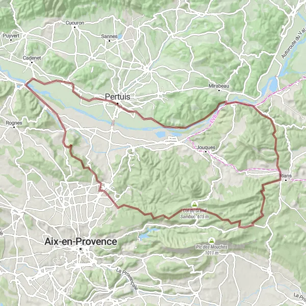
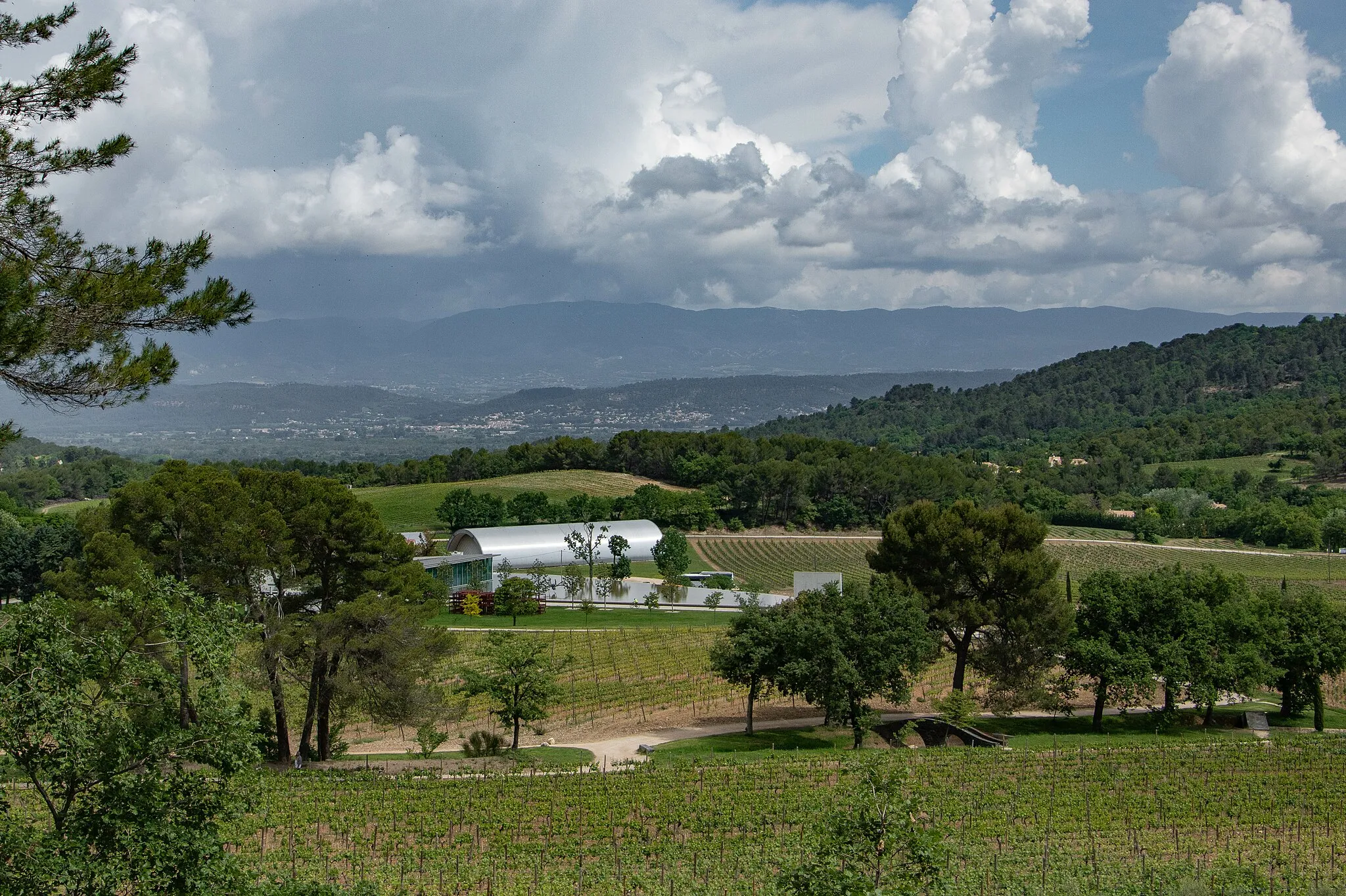
W tej długiej trasie będą czekały na Ciebie liczne wyzwania i niesamowite punkty widokowe. Zobacz magiczny zamek w Pertuis, przekonaj się o urokach Durance podczas przemierzania starożytnego mostu Mirabeau i odwiedź malownicze miasteczka Saint-Paul-lez-Durance i Rians. Ogród botaniczny w Venelles oraz widok z punktu orientacyjnego to tylko niektóre z atrakcji na tej trasie.
gravel
98 km
1163 m
Trudna
Profil trasy
Najważniejsze punkty na trasie
0 km
0 km
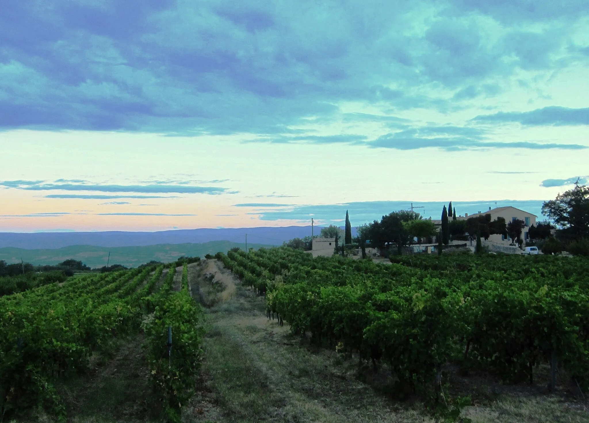
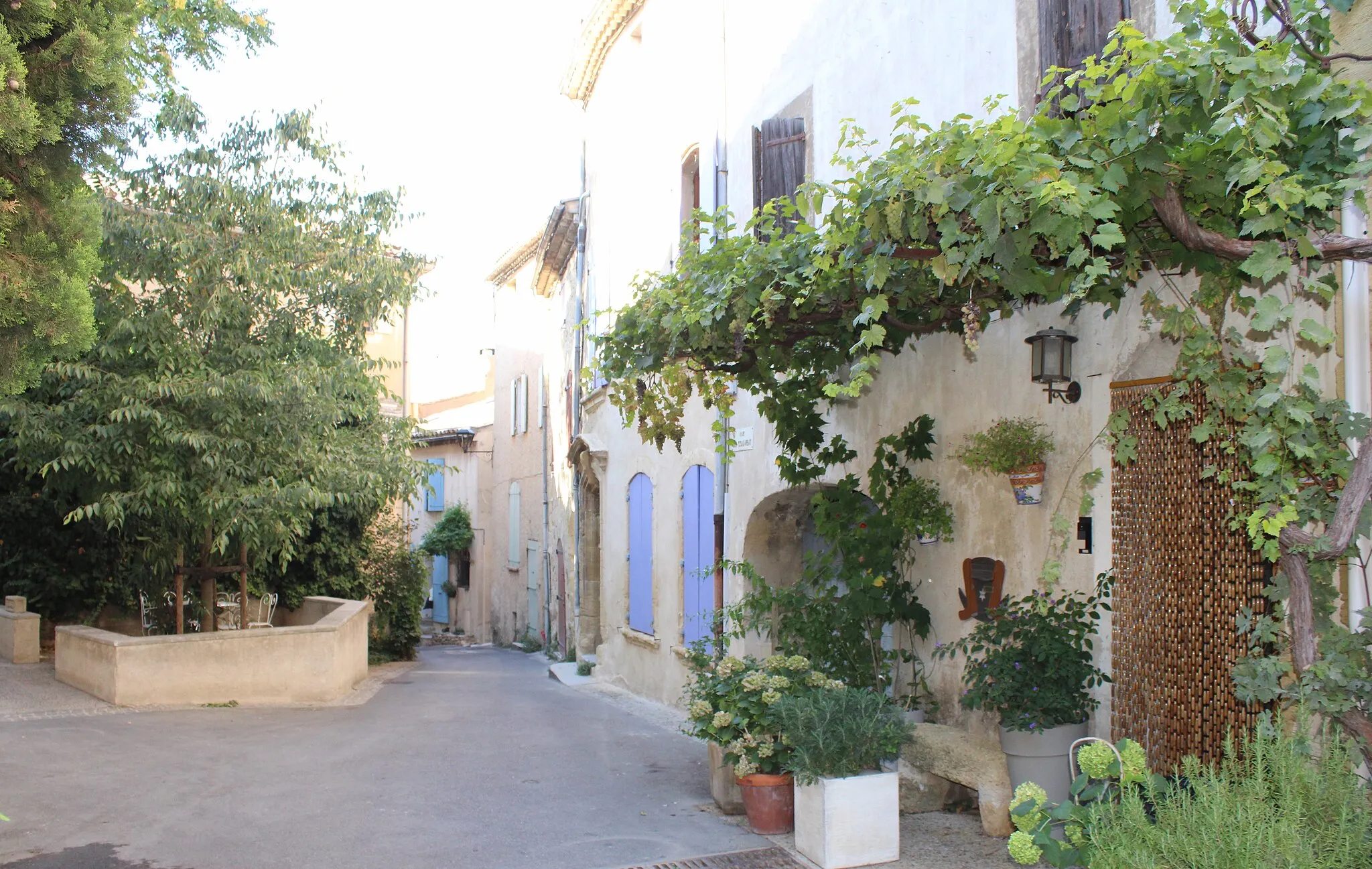
Start: Villelaure Village centerVillelaure: Rowerowe trasy w urokliwym miasteczku Villelaure
Villelaure jest uroczym miasteczkiem w regionie Prowansja-Alpy-Lazurowe Wybrzeże, z malowniczymi uliczkami idealnymi do odkrywania na rowerze. Okolica oferuje wiele pięknych tras zarówno dla szosowych jak i gravelowych rowerzystów. Niedaleko znajdują się słynne Góry Smocze, idealne dla amatorów wyzwań.7 km
7 km
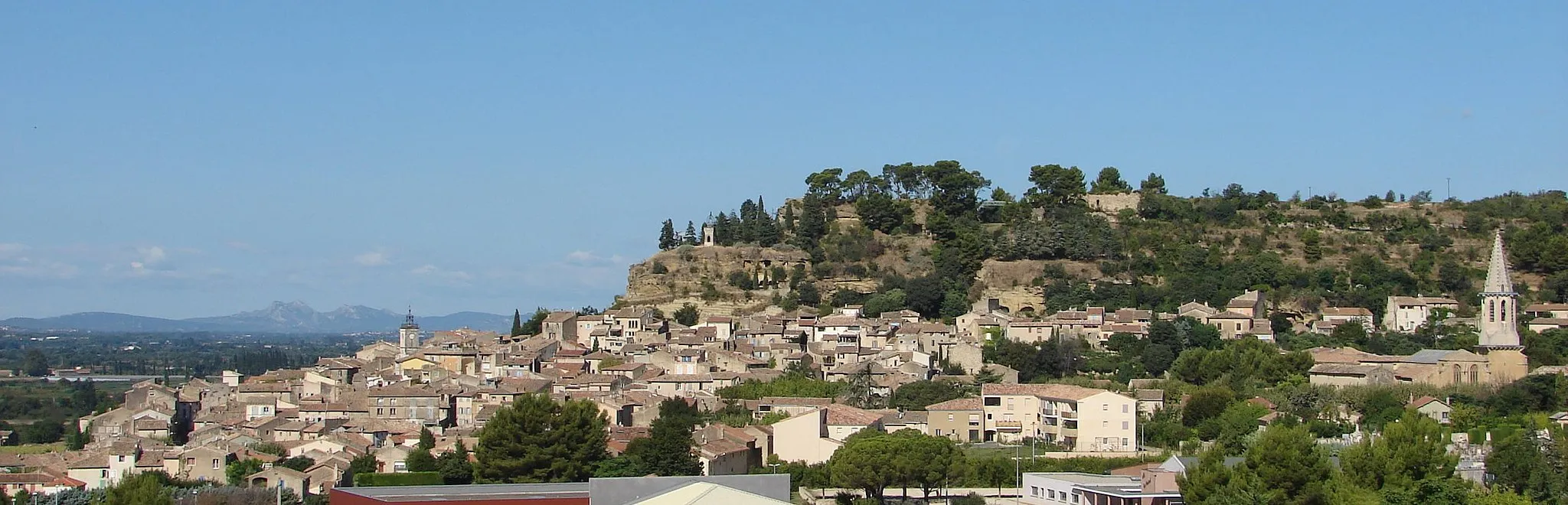
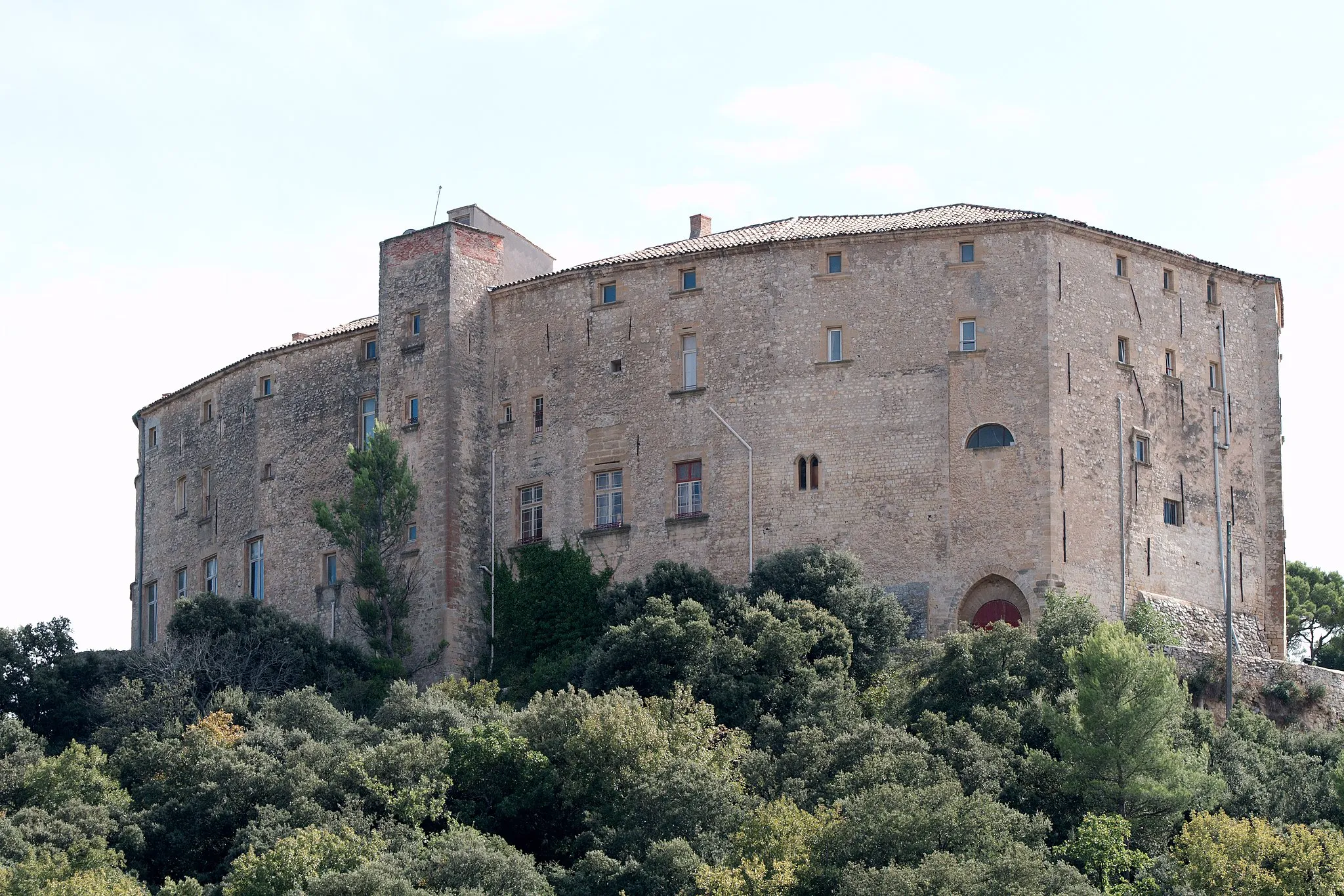
PertuisMiastoMagical castle in Pertuis and picturesque town of Rians.
24 km
24 km
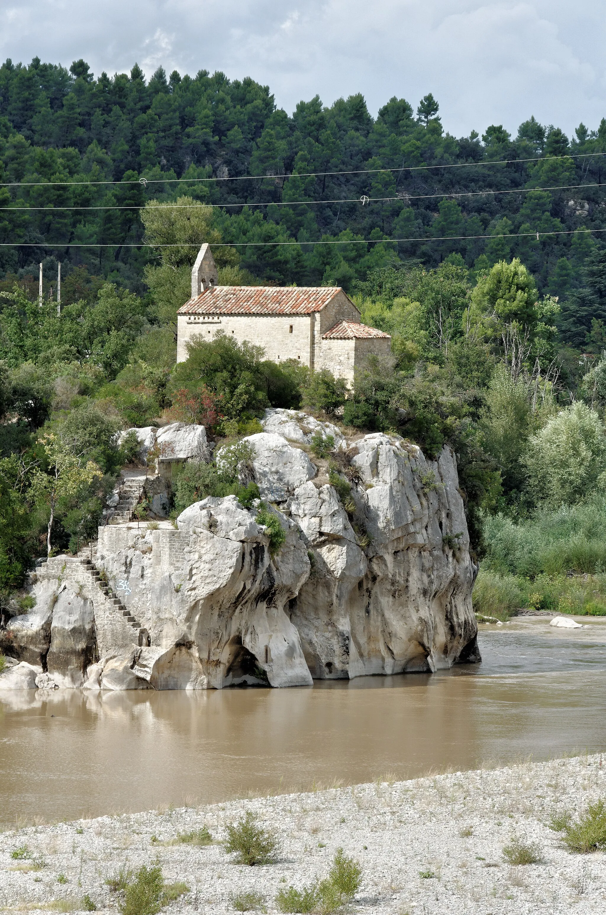
Durance -ancien Pont de MirabeauWidokAncient Mirabeau Bridge over Durance River.
27 km
27 km
Saint-Paul-lez-DuranceWioskaCharming village of Saint-Paul-lez-Durance.
38 km
38 km
RiansWioskaBotanical garden in Venelles and panoramic view from the orientation table.
54 km
54 km
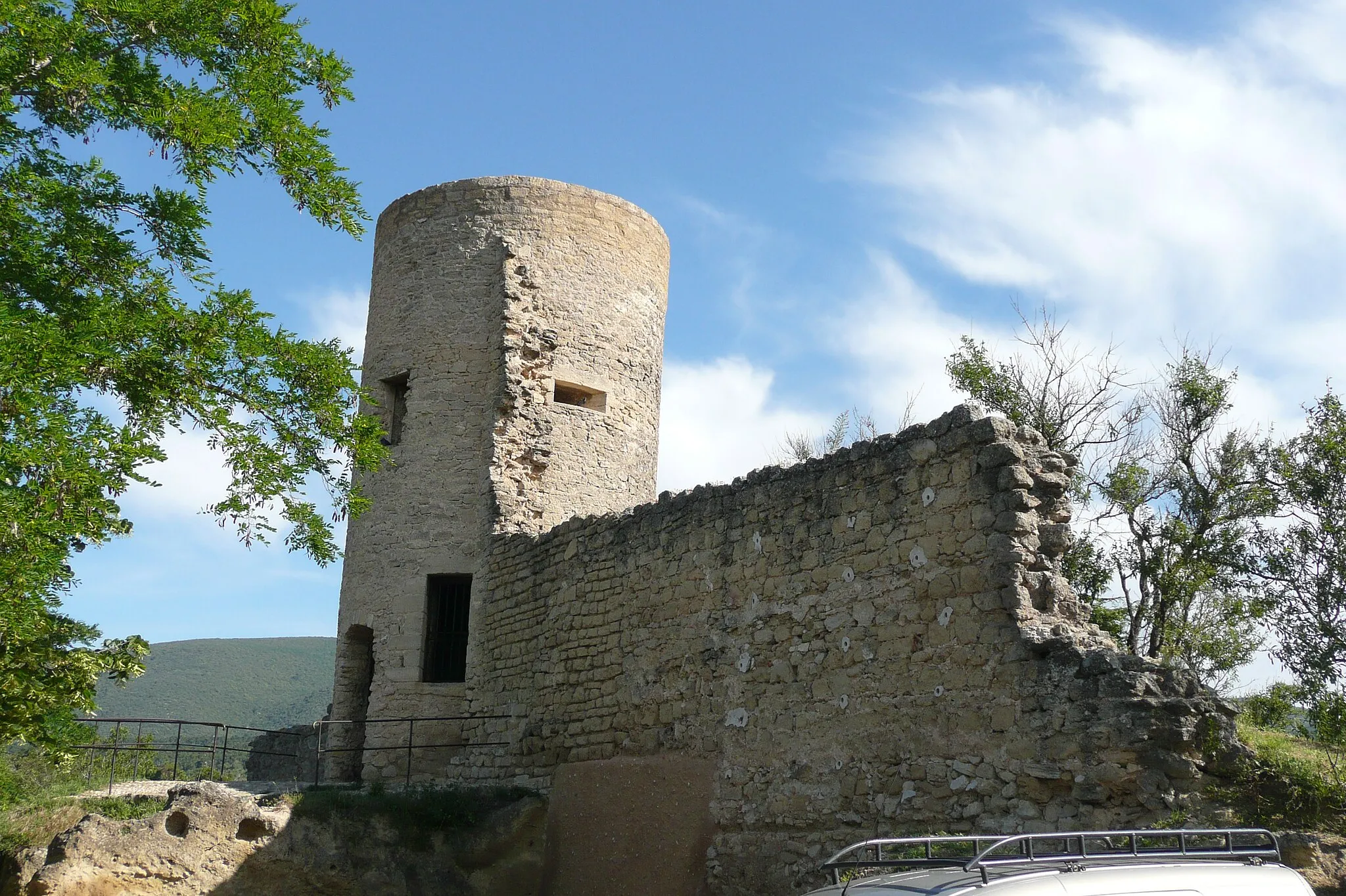
La citadelle720 mSzczytThe citadel with stunning views over the surroundings.
73 km
73 km
VenellesWioskaHistoric sites and beautiful landscape in the region.
81 km
81 km
Table d'orientationWidokGet a bird's eye view of the area from the orientation table.
98 km
98 km
VillelaureWioskaCharming village with rich history and beautiful surroundings.
98 km
98 km
Miejsce docelowe: Villelaure Village centerVillelaure: Rowerowe trasy w urokliwym miasteczku Villelaure
Trasy rowerowe z Villelaure:
Wycieczka do Buoux Trasa Gravel przez okolice Villelaure Trasa Gravel do Villelaure Trasa do Cucuron Trasa Gravel przez okolice Villelaure Trasa Road w okolicach Villelaure Wyprawa do Cirque de Barriès Trasa do Château de la reine Laure Przejażdżka do Pertuis Trasa Villelaure - Cadenet Trasa gravelowa przez Lourmarin i Apt Trasa przez Ansouis i Tour Saint-Jacques Trasa przez Rians i Ollières Trasa przez Aix-en-Provence i Bouc-Bel-Air Trasa przez Lambesc i Cavaillon Trasa Villelaure - Cadenet
Trasy rowerowe w okolicy: