Pradoluengo - Scenic Gravel Cycling Route
Trasa rowerowa o rodzaju gravel rozpoczynająca się w miejscowości Pradoluengo
Embark on an off-road adventure through the rugged terrain near Pradoluengo on this gravel cycling route.
Mapa
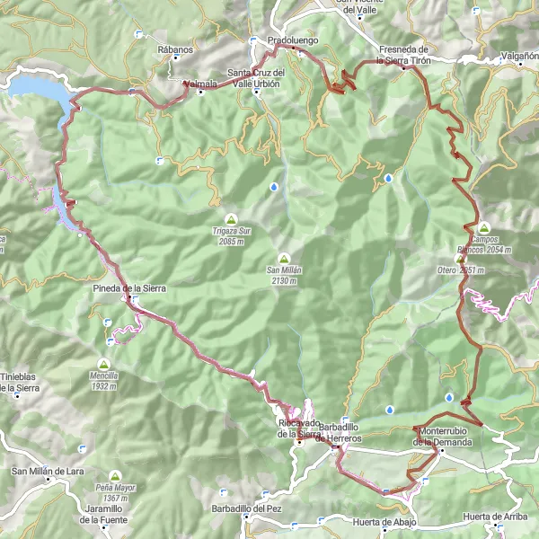
With a total ascent of 2437m, this 96 km gravel cycling route offers a thrilling experience for cyclists looking to push their limits. Highlights along the route include Anyuela, Pineda de la Sierra, and Cerro de las Veneras, providing a mix of challenging terrain and stunning landscapes. This route is perfect for cyclists seeking an adrenaline-packed journey in the heart of nature.
gravel
96 km
2437 m
Trudna
Profil trasy
Najważniejsze punkty na trasie
0 km
0 km
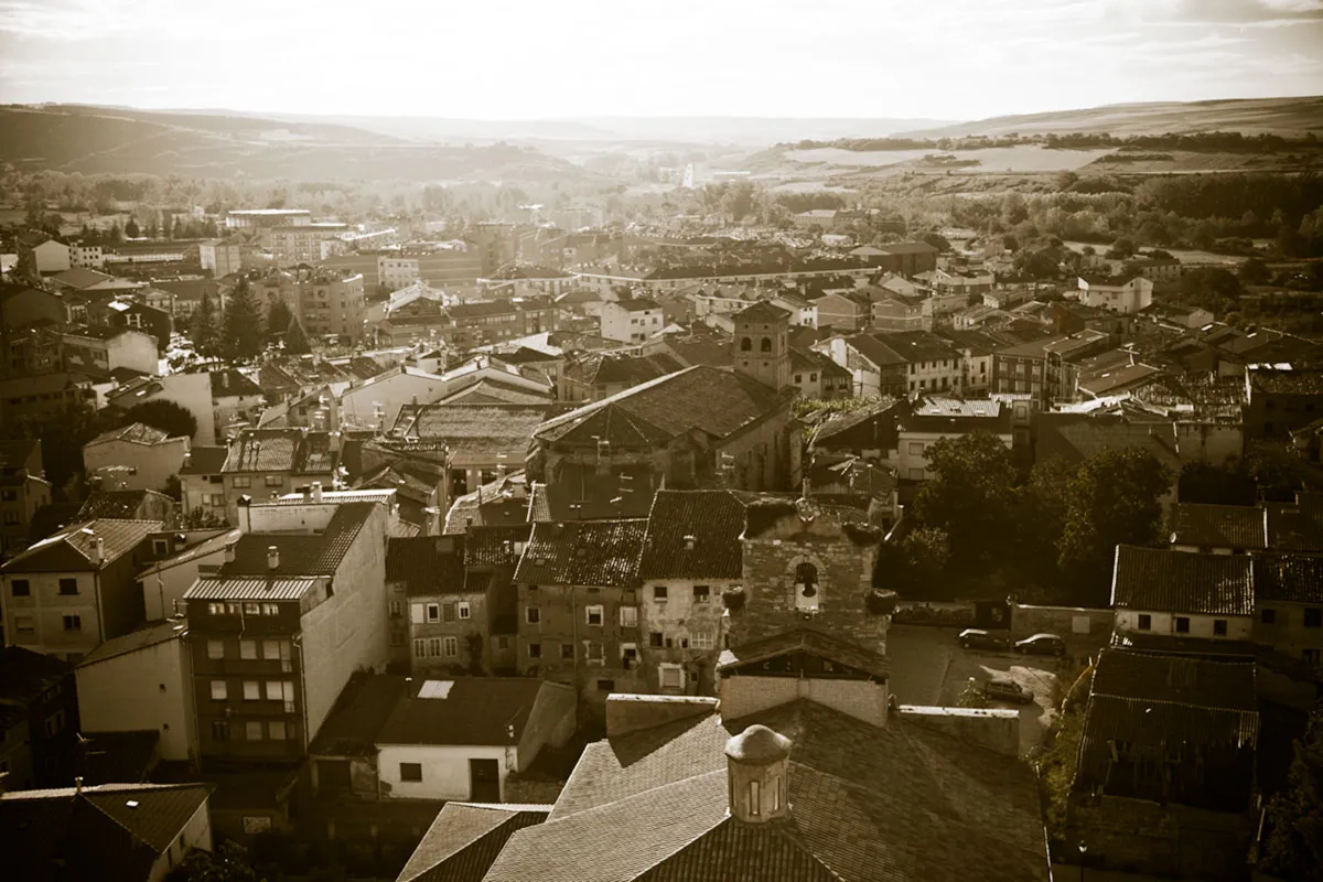
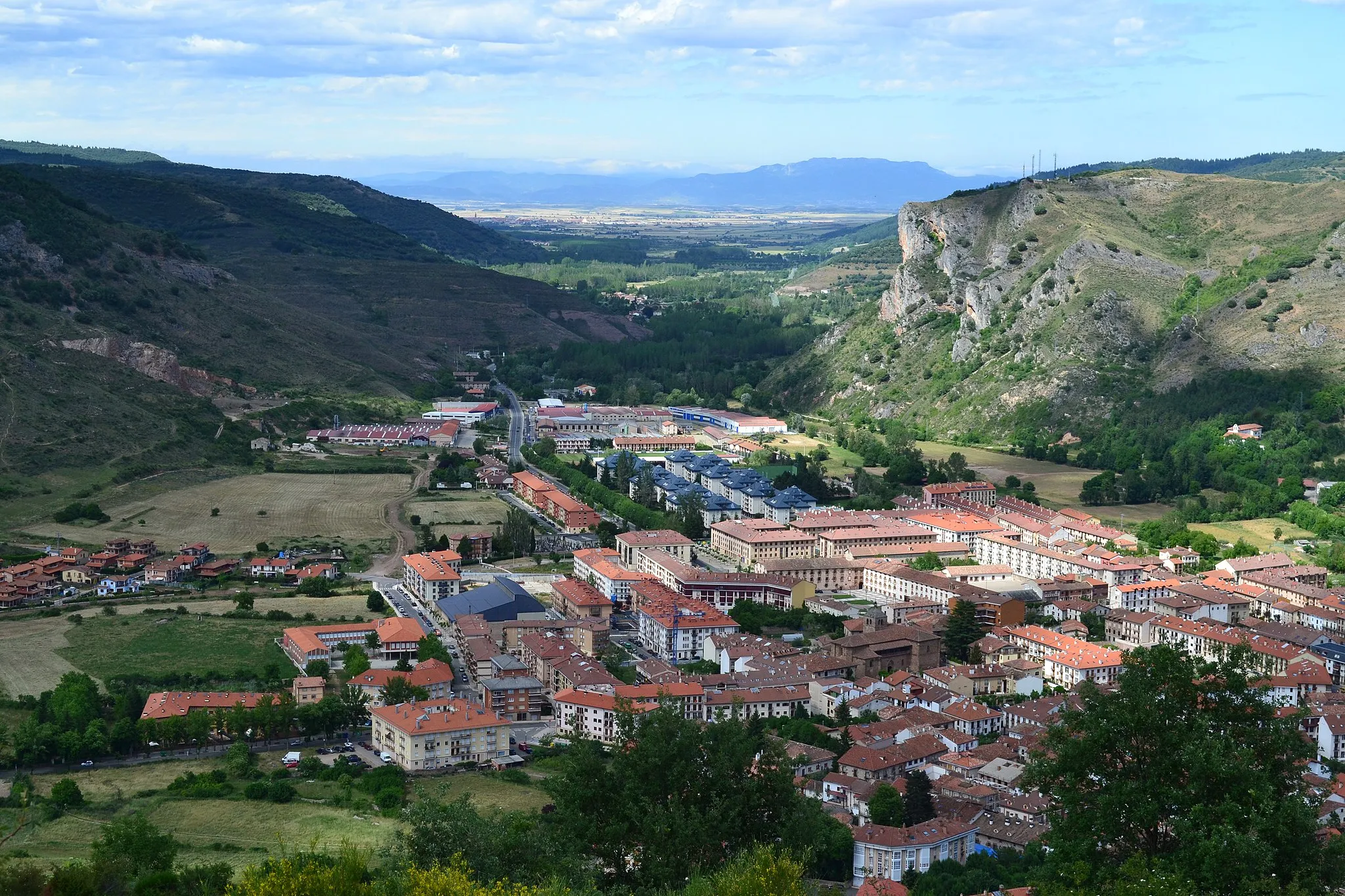
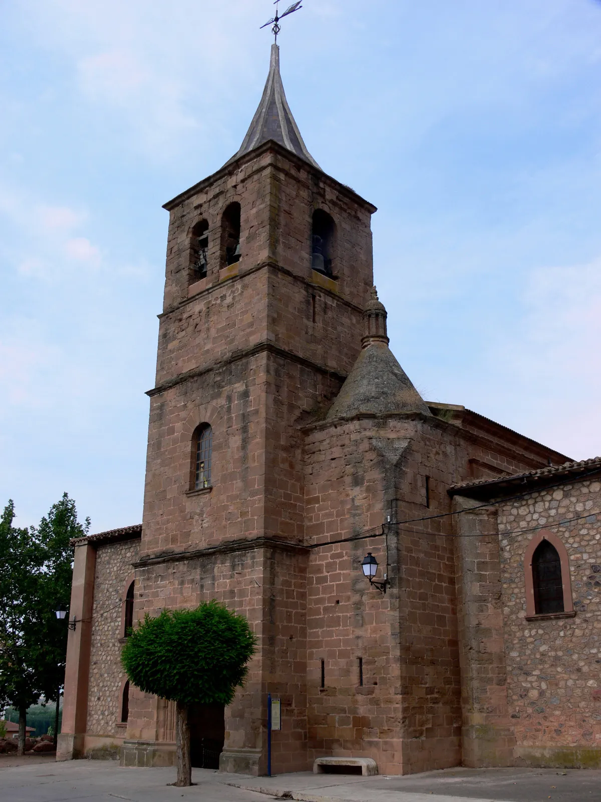
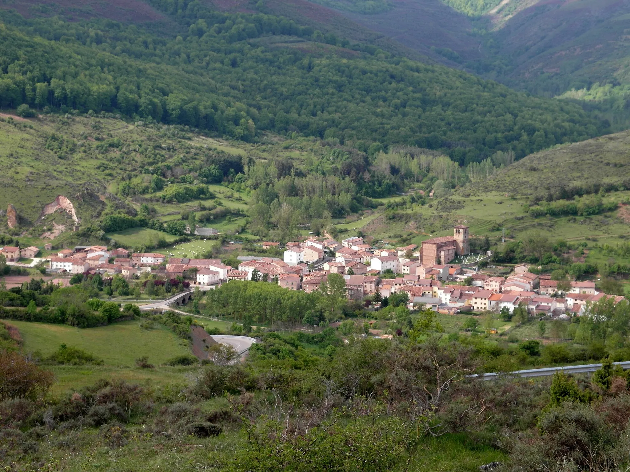
Start: Pradoluengo Village centerPradoluengo: Idealna lokalizacja do odkrywania szutrowych tras rowerowych w Pradoluengo.
Pradoluengo to urocza miejscowość, idealna jako baza wypadowa do odkrywania okolicznych szutrowych tras rowerowych. W okolicy znajdują się ciekawe ścieżki rowerowe oraz historyczne atrakcje, które przyciągają zarówno rowerzystów, jak i turystów.6 km
6 km
Anyuela1429 mSzczytAnyuela is a hidden gem with rugged trails and rocky terrain, offering a thrilling off-road experience for adventurous cyclists.
11 km
11 km
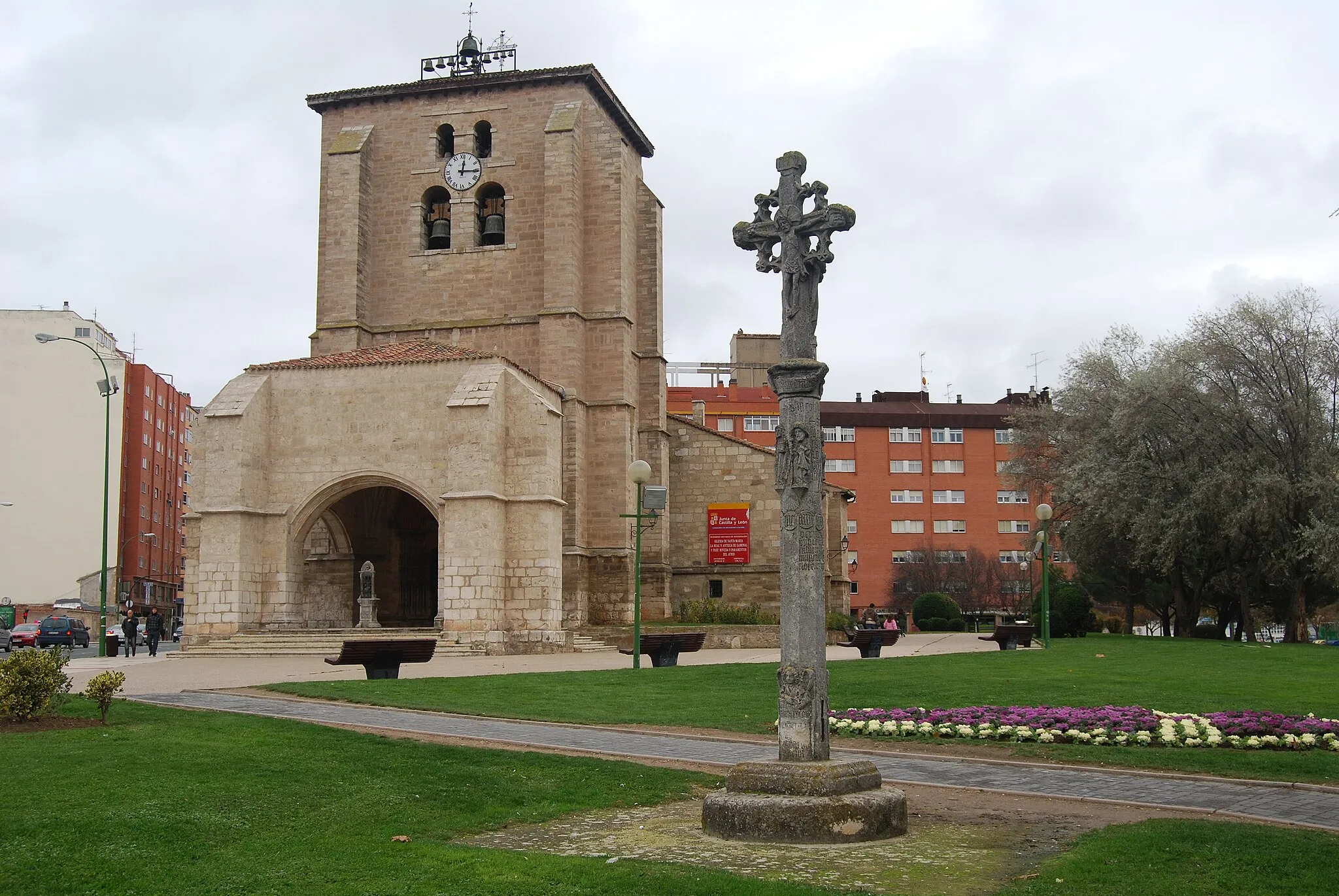
Fresneda de la Sierra TirónWioskaFresneda de la Sierra Tirón is a picturesque village surrounded by mountains and forests, providing a peaceful retreat for cyclists to unwind and enjoy the tranquility of nature.
27 km
27 km
Otero2051 mSzczytOtero is a remote hamlet with a rugged landscape and challenging trails, making it an ideal spot for experienced off-road cyclists looking for a technical challenge.
39 km
39 km
Cerro de las Veneras1554 mSzczytCerro de las Veneras is a rocky hill with stunning views of the surrounding countryside, offering a rewarding climb for cyclists seeking epic vistas.
68 km
68 km
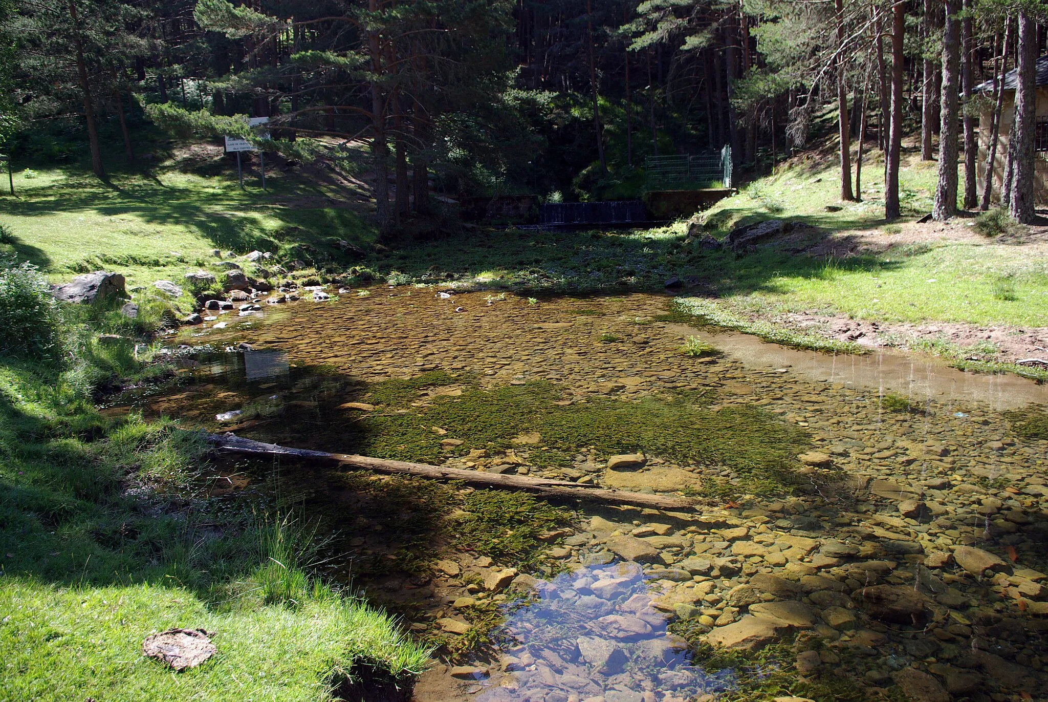
Pineda de la SierraWioskaPineda de la Sierra is a charming village with traditional stone houses and narrow streets, providing a glimpse into the region's rural life and culture.
84 km
84 km
AlarciaWioseczkaAlarcia is a quaint village surrounded by lush greenery and rolling hills, offering a peaceful setting for cyclists to relax and enjoy the beauty of the countryside.
86 km
86 km
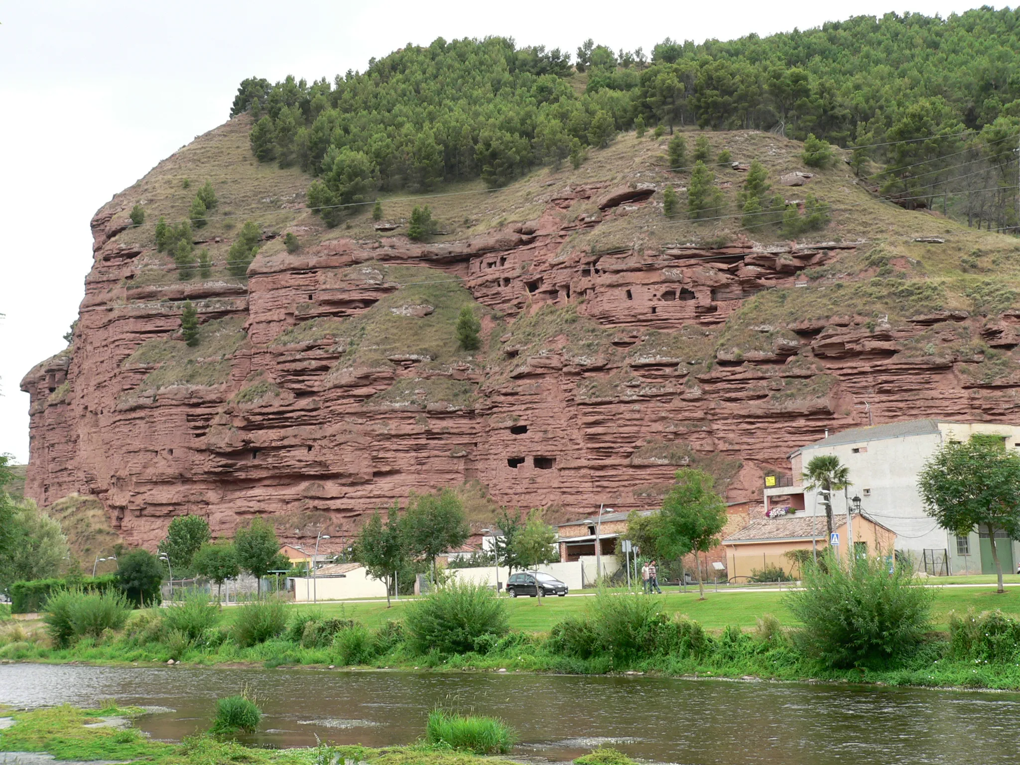
Cabeza de San Medel1262 mSzczytCabeza de San Medel is a historic site with ancient ruins and scenic views, making it a fascinating stop for cyclists interested in the region's cultural heritage.
96 km
96 km
Miejsce docelowe: Pradoluengo Village centerPradoluengo: Idealna lokalizacja do odkrywania szutrowych tras rowerowych w Pradoluengo.
Trasy rowerowe z Pradoluengo:
Trasa gravelowa przez Grañón i Fresneda de la Sierra Tirón Trasa przez Briviesca i Ezcaray Trasy wokół Pradoluengo Pradoluengo - Distinctive Road Cycling Route Tour de Bureba Poznaj Uroki Villambistia Przejażdżka przez Pełne Wyjątkowych Widoków Road Adventure in Castilla y León Pradoluengo - Scenic Gravel Cycling Route Trasa rowerowa przez Valmala i Pinilla de los Moros
Trasy rowerowe w okolicy: