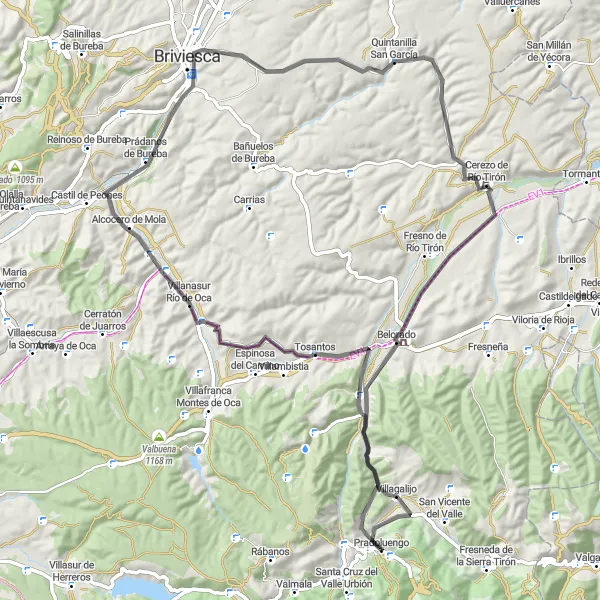
Tour de Bureba
Trasa rowerowa o rodzaju road rozpoczynająca się w miejscowości Pradoluengo
Explore the scenic beauty of Bureba region on this road cycling route.
Mapa
From Peña Tejada to Villagalijo, this route takes you through charming villages and beautiful landscapes. Pass by the historic town of Belorado and enjoy the peaceful atmosphere of Quintanilla San García. Don't miss the opportunity to visit Prádanos de Bureba and soak in the cultural richness of this region.
road
85 km
706 m
Trudna
Profil trasy
Najważniejsze punkty na trasie
0 km
0 km
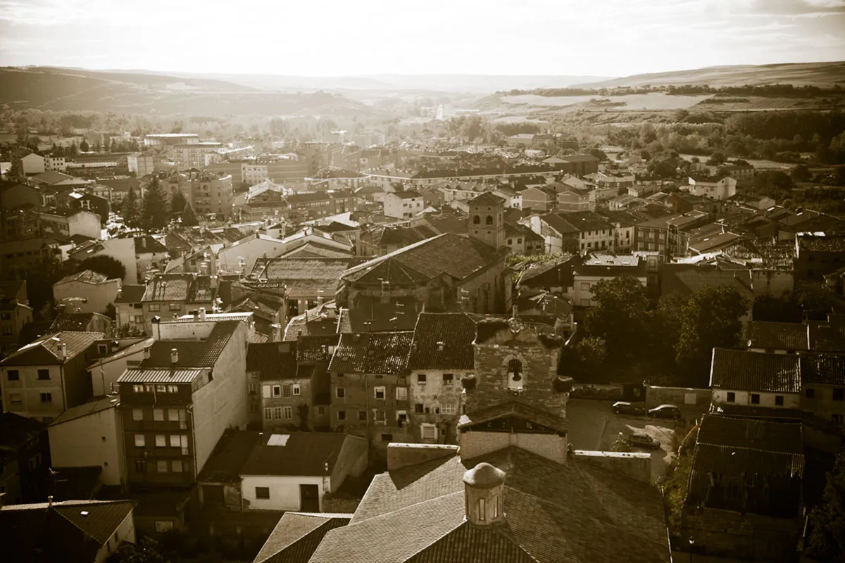
Start: Pradoluengo Village centerPradoluengo: Idealna lokalizacja do odkrywania szutrowych tras rowerowych w Pradoluengo.
Pradoluengo to urocza miejscowość, idealna jako baza wypadowa do odkrywania okolicznych szutrowych tras rowerowych. W okolicy znajdują się ciekawe ścieżki rowerowe oraz historyczne atrakcje, które przyciągają zarówno rowerzystów, jak i turystów.1 km
1 km
Peña Tejada1114 mSzczytMarvel at the stunning views from Peña Tejada and enjoy the natural beauty around you.
14 km
14 km
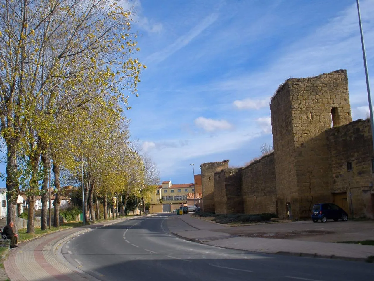
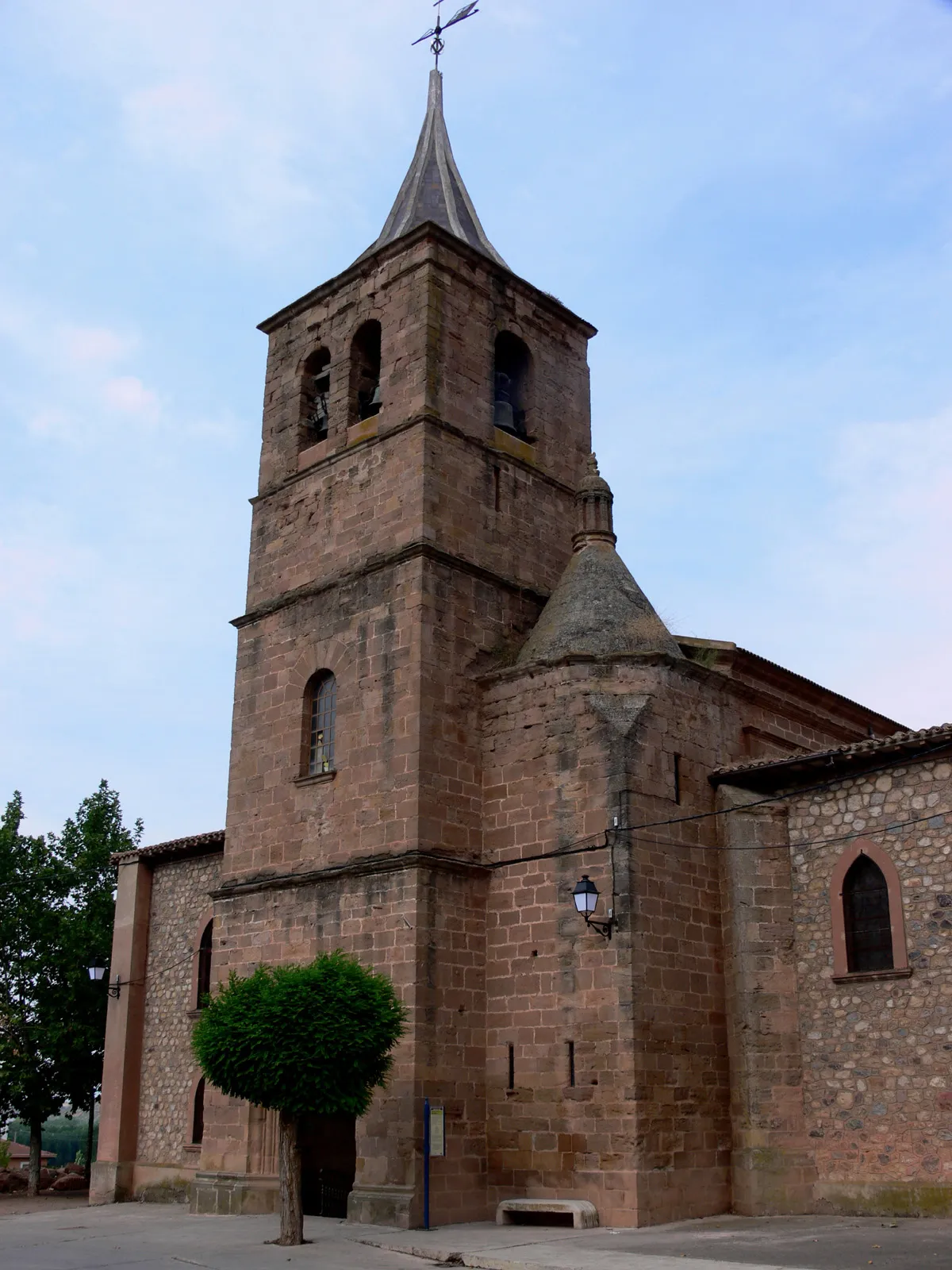
TosantosWioskaVenture through Tosantos and discover its unique charm.
24 km
24 km
VillalbosWioseczkaExperience the historical richness of Villalbos and learn about its fascinating past.
33 km
33 km
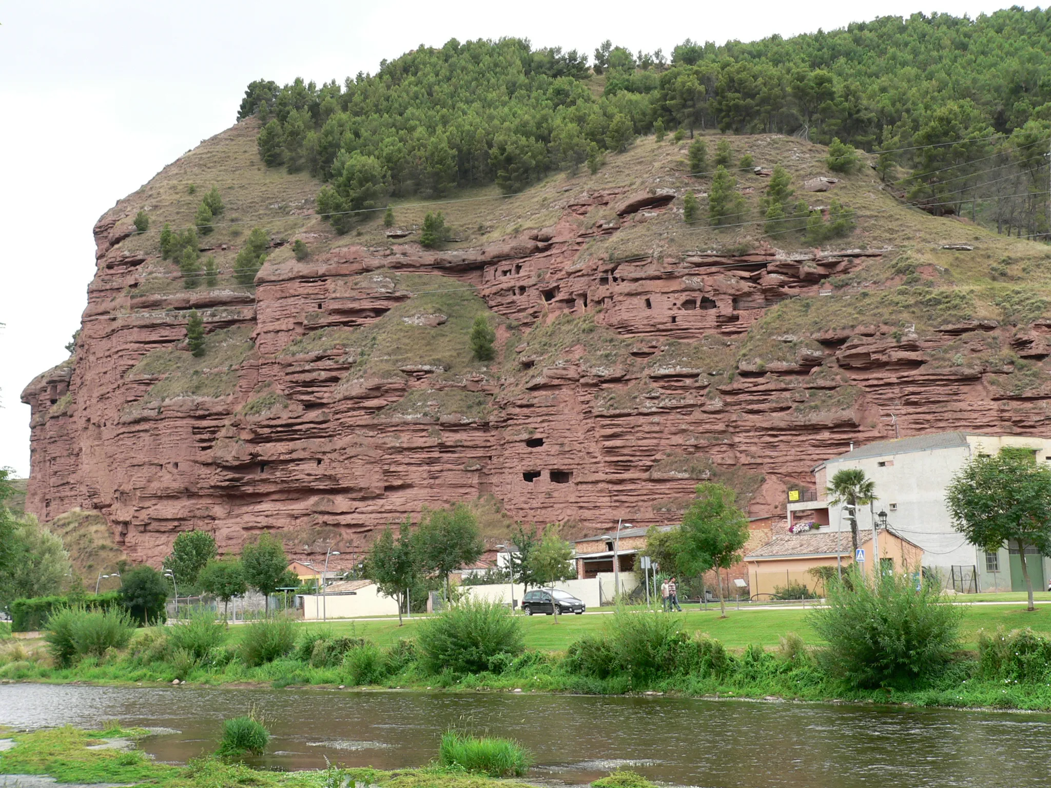
Prádanos de BurebaWioskaExplore the charming village of Prádanos de Bureba and immerse yourself in its peaceful atmosphere.
51 km
51 km
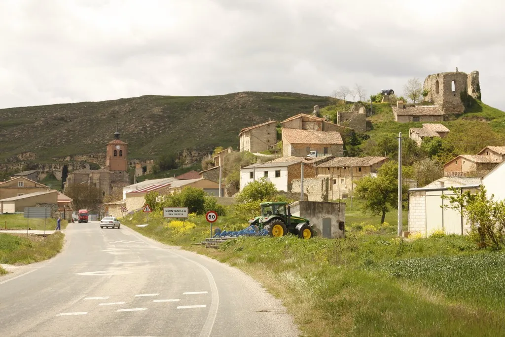
Quintanilla San GarcíaWioskaPass by Quintanilla San García and take in the scenic views of the area.
71 km
71 km
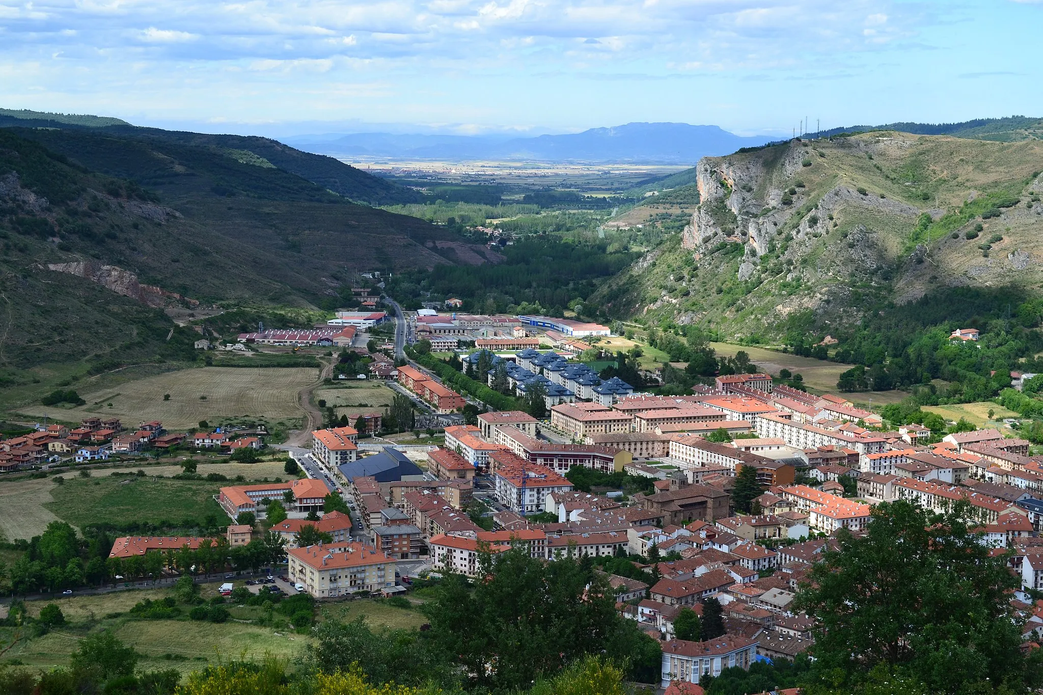
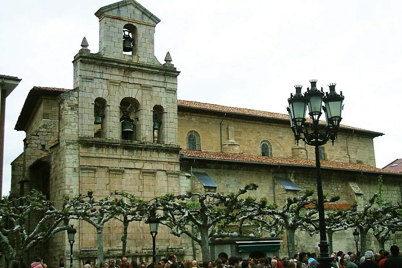
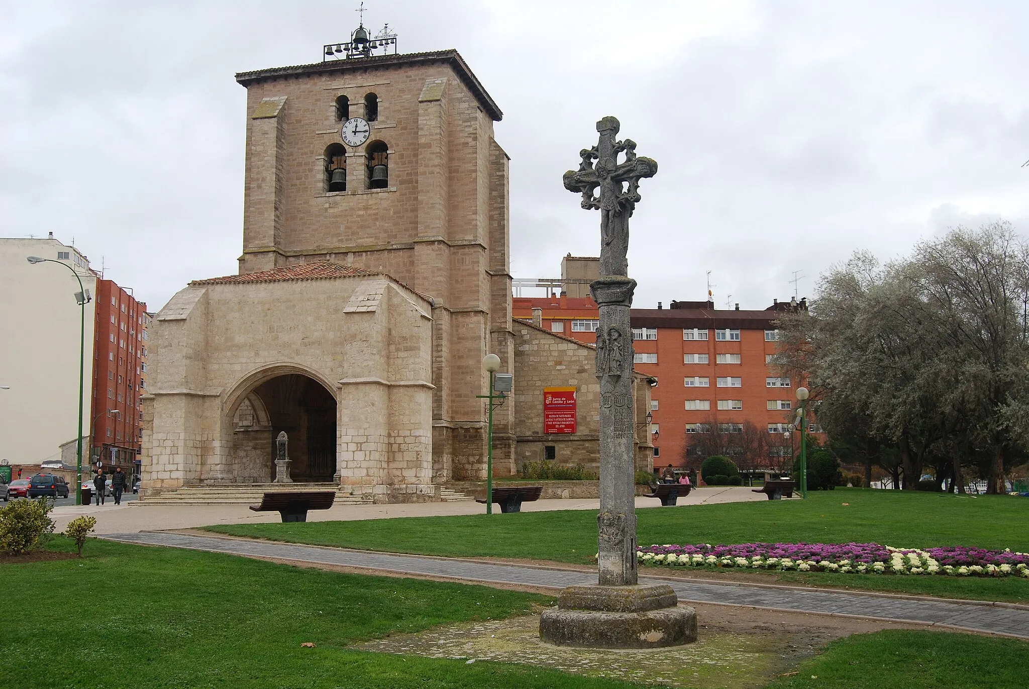
BeloradoWioskaDiscover the beauty of Belorado and enjoy the peaceful surroundings.
81 km
81 km
VillagalijoWioskaExplore the beauty of Villagalijo and take in the stunning landscapes along the way.
85 km
85 km
Miejsce docelowe: Pradoluengo Village centerPradoluengo: Idealna lokalizacja do odkrywania szutrowych tras rowerowych w Pradoluengo.
Trasy rowerowe z Pradoluengo:
Trasa gravelowa przez Grañón i Fresneda de la Sierra Tirón Trasa przez Briviesca i Ezcaray Trasy wokół Pradoluengo Pradoluengo - Distinctive Road Cycling Route Tour de Bureba Poznaj Uroki Villambistia Przejażdżka przez Pełne Wyjątkowych Widoków Road Adventure in Castilla y León Pradoluengo - Scenic Gravel Cycling Route Trasa rowerowa przez Valmala i Pinilla de los Moros
Trasy rowerowe w okolicy: