Mountain Gravel Escape
A gravel cycling route starting from Hirtenberg
Embark on an epic gravel adventure amidst mountains
Map

Experience a challenging 46 km gravel route starting near Hirtenberg, designed for adventure seekers craving mountain escapades. Embark on a thrilling journey through rocky terrains, dense forests, and breathtaking mountain vistas. Highlights include Sulzberg, Dürnbacher Wasserfall (Dürnbach Waterfall), Kogel, Grillenberg, Guglzipf, and return to Hirtenberg. This route promises an unforgettable cycling experience amidst natural wonders and striking rock formations.
gravel
46 km
967 m
Tough
Route profile
Highlights on the route
0 km
0 km
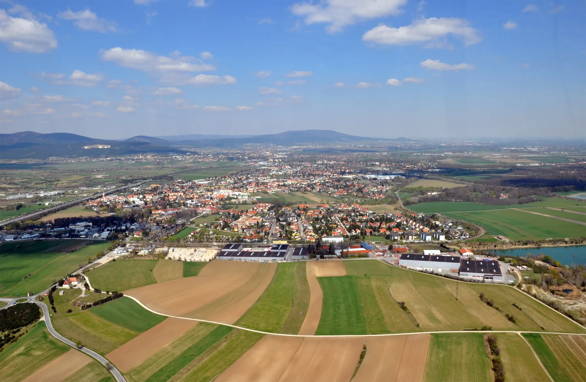
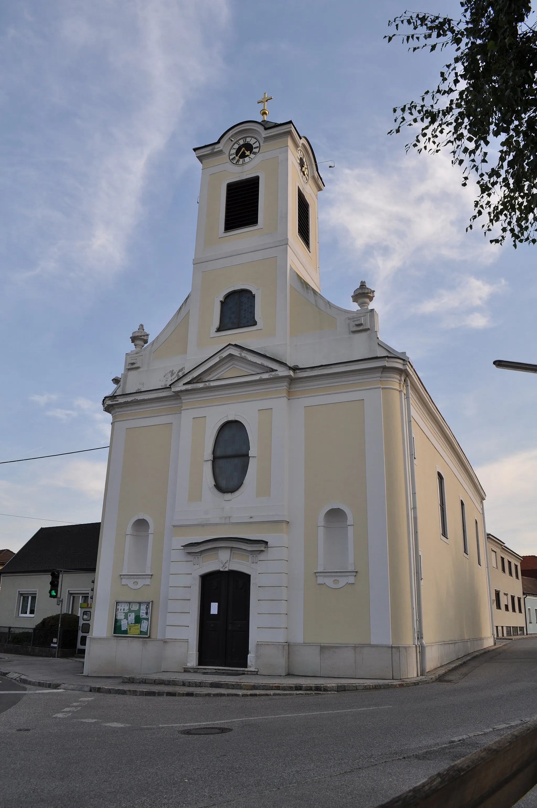
Start: Hirtenberg Village centerHirtenberg: Conquer the Hohe Wand climb from Hirtenberg's charming cycling routes
Hirtenberg is a small town located in the Niederösterreich region of Austria. From a cyclist's perspective, this area offers moderately challenging road cycling routes with rolling hills and picturesque scenery. Hirtenberg is known for hosting the Triestingtal Rundfahrt, a popular road cycling race in the region. Nearby, cyclists can find the famous Hohe Wand ascent, a challenging climb with stunning vistas. Overall, Hirtenberg is a great destination for road cyclists looking to explore the idyllic Austrian countryside and conquer a notable climb.0 km
0 km
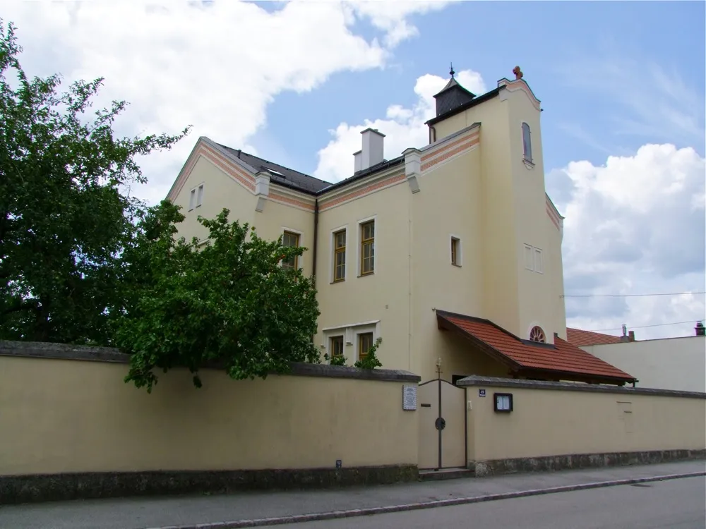
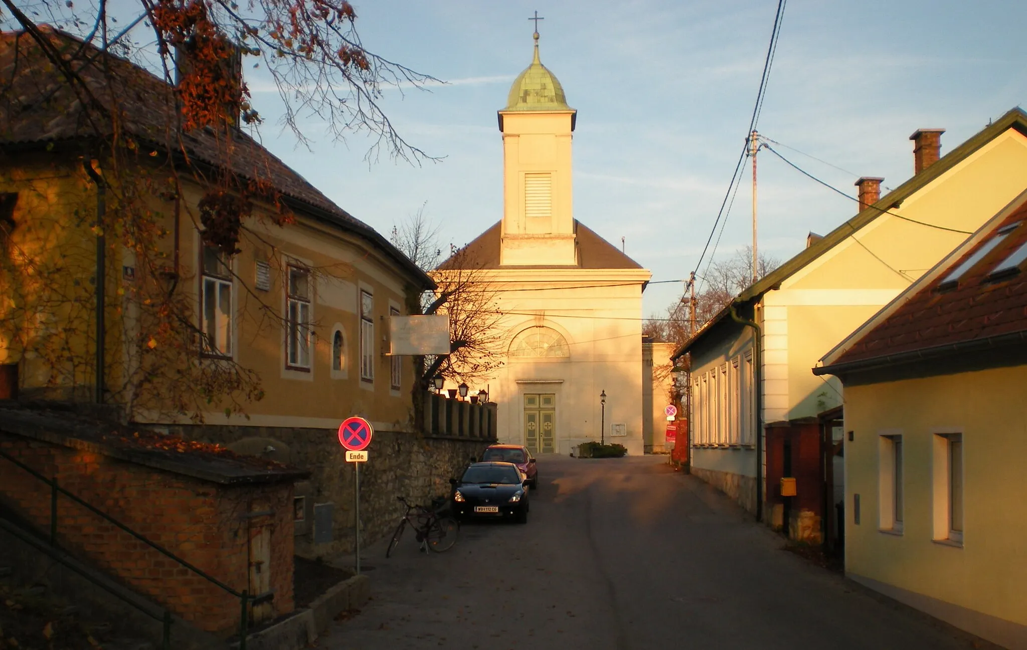
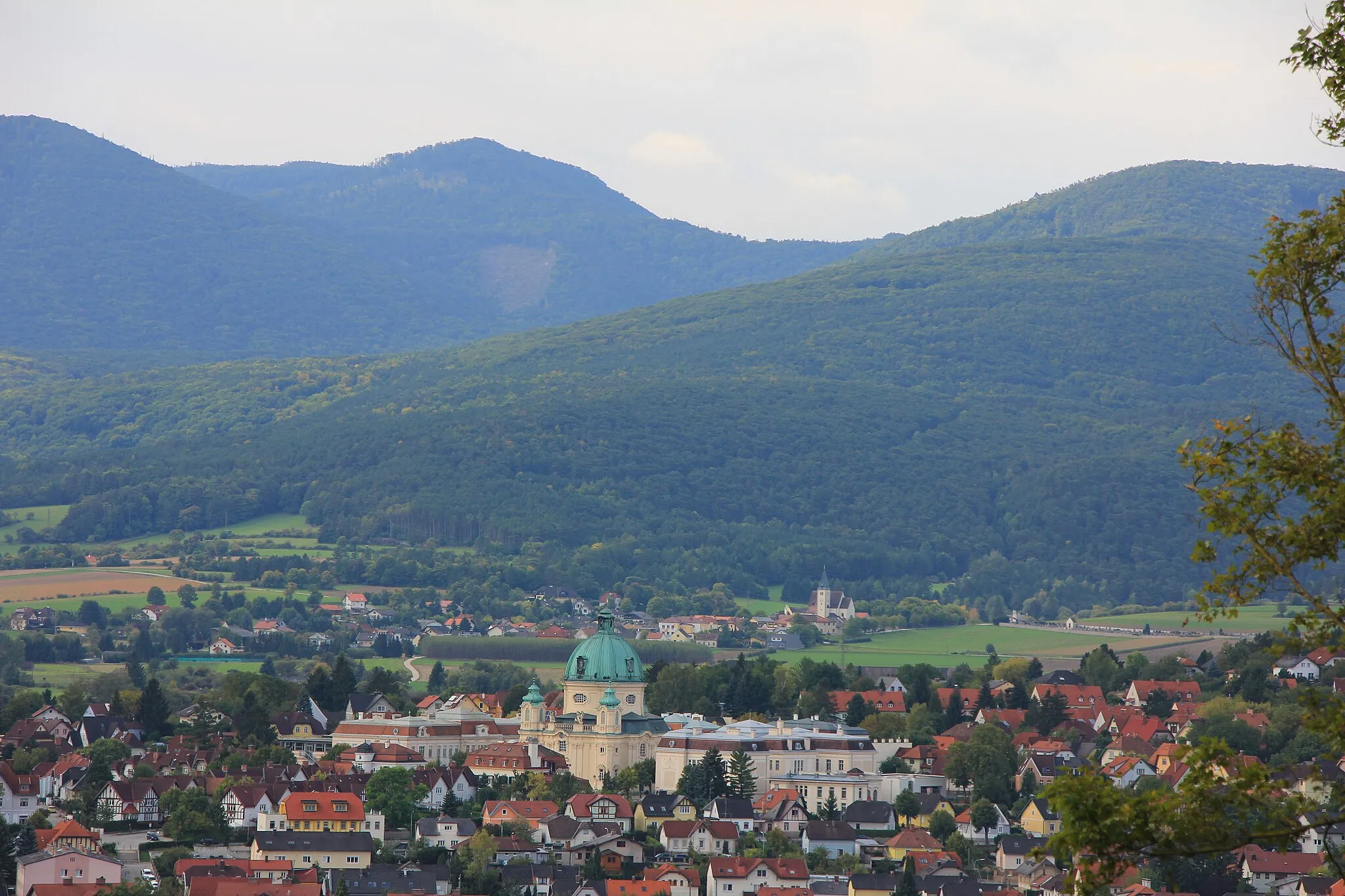
HirtenbergVillageHirtenberg, the starting and ending point, is a historic town known for its apple wine production and cultural significance. Explore the town's attractions and soak in its rich heritage.
13 km
13 km
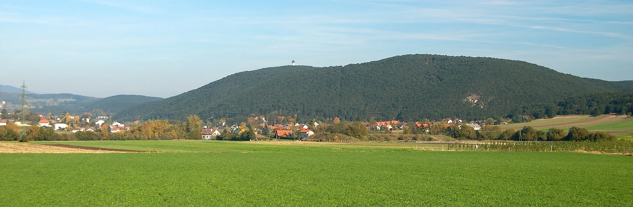
Sulzberg542 mPeakSulzberg is surrounded by stunning mountain landscapes and offers beautiful vistas, providing a moment of awe during your adventurous ride.
19 km
19 km
Dürnbacher WasserfallWaterfallDürnbacher Wasserfall is a magnificent waterfall gushing down the rocks, creating a truly captivating spectacle and a memorable highlight of your journey.
24 km
24 km
Kogel421 mPeakKogel is a prominent peak offering panoramic views of the surrounding mountains and valleys. Take a moment of respite to absorb the mountain ambience.
37 km
37 km
GrillenbergVillageGrillenberg is located in a picturesque setting further up the mountains, showcasing charming alpine scenery and offering a delightful place for rest.
40 km
40 km
Guglzipf474 mPeakGuglzipf is a unique hill formation, surrounded by lush vegetation and providing rewarding views of the landscapes below. Take your time to soak in the beauty.
46 km
46 km
Finish: Hirtenberg Village centerHirtenberg: Conquer the Hohe Wand climb from Hirtenberg's charming cycling routes
Cycling routes nearby: