Granite Hills Road Adventure
A road cycling route starting from Haslach an der Muehl
Conquer the challenging ascents and breathtaking descents on this epic road cycling adventure
Map
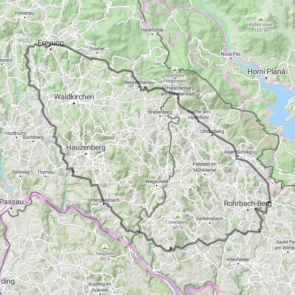
The Granite Hills Road Adventure is a 146 km long route with a challenging ascent of 2850 meters. With its demanding climbs and thrilling descents, this adventure is well-suited for experienced road cyclists seeking a true test of endurance. Along the way, you'll encounter stunning natural landscapes, charming towns, and captivating viewpoints.
road
146 km
2850 m
Savage
Route profile
Highlights on the route
0 km
0 km
Start: Haslach an der Mühl Village centerHaslach an der Mühl: Enjoy road and gravel cycling in the scenic Haslach an der Mühl.
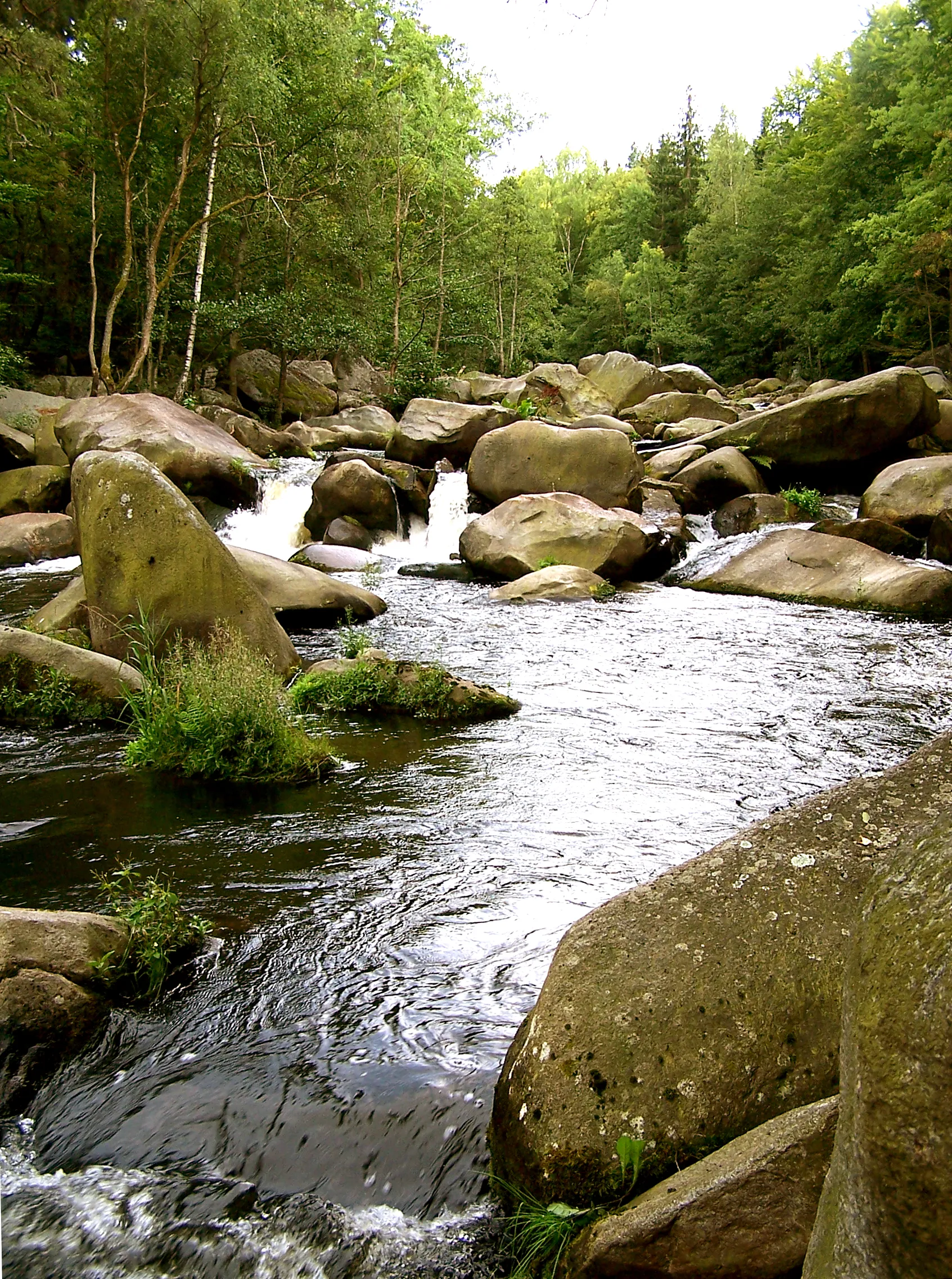
Haslach an der Mühl, situated in the Oberösterreich region of Austria, offers good cycling possibilities. The locality features rolling hills and quaint countryside that are suitable for road and gravel cyclists. While not an epicenter for cycling, Haslach an der Mühl provides a pleasant environment for leisure rides. It receives a rank of 4.11 km
11 km
ArnreitVillageExplore Arnreit, a quaint village surrounded by picturesque nature, including the idyllic Lichtenegger Castle.
13 km
13 km
Höglinger Gupf675 mPeakTake on the ascent to Höglinger Gupf, a challenging climb that rewards you with breathtaking vistas of the surrounding hills and forests.
24 km
24 km
PutzleinsdorfVillageDiscover the charming village of Putzleinsdorf, known for its well-preserved historic buildings and scenic countryside locations.
37 km
37 km
Zeinerberg637 mPeakImmerse yourself in the tranquil beauty of Zeinerberg, a hilltop with panoramic views of the region's rolling hills and meandering rivers.
47 km
47 km
UntergriesbachVillageVisit Untergriesbach, a picturesque Bavarian town with a charming market square and traditional Bavarian architecture.
72 km
72 km
DenkhofVillageMake a stop at Denkhof, a rural farm known for its authentic regional products and traditional craftsmanship.
88 km
88 km
Augustin Kanzel575 mPeakClimb Augustin Kanzel and enjoy breathtaking views of the surrounding valleys and the Danube River below.
91 km
91 km
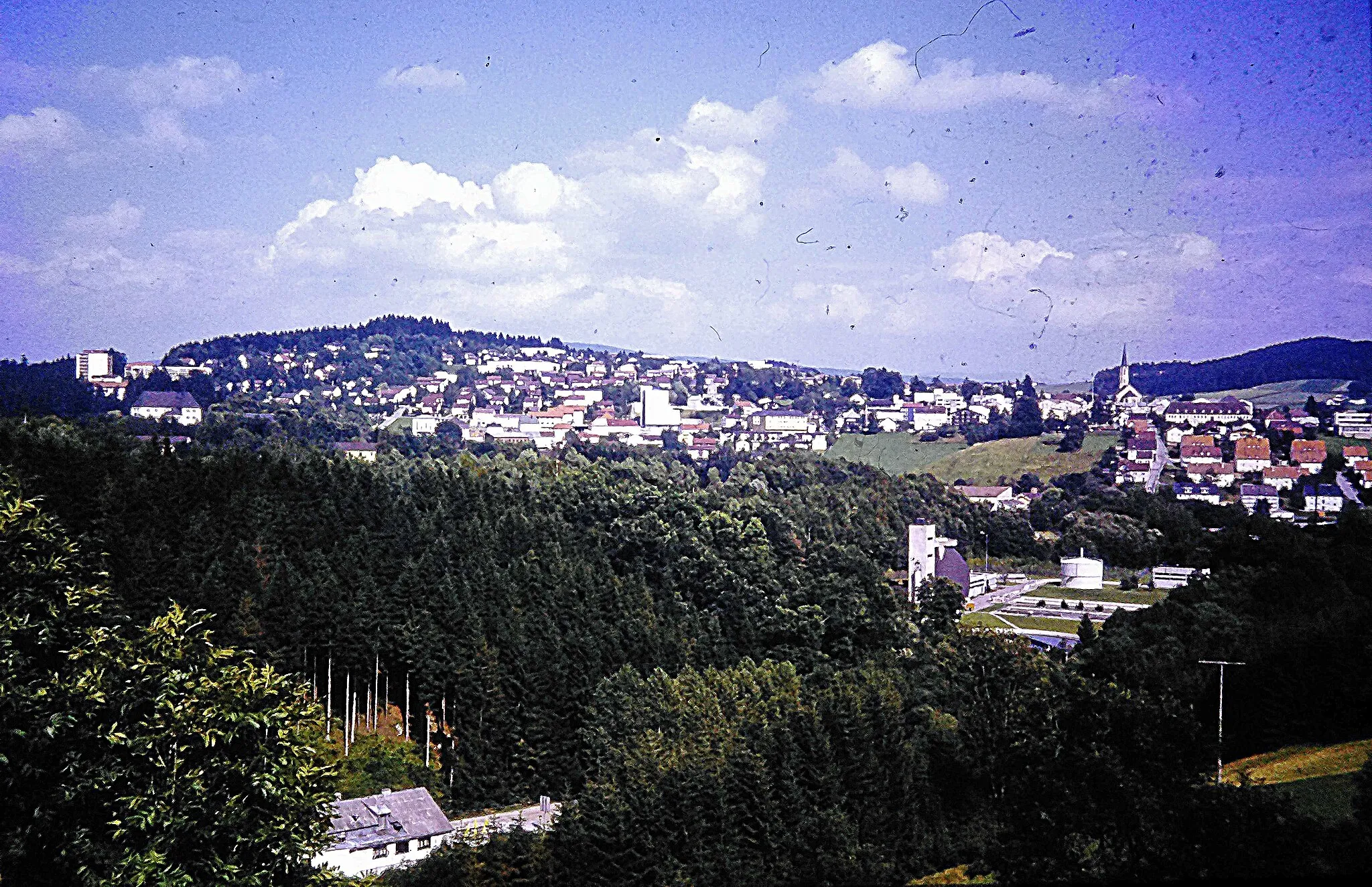
FreyungTownDiscover Freyung, a charming town known for its historic buildings, lively market square, and scenic surroundings.
107 km
107 km
AltreichenauVillagePass through Altreichenau and admire the picturesque landscapes of the Bavarian Forest National Park.
110 km
110 km
Braunberg706 mPeakCycle through Braunberg and immerse yourself in its tranquil forest surroundings and charming rural atmosphere.
126 km
126 km
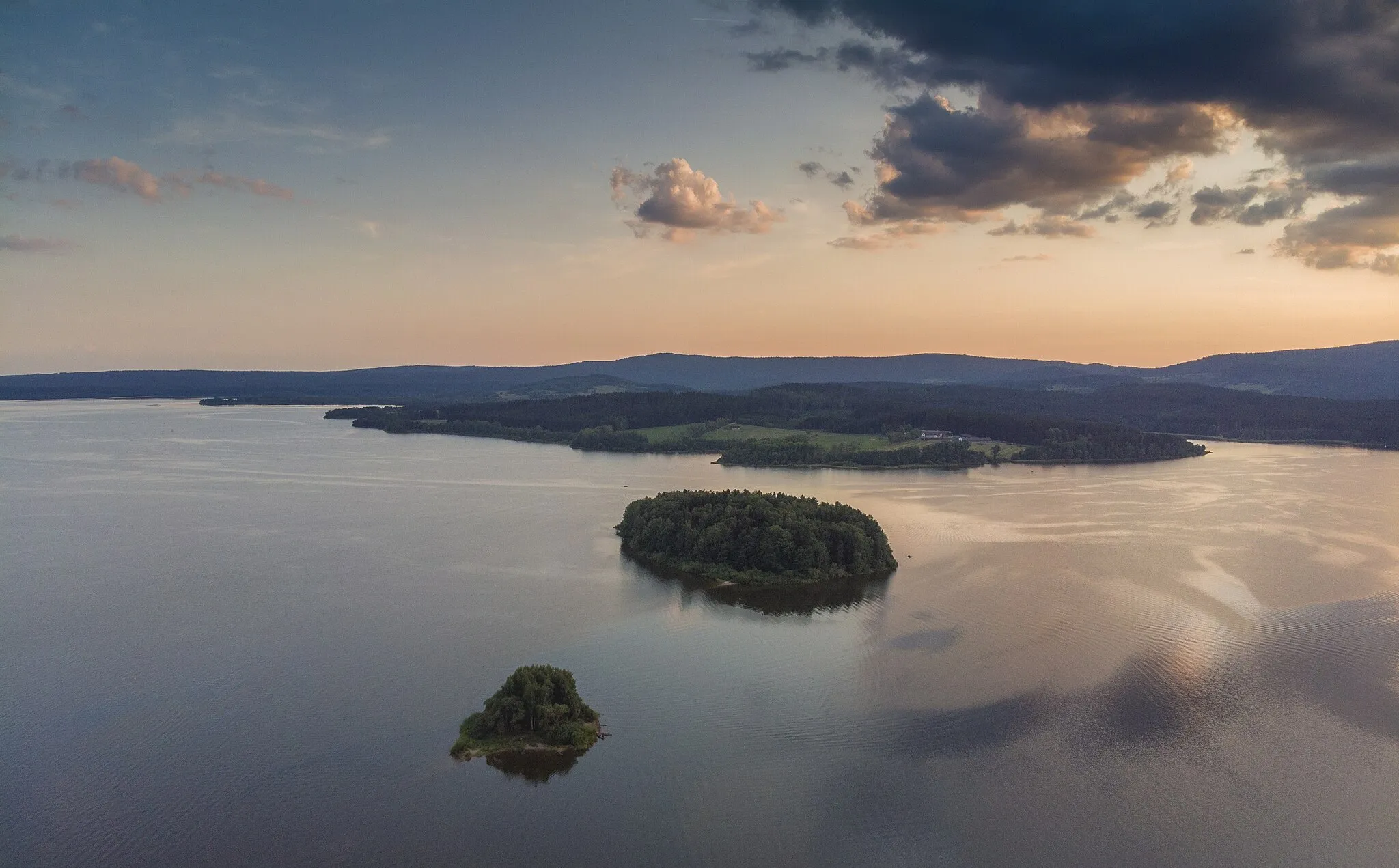
Klaffer am HochfichtVillageExplore Klaffer am Hochficht, a village located at the gateway to the majestic Hochficht mountain and ski resort.
144 km
144 km
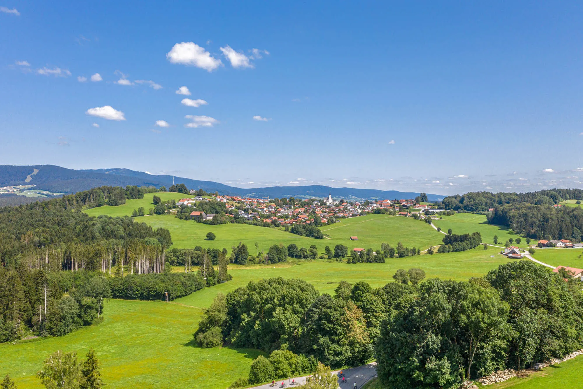
Lichtenau im MühlkreisHamletExperience the charming countryside of Lichtenau im Mühlkreis, known for its rolling hills and idyllic landscapes.
146 km
146 km
Finish: Haslach an der Mühl Village centerHaslach an der Mühl: Enjoy road and gravel cycling in the scenic Haslach an der Mühl.
Cycling routes from Haslach an der Muehl:
Mühlviertel Gravel Challenge Exploring Kyselov The Hills of Rohrbach Adventurous Ride to Lichtenau Bayernwald Gravel Adventure Haslach Circuit Mühlviertel Road Loop Mühlviertel Highlights Road Tour Granite Hills Road Adventure The Mühl Cycle: Exploring Gravel Paths and Scenic Route from Haslach an der Mühl
Cycling routes nearby: