Molln Circuit
A road cycling route starting from Leonstein
Experience the picturesque village of Molln and its stunning surroundings on this road cycling route.
Map
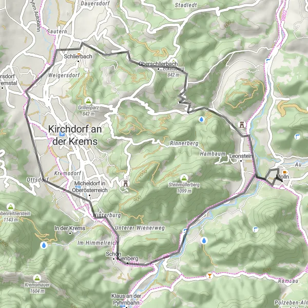
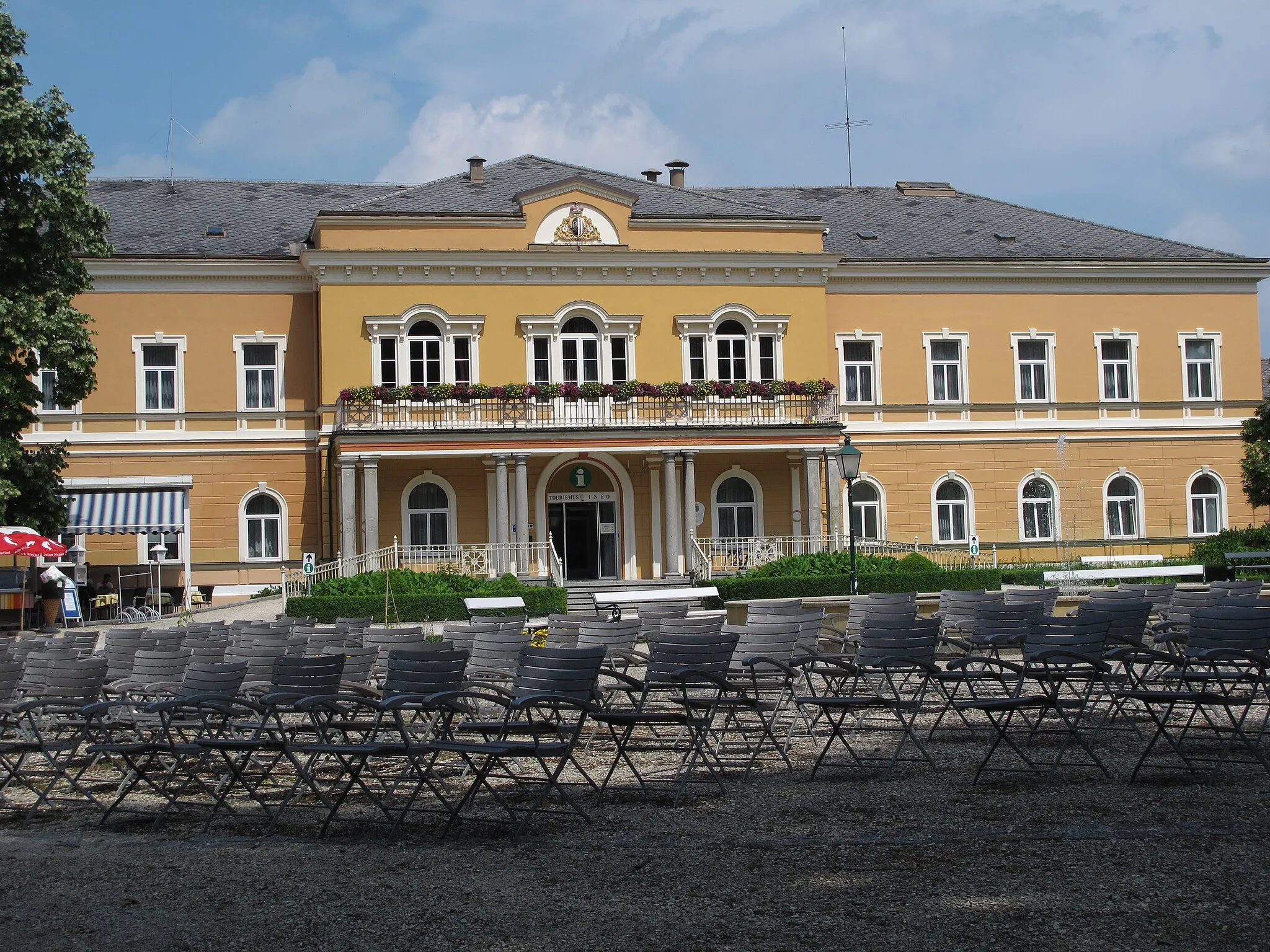
This road cycling route from Leonstein takes you through the beautiful countryside to the historic village of Molln, known for its charming architecture and scenic landscapes. With a moderate ascent of 694 meters over a distance of 44 kilometers, this route is suitable for amateur cyclists who have some training. The highlights of this route include Kessing, a small village with a rich history, Schlierbach Fire Station, a unique architectural masterpiece, Eckelsberg, a hill with panoramic views, Sonnkogel, offering breathtaking vistas, and Rinnende Mauer, an impressive wall formation.
road
44 km
694 m
Tough
Route profile
Highlights on the route
0 km
0 km
Start: Molln Village centerLeonstein: Alpine Cycling Adventure in Oberösterreich
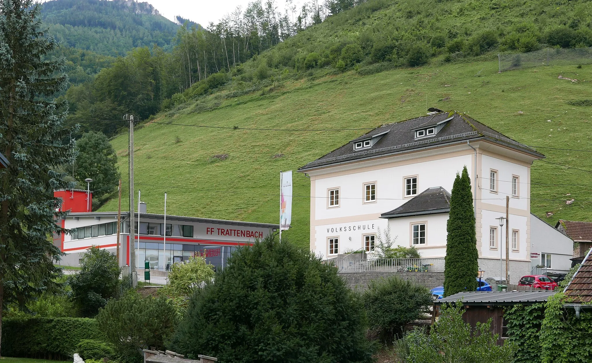
Leonstein, situated in Oberösterreich, Austria, is a captivating locality for road and gravel cyclists. Surrounded by the majestic Alps, Leonstein offers breathtaking mountain landscapes and thrilling cycling routes. The nearby Pyhrnpass is a legendary climb well-known among cyclists, providing a challenging ascent and stunning panoramic views from the top. With its combination of challenging climbs and awe-inspiring scenery, Leonstein is a must-visit destination for cycling enthusiasts.0 km
0 km
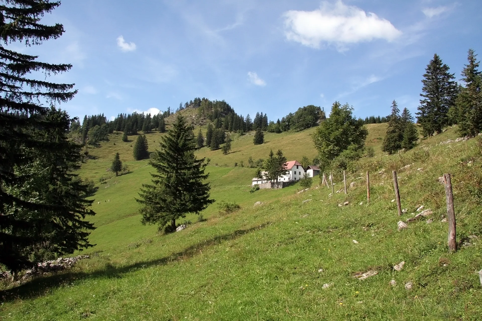
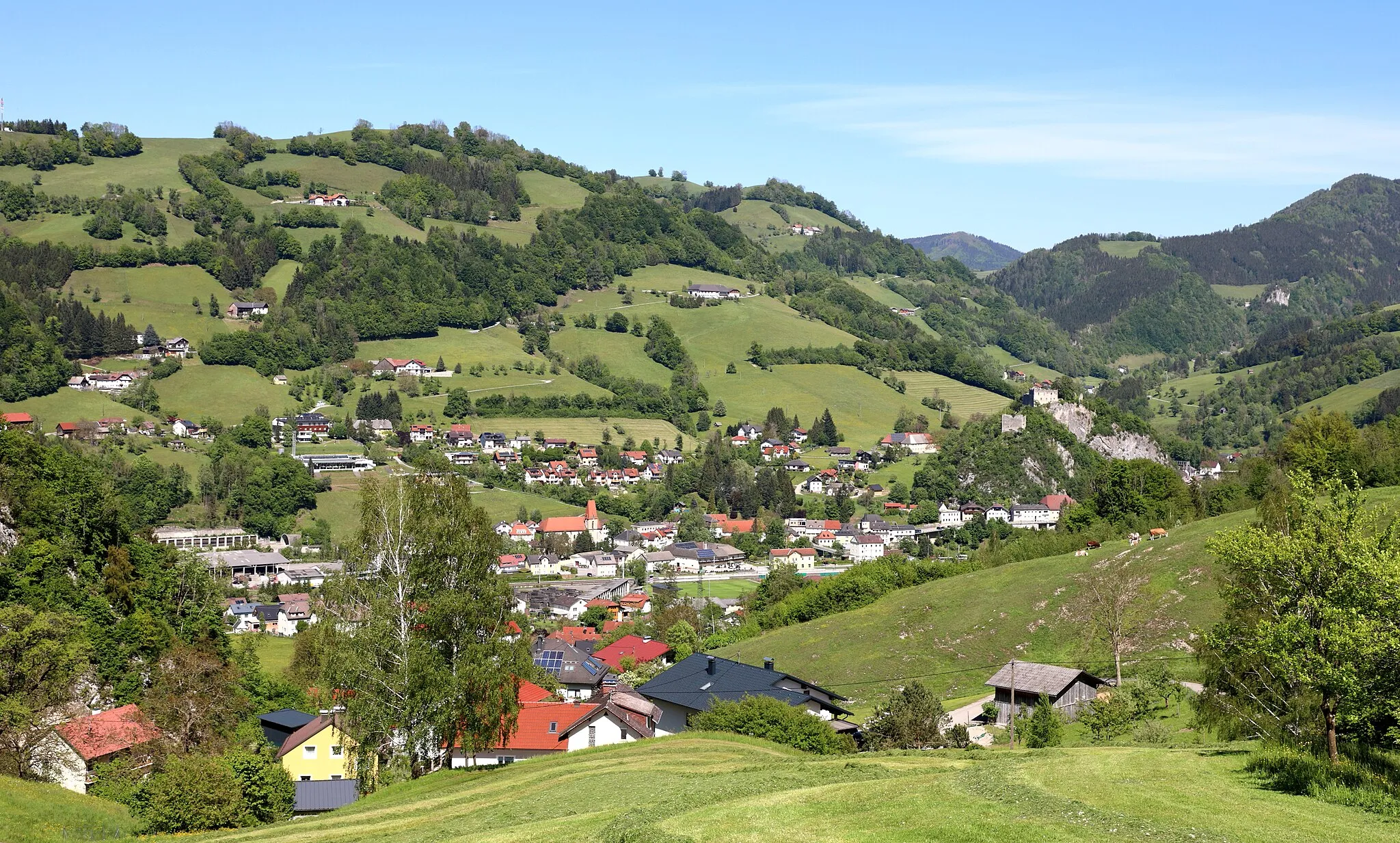
MollnVillageMolln is a charming village known for its traditional Alpine architecture and is surrounded by beautiful forests and mountains.
12 km
12 km
Kessing745 mPeakKessing is a small village with well-preserved historic buildings, including a castle and an old church.
25 km
25 km
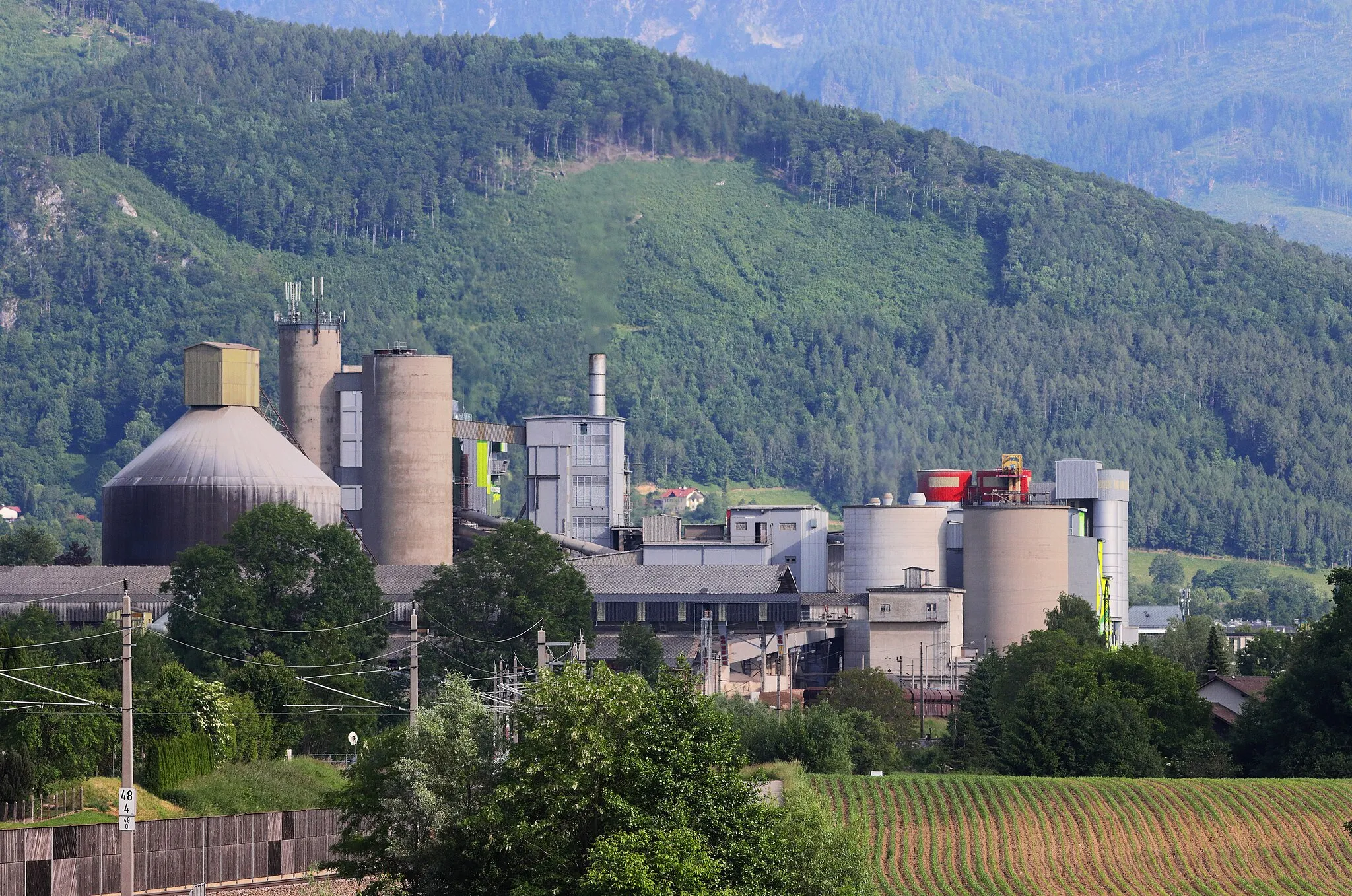
Schlierbach FeuerwehrShelterSchlierbach Fire Station is an architectural masterpiece designed by Austrian artist Friedensreich Hundertwasser.
31 km
31 km
Eckelsberg842 mPeakEckelsberg is a hill with panoramic views of the surrounding countryside and the nearby Alm National Park.
38 km
38 km
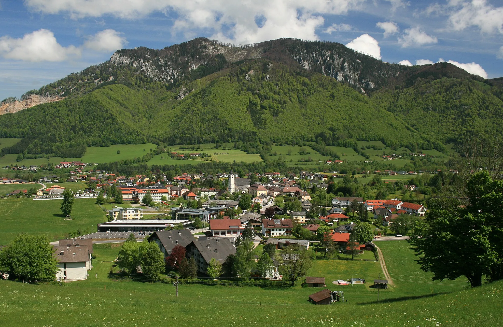
Sonnkogel880 mPeakSonnkogel offers breathtaking vistas of the mountains and valleys, making it a perfect spot for a photo opportunity.
39 km
39 km
Rinnende MauerWaterfallRinnende Mauer is an impressive natural rock formation that appears to be a perpetually flowing wall of water.
44 km
44 km
Finish: Molln Village centerLeonstein: Alpine Cycling Adventure in Oberösterreich
Cycling routes from Leonstein:
Gravel Adventure: Frauenstein Loop Hidden Gems: Almtal Exploration Leonstein to Schloss Leonstein Gravel Route Ultimate Gravel Challenge: Mountains and Valleys Leonstein Loop Road Route Molln Circuit Magdalenaberg Loop Molln to Annasberg Gravel Route Leonstein Loop Road Route Leonstein Loop Leonstein-Gaisberg-Größter Taschenfeitel der Welt-Hohe Dirn-Rehkogel-Annasberg-Molln-Leonstein Leonstein-Kienberg-Klaus an der Pyhrnbahn-Falkenstein-Schloss Klaus-Leonstein Abzw Molln
Cycling routes nearby: