Kopfstätte Challenge
A gravel cycling route starting from Obernberg am Inn
Explore the scenic landscapes on this gravel route
Map
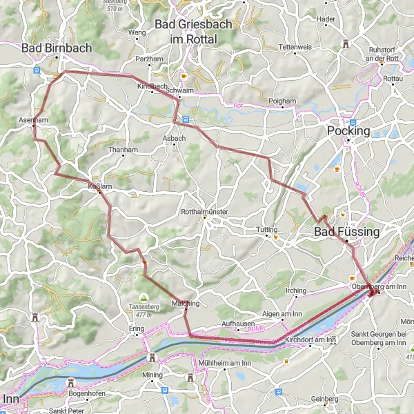
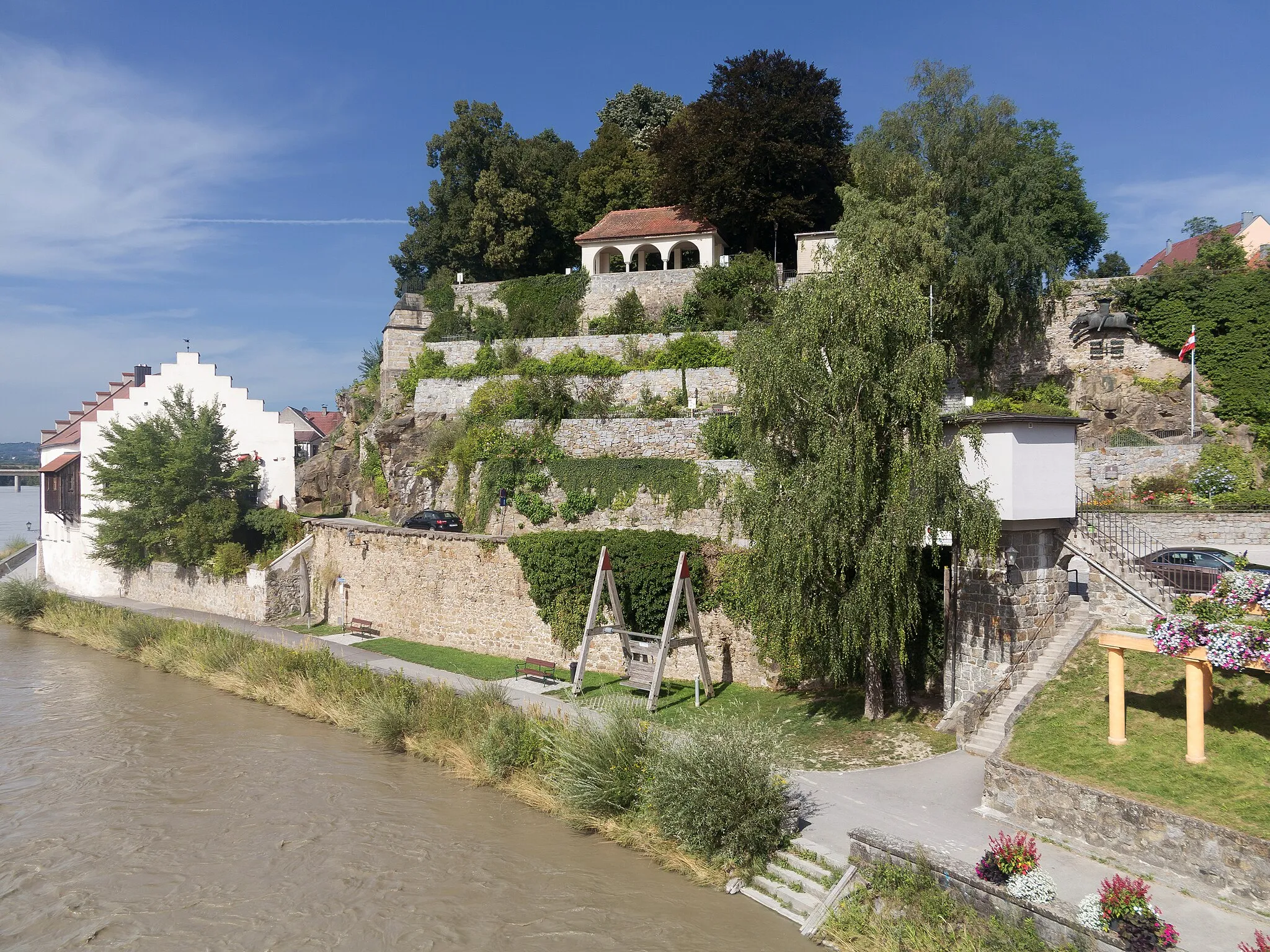
Embark on a thrilling gravel adventure starting from Obernberg am Inn. This route takes you through picturesque trails, with a total ascent of 609 meters and a distance of 61 kilometers. Enjoy the breathtaking views and immerse yourself in nature as you pass by the Köpfstätte, a historical monument marking the boundary between Austria and Bavaria.
gravel
61 km
609 m
Tough
Route profile
Highlights on the route
0 km
0 km
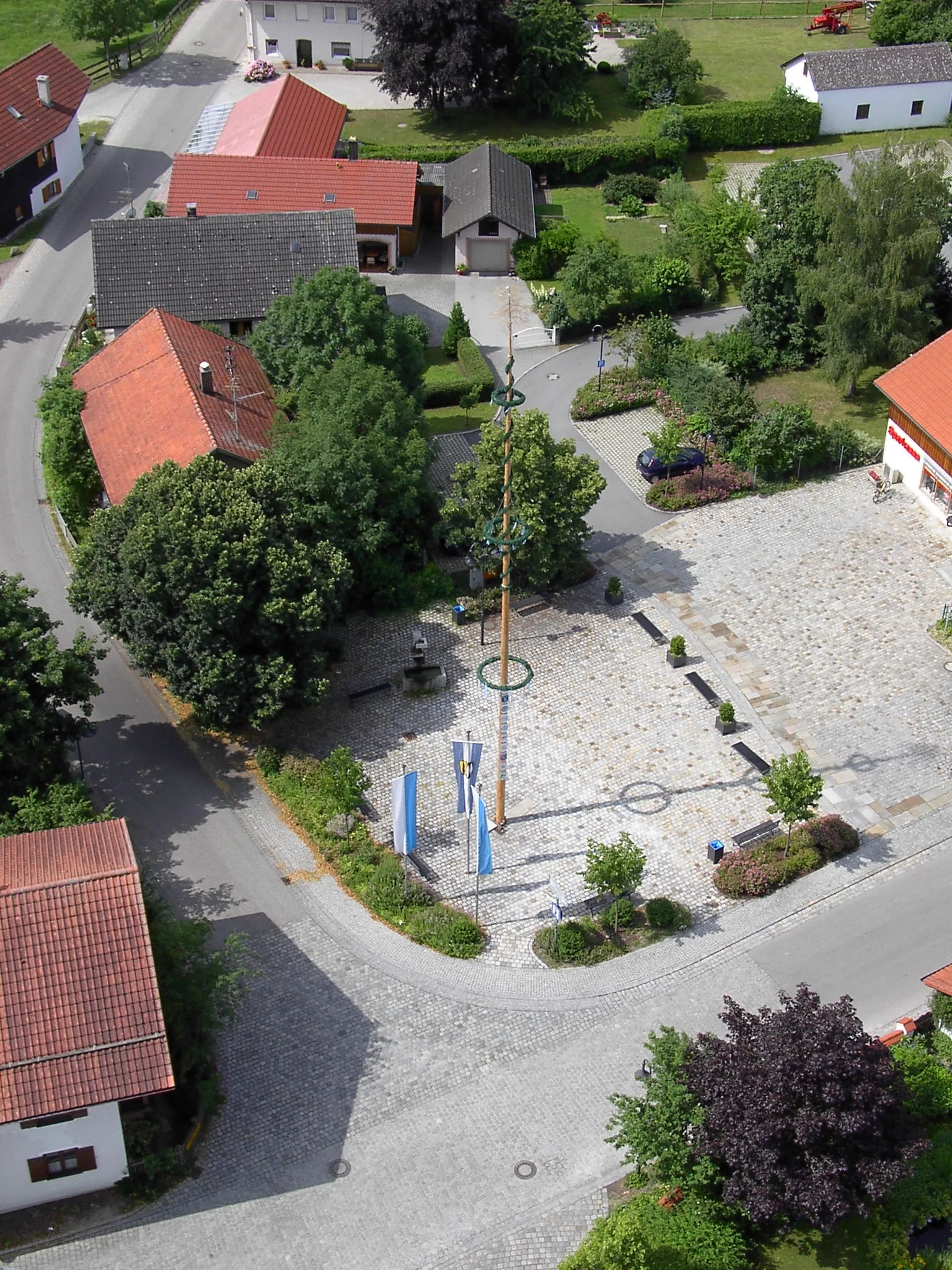
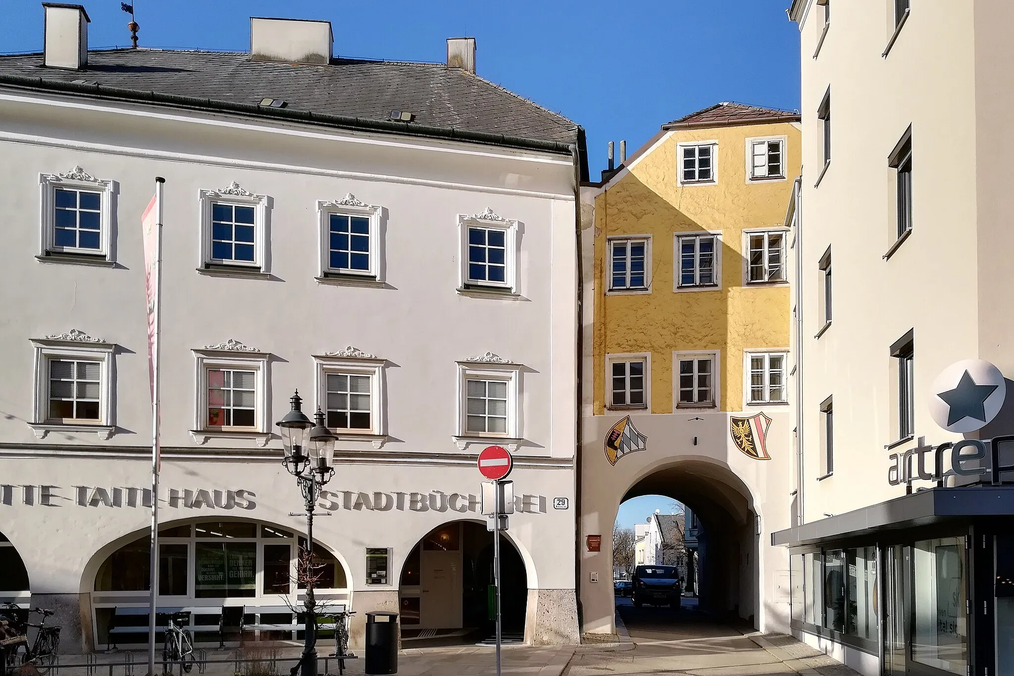
Start: Obernberg am Inn Village centerObernberg am Inn: Conquer the famous Granatenkogel climb in Obernberg am Inn.
Obernberg am Inn, located in Upper Austria, is a pleasing locality for road and gravel cyclists. The region offers a mix of flat stretches along the Inn River and challenging ascents in the hilly countryside. Cyclists can enjoy scenic views of the river, charming villages, and picturesque landscapes. One nearby cycling attraction is the ascent to Granatenkogel, a famous climb that attracts many cyclists due to its challenging gradient and breathtaking views. Obernberg am Inn is an ideal destination for cyclists seeking a mix of easier terrain and demanding climbs in a beautiful natural setting.0 km
0 km
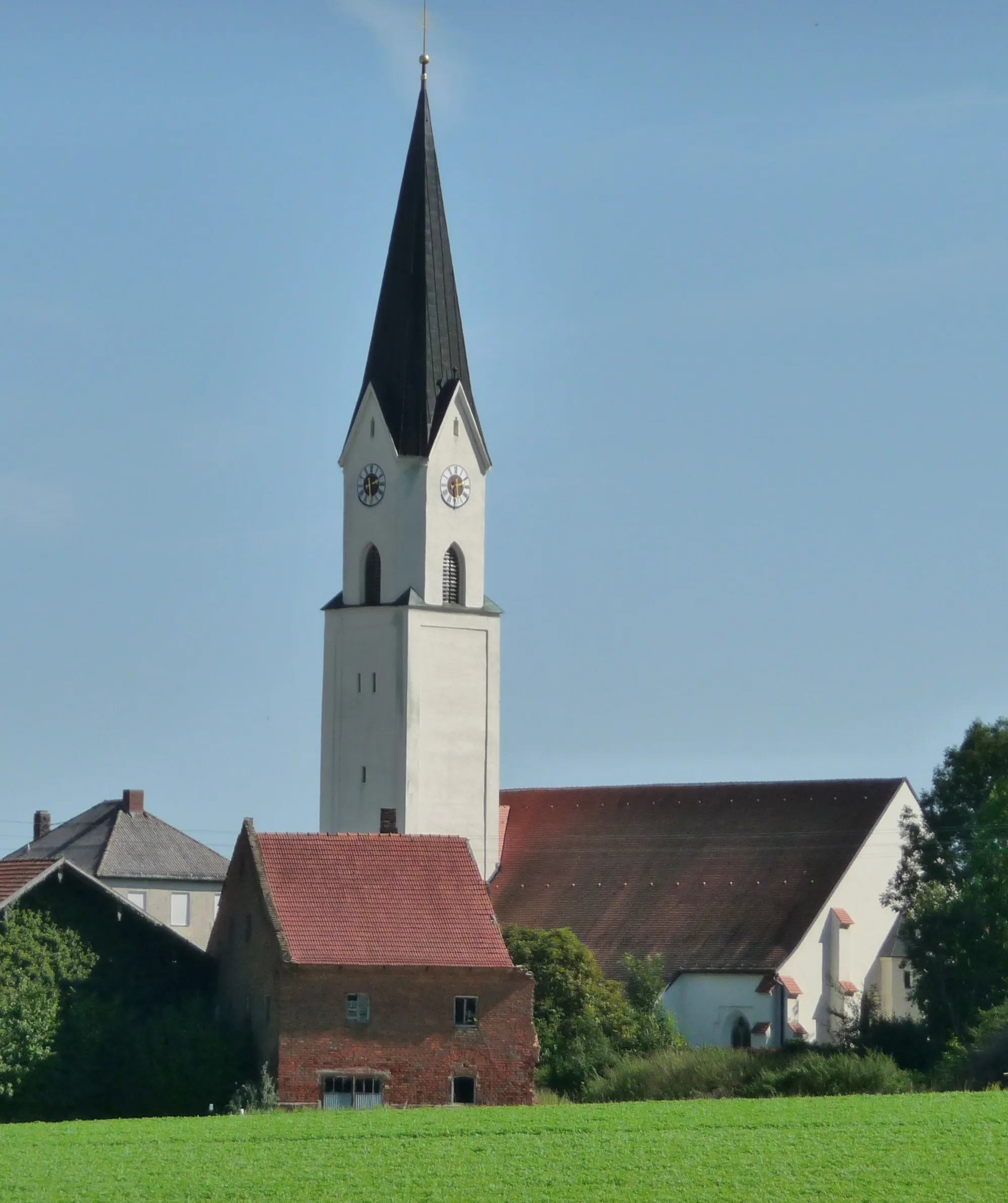
KöpfstätteViewpointDiscover the Köpfstätte, an ancient landmark of historic significance.
14 km
14 km
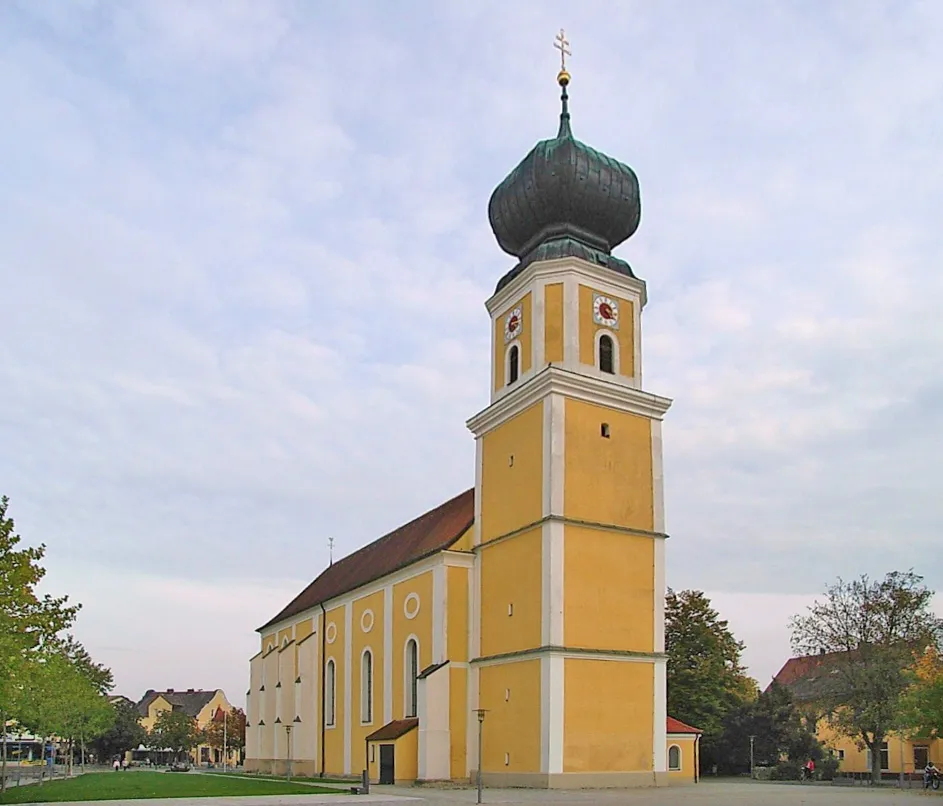
MalchingVillageMake a stop at Malching and take in the beauty of the surrounding countryside.
24 km
24 km
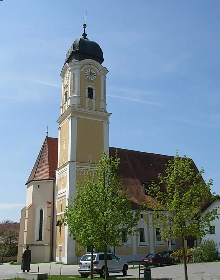
KößlarnVillageExperience the charm of Kößlarn along the way.
30 km
30 km
AsenhamVillagePass by Asenham, a peaceful village with idyllic views.
46 km
46 km
WeihmörtingVillageAdmire the picturesque village of Weihmörting and its unique architecture.
61 km
61 km
Obernberg am InnVillageImmerse yourself in the beauty of Obernberg am Inn, your starting point and a charming town to explore.
61 km
61 km
Finish: Obernberg am Inn Village centerObernberg am Inn: Conquer the famous Granatenkogel climb in Obernberg am Inn.
Cycling routes nearby: