Explore the enchanting landscapes and challenging routes of Tragwein.
Cycling routes from Tragwein
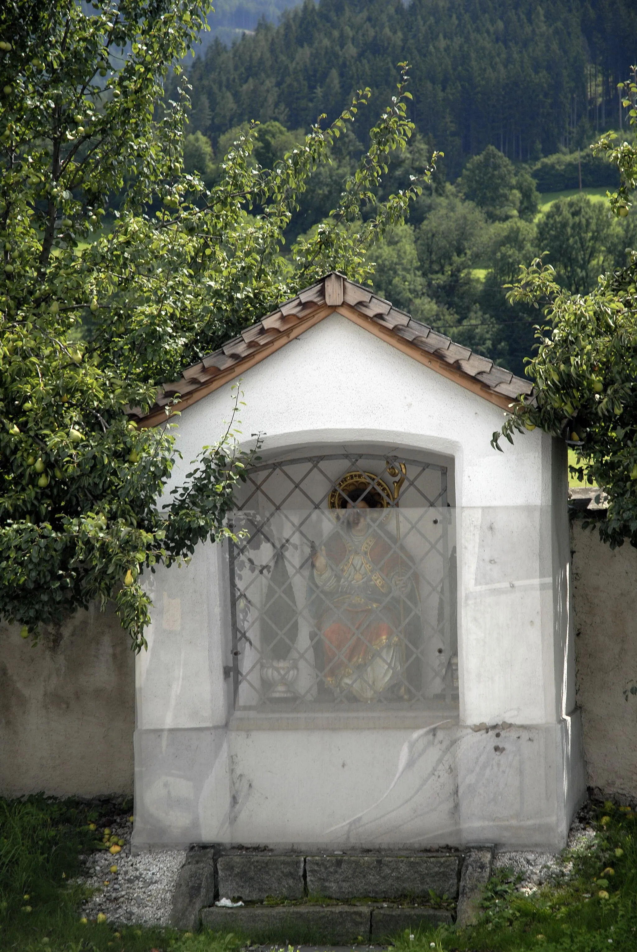
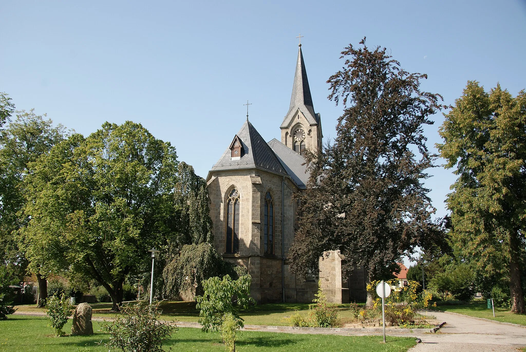
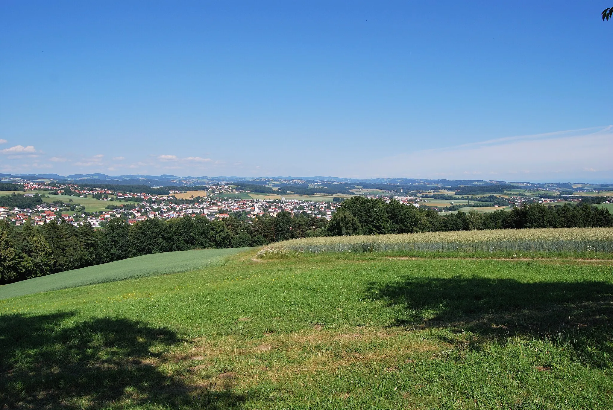
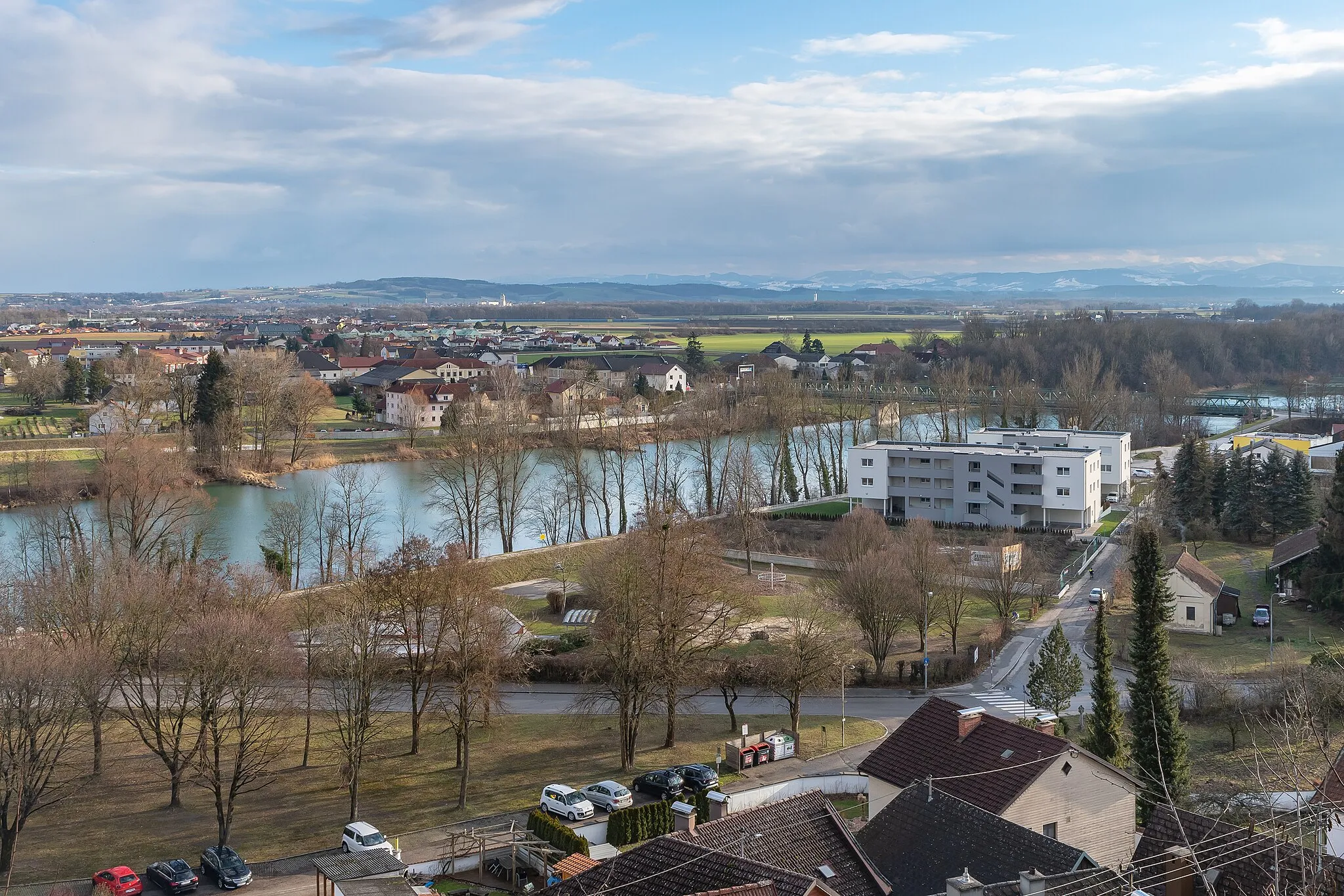
Tragwein, situated in Oberösterreich, Austria, is a tranquil locality perfect for road and gravel cycling. Surrounded by lush forests, rolling hills, and idyllic countryside, Tragwein offers picturesque routes that are both enjoyable and challenging. Cyclists can pedal through charming villages, discover scenic viewpoints, and experience the beauty of the region's nature. Tragwein is located near the Mühlviertel region, which is known for its impressive climbs, including the Sternstein, attracting many avid cyclists. With its serene atmosphere and stunning landscapes, Tragwein is a 3/5 location for cyclists.
Ride through the picturesque Greisingberg
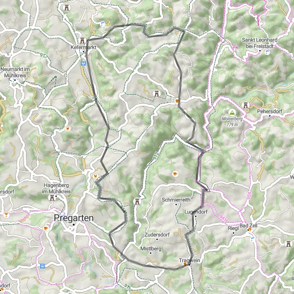
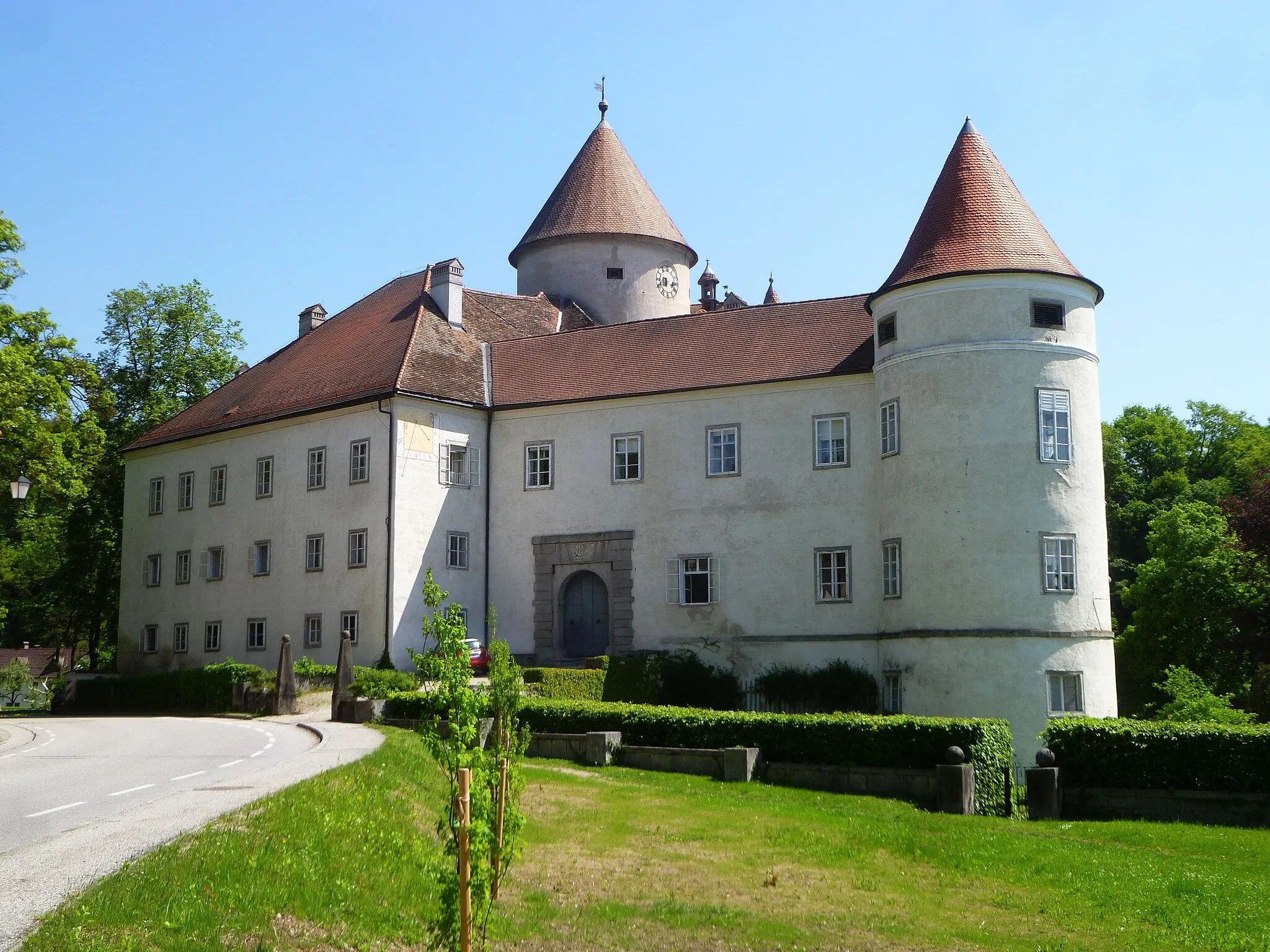
The Greisingberg Loop takes you on a scenic cycling adventure through the beautiful landscapes near Tragwein. With a total distance of 45 kilometers and an ascent of 923 meters, this road route is suitable for experienced cyclists. Along the way, you will encounter several highlights, including Greisingberg, a charming hill known for its stunning views. The route also passes by Schloss Weinberg and Buchberg, offering opportunities to explore historic landmarks. For a memorable ride in Oberösterreich, the Greisingberg Loop is a must-try.
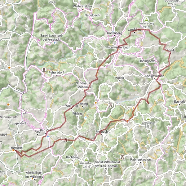
Hill-Top Adventure
Conquer the legendary Herzogreither Berg
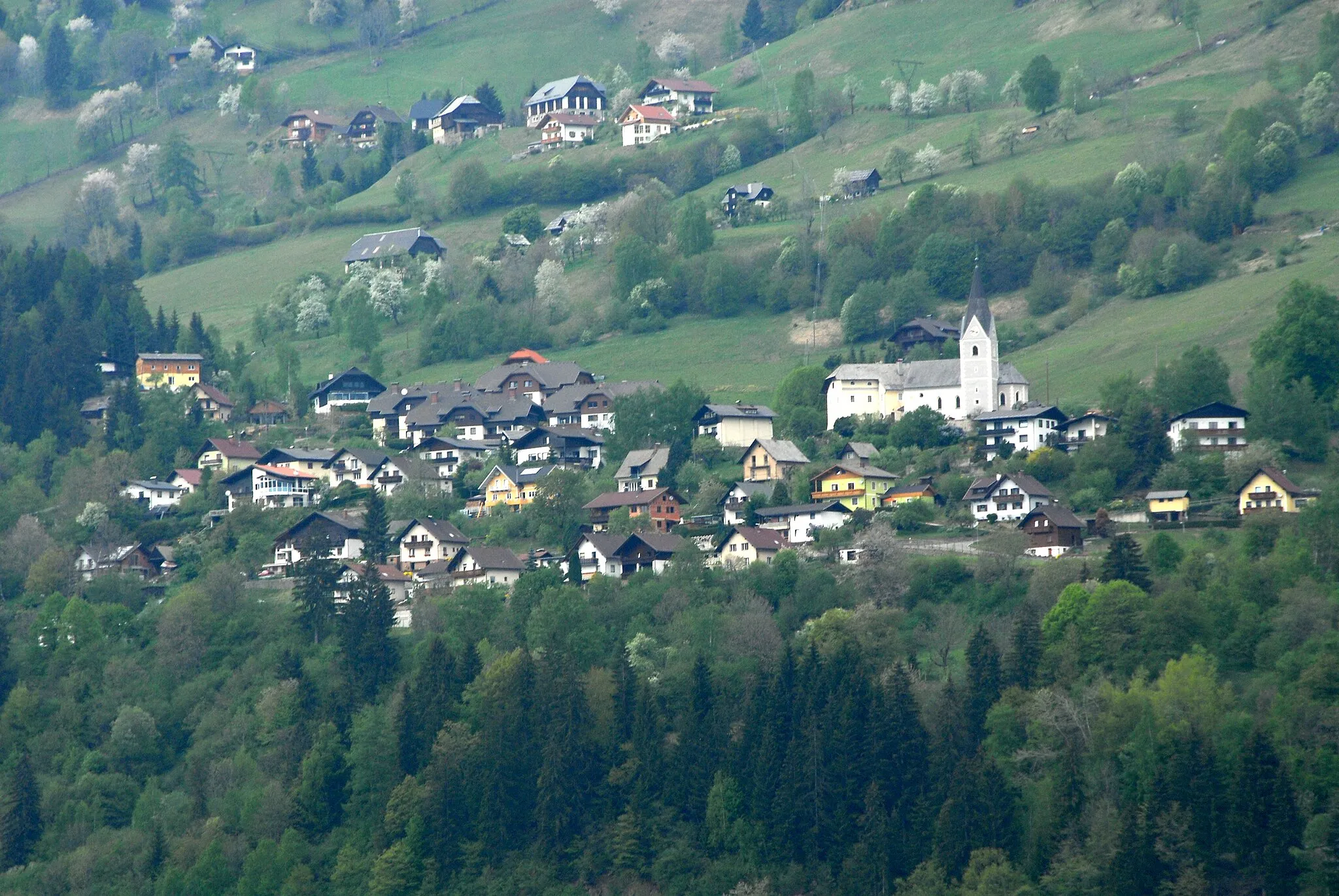
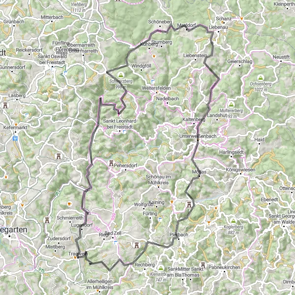
Embark on a hill-top adventure and conquer the legendary Herzogreither Berg. This road route spanning 86 kilometers and ascending 1839 meters is a thrilling challenge for seasoned cyclists. As you pedal through picturesque landscapes, you'll encounter highlights such as Feiblmühl, a charming village known for its traditional architecture. The highlight of the route is Herzogreither Berg, a steep climb that rewards riders with stunning panoramic views. Untouched natural beauty can be found along the way, particularly at Rehberg and Unterweißenbach. Pierbach, nestled amidst rolling hills, is another picturesque spot worth experiencing. For a truly memorable cycling adventure near Tragwein, the Hill-Top Adventure is a top choice.
The Mühlkreis Gravel Adventure
Discover the rugged beauty of Mühlkreis region on this thrilling gravel adventure.
Embark on a 65-km long gravel adventure through the picturesque Mühlkreis region of Upper Austria. With a total ascent of 1680 meters, this route offers a challenging and rewarding experience for gravel cyclists. The route takes you through various highlights and scenic spots, allowing you to immerse yourself in the natural beauty of the area.
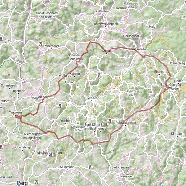
Mühlviertel Circuit
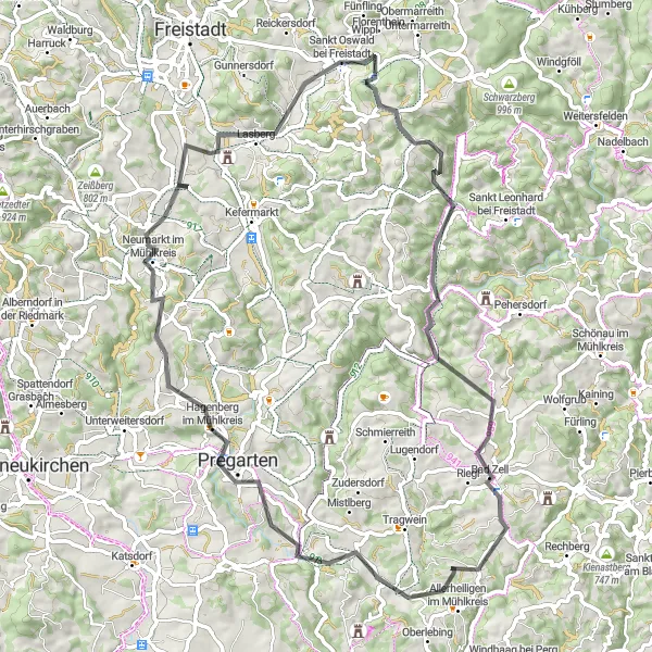
Discover the picturesque Mühlviertel region
The Mühlviertel Circuit takes you on a picturesque cycling journey through the enchanting Mühlviertel region. Covering a distance of 72 kilometers and ascending 1303 meters, this road route offers a moderate challenge suited for experienced cyclists. Along the way, you will encounter several highlights, such as the Schneckenturm, an iconic landmark known for its spiral shape. The route also passes through Allerheiligen im Mühlkreis, a charming village with a rich history. With scenic spots like Haarlandberg and Neumarkt im Mühlkreis, this cycling adventure promises stunning views and cultural immersion. Whether you're a nature lover or a history enthusiast, the Mühlviertel Circuit is a delightful choice for exploration in Oberösterreich.
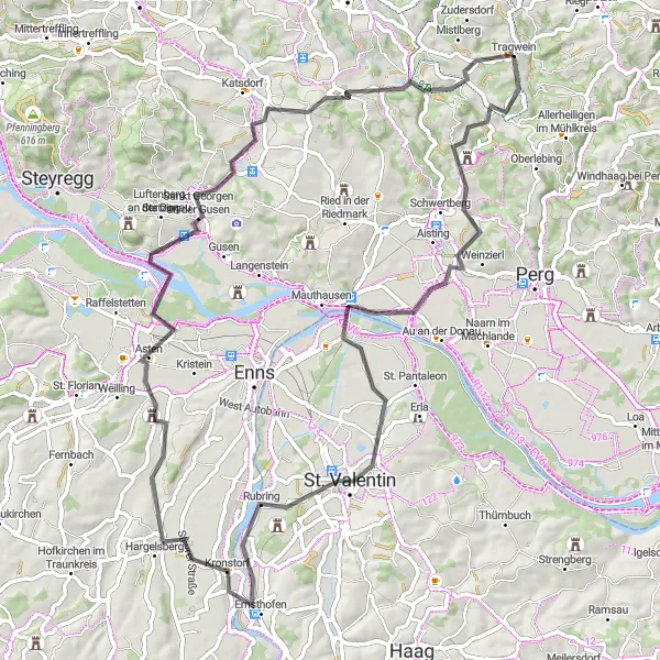
Embark on a scenic road cycling journey through picturesque valleys and historic attractions near Tragwein.
The Valley Explorer is a picturesque road cycling route that takes you through scenic valleys and past historic attractions near Tragwein. Covering a distance of 78 kilometers and with an elevation gain of 691 meters, this route offers a moderate challenge suitable for well-trained amateur cyclists. Highlights along the way include Aisthofen, Ernsthofen, Schloss Tyllisburg, Ruhstetten, and Teufelskanzel. These attractions provide opportunities to take a detour and explore the surrounding areas, discovering the rich cultural heritage and natural beauty of the region.
Danube Cycling Loop
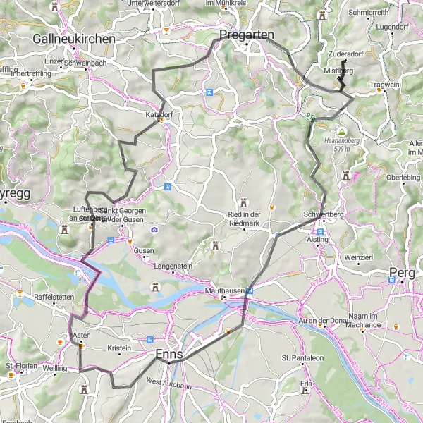
Explore the Danube riverbank
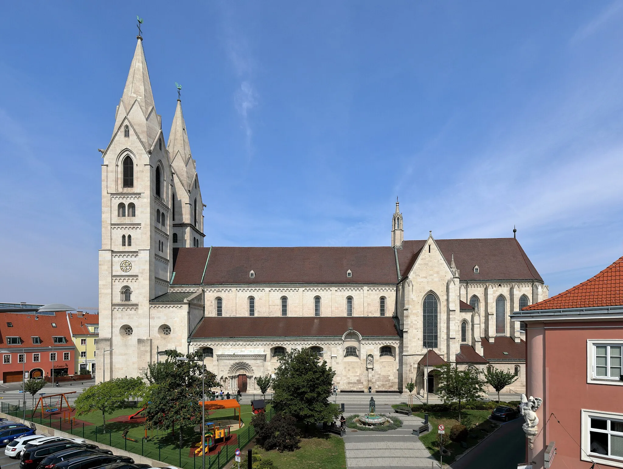
The Danube Cycling Loop invites you to explore the beautiful riverbank of the Danube. This road route covers a distance of 66 kilometers and includes an ascent of 912 meters, offering a moderate challenge suitable for cyclists of varying skill levels. Along the way, you'll encounter highlights such as Schwertberg, a charming town situated along the river. Enns, Austria's oldest town, also awaits exploration with its historic charm. As you ride through picturesque locations like Luftenberg an der Donau and Pregarten, you'll be surrounded by stunning views and the calming presence of the river. For a delightful cycling experience along the Danube, the Danube Cycling Loop is a perfect choice.
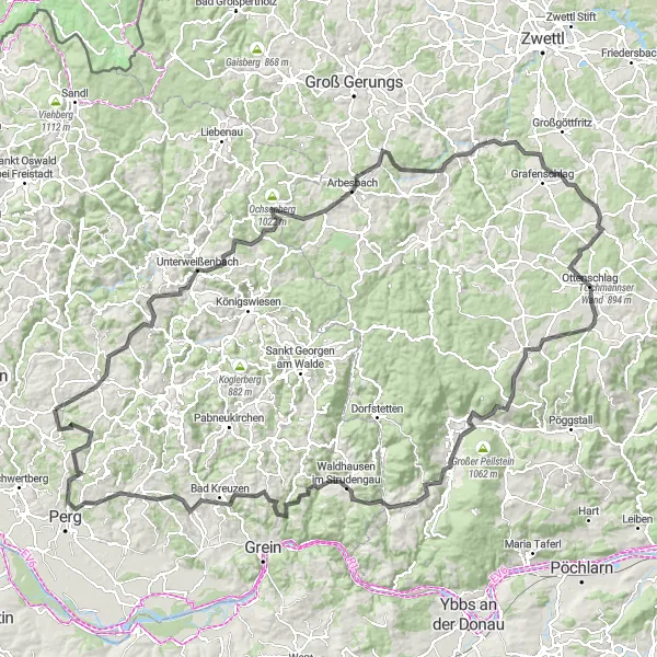
Embark on the ultimate cycling challenge and conquer legendary climbs and scenic routes near Tragwein.
The Ultimate Cycling Challenge is an epic road cycling route that offers a true test of endurance near Tragwein. Covering a distance of 161 kilometers and with a demanding ascent of 3,186 meters, this route is only suitable for experienced and well-trained cyclists. Highlights along the route include Schönau im Mühlkreis, Unterweißenbach, Spöberg, Brandberg, Rappottenstein, Schafberger Höhe, Sallingberg, Hasenkogel, Martinsberg, Gmaining, Totenkopf, Waldhausen im Strudengau, Wetzlstein, Koppler Föhre, Karlingberg, Allerheiligen im Mühlkreis, and Schneckenturm. These attractions offer breathtaking views, challenging climbs, and a variety of landscapes, making it a memorable and rewarding cycling experience.
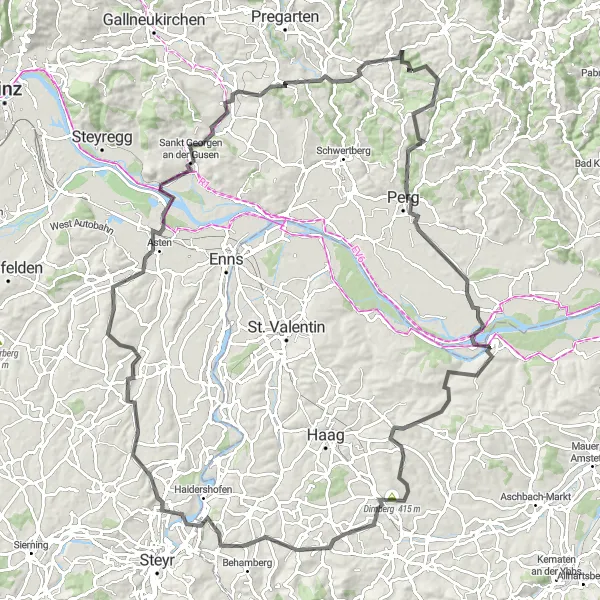
A thrilling road cycling route filled with scenic beauty and cultural highlights.
Experience the thrill of road cycling on this 118 km route starting near Tragwein. With a total ascent of 1514 meters, this challenging route will take you through picturesque landscapes and cultural attractions. From the Schneckenturm to Allerheiligen im Mühlkreis, Perg to Hummelberg, Dirnberg to Weistrach, Wachtberg to Dietach, and Asten Ortsmitte to Ruhstetten, every stop offers unique experiences and interesting facts. Along the way, don't miss the breathtaking views from the Teufelskanzel. This route is perfect for well-trained amateurs seeking an epic adventure.
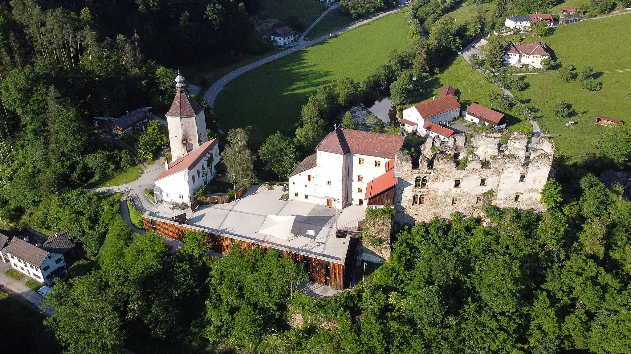
Explore the ruins of Burgruine Saxenegg
Embark on a thrilling gravel adventure to Saxenegg, a journey filled with natural beauty and history. Covering a distance of 65 kilometers and ascending 1740 meters, this route is ideal for gravel enthusiasts. Along the way, you'll encounter several highlights, including Bad Zell, known for its healing springs. The highlight of the trip is the visit to Burgruine Saxenegg, an ancient castle ruin perched on a hilltop. The route also takes you through scenic locations like Ellerberg and Aglasberg, offering breathtaking views of the surrounding landscapes. If you're looking for an epic gravel ride near Tragwein, this route is definitely worth considering.
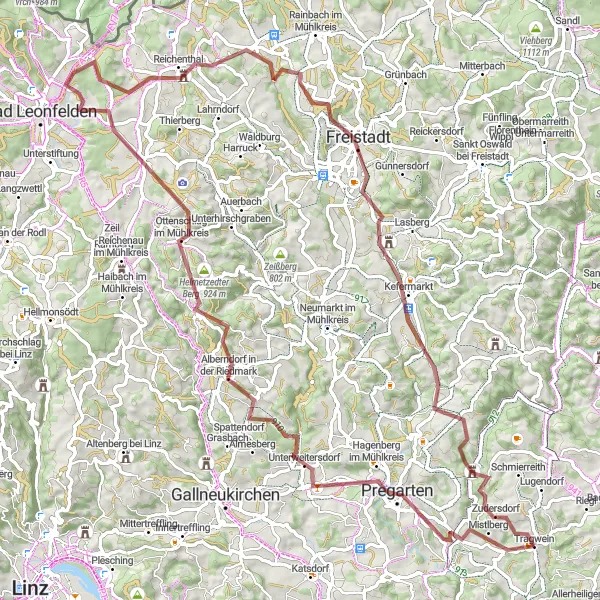
Embark on an epic gravel adventure through scenic landscapes and explore charming rural villages near Tragwein.
The Gravel Adventure is a challenging gravel route that takes you through scenic landscapes and explores charming rural villages near Tragwein. With a total distance of 93 kilometers and an ascent of 1,842 meters, this route is perfect for experienced cyclists looking for an off-road adventure. Highlights along the route include Pregarten, Alberndorf in der Riedmark, Roadlberg, Sauberg, Reichenthal, Gruberbühel, Freistadt, and Burgruine Reichenstein. These attractions offer a glimpse into the region's history and showcase its natural beauty.
Cycling routes nearby:
Nearby regions: