Greisingberg Loop
A road cycling route starting from Tragwein
Ride through the picturesque Greisingberg
Map
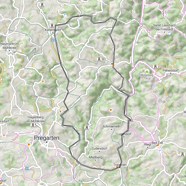
The Greisingberg Loop takes you on a scenic cycling adventure through the beautiful landscapes near Tragwein. With a total distance of 45 kilometers and an ascent of 923 meters, this road route is suitable for experienced cyclists. Along the way, you will encounter several highlights, including Greisingberg, a charming hill known for its stunning views. The route also passes by Schloss Weinberg and Buchberg, offering opportunities to explore historic landmarks. For a memorable ride in Oberösterreich, the Greisingberg Loop is a must-try.
road
45 km
923 m
Tough
Route profile
Highlights on the route
0 km
0 km
Start: Tragwein Village centerTragwein: Explore the enchanting landscapes and challenging routes of Tragwein.
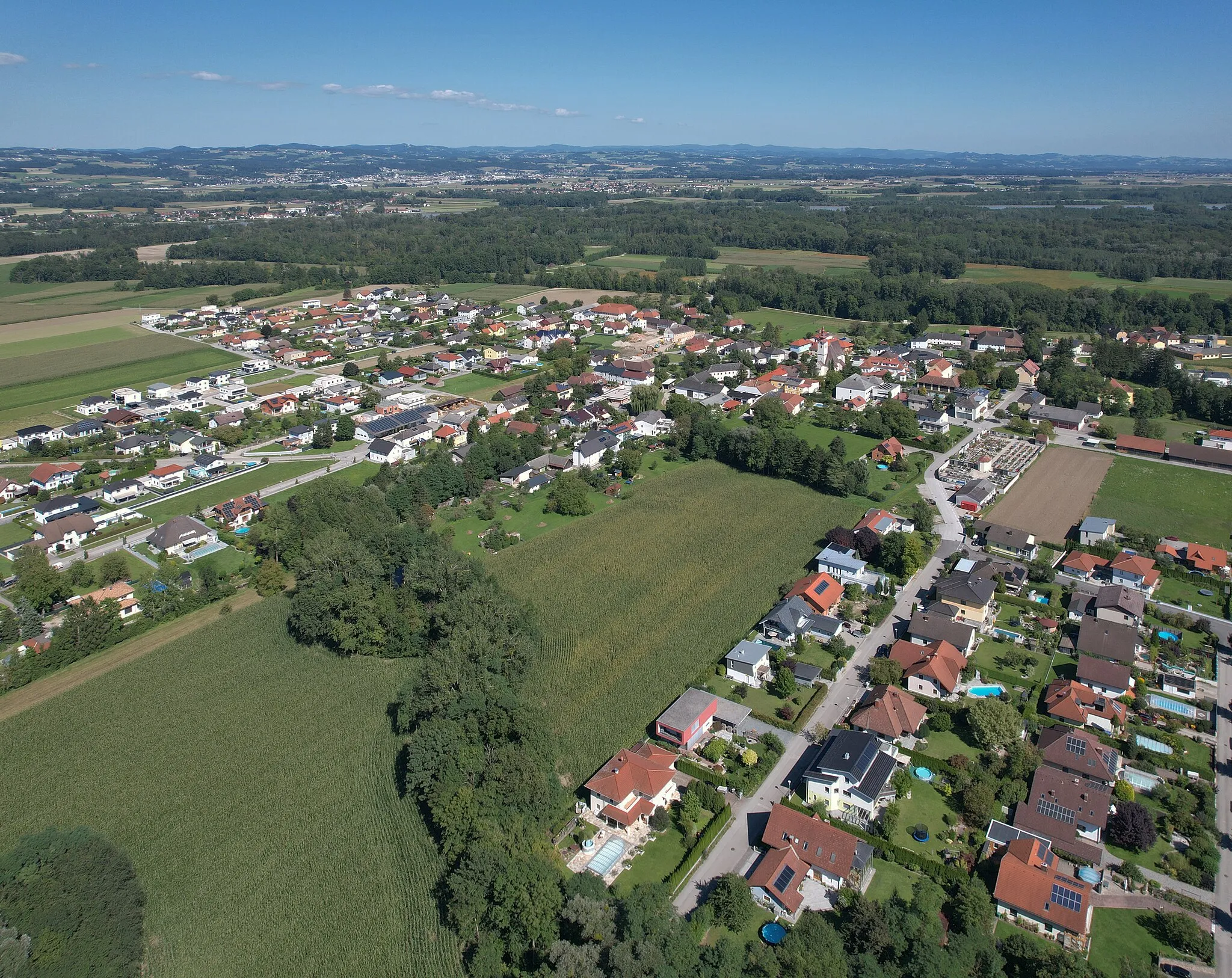
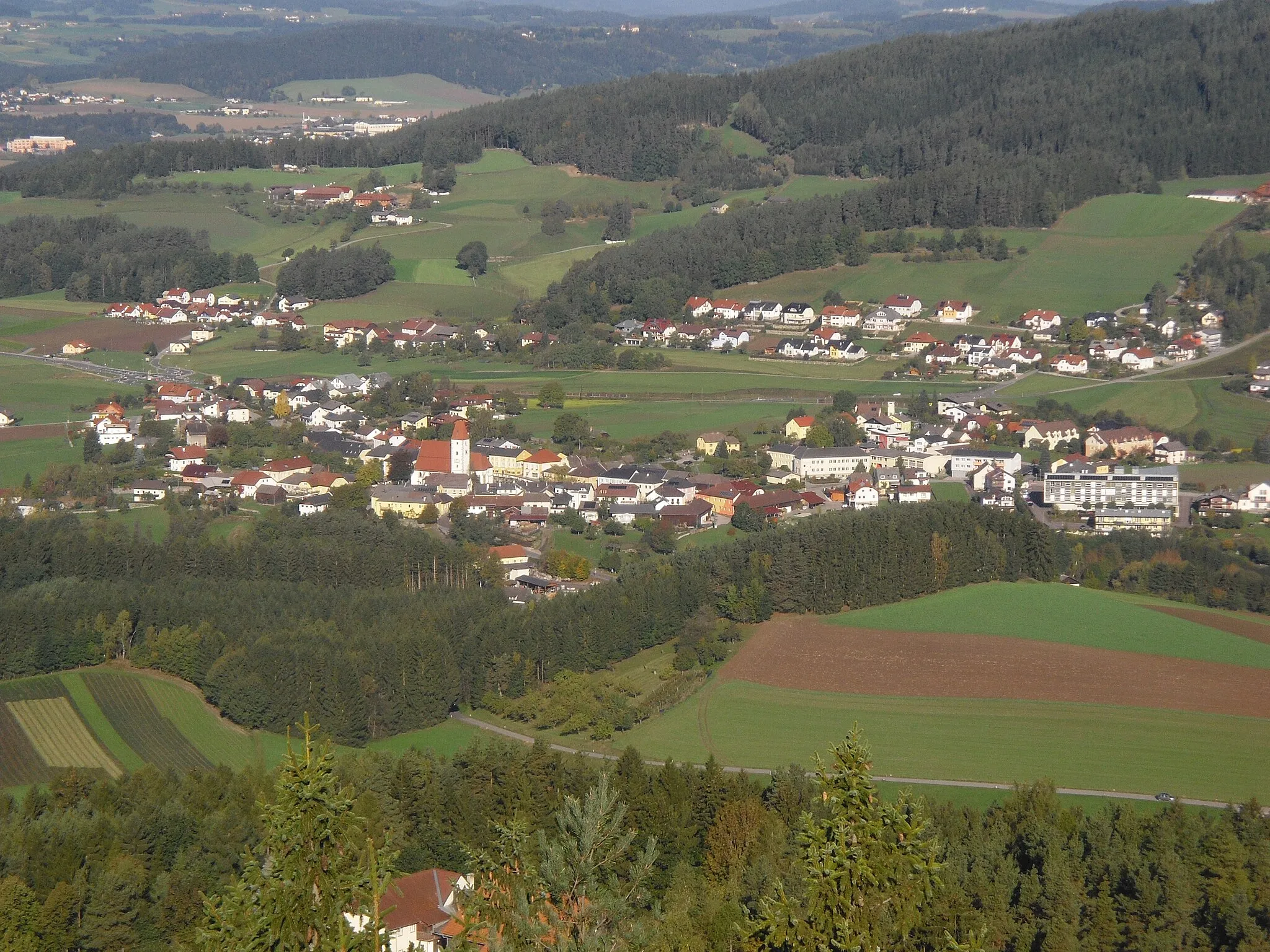
Tragwein, situated in Oberösterreich, Austria, is a tranquil locality perfect for road and gravel cycling. Surrounded by lush forests, rolling hills, and idyllic countryside, Tragwein offers picturesque routes that are both enjoyable and challenging. Cyclists can pedal through charming villages, discover scenic viewpoints, and experience the beauty of the region's nature. Tragwein is located near the Mühlviertel region, which is known for its impressive climbs, including the Sternstein, attracting many avid cyclists. With its serene atmosphere and stunning landscapes, Tragwein is a 3/5 location for cyclists.5 km
5 km
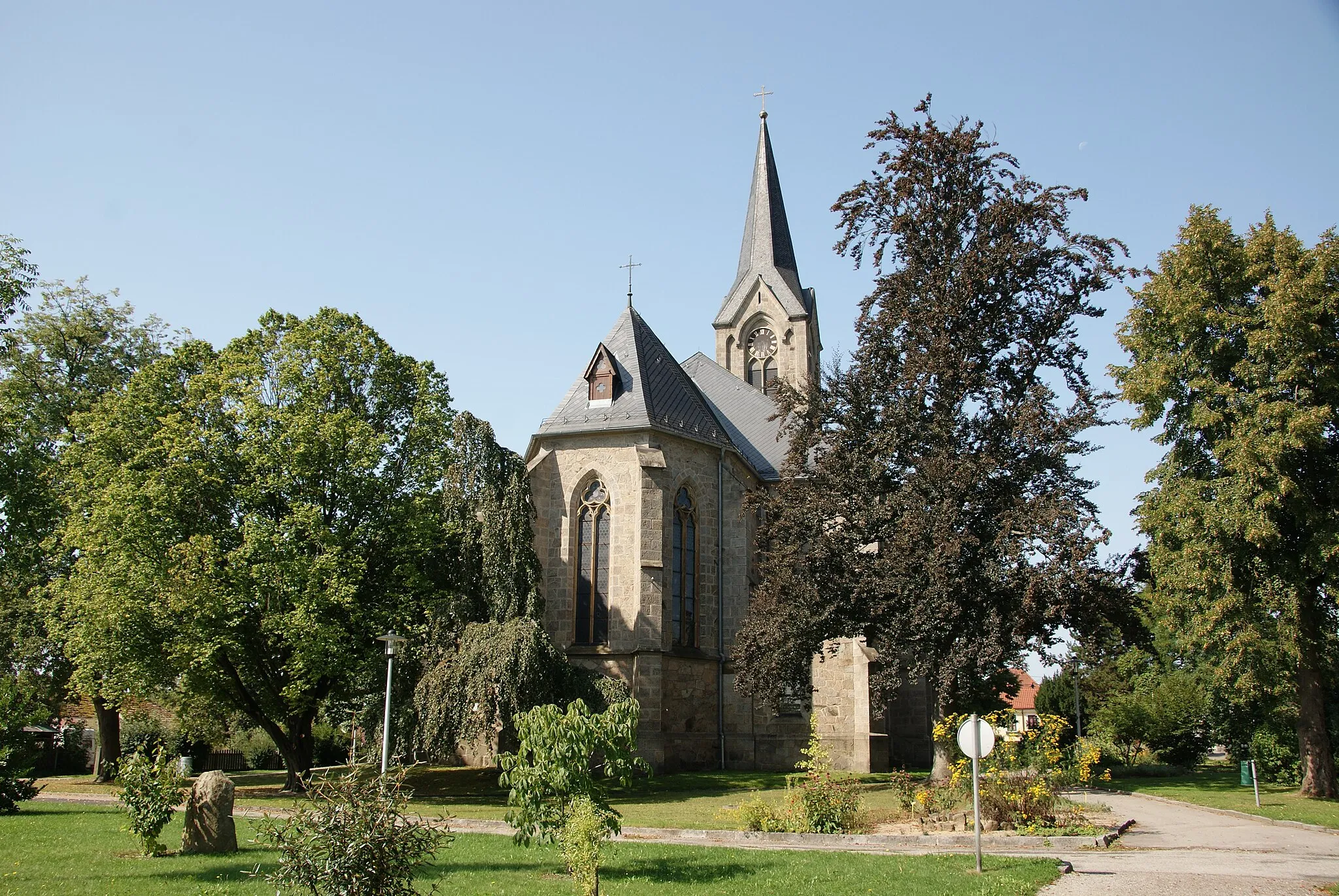
GreisingbergHamletGreisingberg offers breathtaking panoramic views of the surrounding countryside.
20 km
20 km
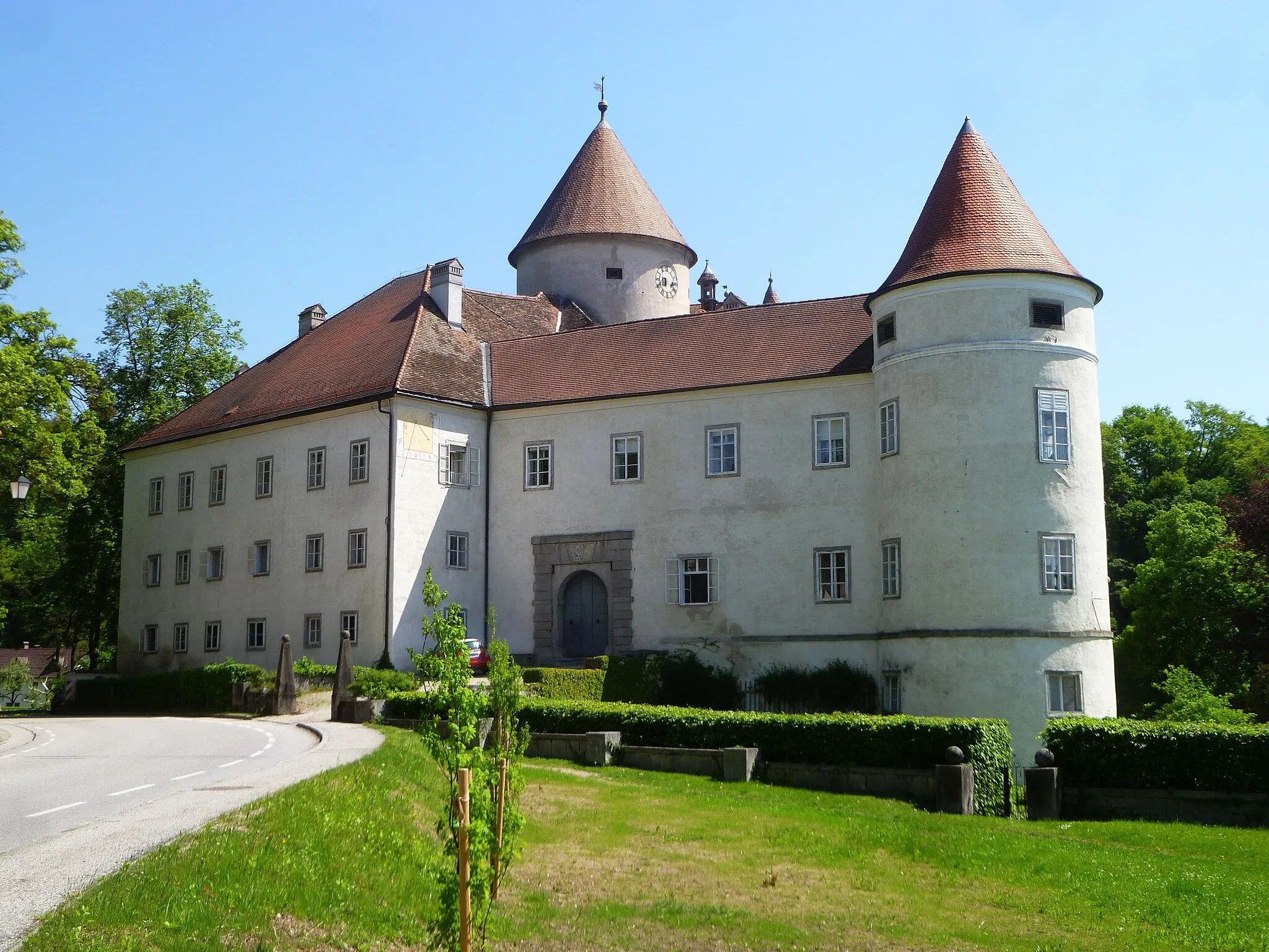
Schloss WeinbergCastleSchloss Weinberg, a magnificent castle dating back to the 13th century.
22 km
22 km
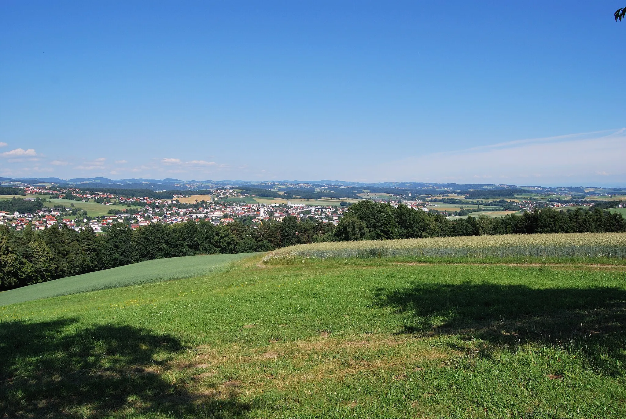
Buchberg813 mPeakBuchberg, a small village with quaint architecture and scenic surroundings.
32 km
32 km
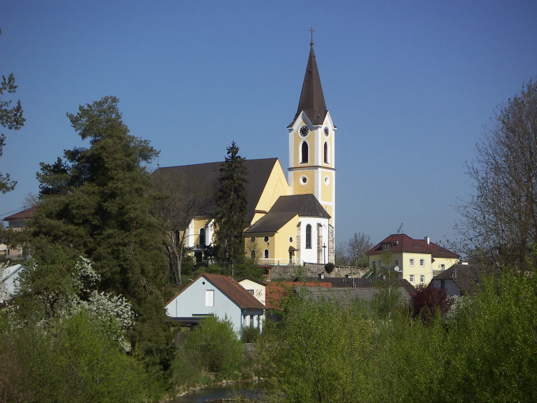
GutauVillageGutau, a charming town with a rich cultural heritage and picturesque streets.
33 km
33 km
Boblberg674 mPeakBoblberg, a hill offering scenic views of Tragwein and its surroundings.
45 km
45 km
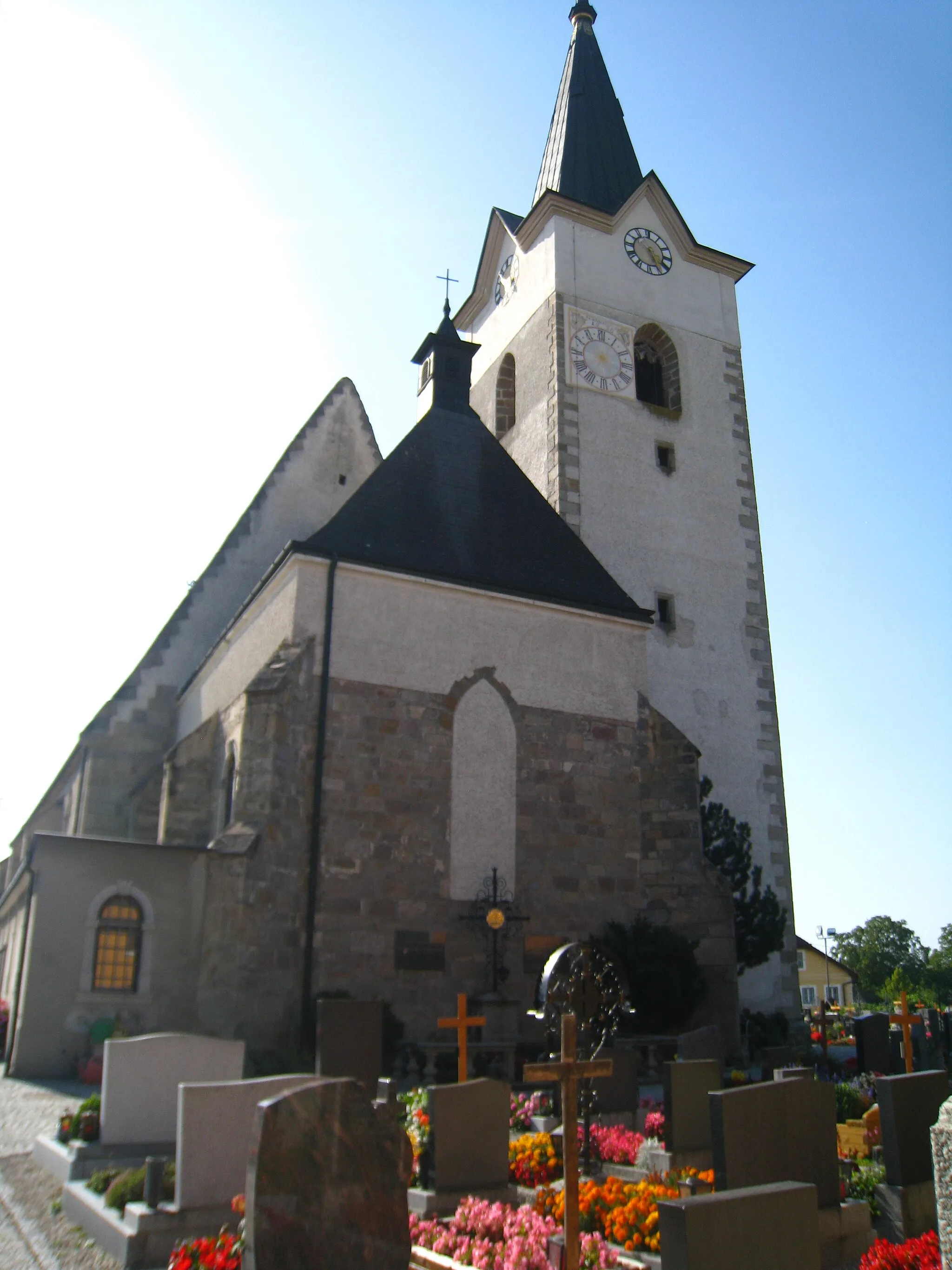
TragweinVillageTragwein, your starting point, is a picturesque town with a charming atmosphere.
45 km
45 km
Finish: Tragwein Village centerTragwein: Explore the enchanting landscapes and challenging routes of Tragwein.
Cycling routes nearby: