The Ultimate Cycling Challenge
A road cycling route starting from Tragwein
Embark on the ultimate cycling challenge and conquer legendary climbs and scenic routes near Tragwein.
Map
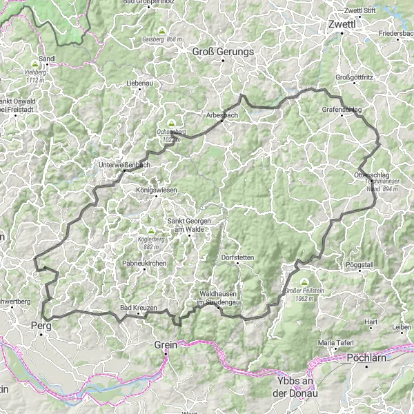
The Ultimate Cycling Challenge is an epic road cycling route that offers a true test of endurance near Tragwein. Covering a distance of 161 kilometers and with a demanding ascent of 3,186 meters, this route is only suitable for experienced and well-trained cyclists. Highlights along the route include Schönau im Mühlkreis, Unterweißenbach, Spöberg, Brandberg, Rappottenstein, Schafberger Höhe, Sallingberg, Hasenkogel, Martinsberg, Gmaining, Totenkopf, Waldhausen im Strudengau, Wetzlstein, Koppler Föhre, Karlingberg, Allerheiligen im Mühlkreis, and Schneckenturm. These attractions offer breathtaking views, challenging climbs, and a variety of landscapes, making it a memorable and rewarding cycling experience.
road
161 km
3186 m
Savage
Route profile
Highlights on the route
0 km
0 km
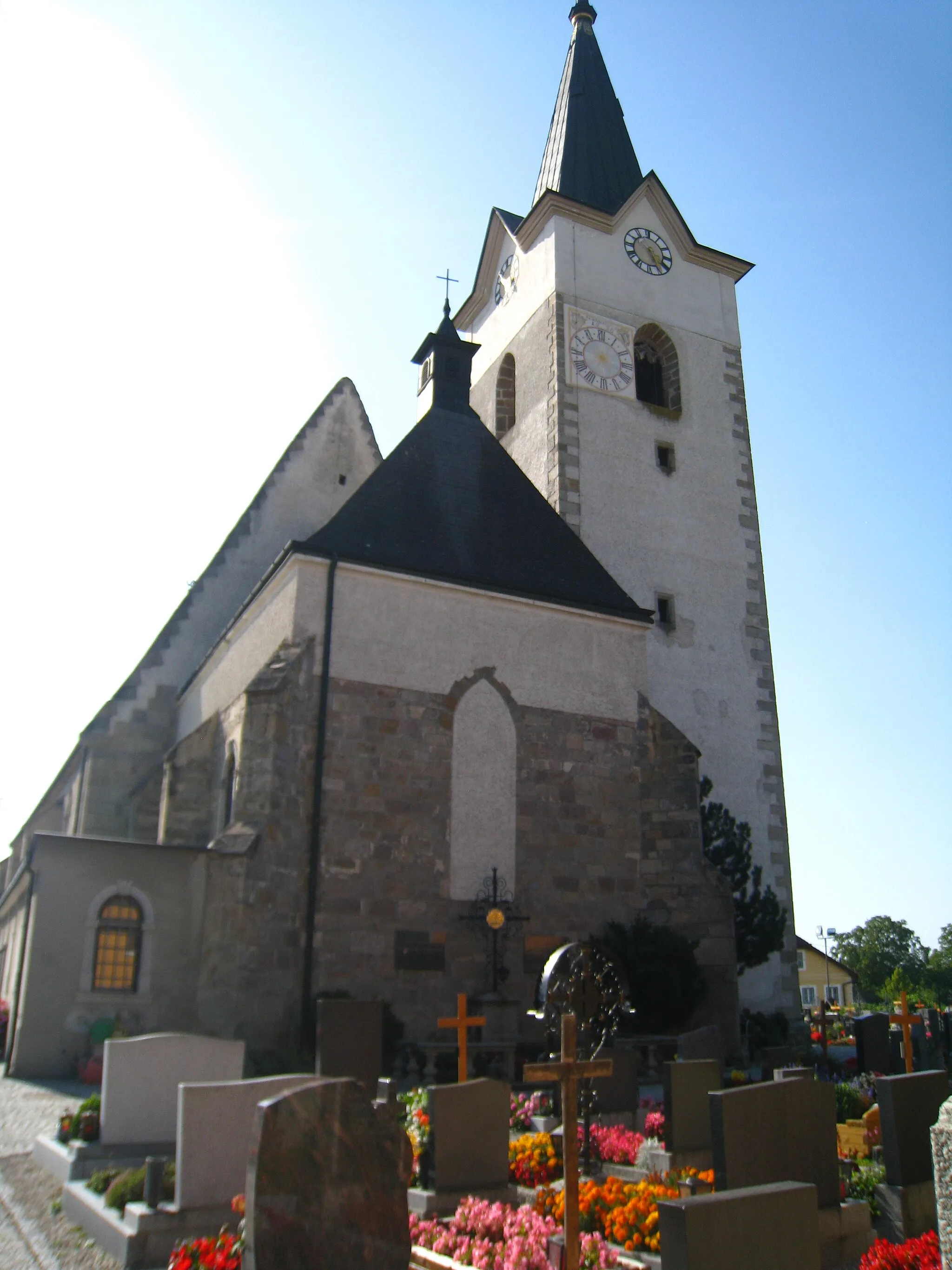
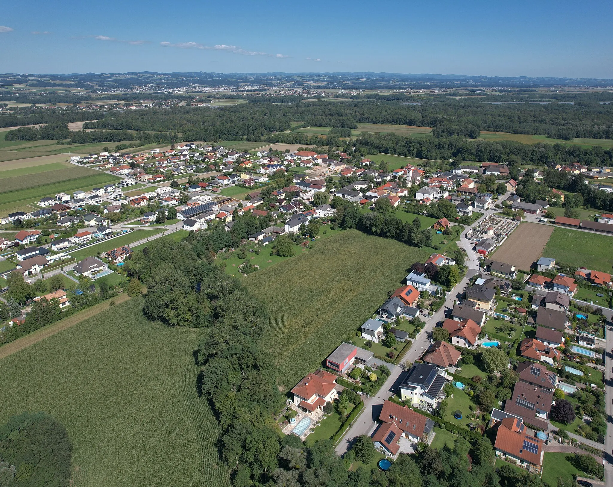
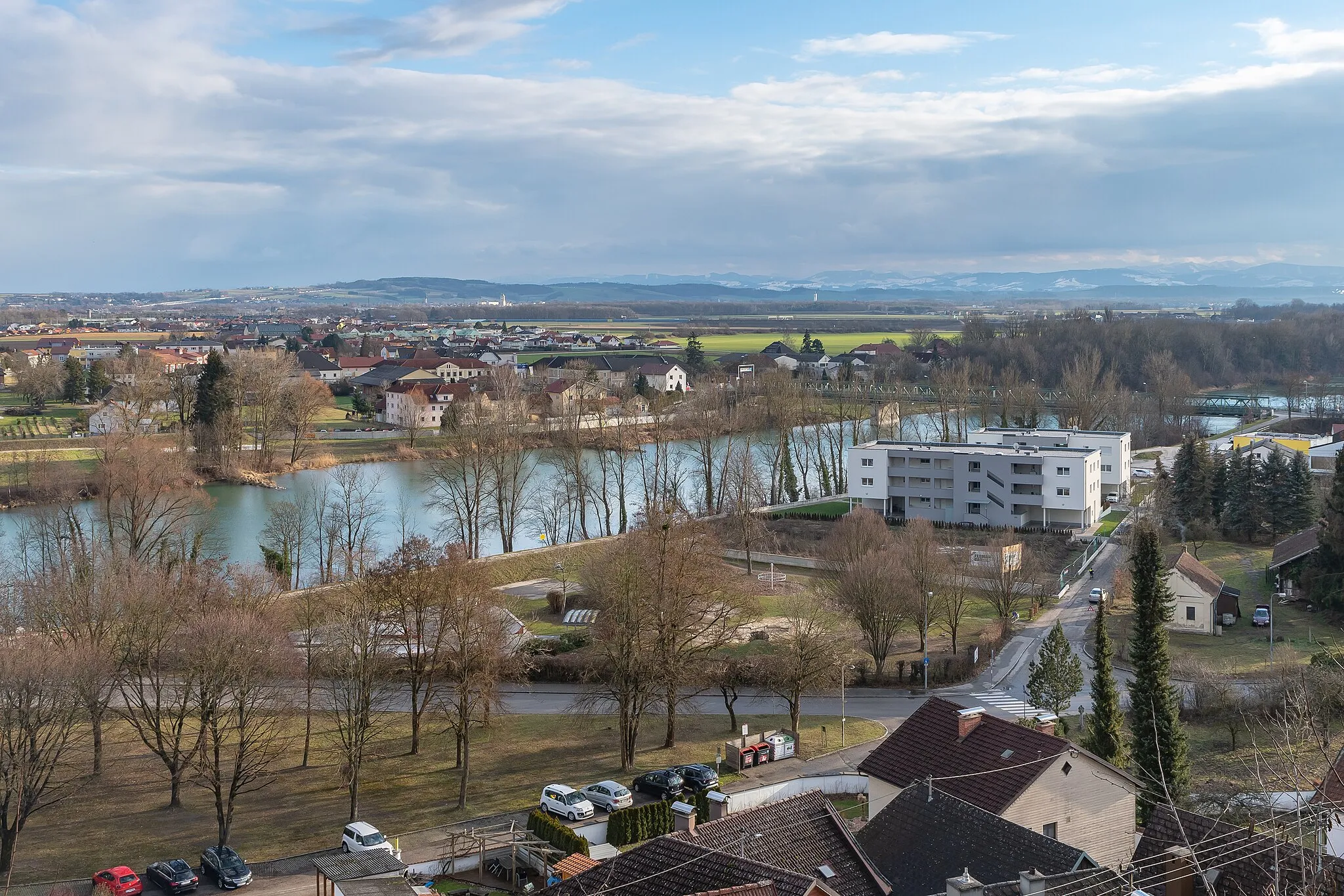
Start: Tragwein Village centerTragwein: Explore the enchanting landscapes and challenging routes of Tragwein.
Tragwein, situated in Oberösterreich, Austria, is a tranquil locality perfect for road and gravel cycling. Surrounded by lush forests, rolling hills, and idyllic countryside, Tragwein offers picturesque routes that are both enjoyable and challenging. Cyclists can pedal through charming villages, discover scenic viewpoints, and experience the beauty of the region's nature. Tragwein is located near the Mühlviertel region, which is known for its impressive climbs, including the Sternstein, attracting many avid cyclists. With its serene atmosphere and stunning landscapes, Tragwein is a 3/5 location for cyclists.12 km
12 km
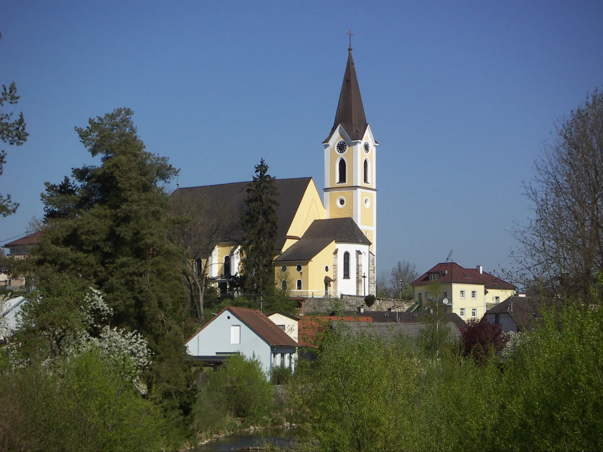
Schönau im MühlkreisVillageExplore the charming town of Schönau im Mühlkreis and its scenic surroundings.
20 km
20 km
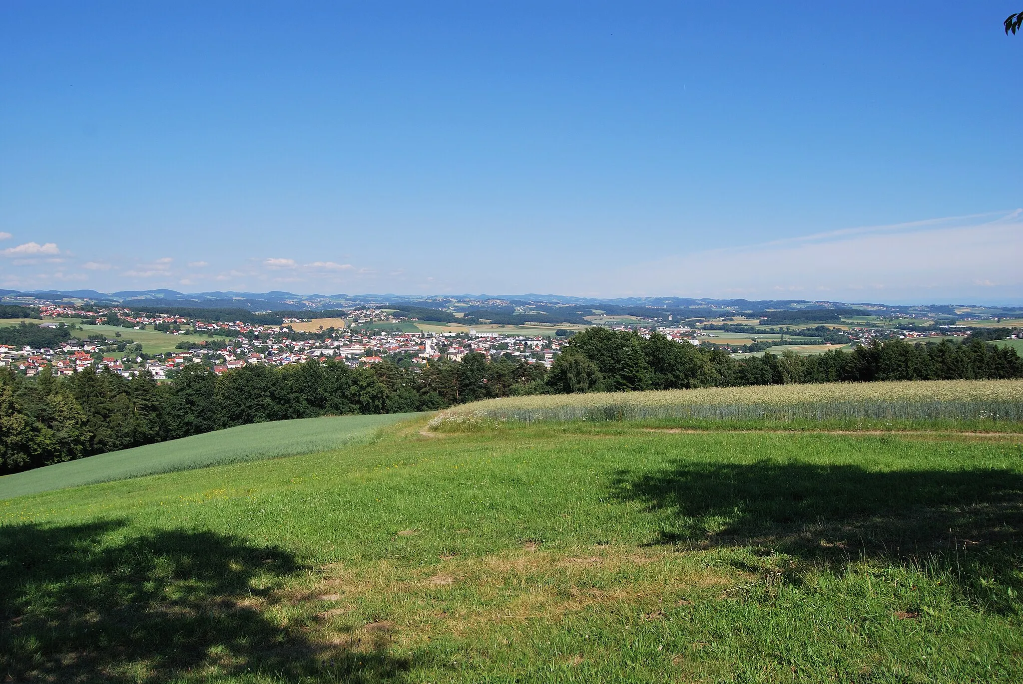
UnterweißenbachVillageChallenge yourself with the challenging climb to Unterweißenbach.
35 km
35 km
Spöberg947 mPeakEnjoy the serene beauty of Spöberg, a quaint village nestled in the picturesque countryside.
48 km
48 km
Brandberg816 mPeakConquer the ascent of Brandberg and be rewarded with stunning panoramic vistas.
53 km
53 km
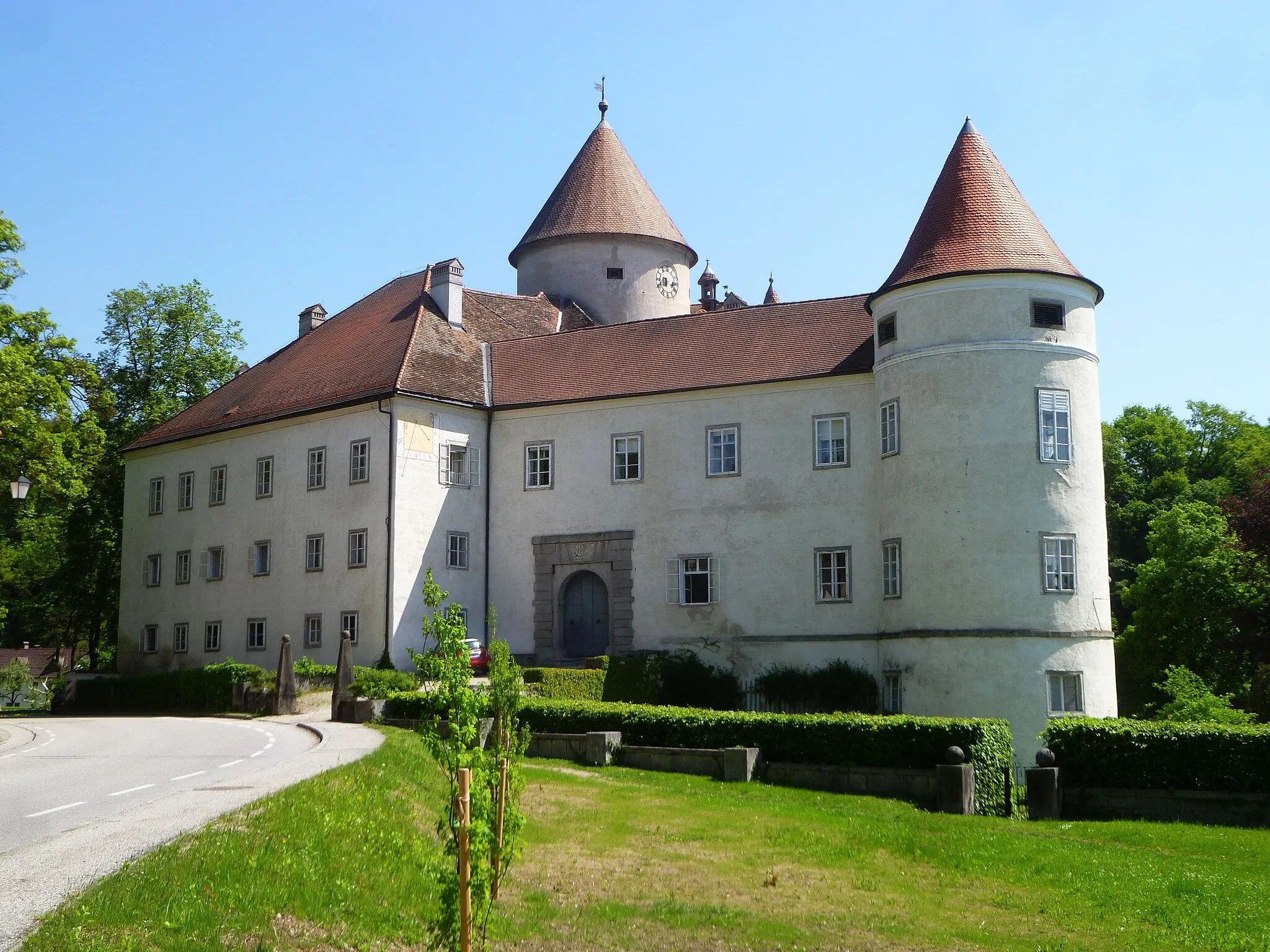
RappottensteinVillageExplore the historic town of Rappottenstein, known for its medieval castle and charming atmosphere.
62 km
62 km
Schafberger Höhe780 mPeakClimb up Schafberger Höhe and be treated to panoramic views of the surrounding landscape.
70 km
70 km
SallingbergVillagePass through the scenic village of Sallingberg, surrounded by rolling hills.
85 km
85 km
Hasenkogel860 mPeakChallenge yourself with the ascent of Hasenkogel and enjoy the stunning views from the top.
88 km
88 km
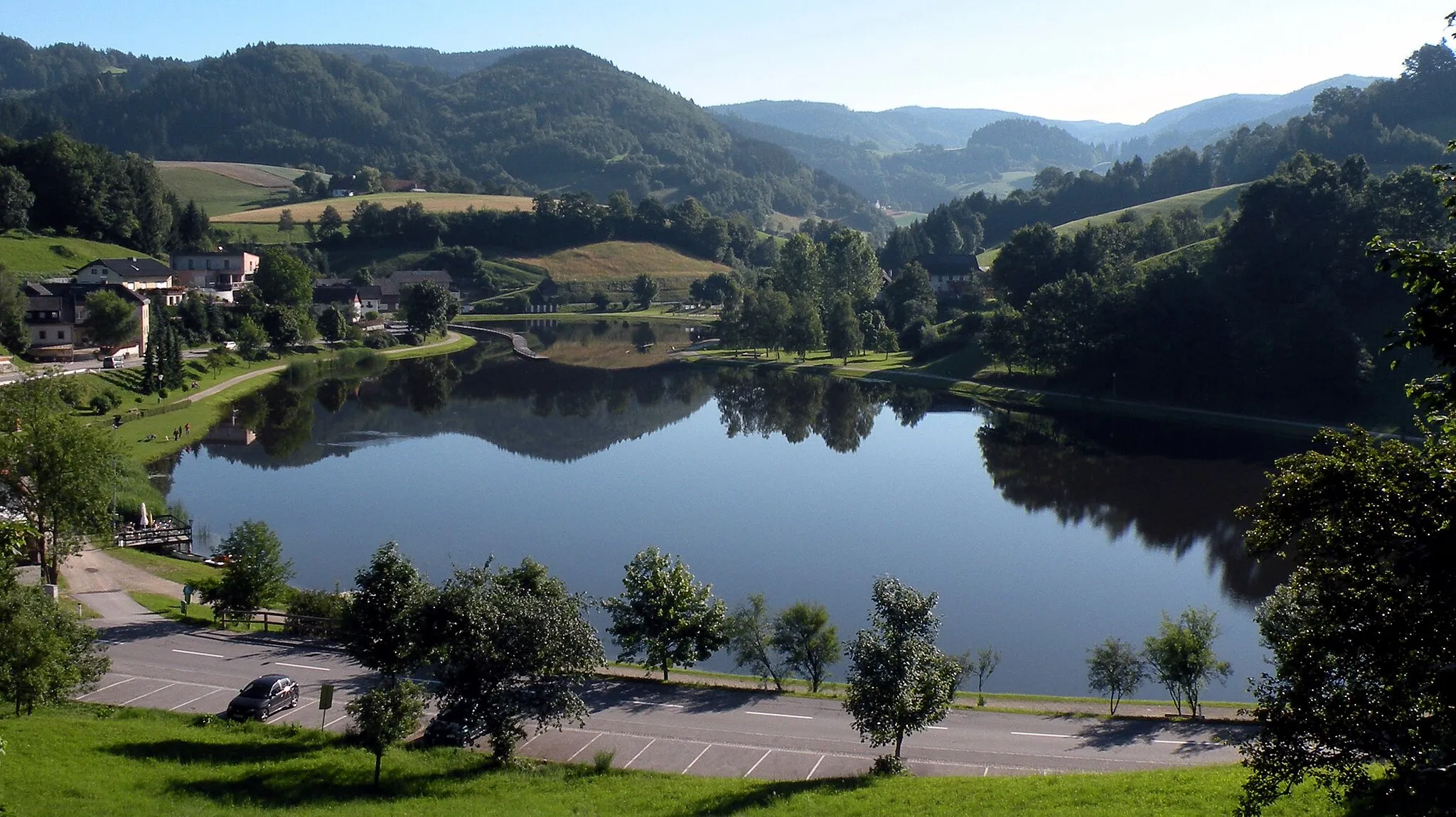
MartinsbergVillagePass through Martinsberg, a charming village with a rich history and beautiful lake.
98 km
98 km
GmainingHamletCycle through Gmaining and admire its picturesque landscapes and idyllic countryside.
105 km
105 km
Totenkopf775 mPeakDiscover the imposing Totenkopf mountain, known for its rocky cliffs and stunning views.
115 km
115 km
Waldhausen im StrudengauVillageExplore the charming town of Waldhausen im Strudengau, with its historic buildings and scenic setting.
127 km
127 km
Wetzlstein641 mPeakVisit Wetzlstein, a picturesque village surrounded by lush green meadows and rolling hills.
140 km
140 km
Koppler FöhreViewpointMake a stop at Koppler Föhre, a historic pine tree that is said to have provided shade to travelers for centuries.
146 km
146 km
KarlingbergHamletClimb up Karlingberg and enjoy the rewarding panoramic views from the top.
154 km
154 km
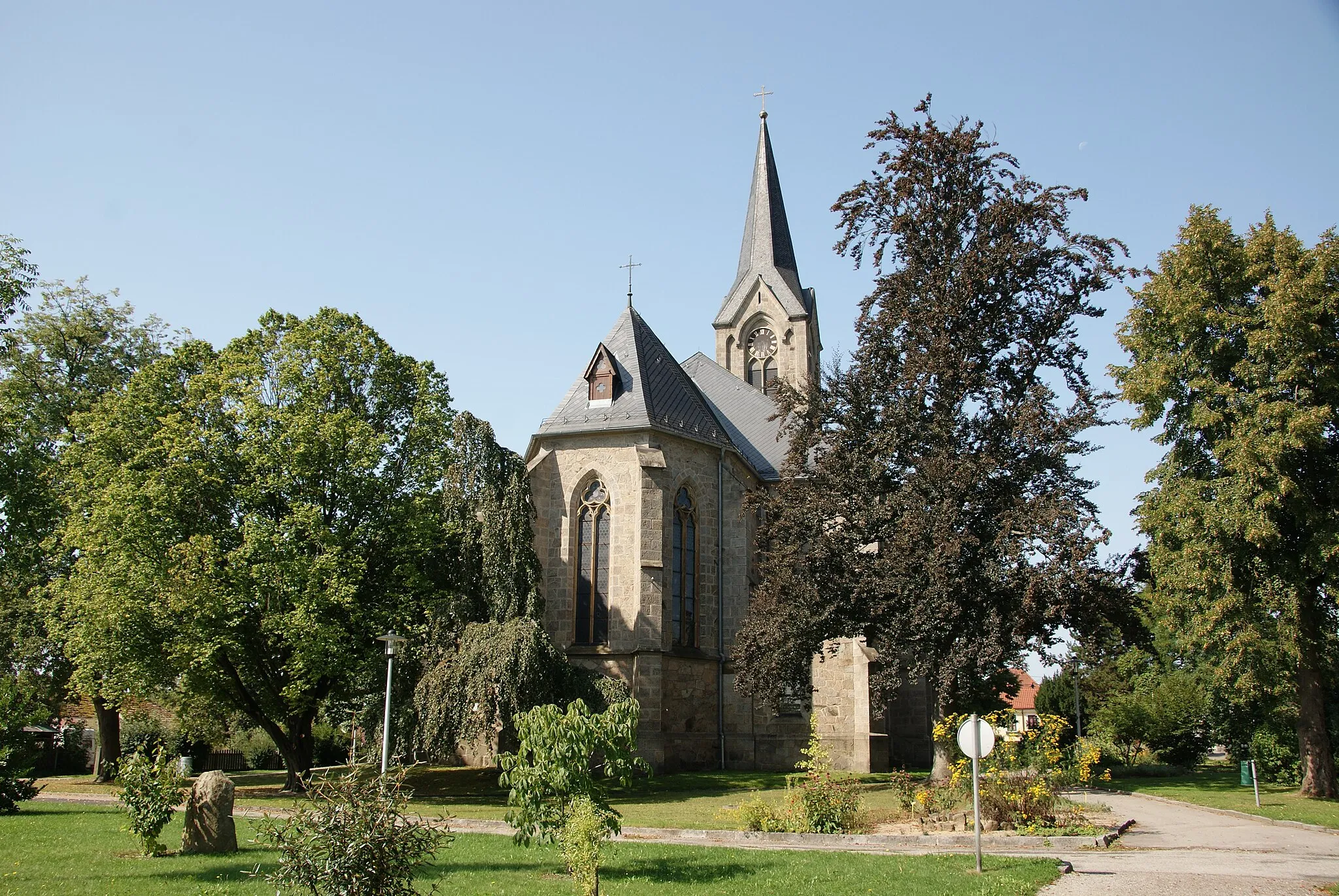
Allerheiligen im MühlkreisVillageVisit Allerheiligen im Mühlkreis and explore its beautiful church and surrounding landscapes.
154 km
154 km
SchneckenturmViewpointMake a detour to Schneckenturm and soak in the breathtaking panoramic views of the region.
161 km
161 km
Finish: Tragwein Village centerTragwein: Explore the enchanting landscapes and challenging routes of Tragwein.
Cycling routes nearby: