Mountain Challenge
A road cycling route starting from Thal
A challenging road cycling route with exhilarating mountain climbs
Map
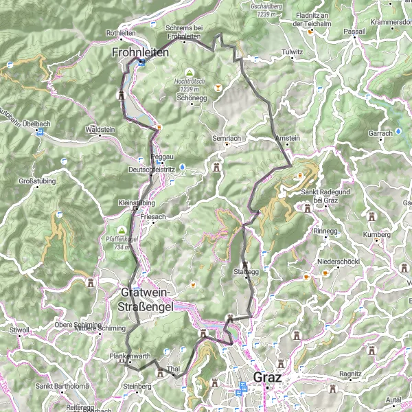
The Mountain Challenge route offers a thrilling cycling experience for those seeking a challenge. With a distance of 73km and an ascent of 1,472m, this road cycling route guarantees exhilarating mountain climbs and breathtaking views. Starting near Thal, the route takes you through highlights such as Generalkogel and Kugelstein. The difficulty level of this route is rated as a 4, suitable for experienced cyclists. The epicness of the Mountain Challenge is rated at 4 due to its scenic beauty and challenging climbs. Highlights along the route include Harterberg, Schöckl, and Stattegg, offering impressive panoramic views and memorable experiences.
road
73 km
1472 m
Tough
Route profile
Highlights on the route
0 km
0 km
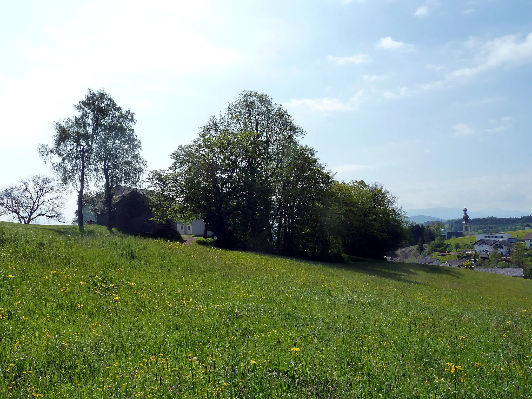
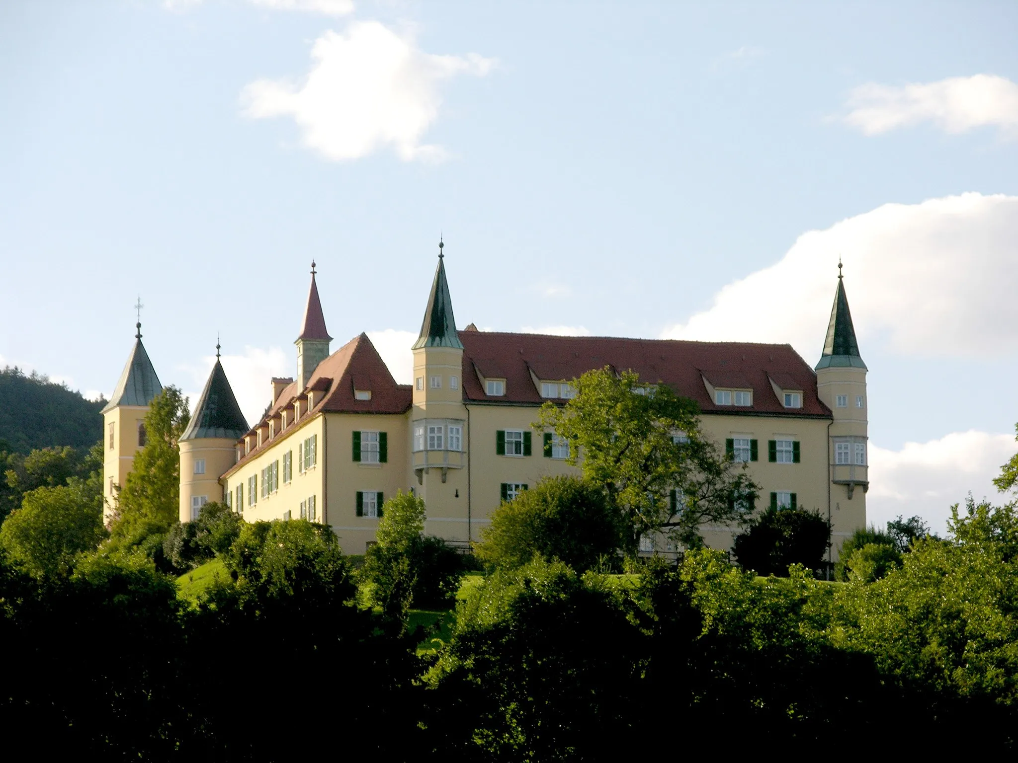
Start: Thal Village centerThal: Cycling Paradise in the Steiermark Region of Austria
Thal is a beautiful locality located in the Steiermark region of Austria. For road and gravel cyclists, Thal offers a variety of scenic routes through picturesque countryside and charming villages. The region is known for its rolling hills, making it suitable for both leisurely rides and more challenging climbs. Nearby, cyclists can find the famous Plassnik Runde loop, which features stunning views and moderate difficulty. Overall, Thal is a cyclist's paradise, with plenty of opportunities for exploration and breathtaking scenery.5 km
5 km
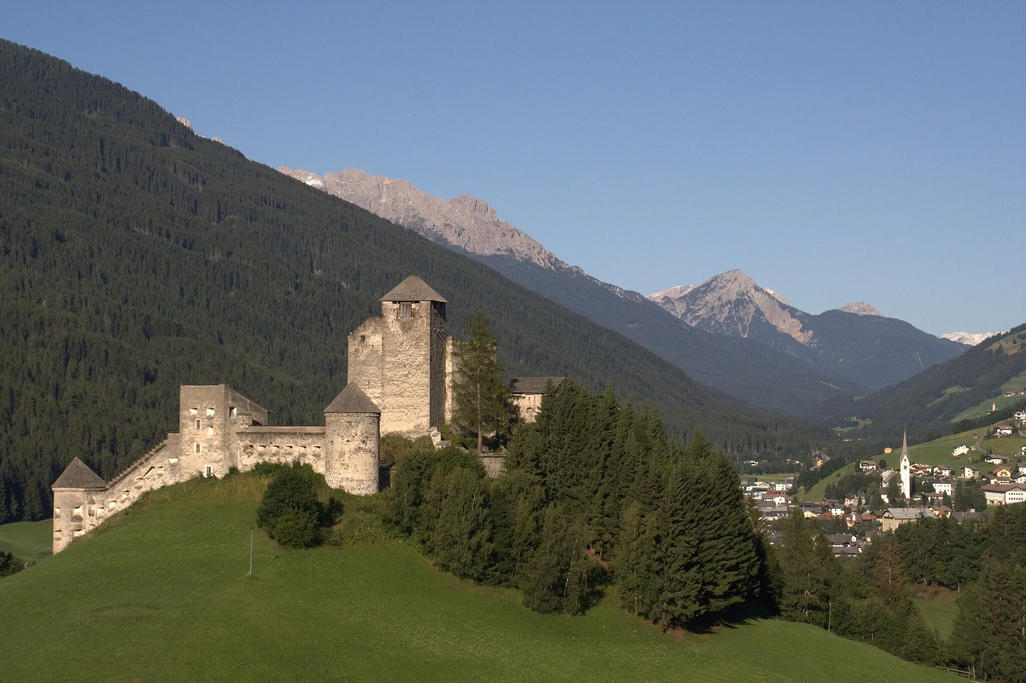
Generalkogel713 mPeakGeneralkogel offers challenging mountain climbs and rewarding views.
9 km
9 km
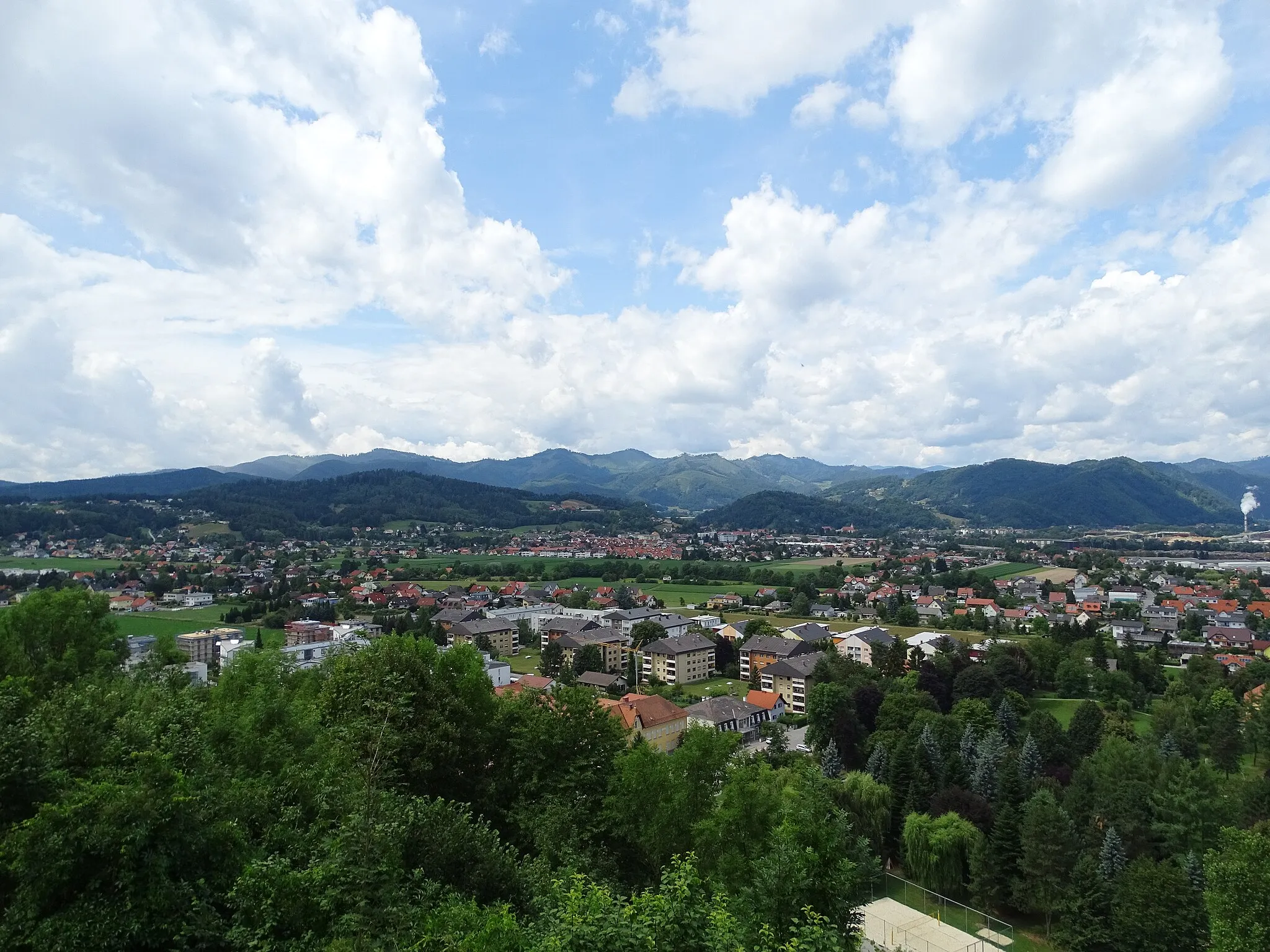
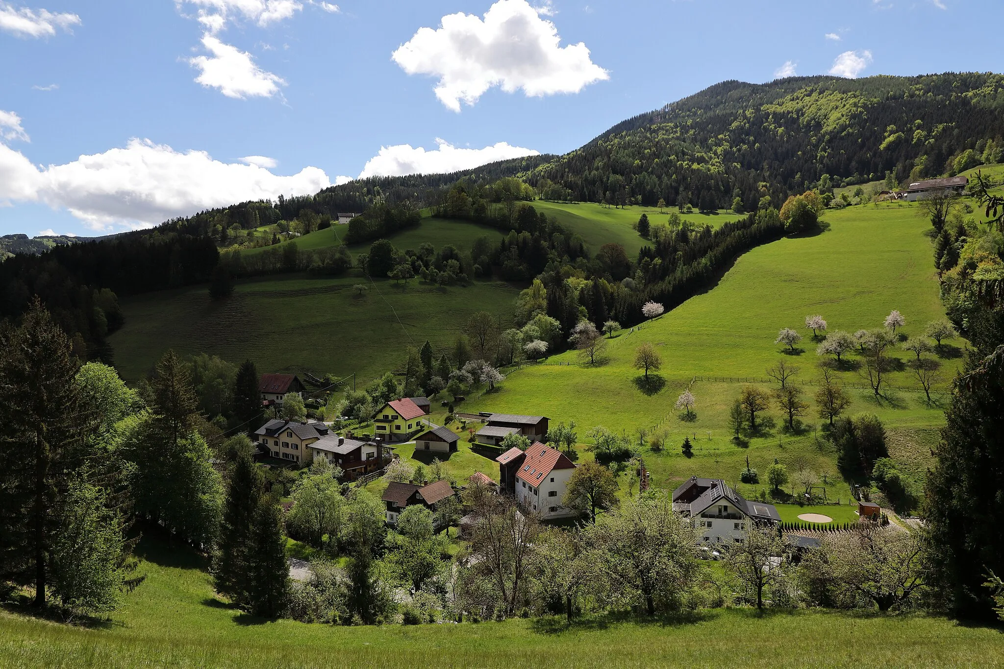
GratweinSub-urbGratwein is a charming village surrounded by scenic mountain landscapes.
18 km
18 km
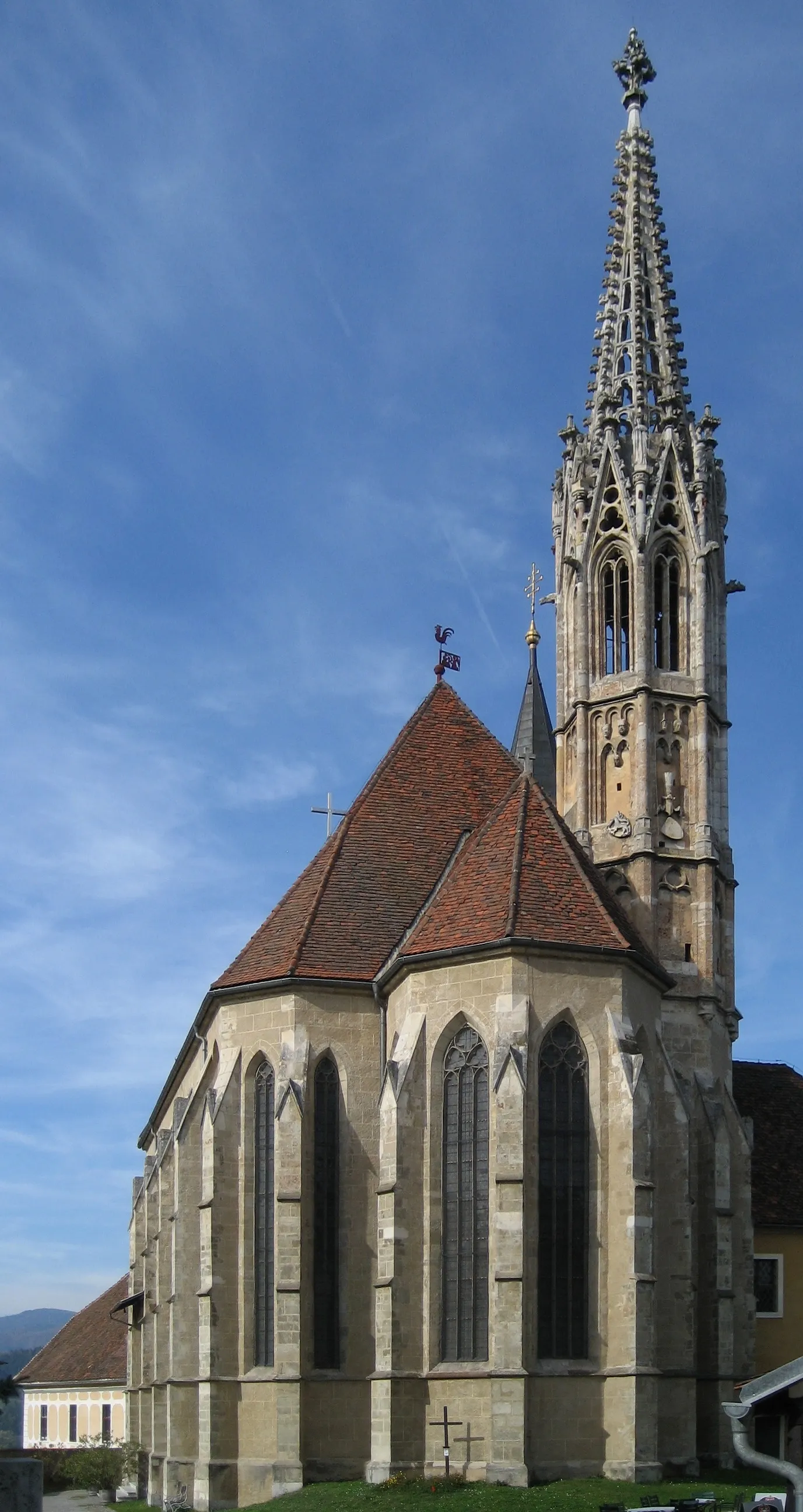
DeutschfeistritzVillageDeutschfeistritz features historic landmarks and stunning nature.
21 km
21 km
Kugelstein538 mPeakKugelstein offers panoramic views and tranquil surroundings for cyclists.
33 km
33 km
Schrems bei FrohnleitenVillageSchrems bei Frohnleiten is a picturesque village worth a visit.
37 km
37 km
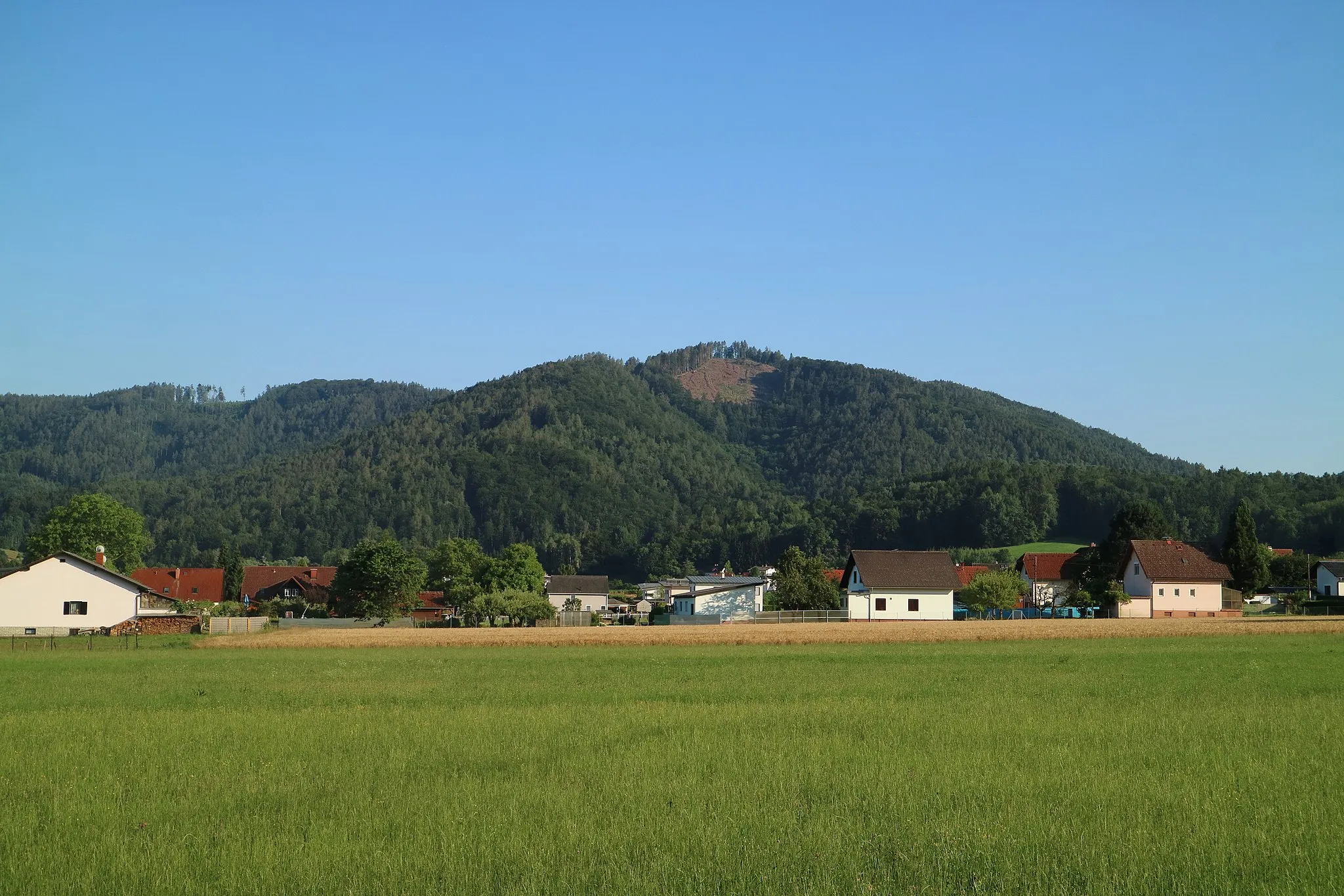
Harterberg1036 mPeakHarterberg features challenging climbs rewarded with beautiful vistas.
49 km
49 km
Schöckl1445 mPeakSchöckl is a legendary climb and must-visit spot for cyclists.
60 km
60 km
StatteggVillageStattegg offers pristine nature and stunning views of the surroundings.
72 km
72 km
Madersberg540 mPeakMadersberg is surrounded by enchanting landscapes and lush vegetation.
72 km
72 km
PlabutschHamletPlabutsch showcases a mix of challenging terrain and scenic beauty.
73 km
73 km
Finish: Thal Village centerThal: Cycling Paradise in the Steiermark Region of Austria
Cycling routes nearby: