Gravel Adventure to Vorarlberg's Highlands
A gravel cycling route starting from Altach
Explore the highlands of Vorarlberg on this gravel adventure
Map

This challenging 95km gravel route takes you through the scenic highlands of Vorarlberg, showcasing stunning mountain views and picturesque villages. With a total ascent of 3493m, the route offers a mix of challenging climbs and rewarding descents. The diverse terrain includes forest trails, gravel roads, and some technical sections, making it suitable for experienced gravel riders. The route also passes through several highlights, including the historic town of Hohenems and the breathtaking Faschinajoch pass. Overall, this route provides a thrilling off-road adventure in the heart of Vorarlberg.
gravel
95 km
3493 m
Tough
Route profile
Highlights on the route
0 km
0 km
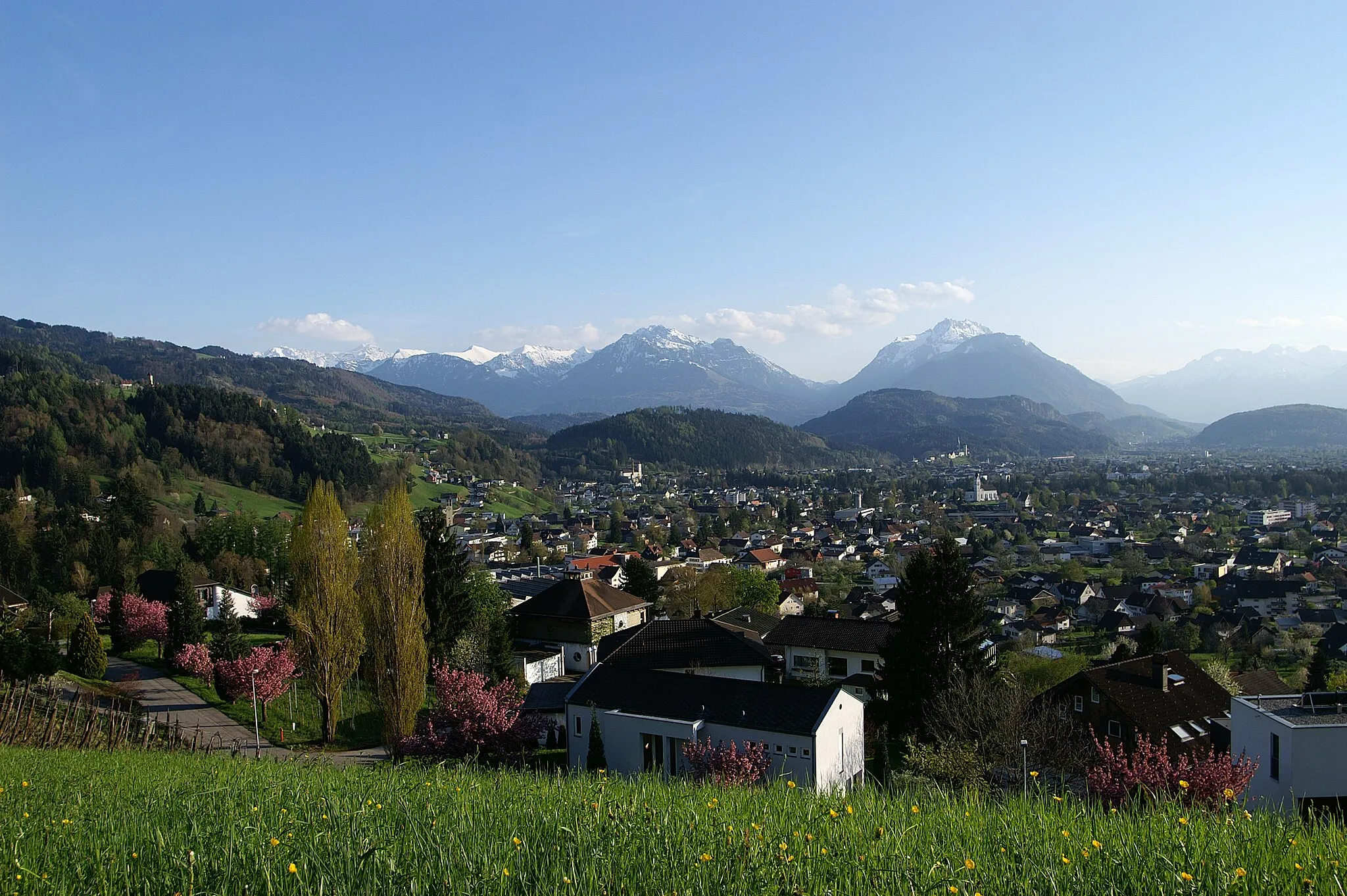
Start: Altach Village centerAltach: Alpine Paradise in Vorarlberg, Austria
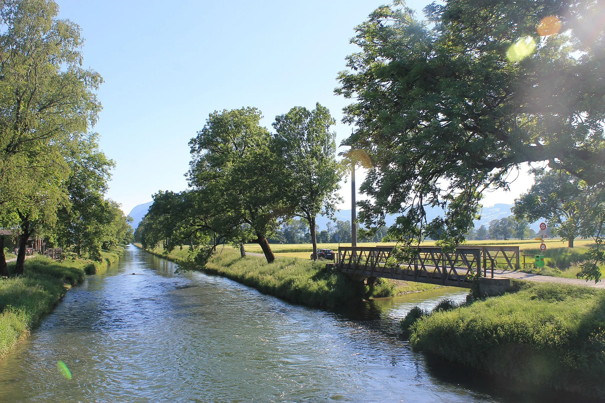
Altach, located in Vorarlberg, Austria, is a charming locality for road and gravel cyclists. Surrounded by breathtaking mountain scenery, Altach offers cyclists an unparalleled alpine experience. The region is famous for its well-maintained roads and extensive network of cycling routes, catering to all skill levels. Cyclists can enjoy thrilling climbs in the nearby mountains or opt for peaceful rides along picturesque meadows. Altach is also within close proximity to the renowned Silvretta High Alpine Road, attracting cyclists from all over the world. With its natural beauty and cycling-friendly infrastructure, Altach is a top destination for road and gravel cycling enthusiasts.3 km
3 km
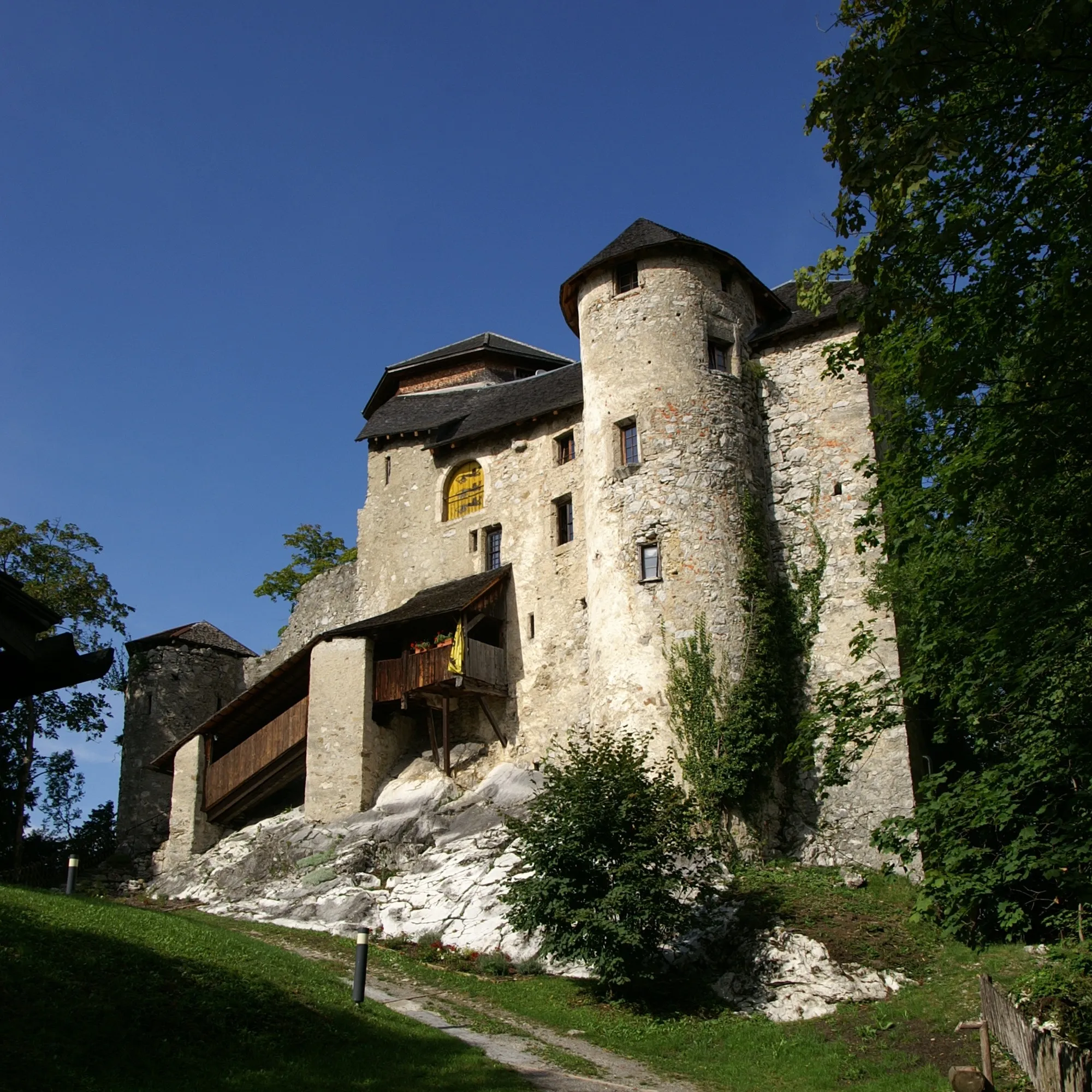
HohenemsTownHohenems is a charming historic town with a rich cultural heritage, including its former Jewish quarter and Renaissance-style palace.
10 km
10 km
Zanzenberg583 mPeakZanzenberg offers panoramic views of the surrounding mountains, making it a popular spot for hikers and cyclists.
33 km
33 km
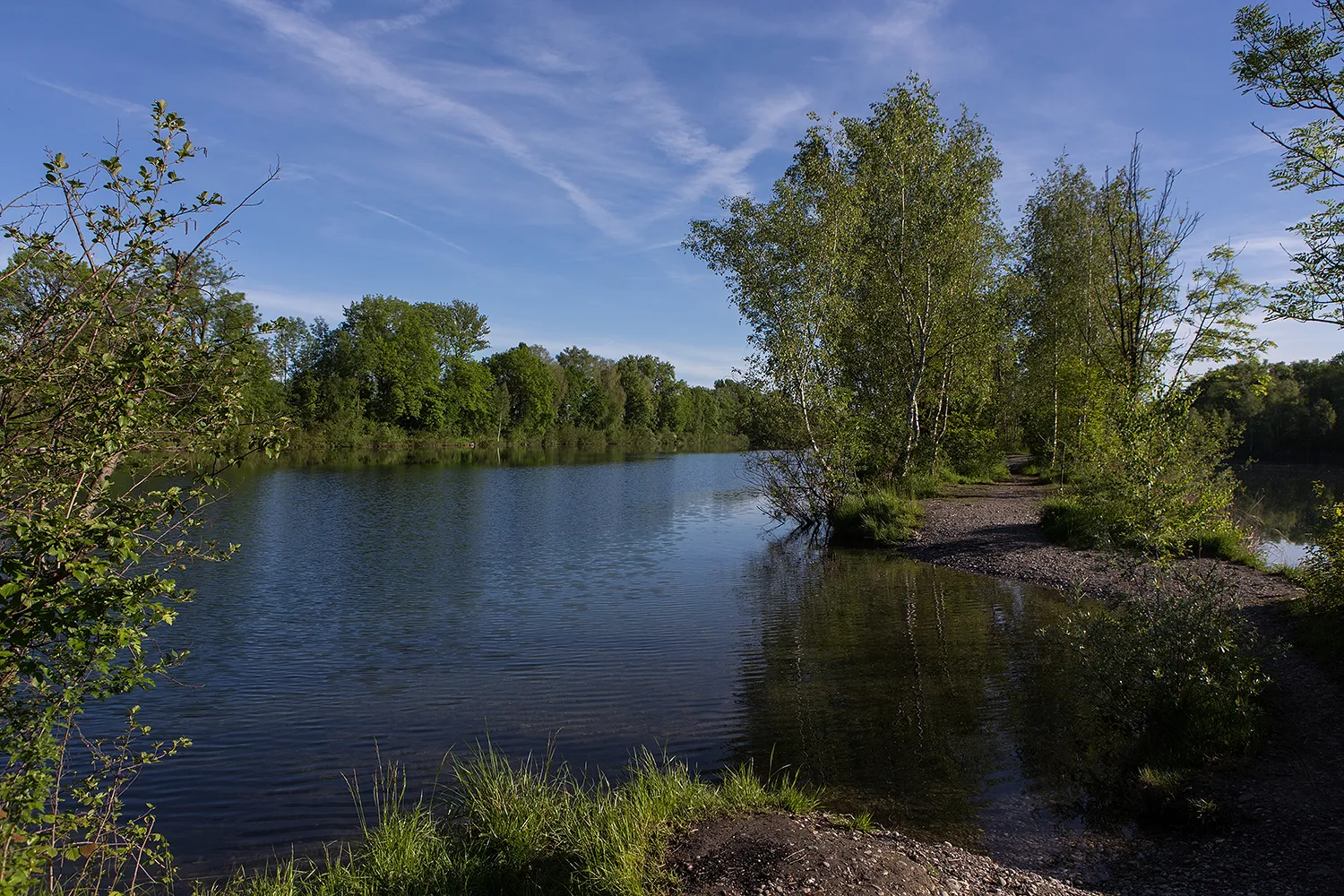
MellauVillageMellau is a picturesque village surrounded by lush green meadows and offers a great stopover for refreshments or a meal.
34 km
34 km
BödeleseggViewpointBödelesegg is a scenic viewpoint with stunning panoramic views of the mountains and valleys.
56 km
56 km
Faschinajoch1486 mMountain PassFaschinajoch is a legendary climb known for its challenging hairpin turns and dramatic mountain scenery.
57 km
57 km
DamülsVillageDamüls is the highest municipality in Vorarlberg and is known for its skiing and hiking opportunities.
80 km
80 km
Alpwegkopf1437 mViewpointAlpwegkopf is a beautiful forested area known for its peaceful surroundings and nature trails.
81 km
81 km
Laterns-ThalVillageLaterns-Thal is a popular recreational area offering various hiking, biking, and skiing options.
89 km
89 km
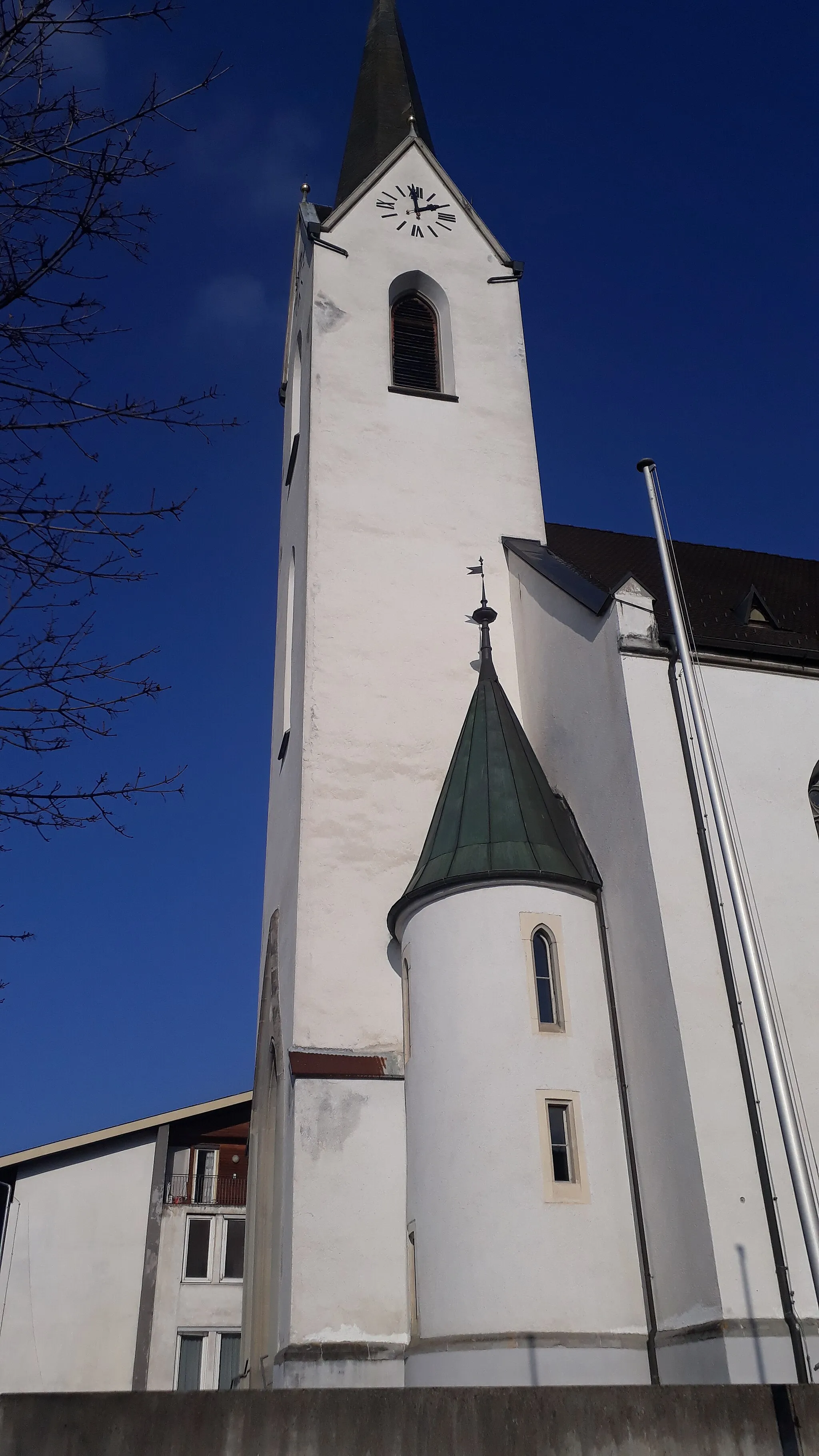
KlausVillageKlaus is a charming village with historical buildings and a tranquil atmosphere.
91 km
91 km
Therenberg565 mPeakTherenberg is a scenic mountain pass with breathtaking views of the surrounding landscape.
95 km
95 km
Finish: Altach Village centerAltach: Alpine Paradise in Vorarlberg, Austria
Cycling routes from Altach:
Altach to Altach: The Vorarlberg Adventure Gravel Delight: Exploring Vorarlberg's Countryside Vorarlberg Charm: A Scenic Road Cycling Experience Cycling through Vorarlberg's Serene Landscapes Ascending the Heights: Vorarlberg's Challenging Climb Gravel Adventure to Vorarlberg's Highlands Cultural and Scenic Tour of Rüthi (Rheintal) Vorarlberg's Road Cycling Paradise Scenic Loop through Vorarlberg and Appenzell Altach - Kummenberg - Koblach - Eichberg - Hoher Hirschberg - Egg - Teufen AR - Ruppenpass
Cycling routes nearby: