Hohenems - Vorarlberg Panorama
A road cycling route starting from Hohenems
Immerse yourself in the panoramic beauty of Vorarlberg on this memorable road cycling route
Map
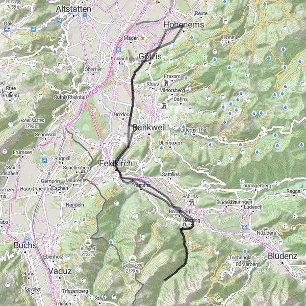
This road cycling route takes you on a scenic journey through the panoramic beauty of Vorarlberg. With an ascent of 1501 meters over a distance of 80 kilometers, cyclists will experience both challenging climbs and thrilling descents. Highlights along the route include the picturesque Känzele area, the charming town of Feldkirch, and the iconic Stadtschrofen mountain. Cyclists can also explore the vibrant town of Götzis and the unique architectural structures of Soele.
road
80 km
1501 m
Tough
Route profile
Highlights on the route
0 km
0 km
Start: Hohenems City centerHohenems: A cyclist's paradise in Austria's Vorarlberg region.
Hohenems, situated in Austria's Vorarlberg region, offers a great cycling experience for both road and gravel cyclists. The area is known for its stunning mountain landscapes, making it a perfect destination for those seeking challenging climbs and thrilling descents. Cyclists can explore the Rätikon mountain range, famous for its iconic Silvretta High Alpine Road, a well-known route for cycling enthusiasts. With its diverse terrain and breathtaking scenery, Hohenems is a must-visit for cyclists looking for epic rides in the Austrian Alps.17 km
17 km
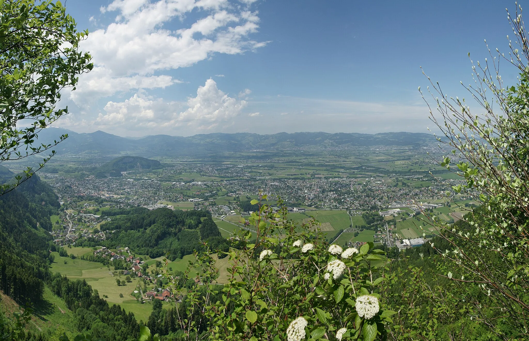
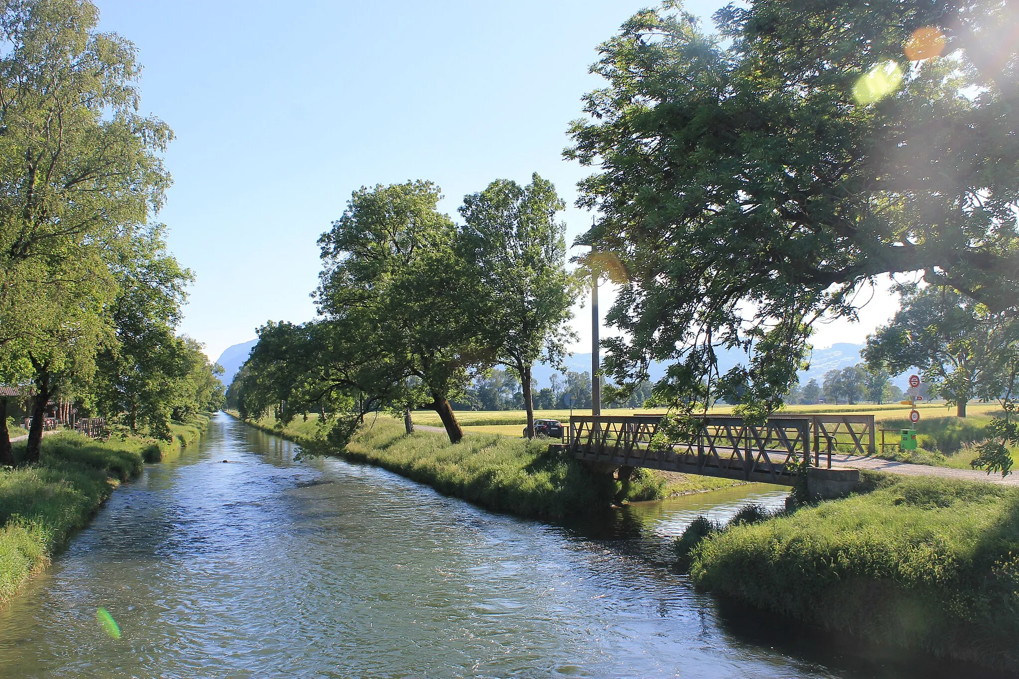
Känzele635 mPeakKänzele is a scenic spot offering breathtaking panoramic views of the surrounding countryside.
17 km
17 km
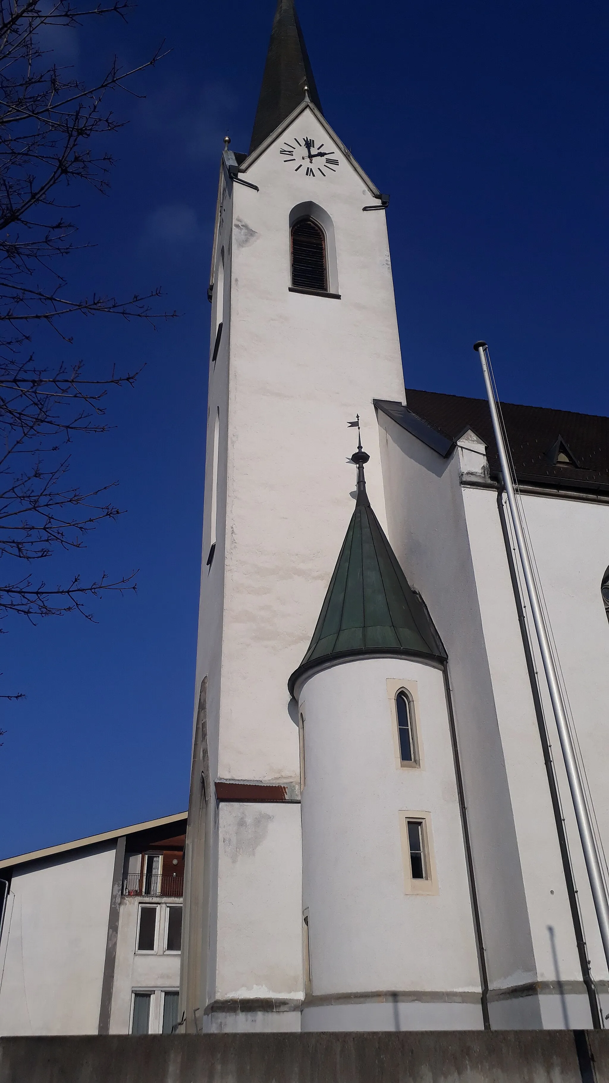
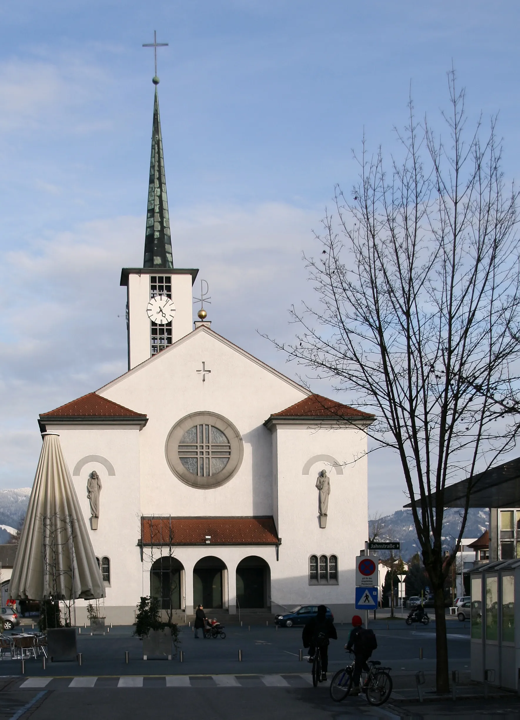
FeldkirchTownFeldkirch is a historical town with stunning medieval architecture and a lively cultural scene.
35 km
35 km
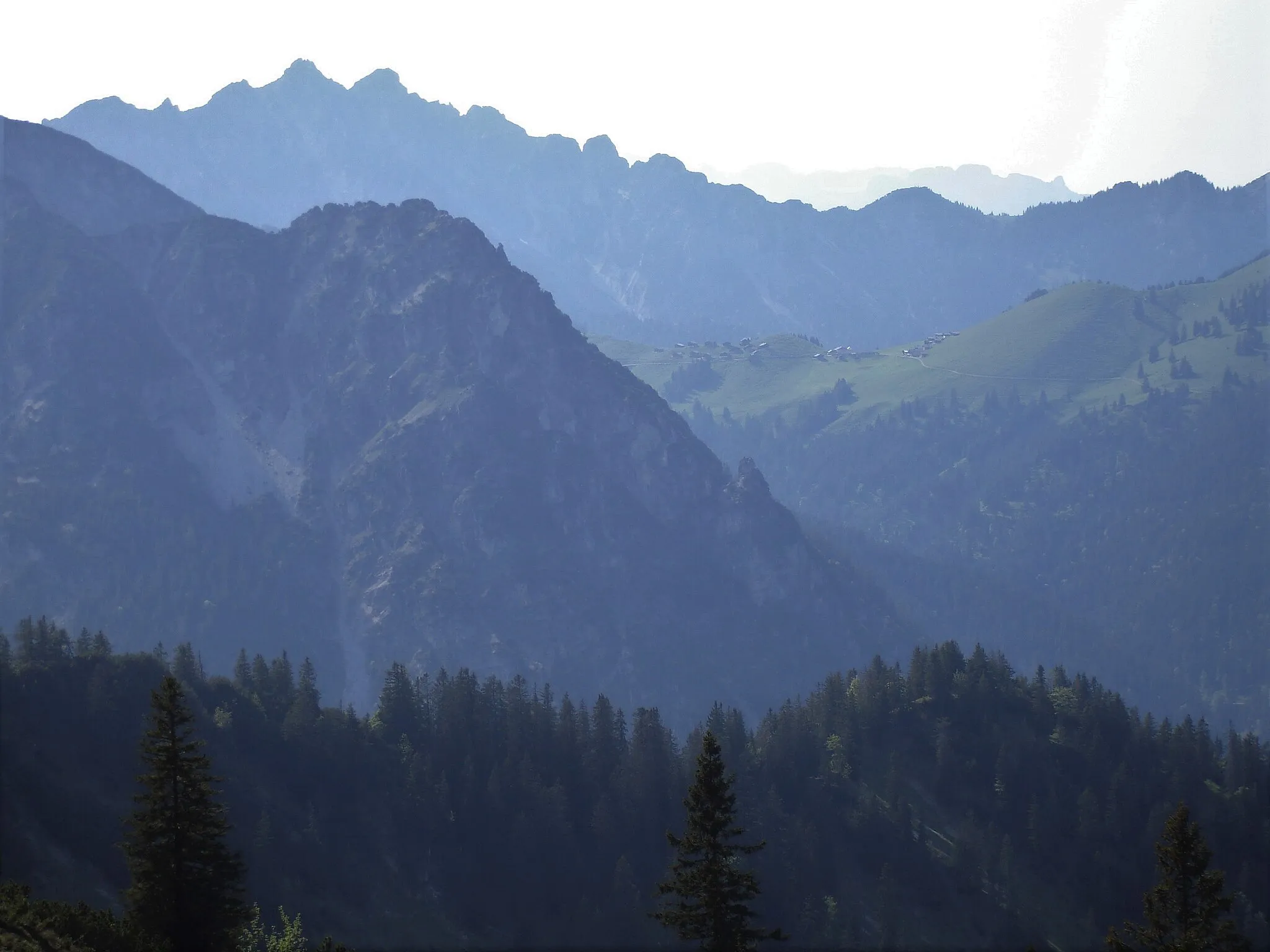
Eckskopf1563 mPeakEckskopf offers panoramic views and challenging trails for mountain biking and hiking enthusiasts.
57 km
57 km
Burgruine SigbergCastleBurgruine Sigberg is a fascinating historical site perched on a hilltop, providing panoramic views of the region.
60 km
60 km
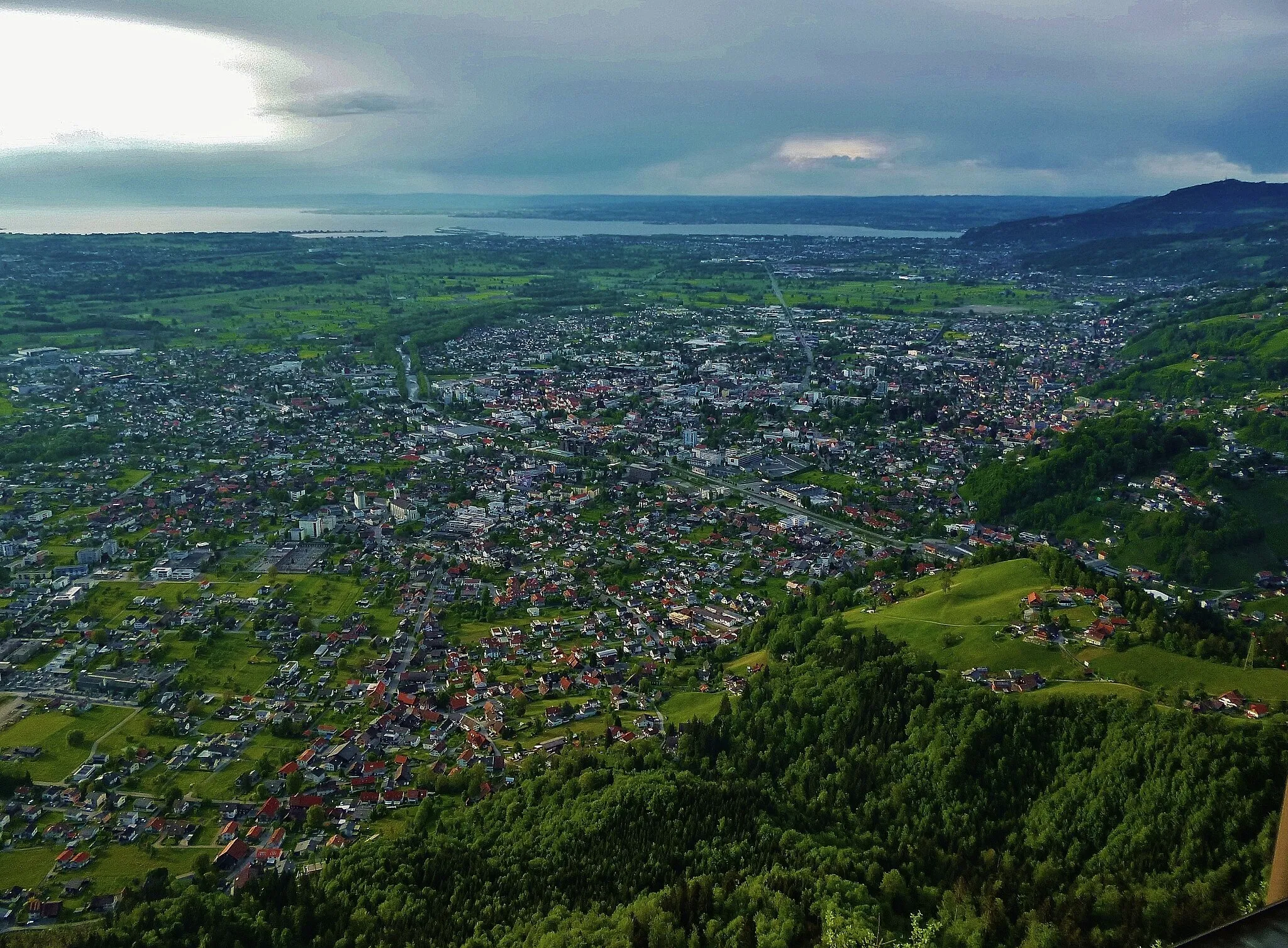
StadtschrofenViewpointStadtschrofen is a peak with stunning views of the surrounding mountain ranges and picturesque towns below.
75 km
75 km
GötzisTownGötzis is a vibrant town known for its cultural events, historic buildings, and charming atmosphere.
77 km
77 km
SoeleViewpointSoele offers unique architectural structures and a vibrant cultural scene, making it an interesting stop along the route.
80 km
80 km
Finish: Hohenems City centerHohenems: A cyclist's paradise in Austria's Vorarlberg region.
Cycling routes nearby: