Ondřejník Road Cycling Challenge
A road cycling route starting from Kuncice pod Ondrejnikem
Embark on a challenging road cycling adventure around Ondřejník
Map
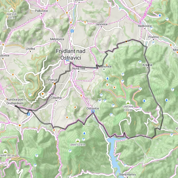
This road cycling route is a challenging challenge for cyclists who love climbing. Starting and ending in Kunčice pod Ondřejníkem, this 56-kilometer route features some incredible ascents and descents, with a total elevation gain of 1207 meters. Highlights along the way include the beautiful village of Pstruží, the picturesque Kalvárie, and the scenic Krásná. With a difficulty rating of 5 out of 5, this route is recommended for highly trained amateur cyclists who enjoy steep climbs and fast descents. The epicness score for this route is 4 out of 5, making it perfect for adventurers seeking a thrilling road biking experience.
road
56 km
1207 m
Savage
Route profile
Highlights on the route
0 km
0 km
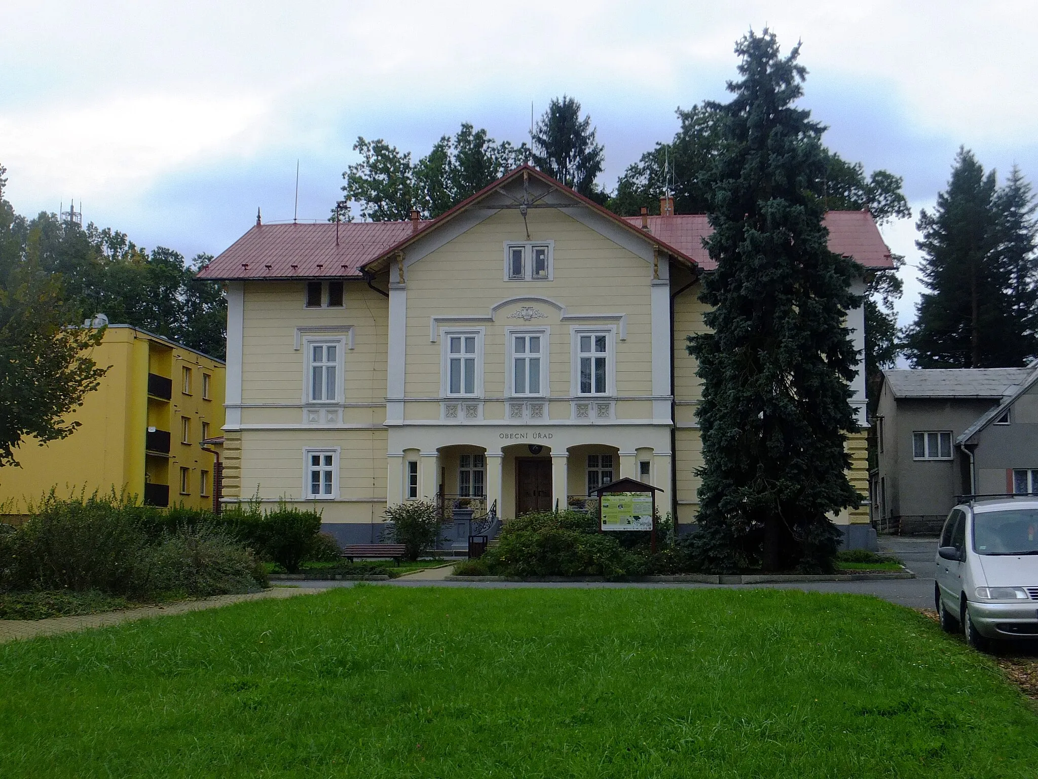
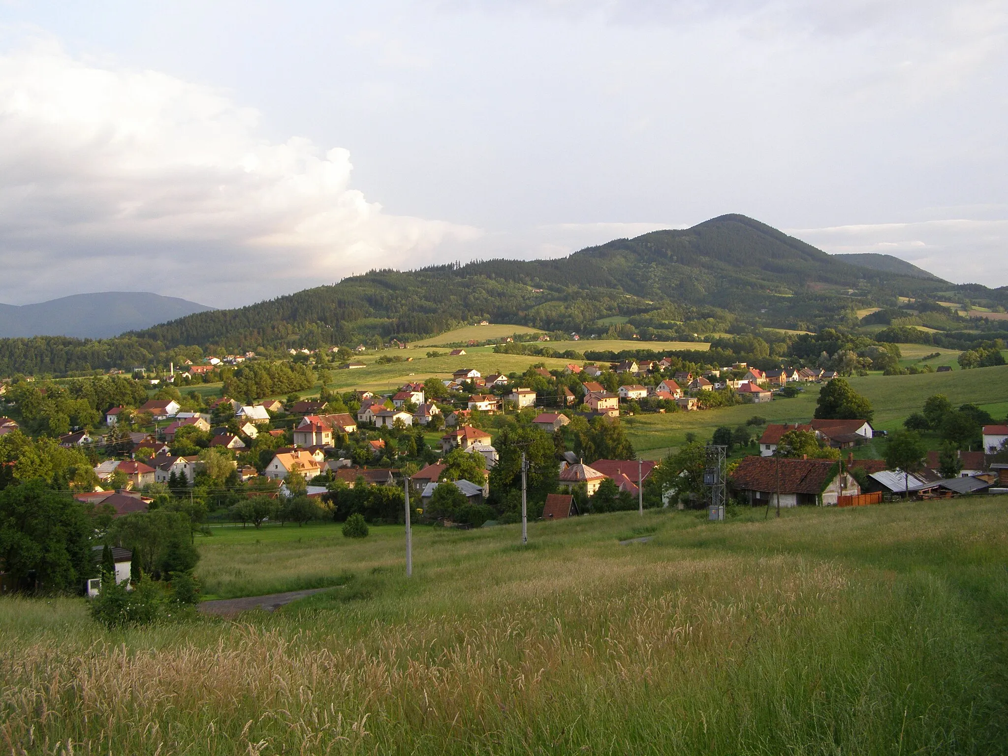
Start: Kunčice pod Ondřejníkem Village centerKunčice pod Ondřejníkem: Scenic road and gravel cycling among forests and hills
Located in Moravskoslezsko, Czech Republic, Kunčice pod Ondřejníkem offers a mix of road and gravel cycling opportunities. The locality is surrounded by forests and hills, providing scenic views and challenging terrain for cyclists. There are no famous cycling-related spots or well-known climbs nearby, but cyclists can enjoy exploring the quiet country roads and nature trails in the area. Overall, Kunčice pod Ondřejníkem is a good option for cyclists looking for a moderately challenging ride in a picturesque setting, with a rank of 4.0 km
0 km
Kunčice pod OndřejníkemVillageVisit the charming village of Kunčice pod Ondřejníkem, where your road cycling adventure begins.
6 km
6 km
PstružíVillageAdmire the rolling countryside and quaint village of Pstruží.
15 km
15 km
Kalvárie492 mPeakEnjoy the scenic beauty of Kalvárie and take a moment to enjoy the view.
24 km
24 km
KrásnáVillageCycle through the charming village of Krásná and take in the rural scenery.
35 km
35 km
Okrouhlice832 mPeakRide through the peaceful village of Okrouhlice and enjoy the tranquility of the area.
44 km
44 km
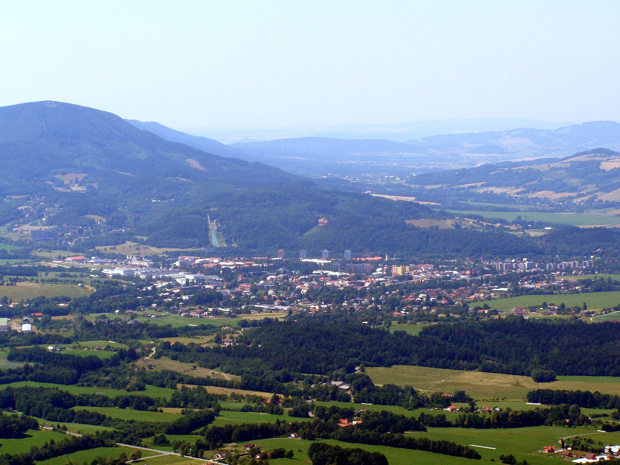
OstraviceVillagePass through Ostravice and take in the stunning mountainous landscapes.
47 km
47 km
Smrček858 mPeakChallenge yourself with the climb up Smrček, a rewarding ascent with breathtaking views.
54 km
54 km
Maralův kopec578 mPeakExplore the scenic Maralův kopec and enjoy panoramic views of the surrounding countryside.
56 km
56 km
Finish: Kunčice pod Ondřejníkem Village centerKunčice pod Ondřejníkem: Scenic road and gravel cycling among forests and hills
Cycling routes from Kuncice pod Ondrejnikem:
Kunčice Classic Road Ride Ondřejník Road Cycling Challenge Mountain Gravel Challenge Countryside Gravel Loop Kunčice pod Ondřejníkem to Tichá Loop Kunčice pod Ondřejníkem to Trojanovice Epic Route Kunčice pod Ondřejníkem Gravel Adventure Peak to Peak Adventure Kunčice pod Ondřejníkem Gravel Adventure Kunčice pod Ondřejníkem to Hodoňovice Gravel Loop
Cycling routes nearby: