The Gravel Challenge: Bitschwiller-lès-Thann to Staufen
A gravel cycling route starting from Bitschwiller-les-Thann
Conquer the rugged landscapes along this gravel route.
Map

Embark on an adventurous gravel ride from Bitschwiller-lès-Thann to Staufen. With an ascent of 1,352 meters over a distance of 59 kilometers, this route offers a fulfilling challenge for experienced cyclists. Marvel at the stunning vistas at Guewenheim, where you can take a moment to appreciate the beauty of the surroundings. As you cross the Ligne de partage des eaux Doubs/Ill, pay homage to this significant divide between two major river systems. Ride through Rougemont-le-Château and admire its picturesque charm. Finally, conquer the Col du Hundsruck before reaching the scenic town of Staufen.
gravel
59 km
1352 m
Tough
Route profile
Highlights on the route
0 km
0 km
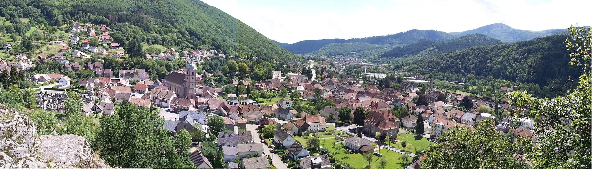
Start: Bitschwiller-lès-Thann Village centerBitschwiller-lès-Thann: Challenging rides and scenic landscapes await in Bitschwiller-lès-Thann.
Bitschwiller-lès-Thann is a locality situated in the Alsace region of France. From a road and gravel cyclist's perspective, it offers a mix of hilly and flat routes with beautiful countryside scenery. The nearby Vosges Mountains provide access to challenging climbs, including the famous Ballon d'Alsace. Cyclists can test their skills and endurance on demanding ascents while enjoying the stunning views from the mountain peaks. Bitschwiller-lès-Thann is a great destination for cyclists seeking varied terrain and exciting climbing opportunities.2 km
2 km
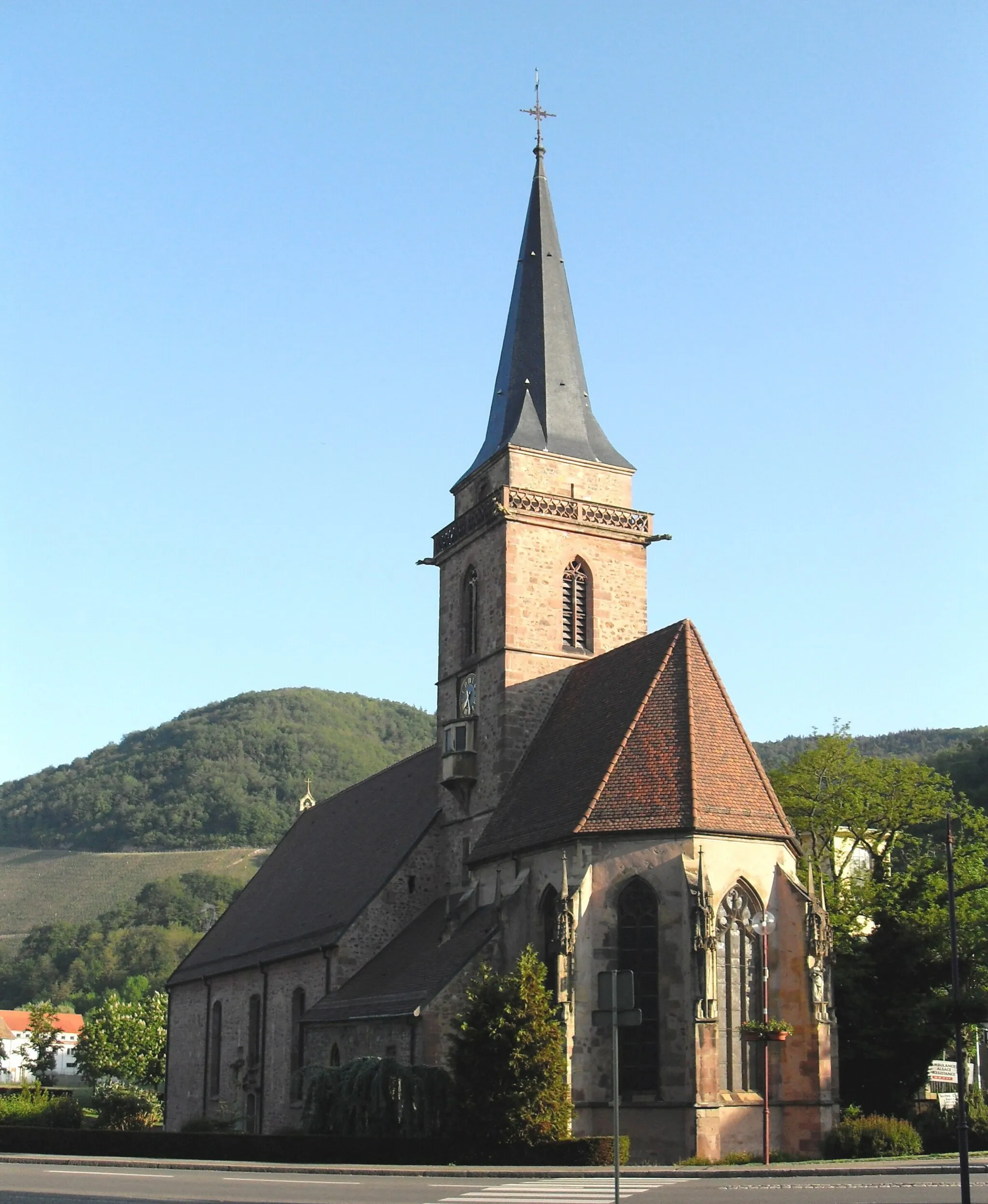
Staufen510 mPeakLocated in Staufen, this highlight offers historical insights into the region.
3 km
3 km
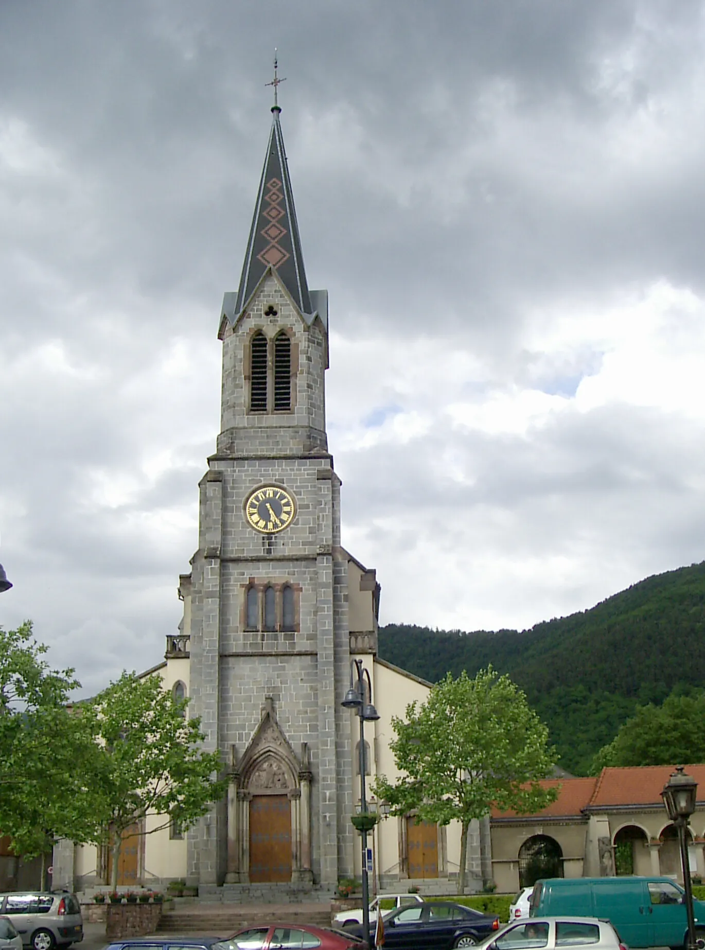
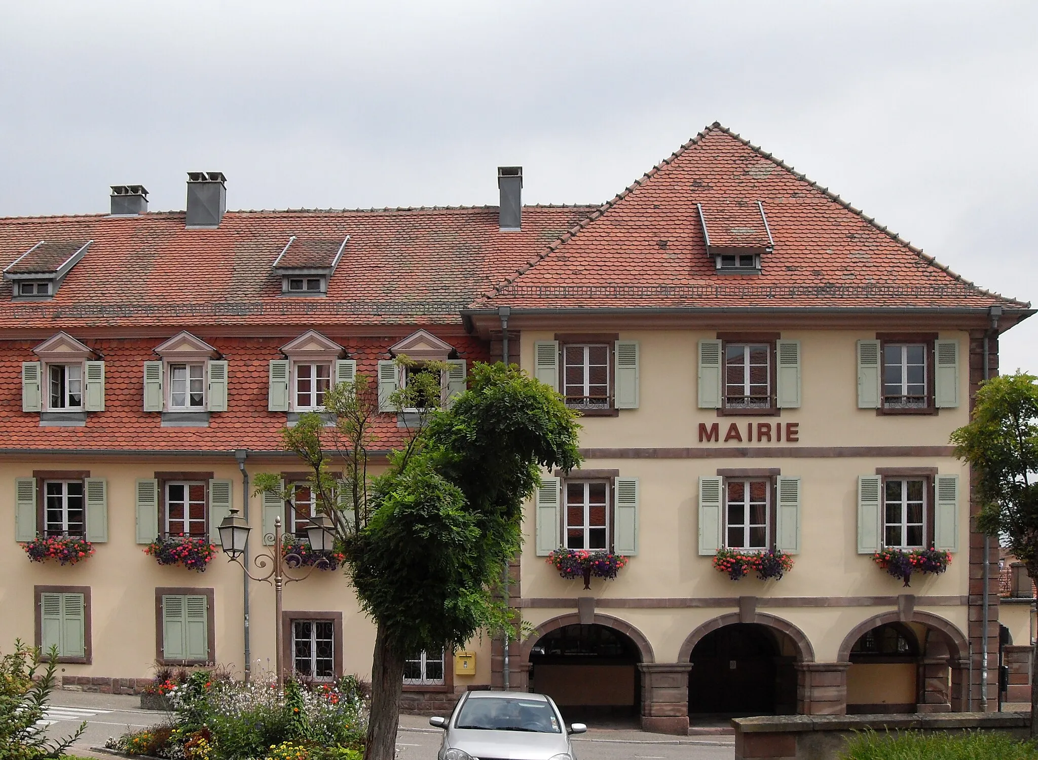
ThannTownExplore the town of Thann and immerse yourself in its rich cultural heritage.
12 km
12 km
GuewenheimVillageDiscover Guewenheim, a hidden gem renowned for its stunning landscapes.
21 km
21 km
Ligne de partage des eaux Doubs/Ill (395m)395 mMountain PassCross the Ligne de partage des eaux Doubs/Ill, an iconic natural feature.
35 km
35 km
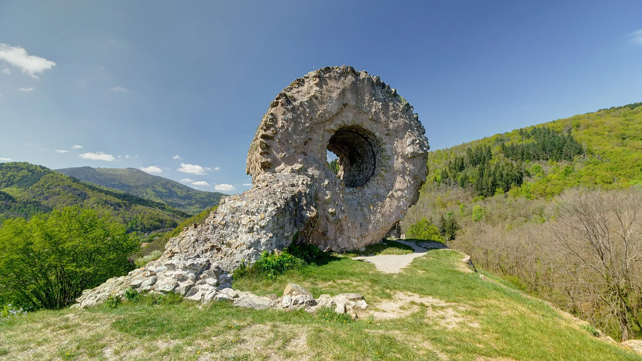
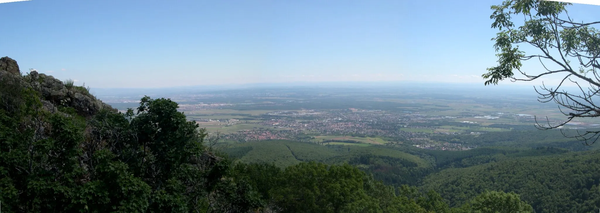
Le Châtelet544 mPeakStop by Le Châtelet and capture breathtaking views of the surrounding countryside.
38 km
38 km
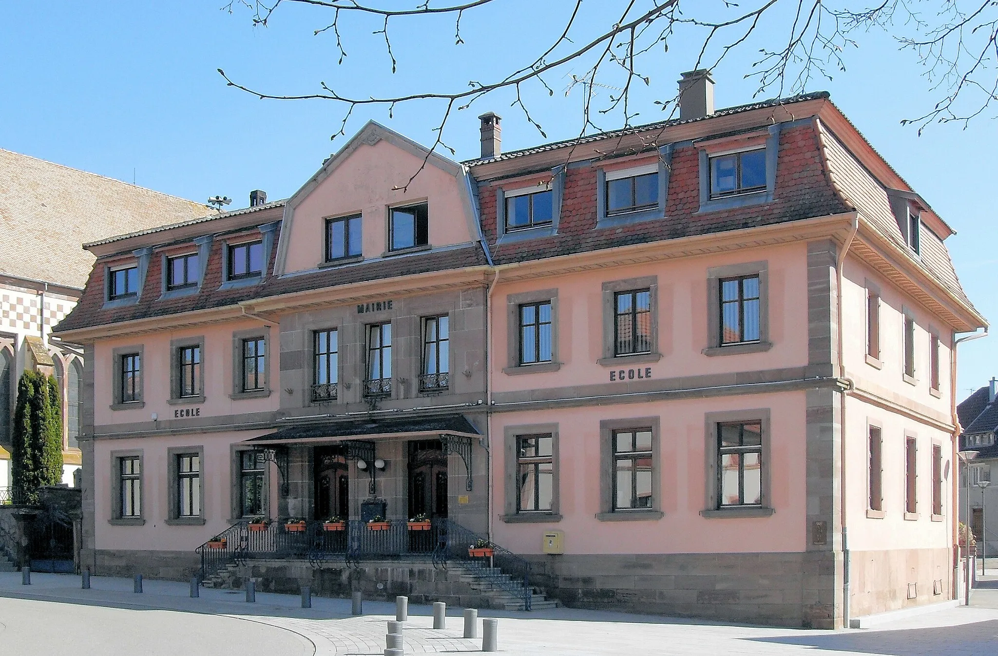
Rougemont-le-ChâteauVillageVisit Rougemont-le-Château, a charming village with a rich historical past.
51 km
51 km
Bourbach-le-HautVillageExplore Bourbach-le-Haut, a hidden gem known for its rural charm.
55 km
55 km
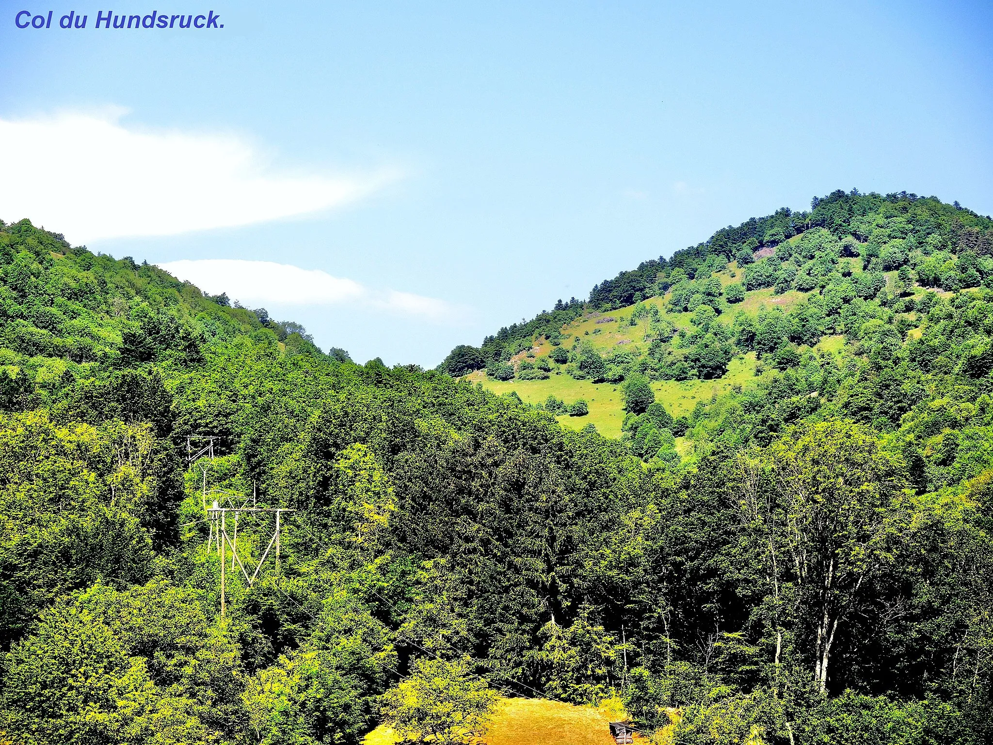
Col du Hundsruck748 mMountain PassConquer the Col du Hundsruck, renowned for its challenging ascent.
59 km
59 km
Finish: Bitschwiller-lès-Thann Village centerBitschwiller-lès-Thann: Challenging rides and scenic landscapes await in Bitschwiller-lès-Thann.
Cycling routes from Bitschwiller-les-Thann:
Exploring Gravel Paths in the Vosges Gravel Loop: Thann to Bitschwiller-lès-Thann The Gravel Challenge: Bitschwiller-lès-Thann to Staufen Cycling through the Vosges Mountains Alsace Road Cycling Adventure The Scenic Road Trip: Bitschwiller-lès-Thann to Staufen The Alpine Adventure: Bitschwiller-lès-Thann to Saint-Amarin The Scenic Gravel Adventure: Thann to Soultz-Haut-Rhin Road Loop: Drachenfels to Bitschwiller-lès-Thann The Gravel Cascade Loop The Valleys and Mountains of Alsace
Cycling routes nearby: