The Grand Ballon Adventure
A gravel cycling route starting from Issenheim
A challenging gravel route climbing the iconic Grand Ballon peak.
Map
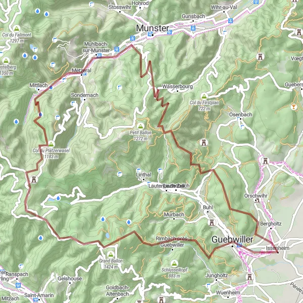
The Grand Ballon Adventure is a challenging gravel route starting near Issenheim. With a total distance of 71 km and an ascent of 2178 m, this route is suitable for experienced and adventurous cyclists. The highlight of the route is the Grand Ballon, the highest peak in the Vosges mountains, offering breathtaking panoramic views from its summit. The route also passes by Col du Platzerwasel, a famous climb featured in professional cycling races. Other highlights include Muhlbach-sur-Munster, known for its traditional Alsatian architecture, and Birkenrain, a picturesque area with rolling hills and forests.
gravel
71 km
2178 m
Savage
Route profile
Highlights on the route
0 km
0 km
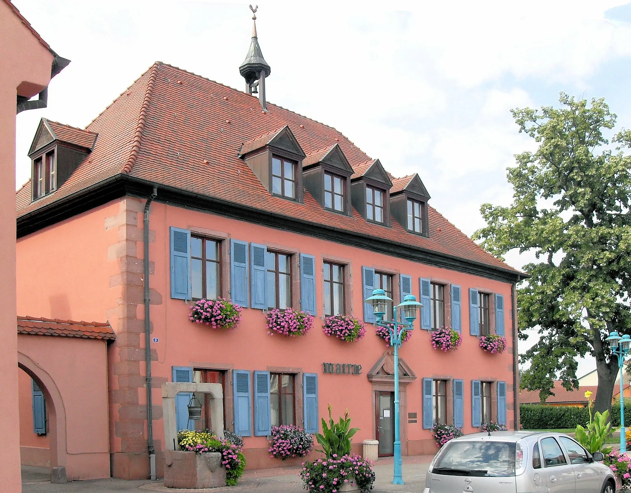
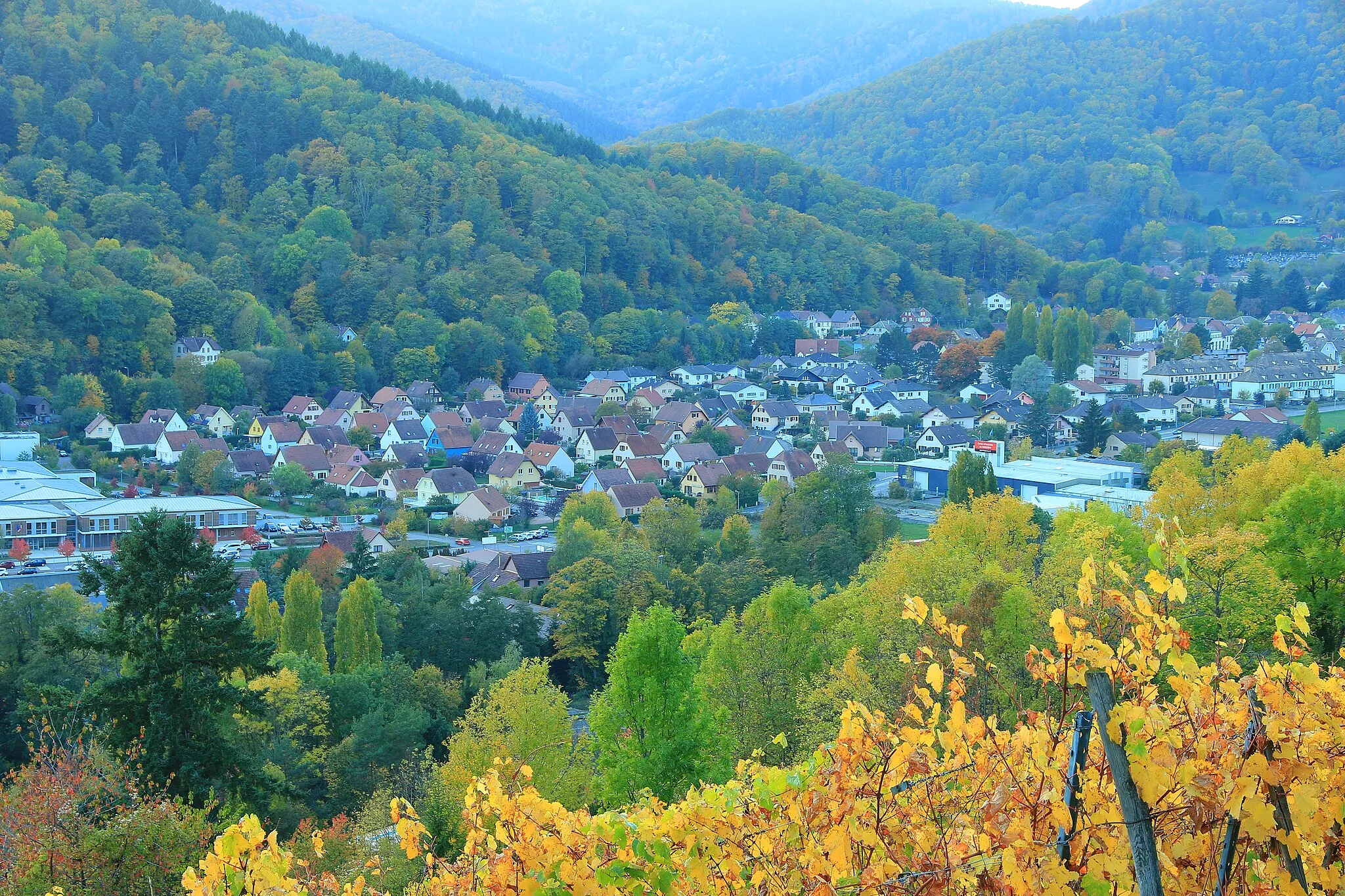
Start: Issenheim Village centerIssenheim: Charming countryside for leisurely rides.
Issenheim, located in Alsace, France, offers cyclists a picturesque countryside setting. While not as well-known as other cycling destinations, Issenheim provides road and gravel cyclists with scenic routes along quiet roads. Cyclists can immerse themselves in the region's natural beauty, passing through vineyards and charming villages along their rides. Although Issenheim may not have any famous cycling spots or climbs nearby, it still offers a tranquil environment for enjoyable rides.3 km
3 km
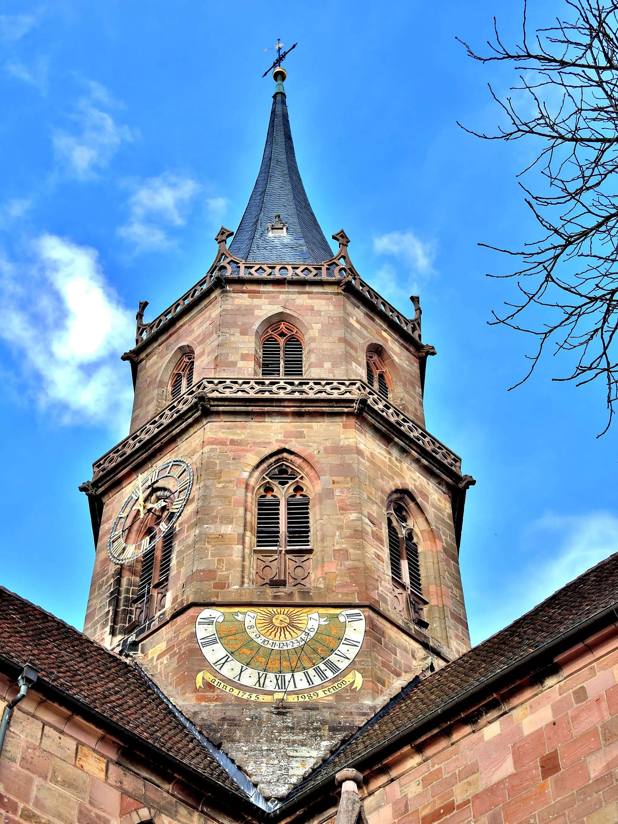
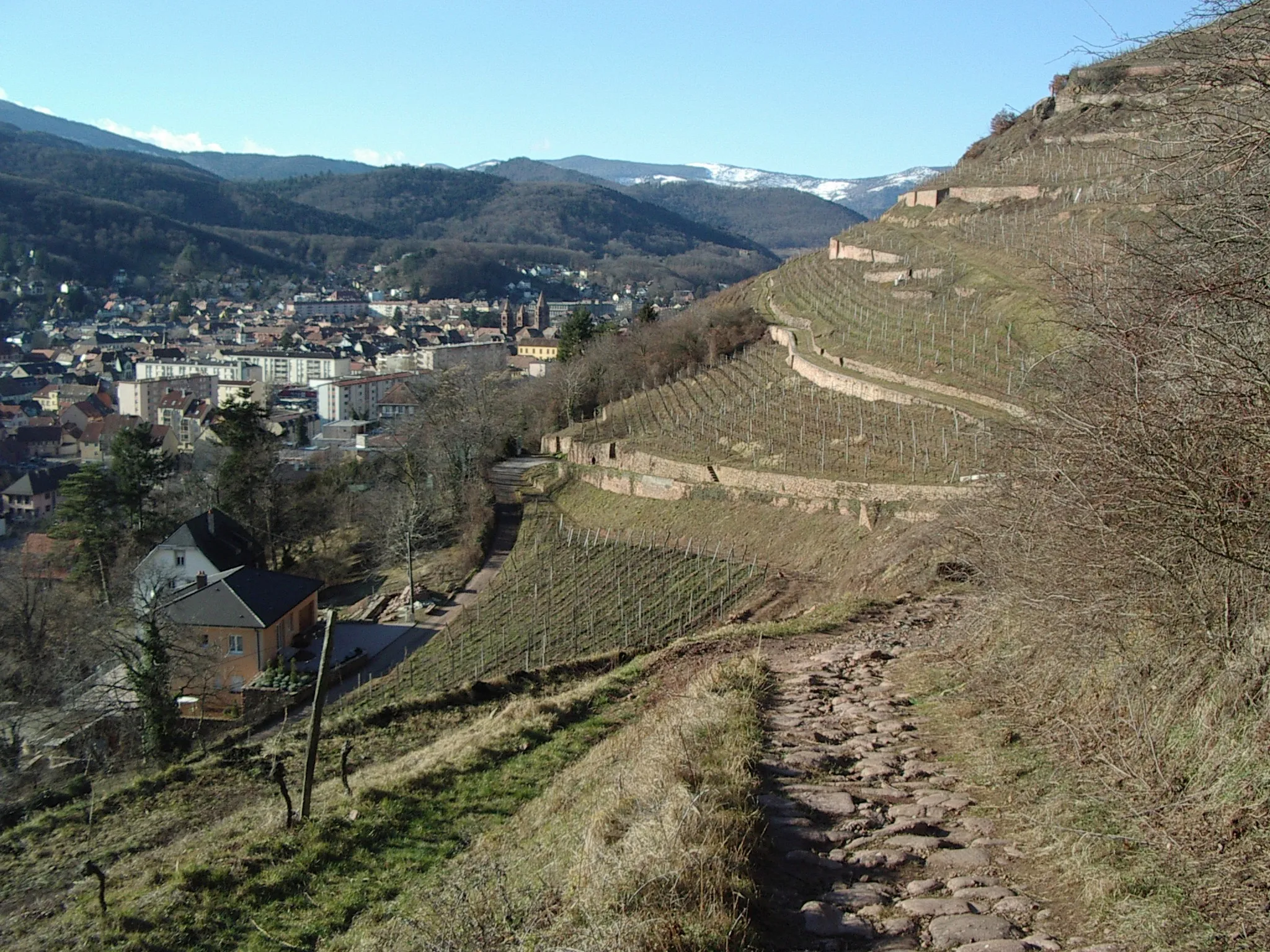
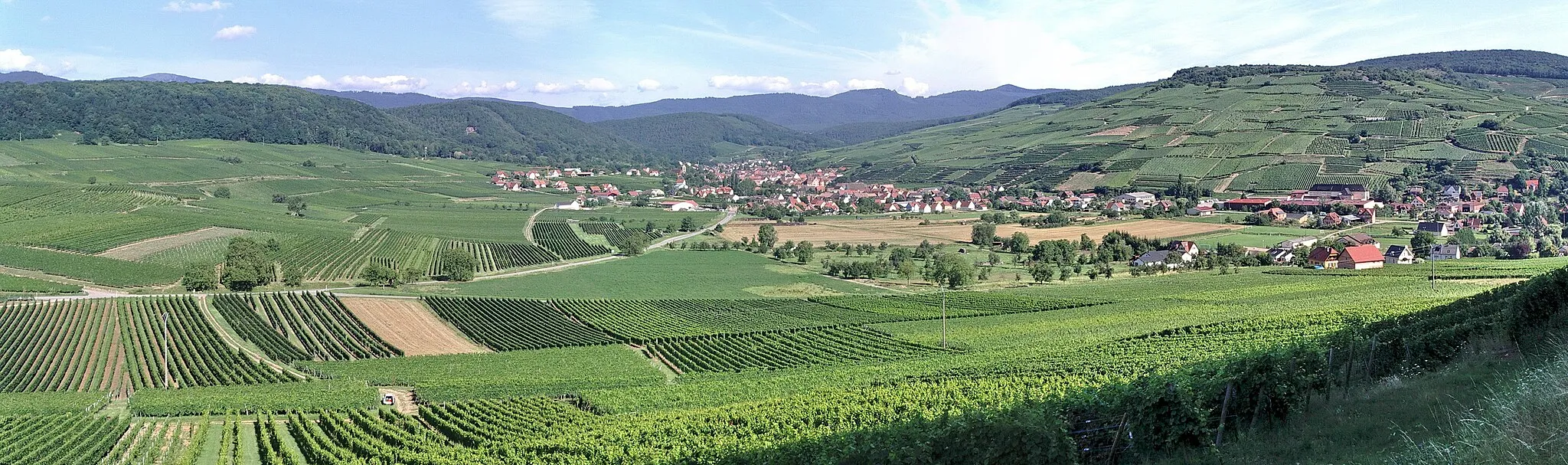
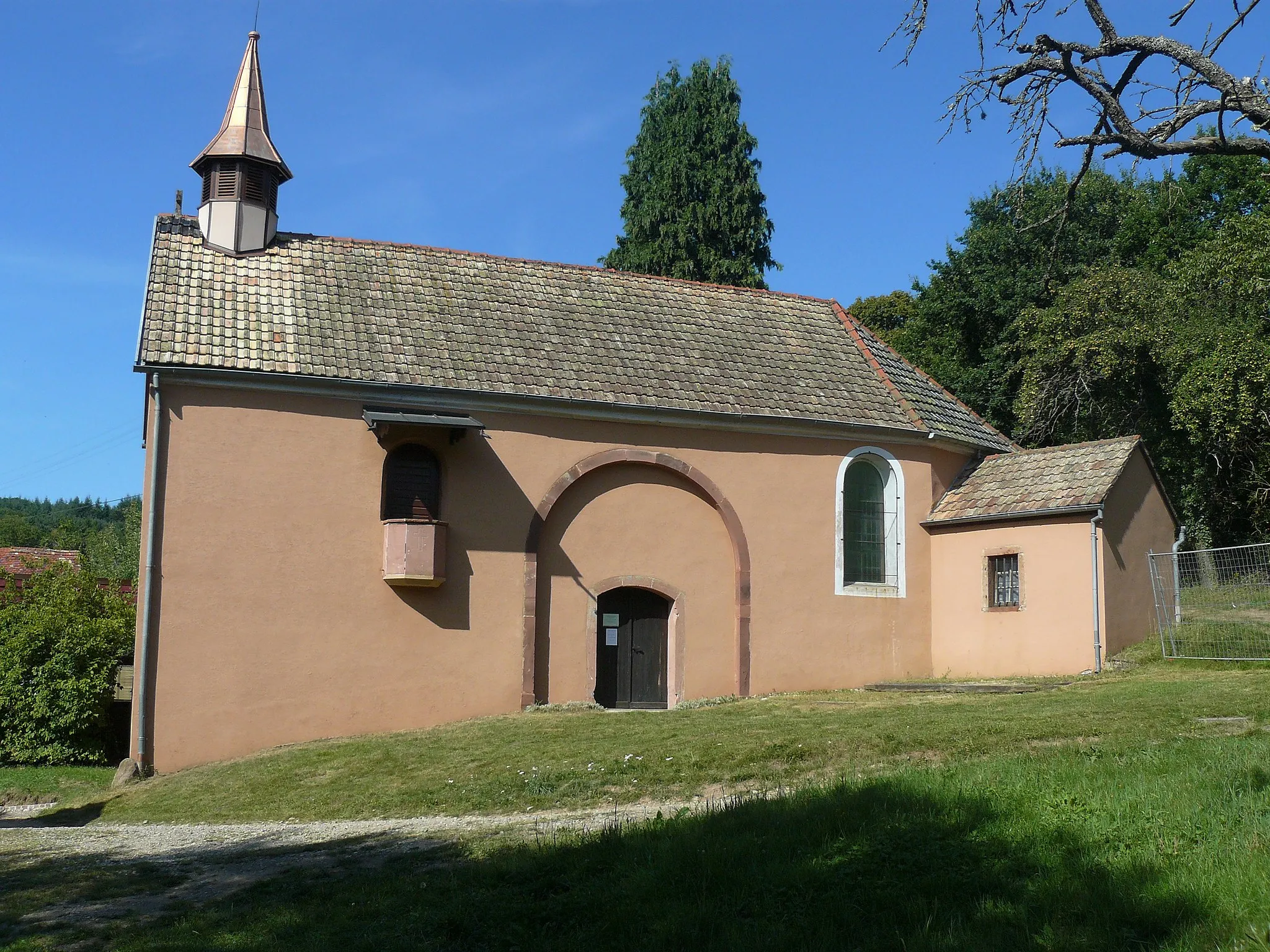
GuebwillerTownGuebwiller is a charming town known for its vineyards, historic buildings, and vibrant cultural scene.
15 km
15 km
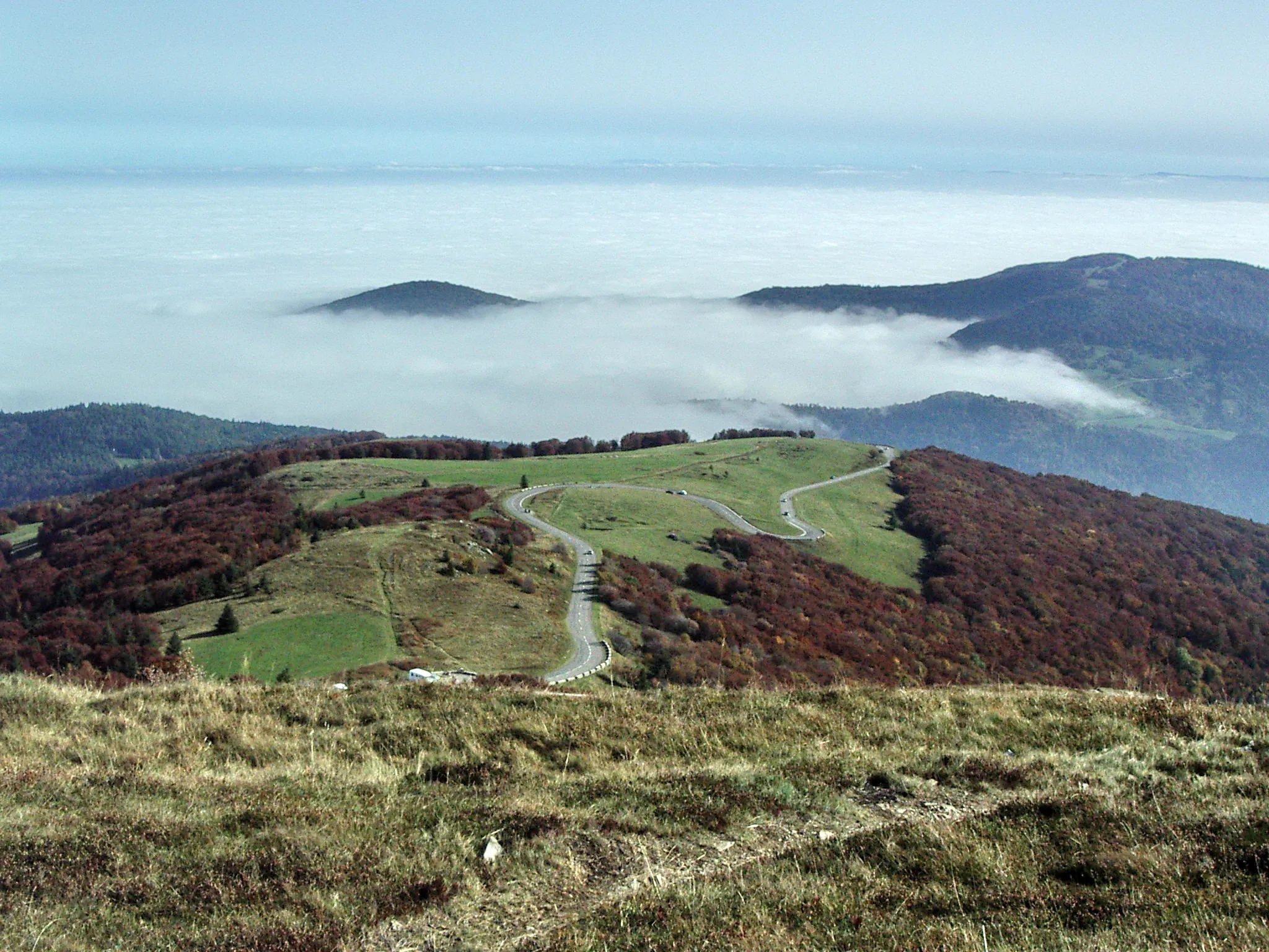
Grand Ballon1424 mPeakGrand Ballon is the highest peak in the Vosges mountains, offering breathtaking views of the surrounding landscape.
29 km
29 km
Col du Platzerwasel1183 mMountain PassCol du Platzerwasel is a famous climb in professional cycling races, known for its challenging gradient.
40 km
40 km
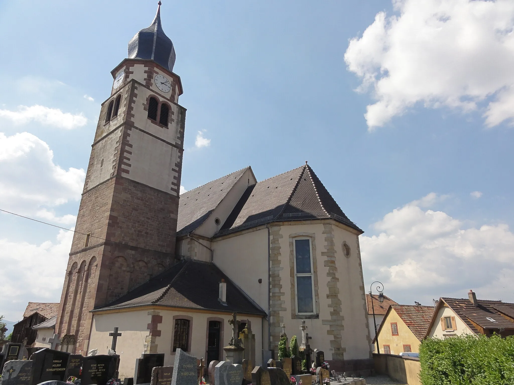
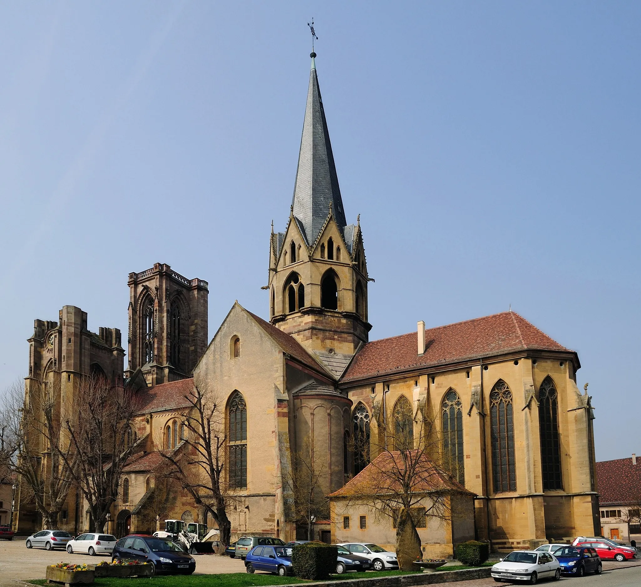
Muhlbach-sur-MunsterVillageMuhlbach-sur-Munster features typical Alsatian architecture and is surrounded by beautiful natural landscapes.
56 km
56 km
Rundkopf943 mPeakRundkopf is a scenic area with rolling hills and forests, ideal for nature lovers and outdoor activities.
65 km
65 km
Birkenrain582 mPeakBirkenrain is a peaceful spot nestled in the mountains, offering tranquility and beautiful views.
71 km
71 km
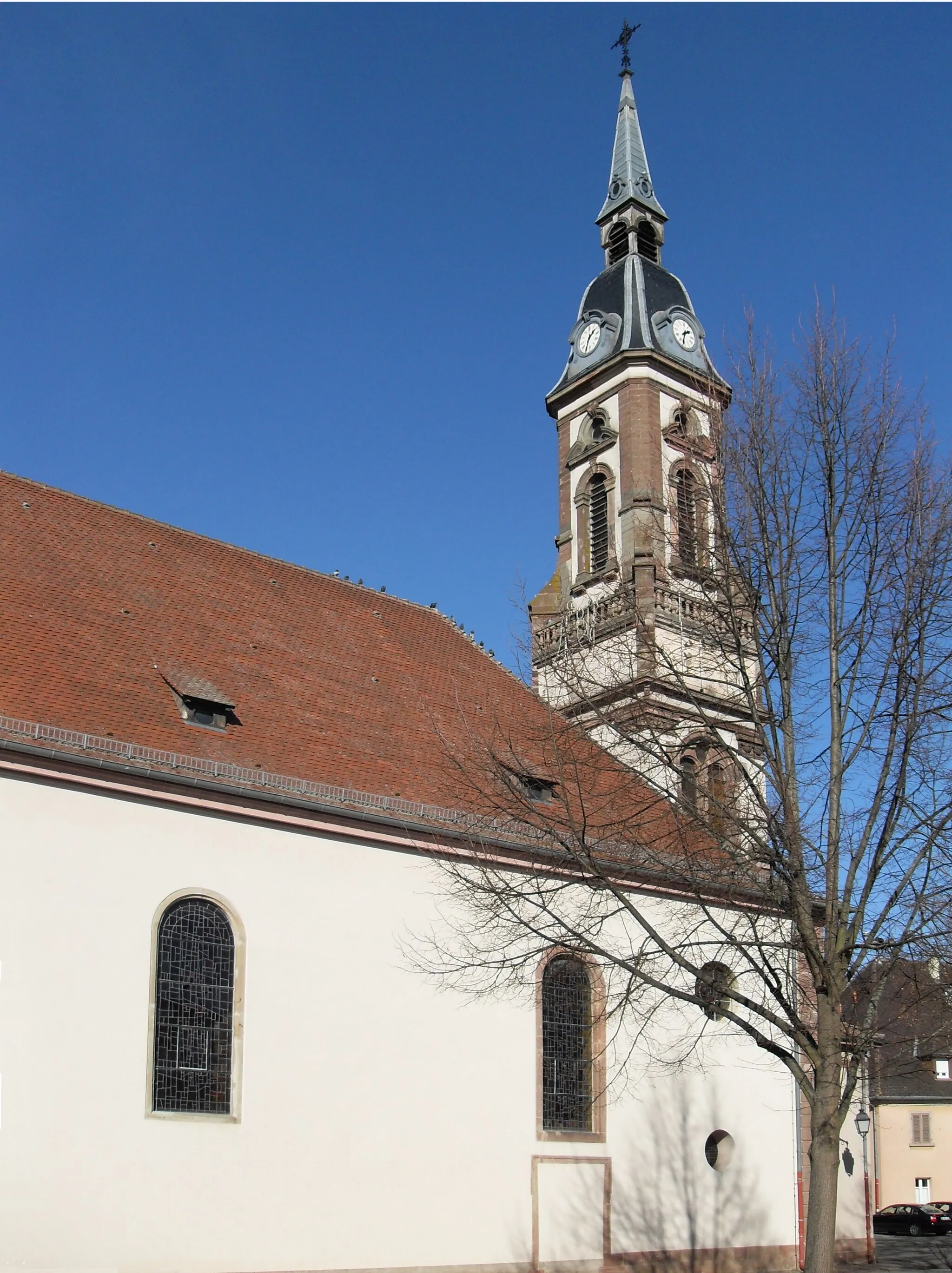
IssenheimVillageIssenheim is a historical town known for its traditional architecture and vibrant cultural heritage.
71 km
71 km
Finish: Issenheim Village centerIssenheim: Charming countryside for leisurely rides.
Cycling routes nearby: