The Vosges Gravel Challenge
A gravel cycling route starting from Issenheim
An adventurous gravel route traversing the rugged terrain of the Vosges mountains.
Map
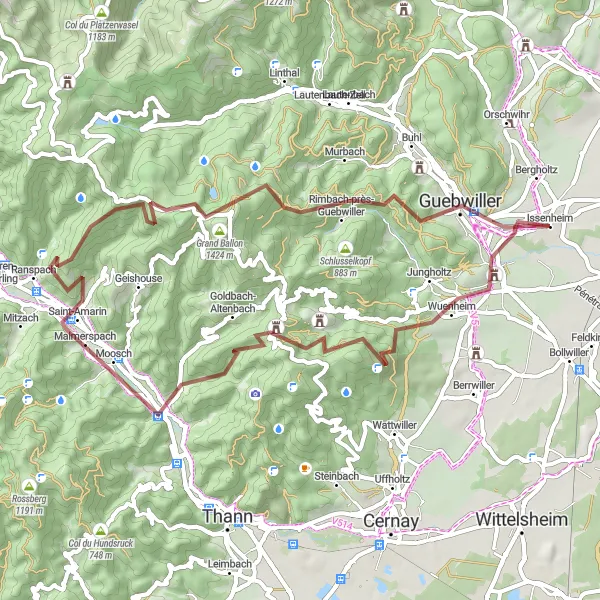
The Vosges Gravel Challenge is an adventurous route starting near Issenheim. It takes you through the rugged terrain of the Vosges mountains, offering an exciting off-road experience. With a distance of 57 km and a challenging ascent of 1794 m, this gravel route is suitable for experienced cyclists looking for an adrenaline-filled adventure. The highlight of the route is Vieil Armand, also known as Hartmannswillerkopf, a World War I battlefield with preserved trenches and panoramic viewpoints. Guebwiller, a charming town with its vineyards and historic buildings, also adds to the allure of this route.
gravel
57 km
1794 m
Savage
Route profile
Highlights on the route
0 km
0 km
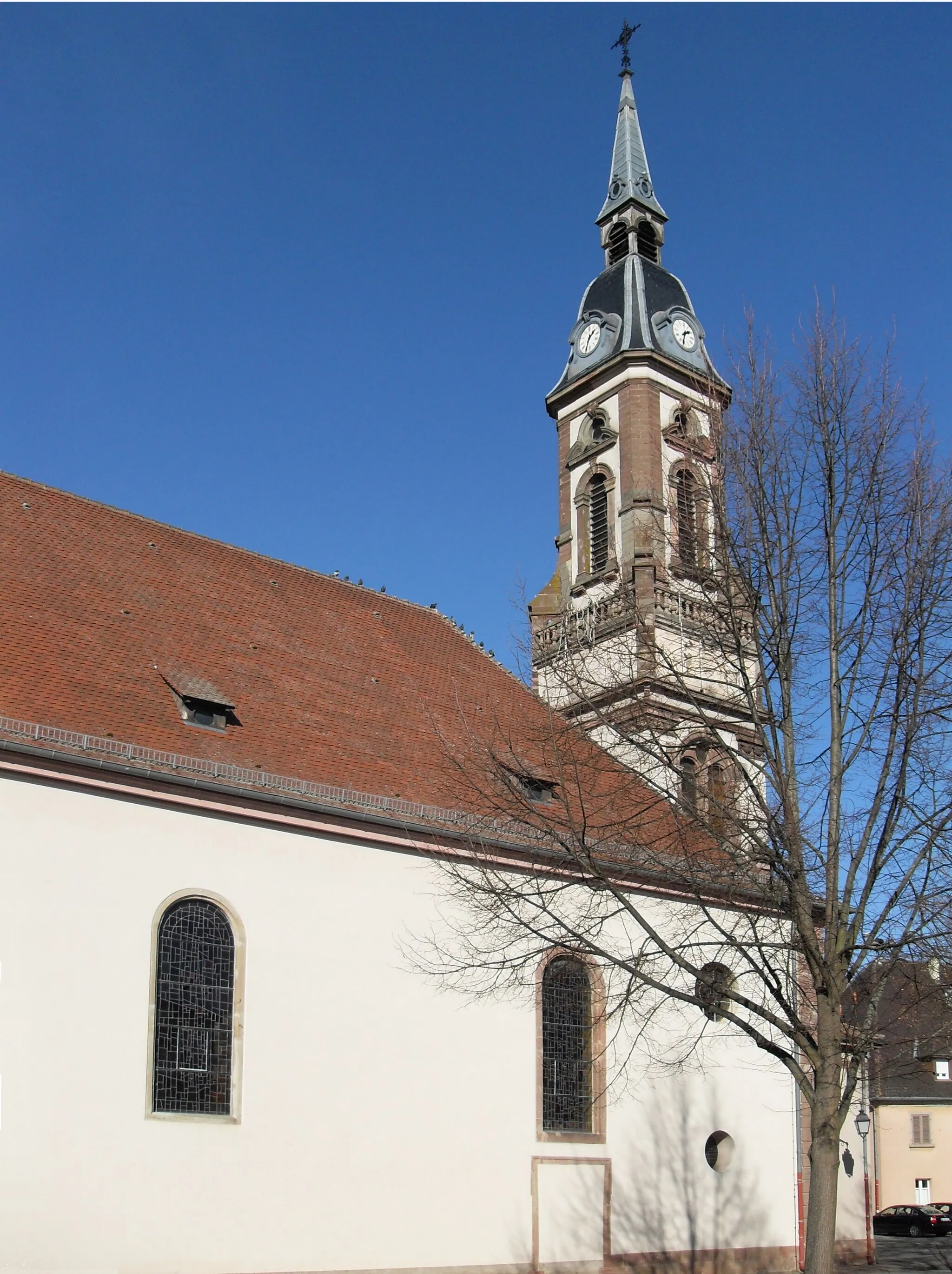
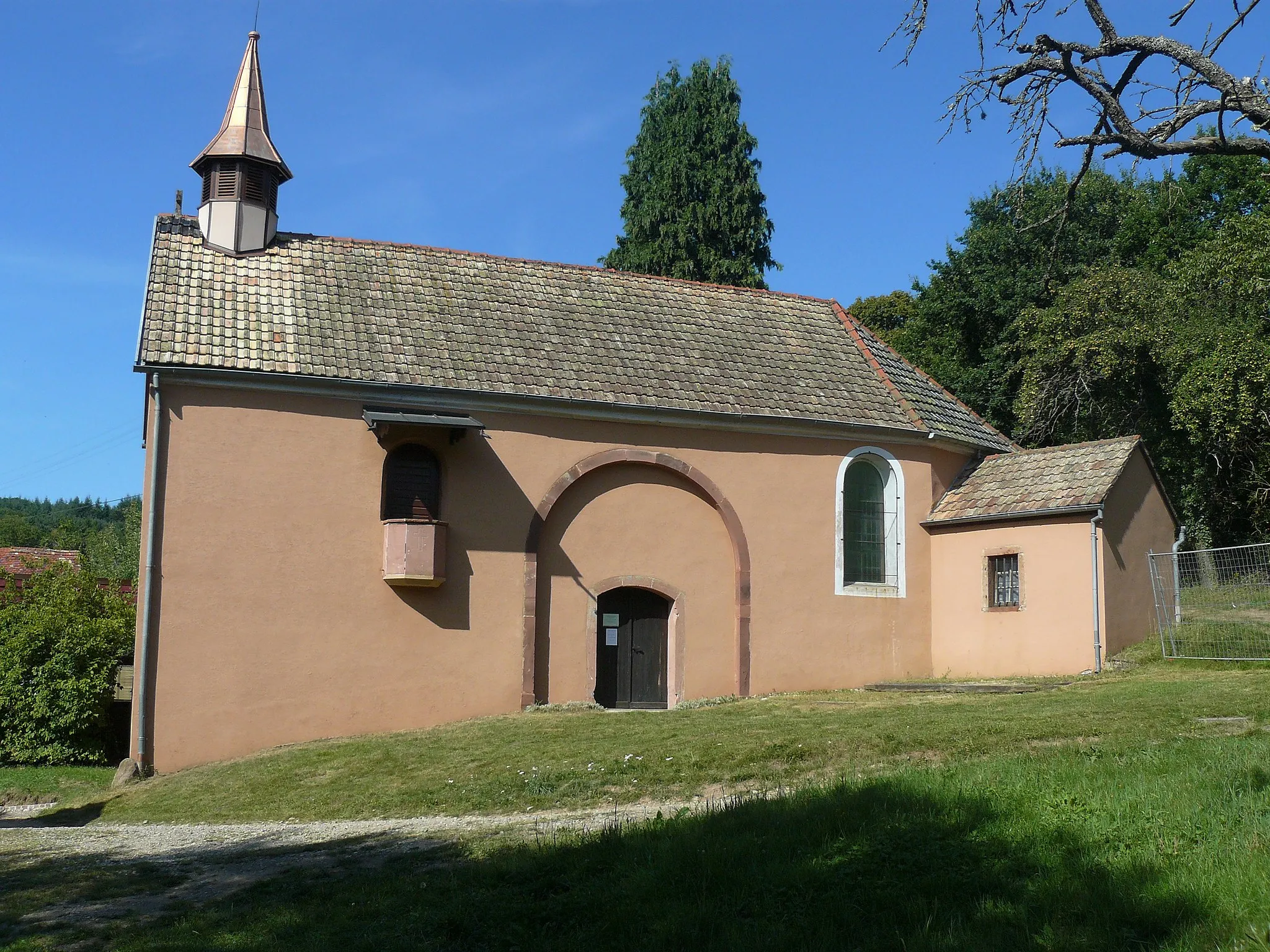
Start: Issenheim Village centerIssenheim: Charming countryside for leisurely rides.
Issenheim, located in Alsace, France, offers cyclists a picturesque countryside setting. While not as well-known as other cycling destinations, Issenheim provides road and gravel cyclists with scenic routes along quiet roads. Cyclists can immerse themselves in the region's natural beauty, passing through vineyards and charming villages along their rides. Although Issenheim may not have any famous cycling spots or climbs nearby, it still offers a tranquil environment for enjoyable rides.3 km
3 km
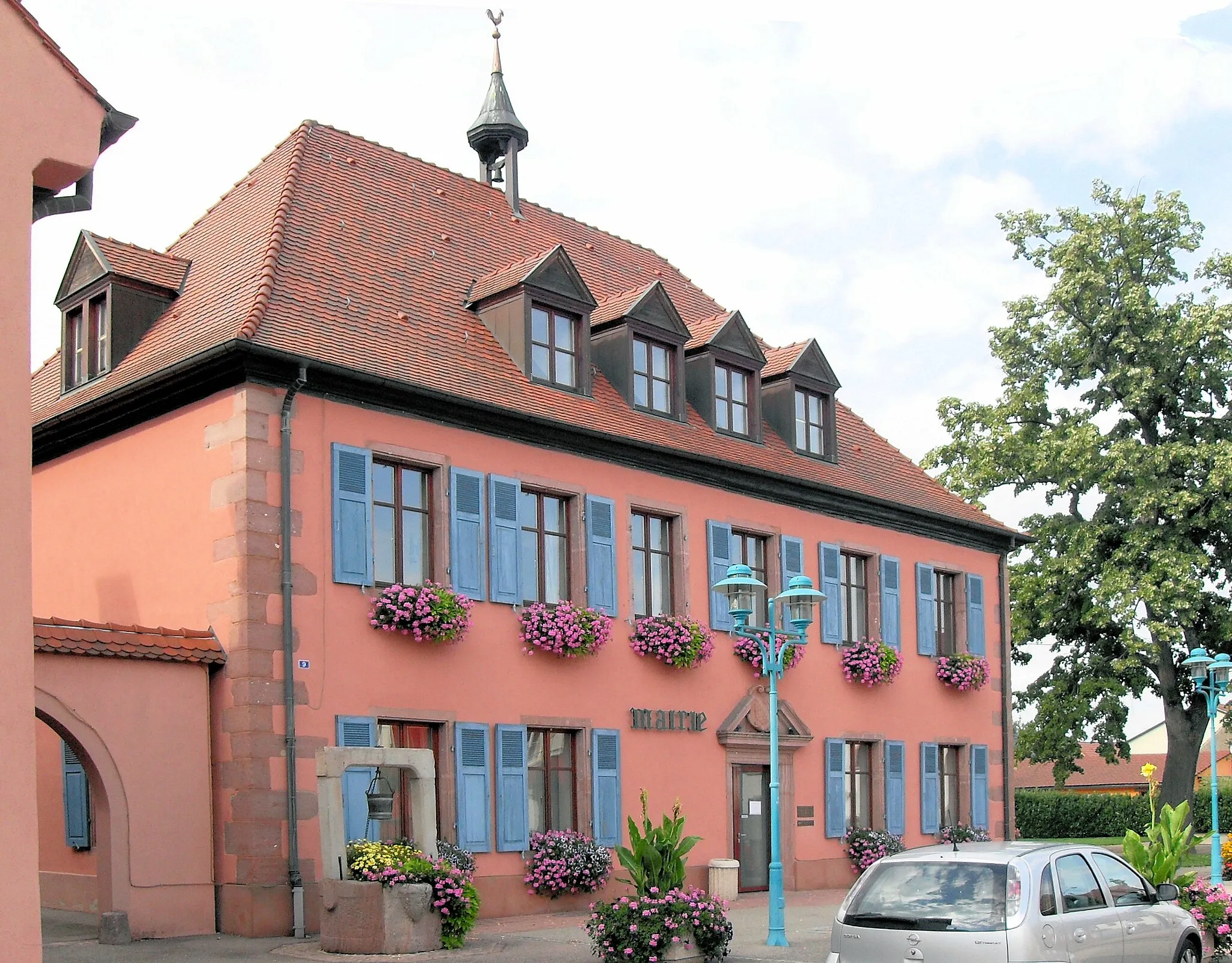
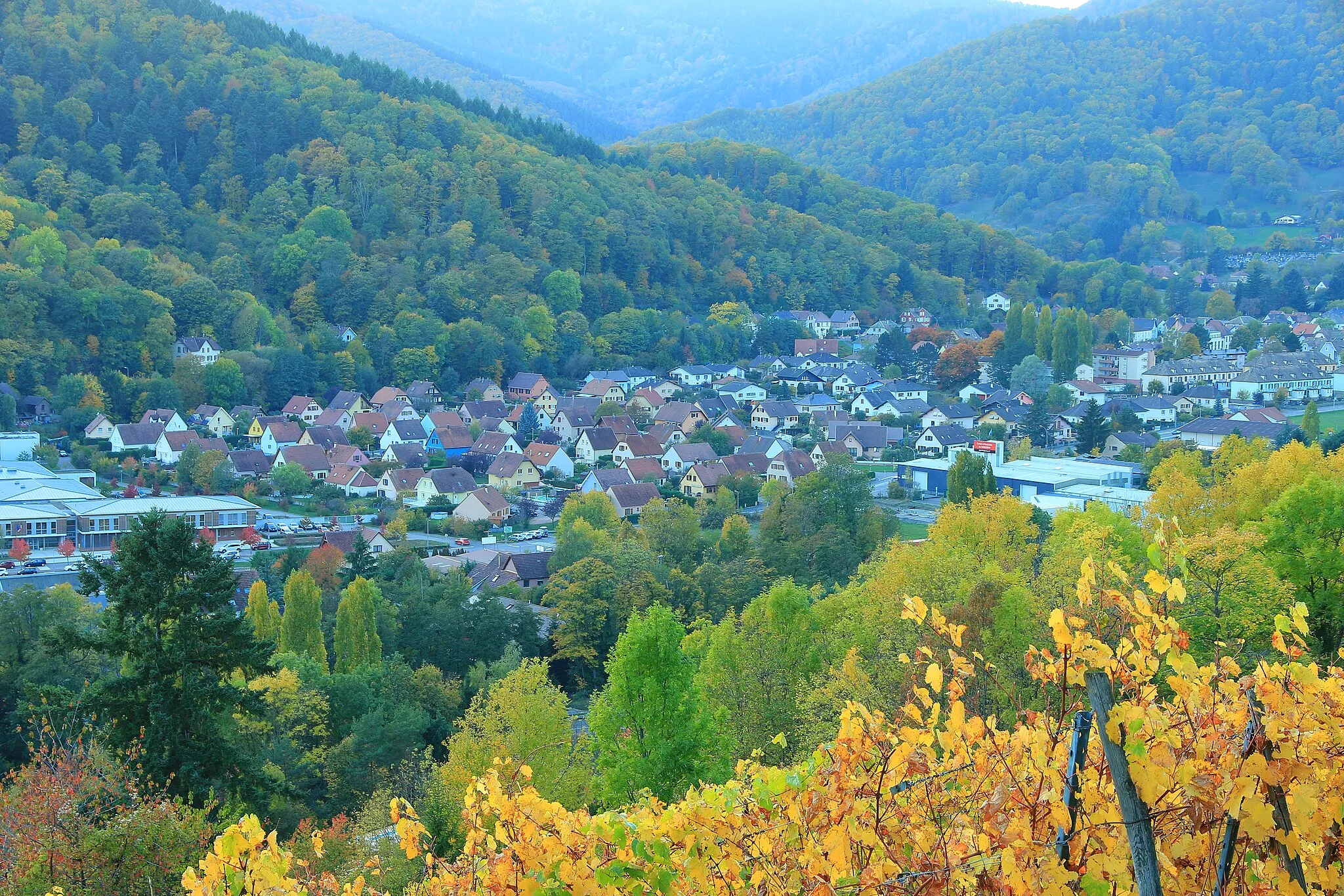
Soultz-Haut-RhinVillageSoultz-Haut-Rhin is a tranquil village with a rich heritage and quaint architecture.
12 km
12 km
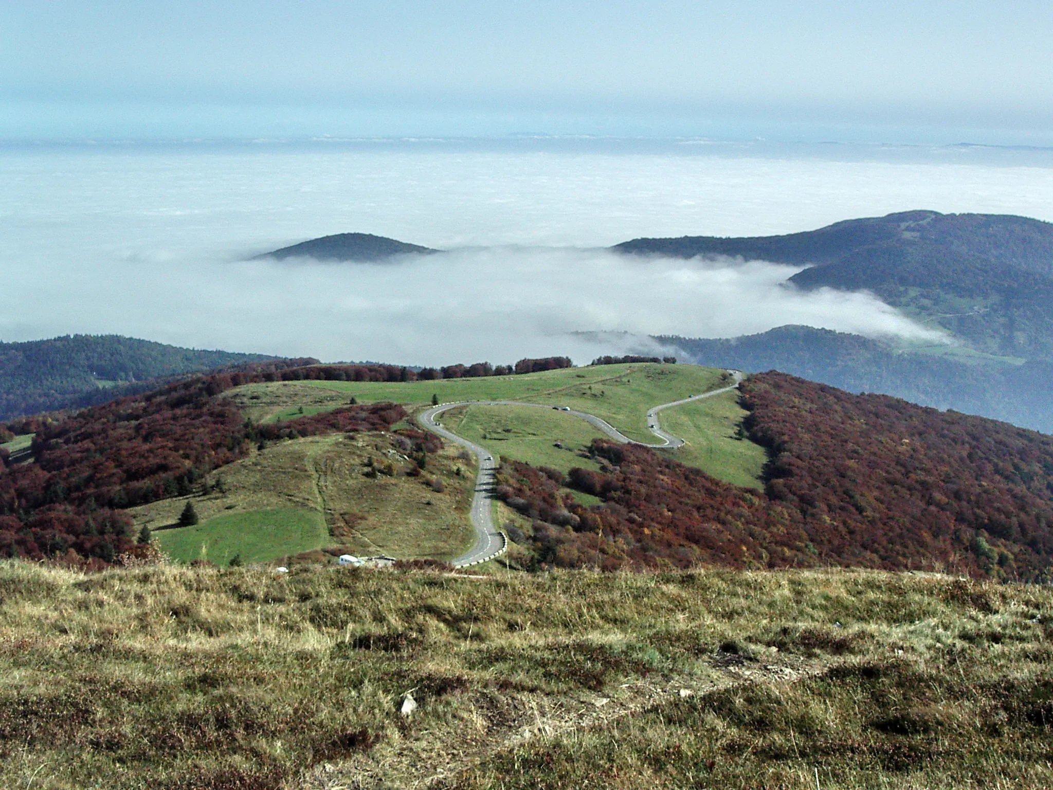
Vieil Armand956 mPeakVieil Armand, also known as Hartmannswillerkopf, is a historic battlefield that preserves trenches and offers panoramic views.
27 km
27 km
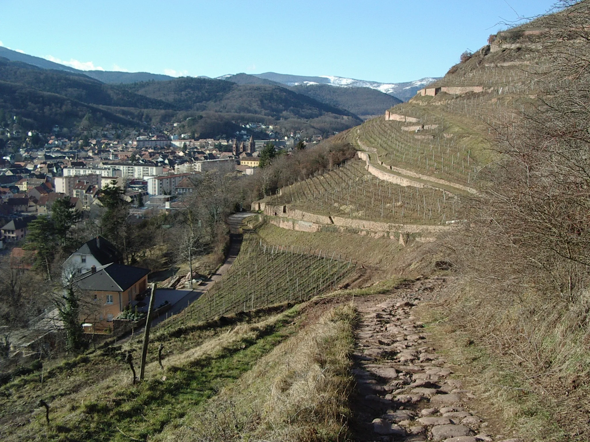
Voie RomaineViewpointVoie Romaine is an ancient Roman road that has been preserved and offers a glimpse into the region's history.
29 km
29 km
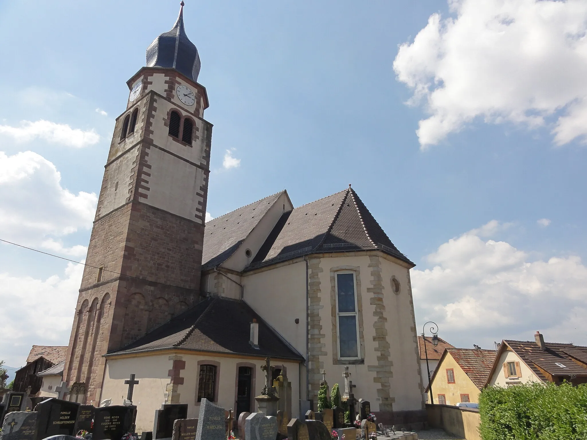
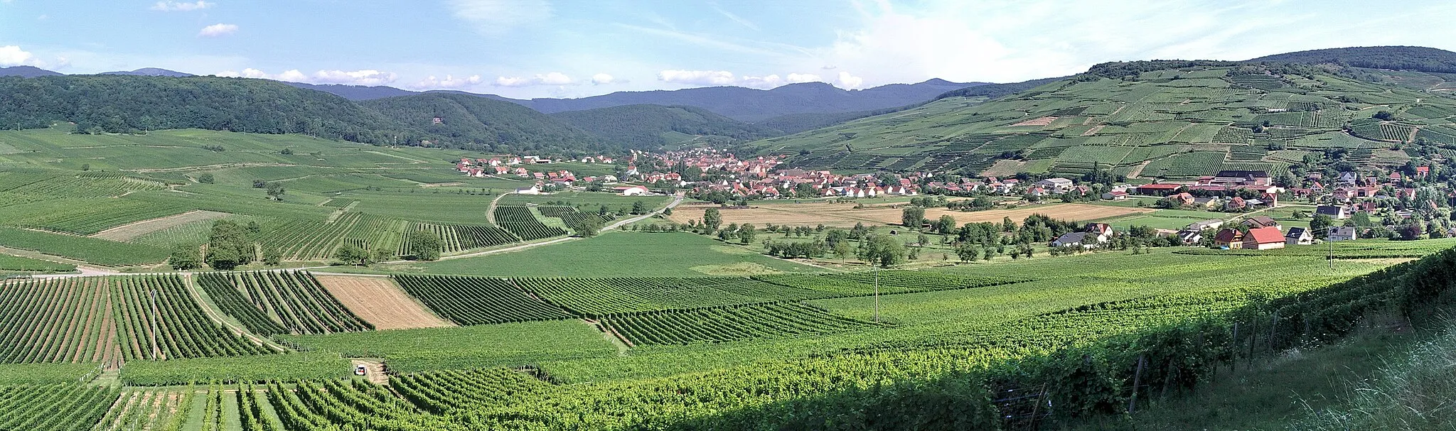
Saint-AmarinVillageSaint-Amarin is a charming town located near stunning nature reserves, perfect for outdoor enthusiasts.
43 km
43 km
Grand Ballon1424 mPeakGrand Ballon is the highest peak in the Vosges mountains, offering breathtaking views of the surrounding landscape.
48 km
48 km
Rimbach-près-GuebwillerVillageRimbach-près-Guebwiller is a small village located in the heart of the Vosges, offering peaceful surroundings.
54 km
54 km
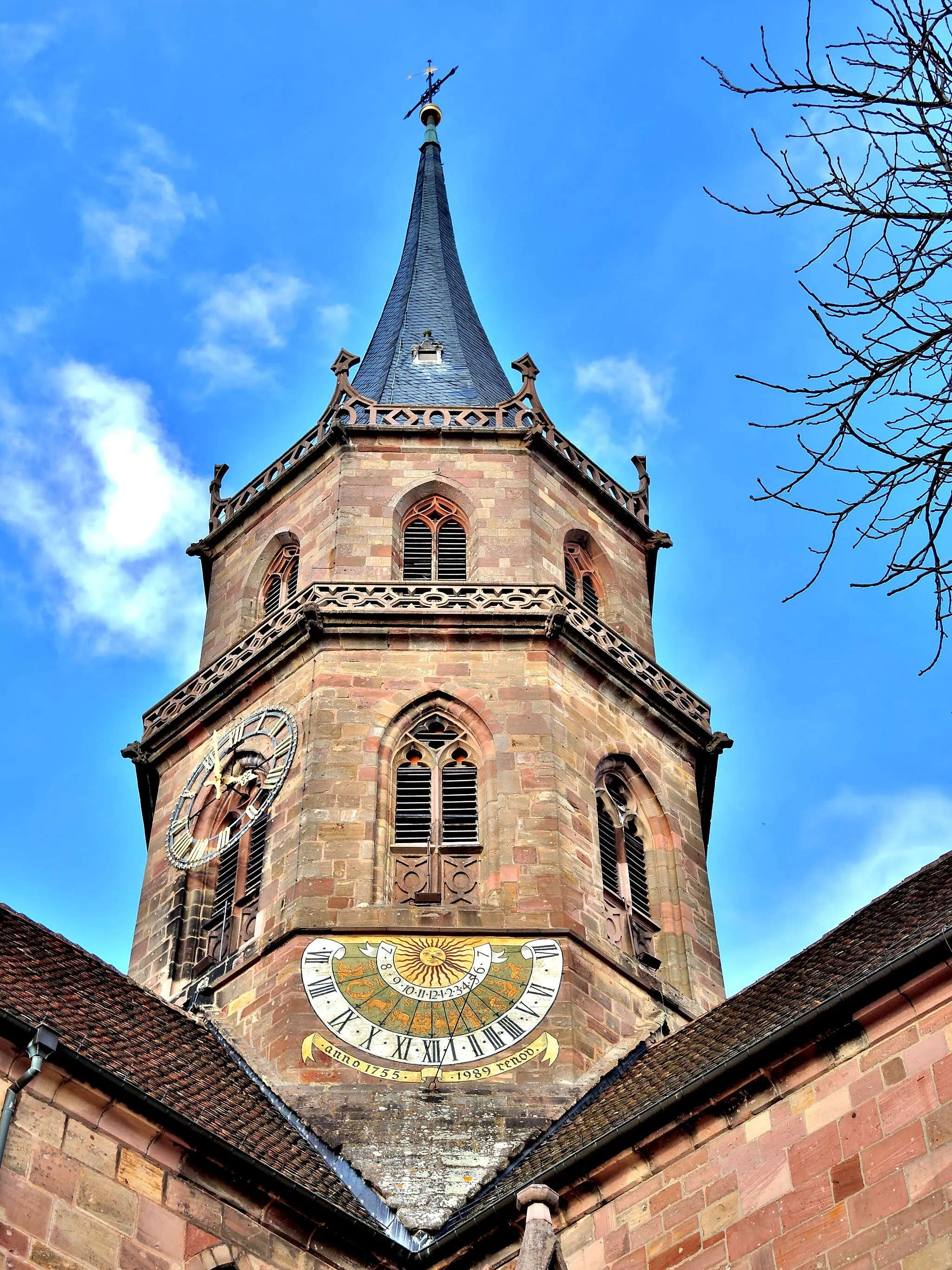
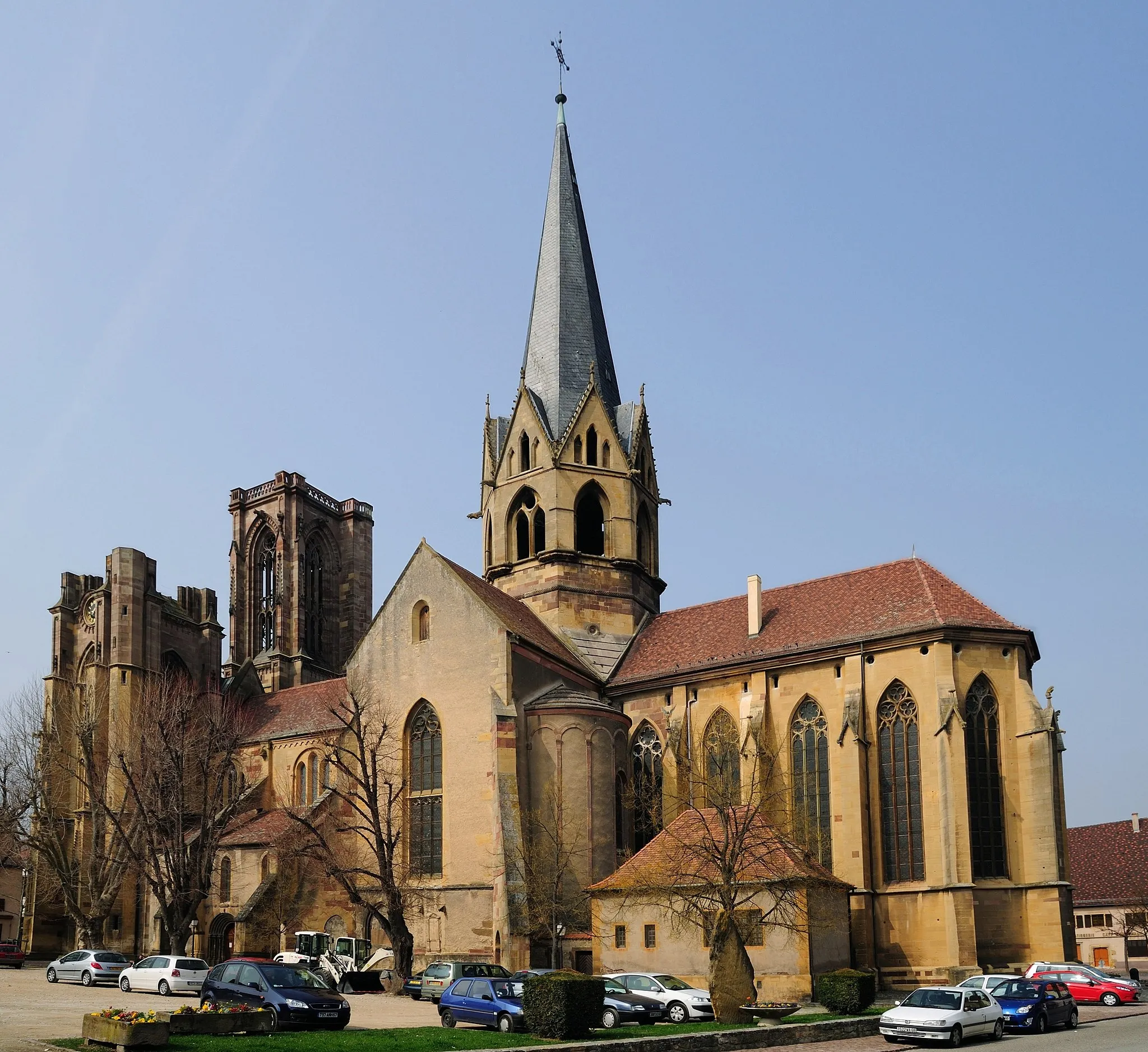
GuebwillerTownGuebwiller is a charming town known for its vineyards, historic buildings, and vibrant cultural scene.
57 km
57 km
Finish: Issenheim Village centerIssenheim: Charming countryside for leisurely rides.
Cycling routes nearby: