The Epic Gravel Challenge: Soultz-Haut-Rhin to Guebwiller
A gravel cycling route starting from Soultz-Haut-Rhin
Embark on an epic gravel challenge from Soultz-Haut-Rhin to Guebwiller
Map
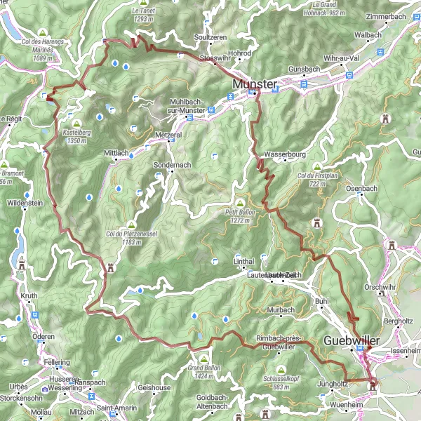
This challenging 88 km gravel route takes riders on an unforgettable journey from Soultz-Haut-Rhin to Guebwiller. With a total ascent of 2709 meters, cyclists will face exhilarating climbs and thrilling descents as they traverse through breathtaking landscapes. Highlights along the route include the iconic Château de Bucheneck, the stunning viewpoint at Fuchsfelsen, the picturesque village of Le Markstein, the majestic Hundskopf, and the renowned Col de la Schlucht. The route also passes through Stosswihr, Narrenstein, Engelstein, and Guebwiller, known for their natural beauty and cycling-friendly terrain.
gravel
88 km
2709 m
Savage
Route profile
Highlights on the route
0 km
0 km
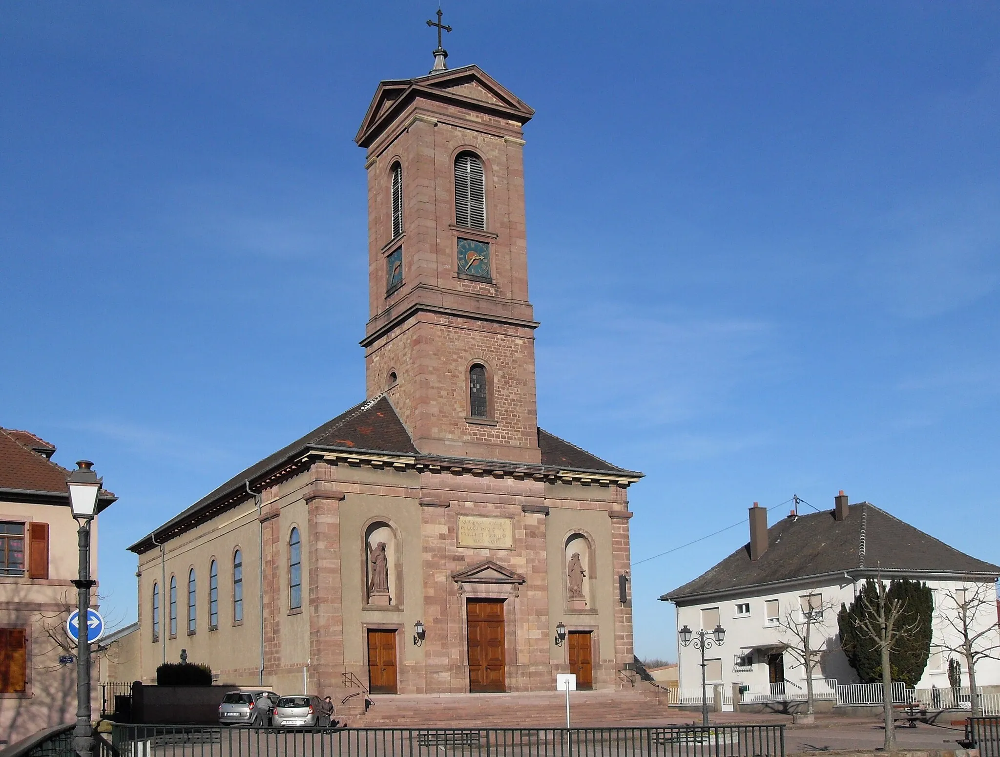
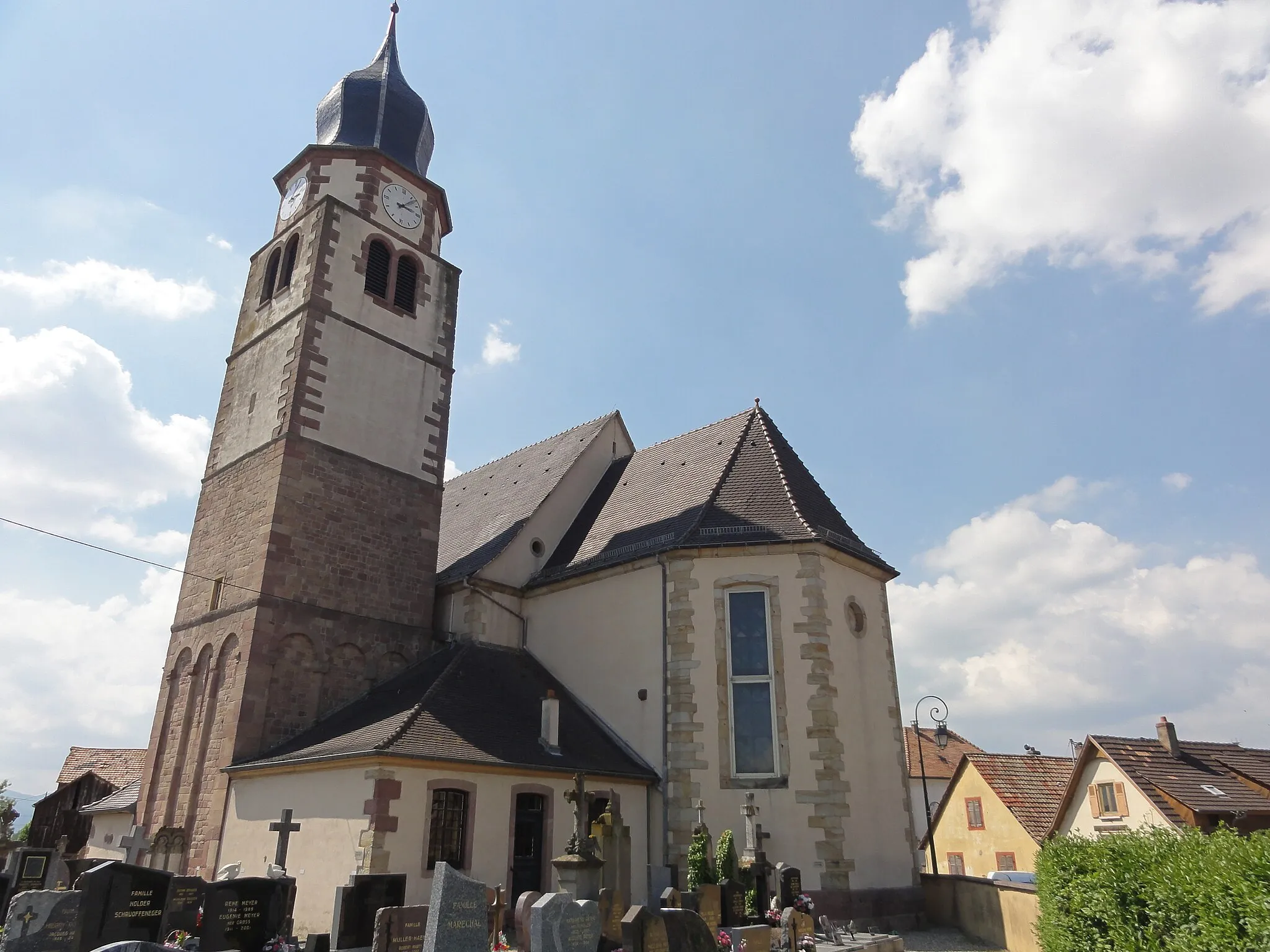
Start: Soultz-Haut-Rhin Village centerSoultz-Haut-Rhin: Cycling through Alsace's wine region and famous climbs
Soultz-Haut-Rhin, situated in Alsace, France, is a delightful locality for road and gravel cyclists. Nestled in the heart of the Alsace wine region, the area offers picturesque vineyards, charming villages, and smooth country roads. Cyclists can enjoy rolling terrain, scenic views of the vineyards, and the opportunity to taste exquisite wines during their rides. Additionally, nearby is the famous Col de l'Oberlauchen climb, attracting cyclists with its challenging gradients and stunning panoramas.0 km
0 km
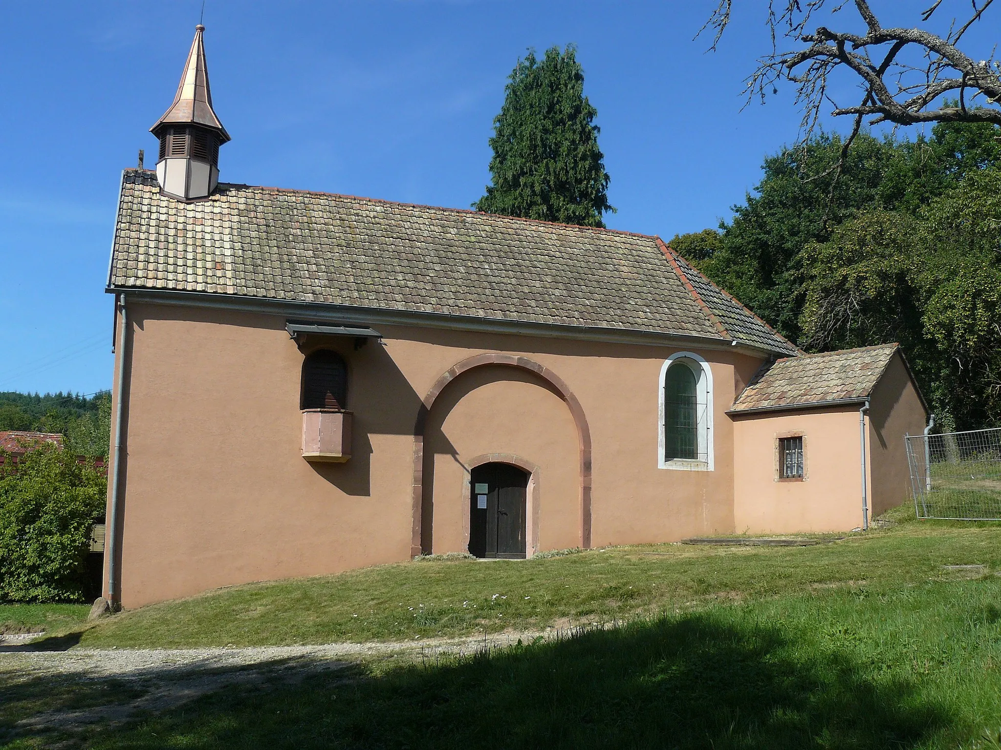
Château de BucheneckCastleChâteau de Bucheneck is an impressive medieval castle, offering a glimpse into the region's rich history.
2 km
2 km
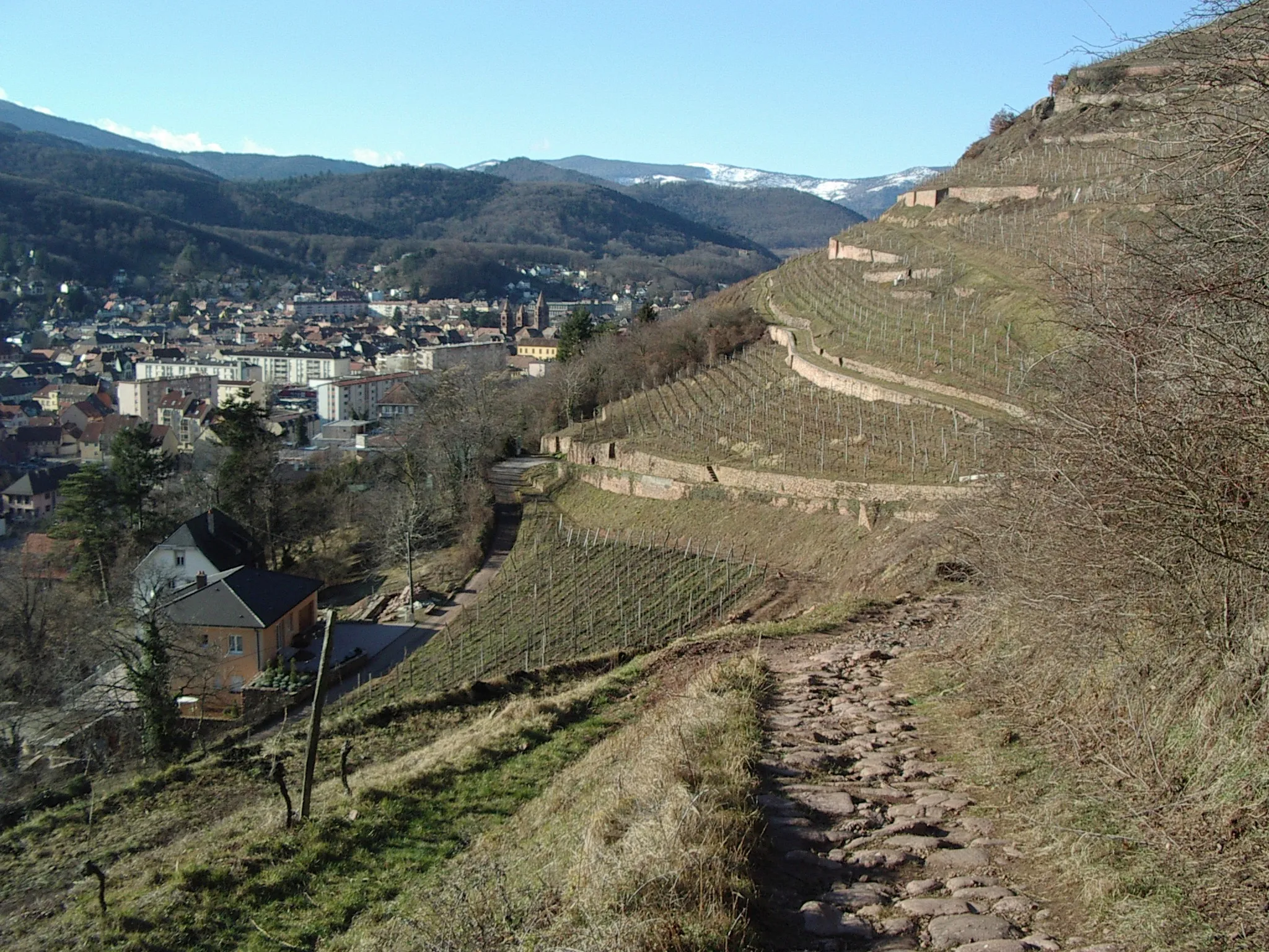
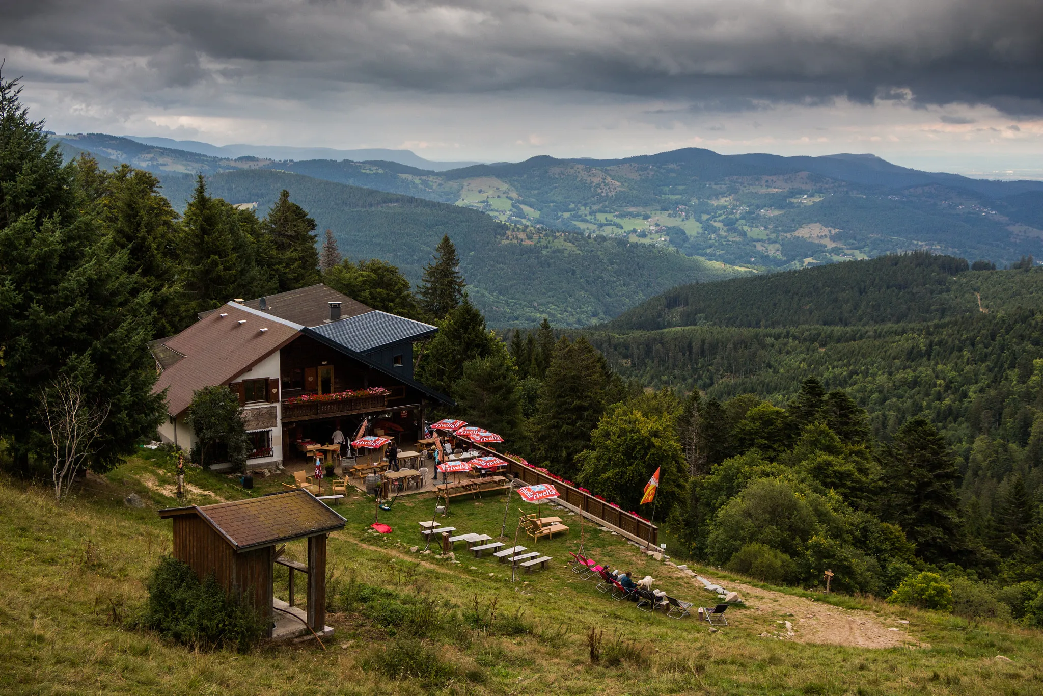
FuchsfelsenViewpointFuchsfelsen is a stunning viewpoint that offers panoramic views of the surrounding countryside, including the Vosges Mountains.
19 km
19 km
Le MarksteinHamletLe Markstein is a beautiful village located at the foot of the Vosges Mountains, offering stunning views and access to hiking trails.
27 km
27 km
Hundskopf1237 mPeakHundskopf is a majestic mountain peak known for its rocky terrain and challenging trails, attracting outdoor enthusiasts from all over the region.
46 km
46 km
La SchluchtHamletLa Schlucht is a legendary climb in the Vosges Mountains, offering breathtaking views and a challenging ascent for experienced cyclists.
46 km
46 km
Col de la Schlucht1139 mMountain PassCol de la Schlucht is a famous cycling spot, known for its challenging ascent and stunning views from the summit.
55 km
55 km
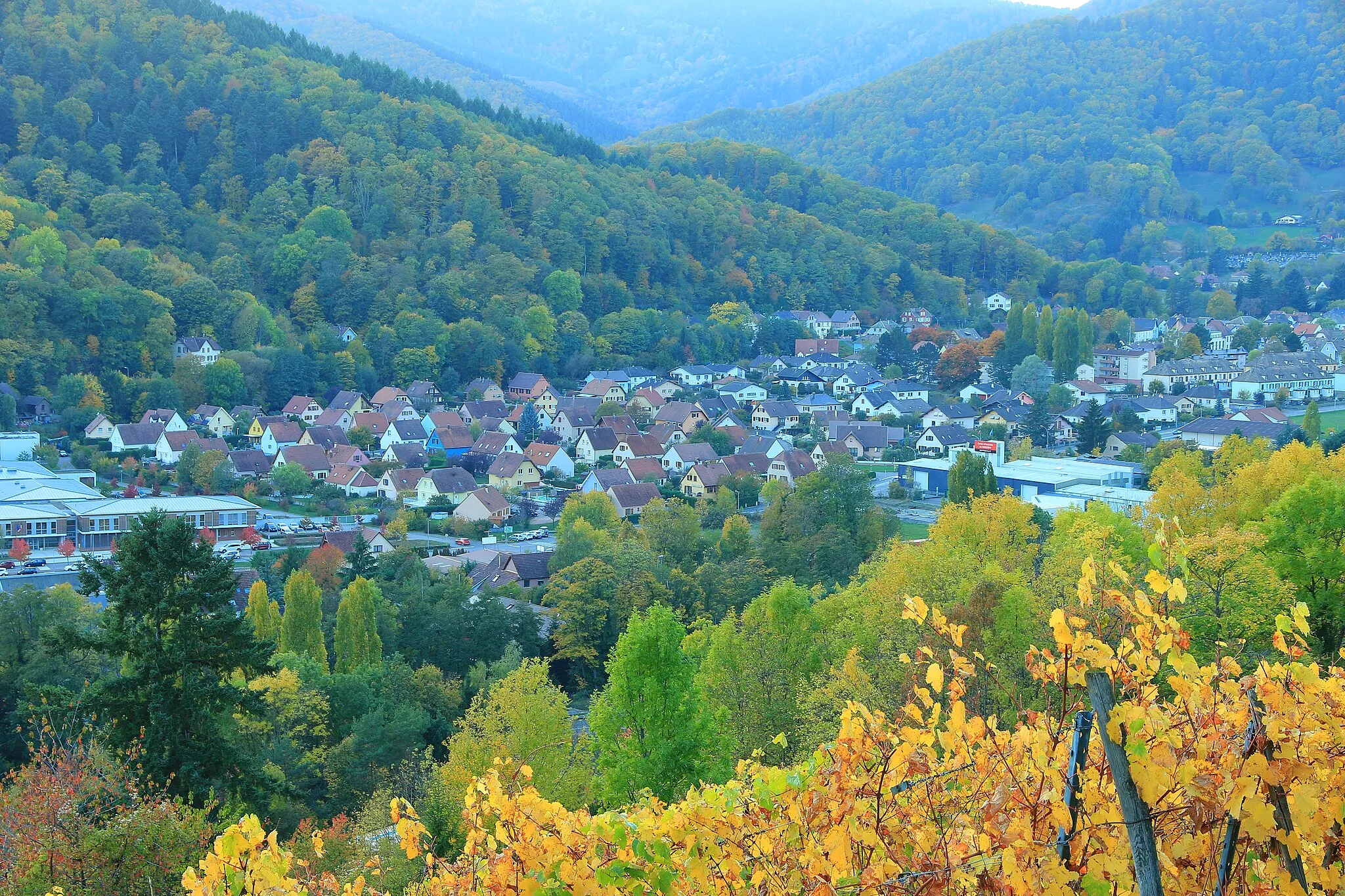
StosswihrVillageStosswihr is a charming village located in the heart of the Vosges Mountains, offering a peaceful retreat for cyclists.
59 km
59 km
NarrensteinViewpointNarrenstein is a secluded mountain peak known for its rugged beauty and challenging trails, perfect for adventure-seeking cyclists.
74 km
74 km
Engelstein683 mPeakEngelstein offers a unique rock formation that attracts climbers and hikers, providing a thrilling experience for outdoor enthusiasts.
83 km
83 km
GuebwillerTownGuebwiller is a historic town known for its picturesque streets, wine culture, and natural beauty, making it a worthy stop on this epic gravel challenge.
88 km
88 km
Finish: Soultz-Haut-Rhin Village centerSoultz-Haut-Rhin: Cycling through Alsace's wine region and famous climbs
Cycling routes from Soultz-Haut-Rhin:
The Countryside Charm: Osenbach Loop The Riverside Ride: Issenheim to Soultz-Haut-Rhin Alsace Road Tour Adventures Through Vineyards: Rouffach to Bollwiller Col du Lait Ultimate Challenge Soultz-Haut-Rhin to Soultz-Haut-Rhin Gravel Loop Das Vosges Abenteuer The Epic Gravel Challenge: Soultz-Haut-Rhin to Guebwiller Alsace Gravel Adventure Alsace Gravel Thrill
Cycling routes nearby: