Gravel Adventure: Aydat and Beyond
A gravel cycling route starting from Aydat
Embark on a gravel adventure encompassing Aydat and its enchanting surrounds.
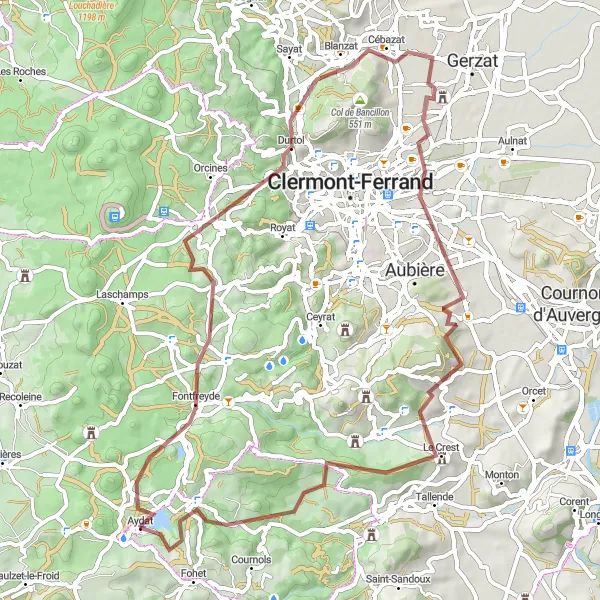
Map
Discover a mix of natural and historical highlights as you pedal through diverse landscapes characterized by volcanic formations and charming villages. With moderate difficulty, this route offers a variety of experiences for gravel riders.
gravel
68 km
1158 m
Tough
Route profile
Highlights on the route
0 km
0 km
Start: Aydat Village centerAydat: Cycling through the picturesque landscapes of Aydat and conquering famous climbs.
Aydat is a charming locality situated in the Auvergne region of France. From a road and gravel cyclist's point of view, Aydat offers picturesque landscapes and well-maintained cycling routes. The area is known for its beautiful countryside, with rolling hills and serene lakes. Cyclists can enjoy riding through the scenic routes surrounding Lake Aydat, which also offers opportunities for water sports such as kayaking and swimming. One famous cycling-related spot near Aydat is the Col de la Côte de la Baraque, a challenging climb that is often featured in the Tour de France.0 km
0 km
SauteyrasHamlet3 km
3 km
Col de la Ventouse964 mMountain PassPass by Col de la Ventouse, providing vistas of the beautiful countryside.
15 km
15 km
Puy de Montrodeix915 mPeakPedal towards the impressive Puy de Montrodeix, a volcano offering panoramic views of the surrounding area.
21 km
21 km
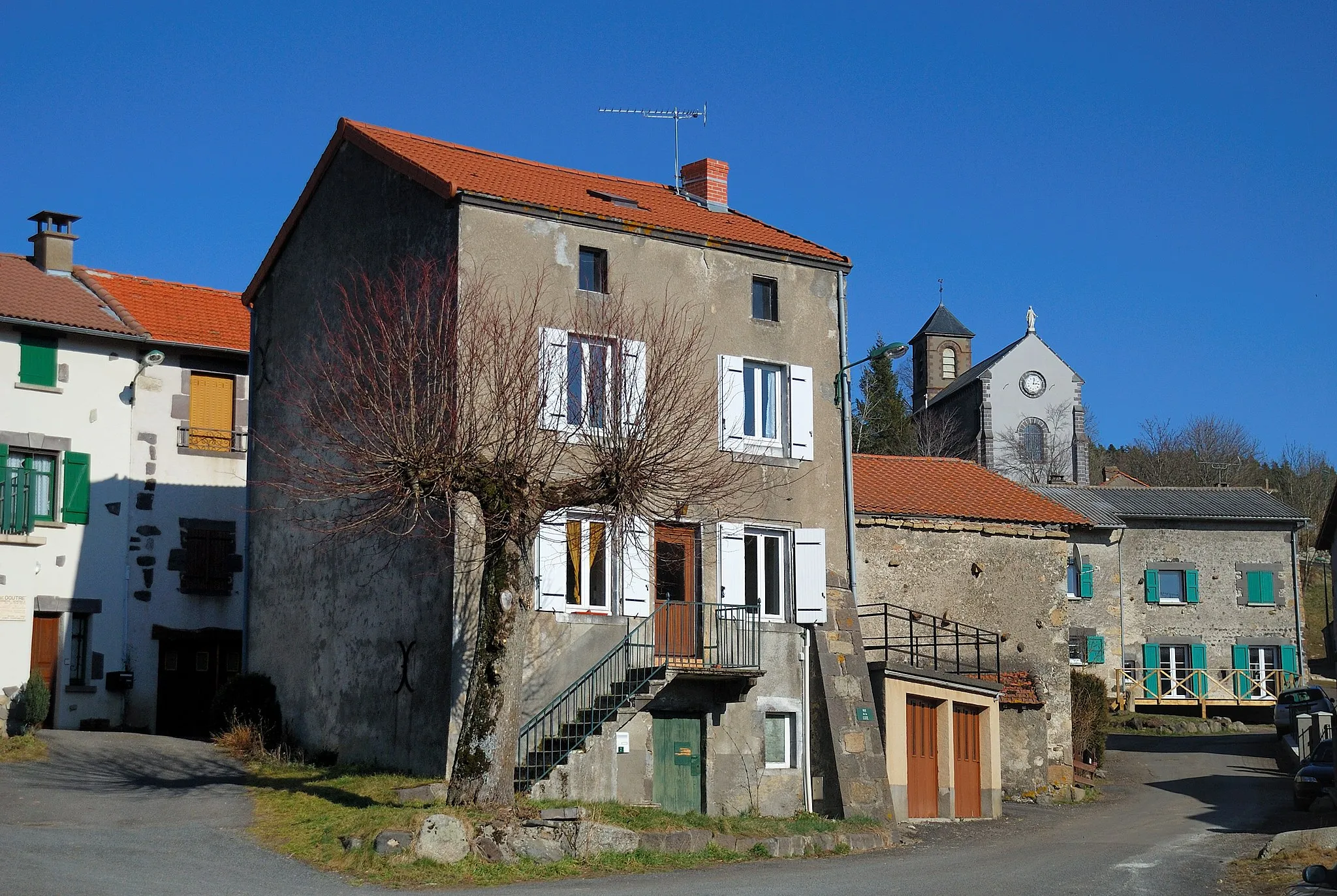
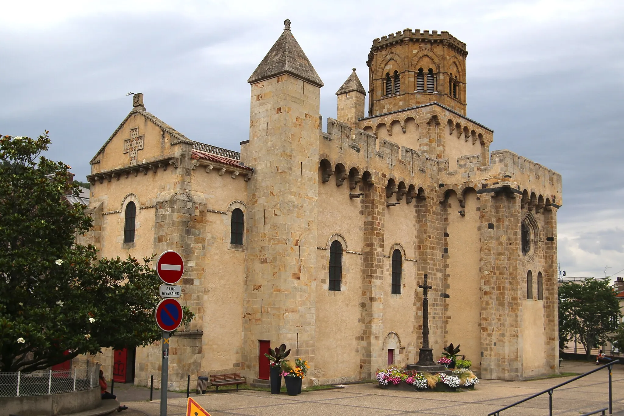
DurtolVillageExplore Durtol and its old stone houses, typical of the region's architecture.
28 km
28 km
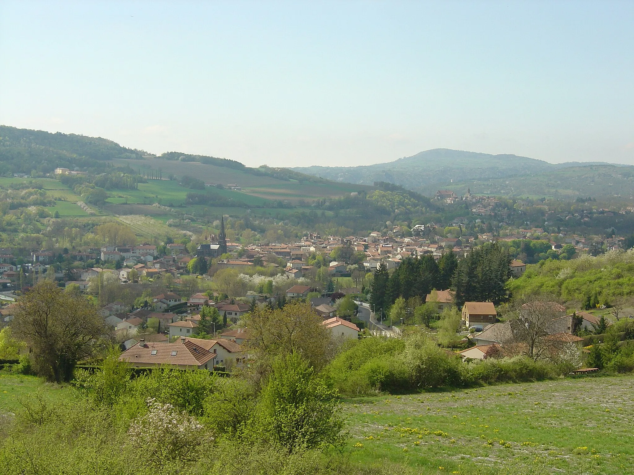
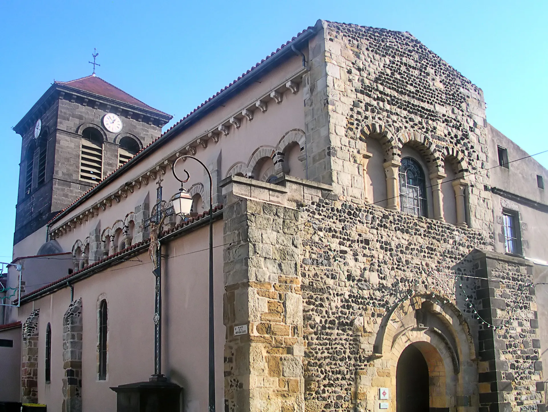
CébazatVillageDiscover Cébazat, an accompanying town with rich historical heritage and traditional charm.
42 km
42 km
Table d'orientationViewpointTake in the stunning views from the Table d'orientation, an orientation table located at a strategic viewpoint.
43 km
43 km
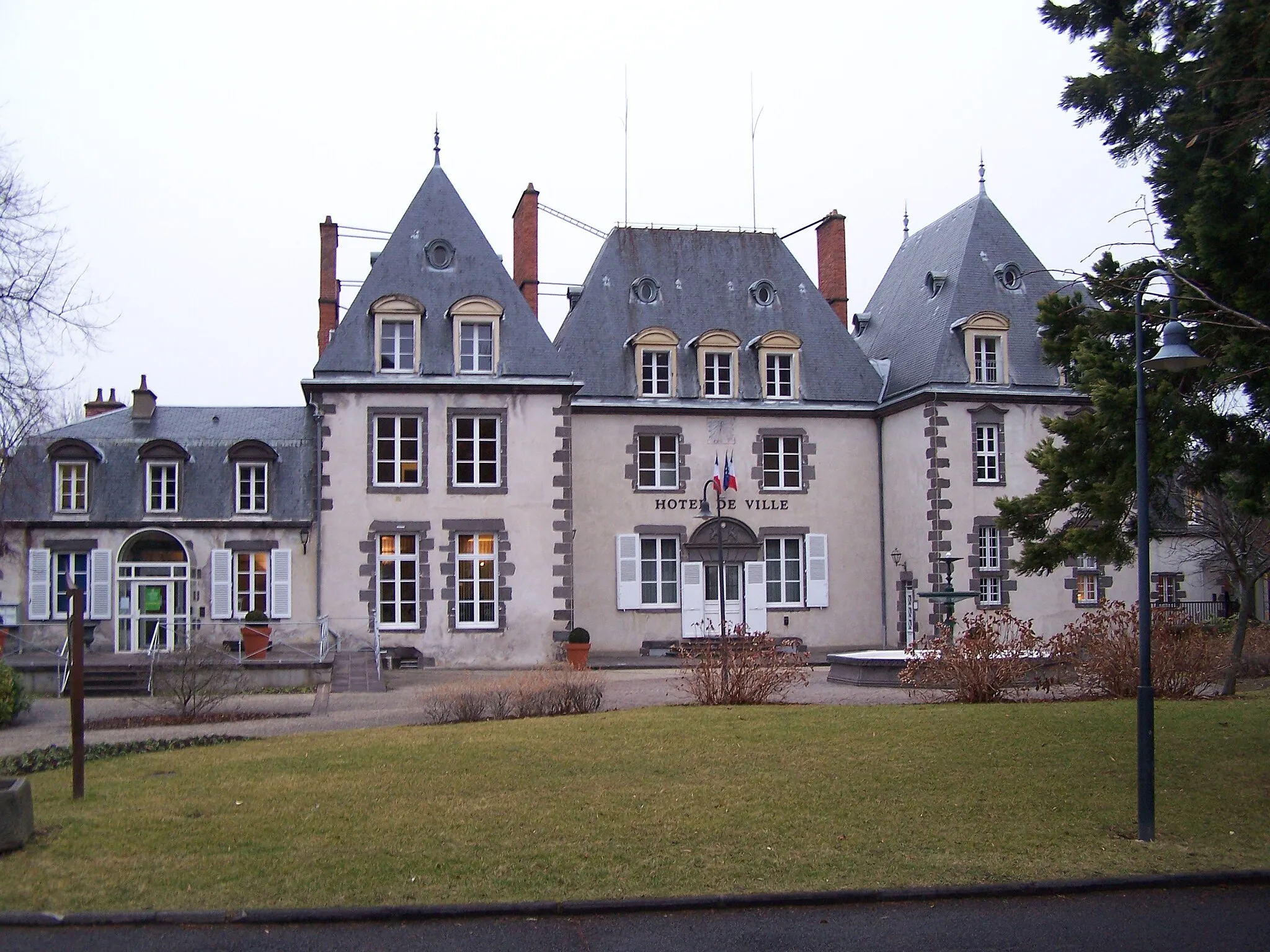
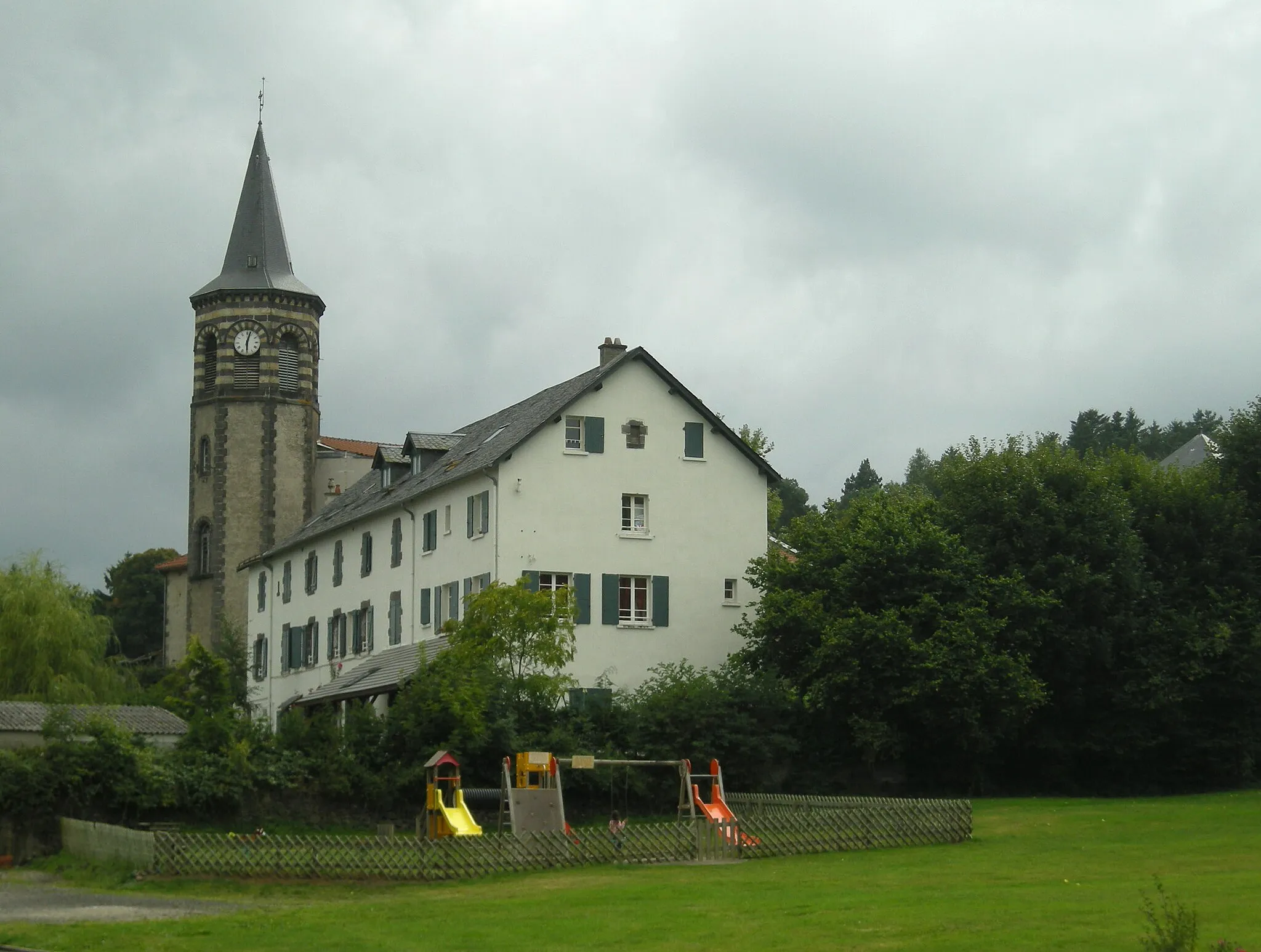
Pérignat-lès-SarlièveVillagePause at Pérignat-lès-Sarliève and explore its picturesque streets and well-preserved church.
51 km
51 km
Le CrestVillageMarvel at Le Crest, an imposing fortress that offers a glimpse into the region's medieval history.
59 km
59 km
Mont Redon872 mPeakMake a stop at Mont Redon, a volcanic peak, and enjoy panoramic views of the surrounding countryside.
67 km
67 km
ObservatoireShelterVisit the Observatoire, an astronomical observatory located at a prime viewing spot for starry nights.
68 km
68 km
Finish: Aydat Village centerAydat: Cycling through the picturesque landscapes of Aydat and conquering famous climbs.
Cycling routes from Aydat:
Auvergne Gravel Adventure Auvergne Gravel Explorer Auvergne Road Adventure Auvergne Endurance Challenge Auvergne Countryside Cruise Gravel Ride: Aydat Circuit Gravel Adventure: Aydat and Beyond Gravel Escape: Aydat Volcanoes Road Cycling Tour: Aydat's Hidden Gems Ultimate Road Cycling Challenge: Aydat's Spectacular Circuit
Cycling routes nearby: