Scenic Road Loop to Puy de Chanturgue
A road cycling route starting from Chamalieres
Discover the scenic beauty of Chamalières on this road cycling route that leads to the stunning Puy de Chanturgue.
Map

Explore the stunning landscapes and rolling hills of Chamalières on this 75-kilometer road cycling route. With an elevation gain of 536 meters, this route offers a moderate challenge for experienced cyclists. The highlight of this journey is the majestic Puy de Chanturgue, a volcanic peak that provides panoramic views of the surrounding area. Along the route, you will pass through Gerzat, Culhat, Vertaizon, Cournon-d'Auvergne, and Table d'orientation.
road
75 km
536 m
Tough
Route profile
Highlights on the route
0 km
0 km
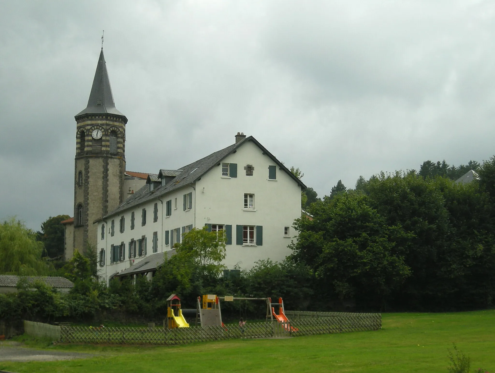
Start: Chamalières City centerChamalières: Chamalières offers stunning landscapes and renowned climb Puy de Dôme.
Chamalières, located in the Auvergne region of France, offers a mix of road and gravel cycling opportunities. The locality is known for its beautiful landscapes, including rolling hills, vineyards, and picturesque villages. Cyclists can enjoy exploring the scenic routes, which provide a good balance of challenging climbs and thrilling descents. One notable spot nearby is the Puy de Dôme, a famous climb that has been featured in several Tour de France stages. Overall, Chamalières is a great destination for road and gravel cyclists, with its stunning views and challenging terrain.4 km
4 km
Puy de Chanturgue551 mViewpointPuy de Chanturgue offers magnificent views of Chamalières and its surroundings.
10 km
10 km
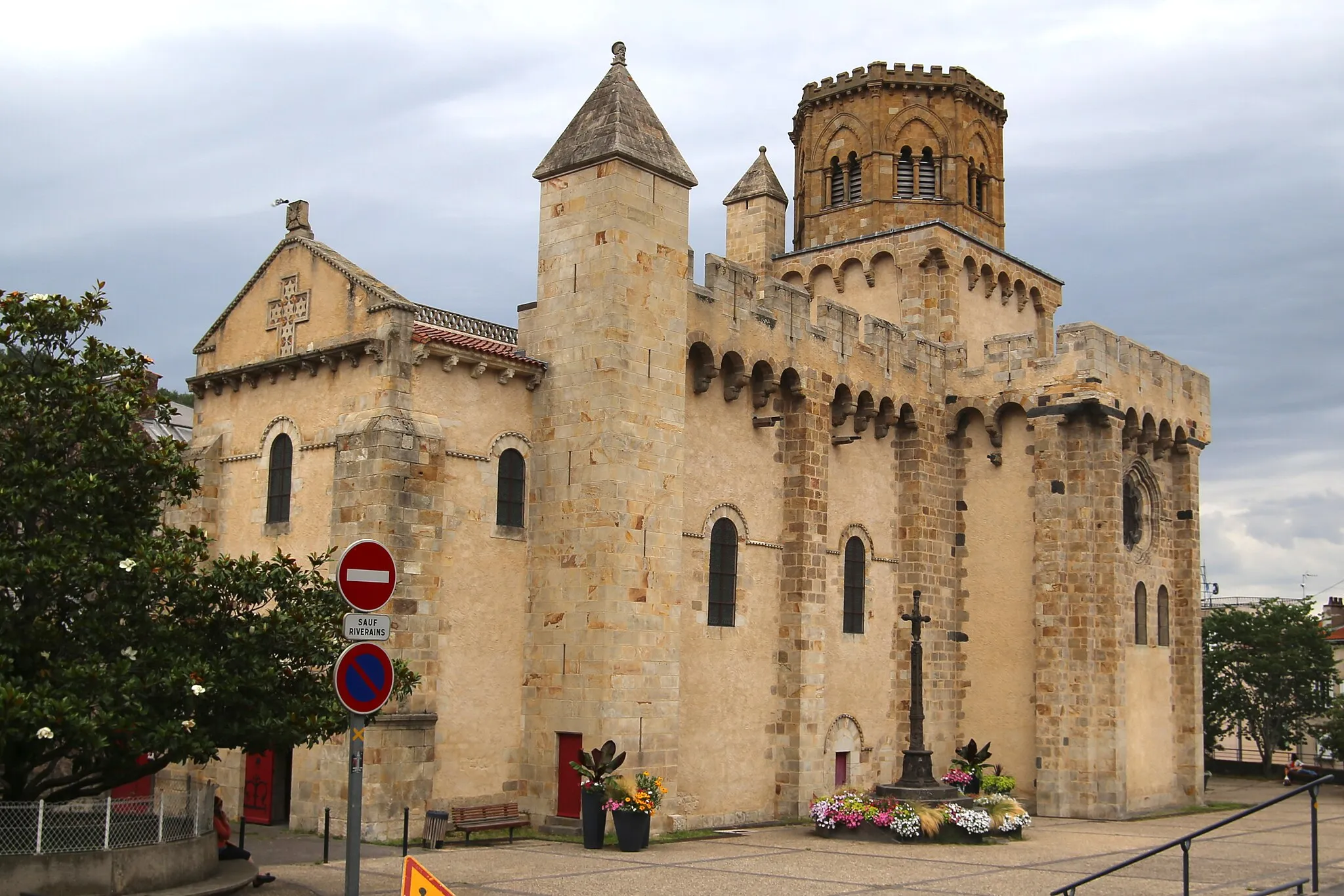
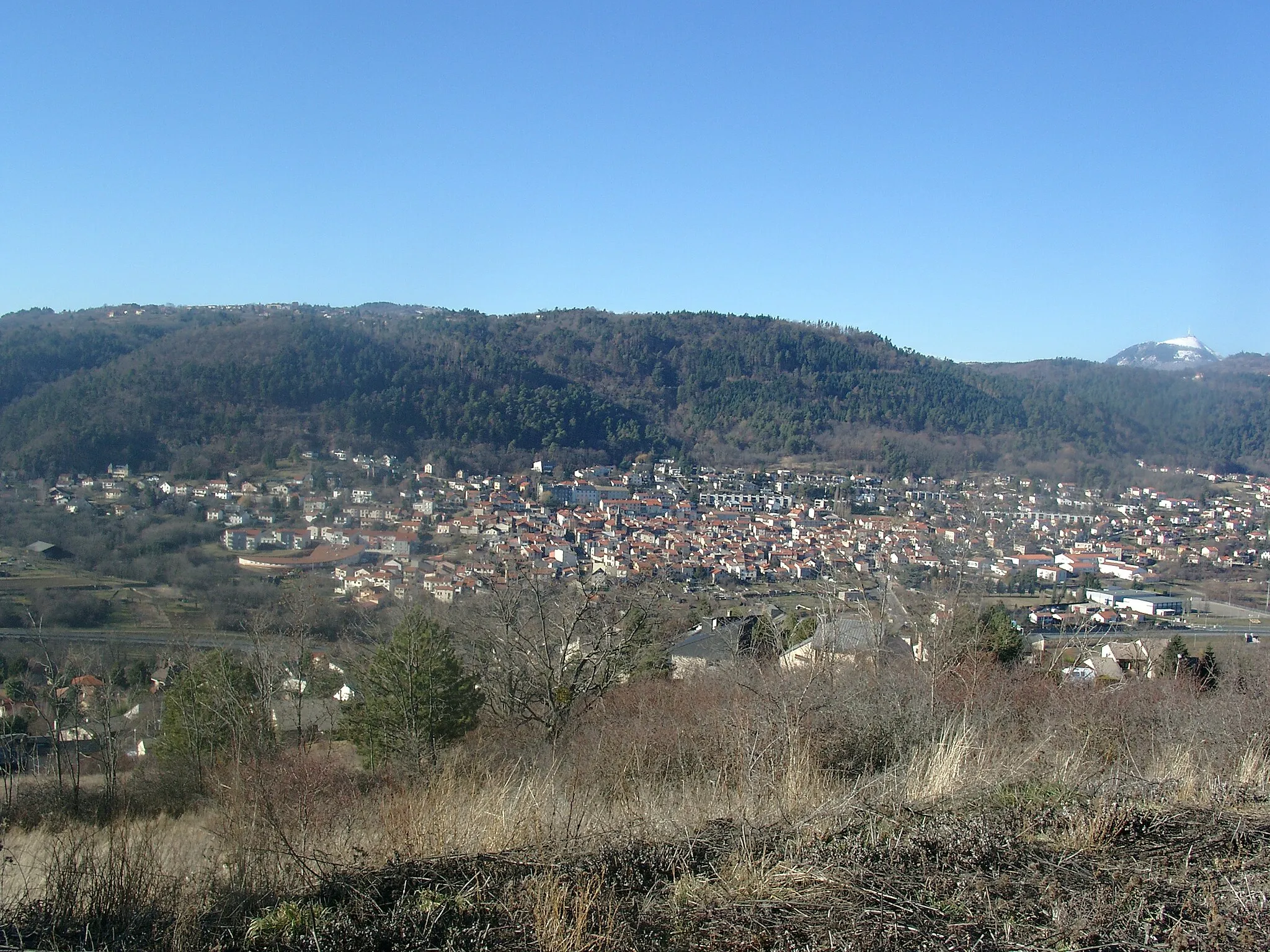
GerzatTownGerzat is a charming town with a rich historical heritage and picturesque streets.
29 km
29 km
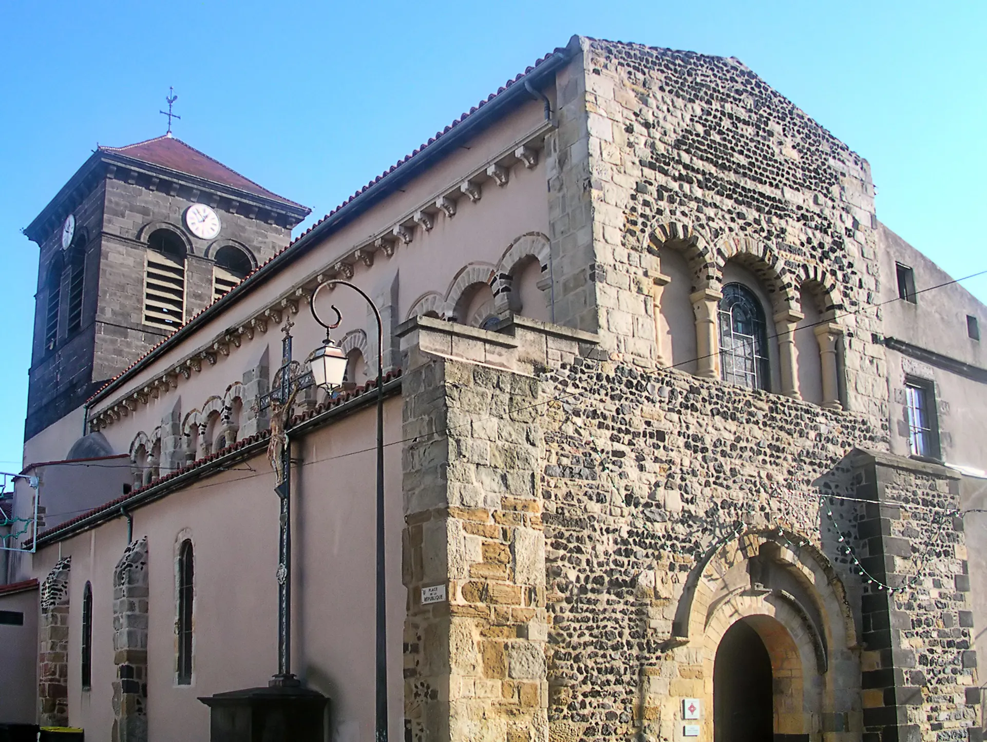
CulhatVillageCulhat is a hidden gem with beautiful natural landscapes and traditional architecture.
50 km
50 km
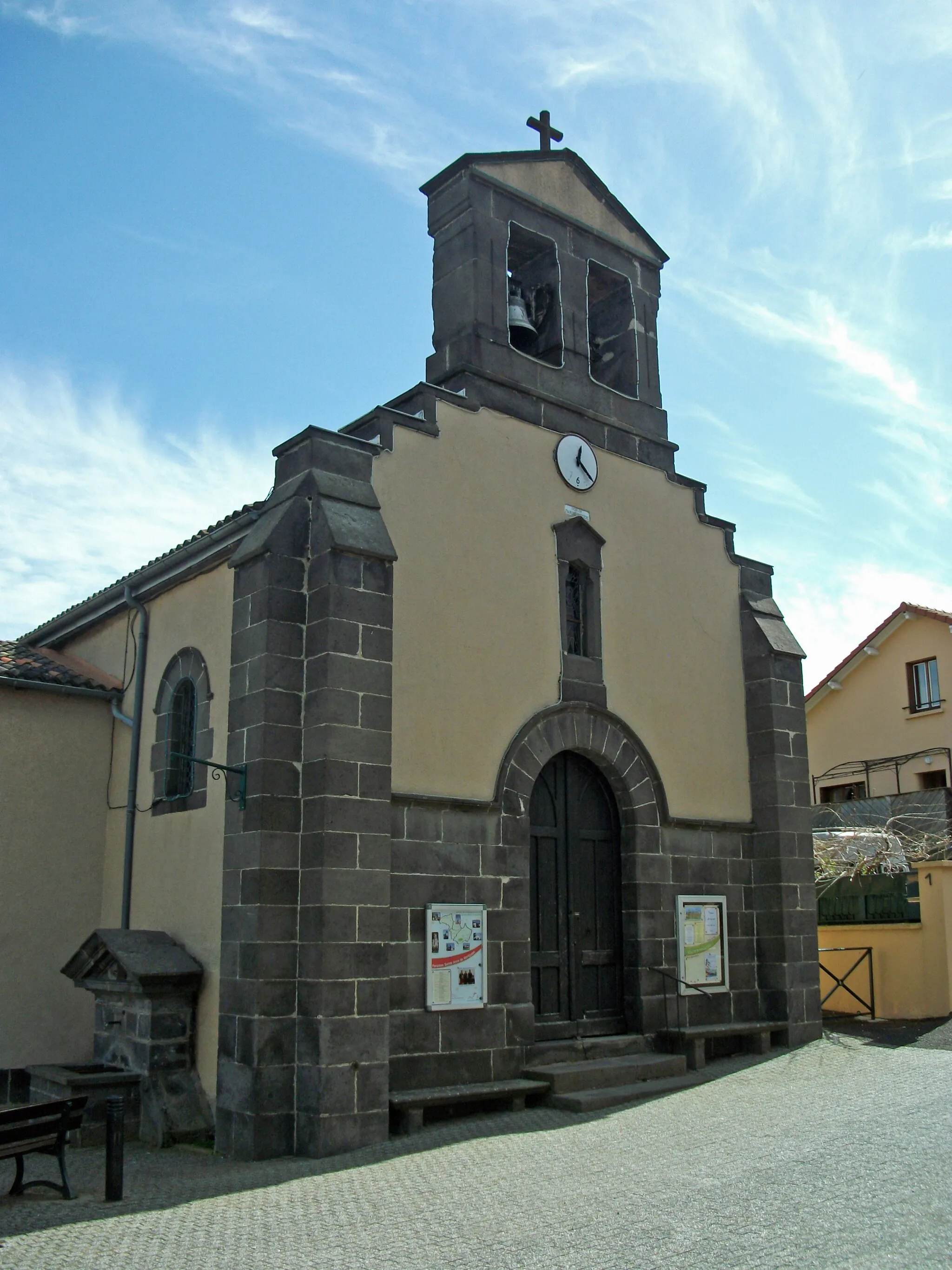
VertaizonVillageVertaizon is a small village with a rich cultural heritage and charming ambiance.
61 km
61 km
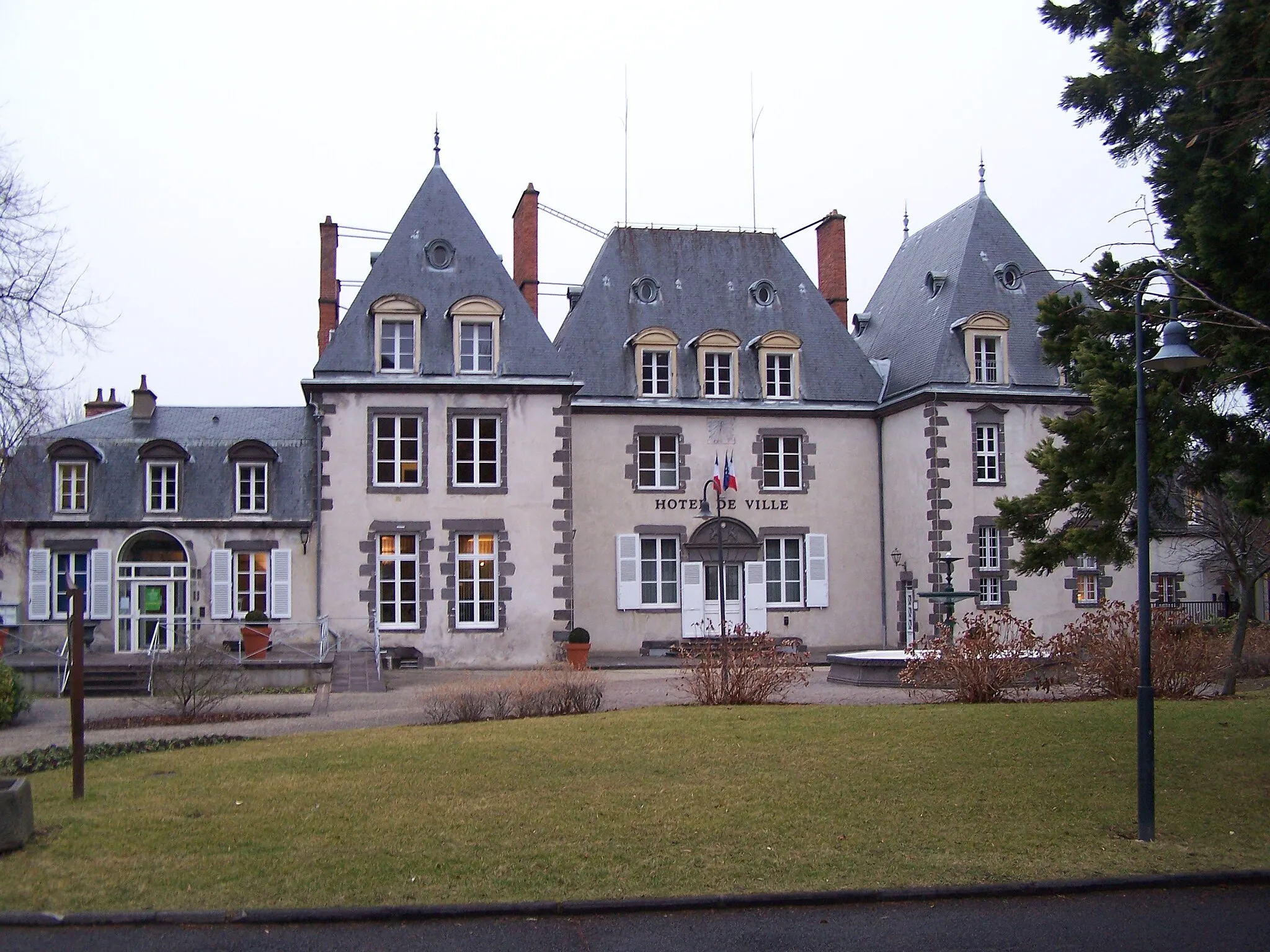
Cournon-d'AuvergneTownCournon-d'Auvergne is a bustling town with vibrant markets and historical landmarks.
69 km
69 km
Table d'orientationViewpointTable d'orientation offers a panoramic view of Chamalières and the surrounding region.
75 km
75 km
Finish: Chamalières City centerChamalières: Chamalières offers stunning landscapes and renowned climb Puy de Dôme.
Cycling routes from Chamalieres:
Scenic Ride: Chamalières Countryside Chamalières Circuit Scenic Road Loop to Puy de Chanturgue Road to Sommet de la Tour Gravel Adventure to Puy de Montaudoux Auvergne Adventure: Puy de Montaudoux and Aydat Gravel Adventure: Chamalières Escape The Ultimate Chamalières Challenge Challenging Road Loop to Puy de la Poix Gravel Adventure: Around Chamalières
Cycling routes nearby: