The Ultimate Chamalières Challenge
A road cycling route starting from Chamalieres
Embark on an epic cycling challenge through challenging terrain and breathtaking landscapes near Chamalières.
Map
Take on the ultimate cycling challenge with the Chamalières Challenge. This challenging route features steep ascents, thrilling descents, and stunning landscapes. With a difficulty rating of 5 and an epicness score of 5, this route is only suitable for experienced, well-trained cyclists. Highlights include the panoramic views from the Table d'orientation, the beautiful village of Chadeleuf, and the stunning Roche Nité. Take on this epic challenge and experience the true beauty of Auvergne!
road
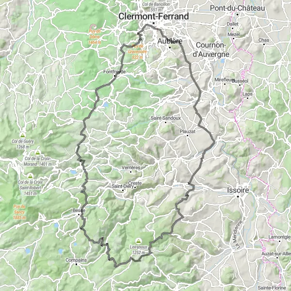
121 km
2378 m
Savage
Route profile
Highlights on the route
0 km
0 km
Start: Chamalières City centerChamalières: Chamalières offers stunning landscapes and renowned climb Puy de Dôme.
Chamalières, located in the Auvergne region of France, offers a mix of road and gravel cycling opportunities. The locality is known for its beautiful landscapes, including rolling hills, vineyards, and picturesque villages. Cyclists can enjoy exploring the scenic routes, which provide a good balance of challenging climbs and thrilling descents. One notable spot nearby is the Puy de Dôme, a famous climb that has been featured in several Tour de France stages. Overall, Chamalières is a great destination for road and gravel cyclists, with its stunning views and challenging terrain.4 km
4 km
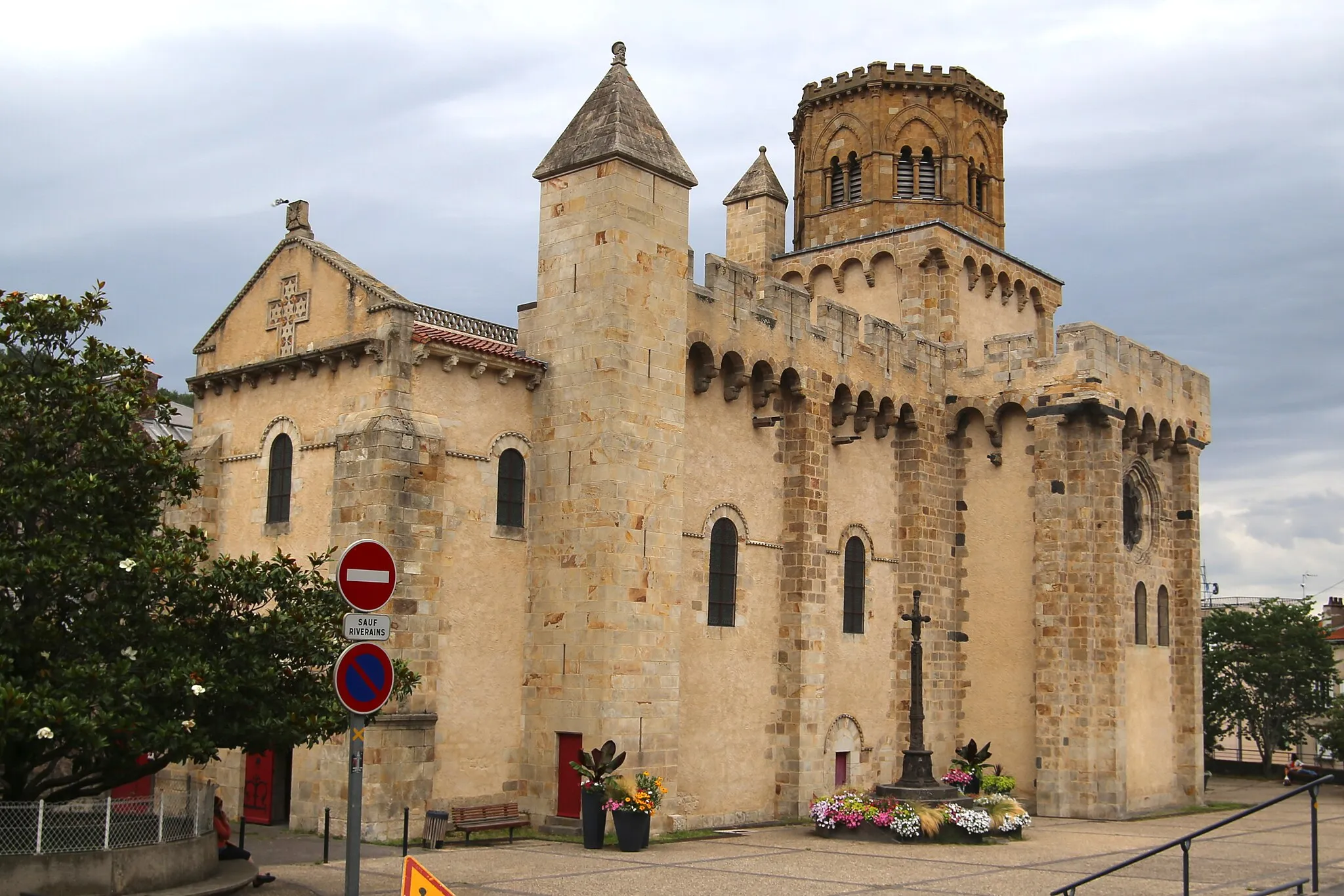
AubièreTownExplore the charming town of Aubière, known for its beautiful historic buildings and vibrant atmosphere.
6 km
6 km
Table d'orientationViewpointTake a break at the Table d'orientation and enjoy breathtaking panoramic views of the surrounding landscapes.
30 km
30 km
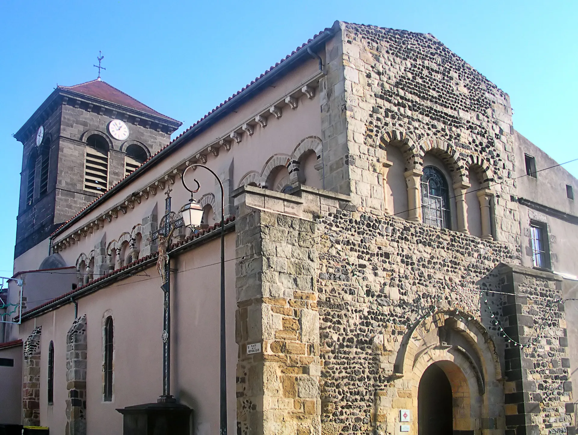
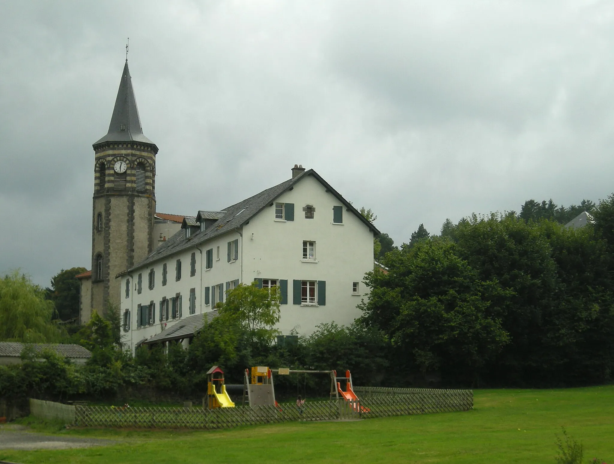
ChadeleufVillageVisit the picturesque village of Chadeleuf and immerse yourself in its rich history and natural beauty.
48 km
48 km
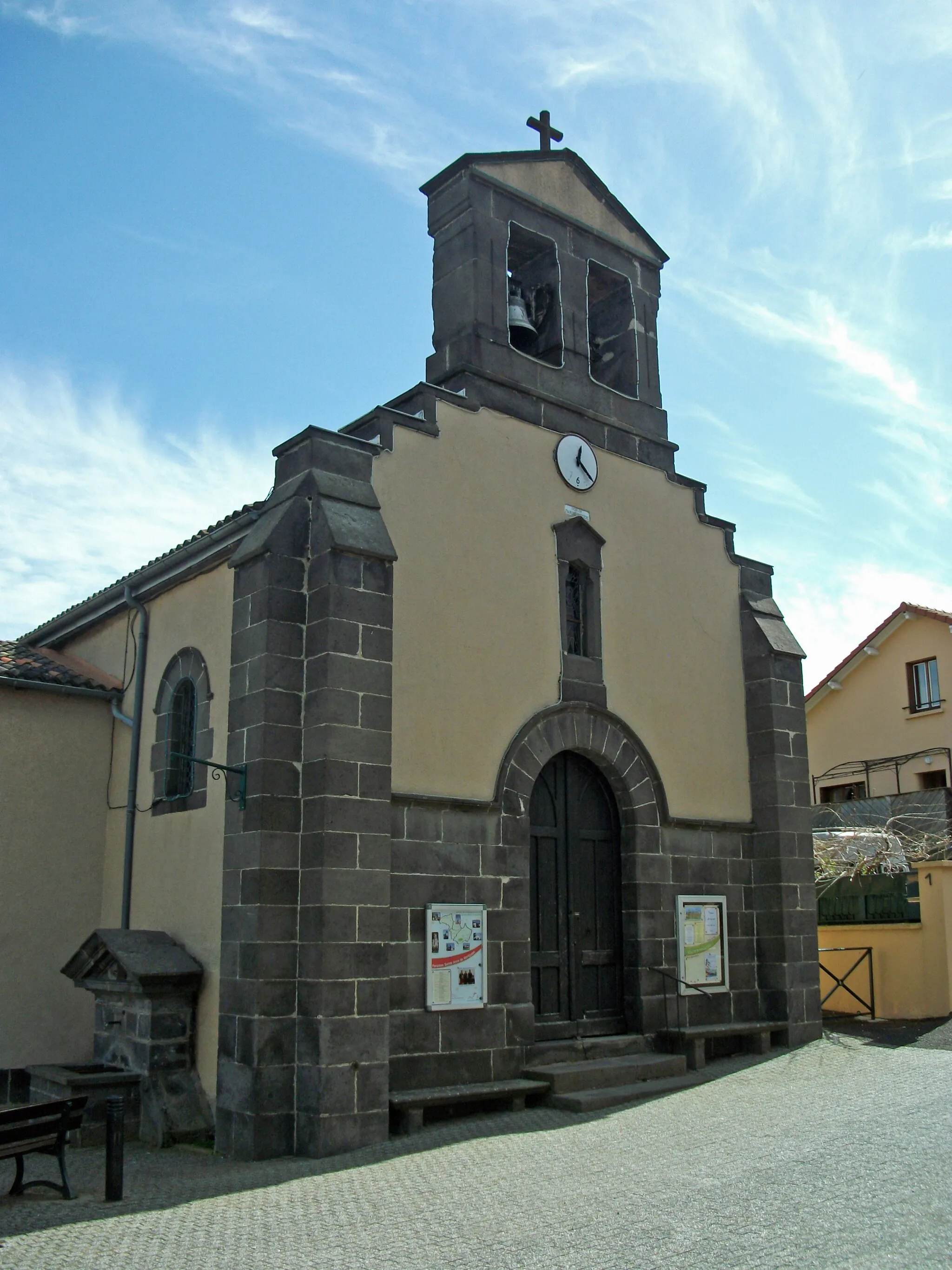
Dauzat-sur-VodableVillageCycle through the quaint village of Dauzat-sur-Vodable and admire its traditional architecture and scenic surroundings.
65 km
65 km
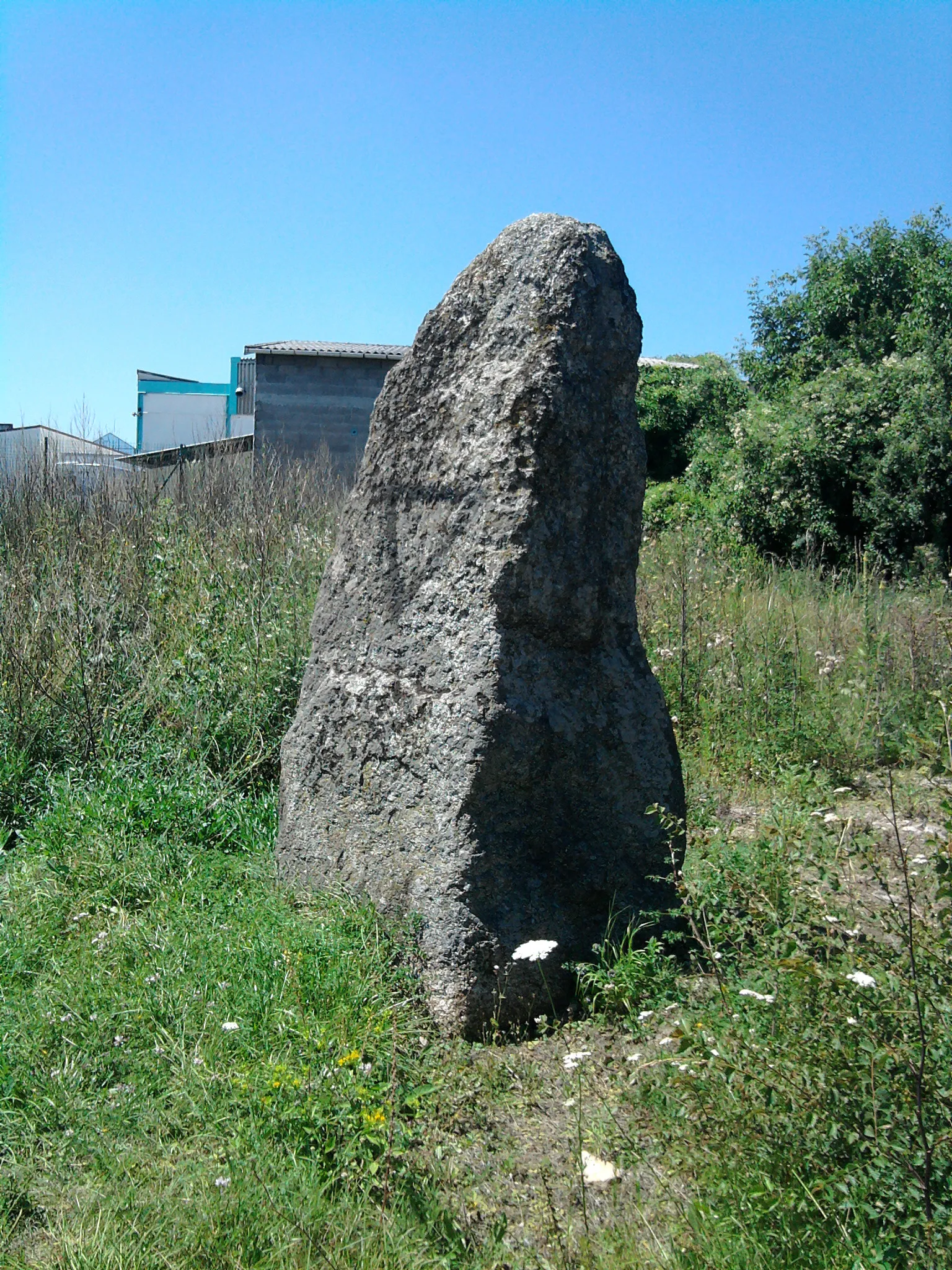
Roche NitéViewpointDiscover the beauty of Roche Nité, a unique rock formation with stunning views of the surrounding area.
66 km
66 km
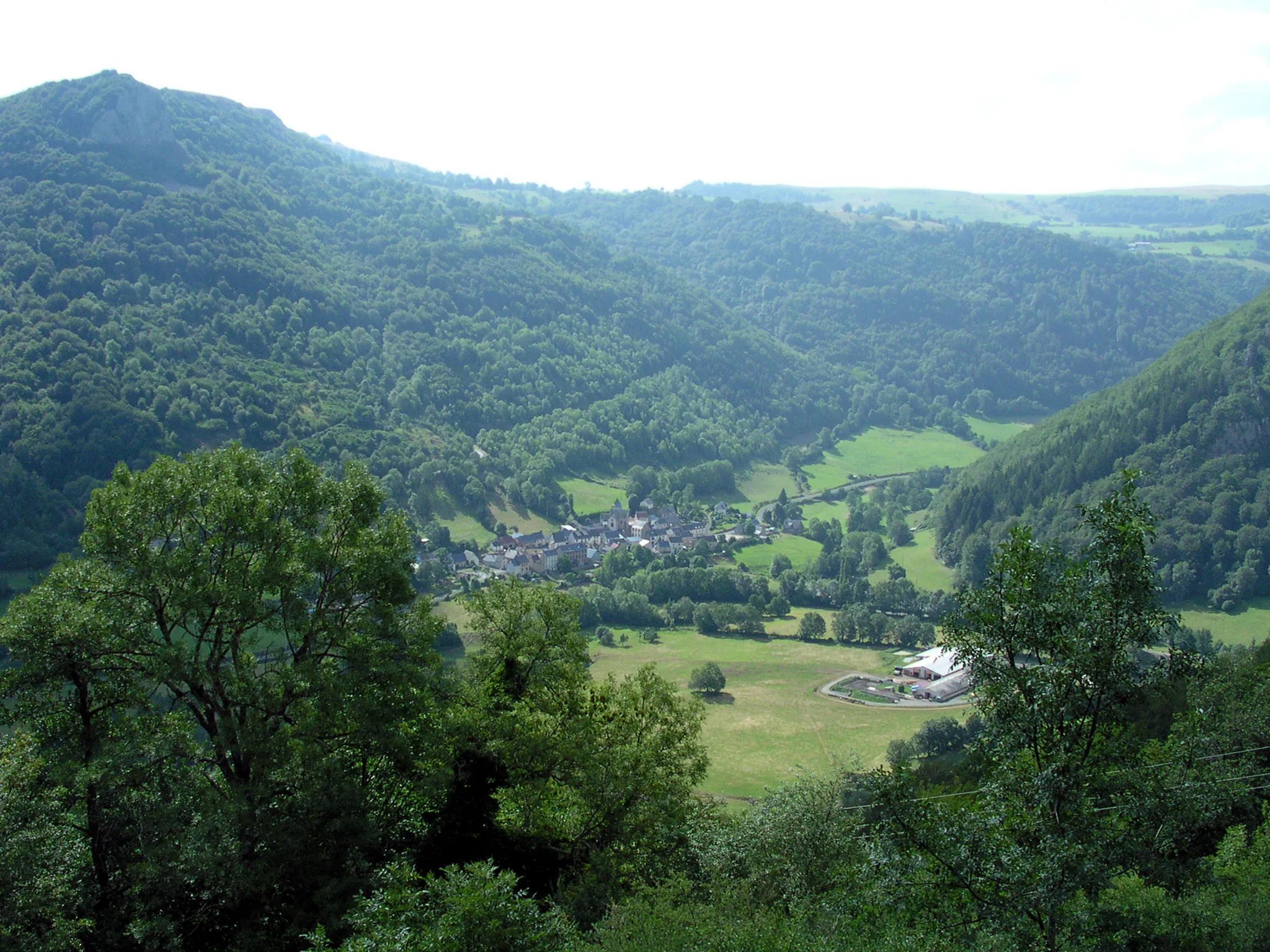
ValbeleixVillageExplore Valbeleix, a charming village nestled in the heart of Auvergne's picturesque landscapes.
79 km
79 km
Puy de Montredon1076 mPeakReach the summit of Puy de Montredon and experience breathtaking views of the surrounding volcanoes and countryside.
87 km
87 km
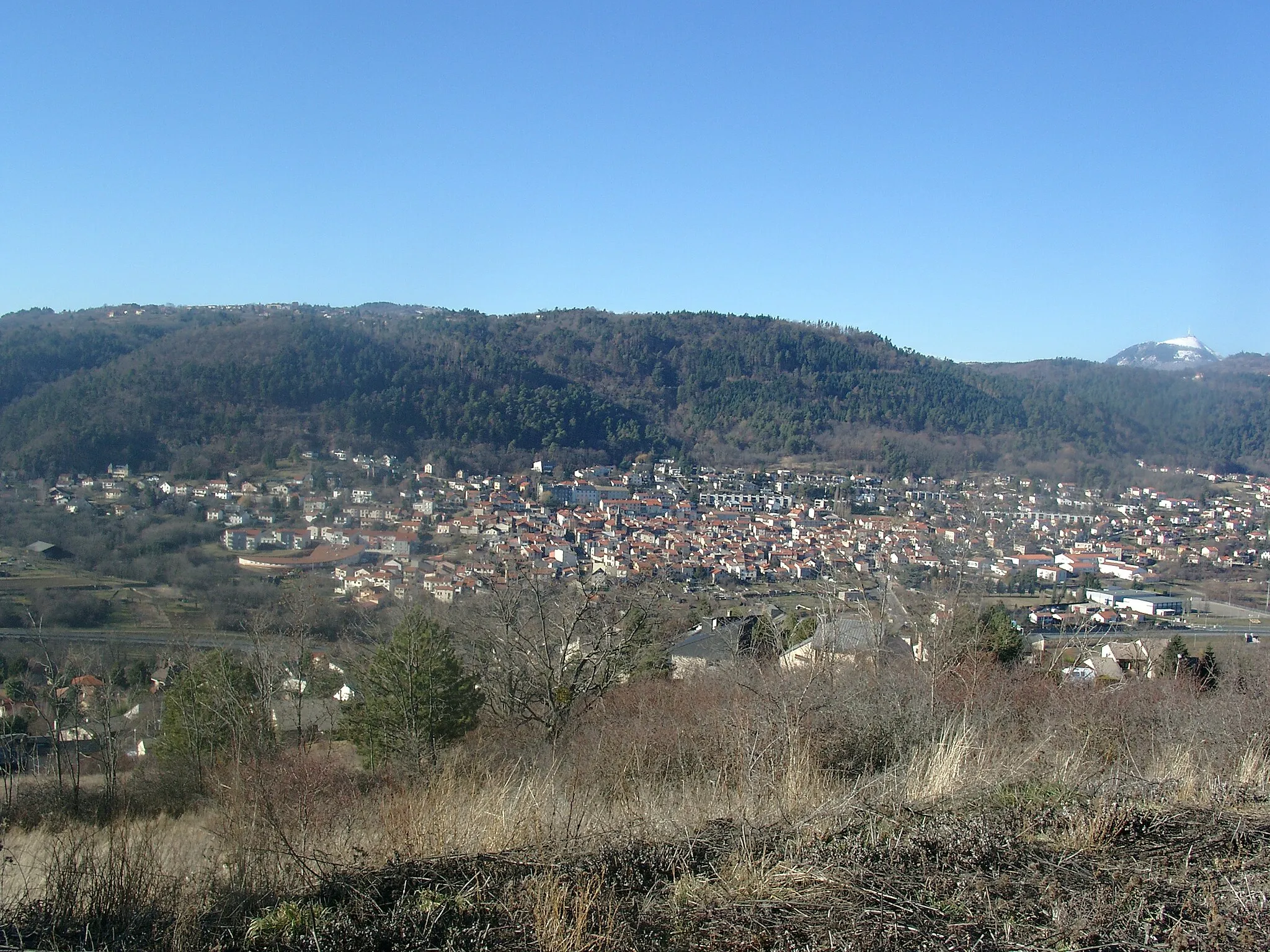
MurolVillageTake a detour to Murol and explore its medieval castle, offering panoramic views of the surrounding area.
103 km
103 km
Col de la Ventouse964 mMountain PassChallenge yourself with the ascent of Col de la Ventouse, a high-altitude pass known for its challenging gradients and stunning views.
110 km
110 km
Saint-Genès-ChampanelleVillagePass through the picturesque village of Saint-Genès-Champanelle and admire its historic buildings and charming atmosphere.
119 km
119 km
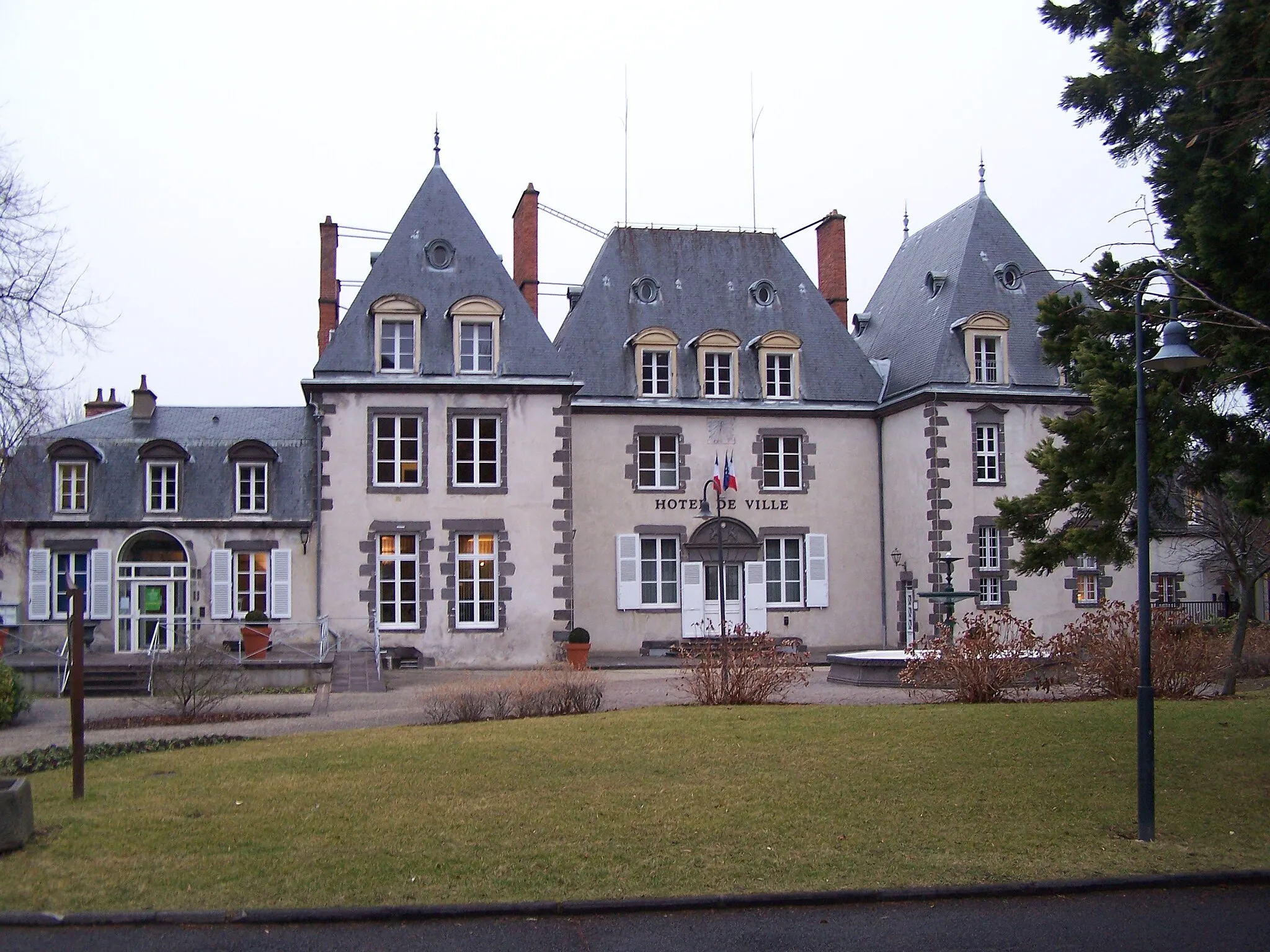
RoyatVillageStop by Royat, a historic town known for its thermal baths and beautiful architecture.
119 km
119 km
Puy de Chateix592 mPeakDiscover the hidden gem of Puy de Chateix and immerse yourself in its scenic beauty and tranquility.
121 km
121 km
Finish: Chamalières City centerChamalières: Chamalières offers stunning landscapes and renowned climb Puy de Dôme.
Cycling routes from Chamalieres:
Scenic Ride: Chamalières Countryside Chamalières Circuit Scenic Road Loop to Puy de Chanturgue Road to Sommet de la Tour Gravel Adventure to Puy de Montaudoux Auvergne Adventure: Puy de Montaudoux and Aydat Gravel Adventure: Chamalières Escape The Ultimate Chamalières Challenge Challenging Road Loop to Puy de la Poix Gravel Adventure: Around Chamalières
Cycling routes nearby: