Tallende countryside route
A gravel cycling route starting from Saint-Amant-Tallende
A scenic ride through the beautiful countryside near Tallende, featuring Les Martres-de-Veyre, Coudes, and Saint-Amant-Tallende.
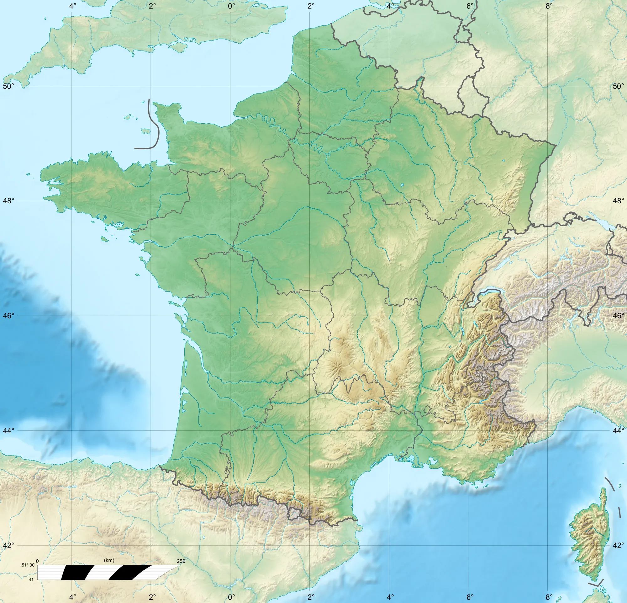
Map
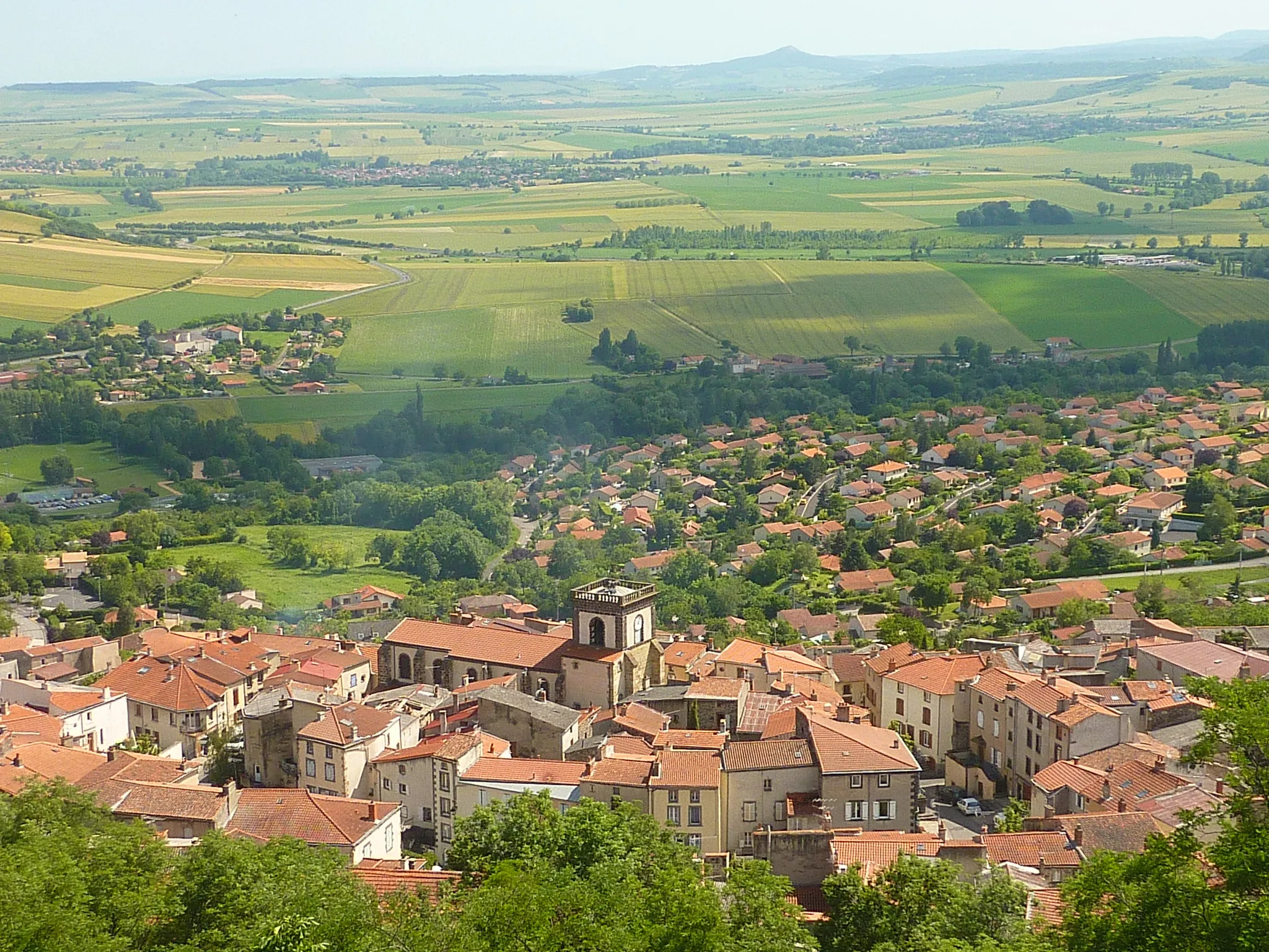
This picturesque route takes you through the breathtaking countryside near Tallende, showcasing the natural beauty of the area. Passing through Les Martres-de-Veyre, you'll encounter charming traditional houses and quaint streets. Coudes, another highlight of the route, offers stunning views of the valley below. Finally, you'll return to Saint-Amant-Tallende, where you can admire the medieval architecture and enjoy the peaceful atmosphere. With moderate difficulty, this gravel route is perfect for cyclists looking to relax and immerse themselves in nature.
gravel
35 km
533 m
Chill
Route profile
Highlights on the route
0 km
0 km
Start: Saint-Amant-Tallende Village centerSaint-Amant-Tallende: Experience the thrill of climbing famous routes in Saint-Amant-Tallende.
Saint-Amant-Tallende in Auvergne, France, offers a satisfactory cycling experience. The roads are generally in good condition, allowing for smooth rides. The terrain is hilly, providing opportunities for both challenging climbs and enjoyable descents. One notable cycling spot in the area is the Col de la Croix-Morand, a famous climb featured in the Tour de France. While not a renowned cycling hub, Saint-Amant-Tallende offers varied terrain and access to well-known climbs for cyclists seeking a decent cycling destination.1 km
1 km
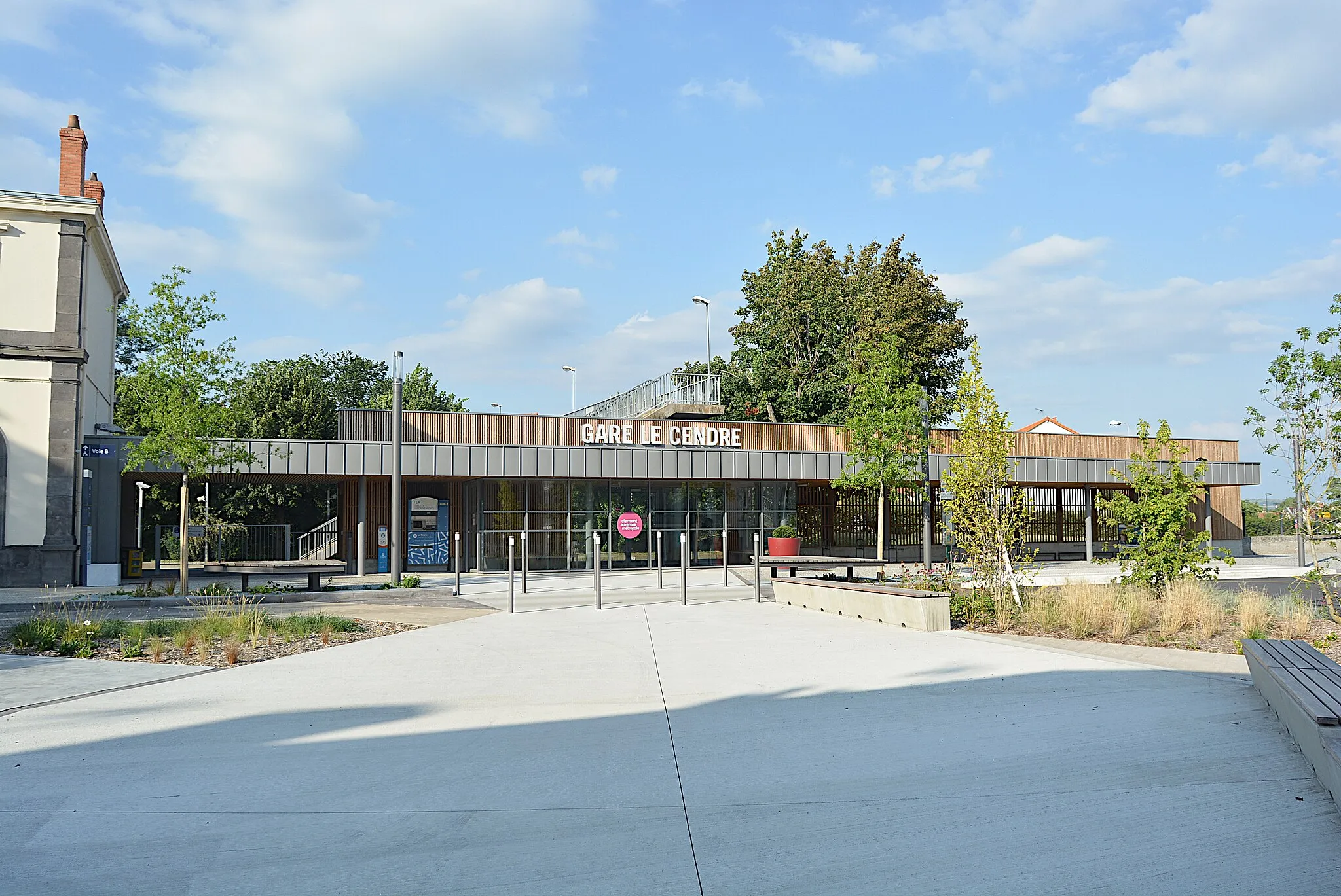
TallendeVillage7 km
7 km
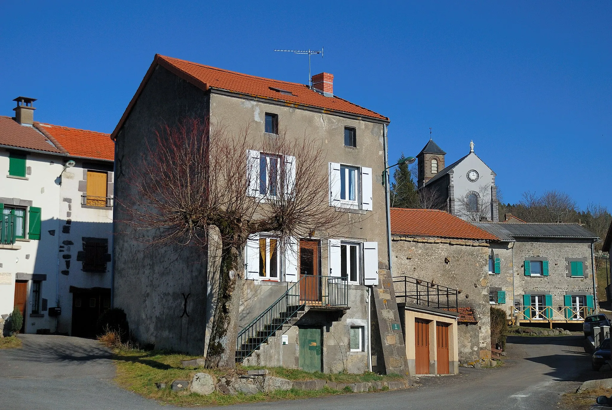
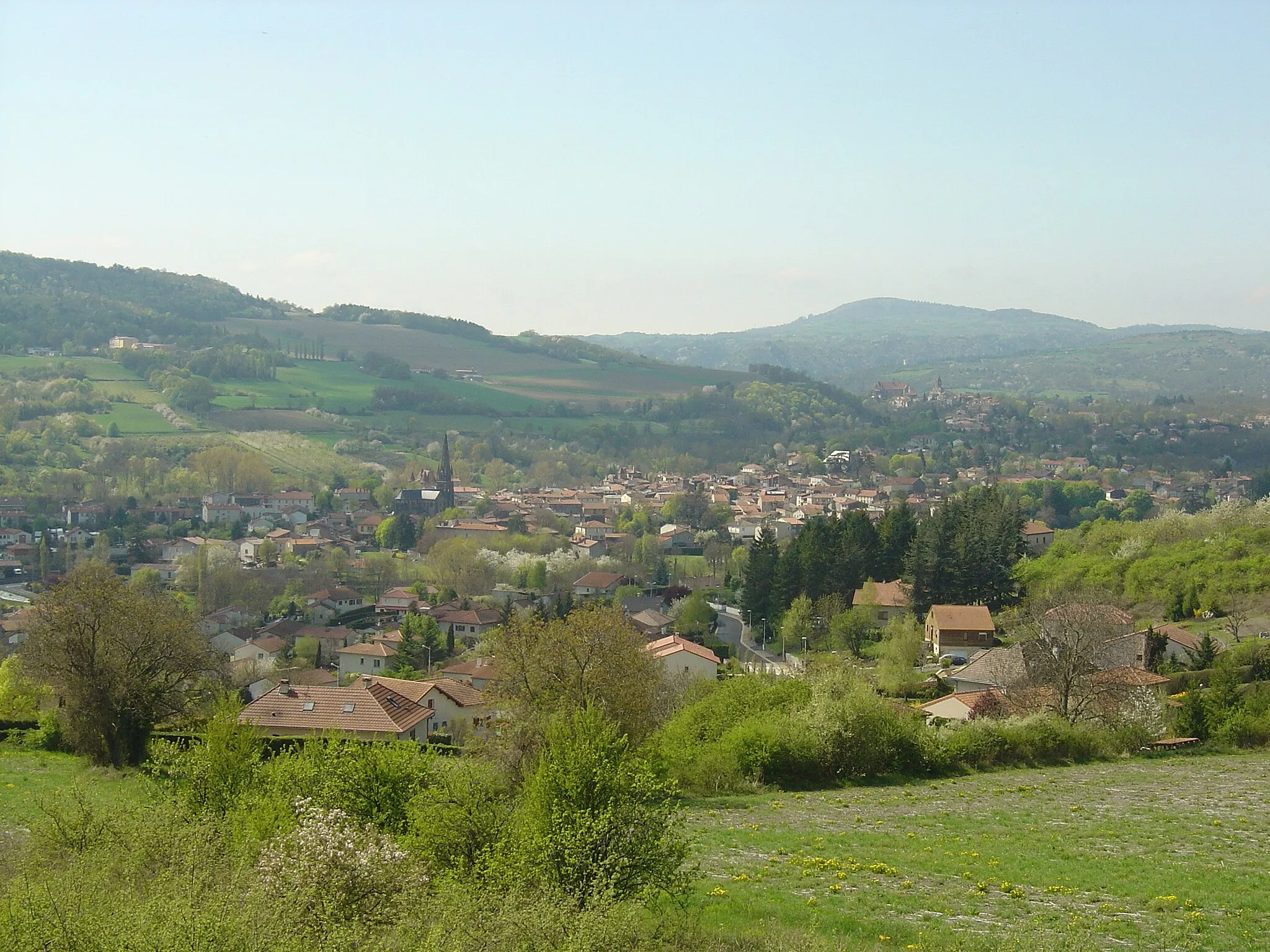
Les Martres-de-VeyreVillageLes Martres-de-Veyre, a village known for its beautiful traditional houses.
22 km
22 km
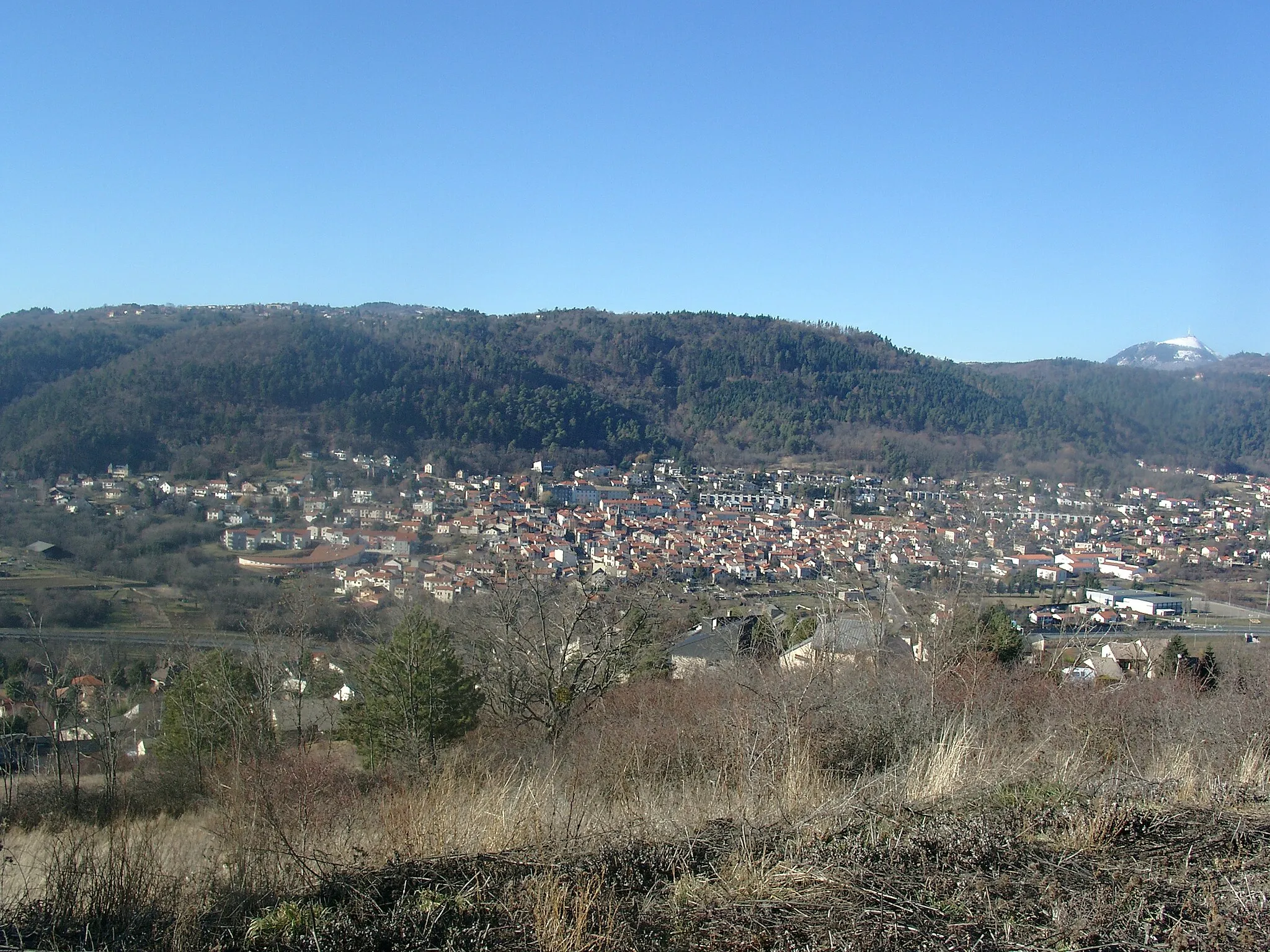
CoudesVillageCoudes, offering breathtaking views of the surrounding valleys.
35 km
35 km
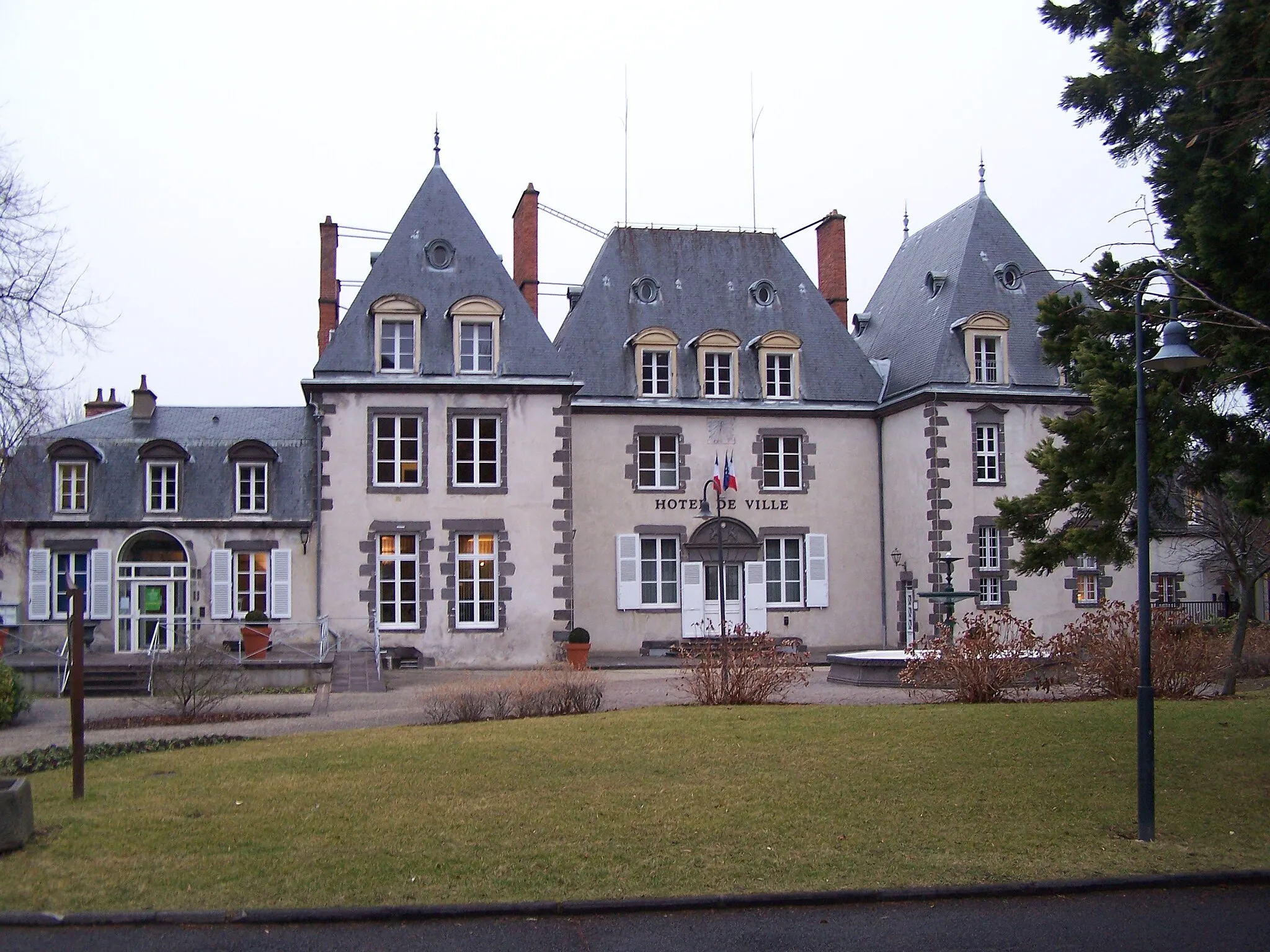
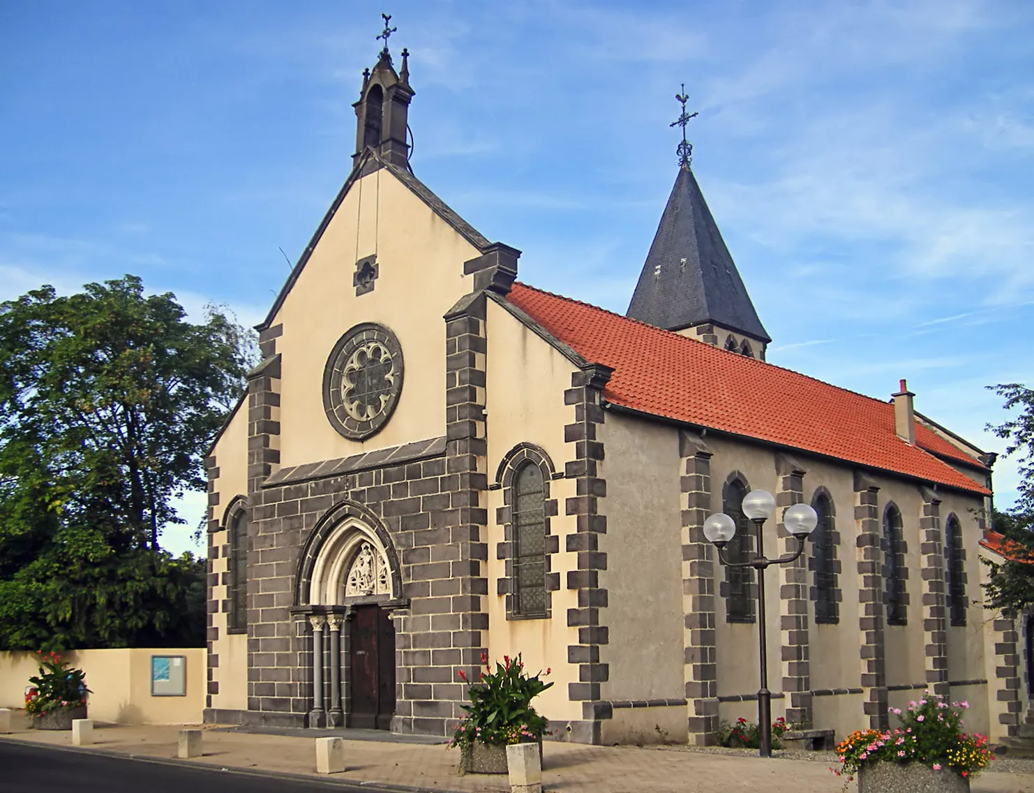
Saint-Amant-TallendeVillageSaint-Amant-Tallende, a charming village with medieval architecture.
35 km
35 km
Finish: Saint-Amant-Tallende Village centerSaint-Amant-Tallende: Experience the thrill of climbing famous routes in Saint-Amant-Tallende.
Cycling routes nearby: