Mont Redon Gravel Loop
A gravel cycling route starting from Saint-Amant-Tallende
A challenging gravel loop with stunning views of Mont Redon
Map
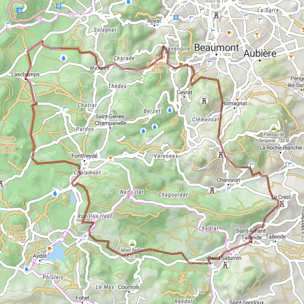
Explore the rugged beauty of the Auvergne region on this challenging gravel loop. With a total ascent of 1233 meters and a distance of 49 kilometers, this route will take you through scenic landscapes and offer breathtaking views of Mont Redon. This route is suitable for experienced cyclists who enjoy off-road adventures.
gravel
49 km
1233 m
Tough
Route profile
Highlights on the route
0 km
0 km
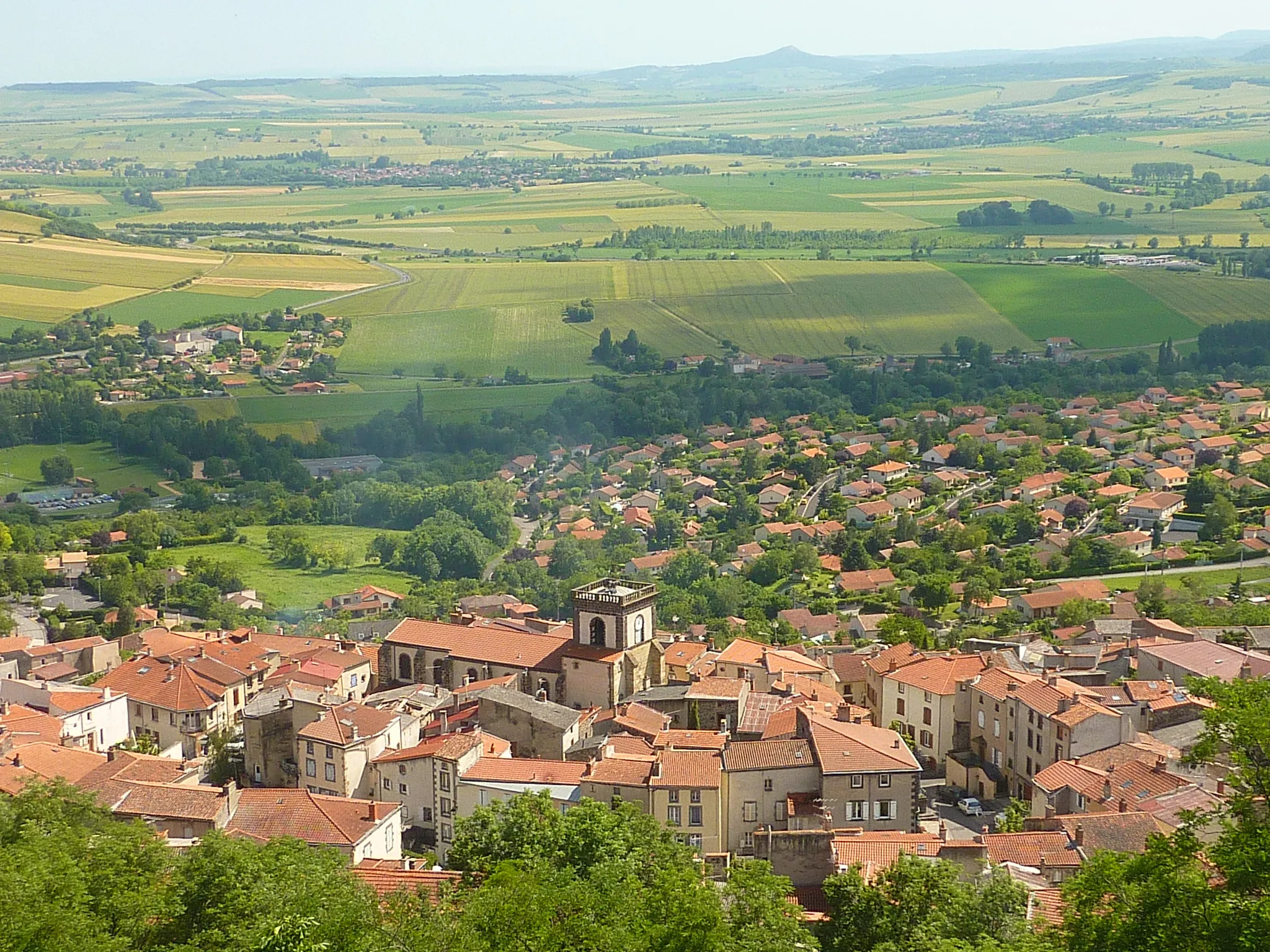
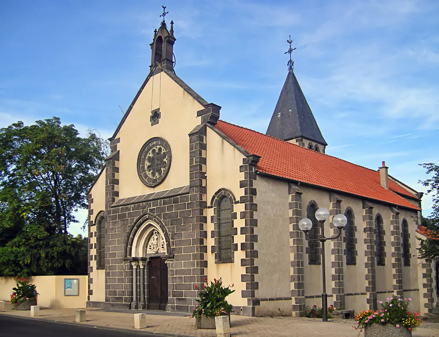
Start: Saint-Amant-Tallende Village centerSaint-Amant-Tallende: Experience the thrill of climbing famous routes in Saint-Amant-Tallende.
Saint-Amant-Tallende in Auvergne, France, offers a satisfactory cycling experience. The roads are generally in good condition, allowing for smooth rides. The terrain is hilly, providing opportunities for both challenging climbs and enjoyable descents. One notable cycling spot in the area is the Col de la Croix-Morand, a famous climb featured in the Tour de France. While not a renowned cycling hub, Saint-Amant-Tallende offers varied terrain and access to well-known climbs for cyclists seeking a decent cycling destination.7 km
7 km
Mont Redon872 mPeakMarvel at the panoramic views of Mont Redon as you ride through the rugged terrain.
8 km
8 km
PonteixHamletStop by Ponteix for a break and enjoy the charming village atmosphere.
18 km
18 km
Puy de la Vache1167 mVolcanoReach the summit of Puy de la Vache and revel in the stunning views of the surrounding landscape.
27 km
27 km
Puy de Montrodeix915 mPeakFeel the satisfaction of conquering Puy de Montrodeix, a challenging climb with rewarding views.
39 km
39 km
Montrognon699 mPeakExperience the natural beauty of Montrognon, a picturesque spot along the route.
46 km
46 km
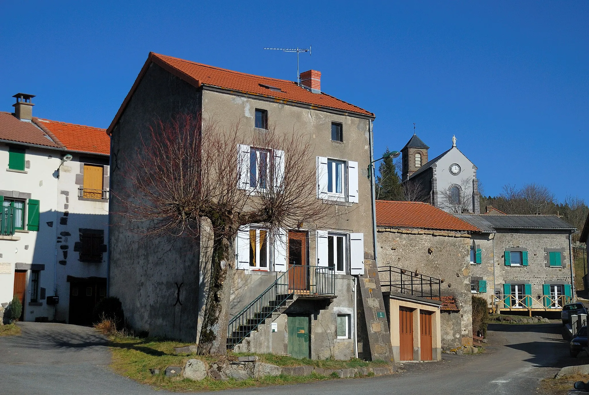
Le CrestVillageVisit Le Crest, a historic village known for its charming architecture and medieval atmosphere.
49 km
49 km
Finish: Saint-Amant-Tallende Village centerSaint-Amant-Tallende: Experience the thrill of climbing famous routes in Saint-Amant-Tallende.
Cycling routes nearby: