The Gravel Adventure
A gravel cycling route starting from Thiers
Embark on a thrilling gravel adventure through the forests of Auvergne.
Map
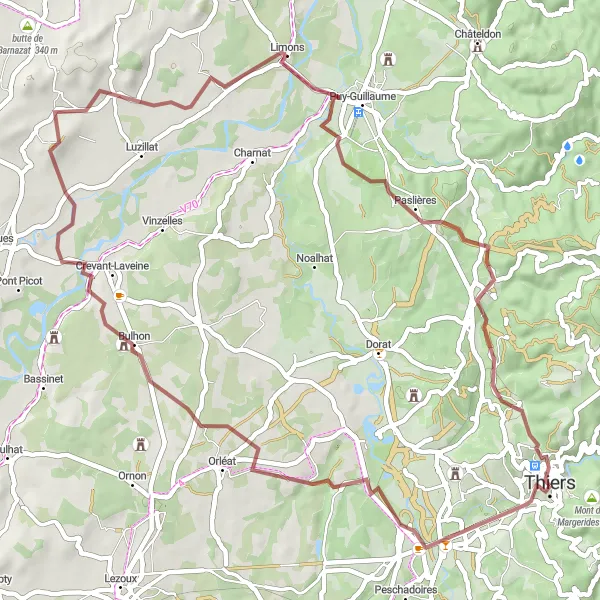
Experience the thrill of off-road cycling with this gravel route through the forests of Auvergne. With a total ascent of 661 meters and a distance of 56 kilometers, this route is suitable for cyclists of all levels. The epicness of this route is rated 3 out of 5, as it offers a unique and adventurous experience in the rugged countryside. Don't miss the highlights along the way, including the stunning Table d'orientation and the picturesque Château de Franc-Séjour. Each highlight is scored based on its attractiveness, ensuring you make the most of your gravel adventure.
gravel
56 km
661 m
Tough
Route profile
Highlights on the route
0 km
0 km
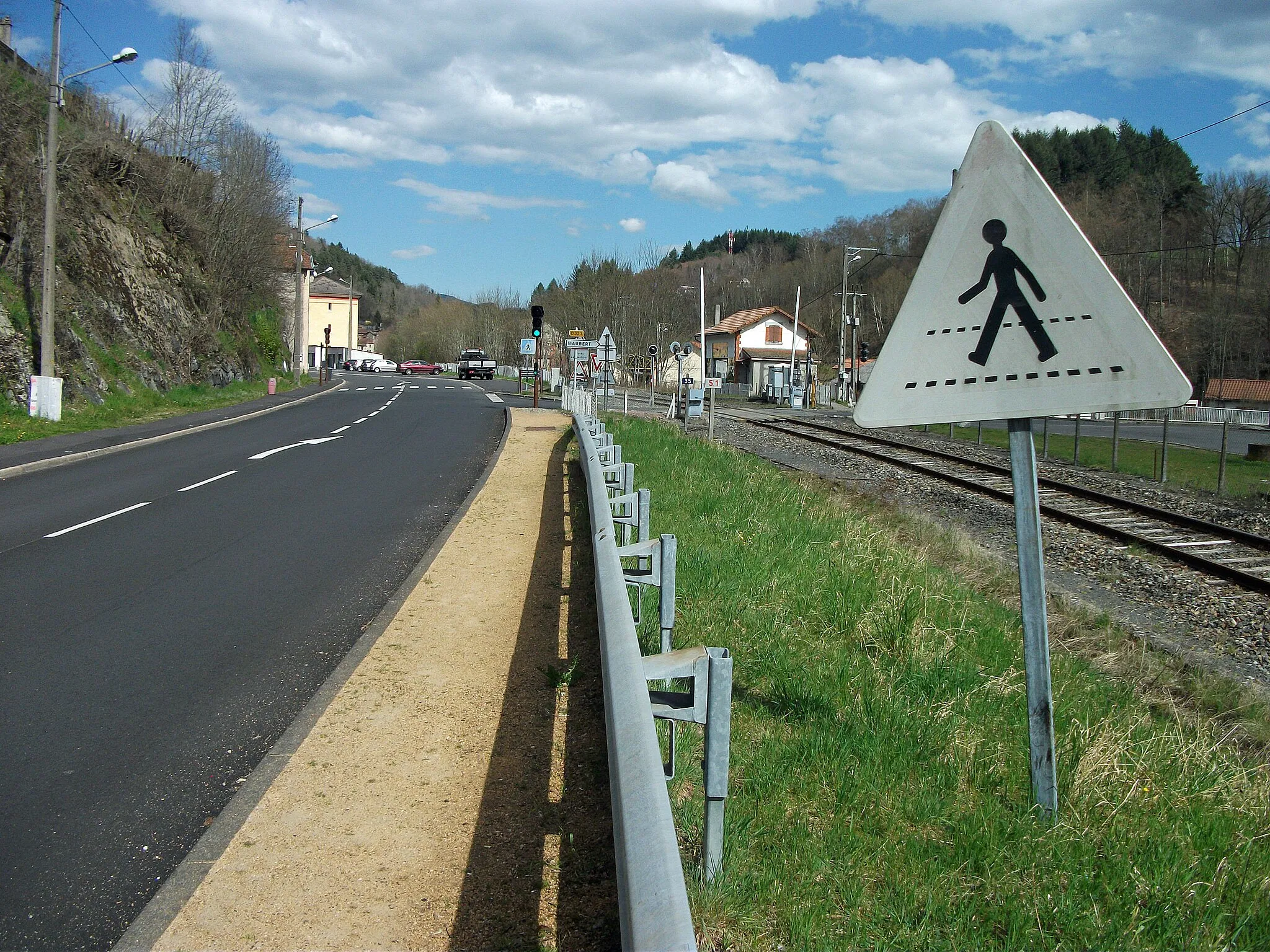
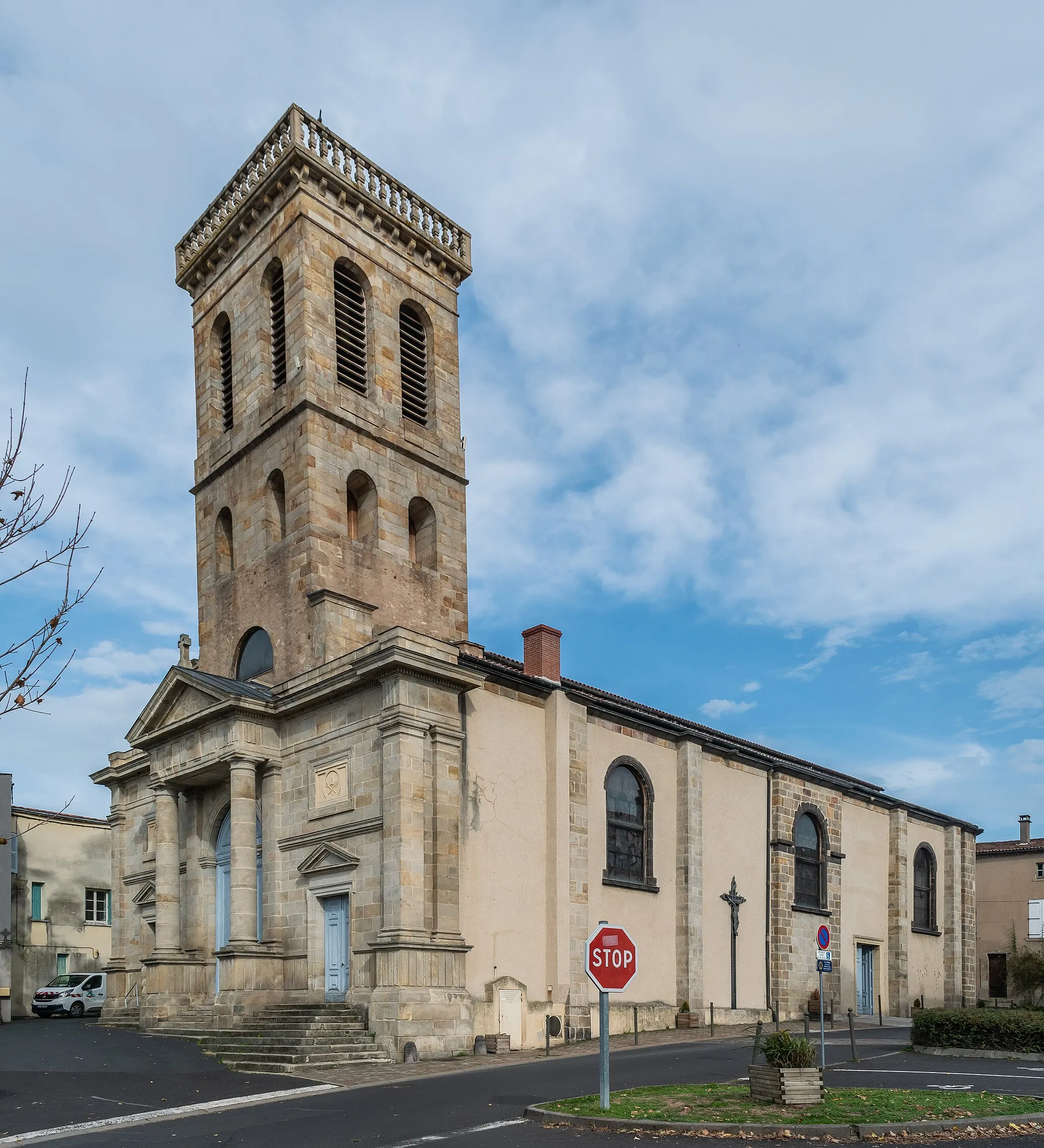
Start: Thiers City centerThiers: Conquering the hills of Auvergne
Thiers is a picturesque locality located in the Auvergne region of France. It offers a mix of challenging climbs and scenic routes for both road and gravel cyclists. The region's hilly landscape provides numerous opportunities for a challenging ride, including the Col de Béal. With its stunning scenery and quality cycling routes, Thiers ranks as a 4 in terms of cyclist friendliness and appeal.0 km
0 km
Table d'orientationViewpointAt the Table d'orientation, enjoy panoramic views of the surrounding forested hills, offering a glimpse of the natural beauty of Auvergne.
1 km
1 km
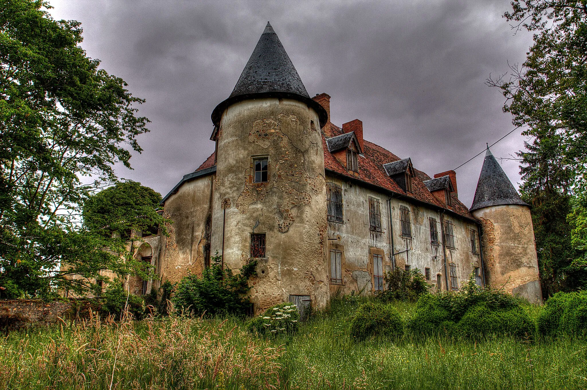
Château de Franc-SéjourCastleVisit the impressive Château de Franc-Séjour, a historic castle surrounded by lush greenery and offering a fascinating look into the region's past.
21 km
21 km
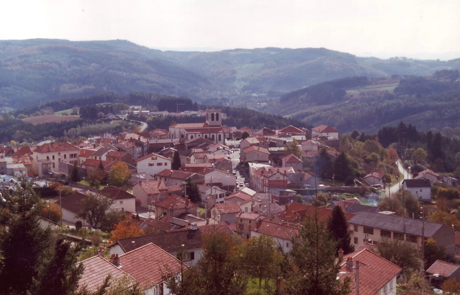
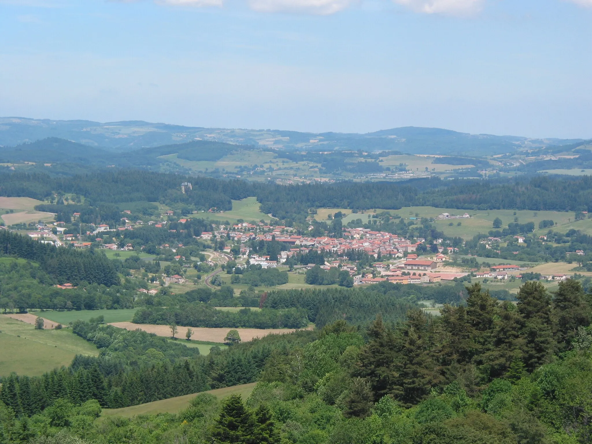
Crevant-LaveineVillagePass through the charming village of Crevant-Laveine, known for its picturesque countryside and traditional architecture.
36 km
36 km
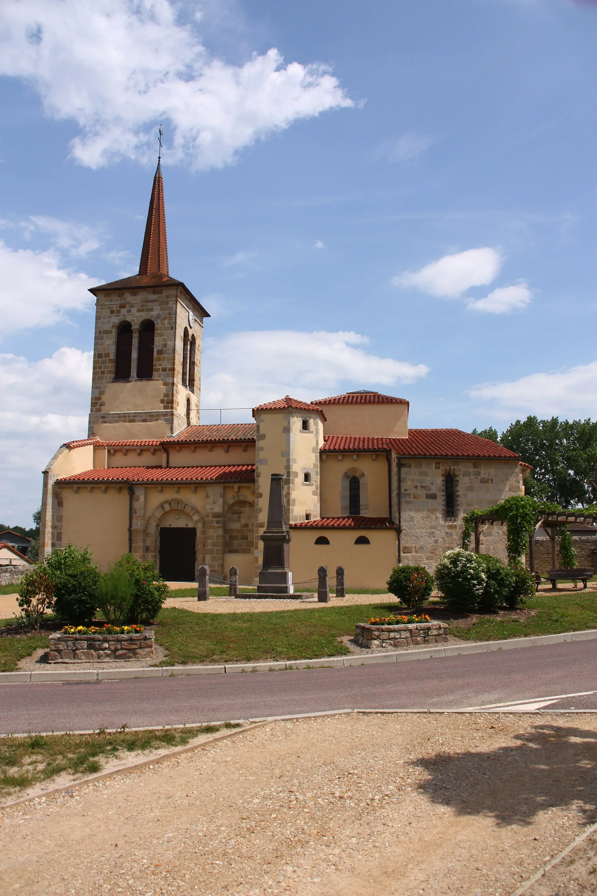
LimonsVillageCycle through the beautiful woodlands of Limons, where you can immerse yourself in the peaceful atmosphere of nature.
44 km
44 km
PaslièresVillagePause in Paslieres, a serene village nestled in the heart of nature, offering a tranquil escape from the bustling city life.
56 km
56 km
ThiersTownFinish your gravel adventure in Thiers, where you can explore the town's rich history and sample delicious local cuisine.
56 km
56 km
Finish: Thiers City centerThiers: Conquering the hills of Auvergne
Cycling routes nearby: