Gravel Experience
A gravel cycling route starting from Thiers
A thrilling gravel adventure through Thiers
Map
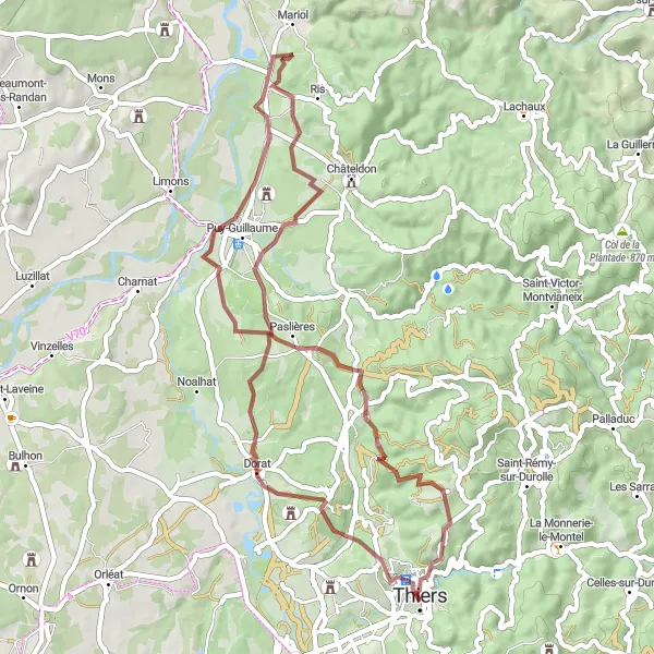
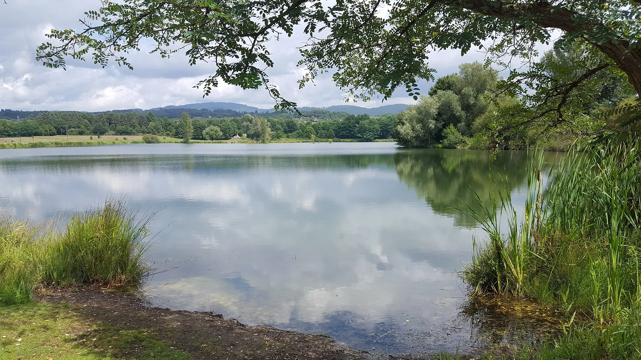
Embark on a thrilling gravel adventure starting from Thiers, exploring the scenic roads and unique landscapes of Auvergne. This route features a challenging ascent of 876 meters over a distance of 52 kilometers. Traverse stunning viewpoints, charming châteaux, and picturesque villages along the way.
gravel
52 km
876 m
Tough
Route profile
Highlights on the route
0 km
0 km
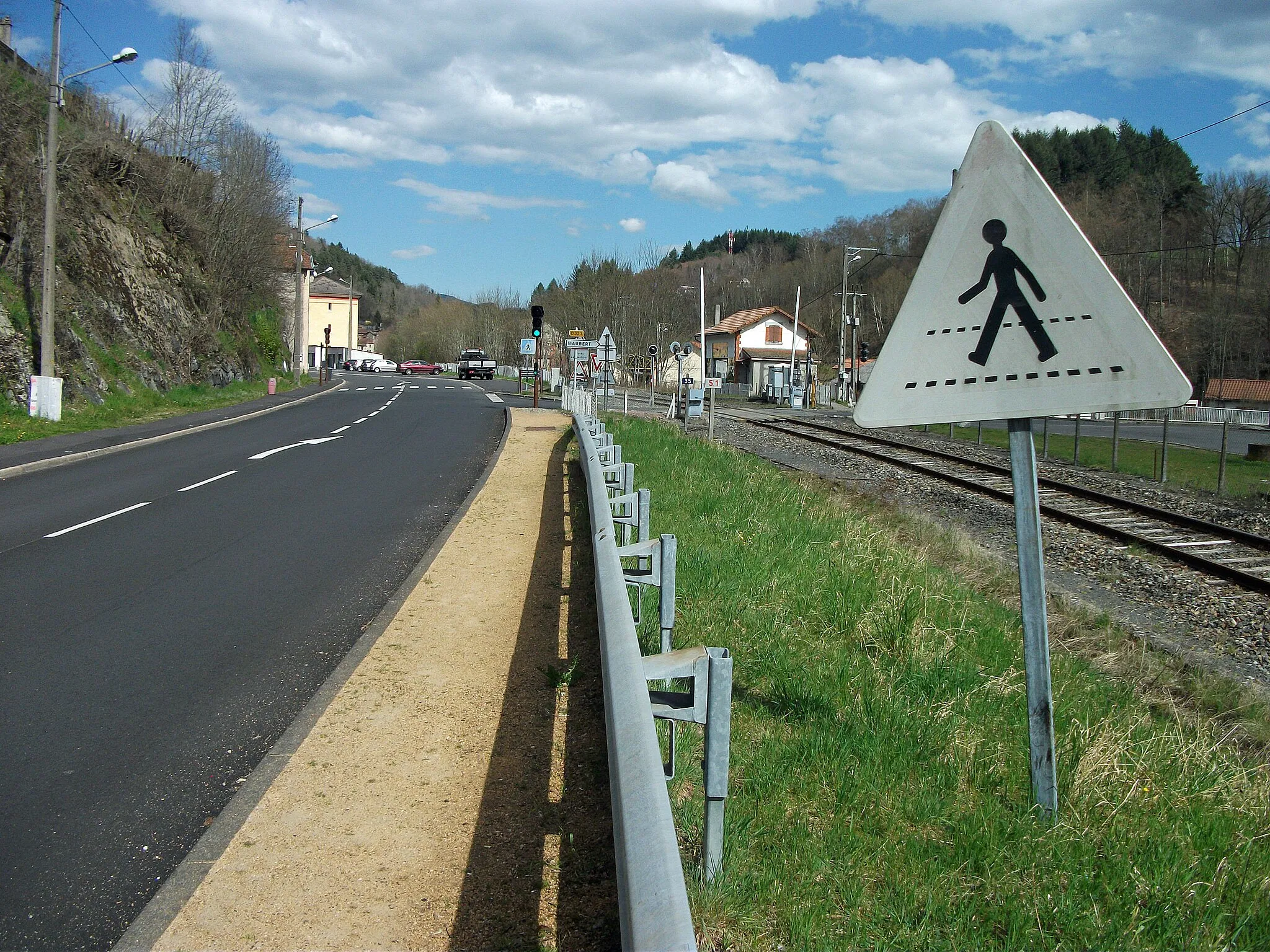
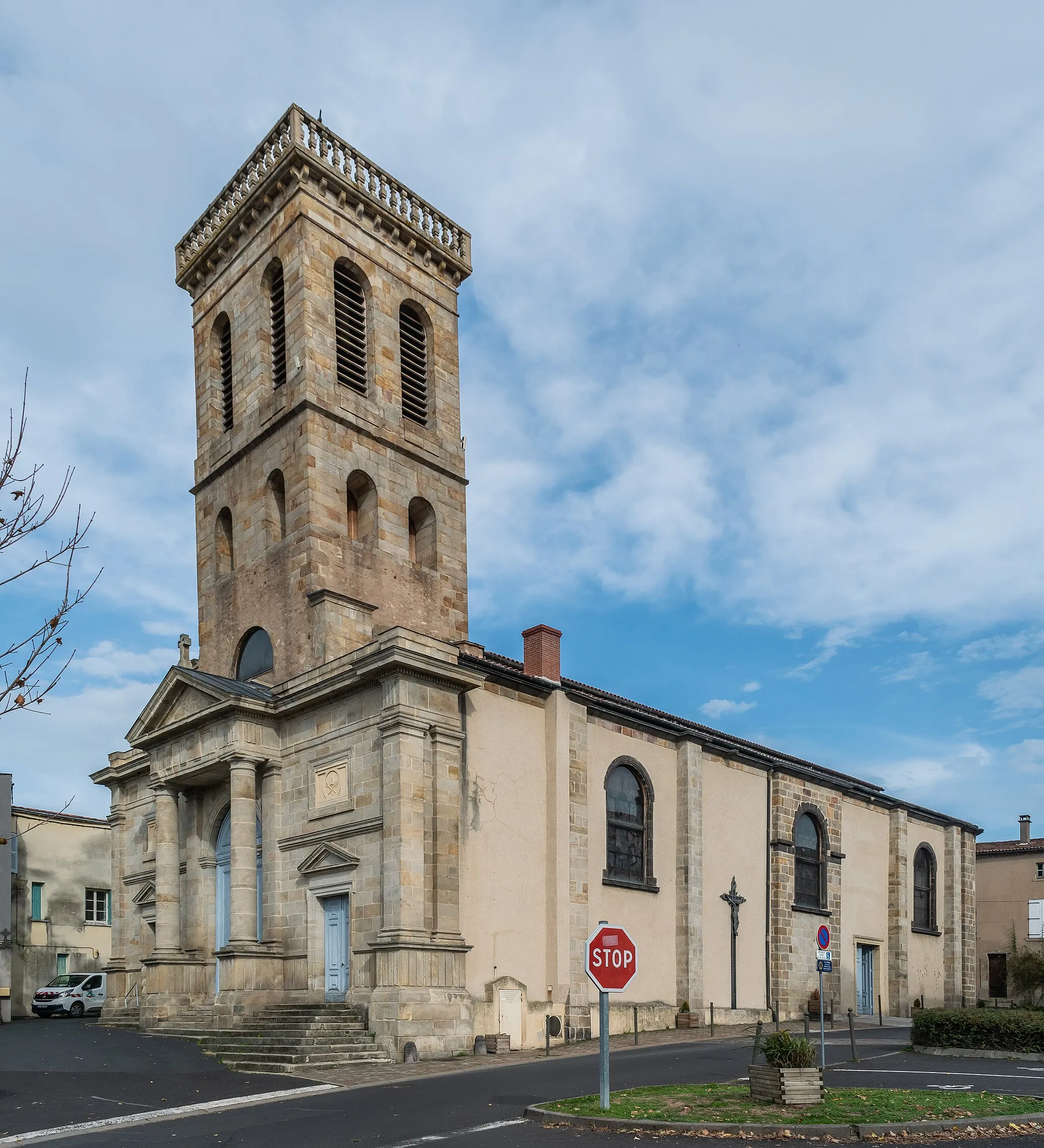
Start: Thiers City centerThiers: Conquering the hills of Auvergne
Thiers is a picturesque locality located in the Auvergne region of France. It offers a mix of challenging climbs and scenic routes for both road and gravel cyclists. The region's hilly landscape provides numerous opportunities for a challenging ride, including the Col de Béal. With its stunning scenery and quality cycling routes, Thiers ranks as a 4 in terms of cyclist friendliness and appeal.0 km
0 km
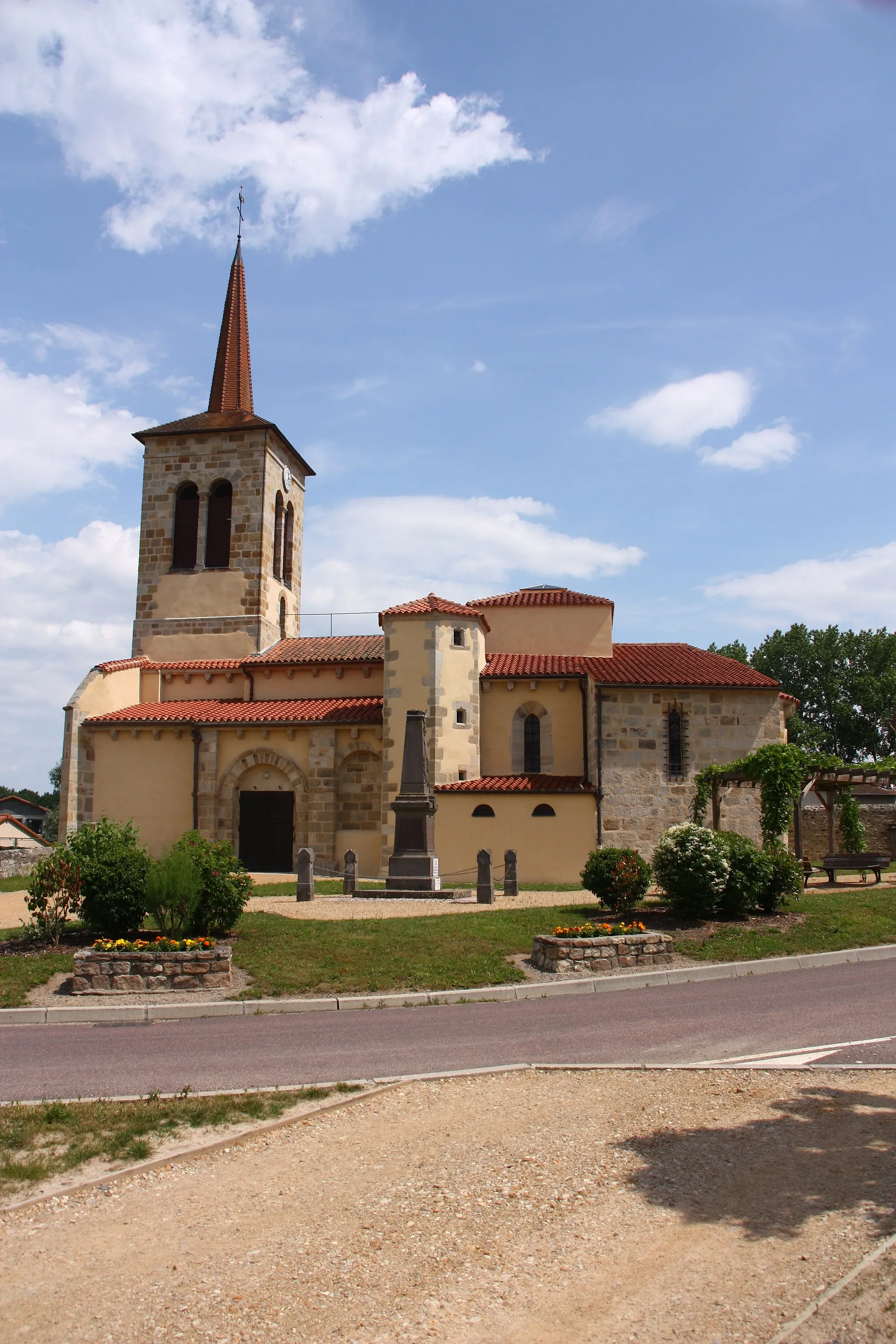
Table d'orientationViewpointExperience breathtaking views from the Table d'orientation lookout point.
1 km
1 km
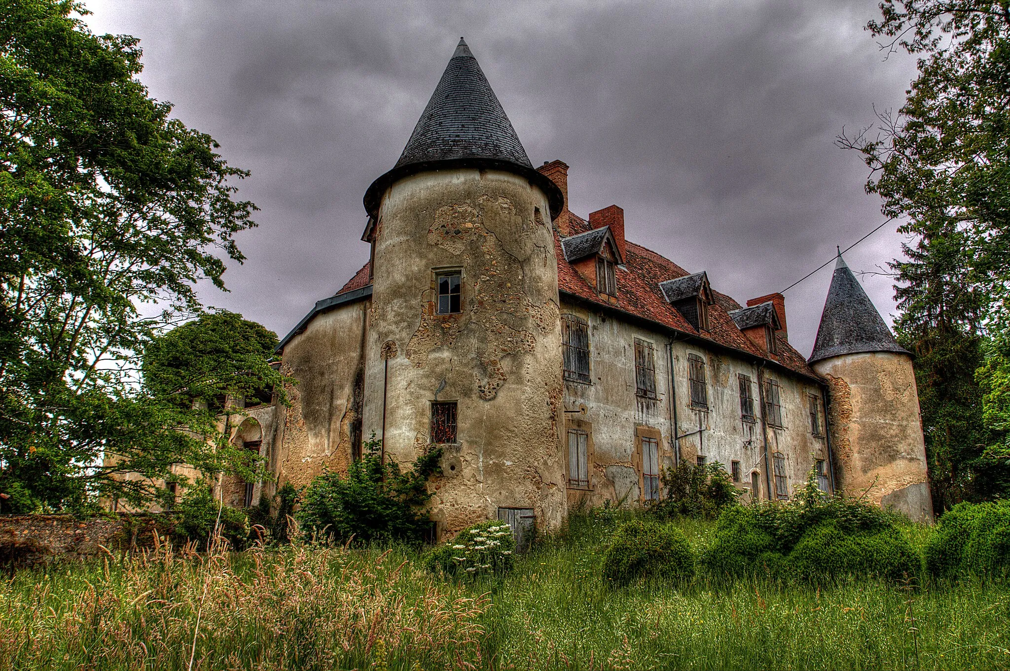
Château des ChampsCastleExplore the fascinating Château des Champs on the outskirts of Thiers.
6 km
6 km
Château de BaranteCastleVisit the impressive Château de Barante, known for its rich historical significance.
25 km
25 km
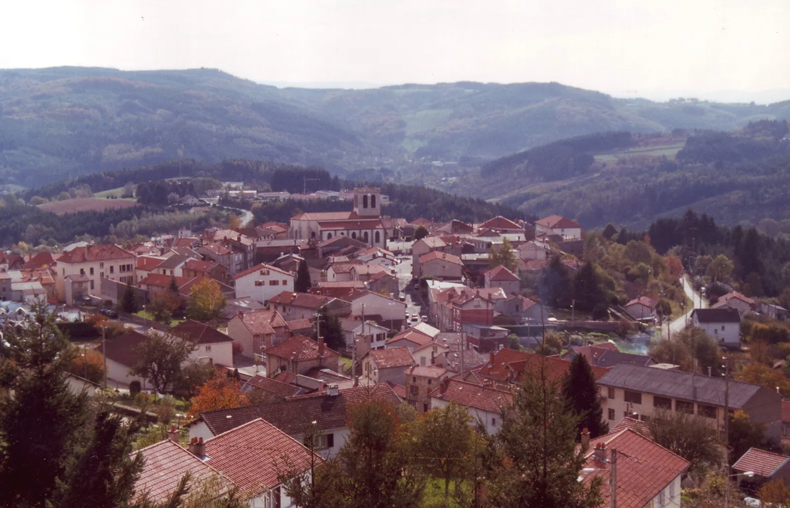
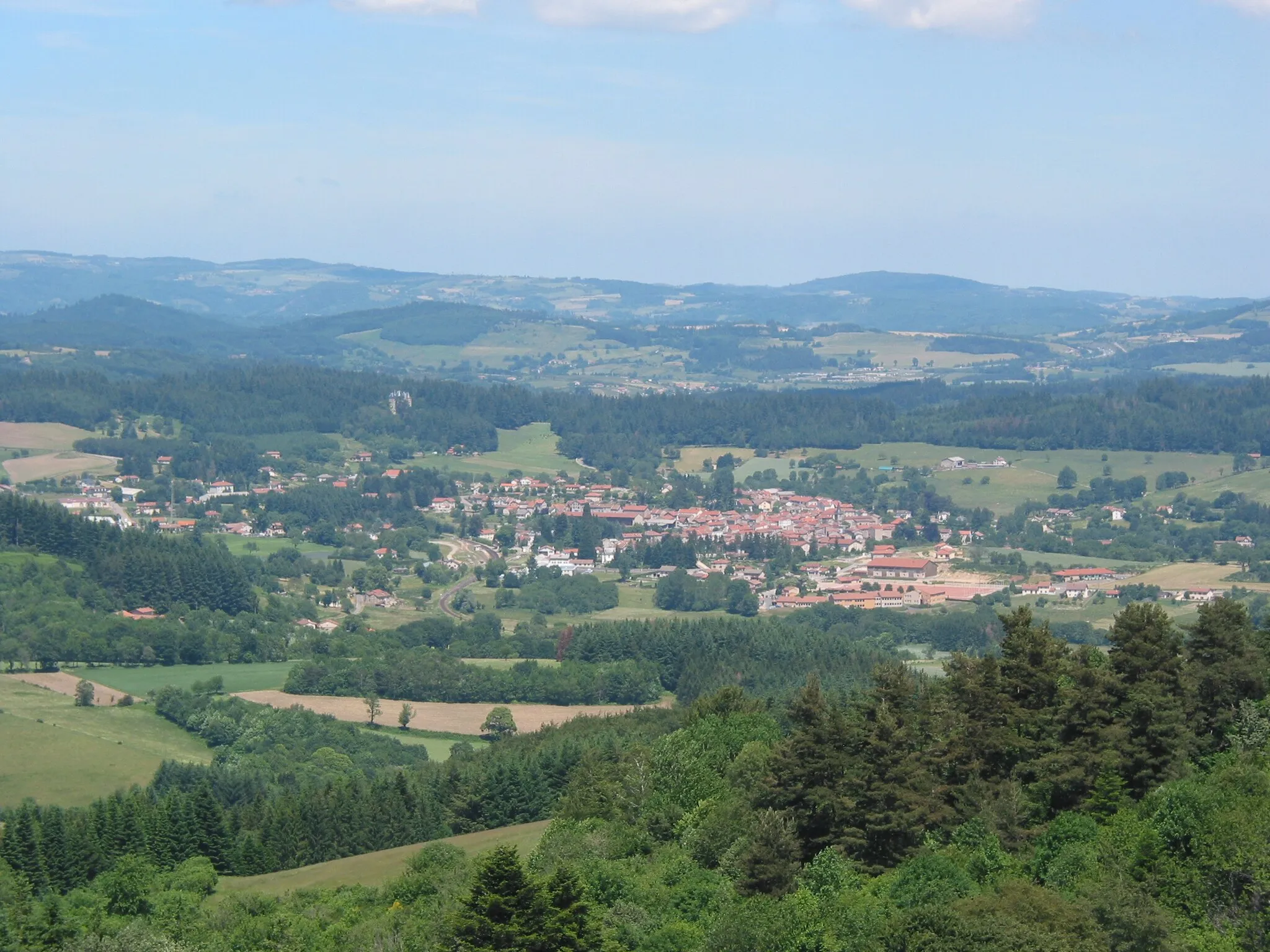
MariolVillageMake a stop at Mariol, a small village with charming architectural heritage.
31 km
31 km
Puy-GuillaumeVillageDiscover the beautiful town of Puy-Guillaume and its attractions.
38 km
38 km
PaslièresVillageDon't miss the scenic Paslières, known for its natural beauty and charm.
52 km
52 km
ThiersTownSpend some time exploring the vibrant town of Thiers, a hub of French cutlery craftsmanship.
52 km
52 km
Finish: Thiers City centerThiers: Conquering the hills of Auvergne
Cycling routes nearby: