Gorges and Plateaus Adventure
A gravel cycling route starting from Thiers
Experience the stunning gorges and picturesque plateaus near Thiers on this thrilling cycling route.
Map

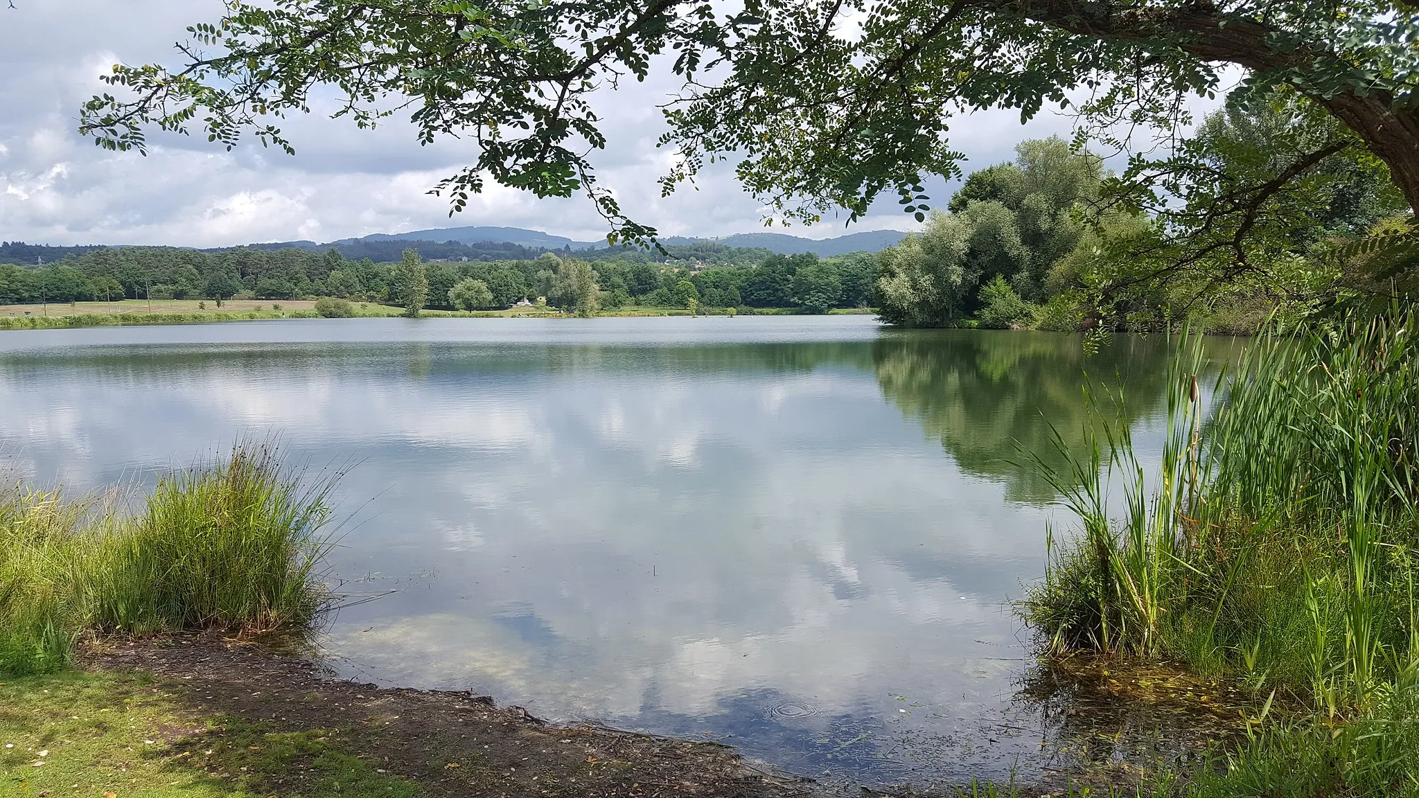
This cycling route near Thiers offers a unique adventure filled with breathtaking scenery. Travel through stunning gorges and across picturesque plateaus, providing a varied and exciting experience for cyclists. The distinctive landscape, coupled with the opportunity to explore beautiful highlights along the way, makes this route a must-try for all cycling enthusiasts.
gravel
83 km
1962 m
Tough
Route profile
Highlights on the route
0 km
0 km
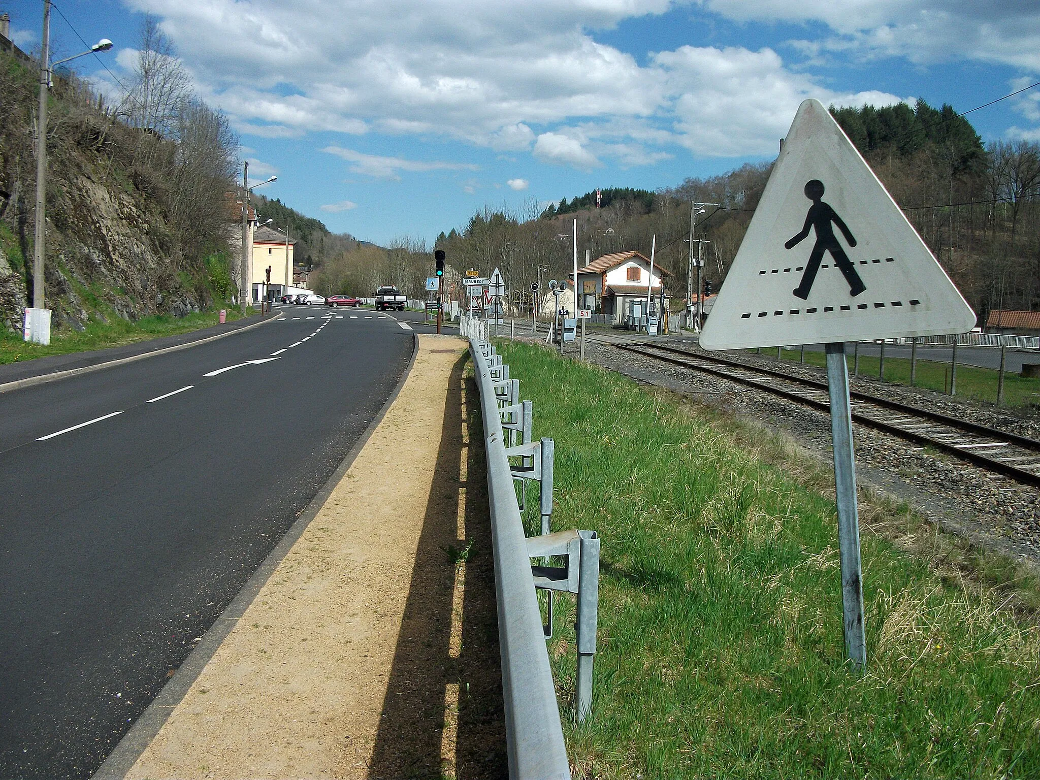
Start: Thiers City centerThiers: Conquering the hills of Auvergne
Thiers is a picturesque locality located in the Auvergne region of France. It offers a mix of challenging climbs and scenic routes for both road and gravel cyclists. The region's hilly landscape provides numerous opportunities for a challenging ride, including the Col de Béal. With its stunning scenery and quality cycling routes, Thiers ranks as a 4 in terms of cyclist friendliness and appeal.0 km
0 km
Table d'orientationViewpointEnjoy panoramic views of the region from the popular Table d'orientation lookout point.
1 km
1 km
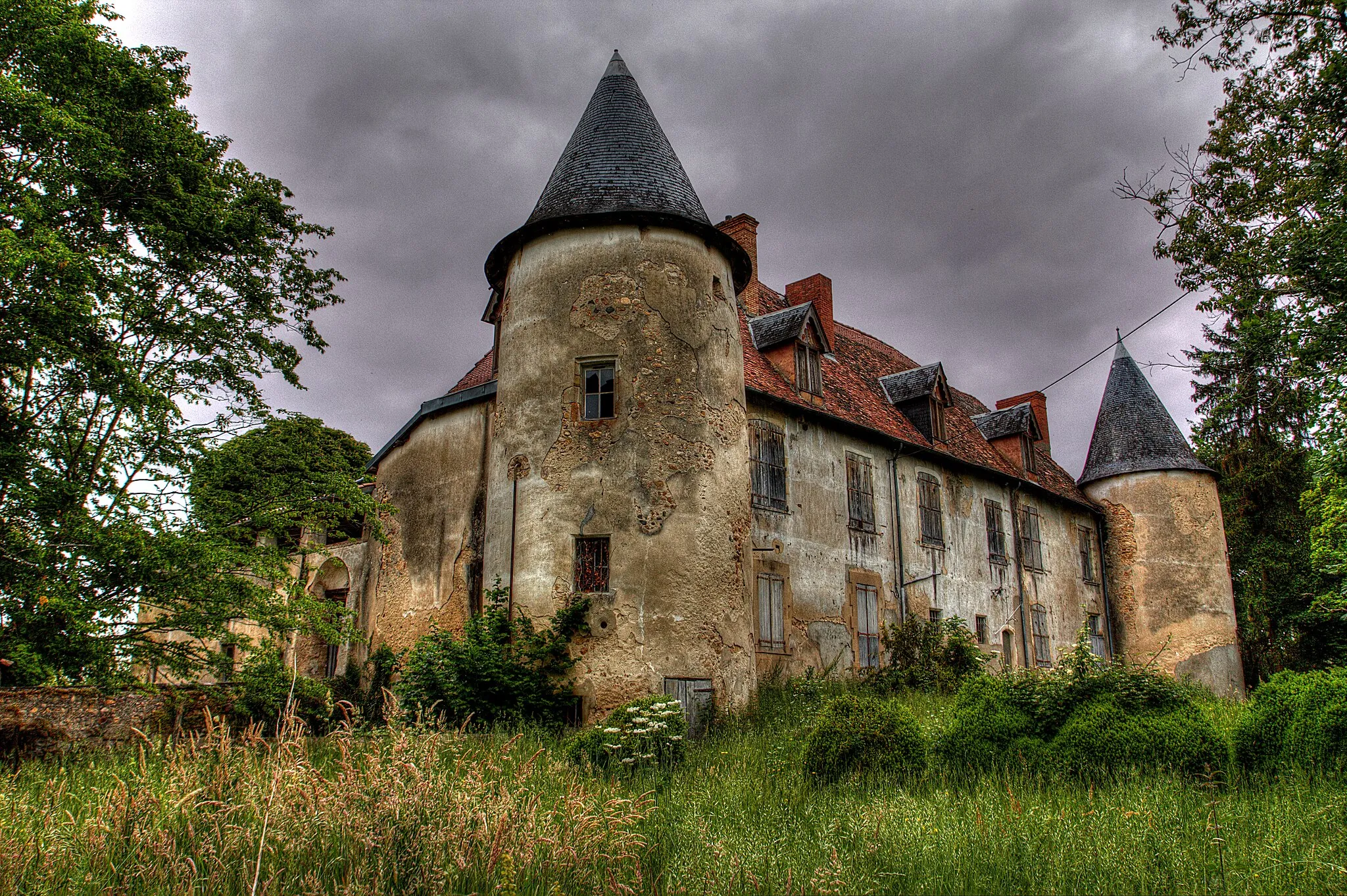
Château des ChampsCastle18 km
18 km
ChâteldonVillageDiscover the small village of Châteldon, known for its famous sparkling water.
32 km
32 km
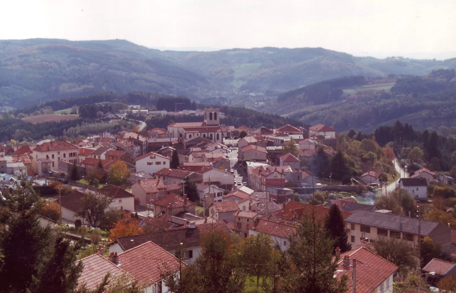
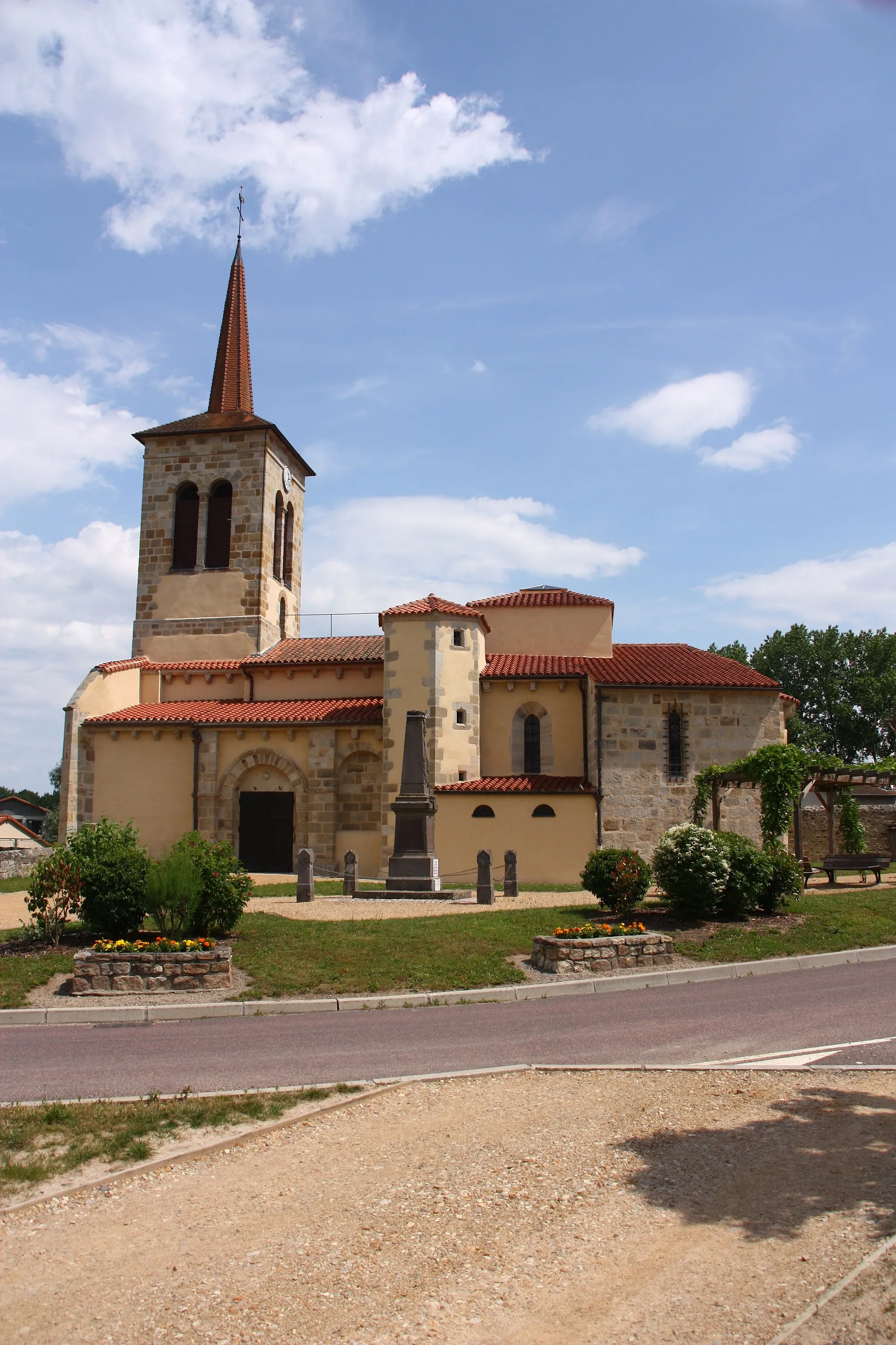
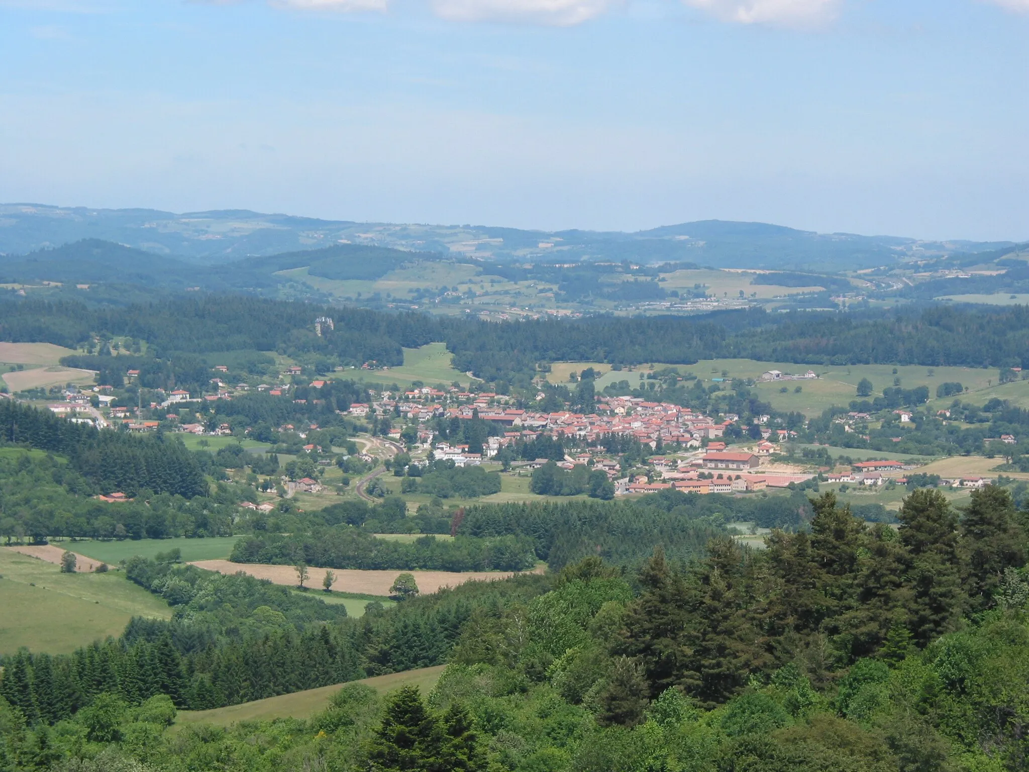
ArronnesVillageExplore Arronnes, a charming village known for its historic architecture.
45 km
45 km
Le Mayet-de-MontagneVillageVisit the scenic town of Le Mayet-de-Montagne, surrounded by lush green countryside.
59 km
59 km
Col du Beau Louis824 mMountain PassConquer the challenging Col du Beau Louis, a famous cycling climb in the region.
83 km
83 km
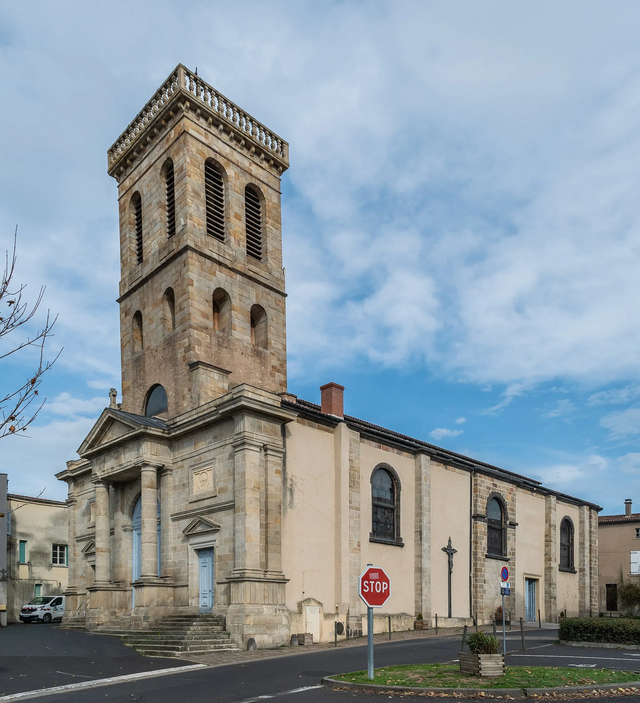
ThiersTownEnd your cycling journey in Thiers, a historic town renowned for its cutlery industry.
83 km
83 km
Finish: Thiers City centerThiers: Conquering the hills of Auvergne
Cycling routes nearby: