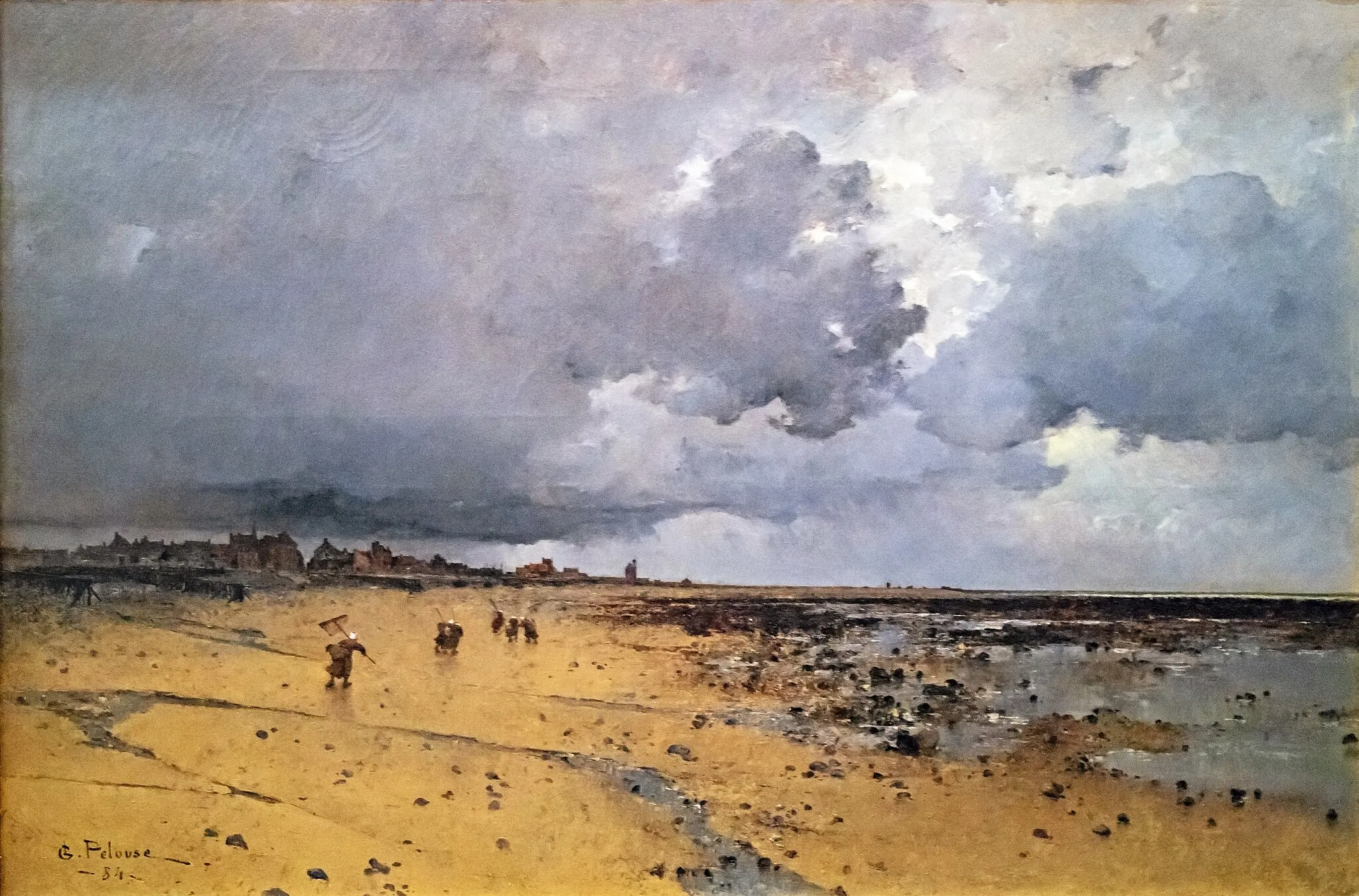
Gravel Escape
A gravel cycling route starting from Carentan
Escape from the city and immerse yourself in the serene landscapes near Carentan
Map

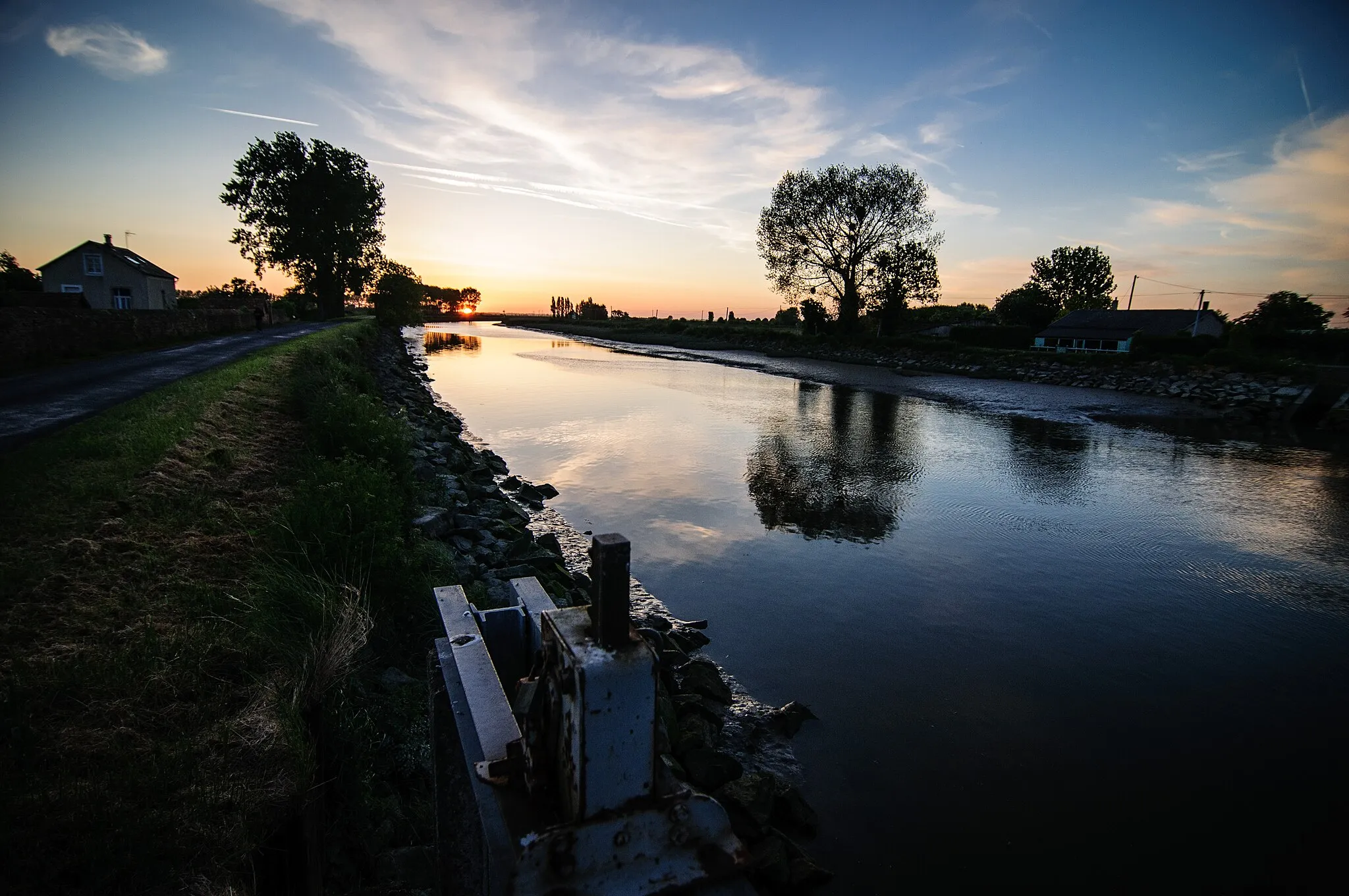
This gravel route takes you on a scenic journey through picturesque countryside and hidden gems near Carentan. Immerse yourself in the tranquility of nature and enjoy the serenity of the open gravel roads.
gravel
34 km
112 m
Tough
Route profile
Highlights on the route
0 km
0 km
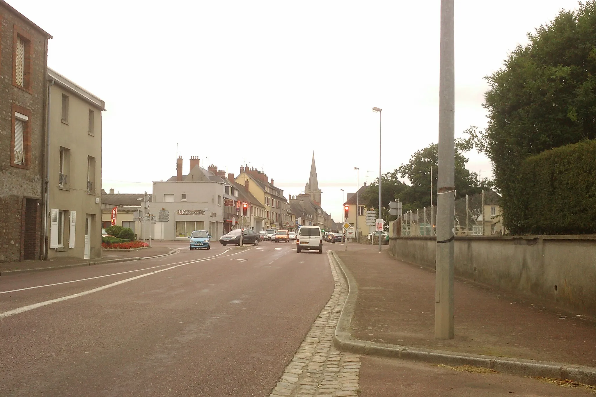
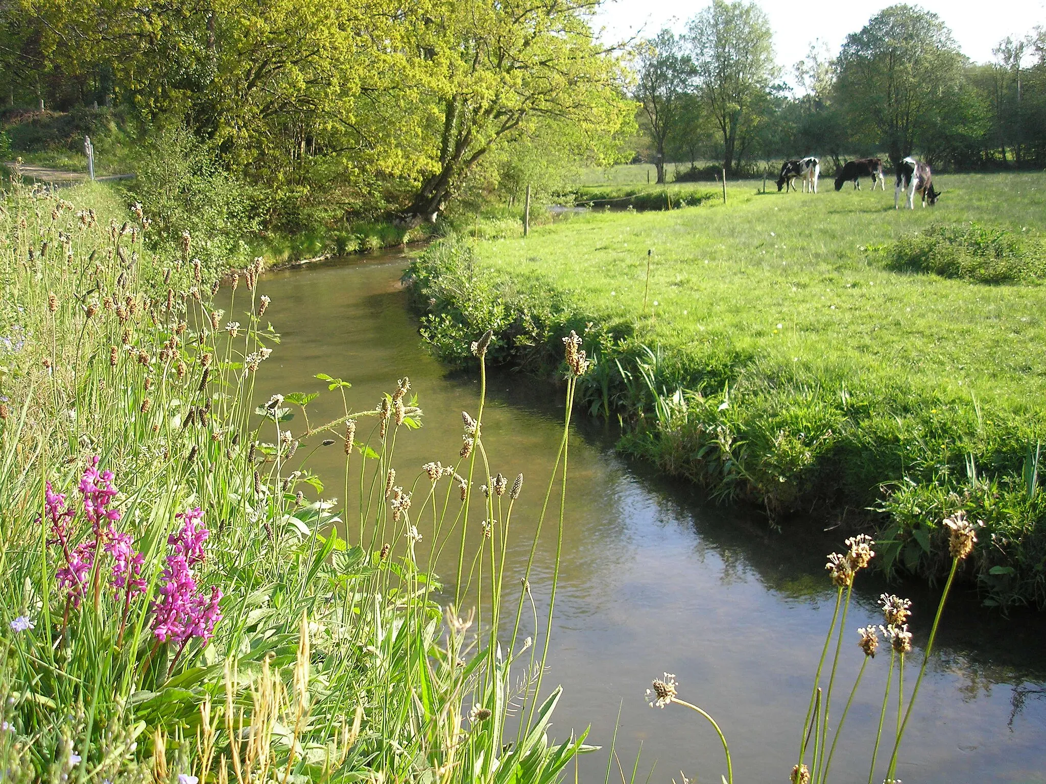
Start: Carentan City centerCarentan: Historical Significance and Diverse Landscapes
Carentan, located in Basse-Normandie, France, is a pleasant town for road and gravel cyclists. The region offers a variety of terrains, from flat stretches along the Normandy coastline to rolling landscapes dotted with picturesque villages and farmland. Carentan is well-known for its historical significance in World War II, and cycling enthusiasts can explore the famous D-Day landing sites and nearby museums. With its diverse landscapes and historical attractions, Carentan is a great destination for both cycling and tourism.0 km
0 km
CarentanTownStart your escape in Carentan, a charming town with a rich historical heritage.
15 km
15 km
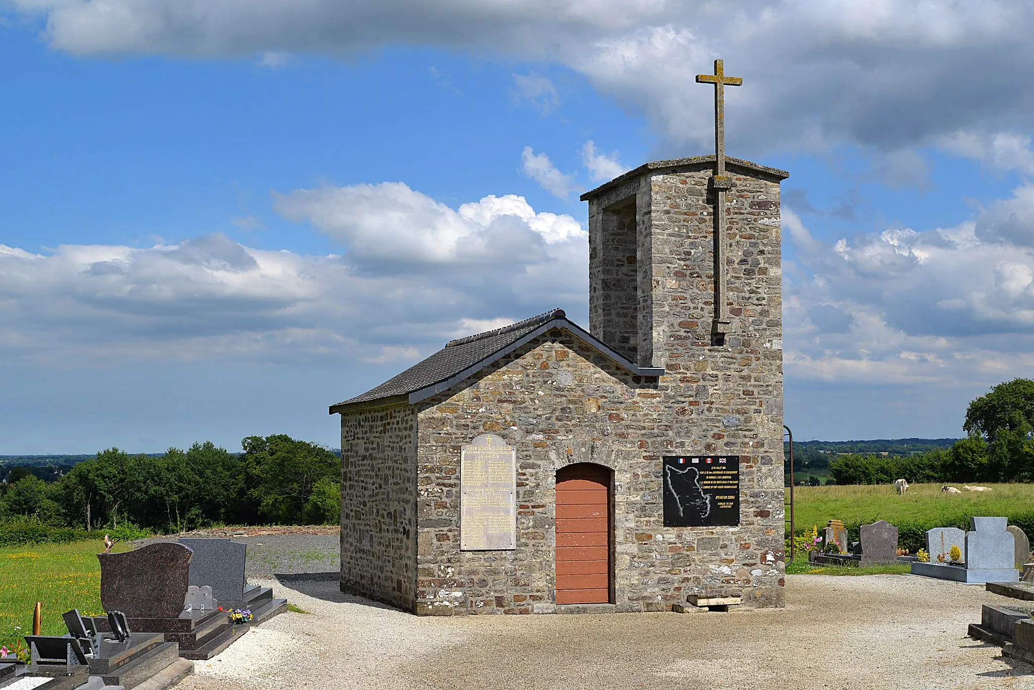
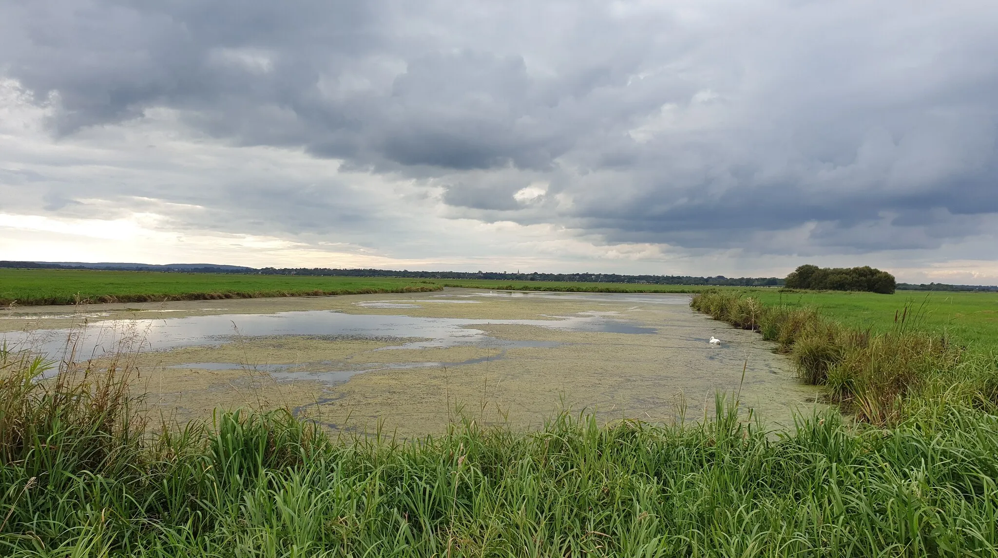
GorgesVillageExplore the stunning Gorges and witness the breathtaking views of the surrounding hills.
26 km
26 km
BaupteVillagePass through Baupte, a village known for its peaceful atmosphere and traditional architecture.
31 km
31 km
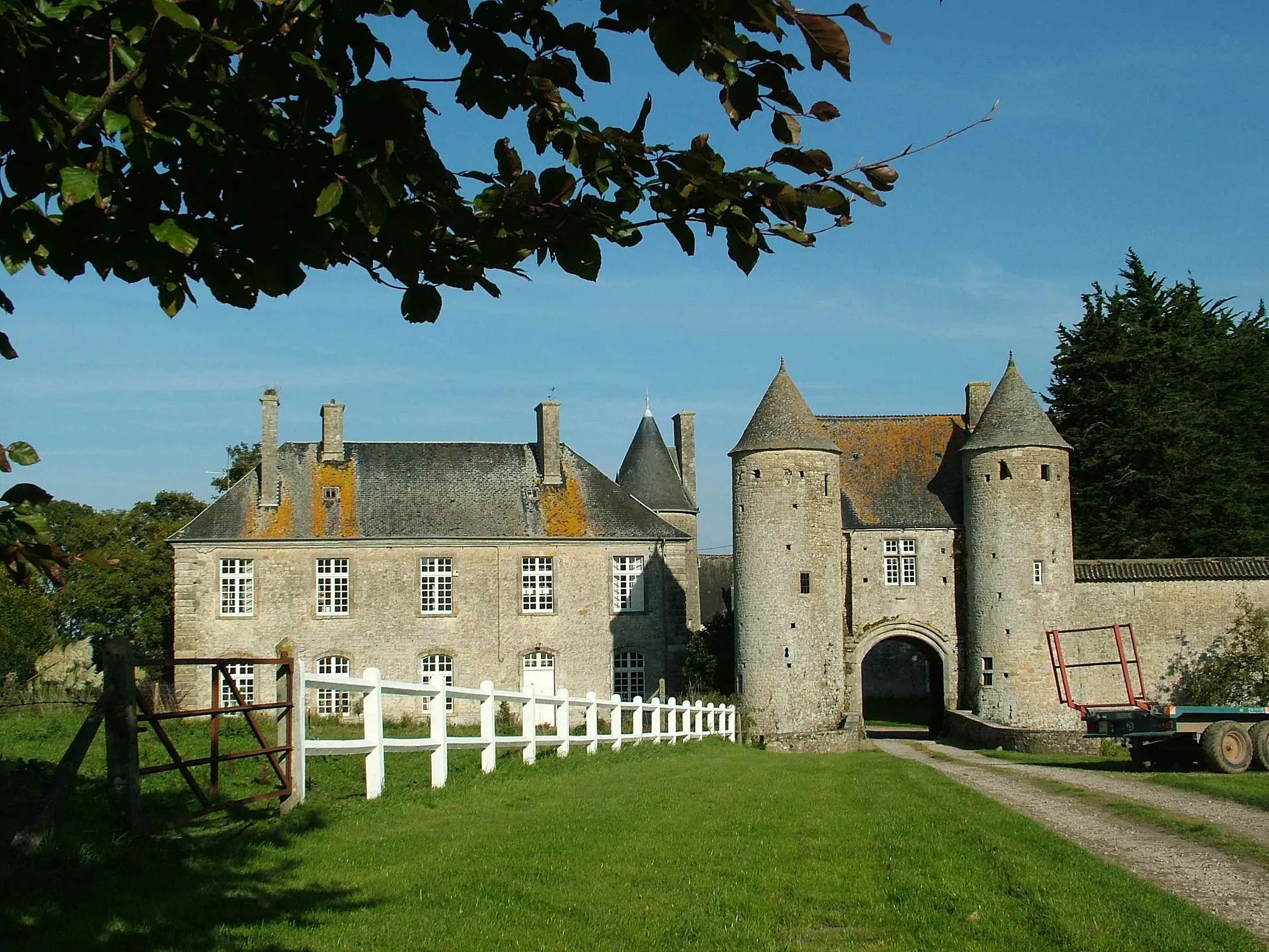
Manoir de DonvilleCastleMarvel at the Manoir de Donville, a grand manor house offering a glimpse into the past.
34 km
34 km
Finish: Carentan City centerCarentan: Historical Significance and Diverse Landscapes
Cycling routes from Carentan:
Cycling routes nearby: