Road Cycling in Auxais
A road cycling route starting from Carentan
Enjoy a scenic and challenging road cycling route through Auxais
Map
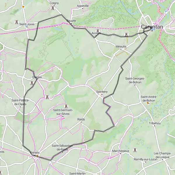
Experience the beauty of Auxais on this road cycling route, which offers stunning views and challenging climbs. With 186 meters of ascent and a distance of 53 kilometers, this route is suitable for intermediate cyclists. Discover highlights including the picturesque village of Saint-Sébastien-de-Raids and the beautiful Gorges.
road
53 km
186 m
Tough
Route profile
Highlights on the route
0 km
0 km
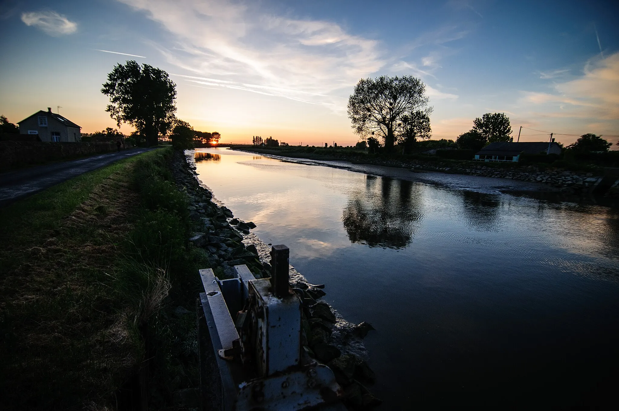
Start: Carentan City centerCarentan: Historical Significance and Diverse Landscapes
Carentan, located in Basse-Normandie, France, is a pleasant town for road and gravel cyclists. The region offers a variety of terrains, from flat stretches along the Normandy coastline to rolling landscapes dotted with picturesque villages and farmland. Carentan is well-known for its historical significance in World War II, and cycling enthusiasts can explore the famous D-Day landing sites and nearby museums. With its diverse landscapes and historical attractions, Carentan is a great destination for both cycling and tourism.13 km
13 km
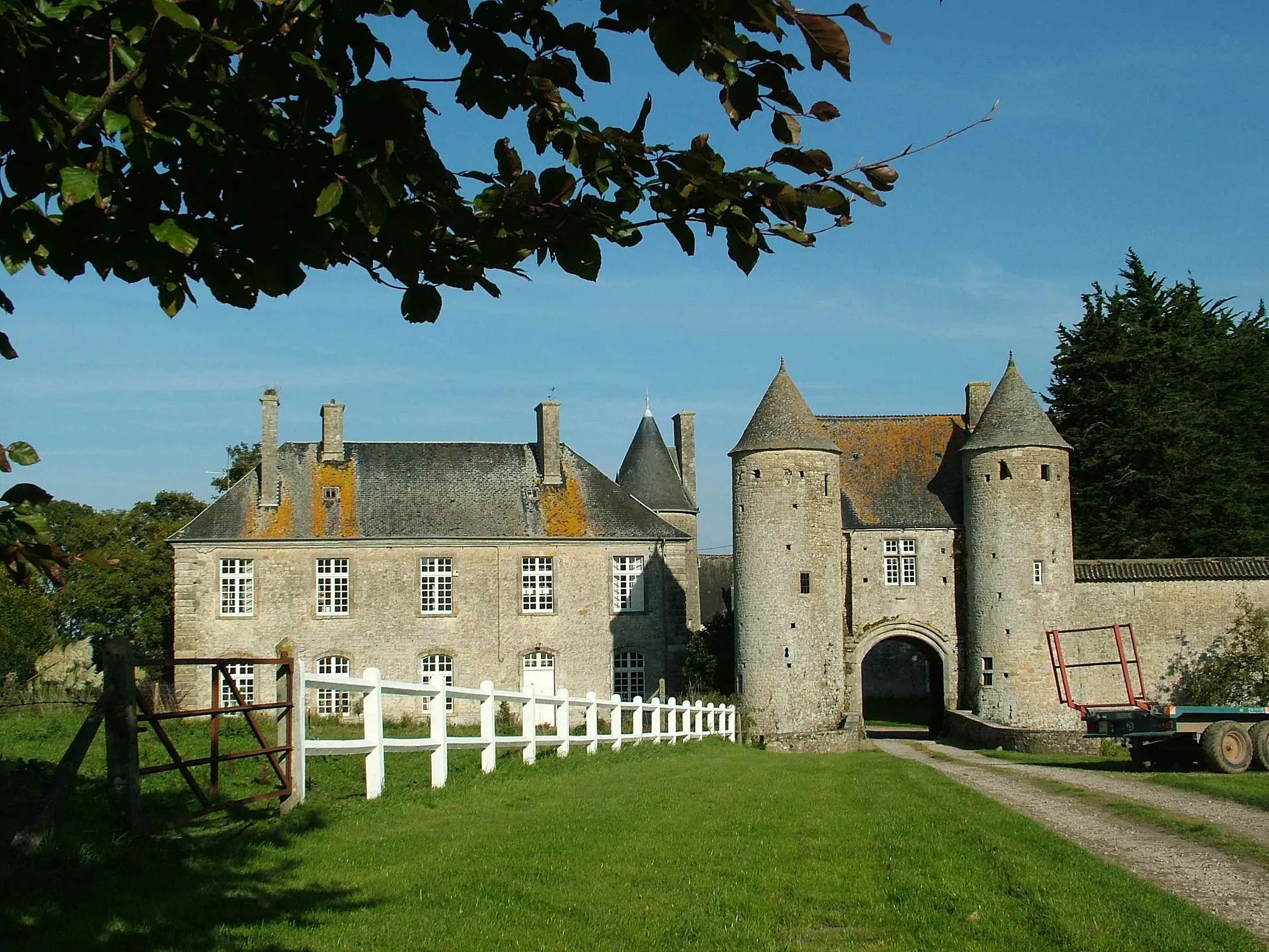
AuxaisVillagePass through the charming village of Auxais and enjoy the beautiful Norman architecture and peaceful atmosphere.
20 km
20 km
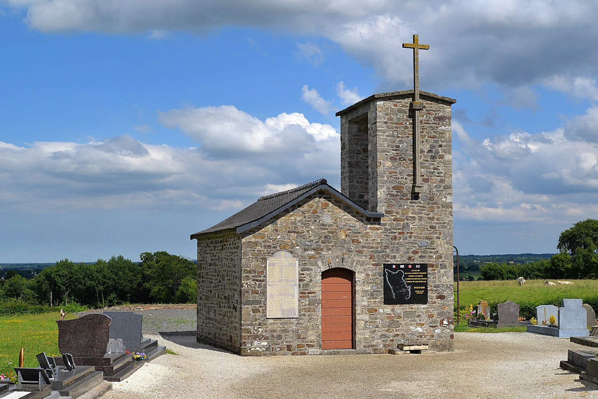
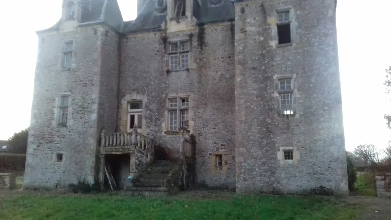
Saint-Sébastien-de-RaidsVillageExplore the historic village of Saint-Sébastien-de-Raids, known for its medieval buildings and charming streets.
32 km
32 km
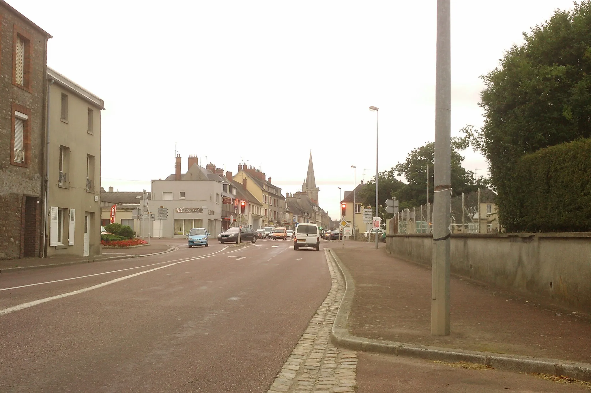
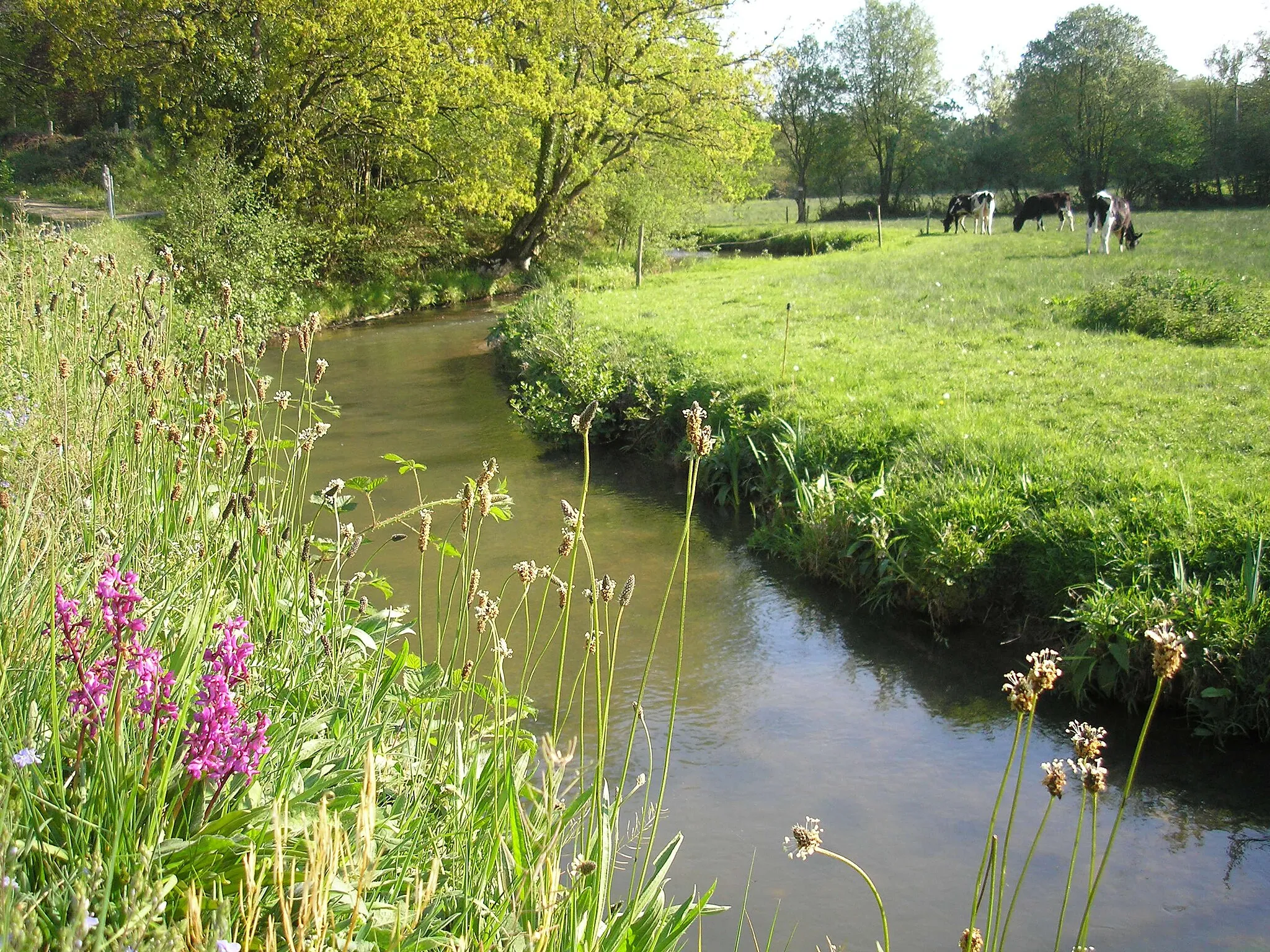
GorgesVillageVisit Gorges and discover its stunning natural beauty, with breathtaking cliffs and picturesque landscapes.
47 km
47 km
AuversVillageCycle through Auvers and admire its historic buildings and charming countryside scenery.
53 km
53 km
Finish: Carentan City centerCarentan: Historical Significance and Diverse Landscapes
Cycling routes from Carentan:
Cycling routes nearby: