Lepuix Loop
A gravel cycling route starting from Giromagny
A gravel adventure with stunning landscapes
Map
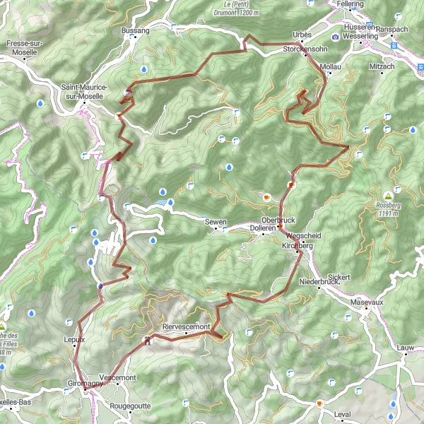
The Lepuix Loop is a challenging gravel route that takes you through picturesque landscapes in the Franche-Comté region of France. With a total ascent of 2,545 meters and a distance of 70 kilometers, this route is perfect for experienced gravel cyclists. The highlight of this route is the majestic Ballon d'Alsace mountain, which you will pass after covering 12 kilometers. Another highlight is the beautiful Cascade de l'Ours waterfall, located 23 kilometers into the route. As you continue, you'll also encounter the scenic Tête des Neufs Bois and the charming town of Mollau. Overall, the Lepuix Loop offers a challenging and visually rewarding cycling experience.
gravel
70 km
2545 m
Tough
Route profile
Highlights on the route
0 km
0 km
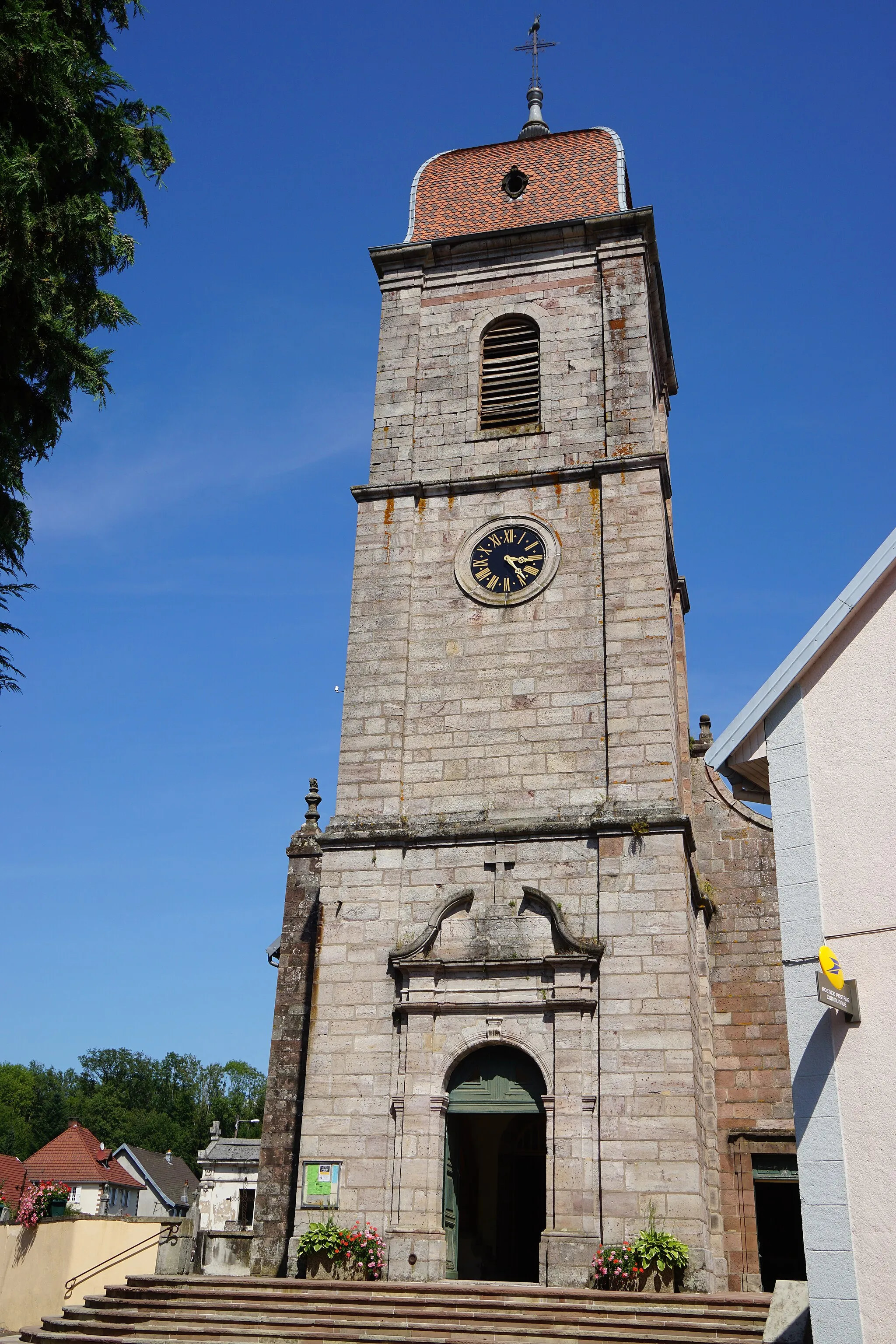
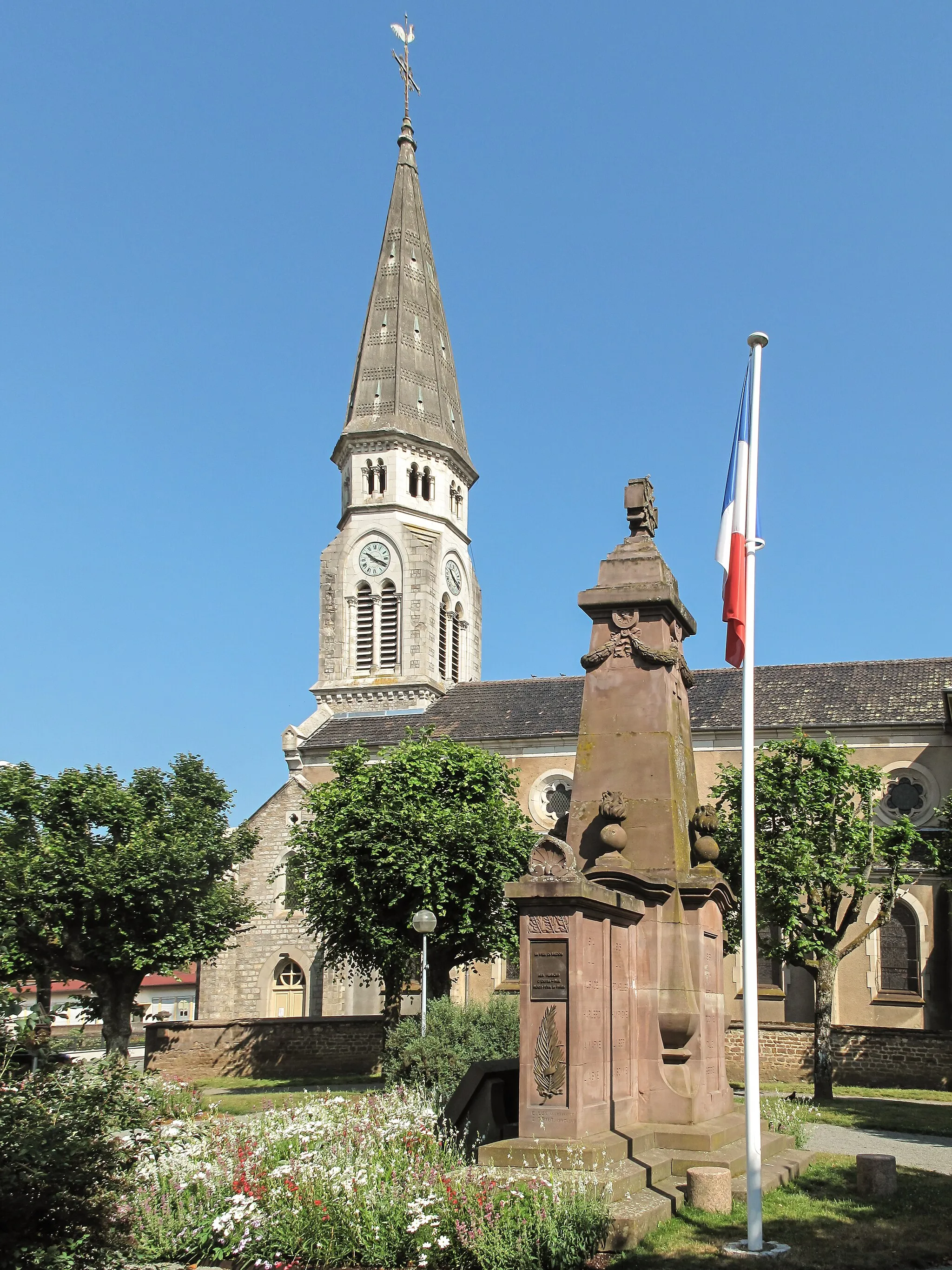
Start: Giromagny Village centerGiromagny: Cycling Haven in Franche-Comté
Giromagny is a small town located in the Franche-Comté region of France. From a cyclist's perspective, Giromagny offers scenic routes with rolling hills and picturesque landscapes. The locality is well-connected to various cycling paths and routes, making it suitable for road and gravel cycling. Giromagny is also known for being the starting point of the breathtaking Ballon d'Alsace climb, popular amongst cyclists. With its cycling-friendly atmosphere and proximity to renowned cycling spots, Giromagny is an ideal destination for cyclists of all levels.2 km
2 km
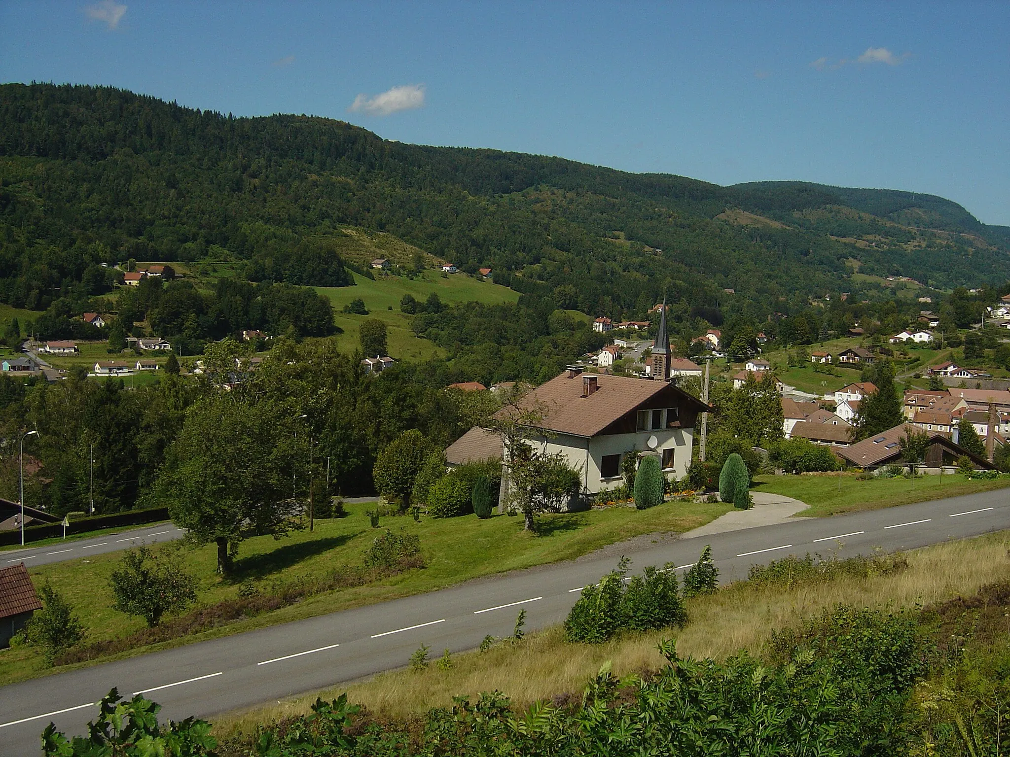
LepuixVillageLepuix village is known for its traditional houses and breathtaking views over the surrounding valleys.
12 km
12 km
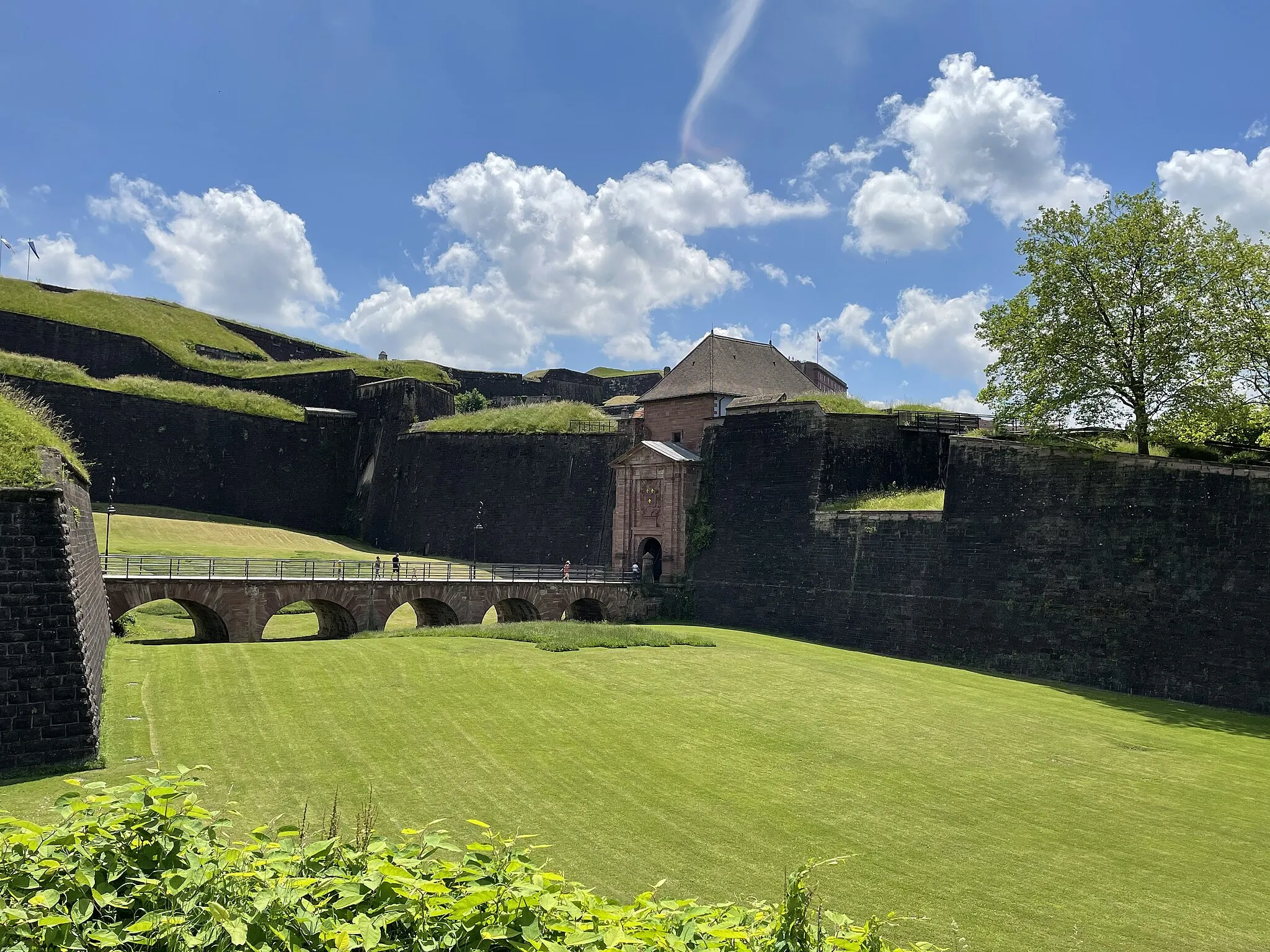
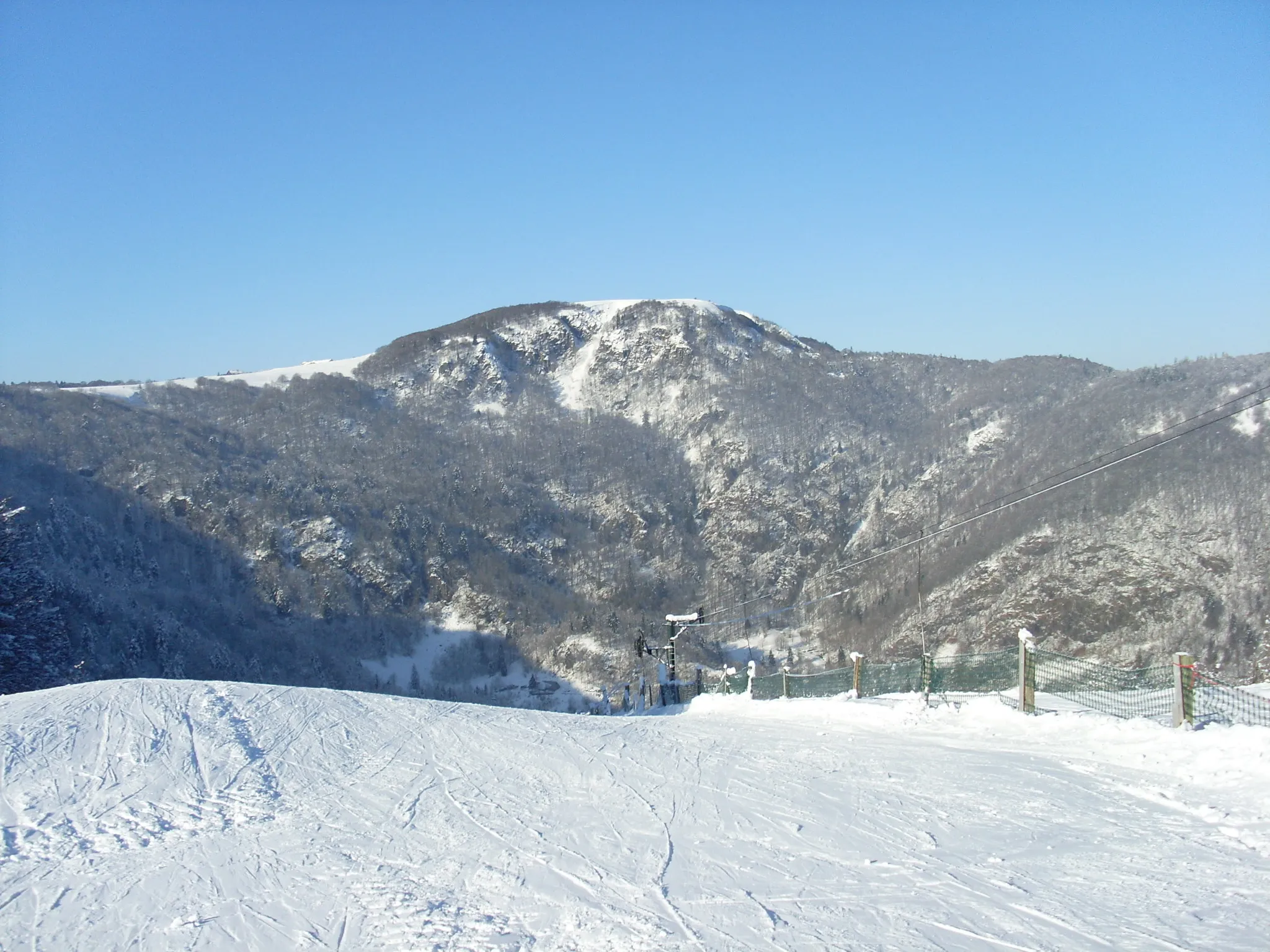
Ballon d'Alsace1248 mPeakThe Ballon d'Alsace is a legendary climb frequently featured in the Tour de France.
23 km
23 km
Cascade de l'OursWaterfallThe Cascade de l'Ours is a stunning waterfall that cascades down several tiers.
28 km
28 km
Tête des Neufs Bois1229 mPeakTête des Neufs Bois offers panoramic views of the surrounding mountains and forests.
35 km
35 km
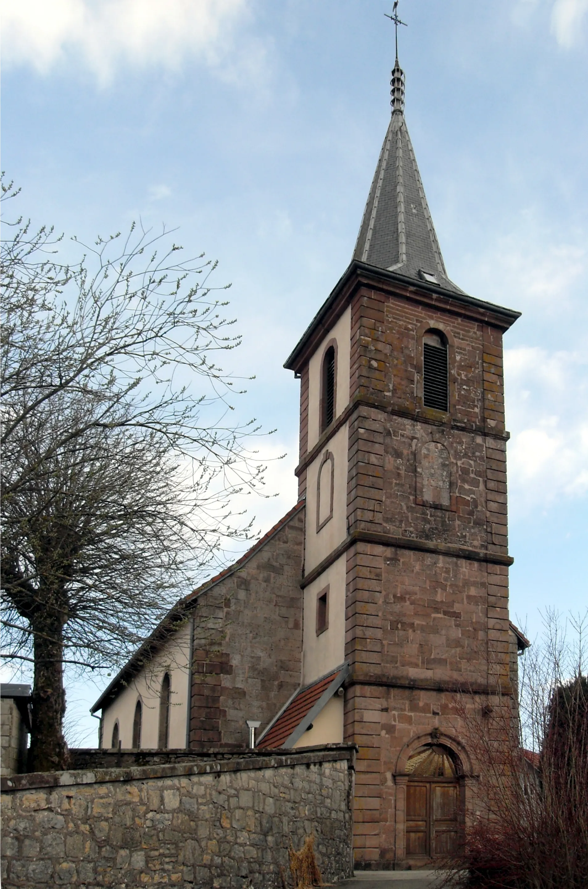
MollauVillageThe picturesque village of Mollau features colorful houses and a historic church.
44 km
44 km
Col de Rimbach940 mMountain PassCol de Rimbach offers an exciting climb and stunning vistas from the top.
58 km
58 km
Baerenkopf1075 mPeakBaerenkopf is a beautiful mountaintop with impressive views over the region.
62 km
62 km
Lamadeleine-Val-des-AngesVillageLamadeleine-Val-des-Anges is a scenic village known for its peaceful atmosphere and charming streets.
68 km
68 km
VescemontVillageVescemont is a historic village with well-preserved architecture and a fascinating local museum.
70 km
70 km
Finish: Giromagny Village centerGiromagny: Cycling Haven in Franche-Comté
Cycling routes from Giromagny:
Lepuix Loop Gravel Adventure: Giromagny to Planche des Belles Filles Giromagny Loop Challenging Ride: Giromagny to Rougegoutte Romagny Expedition Bavilliers Route Road Cycling Escape: Giromagny to Auxelles-Bas Montbéliard Discovery Alsace Gravel Adventure Gravel Exploration: Giromagny to Planche des Belles Filles The Gravel Adventure to Servance
Cycling routes nearby: