Challenging Ride: Giromagny to Rougegoutte
A road cycling route starting from Giromagny
Embark on a challenging cycling journey from Giromagny to Rougegoutte
Map
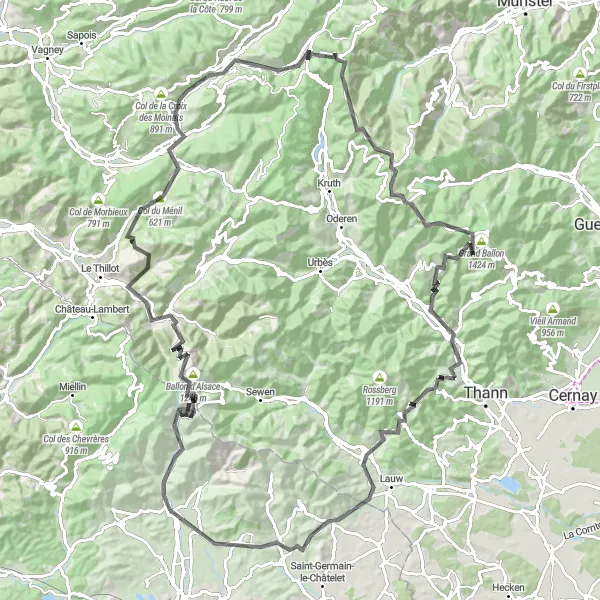
Prepare for an intense 129 km ride with an impressive ascent of 2885 meters, tackling some of the most iconic climbs in the region. This demanding route is tailored for experienced riders seeking an exhilarating challenge. As you conquer each climb, you'll be rewarded with breathtaking vistas and a true sense of accomplishment. From the majestic Ballon d'Alsace to the stunning Col du Hundsruck, every highlight along this route is a testament to the beauty and cycling prowess of Franche-Comté.
road
129 km
2885 m
Savage
Route profile
Highlights on the route
0 km
0 km
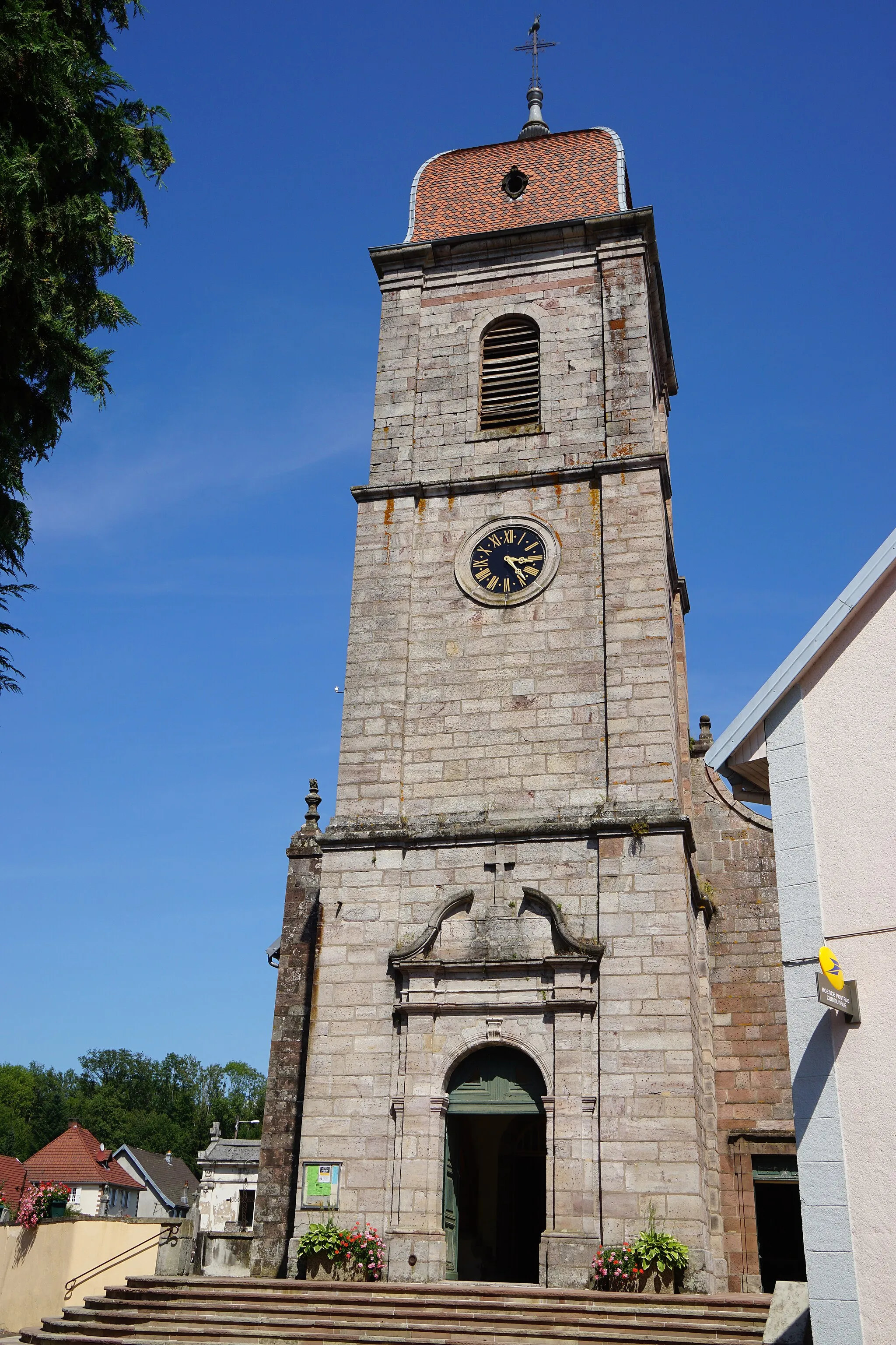
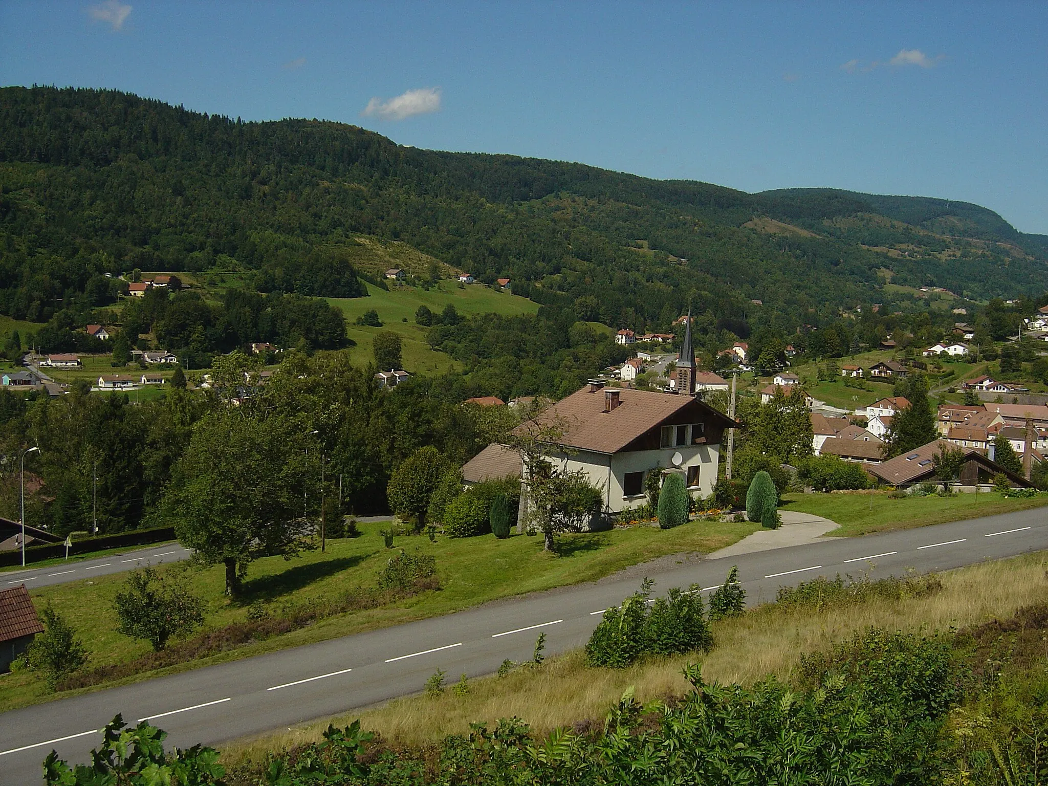
Start: Giromagny Village centerGiromagny: Cycling Haven in Franche-Comté
Giromagny is a small town located in the Franche-Comté region of France. From a cyclist's perspective, Giromagny offers scenic routes with rolling hills and picturesque landscapes. The locality is well-connected to various cycling paths and routes, making it suitable for road and gravel cycling. Giromagny is also known for being the starting point of the breathtaking Ballon d'Alsace climb, popular amongst cyclists. With its cycling-friendly atmosphere and proximity to renowned cycling spots, Giromagny is an ideal destination for cyclists of all levels.2 km
2 km
LepuixVillageLepuix, at just 2 km, offers a taste of what lies ahead with its challenging gradients and panoramic views.
16 km
16 km
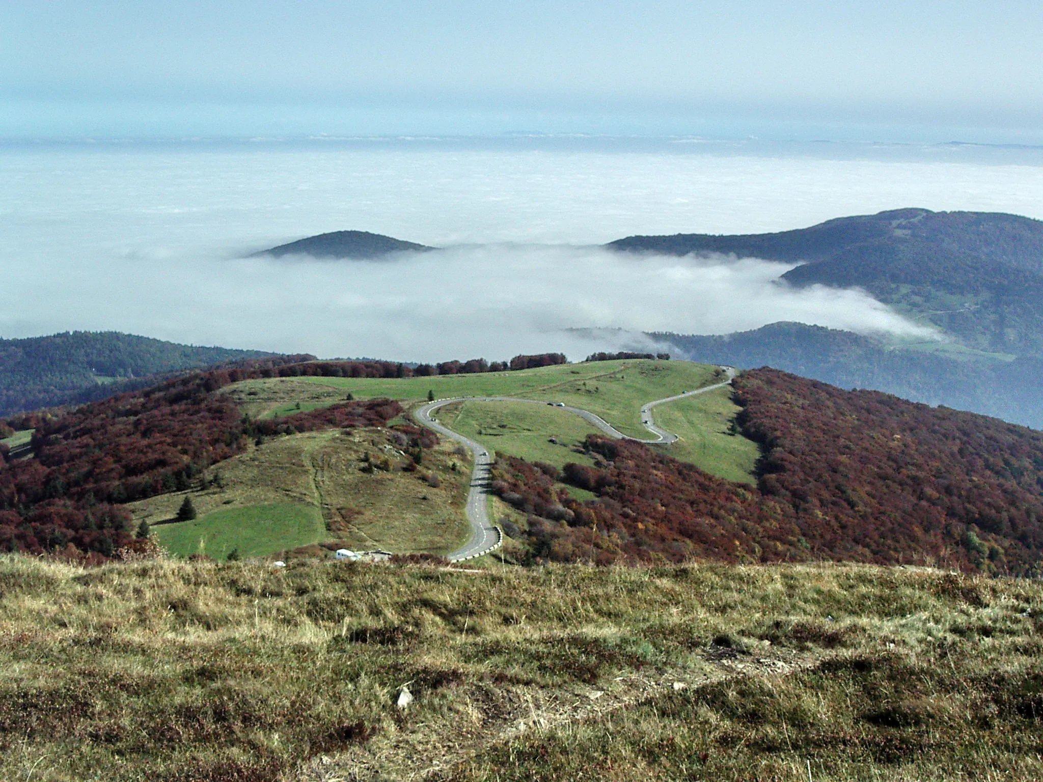
Ballon d'Alsace1248 mPeakReach the legendary Ballon d'Alsace at 16 km, one of the most prestigious climbs in France, synonymous with the history of cycling.
35 km
35 km
Le MénilVillageLocated at 35 km, Le Ménil entices with its tranquil charm, providing a well-deserved rest before the next challenging ascent.
38 km
38 km
Col du Ménil621 mMountain PassConquer Col du Ménil at 38 km, a dramatic climb that tests your mettle while offering breathtaking views of the surroundings.
51 km
51 km
La BresseVillageAt 51 km, La Bresse is known for its captivating landscapes and a favorite training spot for professional cyclists.
62 km
62 km
Rainkopf1305 mViewpointRainkopf awaits adventurous riders at 62 km, offering magnificent scenery and a thrilling climb to its peak.
80 km
80 km
Grand Ballon1424 mPeakExperience the exhilaration of reaching the majestic Grand Ballon at 80 km, the highest road pass in the Vosges Mountains.
86 km
86 km
GeishouseVillageGeishouse at 86 km exudes tranquility with its charming village setting and sweeping views of the surrounding countryside.
95 km
95 km
Bitschwiller-lès-ThannVillageBitschwiller-lès-Thann, at 95 km, is a picturesque village nestled in a verdant valley, offering a serene stopover for weary riders.
101 km
101 km
Col du Hundsruck748 mMountain PassCol du Hundsruck at 101 km is known for its challenging gradients and offers stunning vistas of the lush green landscape.
110 km
110 km
MasevauxVillageAt 110 km, Masevaux boasts picturesque architecture and a welcoming atmosphere, providing respite before the final challenges.
117 km
117 km
Mont Marty517 mPeakAs you approach Mont Marty at 117 km, gear up for a demanding climb that rewards with spectacular panoramic views.
127 km
127 km
RougegoutteVillageArriving at 127 km, Rougegoutte encapsulates the charm of Franche-Comté, with its lush green surroundings and delightful village setting.
129 km
129 km
Finish: Giromagny Village centerGiromagny: Cycling Haven in Franche-Comté
Cycling routes from Giromagny:
Lepuix Loop Gravel Adventure: Giromagny to Planche des Belles Filles Giromagny Loop Challenging Ride: Giromagny to Rougegoutte Romagny Expedition Bavilliers Route Road Cycling Escape: Giromagny to Auxelles-Bas Montbéliard Discovery Alsace Gravel Adventure Gravel Exploration: Giromagny to Planche des Belles Filles The Gravel Adventure to Servance
Cycling routes nearby: