Canteleu to Panorama de Mont-Saint-Aignan Road Cycling Route
A road cycling route starting from Canteleu
Embark on an adventurous ride from Canteleu to Panorama de Mont-Saint-Aignan, taking in panoramic views along the way.
Map
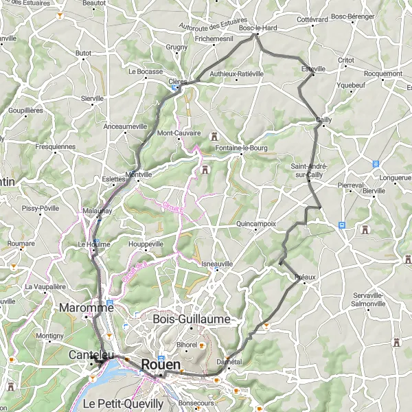
This road cycling route starts in Canteleu and leads you through Déville-lès-Rouen, Clères, Saint-André-sur-Cailly, Darnétal, and Panorama de Mont-Saint-Aignan. With a total distance of 67 kilometers and an ascent of 588 meters, this route offers a moderate challenge for well-trained amateur cyclists. The highlights of this route include the scenic town of Déville-lès-Rouen, the charming village of Clères with its beautiful gardens and wildlife park, and the panoramic views from Panorama de Mont-Saint-Aignan. With a difficulty level of 3 and an epicness rating of 4, this cycling route provides an exciting and memorable experience.
road
67 km
588 m
Tough
Route profile
Highlights on the route
0 km
0 km
Start: Canteleu City centerCanteleu: Exploring the historical attractions of Canteleu
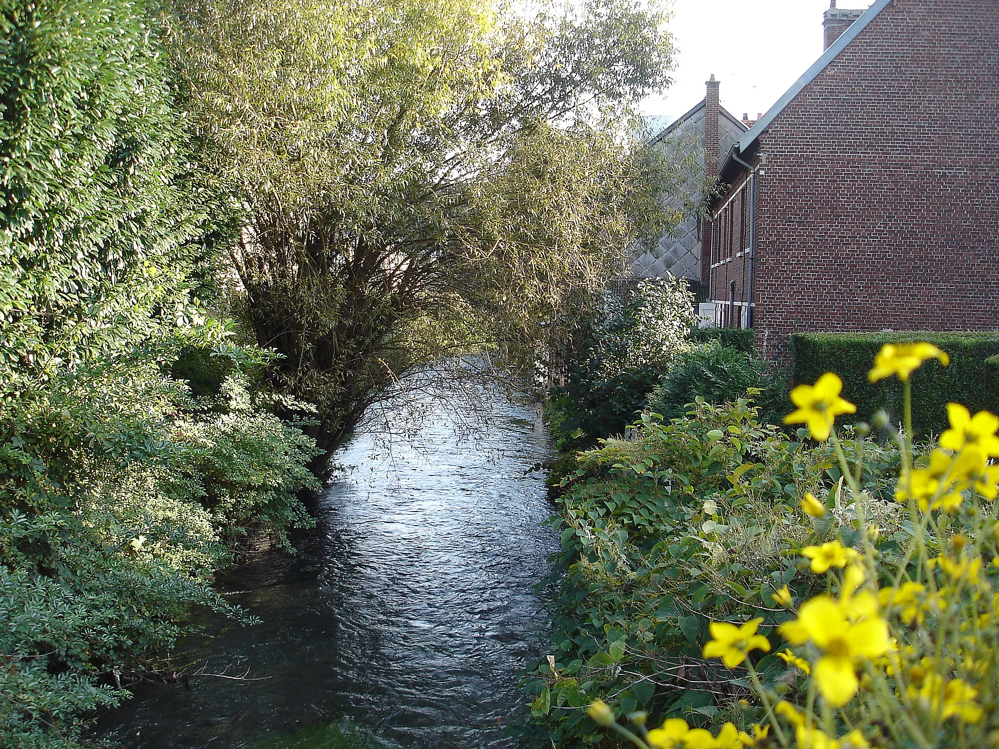
Canteleu is a town located in the region of Haute-Normandie, France. When it comes to cycling, Canteleu may not be the most thrilling destination. The terrain around Canteleu is mostly flat, with limited opportunities for challenging climbs or off-road cycling. However, the town itself has some interesting historical attractions, such as the Church of Saint-Martin and the Château de Canteleu. Canteleu also provides easy access to the city of Rouen, which offers more cycling opportunities and cultural experiences. While not a top cycling spot, Canteleu can still offer cyclists a pleasant base for exploring the region.5 km
5 km
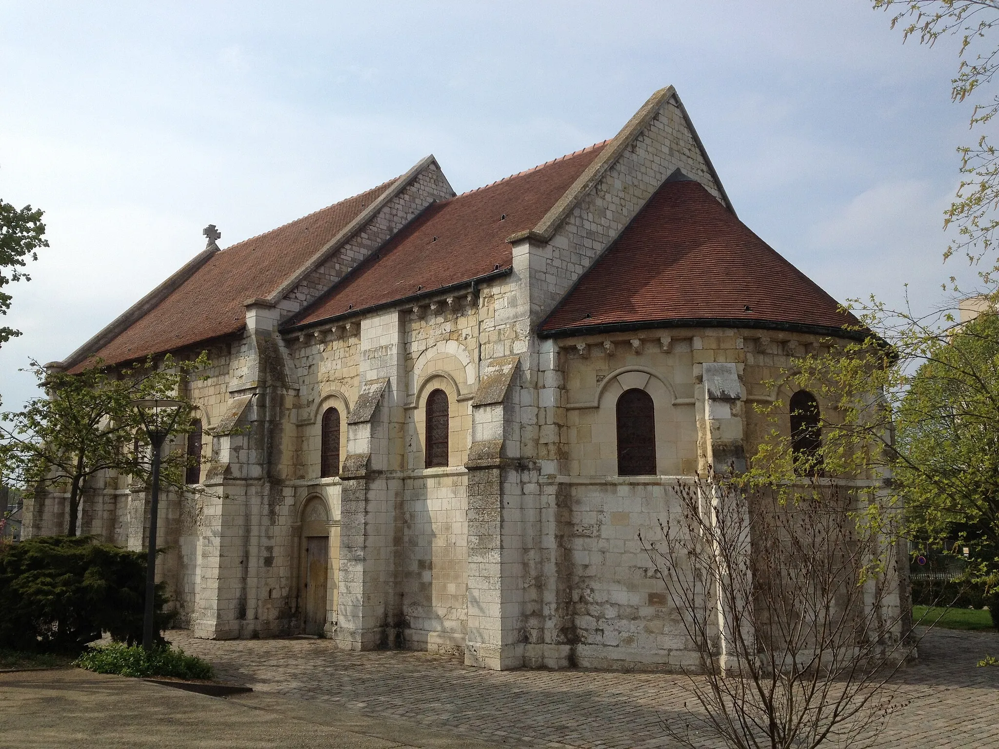
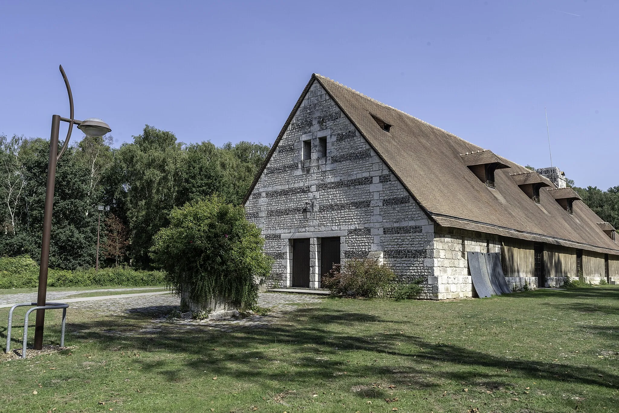
Déville-lès-RouenTownDéville-lès-Rouen is a charming town with picturesque streets and lovely architecture.
21 km
21 km
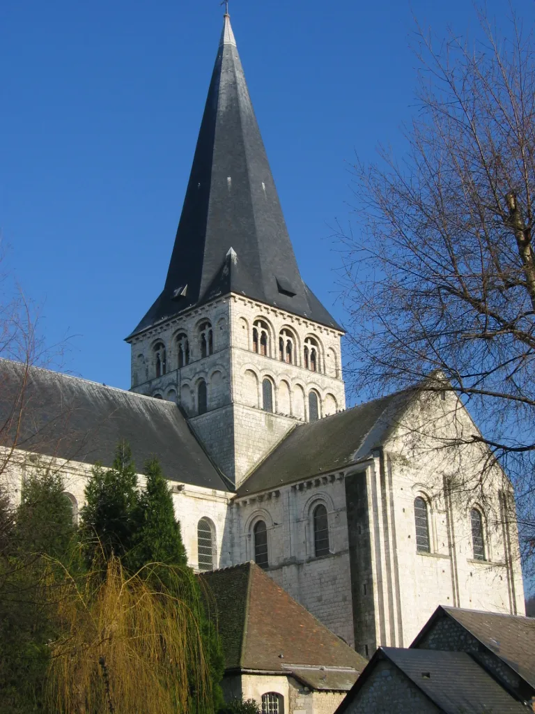
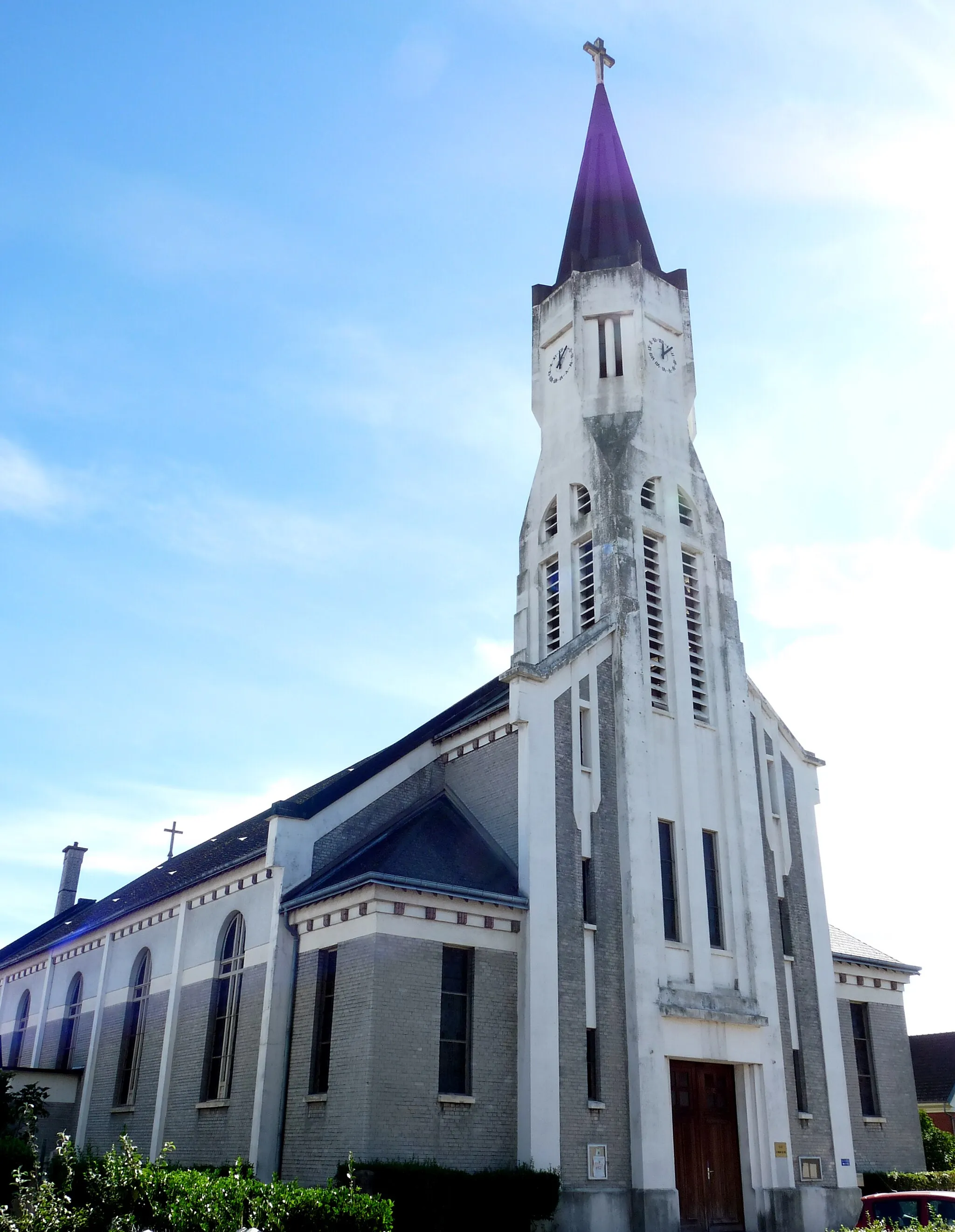
ClèresVillageClères is home to a stunning wildlife park and beautiful gardens, perfect for a relaxing break.
40 km
40 km
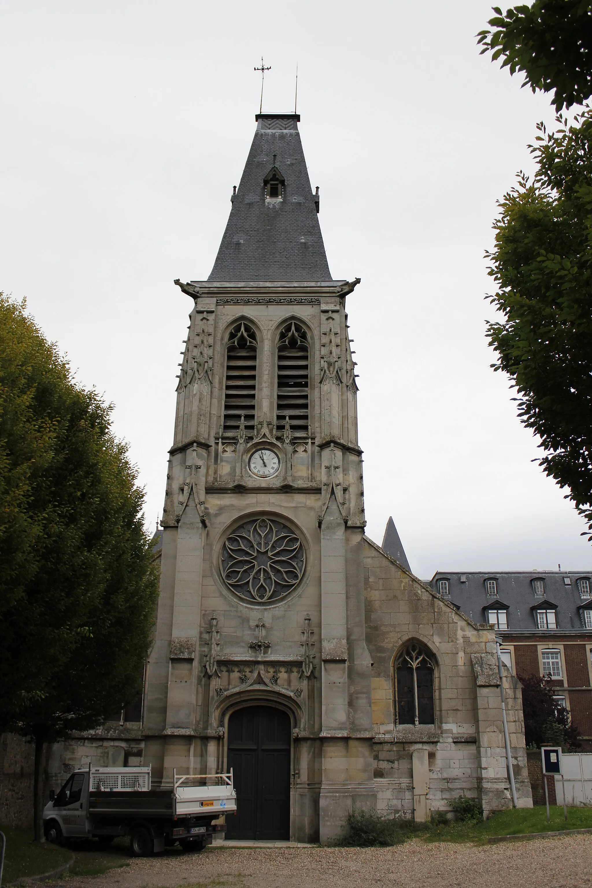
Saint-André-sur-CaillyVillageSaint-André-sur-Cailly is a small village surrounded by lush green fields and peaceful countryside.
57 km
57 km
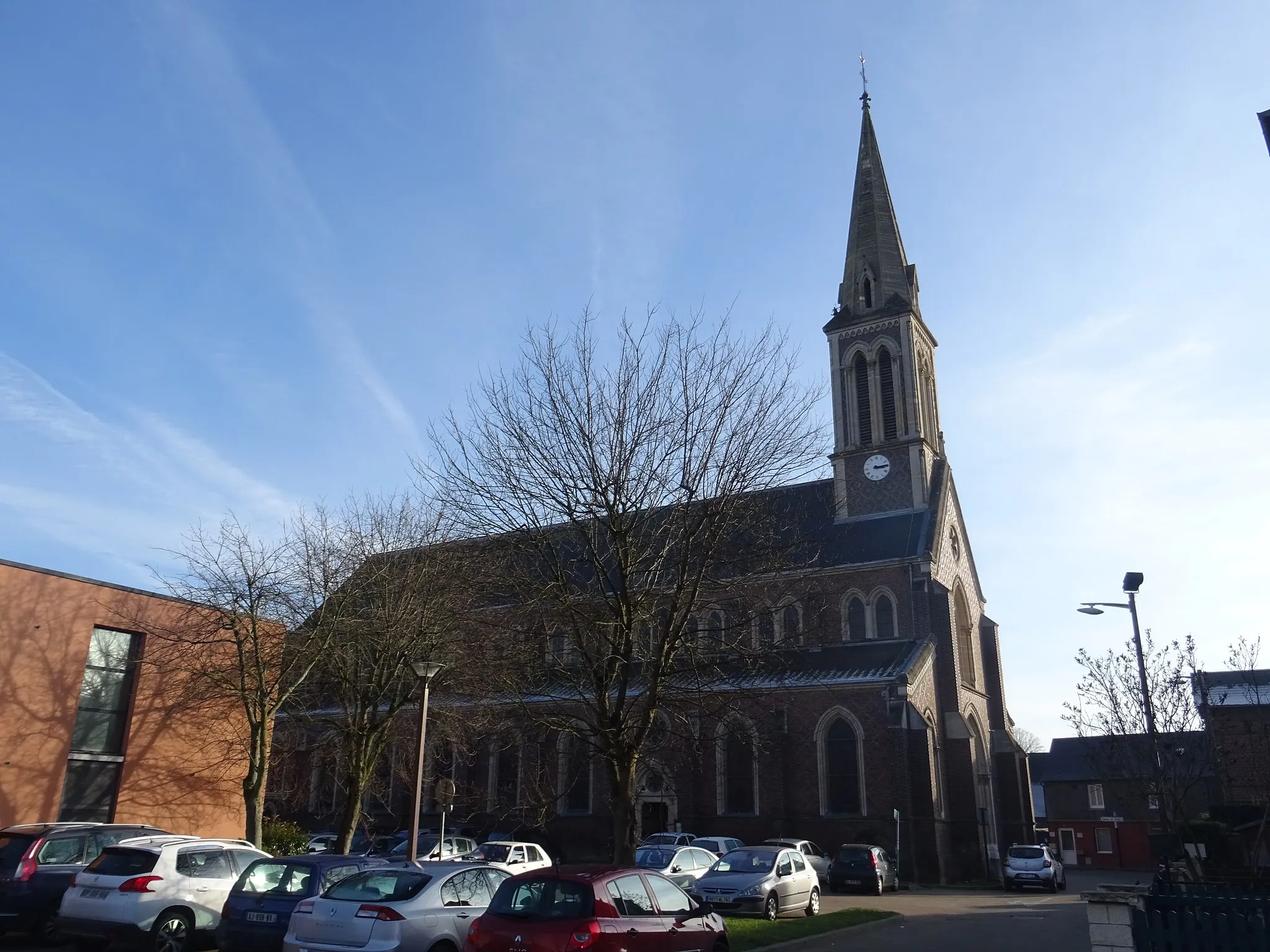
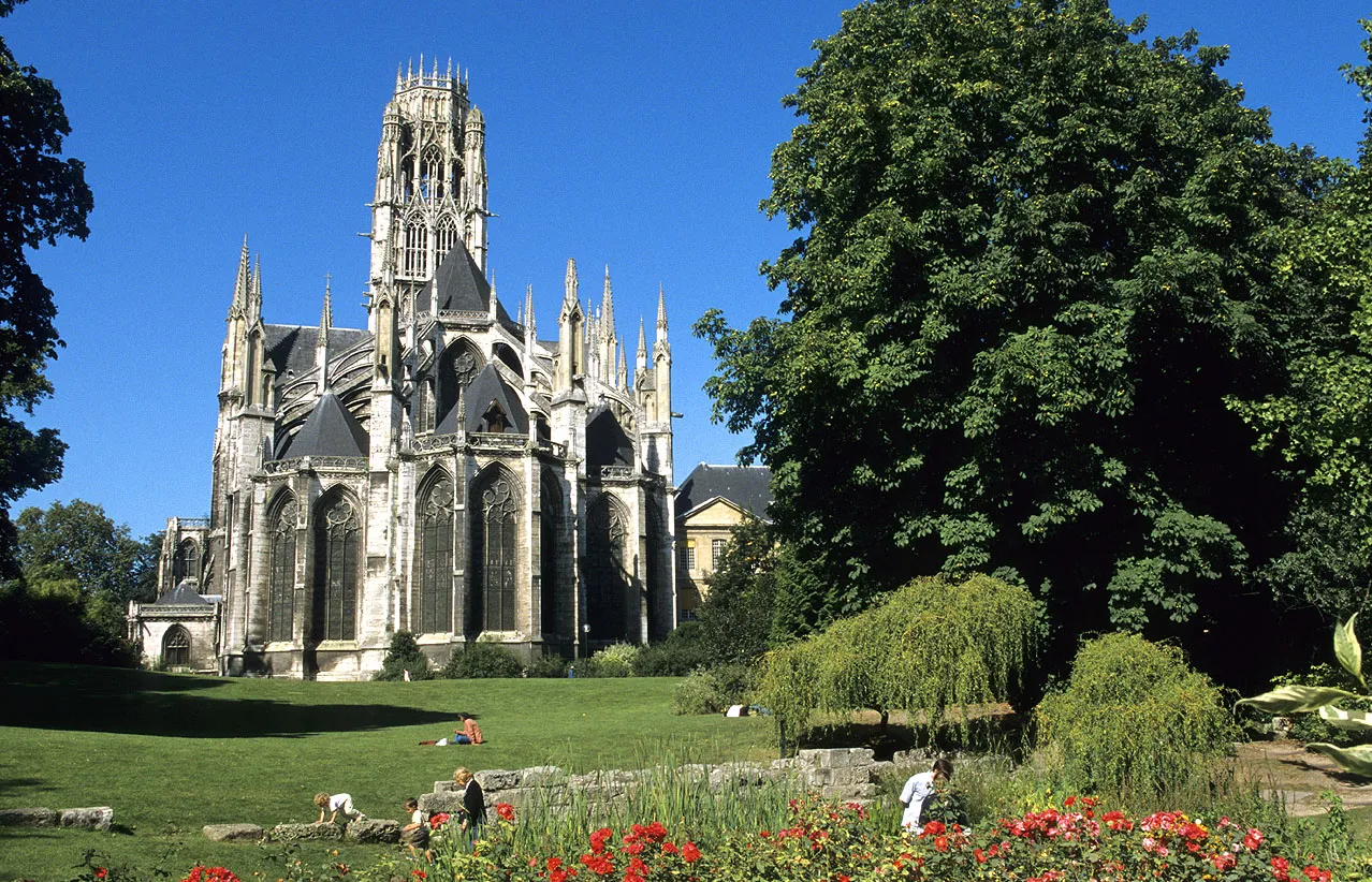
DarnétalVillageDarnétal is known for its historic buildings and lively atmosphere, making it a great place for a quick stop.
64 km
64 km
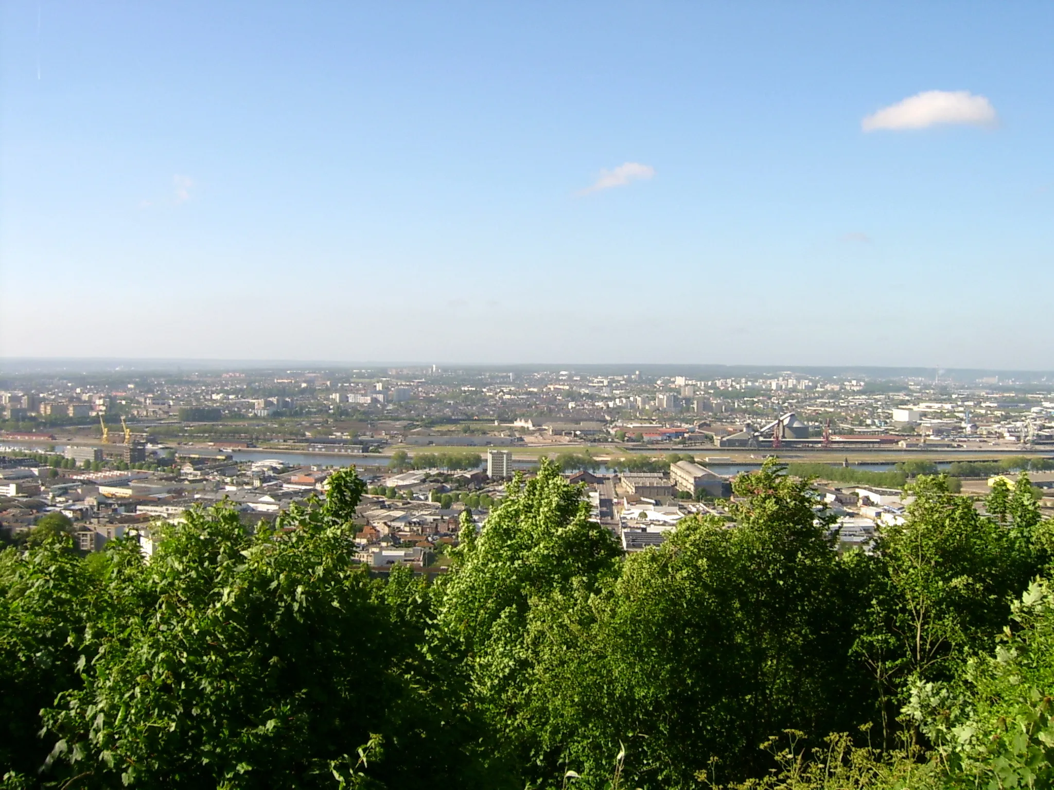
Panorama de Mont-Saint-AignanViewpointThe Panorama de Mont-Saint-Aignan offers breathtaking views of the surrounding landscape, including the city of Rouen in the distance.
67 km
67 km
Finish: Canteleu City centerCanteleu: Exploring the historical attractions of Canteleu
Cycling routes from Canteleu:
Rouen Explorer Canteleu to Saint-Wandrille-Rançon Road Cycling Route Hénouville Gravel Adventure Canteleu to Le Bosc-Roger-en-Roumois Road Cycling Route Canteleu to Blacqueville Road Cycling Route Canteleu to Panorama de Mont-Saint-Aignan Road Cycling Route Canteleu to Mairie Oissel Road Cycling Route Seine Valley Scenic Tour Rural Gravel Delight Canteleu to Mont-Saint-Aignan Loop
Cycling routes nearby: