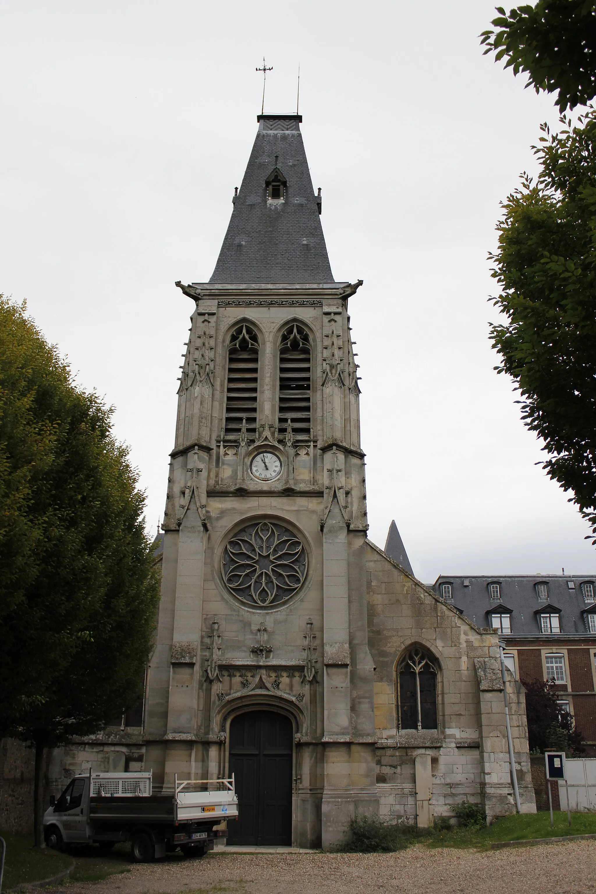
Pedal through the scenic landscapes of Houppeville and embrace the tranquil atmosphere.
Cycling routes from Houppeville
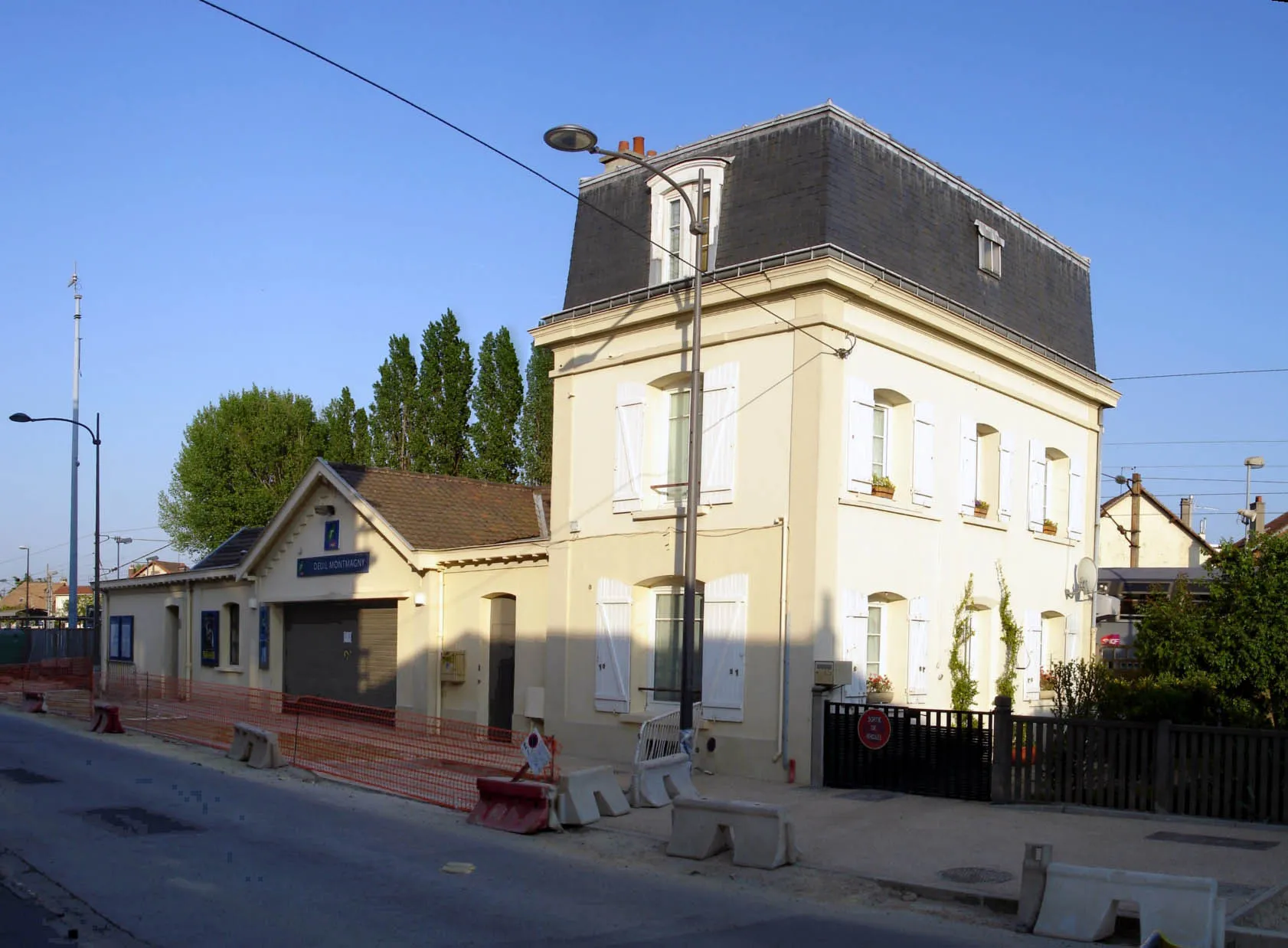
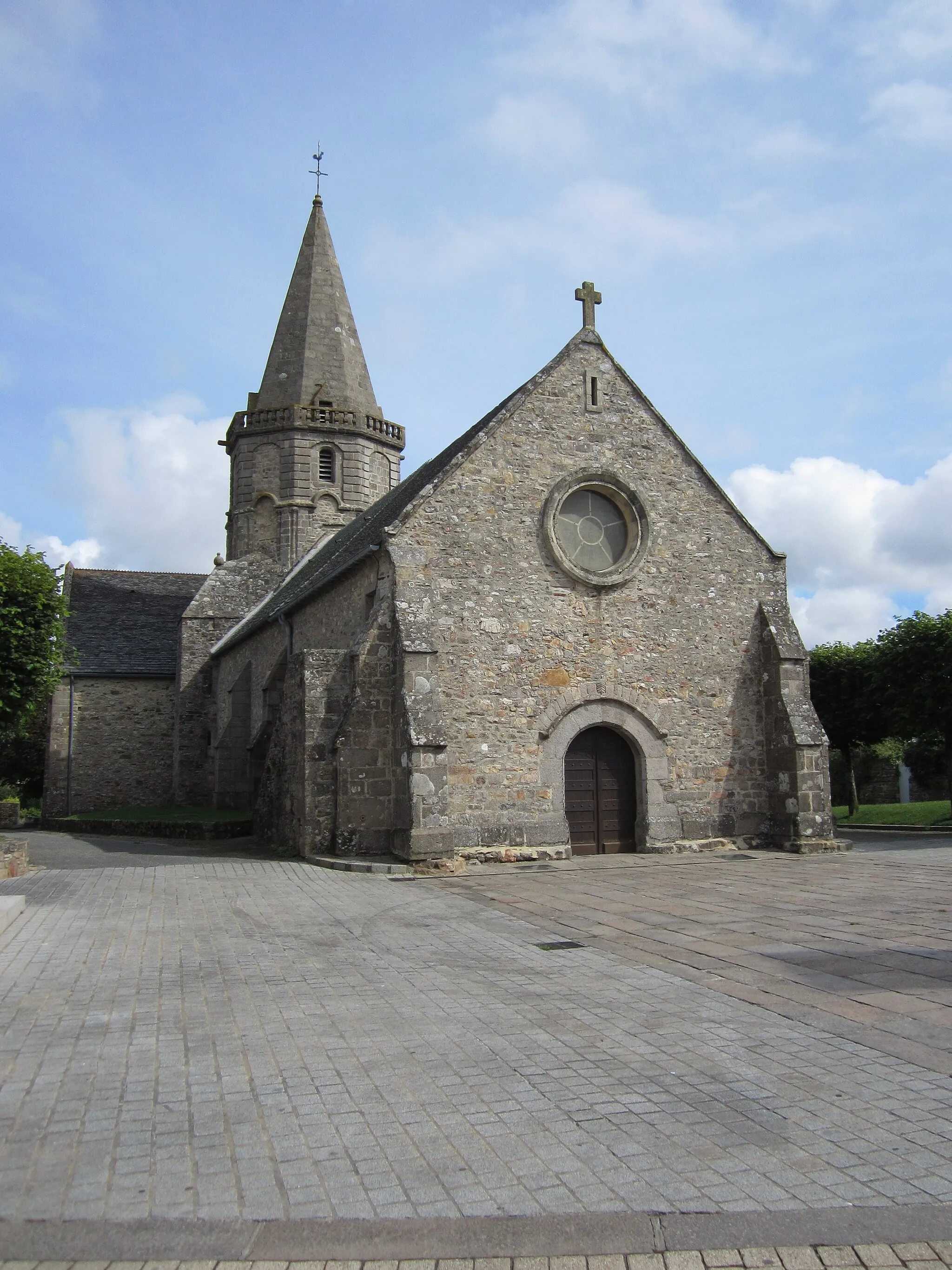
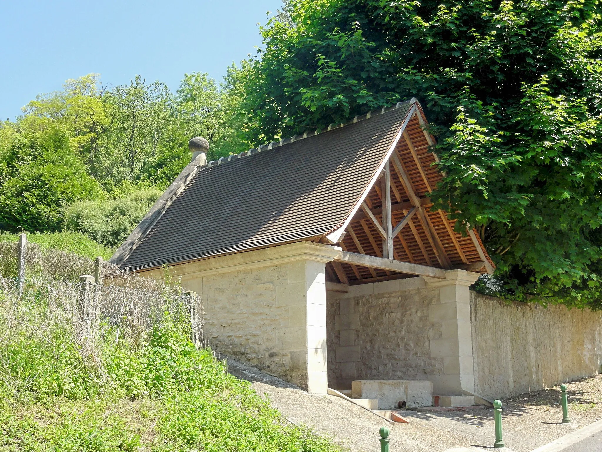
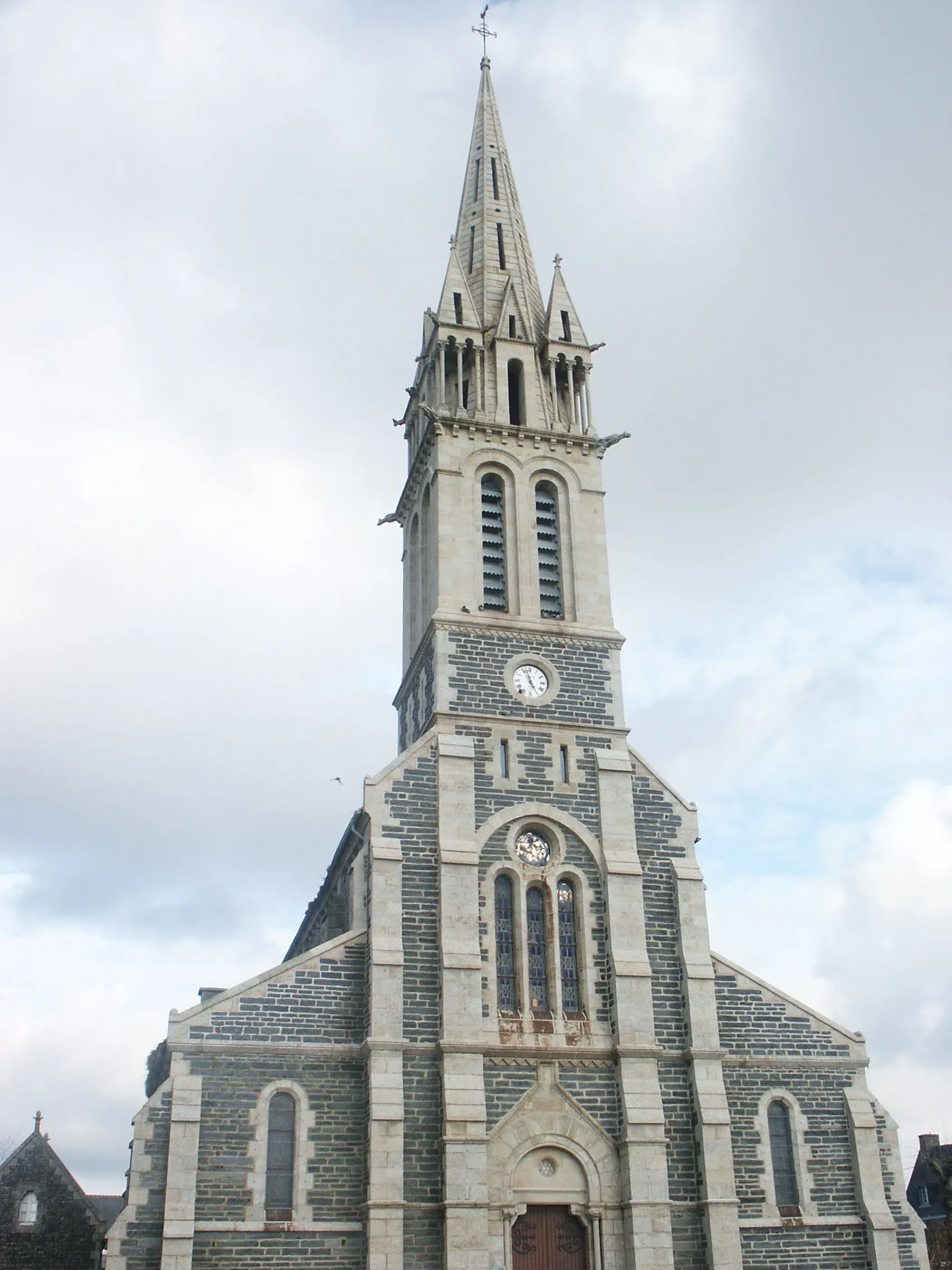
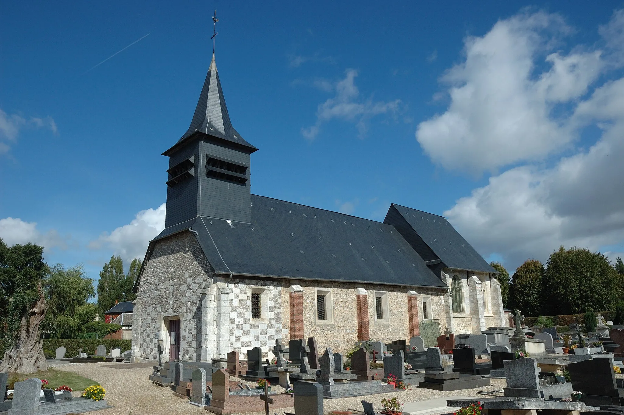
Houppeville is a charming locality situated in the Haute-Normandie region of France. From a cyclist's perspective, Houppeville offers a pleasant cycling experience with its well-paved roads and scenic surroundings. The locality is situated amidst beautiful natural landscapes, allowing cyclists to enjoy leisurely rides while immersing themselves in nature. Although Houppeville may not have well-known climbs or renowned cycling spots nearby, it provides a tranquil and safe environment for both road and gravel cyclists. If you appreciate idyllic rides and a peaceful ambiance, Houppeville is worth considering for your cycling adventures.
Maromme to Malaunay Road Route

Enjoy the scenic road journey from Maromme to Malaunay
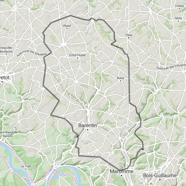
This road route is perfect for cyclists who enjoy scenic landscapes and picturesque towns. Starting in Maromme, the route covers a distance of 44 kilometers with an ascent of 594 meters. It passes through highlights such as Maromme, Duclair, Mont Géricault, and Malaunay. The route offers a moderate difficulty level, making it suitable for well-trained amateur cyclists. The highlights along the route provide opportunities to explore charming towns, historical landmarks, and beautiful natural scenery.
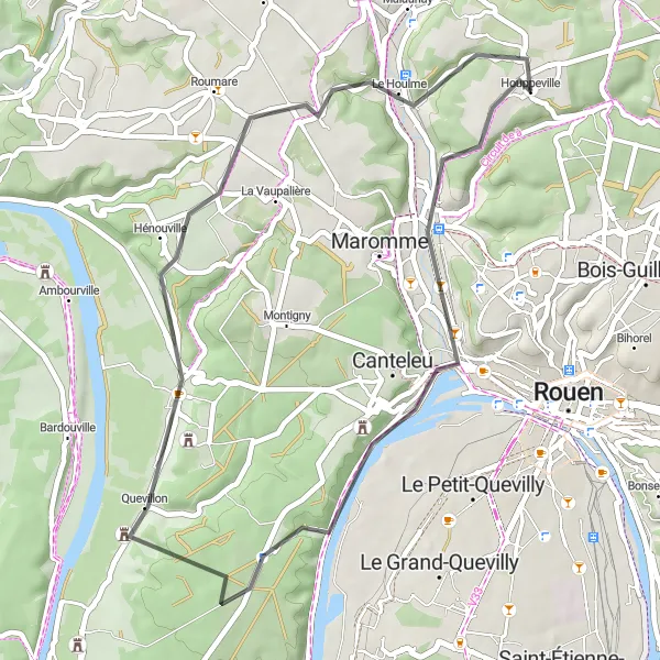
Rouen Countryside Gravel Route
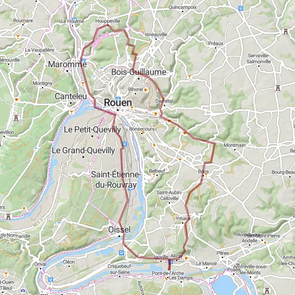
Discover the beautiful countryside around Rouen
Experience the beauty of the Rouen countryside with this gravel route. Starting in Houppeville, the route covers a distance of 64 kilometers and includes a total climb of 601 meters. Highlights along the route include Darnétal, Quévreville-la-Poterie, Mairie Oissel, Saint-Étienne-du-Rouvray, Rouen, and Panorama de Mont-Saint-Aignan. The route is suitable for well-trained amateur cyclists seeking a moderate challenge. Immerse yourself in the stunning landscapes, charming villages, and breathtaking views of the Rouen countryside.

Ride through the scenic Les Deux Amants Forest
This gravel route takes you through the beautiful Les Deux Amants Forest, offering a unique and memorable cycling experience. With a total distance of 102 kilometers and an ascent of 874 meters, this route is suitable for well-trained amateur cyclists seeking a moderate challenge. The route starts near Houppeville in Haute-Normandie, France and passes through various highlights including Darnétal, Pîtres, Table d'orientation de la cote des deux amants, Le Vaudreuil, Elbeuf, Le Petit-Quevilly, and Déville-lès-Rouen.
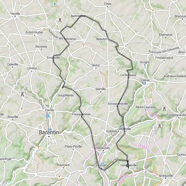
Scenic Road Tour of Normandy
Embark on a scenic road tour through Normandy
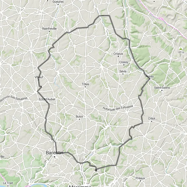
Discover the picturesque landscapes and charming towns of Normandy with this road route. Starting near Houppeville, the route covers a distance of 109 kilometers and includes an ascent of 835 meters. Highlights along the route include Mont Géricault, Pavilly, Yerville, Auzouville-sur-Saâne, Bacqueville-en-Caux, Anneville-sur-Scie, Bellencombre, Claville-Motteville, and Houppeville. This route offers a moderate difficulty level, making it suitable for well-trained amateur cyclists seeking a memorable cycling experience in Normandy.
The Varengeville Loop
Explore the charming villages and rolling hills near Houppeville
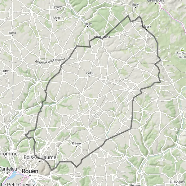
The Varengeville Loop takes you on a picturesque journey through the countryside near Houppeville. With beautiful landscapes, quaint villages, and challenging climbs, this route offers a great cycling experience. The route covers a distance of 98 km with a total ascent of 903 meters. It is suitable for road bikes and is moderately difficult, perfect for well-trained amateurs. The epicness of this route is rated 3 out of 5.
Châteaux and Countryside Ride
Discover picturesque châteaux and serene countryside on this road cycling route
Indulge in the beauty of the French countryside and discover magnificent châteaux along the way. This road cycling route covers a distance of 81 km with a total ascent of 661 meters. It is moderately difficult and suitable for well-trained amateurs. With an epicness rating of 3 out of 5, this route offers a blend of natural landscapes and cultural landmarks.

Embark on a gravel adventure through panoramic landscapes to Déville-lès-Rouen
Experience the thrill of gravel cycling and explore panoramic landscapes on this adventure to Déville-lès-Rouen. This route covers a distance of 109 km with a total ascent of 1013 meters. It is moderately difficult and suitable for gravel bikes. With an epicness rating of 4 out of 5, this route offers a spectacular experience for gravel enthusiasts.
Riverside Tour to Mont Géricault
Cycle along the riverside and discover the iconic Mont Géricault
Embark on a scenic ride along the riverside and visit the iconic Mont Géricault. This road cycling route covers a distance of 65 km and includes a total ascent of 665 meters. The route is moderately difficult, suitable for well-trained amateurs. With an epicness rating of 3 out of 5, this route offers a great mix of natural beauty and historical landmarks.
Déville-lès-Rouen Circuit
Explore the scenic countryside near Déville-lès-Rouen
This road route provides an opportunity to explore the scenic countryside near Déville-lès-Rouen. Starting in Déville-lès-Rouen, the route covers a distance of 41 kilometers and includes an ascent of 431 meters. Highlights along the route include Déville-lès-Rouen, Saint-Martin-de-Boscherville, and Saint-Jean-du-Cardonnay. Suitable for well-trained amateur cyclists, this route offers a moderate difficulty level and showcases the beauty of the local countryside and charming villages.
Discover the beautiful countryside near Houppeville on this thrilling gravel route
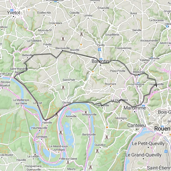
Experience the stunning natural beauty and charming rural towns around Houppeville on this epic gravel cycling adventure. With a total distance of 55 kilometers and an ascent of 528 meters, this route promises a challenging yet rewarding journey for experienced cyclists. Prepare to be captivated by the picturesque scenery and immerse yourself in the tranquility of the Haute-Normandie region.
Cycling routes nearby:


Nearby regions: