Tranquil Cycling Retreat in Haute-Normandie
Cycling routes from Le Houlme
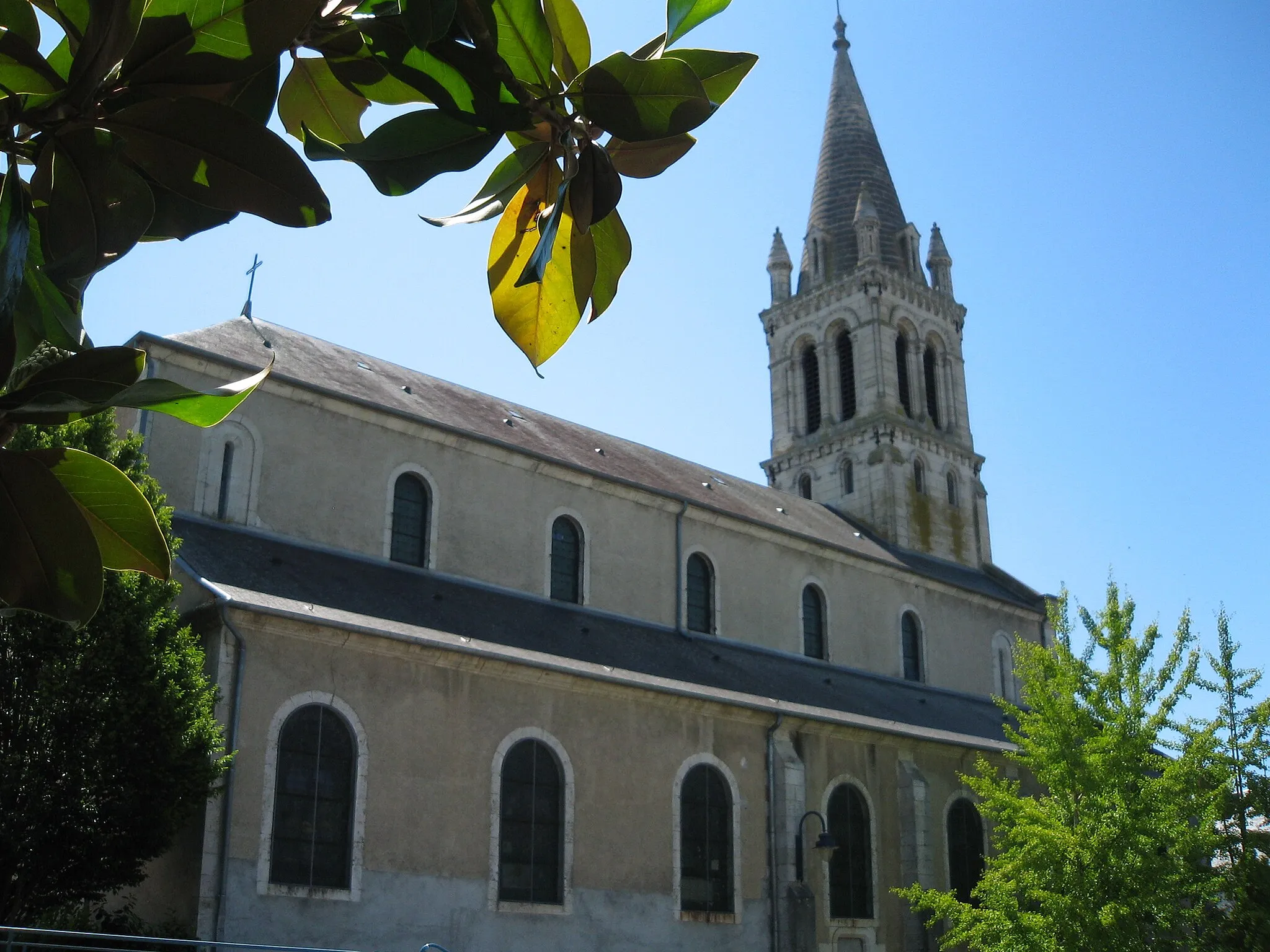
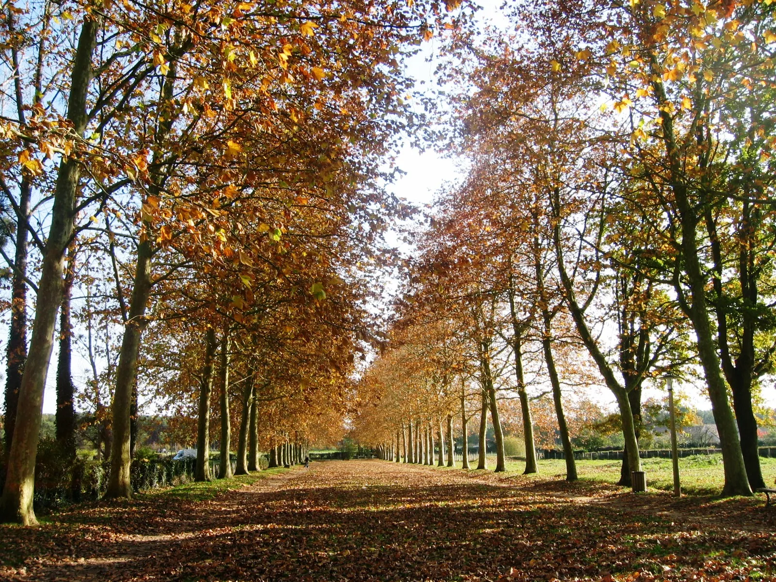
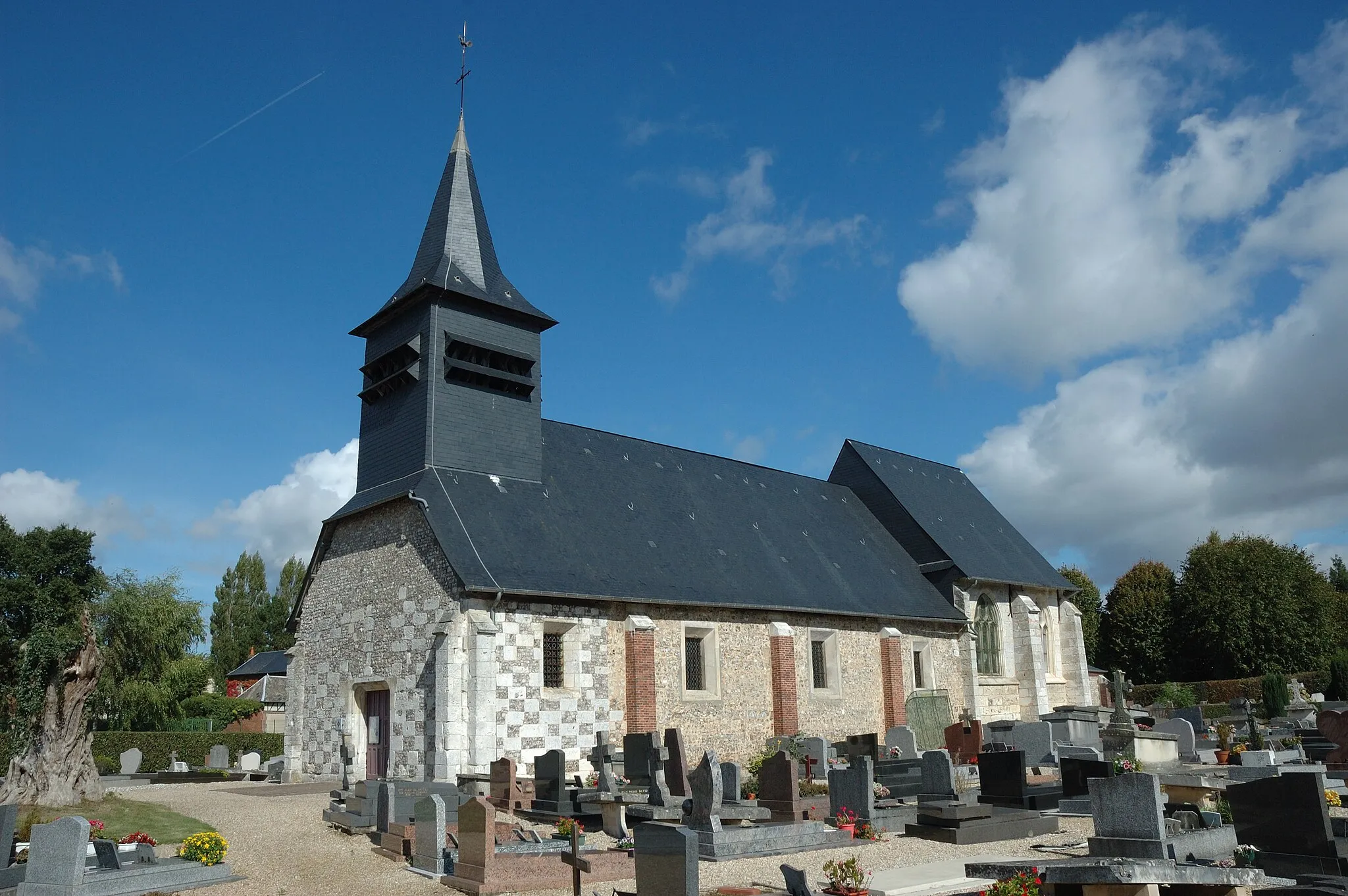
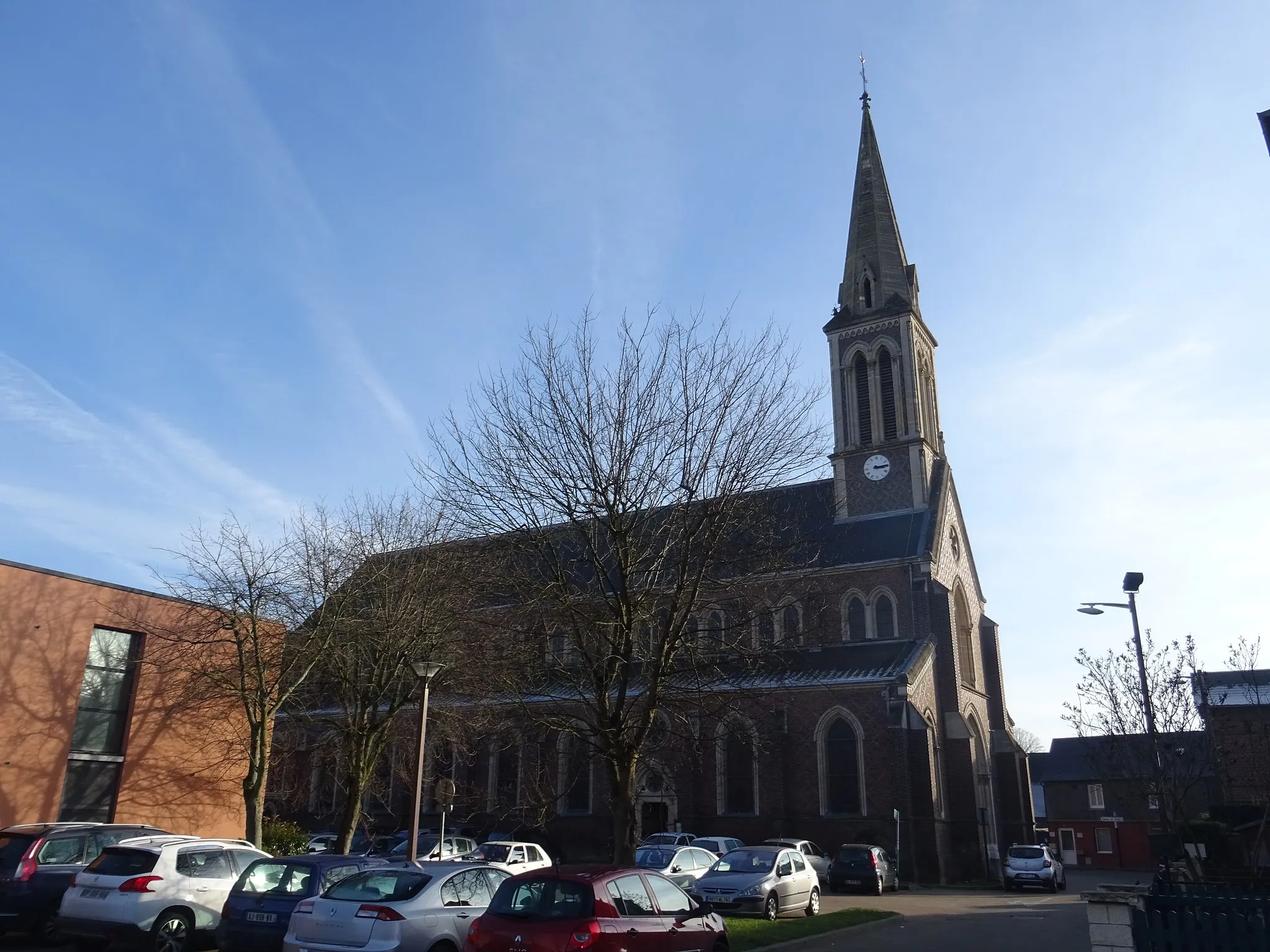
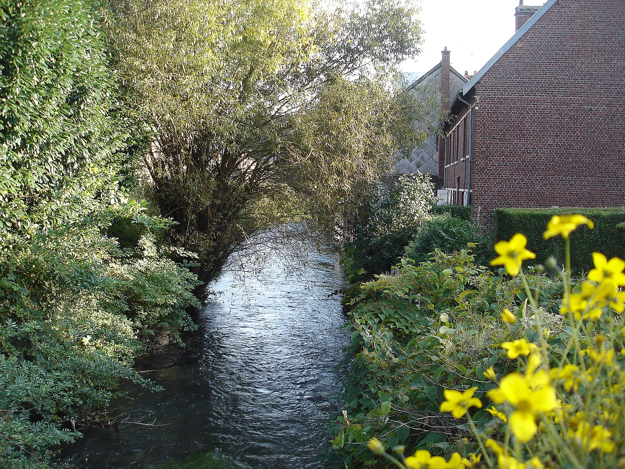
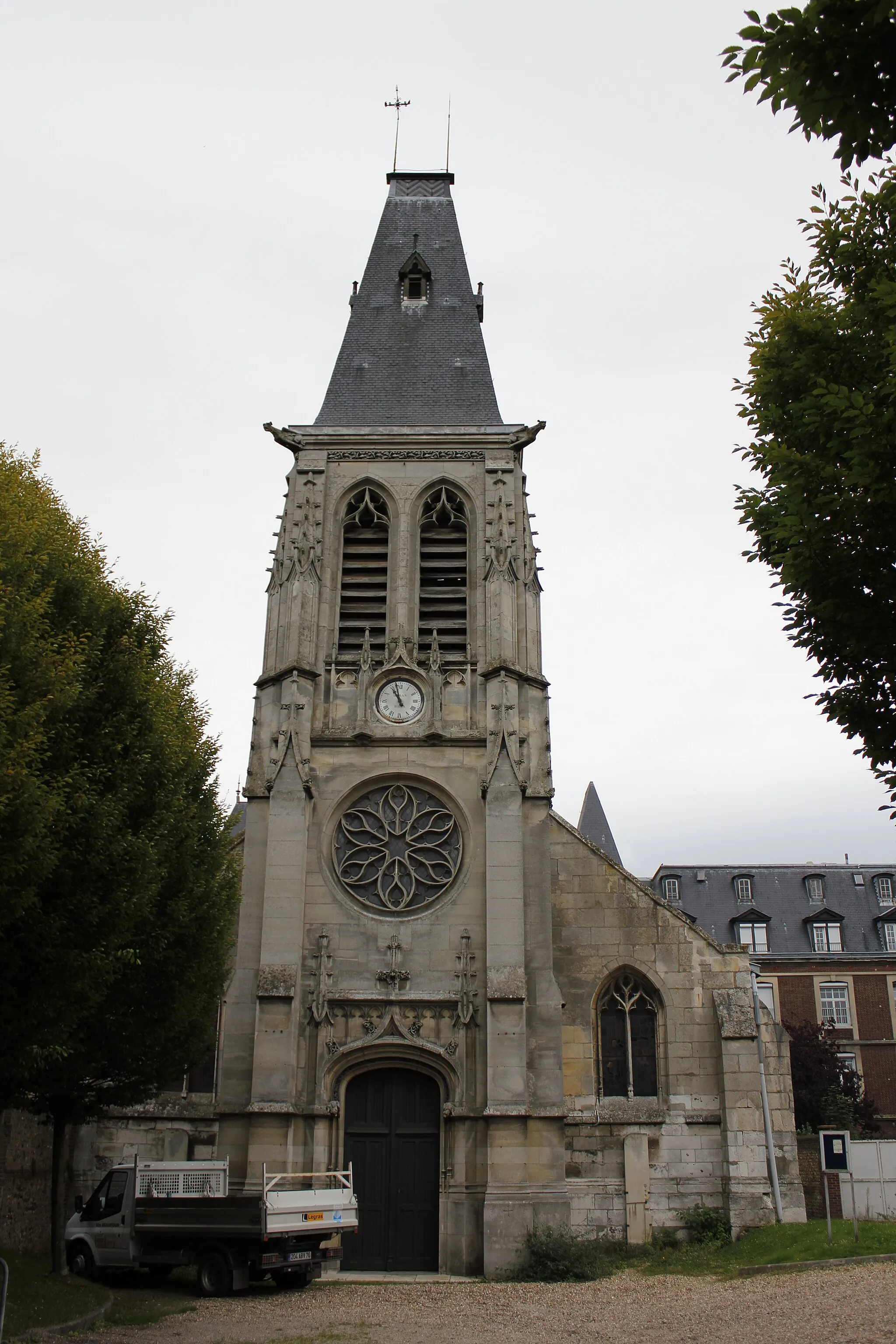
Le Houlme, situated in the Haute-Normandie region of France, offers a variety of cycling routes for both road and gravel cyclists. The picturesque landscapes and quiet country roads make it a peaceful and scenic location for cycling. While there may not be any famous climbs nearby, Le Houlme provides opportunities for cyclists to explore the countryside and enjoy a relaxing ride.
Le Houlme Loop
Enjoy a scenic road cycling journey starting from Le Houlme
Embark on a picturesque road cycling adventure that starts near Le Houlme. This route offers breathtaking views of the Haute-Normandie region, with various highlights along the way. The total distance of the route is 84 kilometers, providing the perfect balance between a challenging ride and an enjoyable experience. With a total ascent of 696 meters, cyclists can expect some moderate climbing sections that will put their skills to the test. The Le Houlme Loop is an ideal choice for well-trained amateur cyclists looking to explore the stunning landscapes of Haute-Normandie.
Conquer challenging climbs and admire the beautiful nature on this road cycling route near Le Houlme.
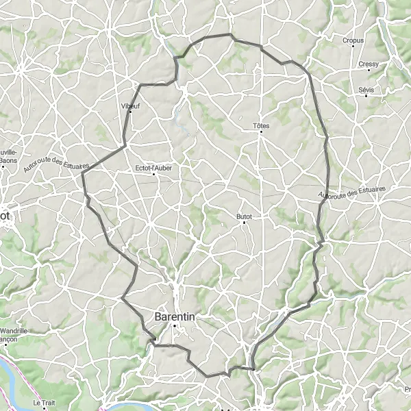
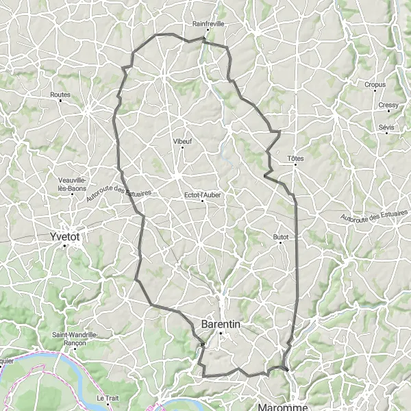
This road cycling route offers challenging climbs and beautiful natural scenery near Le Houlme. With an ascent of 691m and a distance of 93km, this route will push your limits and reward you with breathtaking views. The highlights along the route include Saint-Jean-du-Cardonnay, Croix-Mare, Brametot, Calleville-les-Deux-Églises, and Malaunay. These areas are known for their stunning landscapes, lush greenery, and tranquility. Advanced cyclists will enjoy the well-paved roads, mountainous climbs, and the opportunity to immerse themselves in nature on this epic route.
Conquer challenging hills while exploring the historic villages near Le Houlme on this road cycling route.
This road cycling route offers a challenging adventure through the hills and historic villages near Le Houlme. With a demanding ascent of 966m and a distance of 102km, this route is suitable for experienced cyclists looking for a thrilling ride. The highlights along the route include Malaunay, Saint-Germain-sous-Cailly, La Chapelle-Saint-Ouen, Le Tronquay, Fresne-le-Plan, Darnétal, and Notre-Dame-de-Bondeville. These villages and towns are known for their rich history, preserved architecture, and natural beauty. Cyclists will be rewarded with breathtaking views, historic landmarks, and a sense of accomplishment on this challenging route.
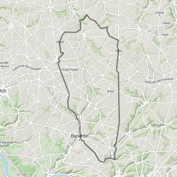
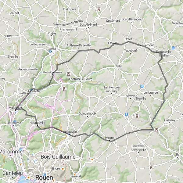
Scenic Loop to Auffay

Embark on a picturesque road cycling adventure to Auffay, passing through beautiful countryside near Le Houlme.
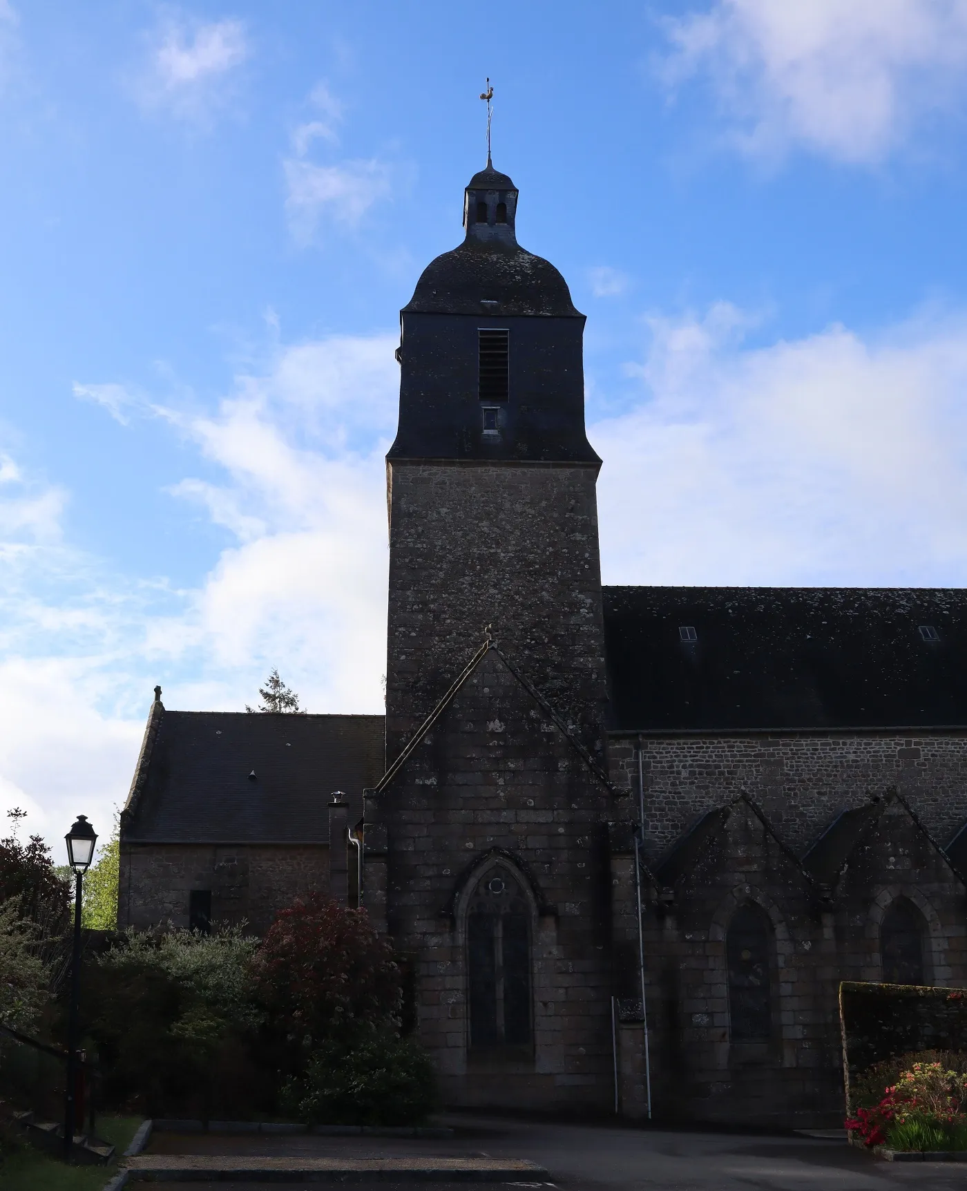
This road cycling route takes you on a scenic loop to the village of Auffay and its surroundings. With a challenging ascent of 624m and a distance of 81km, this route will test your endurance and provide rewarding views along the way. The highlights along the route include Fresquiennes, Beautot, Auffay, Saint-Hellier, Critot, and Le Houlme itself. These areas are famous for their rustic charm, rolling countryside, and historic architecture. Intermediate to advanced cyclists will appreciate the beautiful landscapes and challenging terrain of this route.
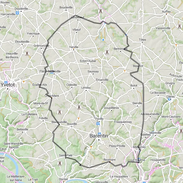
Discover the quaint villages and scenic beauty near Le Houlme on this road cycling route with moderate difficulty.
This road cycling route takes you through the quaint villages and scenic countryside near Le Houlme. With a moderate ascent of 565m and a distance of 79km, this route offers a balance of challenge and enjoyment. The highlights along the route include Saint-Jean-du-Cardonnay, Blacqueville, Criquetot-sur-Ouville, Beautot, and Le Houlme. These villages are known for their idyllic charm, rustic beauty, and peaceful atmosphere. Intermediate cyclists will appreciate the picturesque landscapes, charming architecture, and cultural attractions of this route.
Explore the picturesque villages of Pavilly on this scenic road cycling route near Le Houlme
This road cycling route takes you through the charming villages of Pavilly and surrounding areas. With a moderate ascent of 447m and a distance of 69km, the route offers a great mix of rolling hills and flat stretches. The highlights along the route include Pavilly, Limésy, Yerville, Saint-Pierre-Bénouville, Beautot, and Malaunay. These towns are known for their beautiful architecture, historic landmarks, and stunning landscapes. Suitable for intermediate cyclists, this route is a perfect choice to discover the hidden gems of Haute-Normandie.
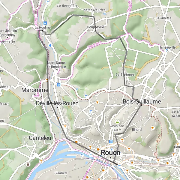
Explore the tranquil paths from Le Houlme to Notre-Dame-de-Bondeville
This 27 km round-trip cycling route offers a tranquil journey from LeHoulme to Notre-Dame-de-Bondeville. With a manageable ascent of 275 m, the route is suitable for all levels of cyclists. The difficulty level is rated as 1 out of 5, allowing beginners to enjoy a relaxing ride through the peaceful countryside. The epicness level is 2 out of 5, offering a pleasant cycling experience without any extraordinary features. Immerse yourself in the natural beauty of the region as you pedal through Bois-Guillaume and Mont Fortin. Panorama de Mont-Saint-Aignan provides stunning vistas of the surrounding landscape before reaching the picturesque Notre-Dame-de-Bondeville.
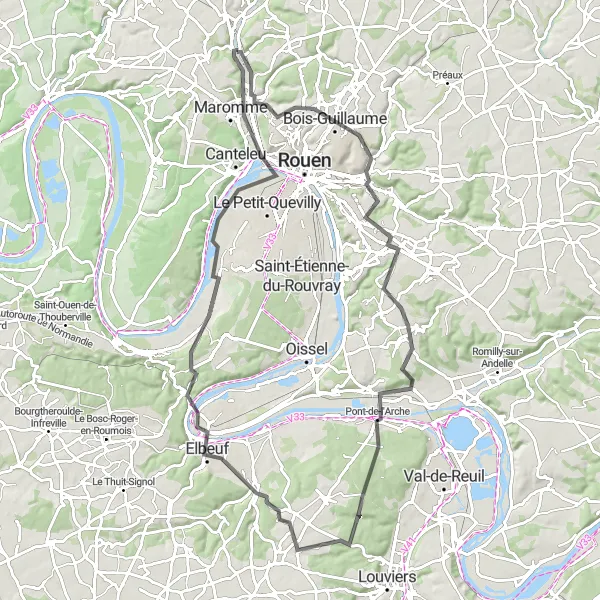
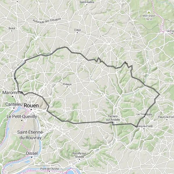
Experience a challenging ride with breathtaking views on this circuit starting from Le Houlme.
Embark on a challenging cycling adventure with this 87 km round-trip route from Le Houlme. With an ascent of 739 meters, this route is perfect for experienced cyclists looking for a thrill. The route takes you through Mont-Saint-Aignan, where you can enjoy panoramic views of the surrounding countryside. Pass through Darnétal and Alizay before reaching Elbeuf, known for its stunning medieval bridge. Make a stop at Grand-Couronne and admire the impressive Church of Notre-Dame before heading back to Le Houlme through Déville-lès-Rouen.
Malaunay Loop
Experience the charming town of Malaunay
This round-trip cycling route starting near Le Houlme takes you through picturesque landscapes and small towns. With a moderate ascent of 463 meters and a total distance of 61 kilometers, it is suitable for well-trained amateur cyclists. The route offers a delightful blend of natural beauty and cultural highlights along the way.
Le Houlme to Bonsecours
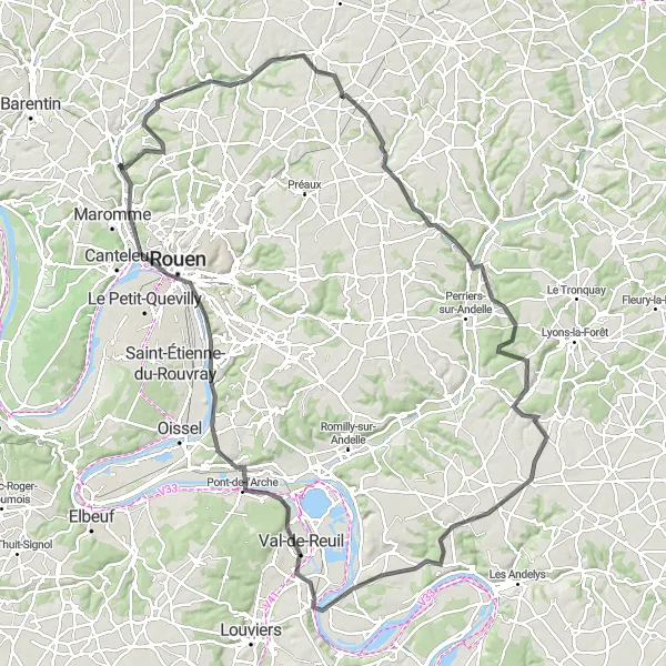
Explore the beautiful countryside from Le Houlme to Bonsecours
This round-trip cycling route starts in Le Houlme and takes you through picturesque villages and scenic landscapes. With a total distance of 122 km and an ascent of 924 m, this route is suitable for well-trained amateur cyclists. The difficulty is rated as 3 out of 5, providing a good challenge without being overly strenuous. The epicness level is 3 out of 5, offering a rewarding cycling experience without any legendary climbs or famous cycling spots. Cycling enthusiasts will enjoy the peaceful and charming atmosphere, surrounded by the natural beauty of Haute-Normandie.
Cycling routes nearby:


Nearby regions: