Léry - Table d'orientation de la cote des deux amants
A road cycling route starting from Lery
Panoramic views from the Table d'Orientation on the coast of the two lovers
Map
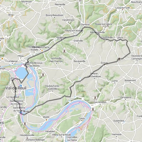
This route takes you through the beautiful countryside near Léry, offering stunning views from the Table d'Orientation de la cote des deux amants. With a total distance of 64 km and an ascent of 246 m, it provides a moderate challenge for well-trained amateur cyclists. The route is suitable for road bikes and has a score of 3 in difficulty and 4 in epicness.
road
64 km
246 m
Tough
Route profile
Highlights on the route
0 km
0 km
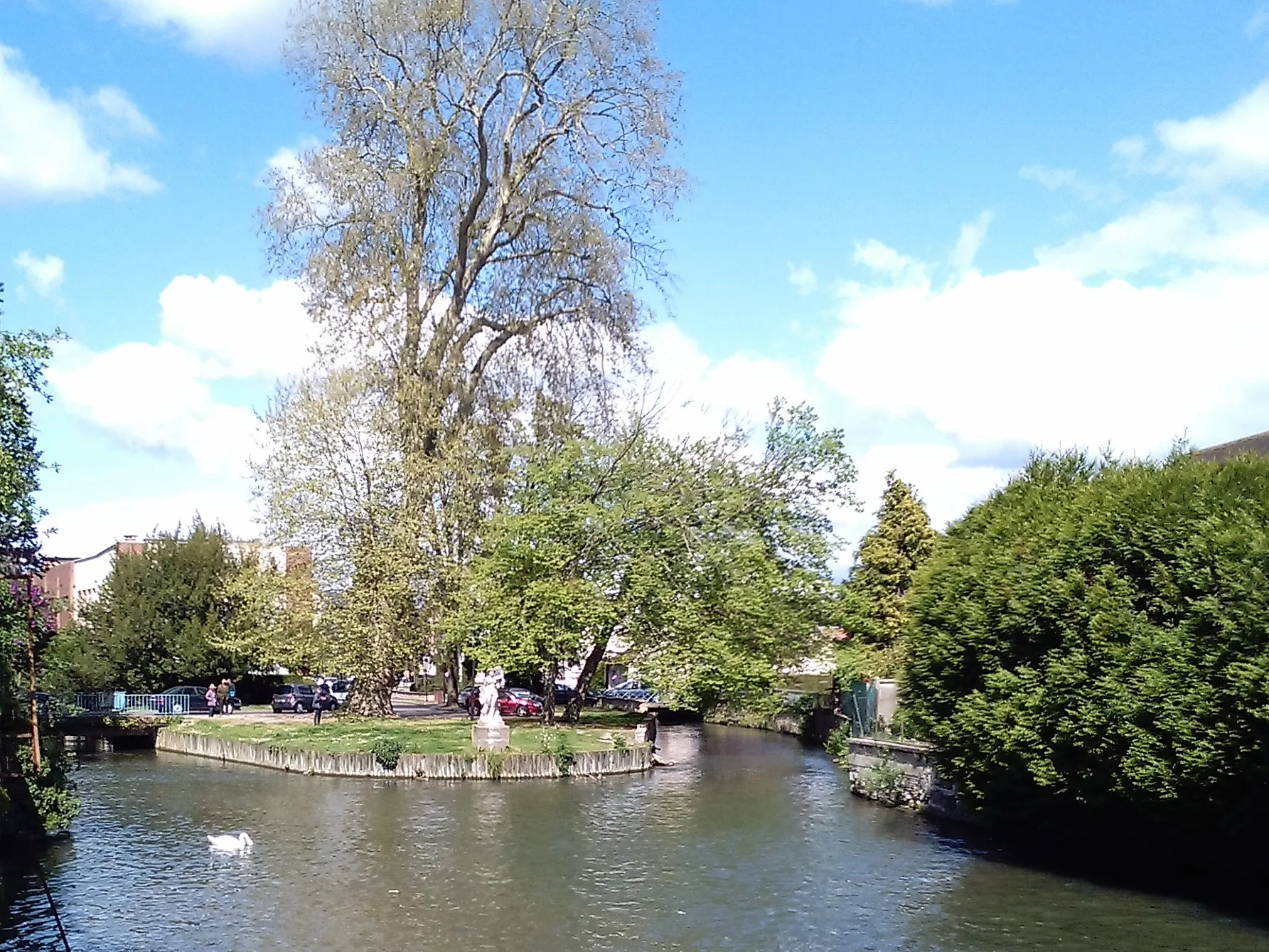
Start: Léry Village centerLéry: Serene landscapes and challenging climbs in France
Léry in Haute-Normandie, France is a hidden gem for road and gravel cyclists. The area offers a mix of flat and hilly terrains, providing a variety of cycling experiences. Cyclists can ride through charming villages, lush forests, and along the banks of the Seine River. Léry is located near the famous Les 2 Amants climb, which offers a challenging ascent and rewards riders with panoramic views of the surrounding countryside. With its peaceful atmosphere and scenic beauty, Léry is a perfect getaway for cycling enthusiasts.7 km
7 km
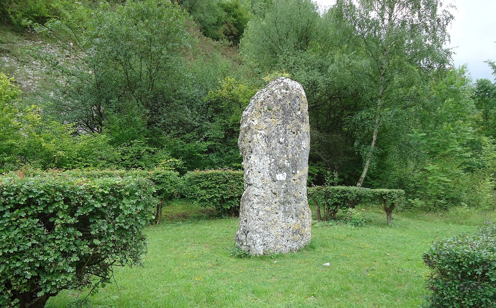
Table d'orientation de la cote des deux amantsViewpointThe Table d'Orientation de la cote des deux amants offers breathtaking panoramic views of the surrounding countryside and is a popular spot for local tourists.
13 km
13 km
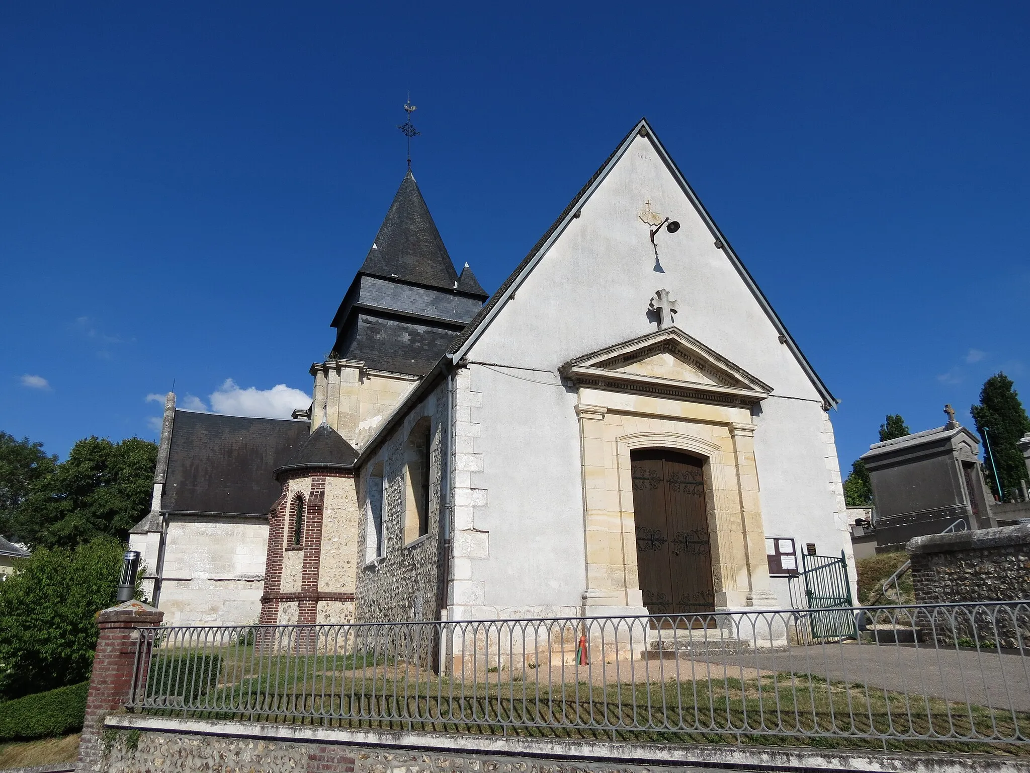
Douville-sur-AndelleVillageDouville-sur-Andelle is a charming village known for its picturesque landscape and peaceful atmosphere.
25 km
25 km
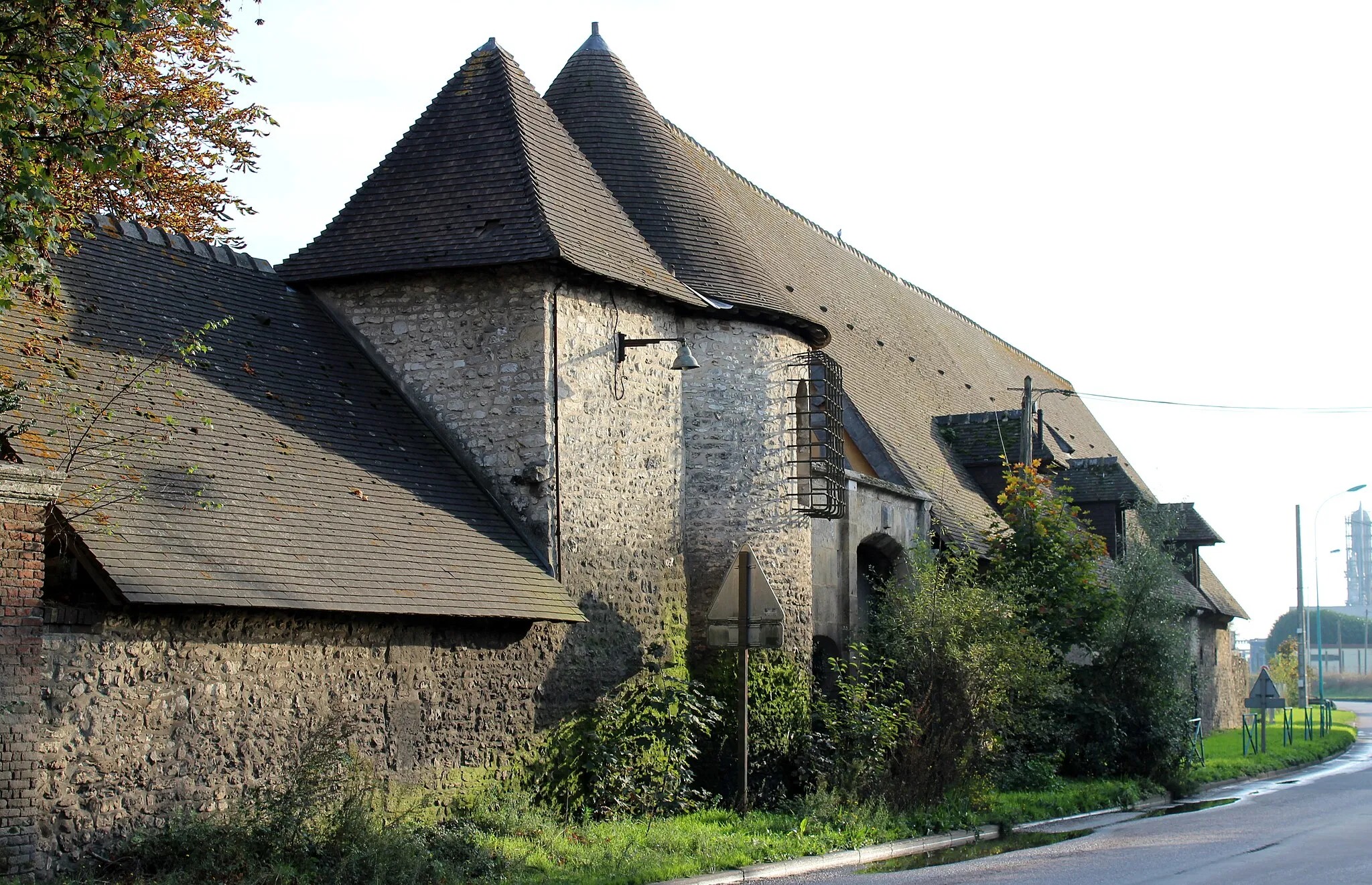
TouffrevilleVillageTouffreville is a small village with traditional Normandy architecture and quaint streets.
37 km
37 km
ÉcouisVillageÉcouis is home to the historic Écouis Castle, dating back to the 11th century.
54 km
54 km
HerquevilleVillageHerqueville is a scenic village located on the banks of the Seine River, offering lovely views and a tranquil ambiance.
63 km
63 km
Val-de-ReuilTownVal-de-Reuil is a modern town with a rich industrial heritage and a vibrant cultural scene.
64 km
64 km
Finish: Léry Village centerLéry: Serene landscapes and challenging climbs in France
Cycling routes from Lery:
Scenic Views and Architectural Marvels Léry - Table d'orientation de la cote des deux amants Exploring Gravel Terrain and Natural Beauty The Two Lovers' Coast Loop Léry - Le Boulay-Morin Challenging Gravel Adventure with Stunning Surroundings Léry - Criquebeuf-sur-Seine Thrilling Gravel Terrain and Riverside Beauty Léry - Château de Val-Freneuse Léry - Île du Roy
Cycling routes nearby: