Léry - Île du Roy
A road cycling route starting from Lery
Embark on an adventurous journey to Île du Roy near Léry
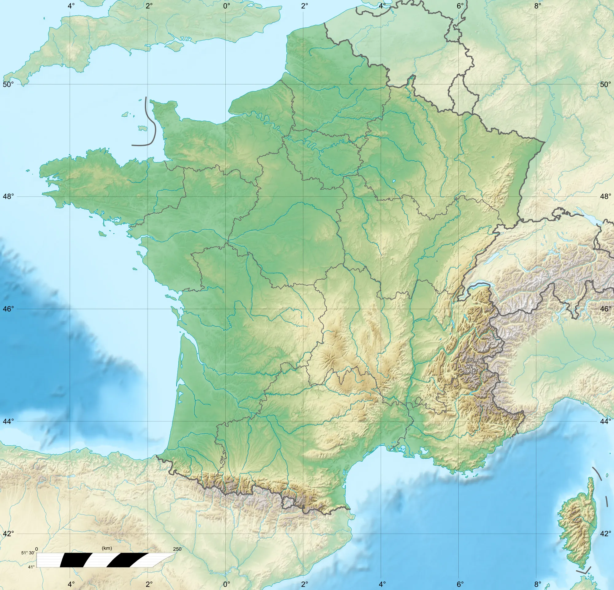
Map
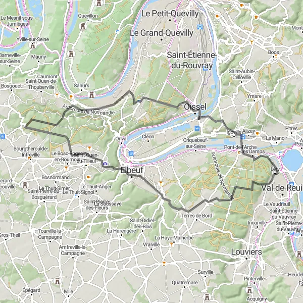
This road cycling route offers an exciting journey through the picturesque landscapes surrounding Léry, leading you to the mesmerizing Île du Roy. With an ascent of 648 m and a distance of 66 km, this route is ideal for experienced cyclists seeking a challenging ride. It boasts a difficulty score of 5 and an epicness score of 4.
road
66 km
648 m
Savage
Route profile
Highlights on the route
0 km
0 km
Start: Léry Village centerLéry: Serene landscapes and challenging climbs in France
Léry in Haute-Normandie, France is a hidden gem for road and gravel cyclists. The area offers a mix of flat and hilly terrains, providing a variety of cycling experiences. Cyclists can ride through charming villages, lush forests, and along the banks of the Seine River. Léry is located near the famous Les 2 Amants climb, which offers a challenging ascent and rewards riders with panoramic views of the surrounding countryside. With its peaceful atmosphere and scenic beauty, Léry is a perfect getaway for cycling enthusiasts.9 km
9 km
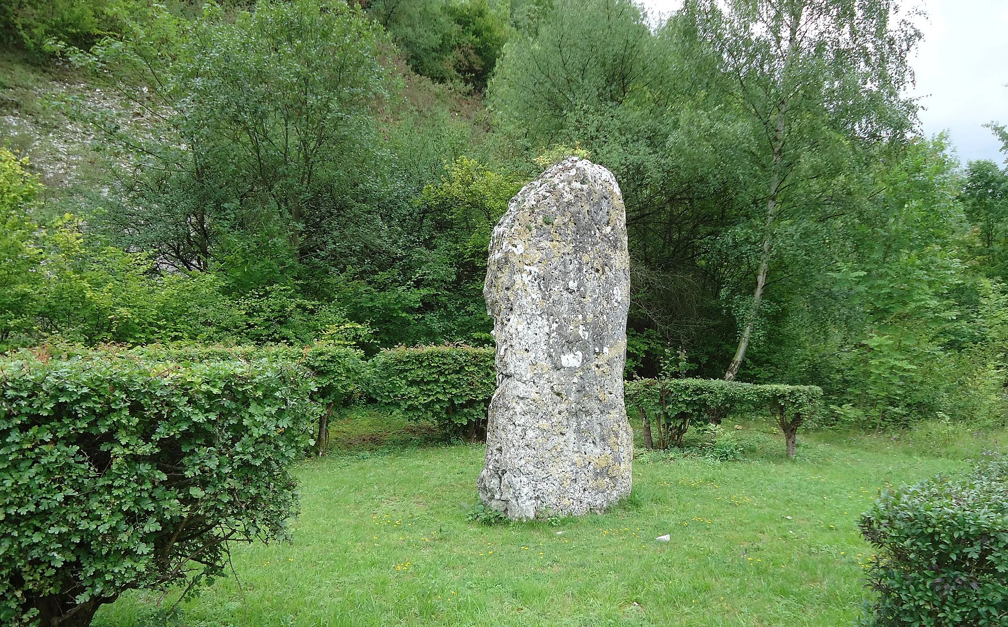
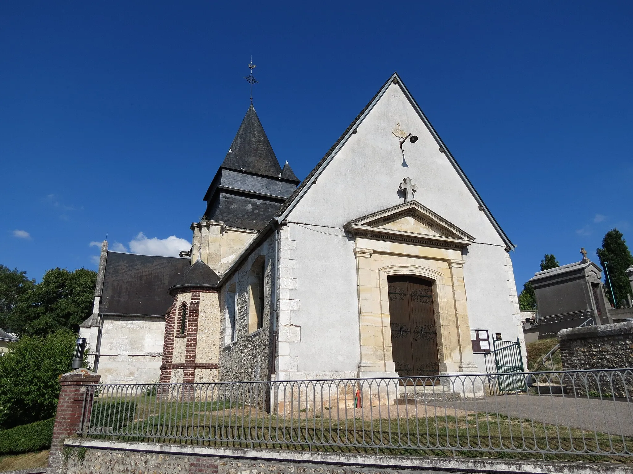
TostesHamletTostes is a peaceful village known for its beautiful church and charming country views.
17 km
17 km
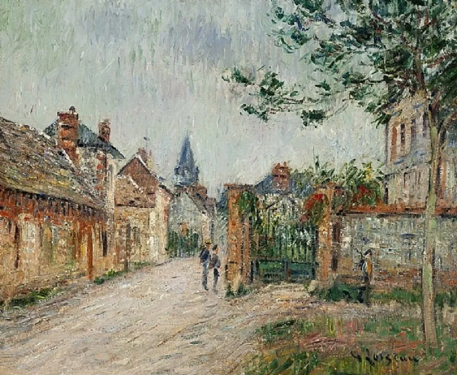
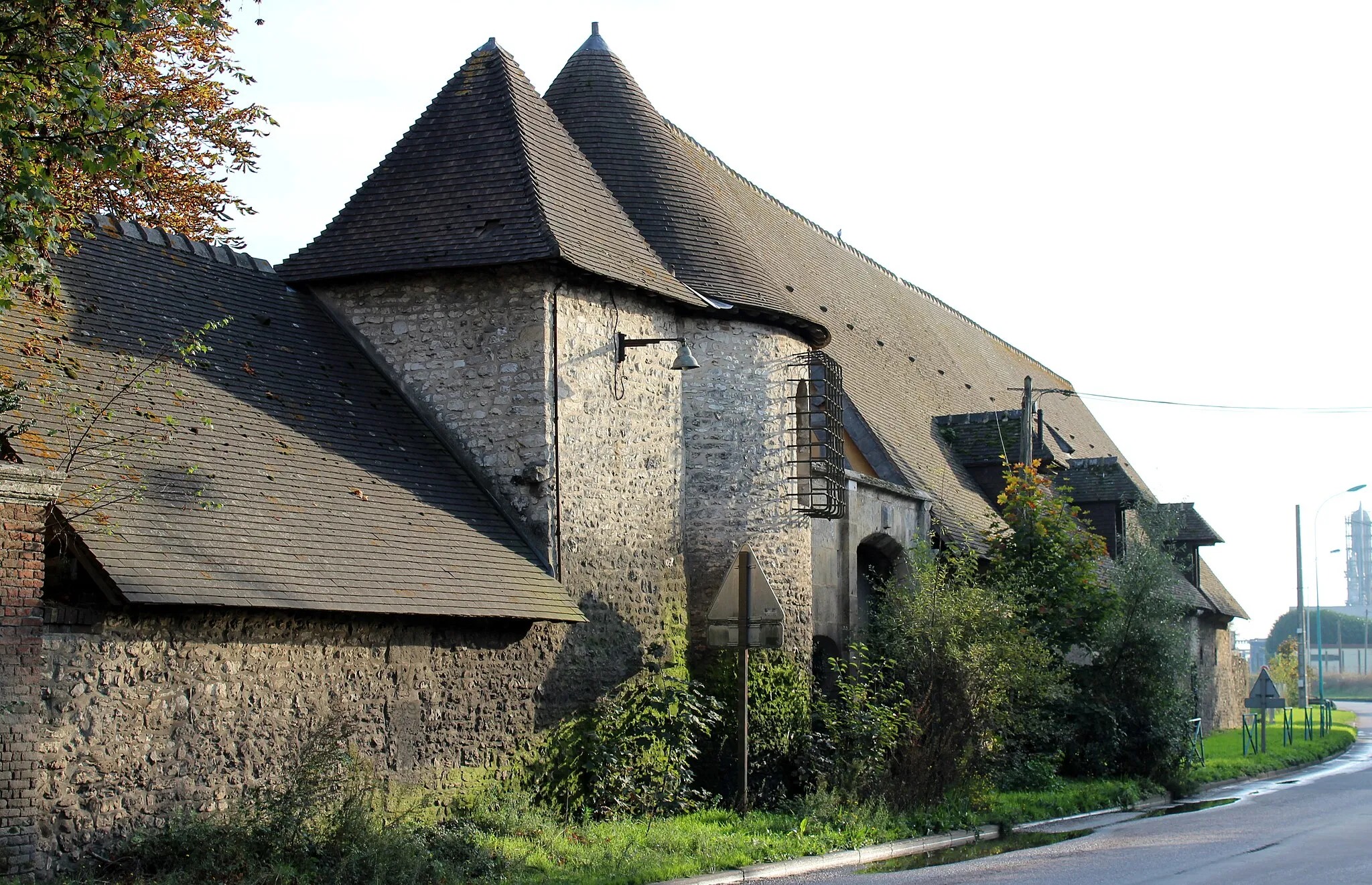
Caudebec-lès-ElbeufVillageCaudebec-lès-Elbeuf is a historic town situated along the banks of the Seine River, offering scenic views and cultural landmarks.
24 km
24 km
La LondeVillageLa Londe is a small village that is surrounded by lush forests, making it a perfect place for nature enthusiasts.
40 km
40 km
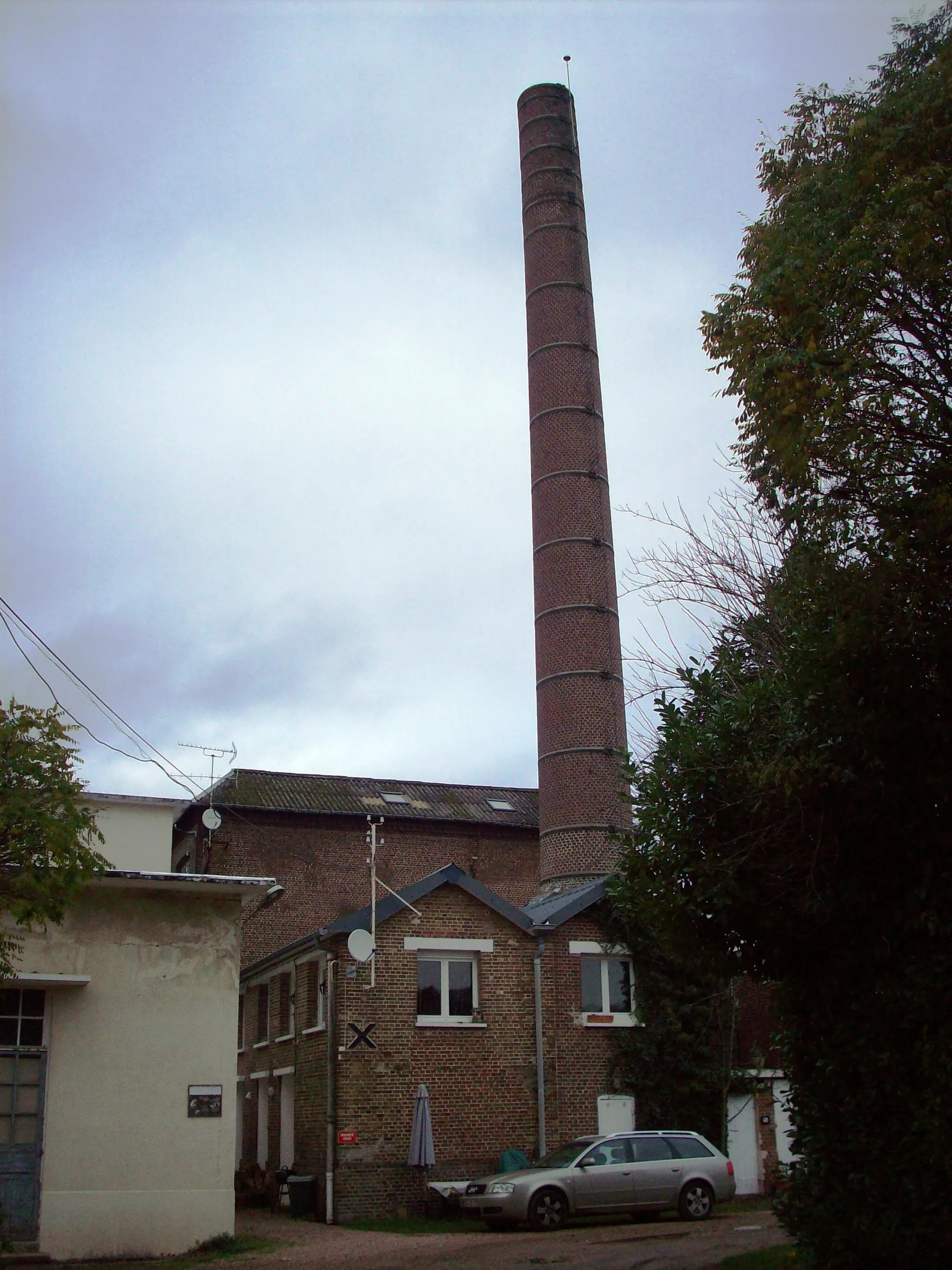
MoulineauxVillageMoulineaux is a quaint village located near the Seine River, famous for its stunning viewpoints and peaceful ambiance.
52 km
52 km
Mairie OisselViewpointMairie Oissel is a beautiful municipal building located in the heart of the town, showcasing impressive architectural design.
59 km
59 km
IgovilleVillageIgoville is a charming village with traditional Norman houses and spectacular views over the Seine Valley.
66 km
66 km
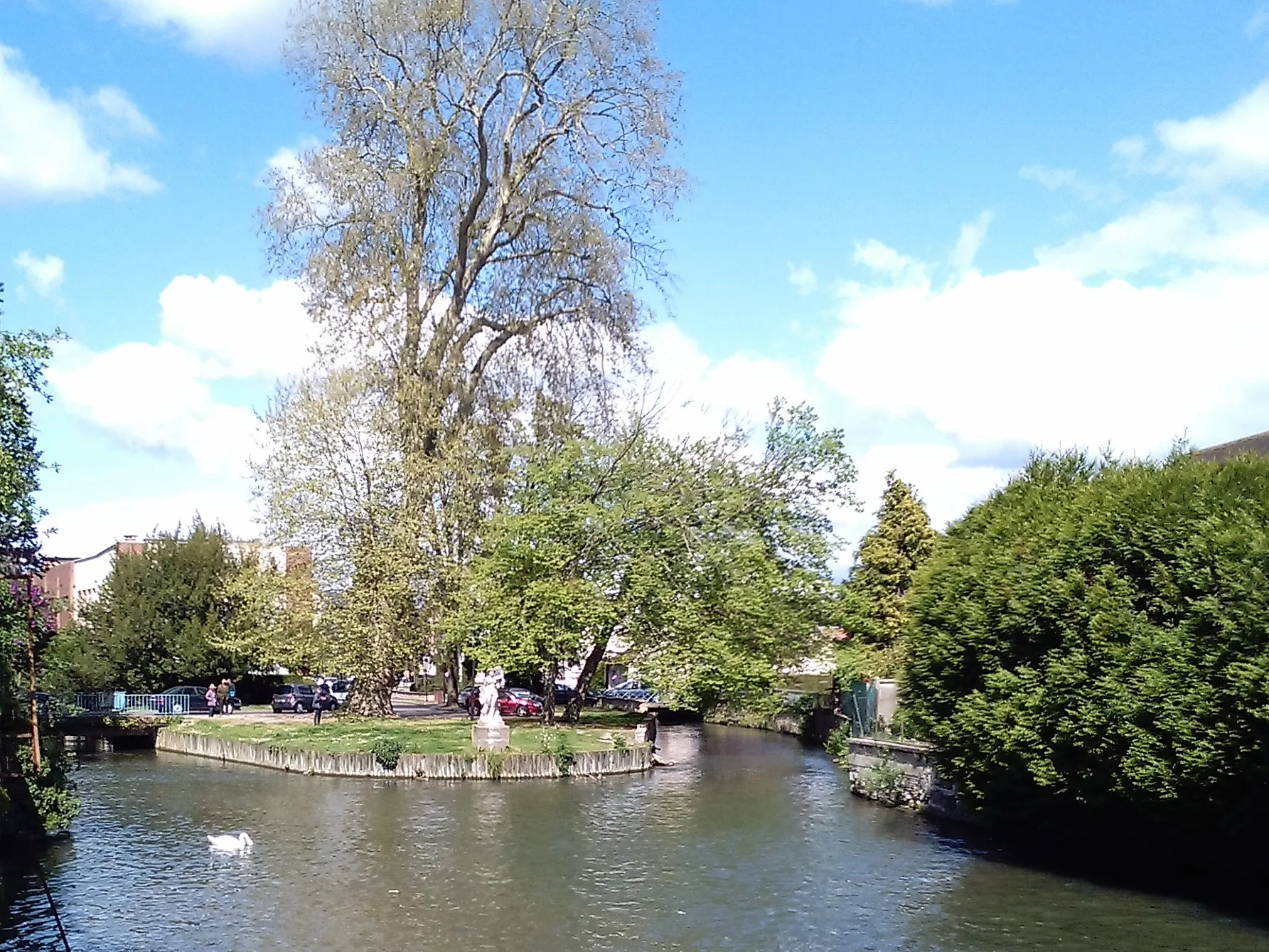
Île du RoyIslandÎle du Roy is a small island on the Seine River, known for its rich biodiversity and tranquil atmosphere, making it a favorite spot for nature lovers and cyclists.
66 km
66 km
Finish: Léry Village centerLéry: Serene landscapes and challenging climbs in France
Cycling routes from Lery:
Scenic Views and Architectural Marvels Léry - Table d'orientation de la cote des deux amants Exploring Gravel Terrain and Natural Beauty The Two Lovers' Coast Loop Léry - Le Boulay-Morin Challenging Gravel Adventure with Stunning Surroundings Léry - Criquebeuf-sur-Seine Thrilling Gravel Terrain and Riverside Beauty Léry - Château de Val-Freneuse Léry - Île du Roy
Cycling routes nearby: