Montivilliers to Château d'Orcher Round-trip
A road cycling route starting from Montivilliers
Discover the magnificent Château d'Orcher on this captivating round-trip cycling route
Map

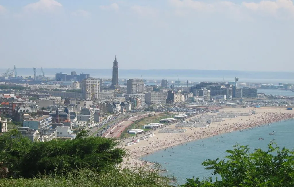
Take a 73-kilometer journey from Montivilliers to Château d'Orcher and experience the beauty of the countryside. With an ascent of 505 meters and moderate difficulty, this route is perfect for cyclists with some experience. Highlights along the way include Bolbec, Lillebonne, Château de Tancarville, and Château d'Orcher.
road
73 km
505 m
Tough
Route profile
Highlights on the route
0 km
0 km
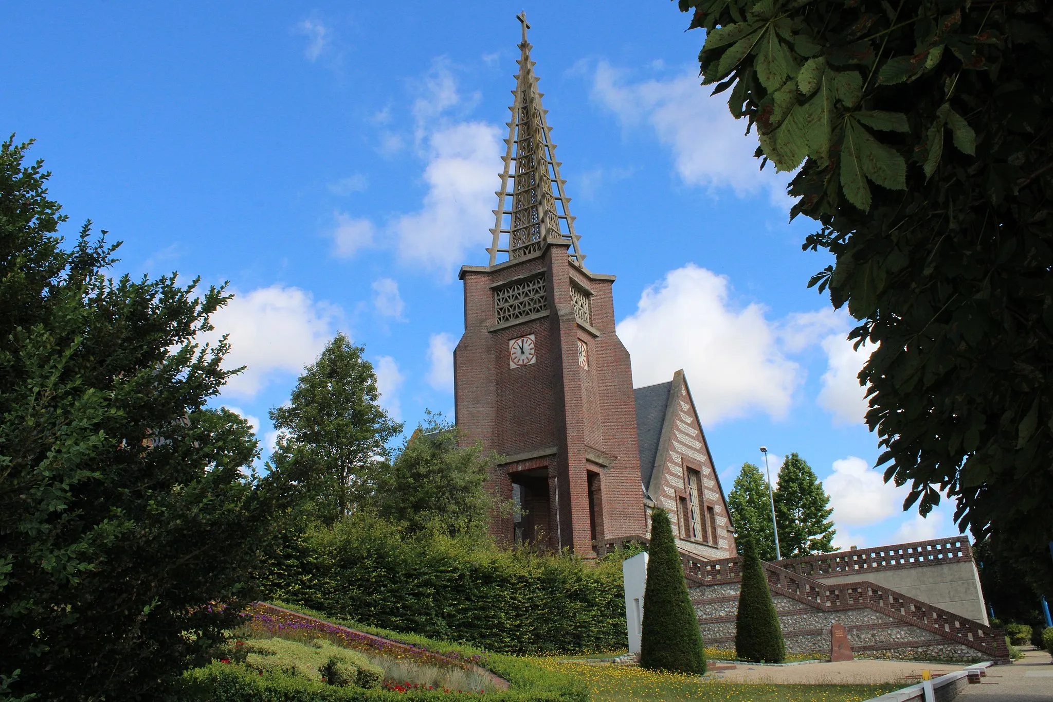
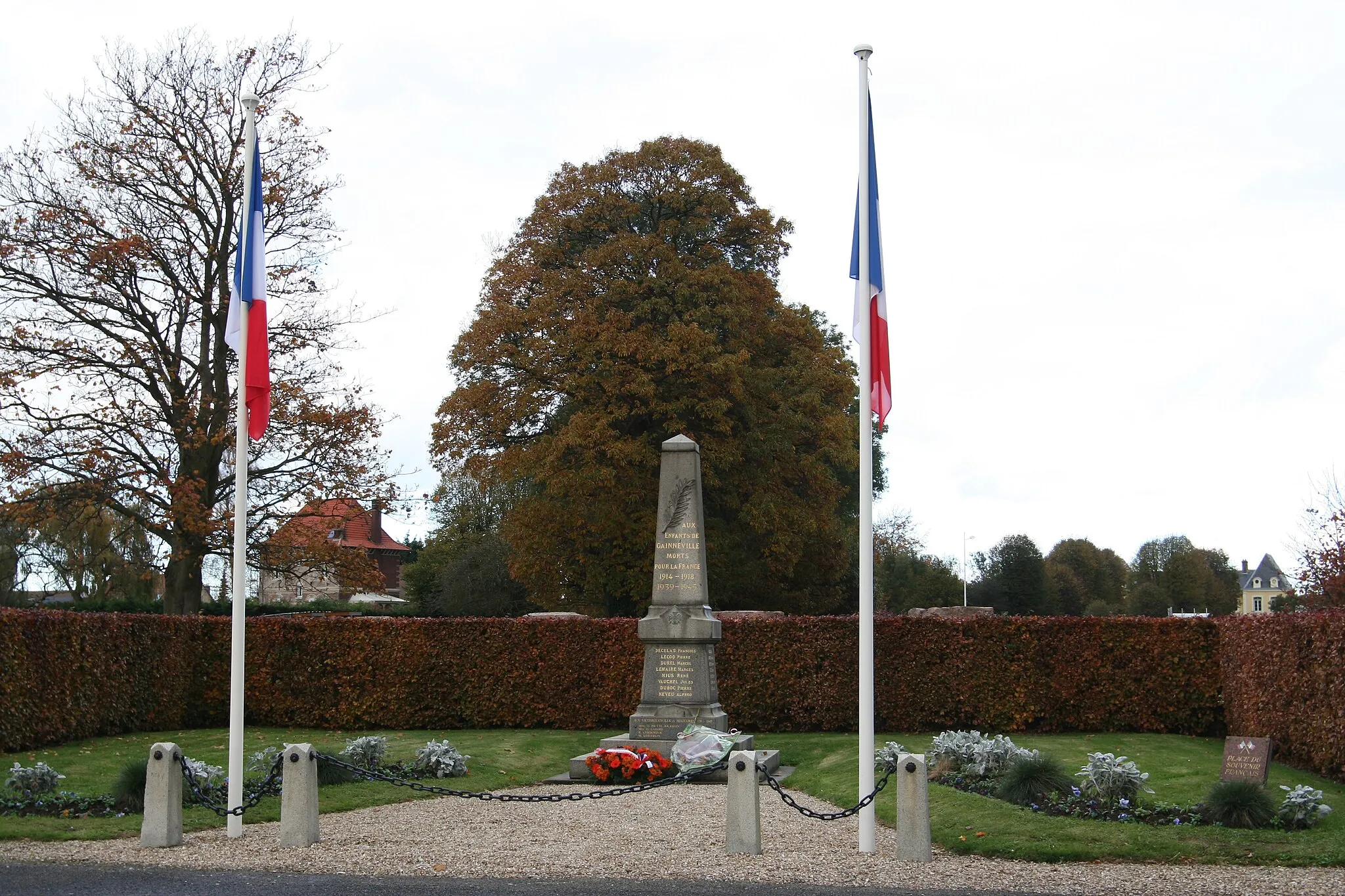
Start: Montivilliers City centerMontivilliers: Limited cycling options in Haute-Normandie
Montivilliers, situated in the Haute-Normandie region of France, offers limited cycling opportunities. The area consists mainly of urban and suburban landscapes, making it less attractive for road and gravel cyclists. While there are some routes available, Montivilliers may not be an ideal destination for cyclists seeking varied and challenging routes.9 km
9 km
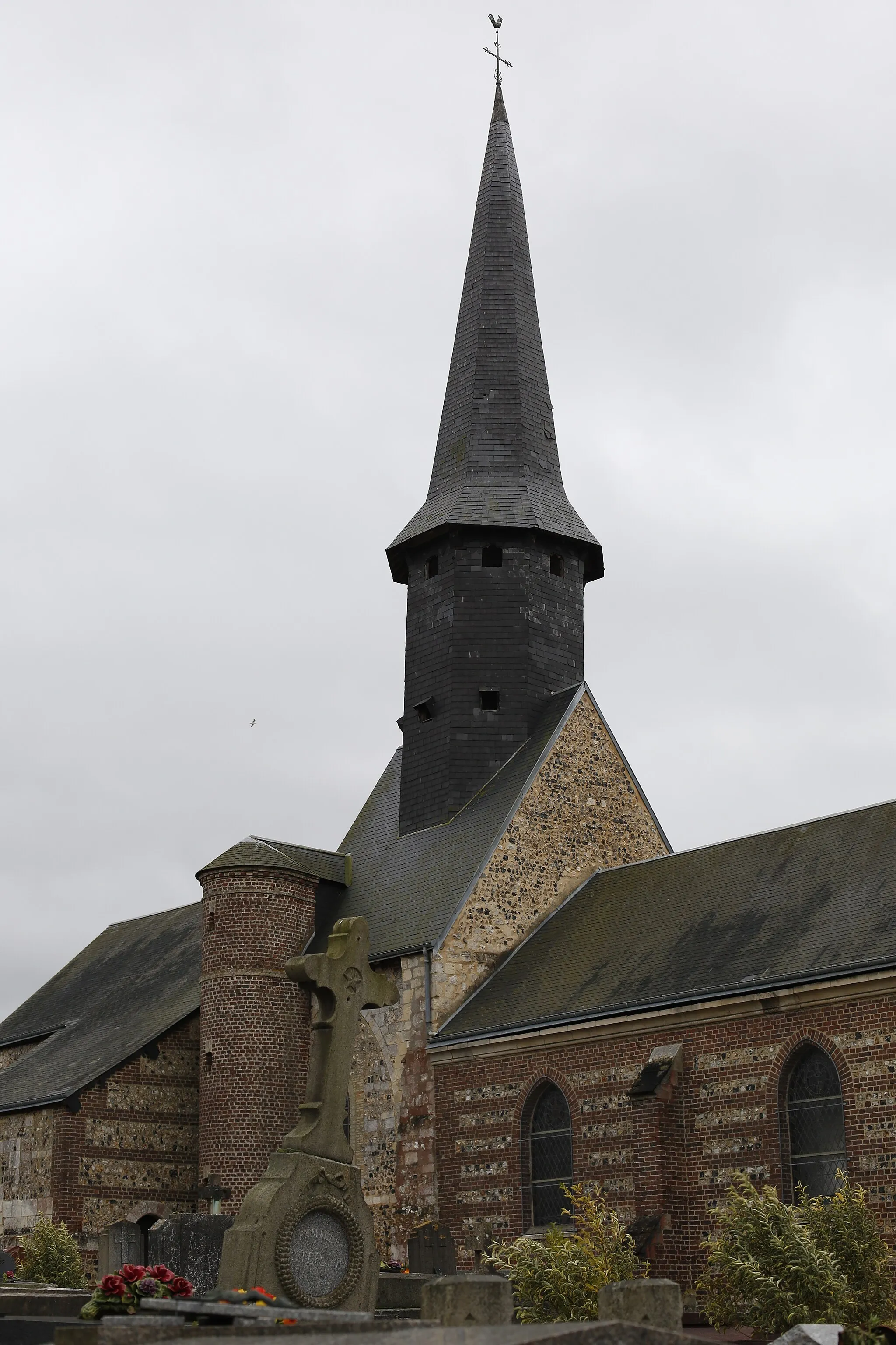
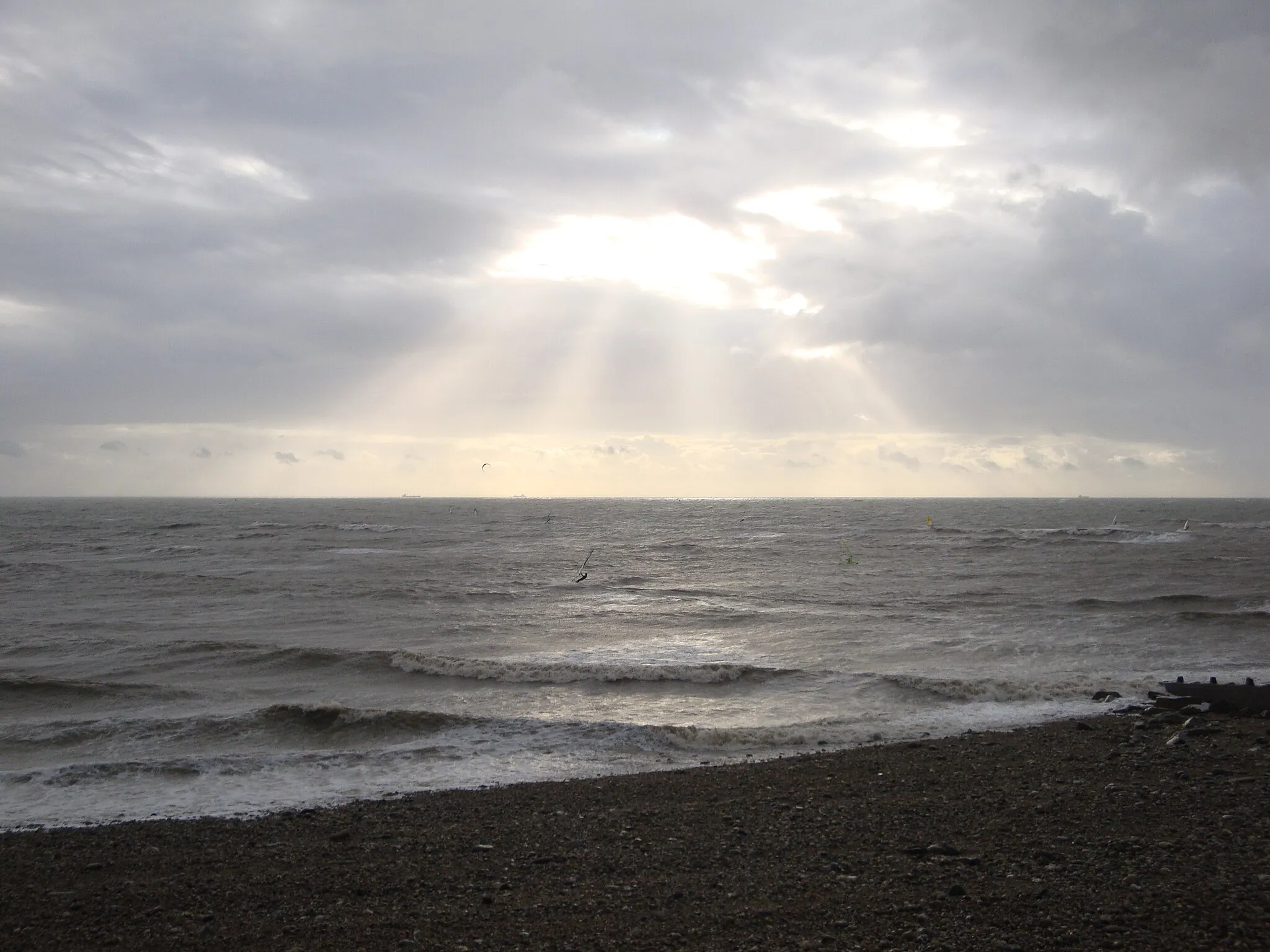
Angerville-l'OrcherVillageAngerville-l'Orcher is a small village with a picturesque old church and offers lovely views over the Seine estuary.
25 km
25 km
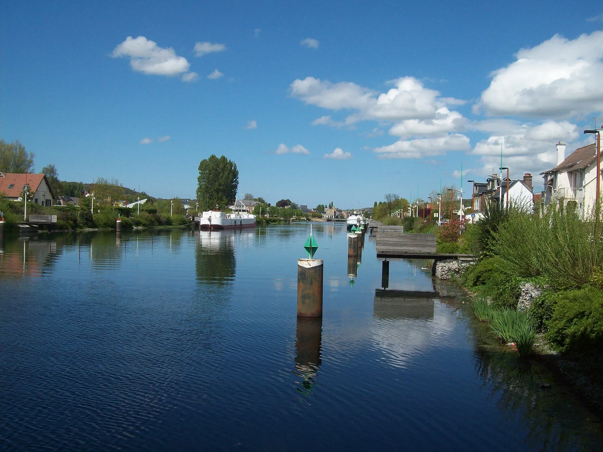
BolbecTownBolbec is a historic town known for its textile heritage, with beautiful mansions and a museum dedicated to the textile industry.
33 km
33 km
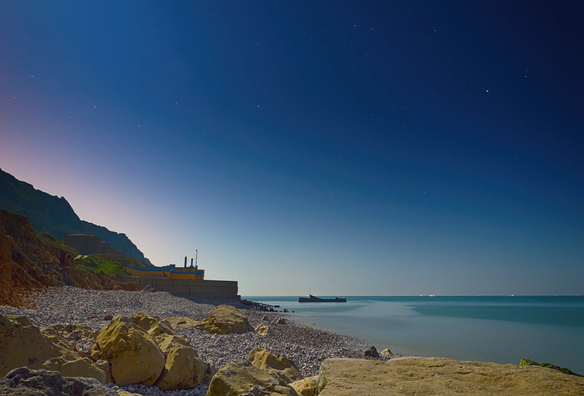
LillebonneVillageLillebonne is home to the impressive Jumièges Abbey ruins, which date back to the 7th century and are surrounded by beautiful gardens.
42 km
42 km
Château de TancarvilleCastleChâteau de Tancarville is a medieval fortress that offers guided tours, allowing you to explore its rich history and stunning architecture.
62 km
62 km
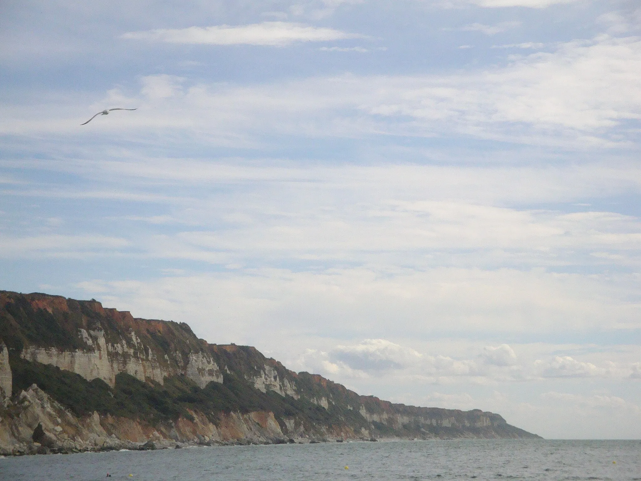
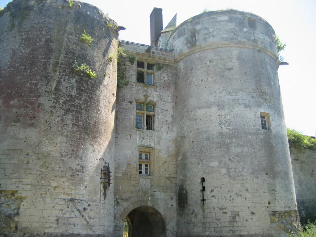
Château d'OrcherCastleChâteau d'Orcher is a majestic castle perched on a hilltop, overlooking the Seine estuary and offering breathtaking panoramic views.
73 km
73 km
Finish: Montivilliers City centerMontivilliers: Limited cycling options in Haute-Normandie
Cycling routes from Montivilliers:
Montivilliers to Mannevillette Round-trip Saint-Jouin-Bruneval Circuit Montivilliers to Château d'Orcher Round-trip Épouville Grand Circuit Gonneville-la-Mallet Circuit Montivilliers to Sainneville Round-trip Montivilliers to Épouville Round-trip Montivilliers to Goderville Round-trip Criquetot-l'Esneval to Saint-Laurent-de-Brèvedent Saint-Jouin-Bruneval to Le Tilleul
Cycling routes nearby: