Montivilliers to Goderville Round-trip
A road cycling route starting from Montivilliers
Explore the historic town of Goderville on this scenic round-trip cycling route
Map
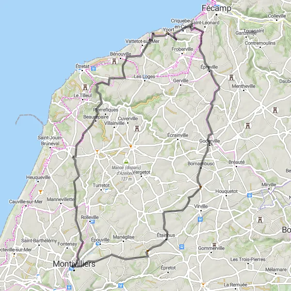
Experience the rich history and charming architecture of Goderville on this 72-kilometer round-trip route. With a moderate difficulty level and an ascent of 564 meters, this route is suitable for experienced cyclists. Along the way, you'll pass by the ancient abbaye, Beaurepaire, Criquebeuf-en-Caux, and Étainhus.
road
72 km
564 m
Tough
Route profile
Highlights on the route
0 km
0 km
Start: Montivilliers City centerMontivilliers: Limited cycling options in Haute-Normandie
Montivilliers, situated in the Haute-Normandie region of France, offers limited cycling opportunities. The area consists mainly of urban and suburban landscapes, making it less attractive for road and gravel cyclists. While there are some routes available, Montivilliers may not be an ideal destination for cyclists seeking varied and challenging routes.0 km
0 km
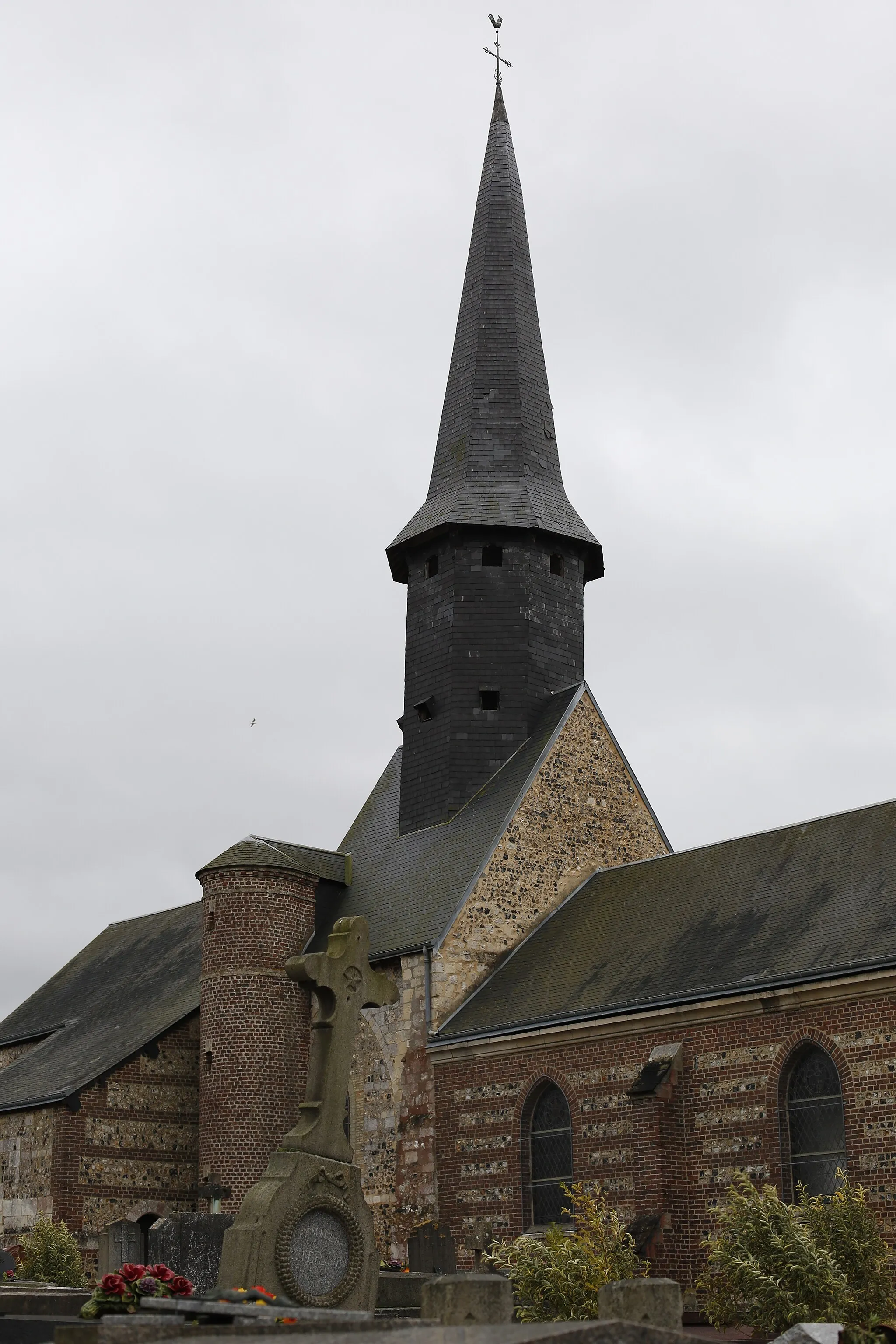
Ancienne abbayeAttractionThe ancient abbaye is a historical site dating back to the Middle Ages, offering a glimpse into the region's past.
15 km
15 km
BeaurepaireVillageBeaurepaire is a small village with a picturesque old mill and charming narrow streets to explore.
34 km
34 km
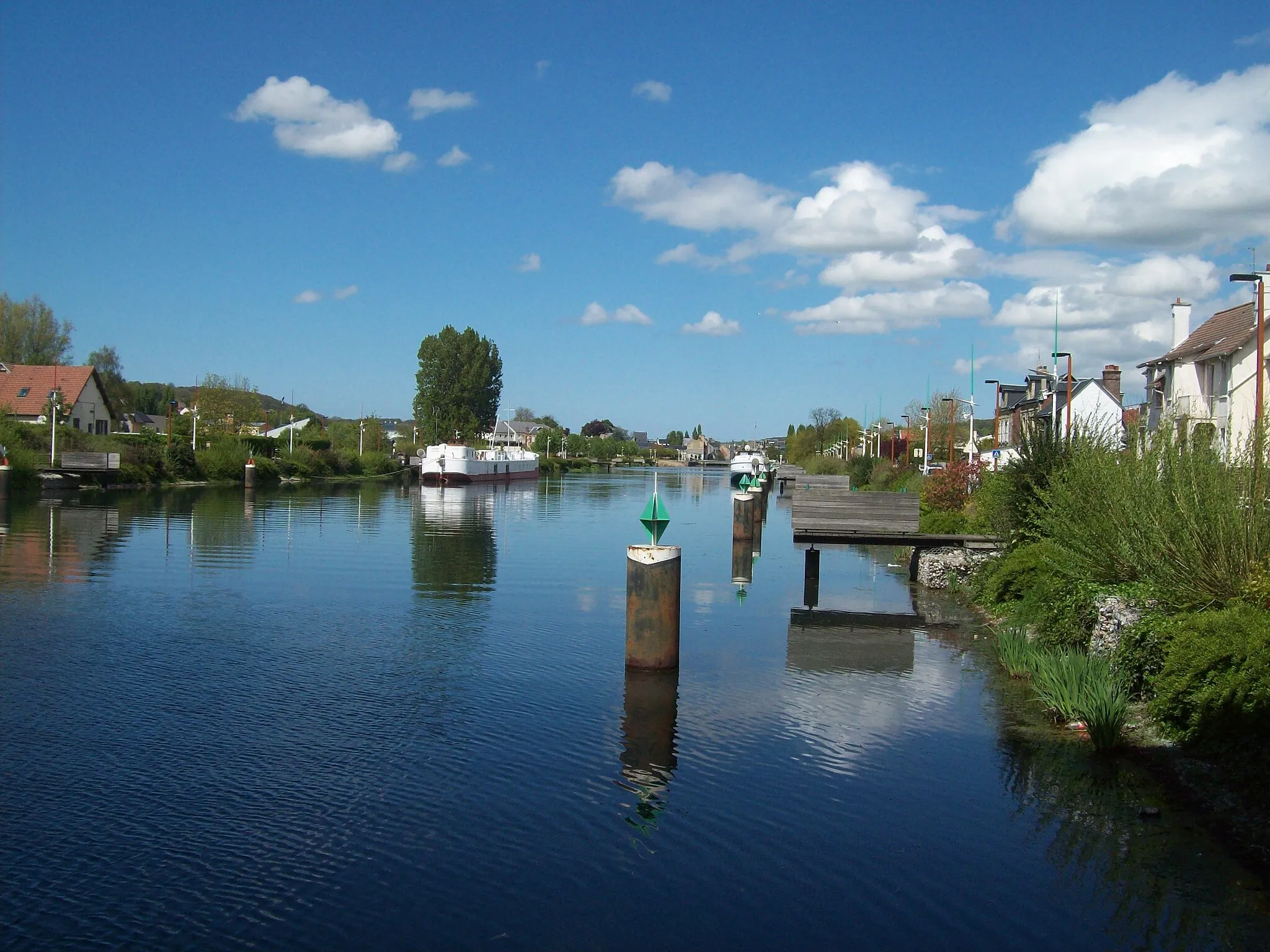
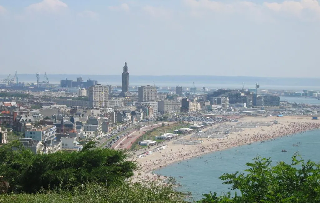
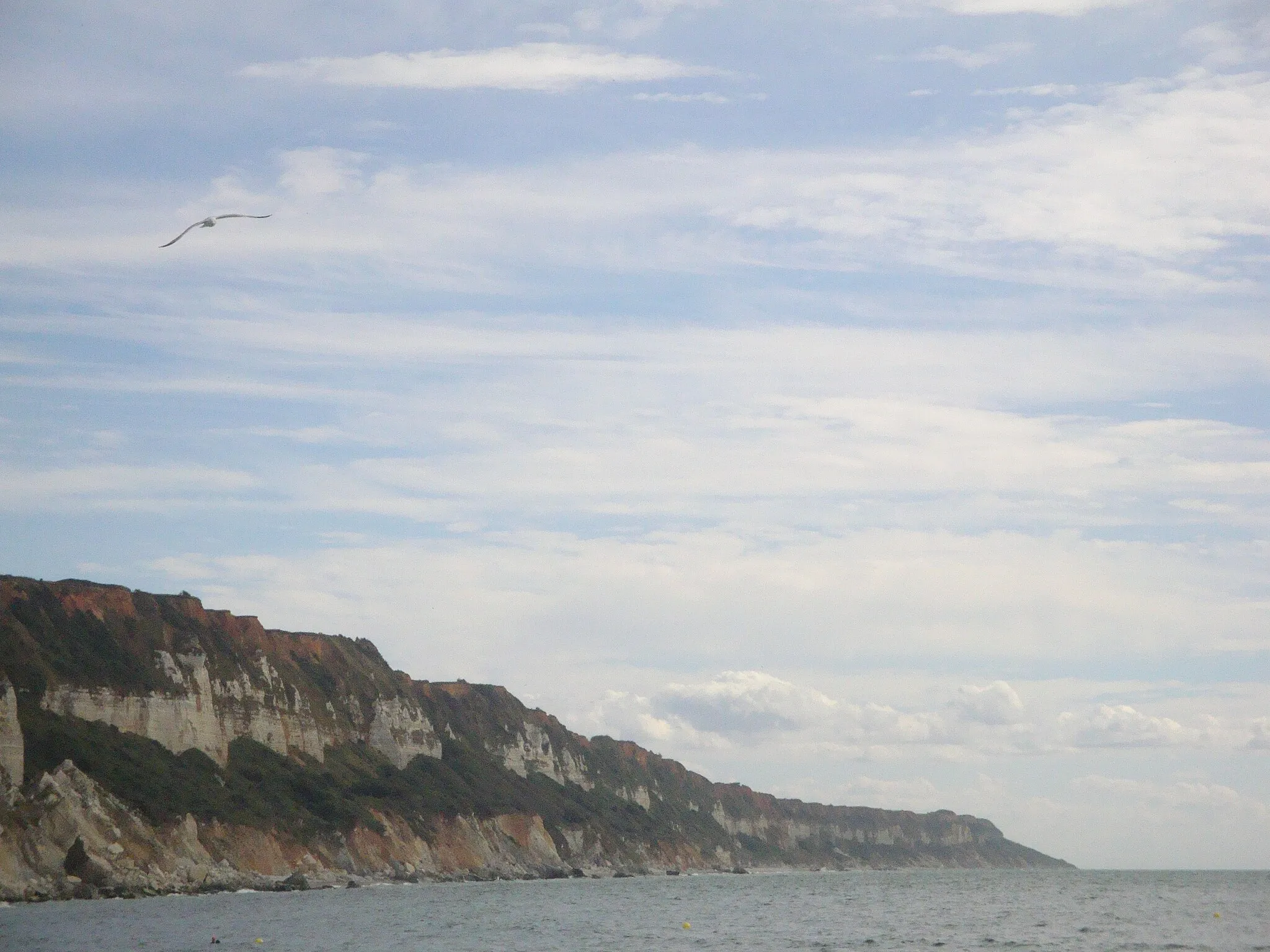
Criquebeuf-en-CauxVillageCriquebeuf-en-Caux is known for its beautiful landscapes, including rolling green hills and picturesque cottages.
49 km
49 km
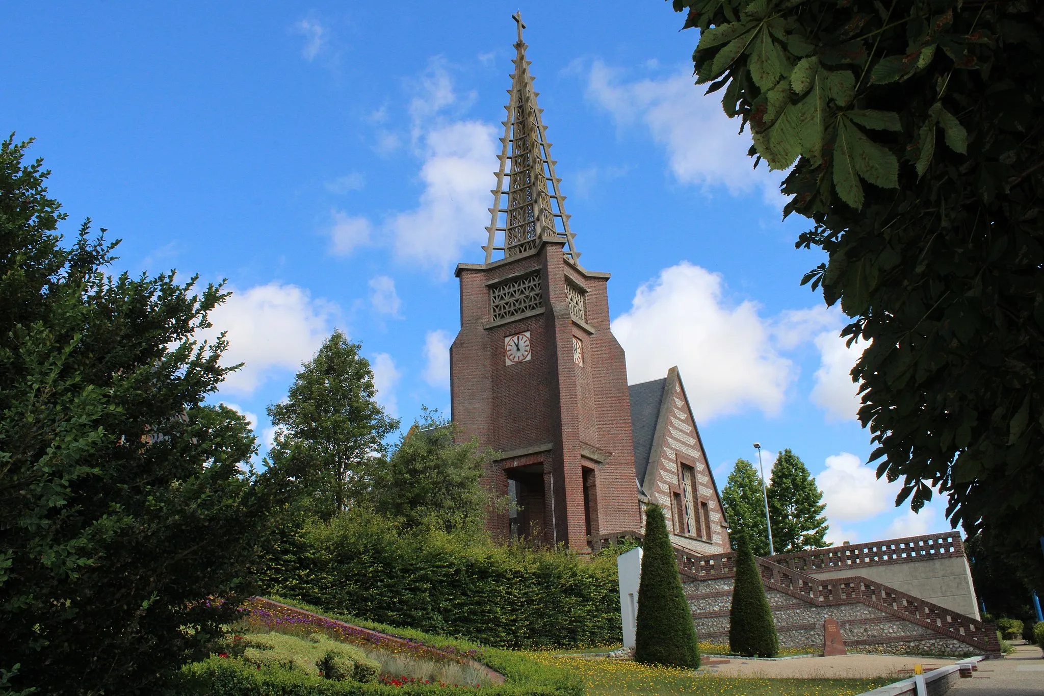
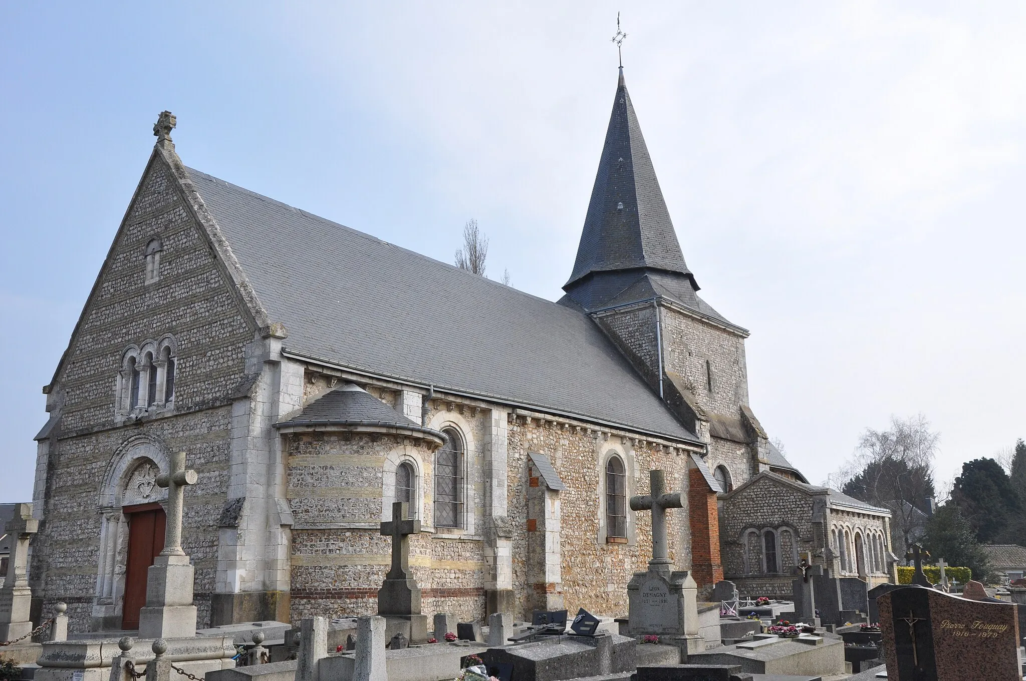
GodervilleVillageGoderville is a historic town with a rich architectural heritage, including half-timbered houses and the stunning Eglise Saint-Martin.
61 km
61 km
ÉtainhusVillageÉtainhus is a small village with limited attractions but offers a peaceful countryside setting on the route.
72 km
72 km
Finish: Montivilliers City centerMontivilliers: Limited cycling options in Haute-Normandie
Cycling routes from Montivilliers:
Montivilliers to Mannevillette Round-trip Saint-Jouin-Bruneval Circuit Montivilliers to Château d'Orcher Round-trip Épouville Grand Circuit Gonneville-la-Mallet Circuit Montivilliers to Sainneville Round-trip Montivilliers to Épouville Round-trip Montivilliers to Goderville Round-trip Criquetot-l'Esneval to Saint-Laurent-de-Brèvedent Saint-Jouin-Bruneval to Le Tilleul
Cycling routes nearby: